Elevation of Fern Rd E, Whitmore, CA, USA
Location: United States > California > Shasta County > Whitmore >
Longitude: -121.92413
Latitude: 40.6902199
Elevation: 850m / 2789feet
Barometric Pressure: 92KPa
Elevation Map:
Satellite Map:
Related Photos:
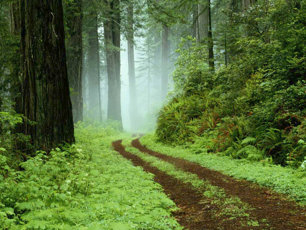
A forest path in Redwoods State Park, California.

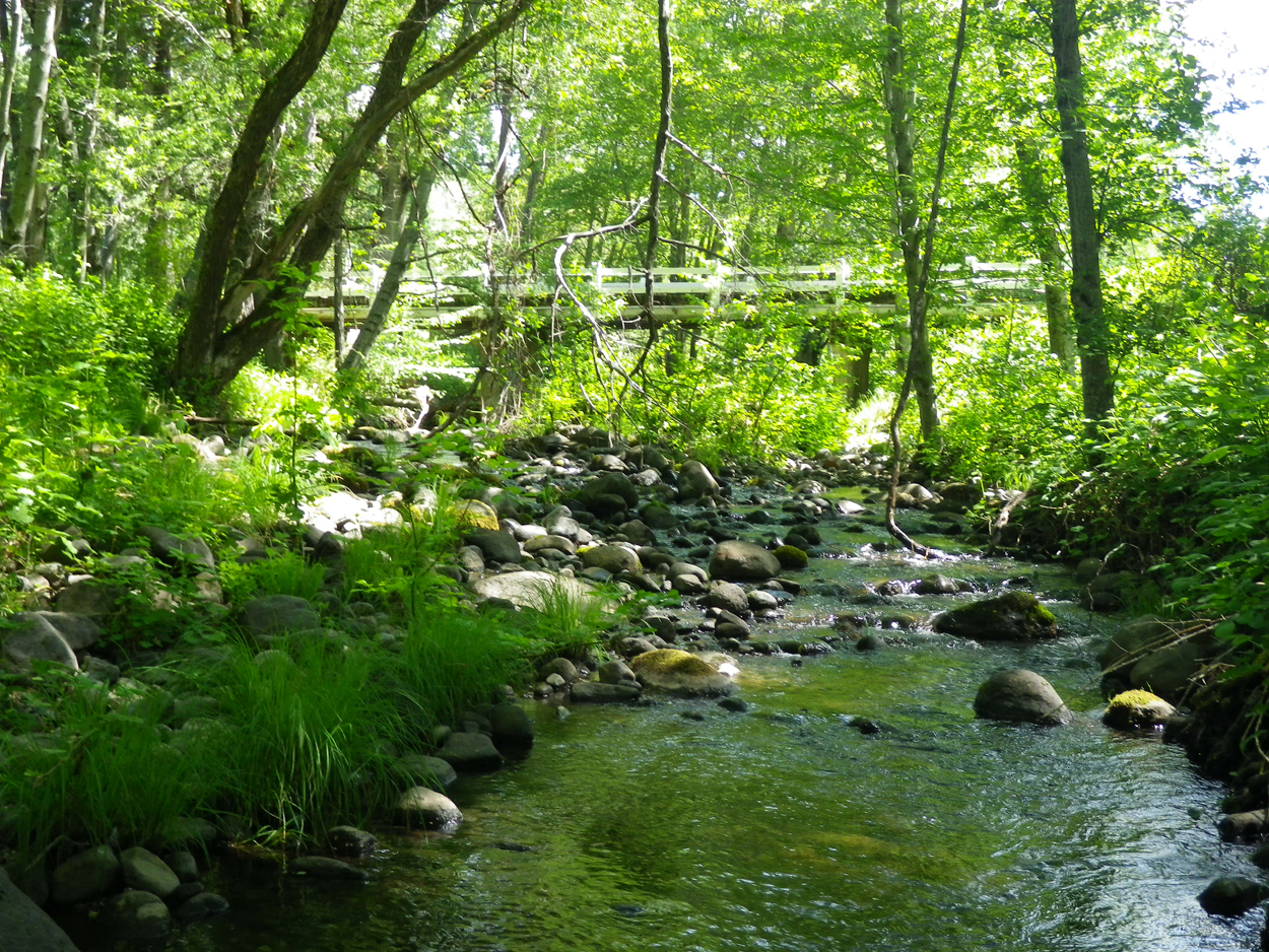
A forest path in Redwoods State Park, California.

Fairytale Land [03.30.13]
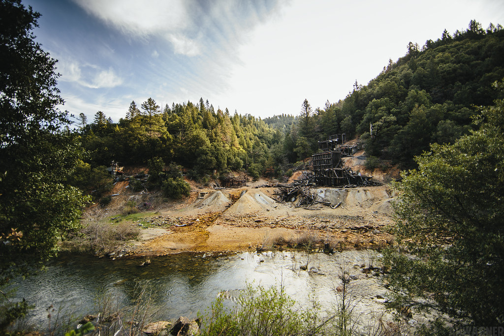
Ingot's Afterthought Mine [03.30.13]
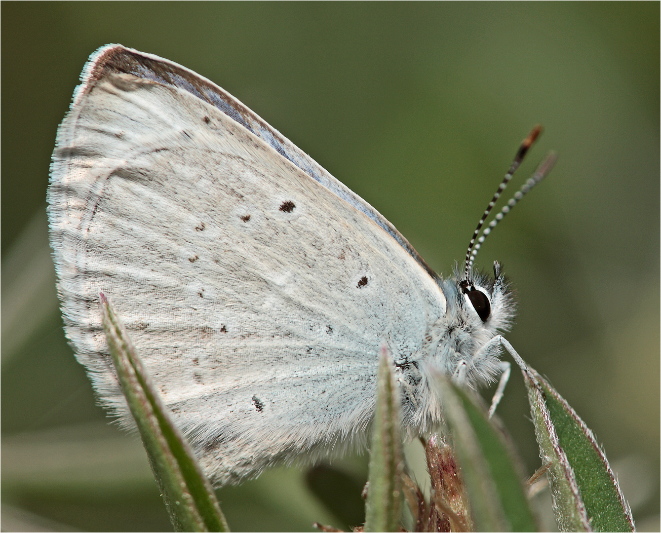
Boiduval's Blue

Highway 299 [03.30.13]
Ott-Stahl

Sandhill Skipper

Kilarc Reservoir
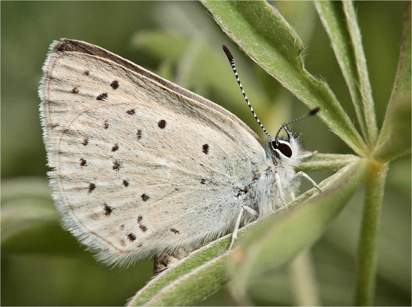
Boisduval's Blue

Sandhill Skipper

_8210034.NEF

Dreamy Duskywing
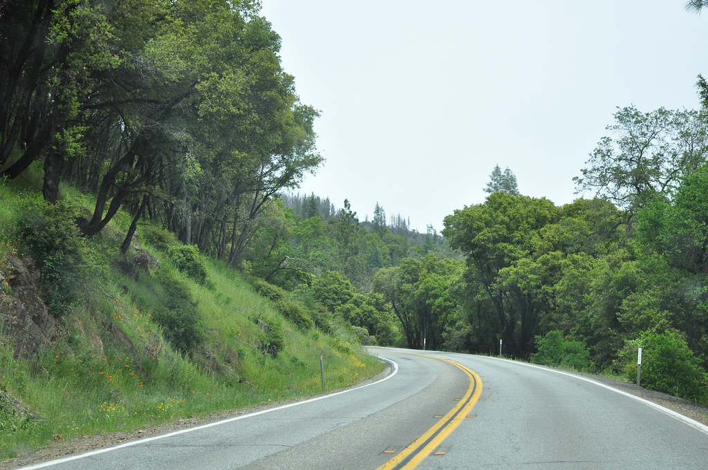
Route 299
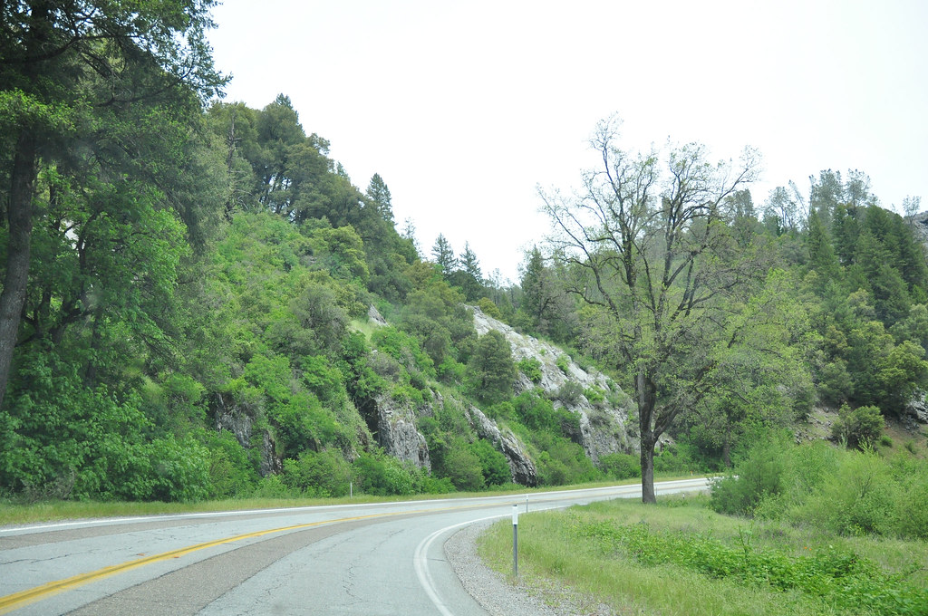
Route 299

Secret Turkey Spot- decoy in place

CIMG0357.JPG
Topographic Map of Fern Rd E, Whitmore, CA, USA
Find elevation by address:

Places near Fern Rd E, Whitmore, CA, USA:
30057 Rl Smith Logging Rd
30057 Smith Logging Rd
30057 Smith Logging Rd
30057 Smith Logging Rd
14788 Phillips Rd
12847 Fern Rd
13353 Fern Rd
30303 Fremont Way
30303 Fremont Way
12855 Fern Rd
12645 Fern Rd
15130 Sherwood Forest Rd
15130 Sherwood Forest Rd
15130 Sherwood Forest Rd
15130 Sherwood Forrest Rd
15130 Sherwood Forrest Rd
15130 Sherwood Forrest Rd
11870 Atkins Rd
Whitmore
15333 Emerald Woods Ln
Recent Searches:
- Elevation of Pykes Down, Ivybridge PL21 0BY, UK
- Elevation of Jalan Senandin, Lutong, Miri, Sarawak, Malaysia
- Elevation of Bilohirs'k
- Elevation of 30 Oak Lawn Dr, Barkhamsted, CT, USA
- Elevation of Luther Road, Luther Rd, Auburn, CA, USA
- Elevation of Unnamed Road, Respublika Severnaya Osetiya — Alaniya, Russia
- Elevation of Verkhny Fiagdon, North Ossetia–Alania Republic, Russia
- Elevation of F. Viola Hiway, San Rafael, Bulacan, Philippines
- Elevation of Herbage Dr, Gulfport, MS, USA
- Elevation of Lilac Cir, Haldimand, ON N3W 2G9, Canada