Elevation of Fermanagh Township, PA, USA
Location: United States > Pennsylvania > Juniata County >
Longitude: -77.389860
Latitude: 40.6184009
Elevation: 252m / 827feet
Barometric Pressure: 98KPa
Elevation Map:
Satellite Map:
Related Photos:
eBird Doc Shot: Trumpeter Swans
C of G ES44AC-8101, NS C40-9W-9582 E/B 20W at Port Royal, PA
1980 11-30 3:10PM CR SD45-6136 E/B, Mexico, PA.
A River Runs Through It
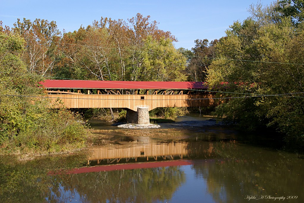
Academia Pomeroy Covered Bridge

Academia Pomeroy Covered Bridge
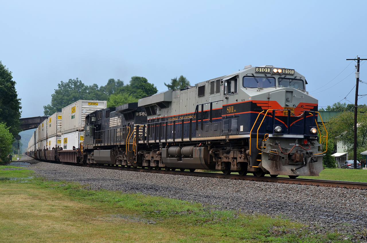
C of G ES44AC-8101, NS C40-9W-9582 E/B 20W at Port Royal, PA
Miffed in Mifflin

View upstream from the Stone Arch Bridge
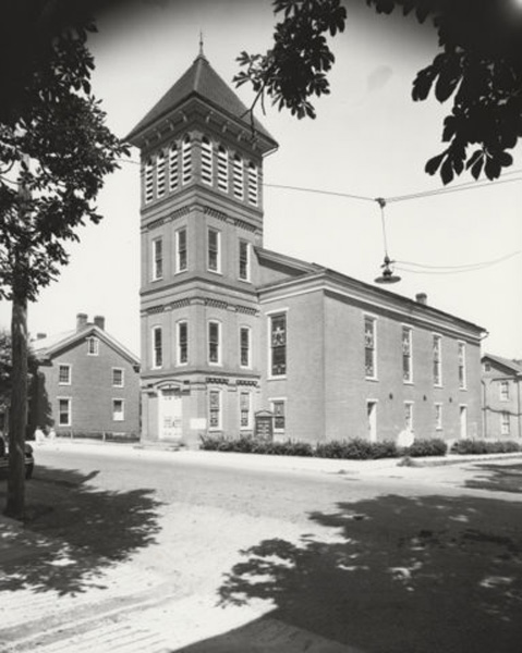
Port Royal (Pa.) Lutheran Church: exterior view (undated)
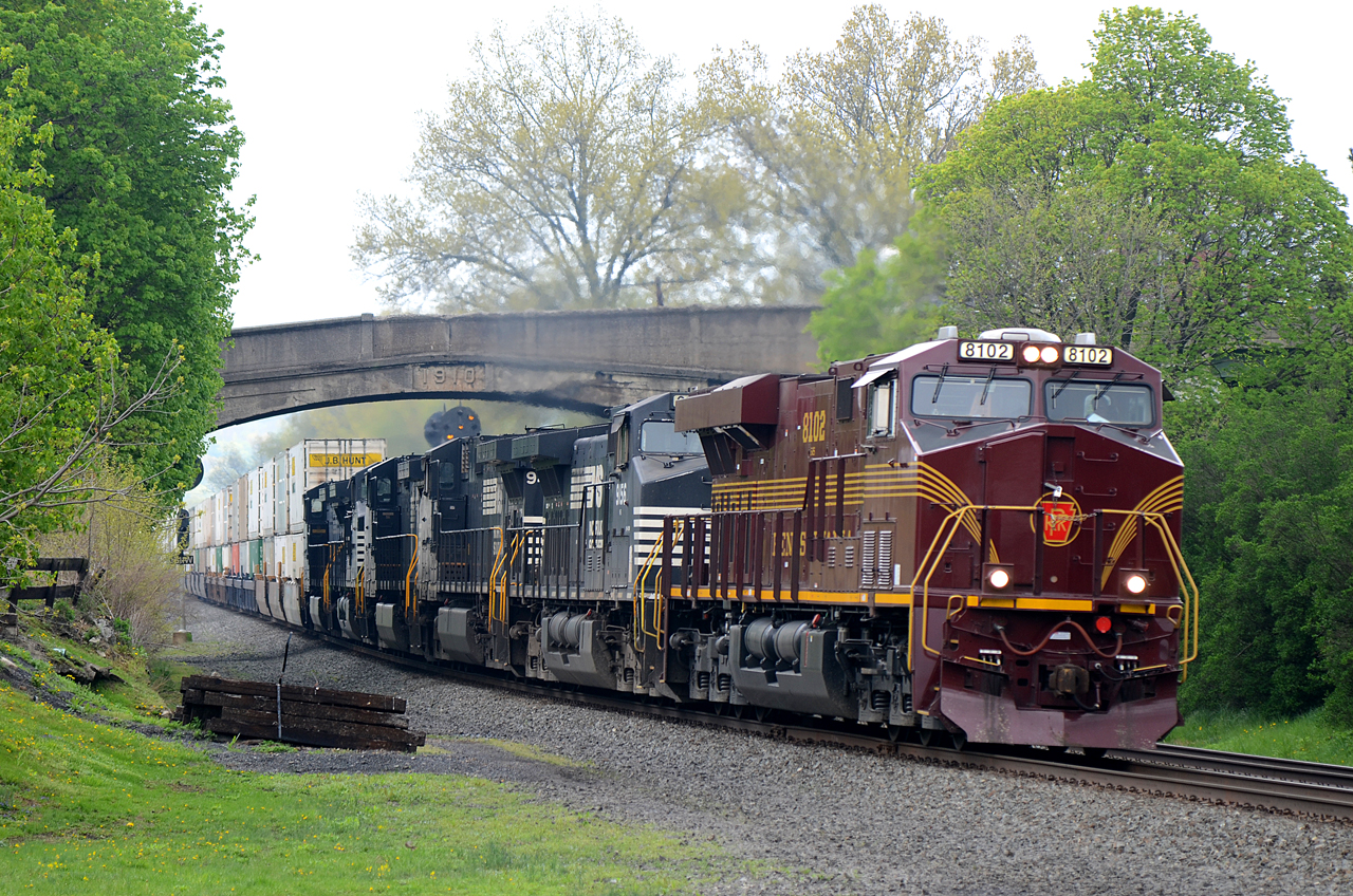
PRR-NS ES44AC-8102 E/B 26T at Port Royal, PA
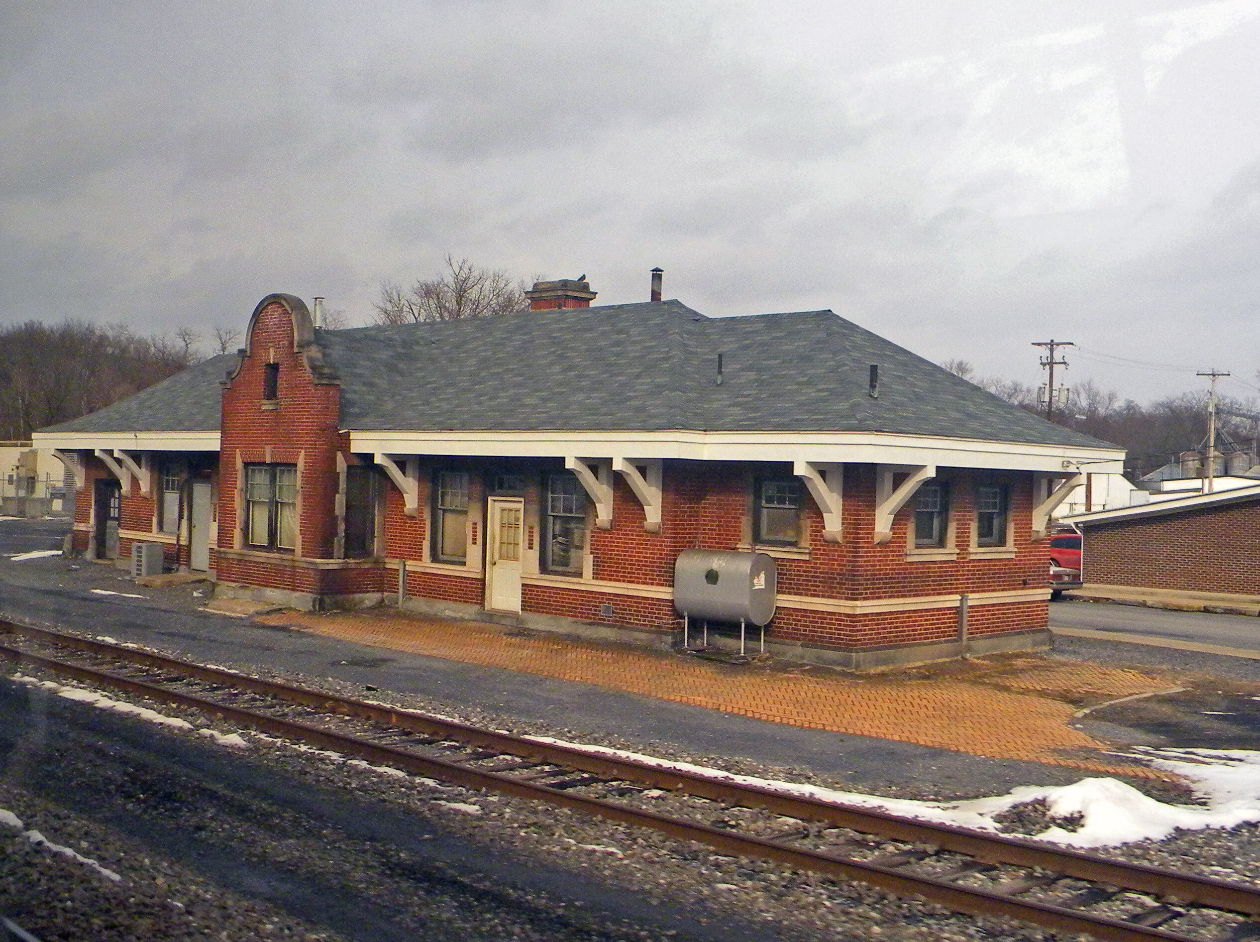
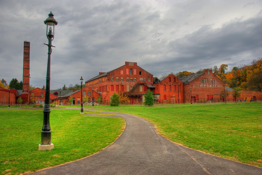
Pennsylvania: Mifflin: Pennsylvania Railroad Station
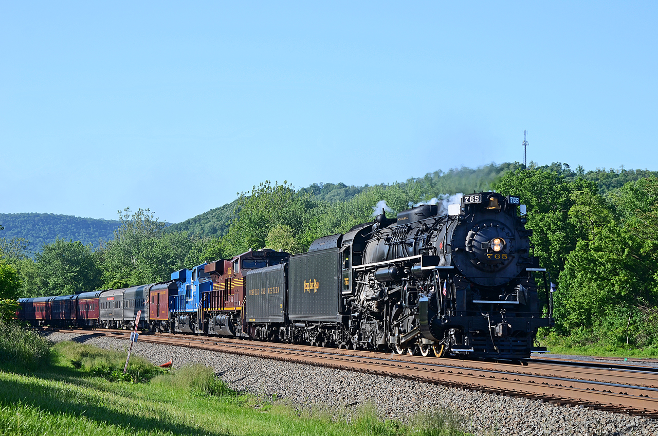
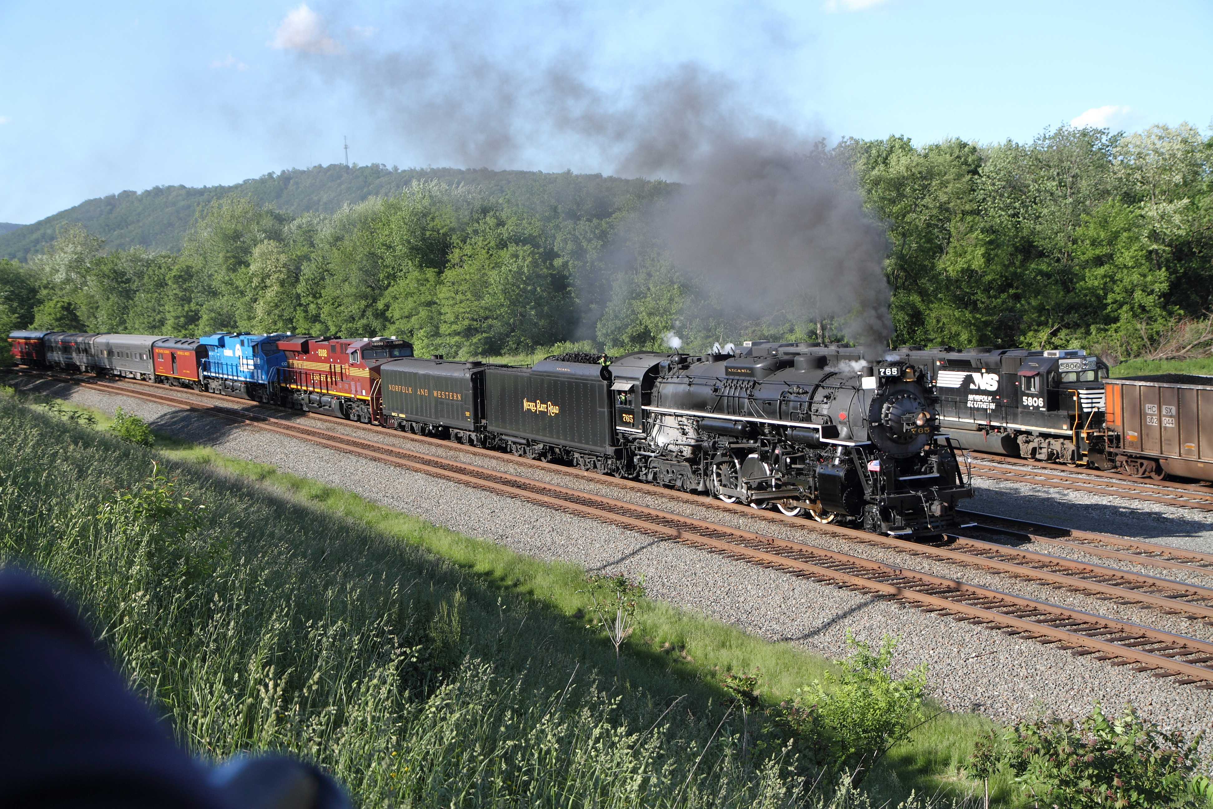
NKP 2-8-4 765, PRR ES44AC-8102, CR ES44AC-8098 E/B 061 at Mifflin, PA
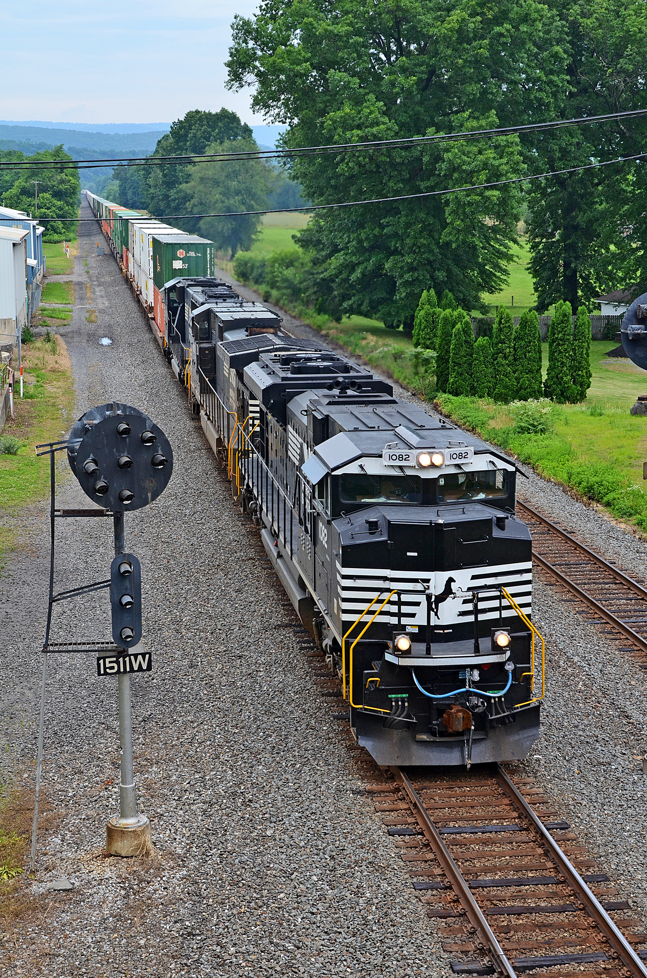
DIFFERENT VIEWS AT PORT ROYAL. NS SD70ACe-1082 E/B 20T at Port Royal, PA
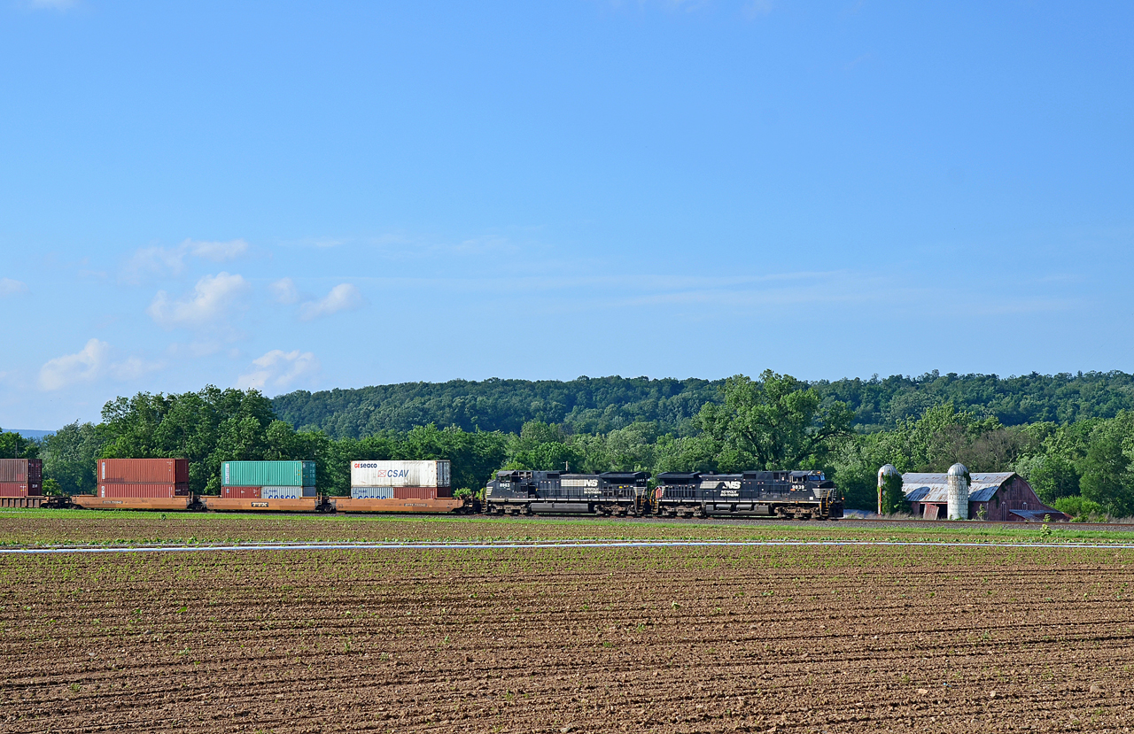
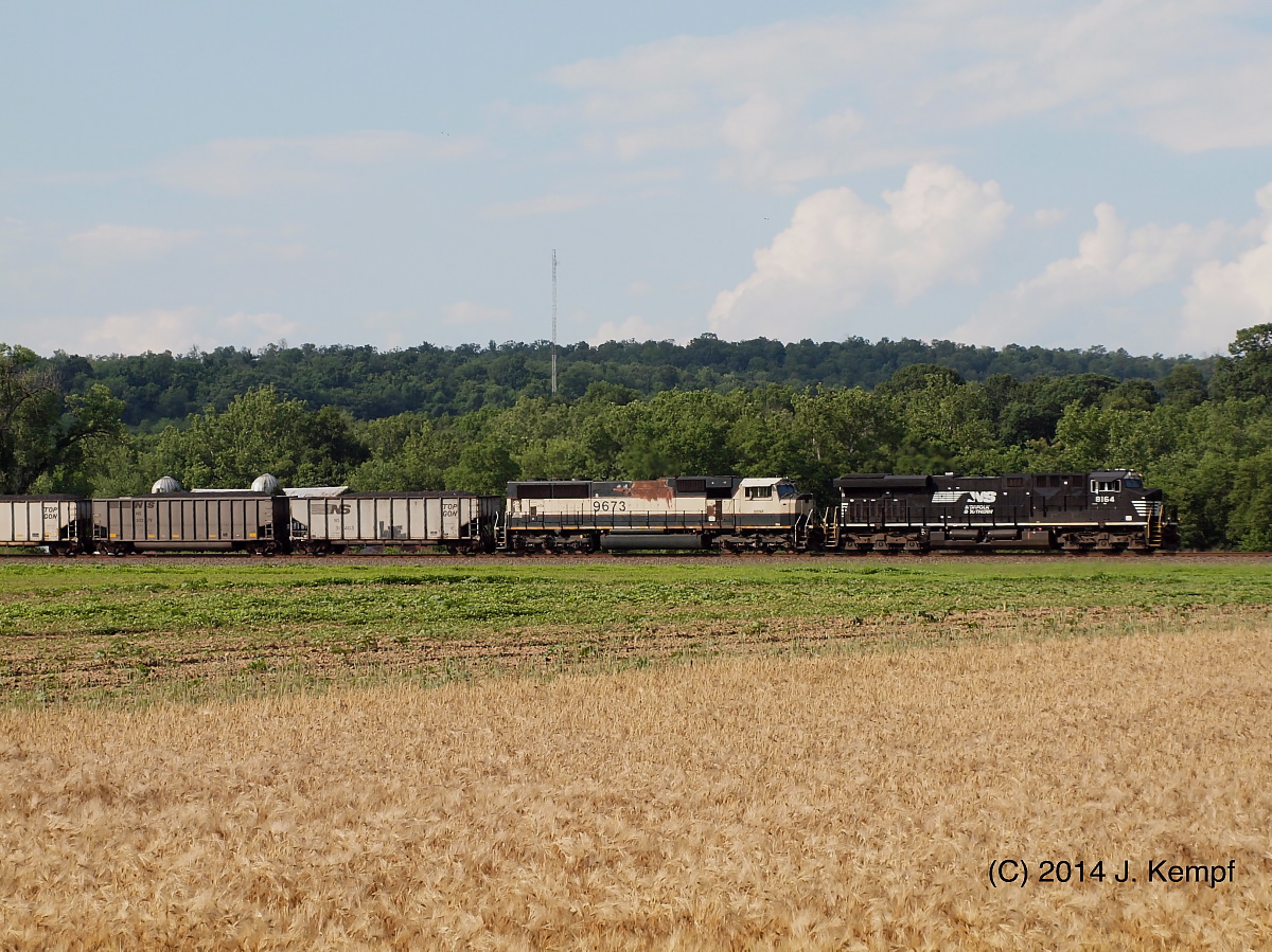
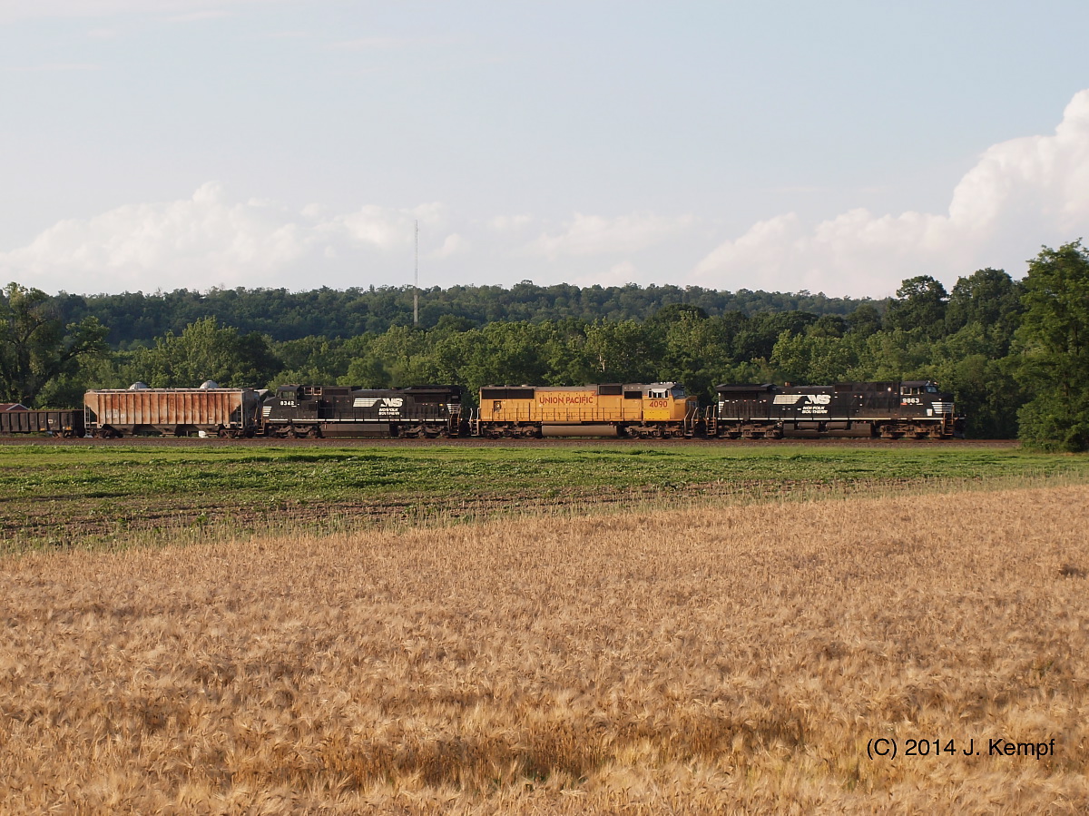
NS C40-9W-9839, 8963 E/B 20W at Mexico, PA
Three Wise Guys

Juniata River
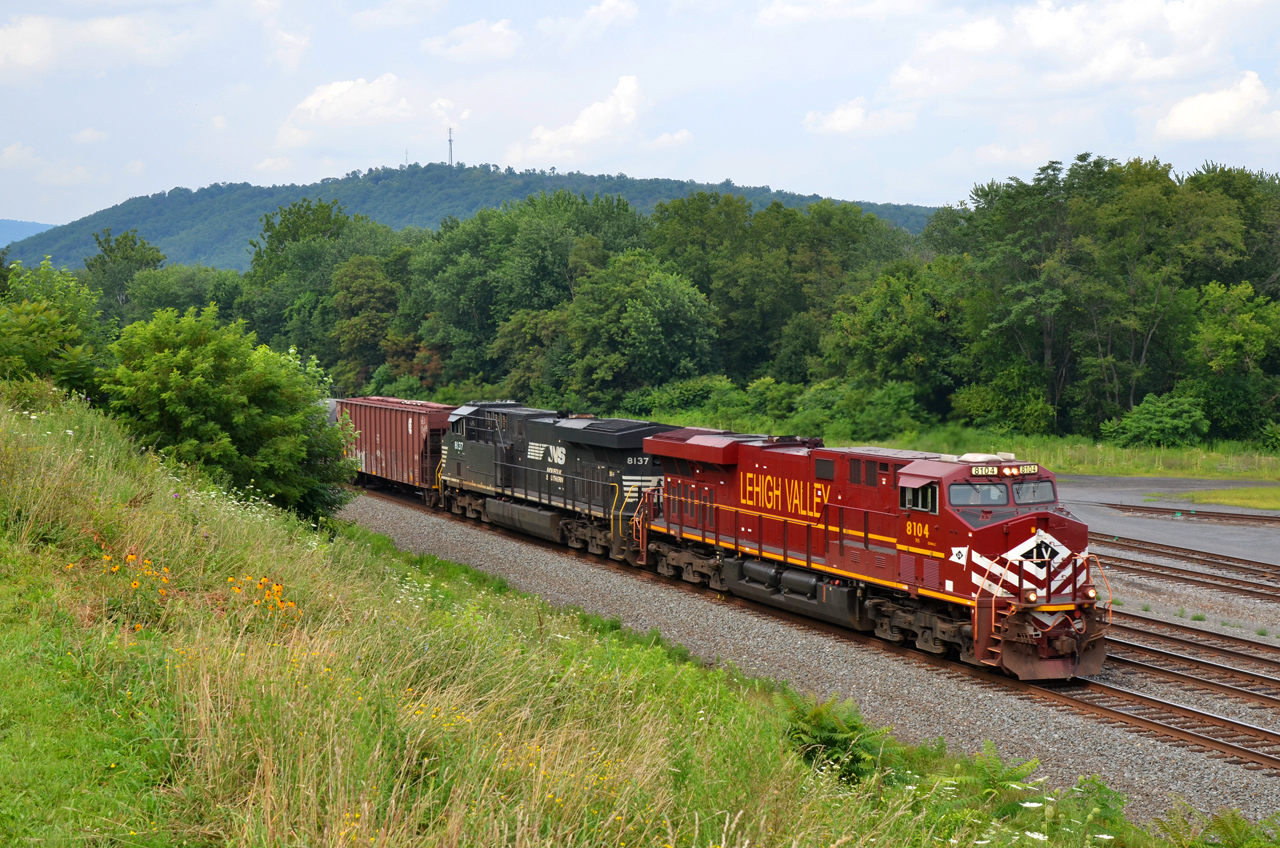
2015 07-26 1536 LV ES44AC-8104 E/B 66Z at Mifflin, PA

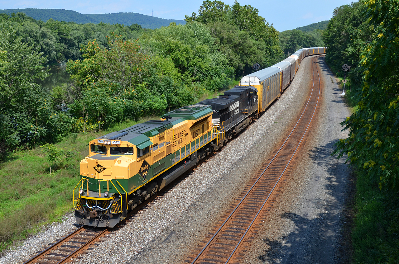
RDG SD70ACe-1067, NS SD70ACe-1126 W/B 777 at Thompsontown Station, PA.
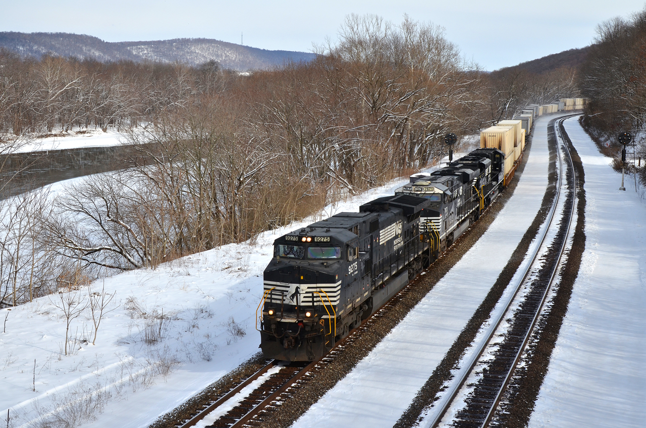
NS C40-9W-9275 W/B 21-E at Thompsontown Station, PA.
WIDE VIEW. RDG-NS SD70ACe-1067 WB 11J at Thompsontown Station, PA
#trains #travel

Hall of the Mountain King

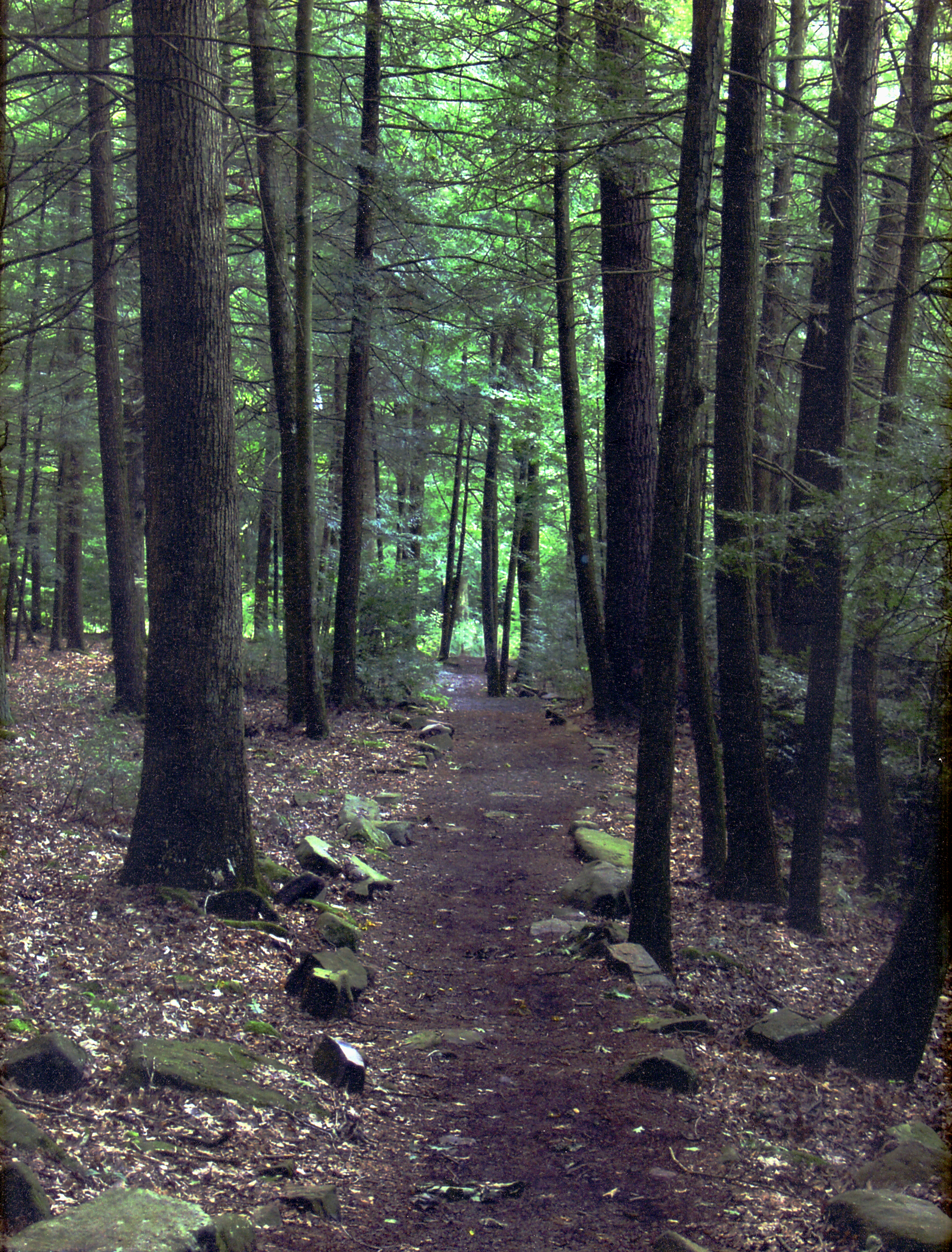
...and the hills go on forever

Reeds Gap State Park

Jimsonweed Pod

Lookin' towards Lickin' Crick
HDR fall
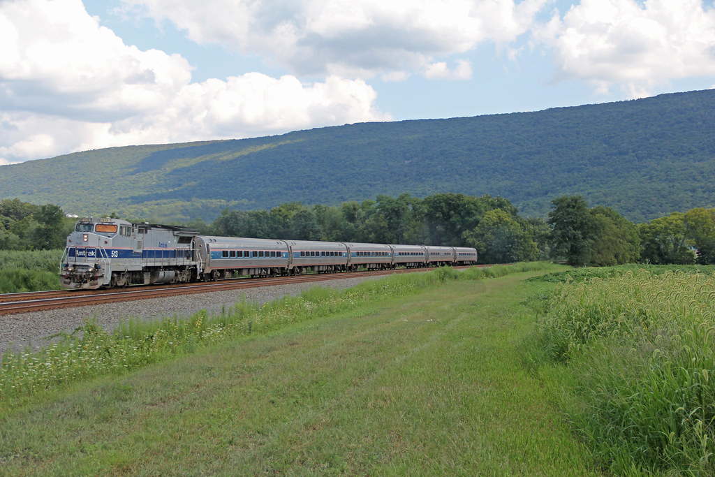
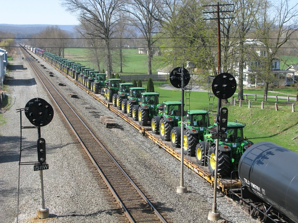
Amtrak at Mexico
Reeds Gap State Park

Near McAlisterville, Pa.

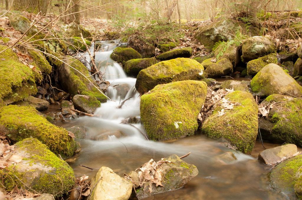
Stream @ Bald Eagle Forest
Match maker
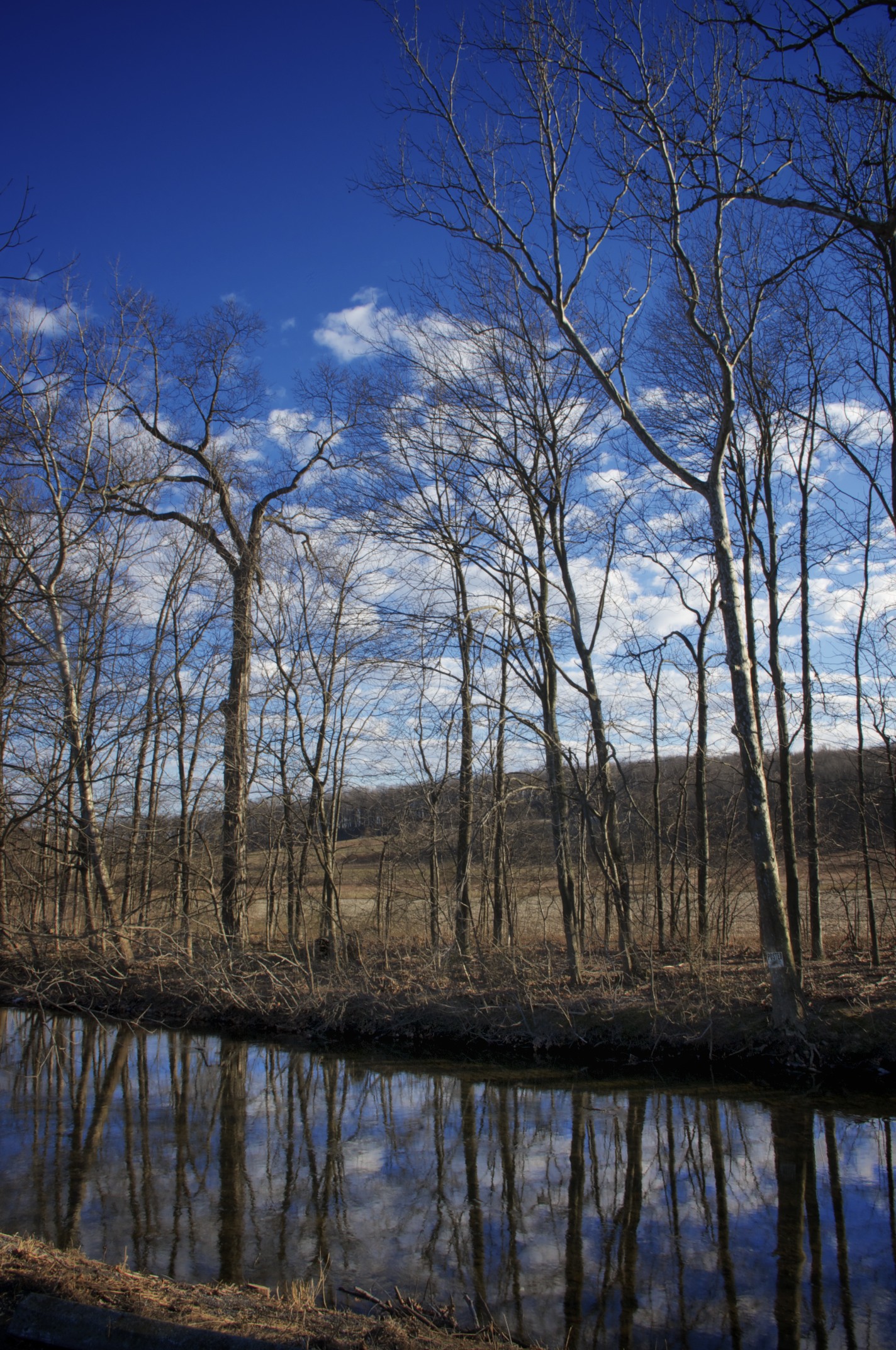
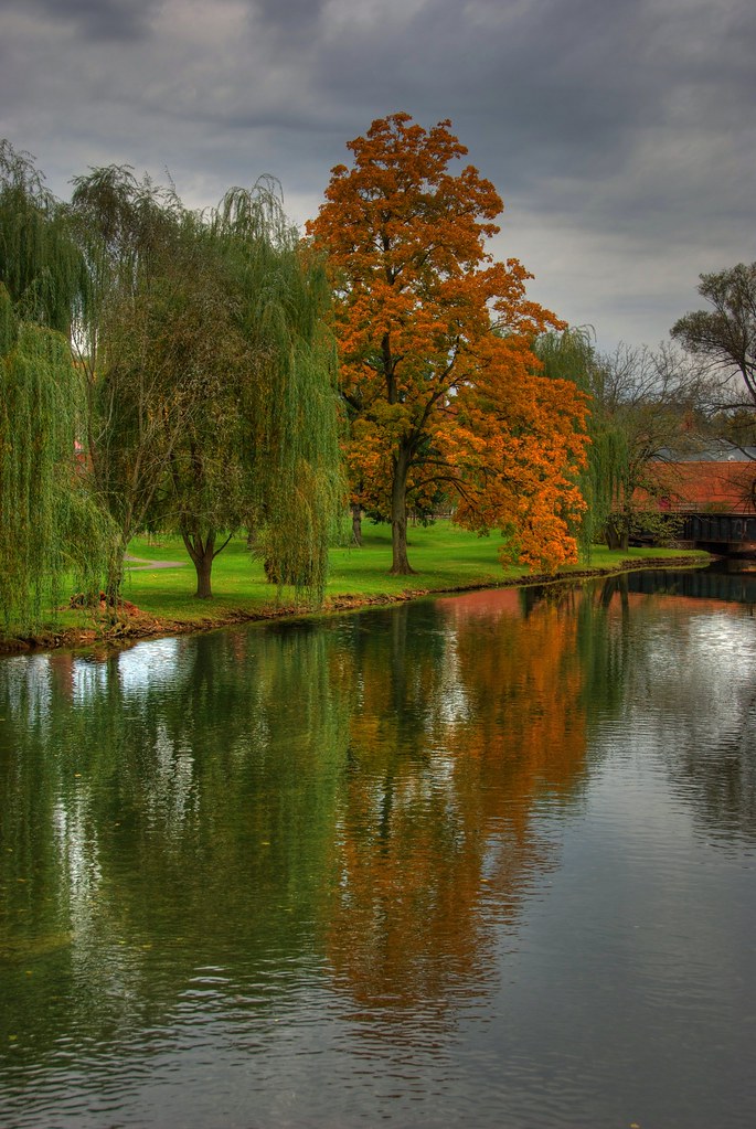
Creek Reflection
I Go Walking in Your Landscape...
NS 568. June 22, 2014
NS 16N. June 22, 2014
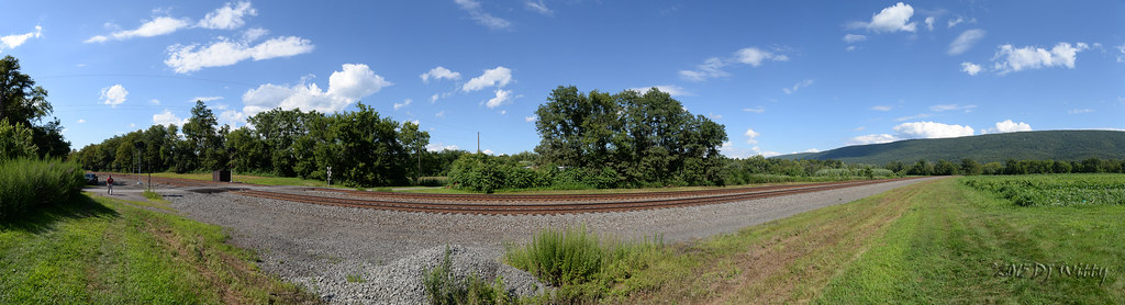
Mexico Panorama

Scattered Sunlight
Topographic Map of Fermanagh Township, PA, USA
Find elevation by address:

Places in Fermanagh Township, PA, USA:
Places near Fermanagh Township, PA, USA:
74 Forest Rd, Mifflintown, PA, USA
Shintown Mountain Ln, McClure, PA, USA
Decatur Township
Blueberry Hill
9 Stage Farm Ln, McClure, PA, USA
Derry Township
3900 Knob Ridge Rd
Armagh Township
10 Crownover Dr
10 Crownover Dr
Shirk Drive
6th Ave, Burnham, PA, USA
Burnham
4th St, Yeagertown, PA, USA
Reedsville
Mifflin County
54 Liane St, Milroy, PA, USA
Milroy
Ellen Chapel Lane
Mifflin County Sportsmens Association
Recent Searches:
- Elevation of Royal Ontario Museum, Queens Park, Toronto, ON M5S 2C6, Canada
- Elevation of Groblershoop, South Africa
- Elevation of Power Generation Enterprises | Industrial Diesel Generators, Oak Ave, Canyon Country, CA, USA
- Elevation of Chesaw Rd, Oroville, WA, USA
- Elevation of N, Mt Pleasant, UT, USA
- Elevation of 6 Rue Jules Ferry, Beausoleil, France
- Elevation of Sattva Horizon, 4JC6+G9P, Vinayak Nagar, Kattigenahalli, Bengaluru, Karnataka, India
- Elevation of Great Brook Sports, Gold Star Hwy, Groton, CT, USA
- Elevation of 10 Mountain Laurels Dr, Nashua, NH, USA
- Elevation of 16 Gilboa Ln, Nashua, NH, USA