Elevation of Ferguson Rd, Harpster, ID, USA
Location: United States > Idaho > Idaho County > Harpster >
Longitude: -115.95734
Latitude: 46.0014503
Elevation: 590m / 1936feet
Barometric Pressure: 94KPa
Elevation Map:
Satellite Map:
Related Photos:
Elk City Wagon Rd.
Morning Palouse
2010-07-31_whitefish3_029
120705-Idaho-ClearwaterRiver-JN118
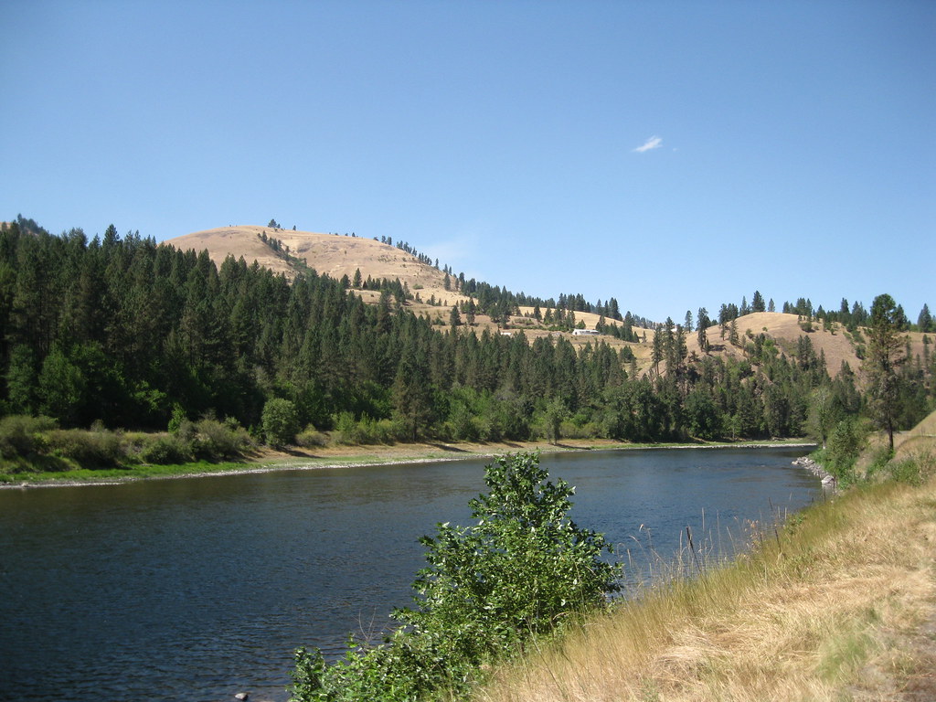
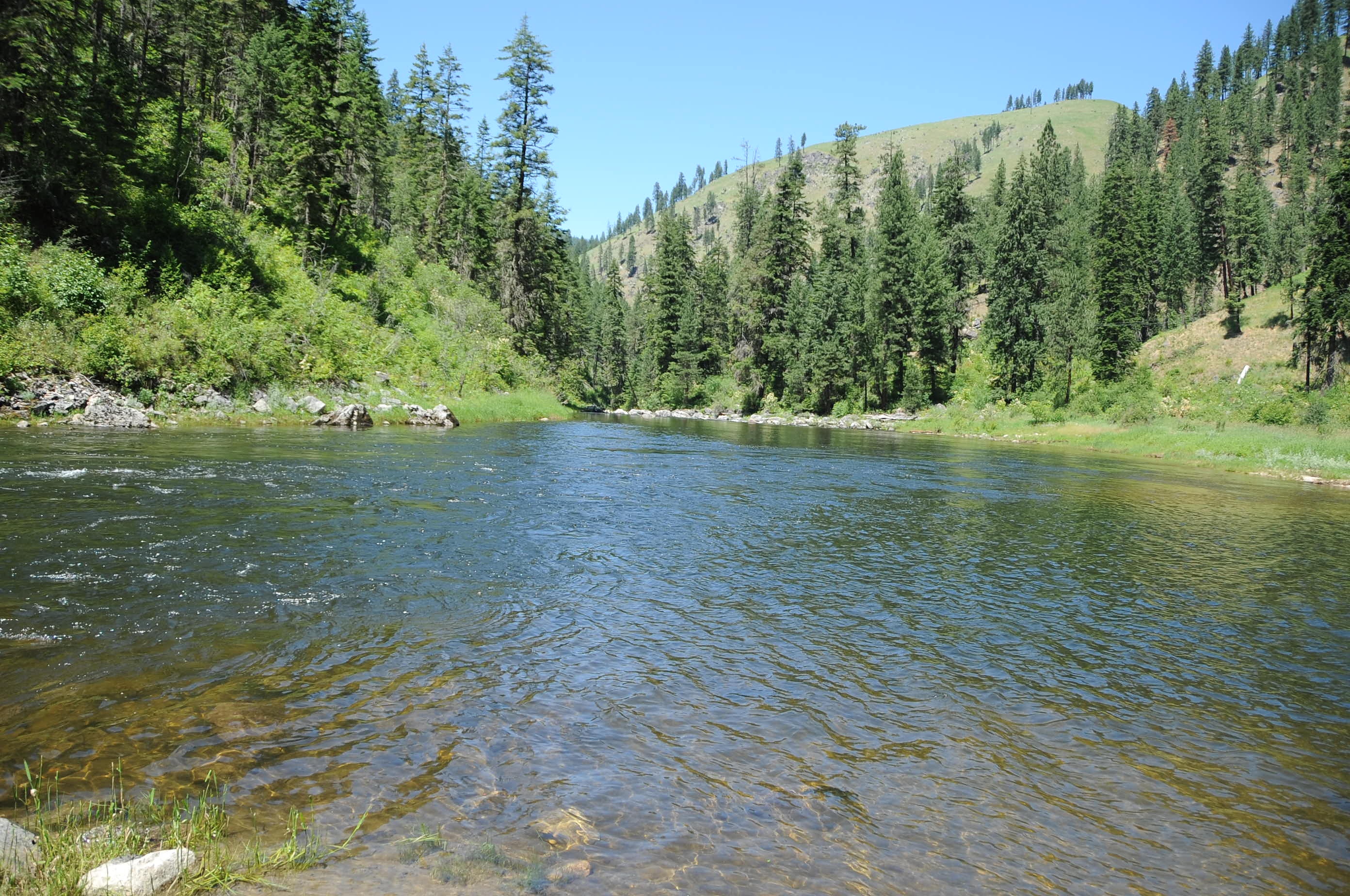
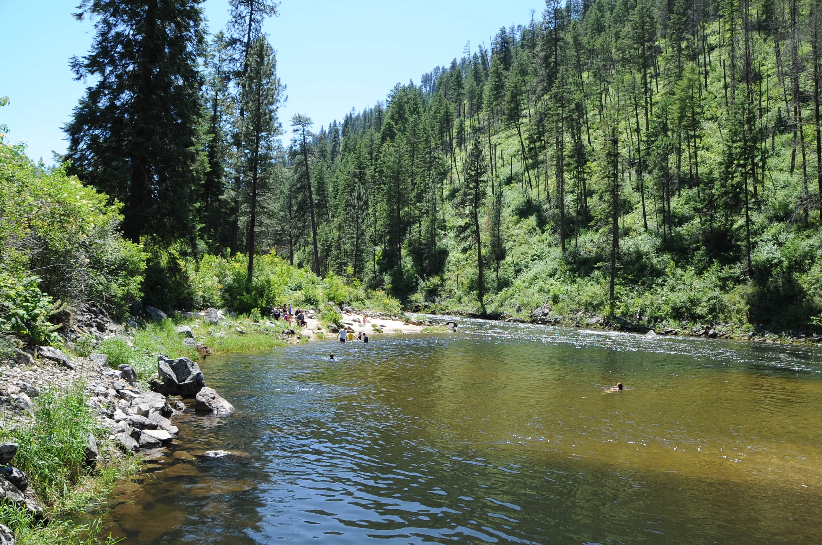
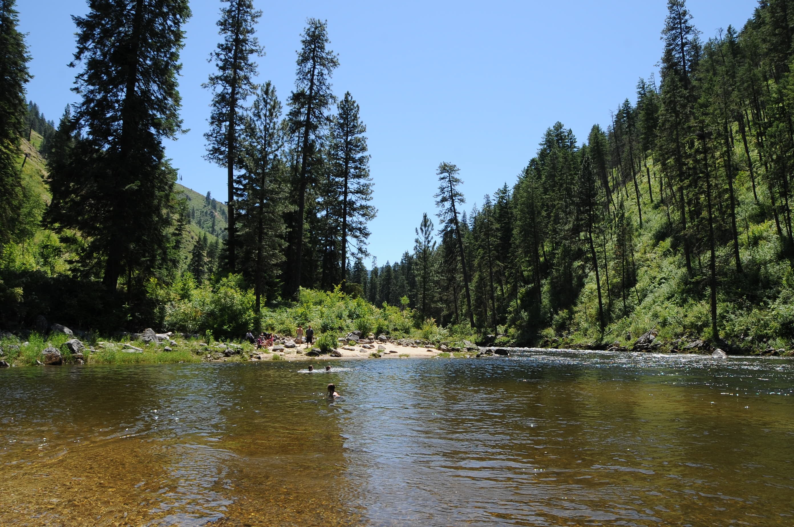
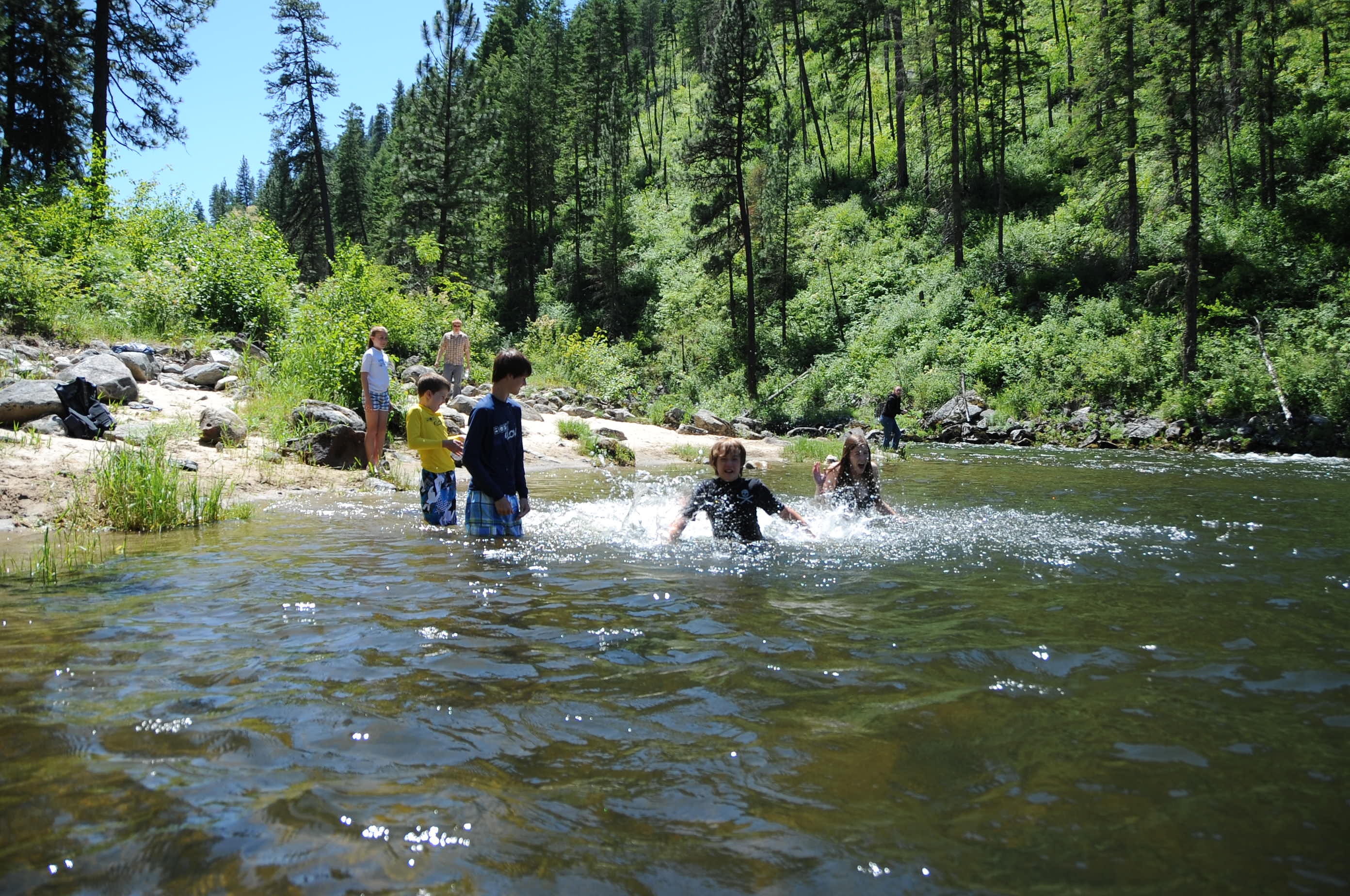
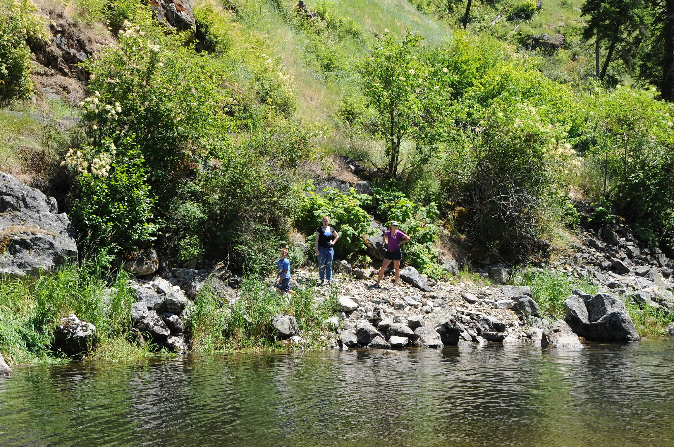
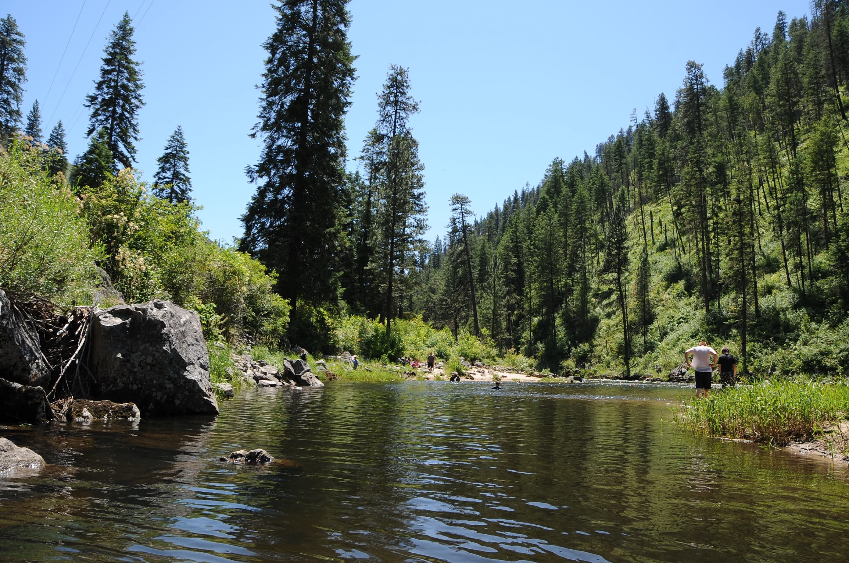
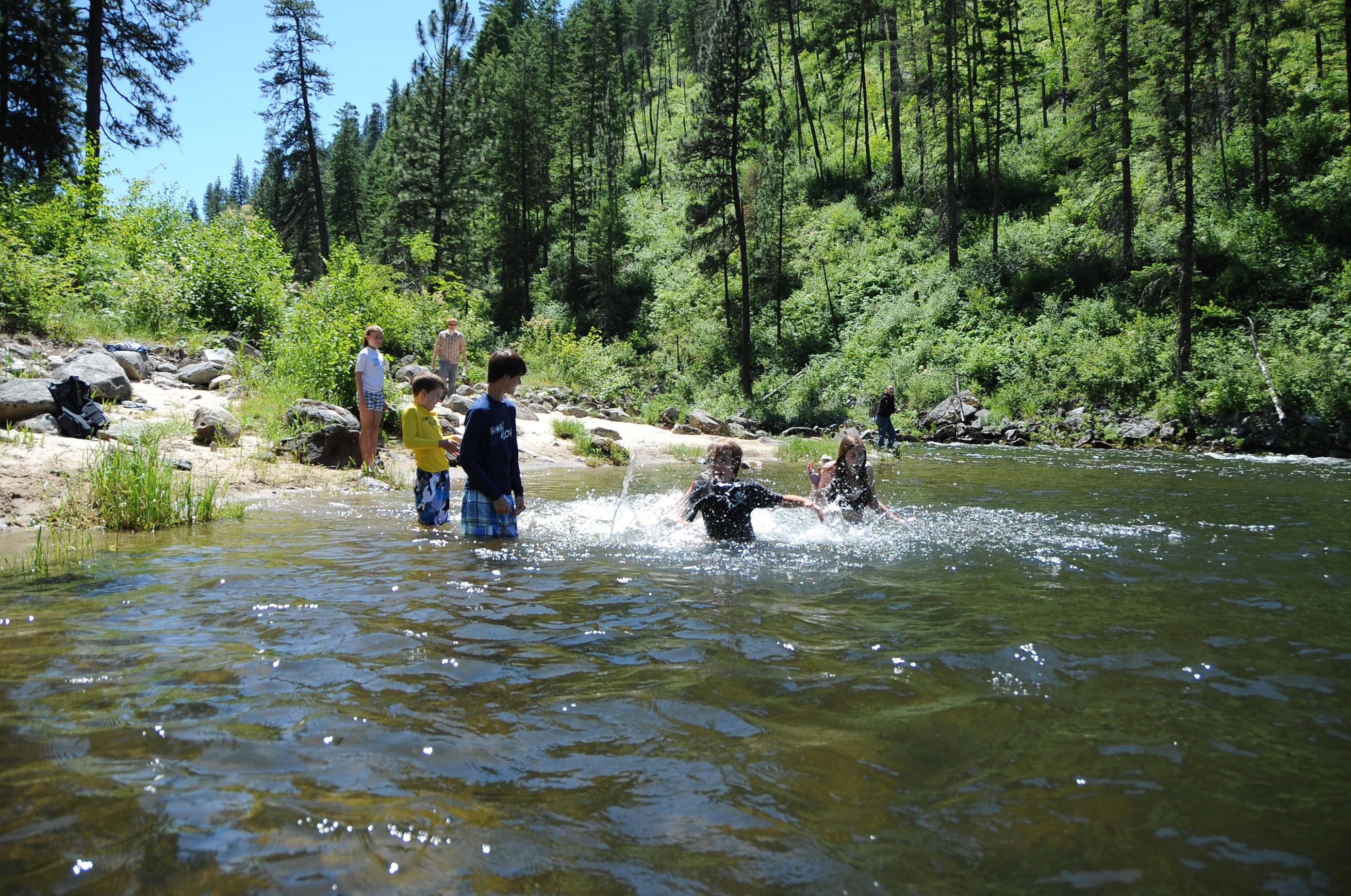
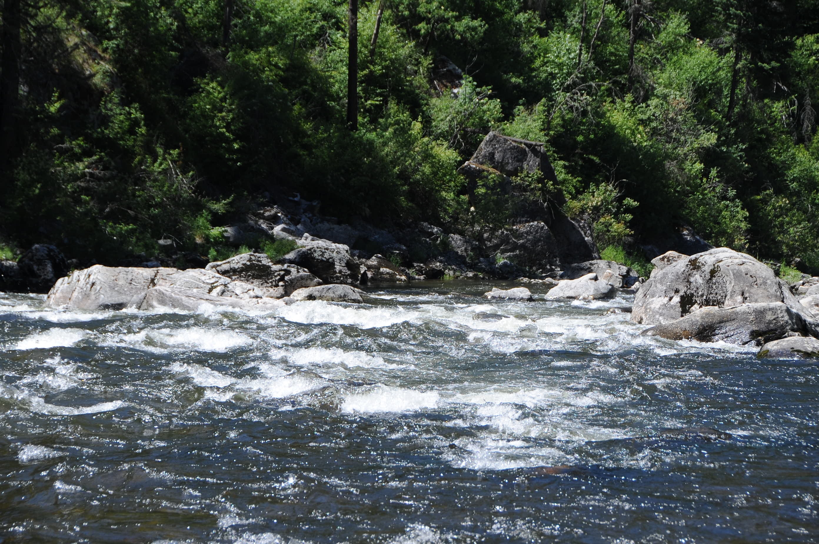
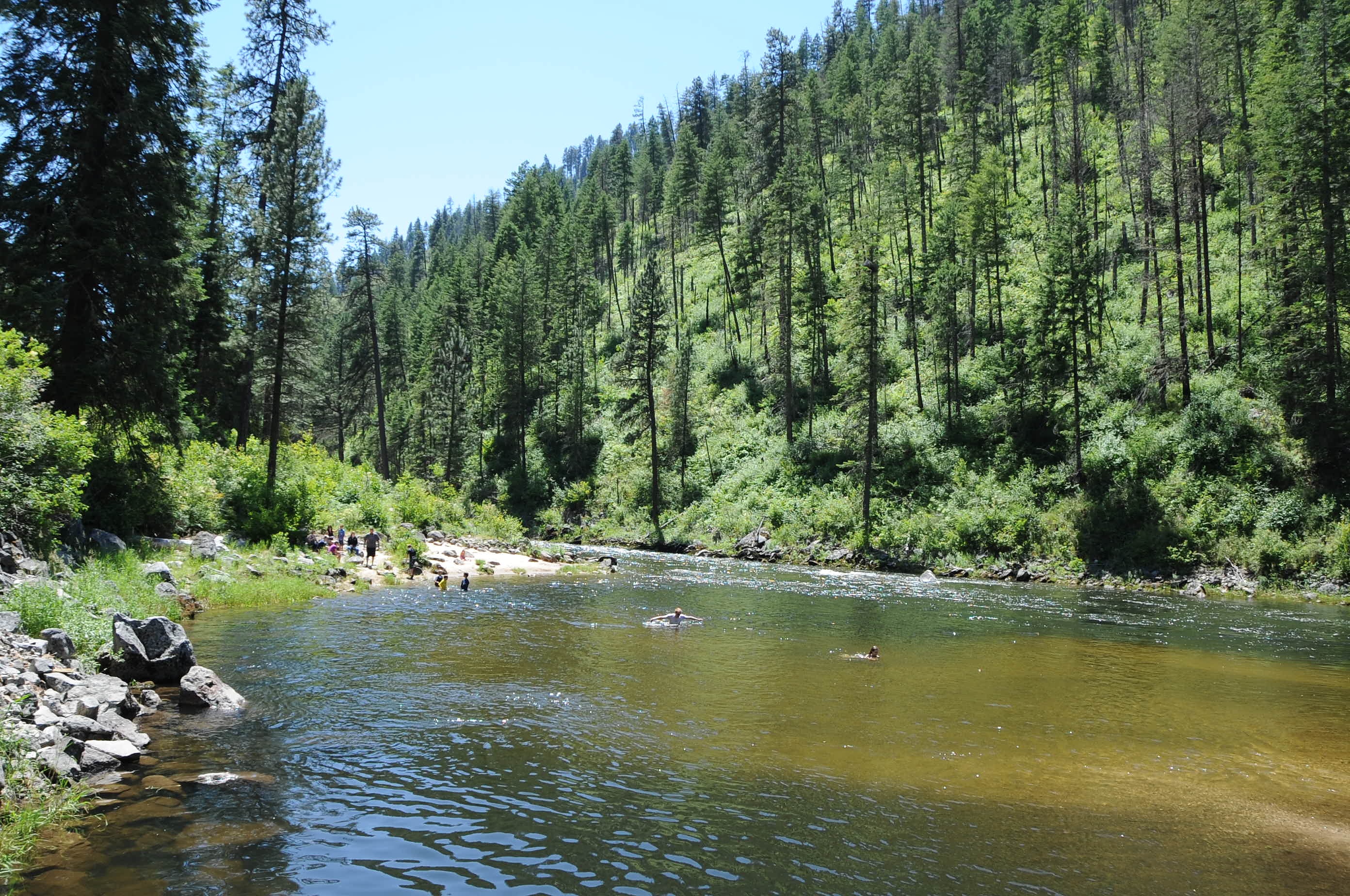
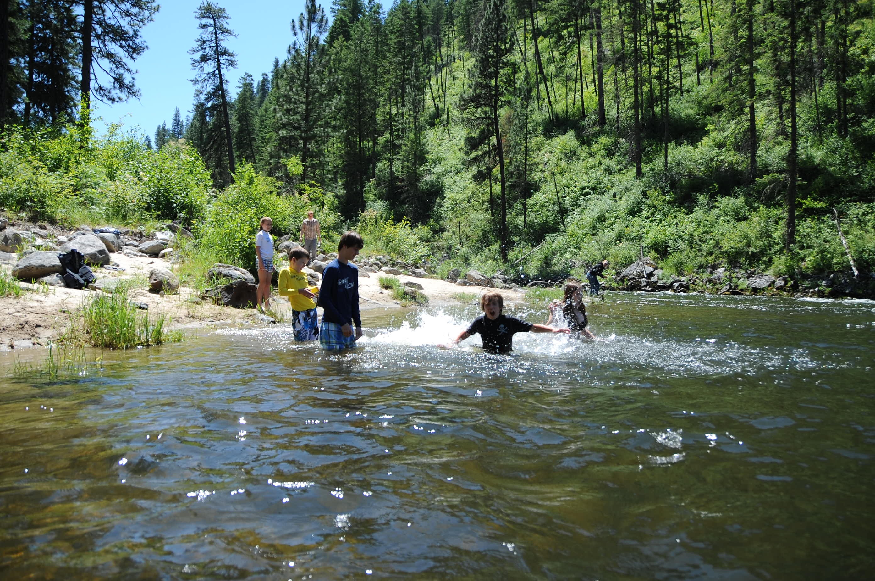
Clearwater River

120705-Idaho-ClearwaterRiver-JN059

2010-07-31_whitefish3_028

120705-Idaho-ClearwaterRiver-JN095
120705-Idaho-ClearwaterRiver-JN004
120705-Idaho-ClearwaterRiver-JN071
120705-Idaho-ClearwaterRiver-JN084

2010-07-31_whitefish3_024
120705-Idaho-ClearwaterRiver-JN025

120705-Idaho-ClearwaterRiver-JN068
120705-Idaho-ClearwaterRiver-JN088
120705-Idaho-ClearwaterRiver-JN081
120705-Idaho-ClearwaterRiver-JN026
120705-Idaho-ClearwaterRiver-JN108
2010-07-31_whitefish3_023
120705-Idaho-ClearwaterRiver-JN074

2010-07-31_whitefish3_030
120705-Idaho-ClearwaterRiver-JN021
Topographic Map of Ferguson Rd, Harpster, ID, USA
Find elevation by address:

Places near Ferguson Rd, Harpster, ID, USA:
181 Ferguson Rd
Harpster
Lightning Creek Road
858 Wall Creek Rd
145 Homestead Rd
Pleasant Valley Road
Green Creek Road
Stites
124 Agee Ln
378 Clearcreek Rd
137 Mulledy Rd
159 Battle Ridge Rd
155 Falcon Ridge Rd
211 Falcon Ridge Rd
5 Black Tail View
96 Black Tail View
162 Red Fir Rd
148 Too Kush Rd
170 Red Fir Rd
473 Big Cedar Rd
Recent Searches:
- Elevation of Rojo Ct, Atascadero, CA, USA
- Elevation of Flagstaff Drive, Flagstaff Dr, North Carolina, USA
- Elevation of Avery Ln, Lakeland, FL, USA
- Elevation of Woolwine, VA, USA
- Elevation of Lumagwas Diversified Farmers Multi-Purpose Cooperative, Lumagwas, Adtuyon, RV32+MH7, Pangantucan, Bukidnon, Philippines
- Elevation of Homestead Ridge, New Braunfels, TX, USA
- Elevation of Orchard Road, Orchard Rd, Marlborough, NY, USA
- Elevation of 12 Hutchinson Woods Dr, Fletcher, NC, USA
- Elevation of Holloway Ave, San Francisco, CA, USA
- Elevation of Norfolk, NY, USA