Elevation of Felicity Cedron Rural Rd, Georgetown, OH, USA
Location: United States > Ohio > Clermont County > Franklin Township >
Longitude: -84.055363
Latitude: 38.806247
Elevation: 165m / 541feet
Barometric Pressure: 99KPa
Elevation Map:
Satellite Map:
Related Photos:

Neville, Ohio
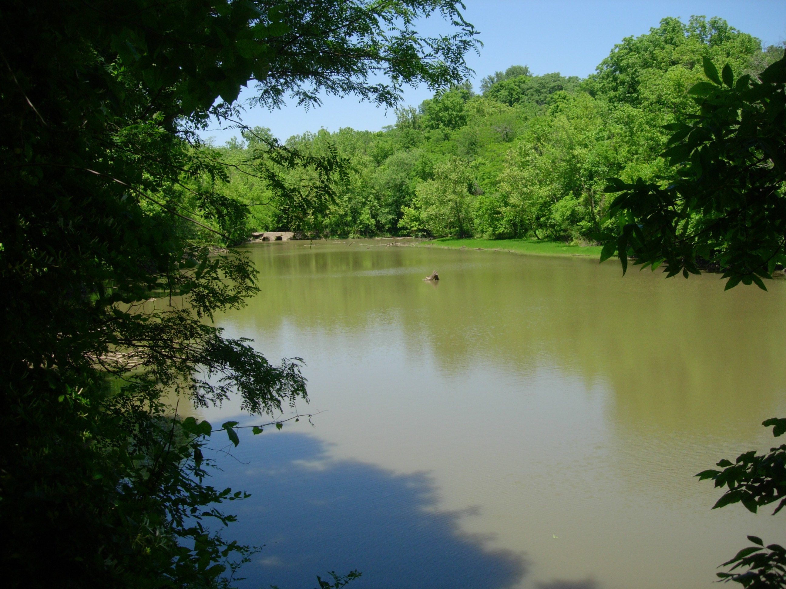
Crooked Run Estuary

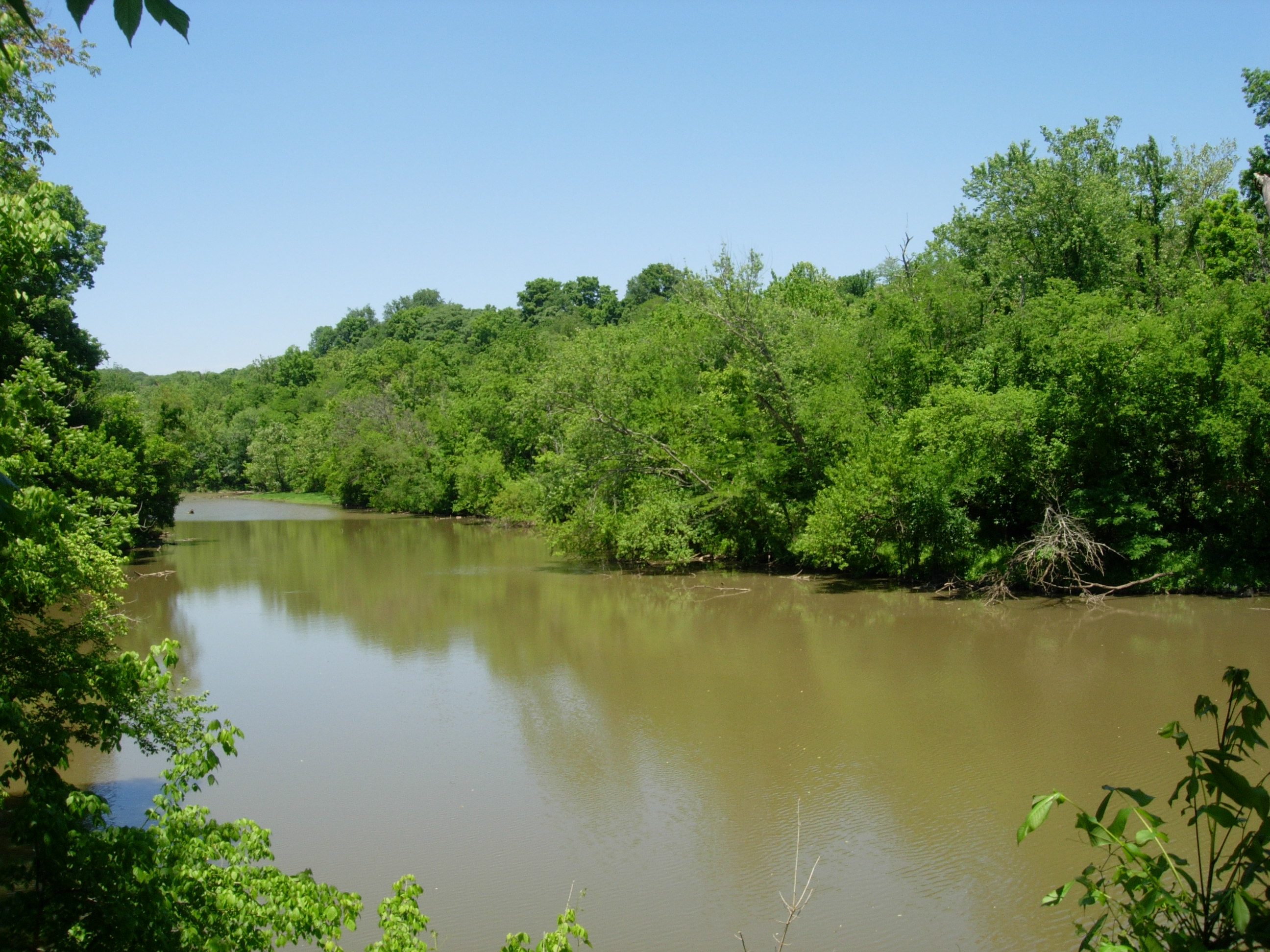
Ohio River from Crooked Run

Today in the Ohio Valley

Crooked Run Meadow
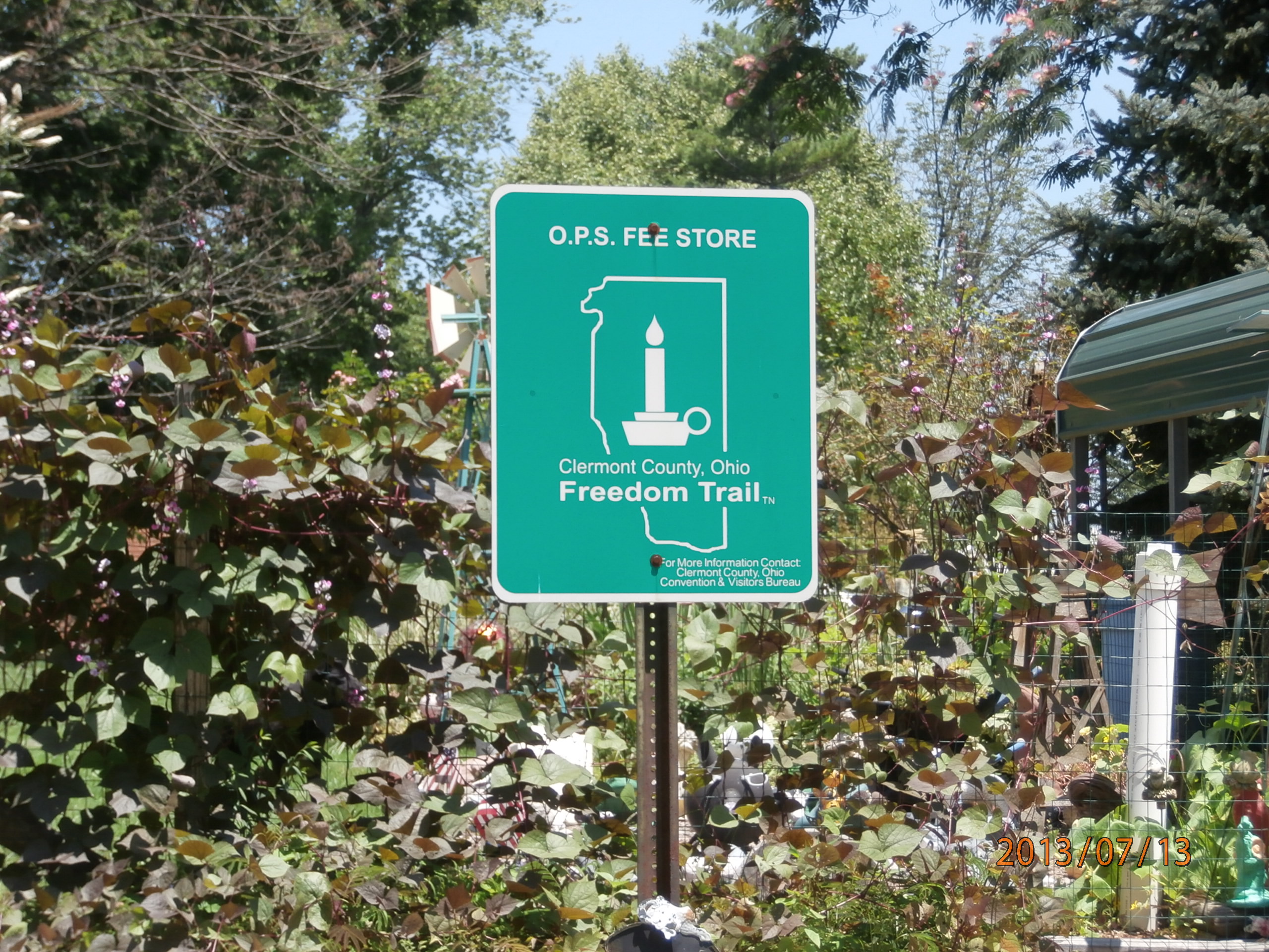
O.P.S. Fee Store

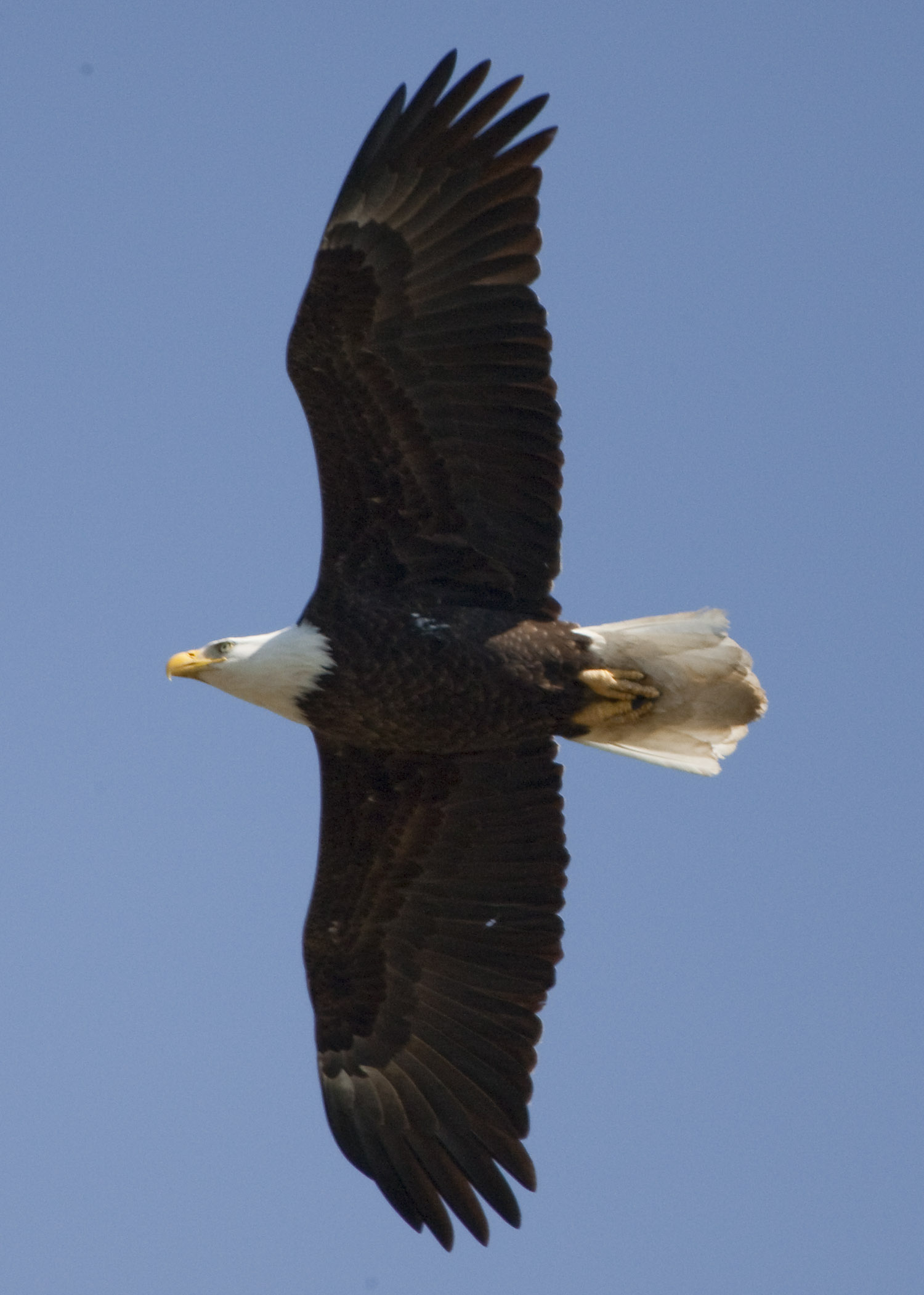
BALD EAGLE
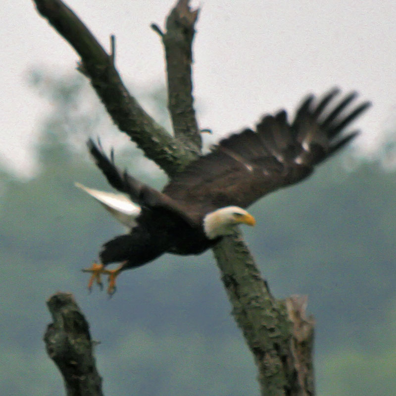
BALD EAGLE
Felicity, Ohio

Chilo Lock 34 Park Scenic View
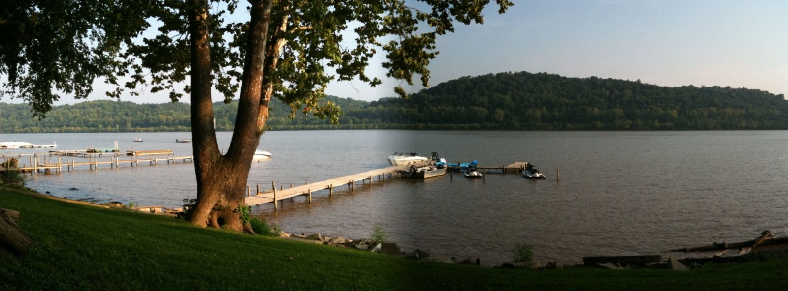
River View
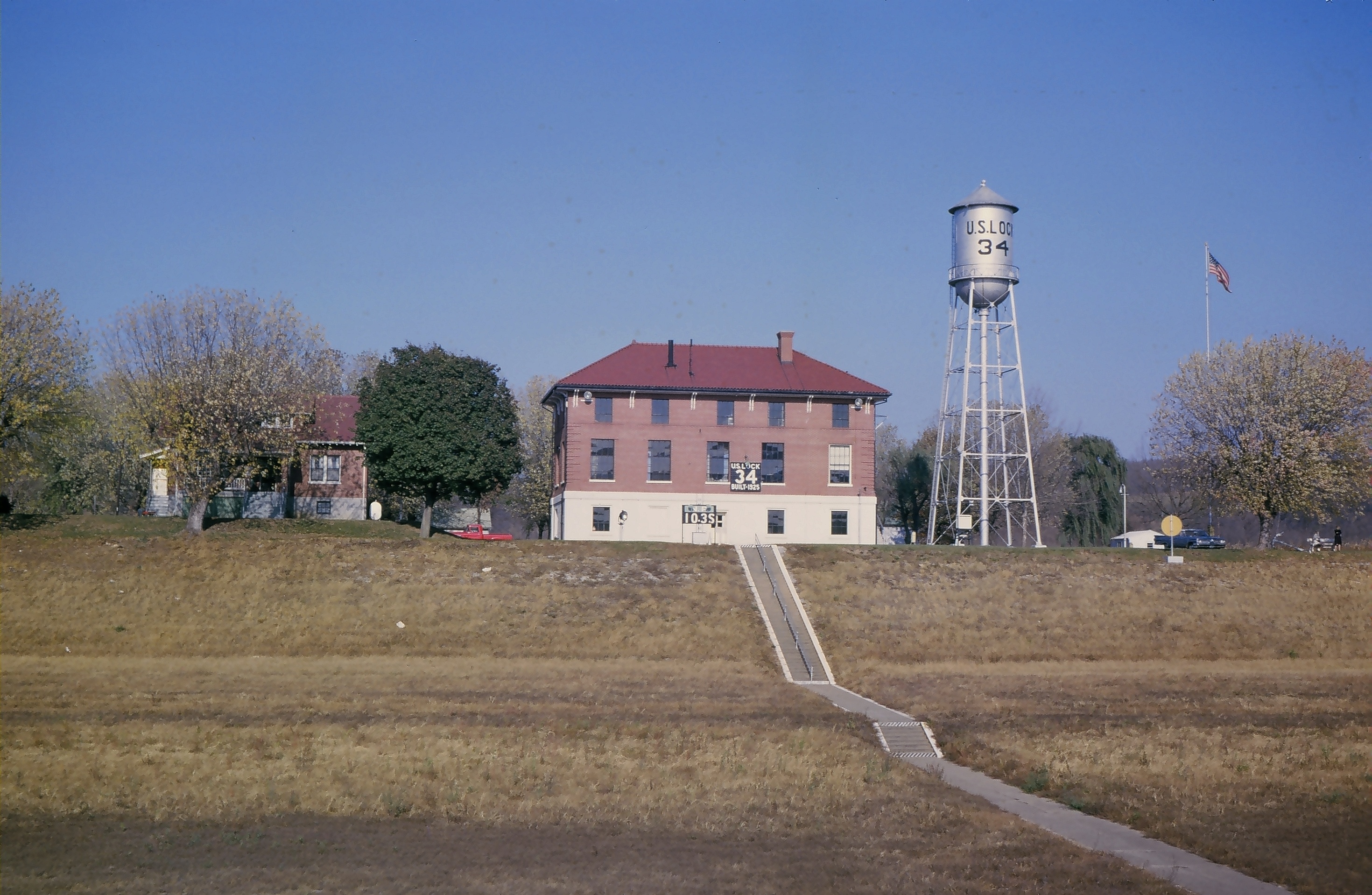
Lock and Dam #34

BALD EAGLE & 3 EAGLETS
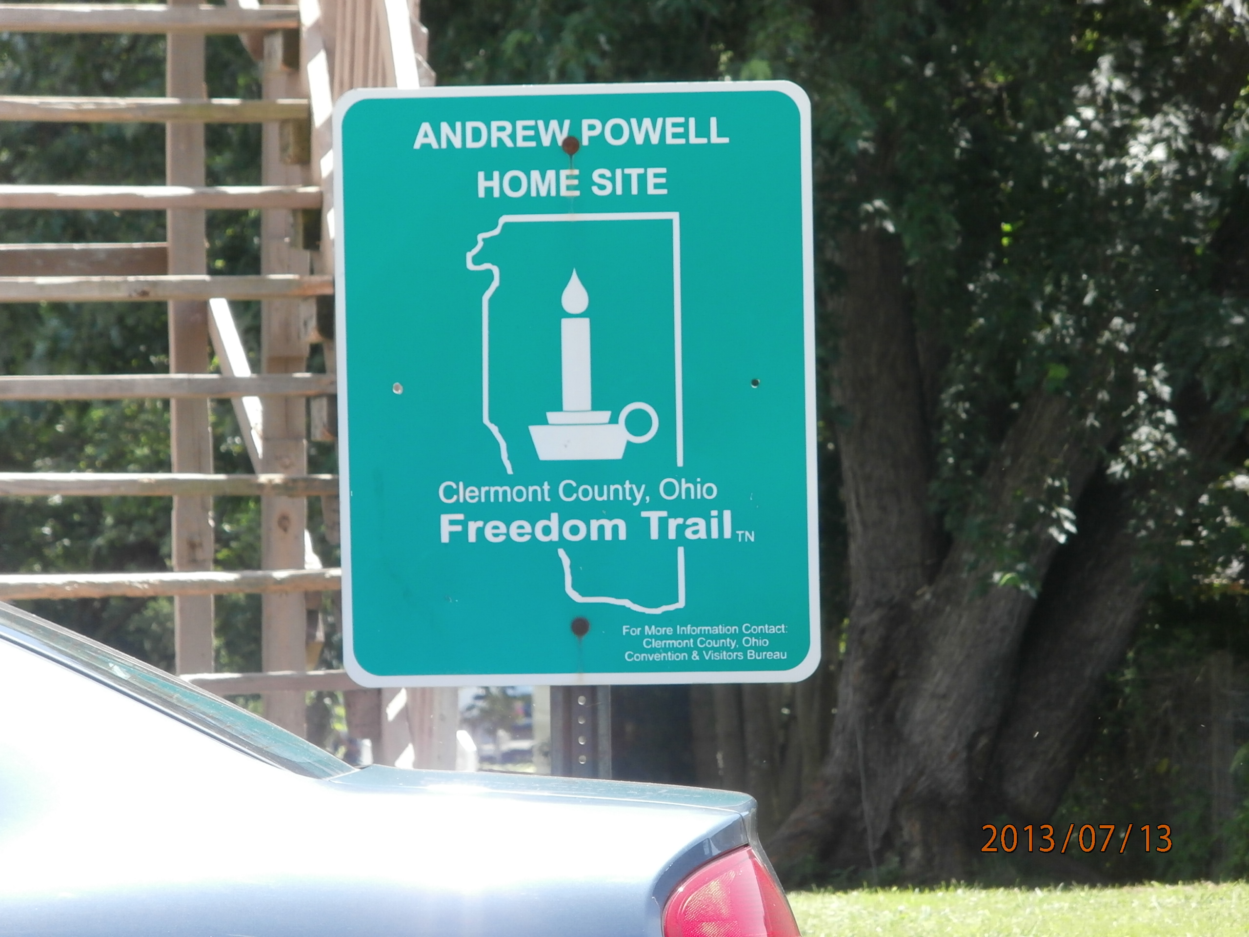
Andrew Powell Home Site

Felicity Cemetery

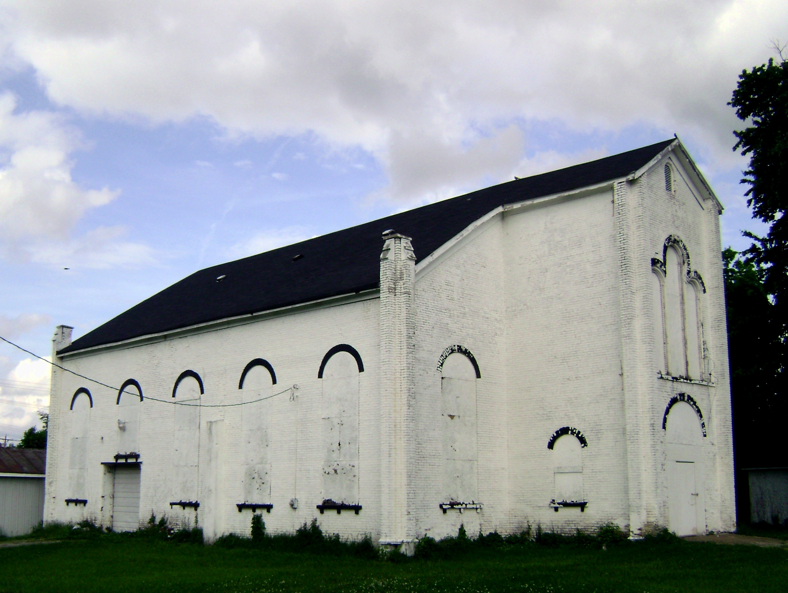
Felicity Wesleyan Church

Walcott bridge, vintage postcard view
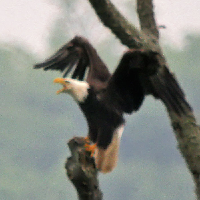
BALD EAGLE - MOBBED BY CROWS

BALD EAGLE
BALD EAGLE

AMERICAN BALD EAGLE at HIGGINSPORT, OH

Sunset and Contrail.
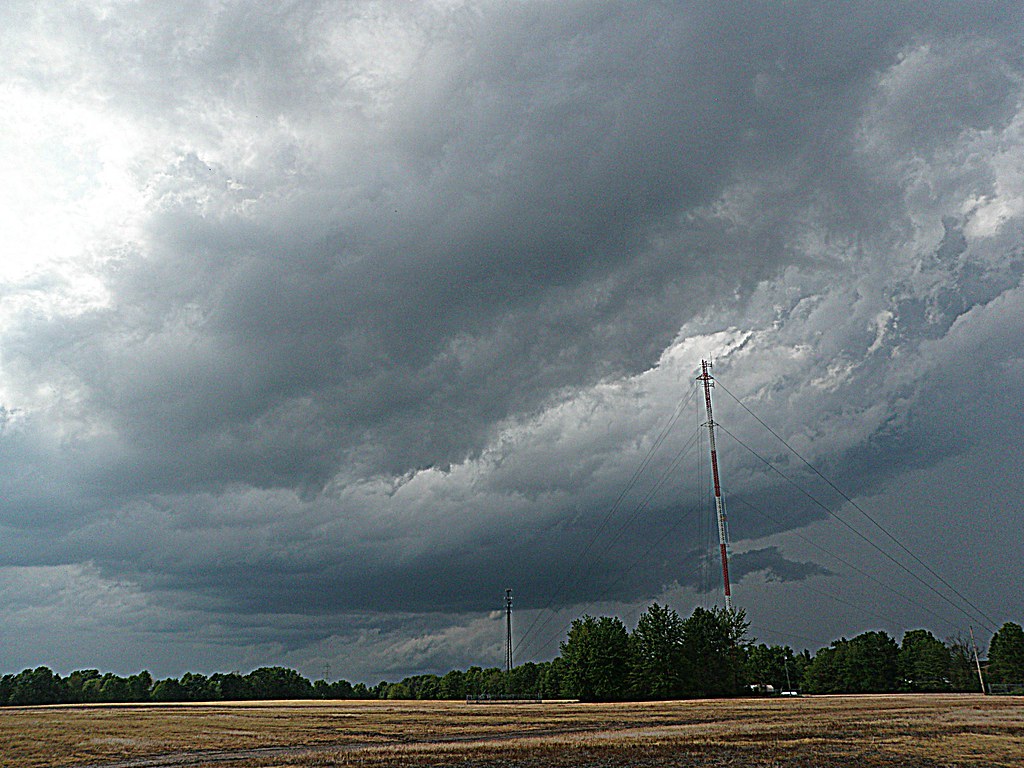
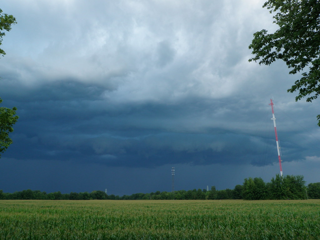
A Storm, Rolls In.

Falls.

Ante Meridiem Fog.
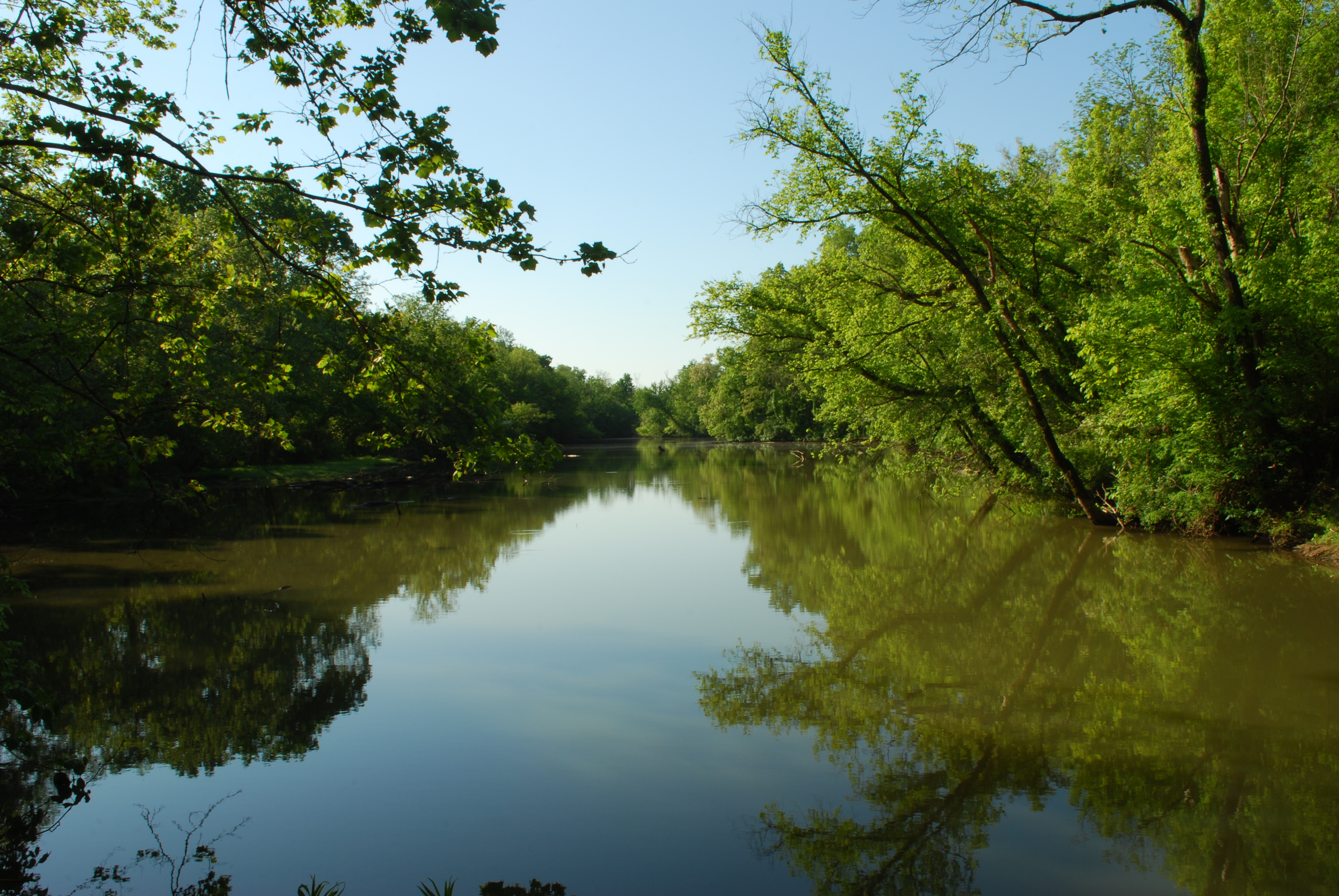
Crooked Run Estuary
Crooked Run Bird Blind 2
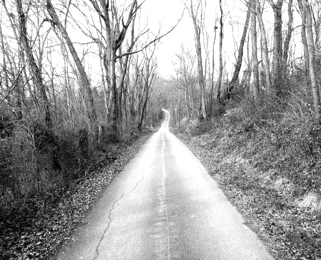
Country Road.

Before the rain.

"Barn and Sky". 7-14-2014, near Felicity, Ohio.

sunset 4913
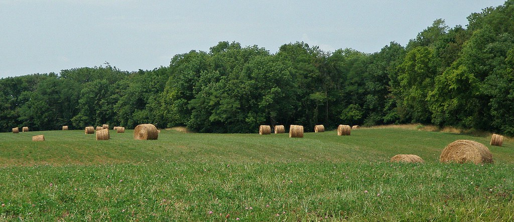
Country Field.

Bullskin Creek, Black and White HDR
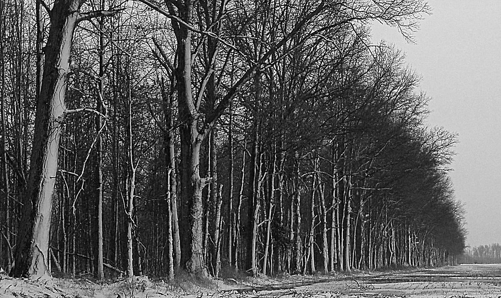
Tree Line, 3-7-2013

Sunset Flight.

Dusk 2

Sunrise, 3-21-2014. EXPLORE,3-23-2014.

Yellow, Blue, and Green.
Here it comes!

Fire-99
Topographic Map of Felicity Cedron Rural Rd, Georgetown, OH, USA
Find elevation by address:

Places near Felicity Cedron Rural Rd, Georgetown, OH, USA:
Franklin Township
71 Center St
212 W Ln Utopia
84 OH-, Felicity, OH, USA
N Market St, Felicity, OH, USA
Felicity
903 Main St
Salem Ridge Rd, Brooksville, KY, USA
Bracken County
Western Hills Rd, Foster, KY, USA
Brooksville
Miami St, Brooksville, KY, USA
Gibson Lane
Main St, Moscow, OH, USA
Foster
Willow Lenoxburg Rd, Brooksville, KY, USA
KY-10, Falmouth, KY, USA
KY-, Butler, KY, USA
KY-10, Butler, KY, USA
259 Falmouth Brooksville Rd
Recent Searches:
- Elevation of W Granada St, Tampa, FL, USA
- Elevation of Pykes Down, Ivybridge PL21 0BY, UK
- Elevation of Jalan Senandin, Lutong, Miri, Sarawak, Malaysia
- Elevation of Bilohirs'k
- Elevation of 30 Oak Lawn Dr, Barkhamsted, CT, USA
- Elevation of Luther Road, Luther Rd, Auburn, CA, USA
- Elevation of Unnamed Road, Respublika Severnaya Osetiya — Alaniya, Russia
- Elevation of Verkhny Fiagdon, North Ossetia–Alania Republic, Russia
- Elevation of F. Viola Hiway, San Rafael, Bulacan, Philippines
- Elevation of Herbage Dr, Gulfport, MS, USA