Elevation of Feesburg-Poetown Rd, Hamersville, OH, USA
Location: United States > Ohio > Brown County >
Longitude: -84.03553
Latitude: 38.903358
Elevation: 287m / 942feet
Barometric Pressure: 98KPa
Elevation Map:
Satellite Map:
Related Photos:

Raccoon GIF

Red-Necked Grebe

Red-Necked Grebe
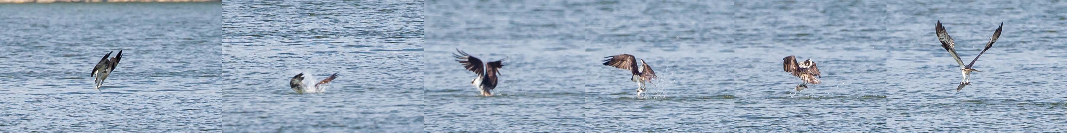
OSPREY DIVES FOR FISH

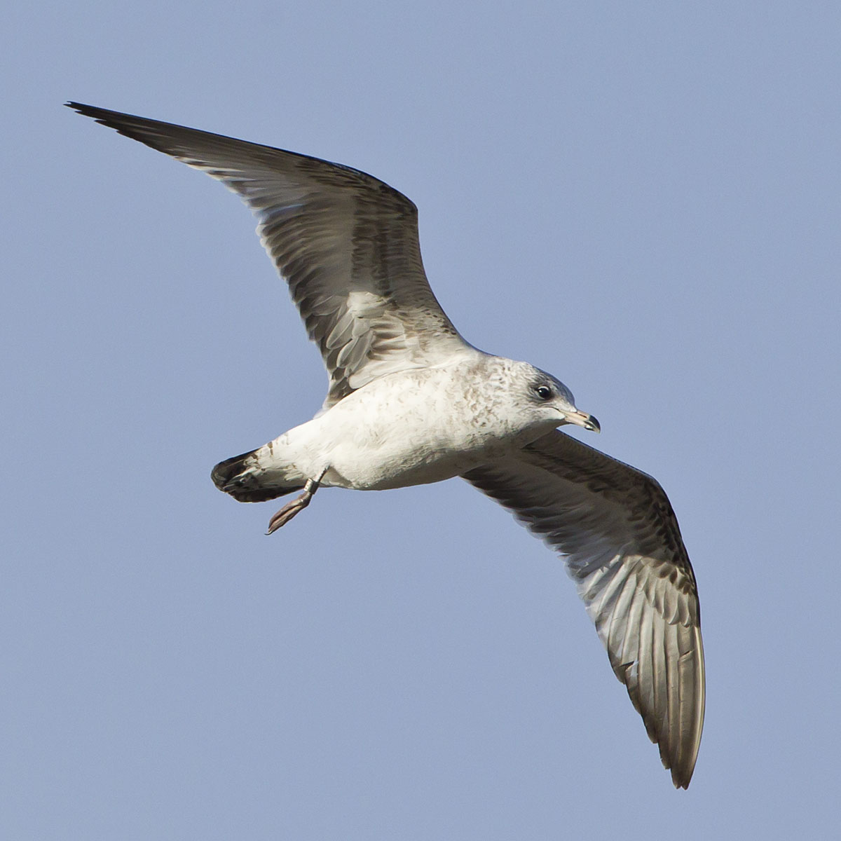
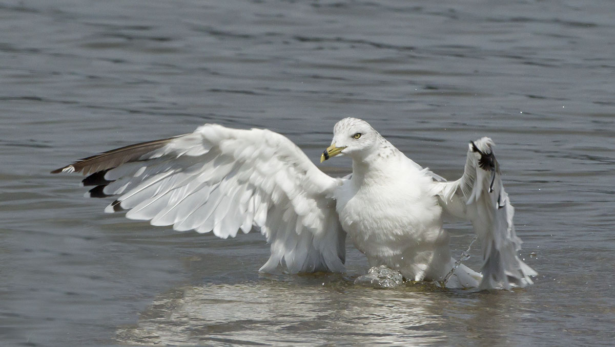
RING-BILLED GULL

Snow Bunting

Another walk to this great view [HDR]
Bantam, Ohio

SNOW GOOSE
RING-BILLED GULL - BANDED

PURPLE SANDPIPER at EAST FORK STATE PARK, BANTAM, OHIO OCTOBER 26, 2013

CASPIAN TERN
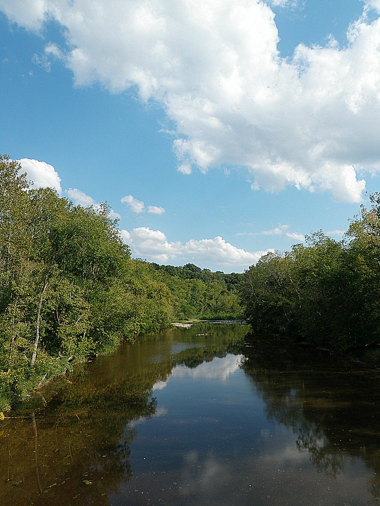
Crooked Run Estuary

Ohio River from Crooked Run

Crooked Run Meadow
White Oak Valley.
Felicity, Ohio
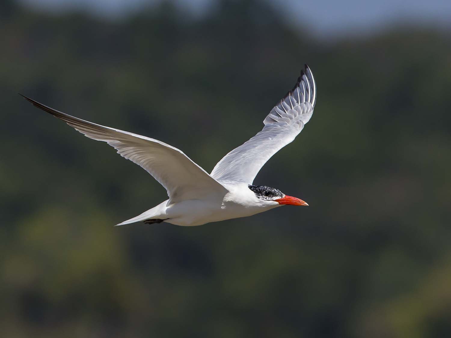
CASPIAN TERN
AMERICAN BALD EAGLES - 2 ADULTS
RING-BILLED GULL

SAVANNAH SPARROW
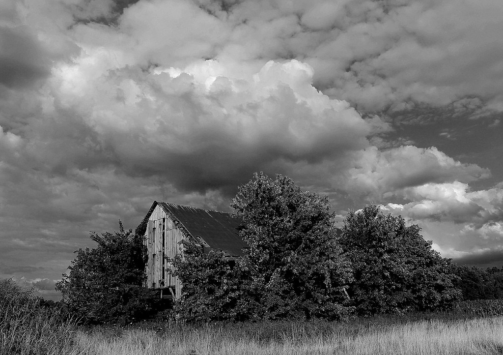
"Barn and Sky". 7-14-2014, near Felicity, Ohio.
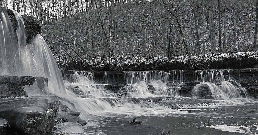
Bullskin Creek, Black and White HDR
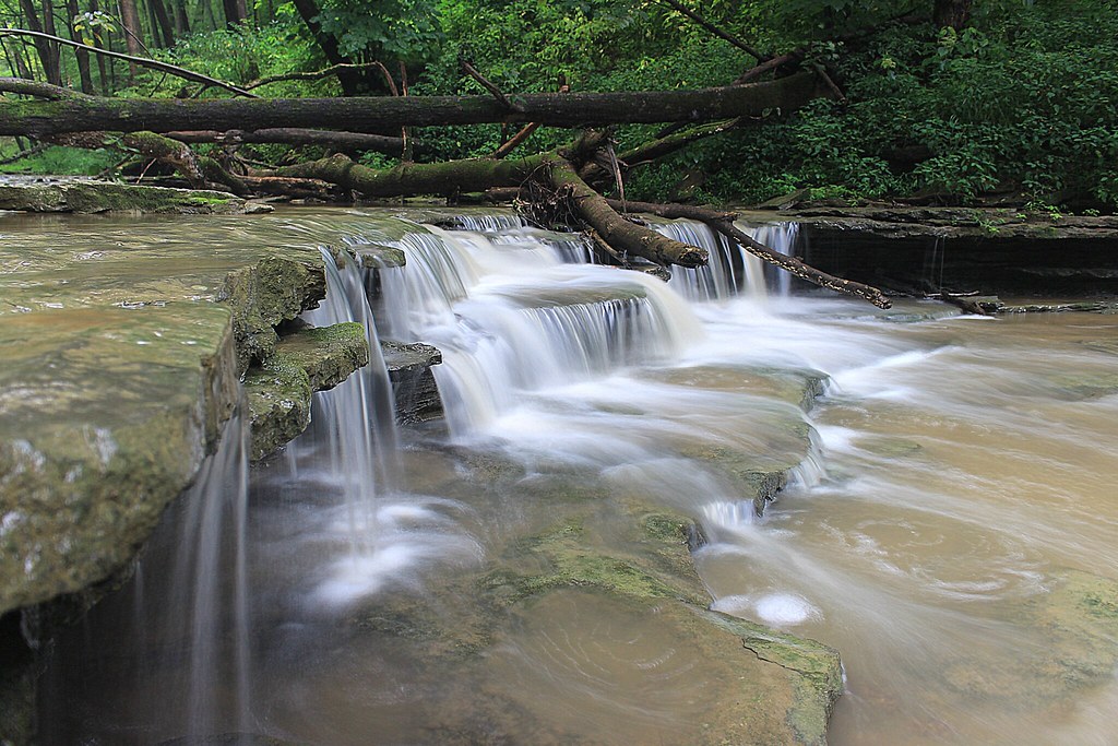
8-22-14, Ulrey Run. EXPLORE 11-16-2014

Sunrise Over East Fork Lake.

First official RAW photos.
DSC_0079.jpg

First official RAW photos.
Here it comes!

First official RAW photos.

EAST FORK STATE PARK

East Fork State Park - Ohio
Crooked Run Estuary
sunset 4913
Country Field.
Sunset Flight.

Fire-99
Tree Line, 3-7-2013

Waiting for Death, Down on the Farm.

Yellow, Blue, and Green.

Dusk 2
Topographic Map of Feesburg-Poetown Rd, Hamersville, OH, USA
Find elevation by address:

Places near Feesburg-Poetown Rd, Hamersville, OH, USA:
1975 Oh-133
Tate Township
OH-, Bethel, OH, USA
OH-, Bethel, OH, USA
Bethel Cemetery
Bethel
Bees Run Rd, Moscow, OH, USA
Musgrove Rd, Williamsburg, OH, USA
Bethel, OH, USA
Washington Township
OH-, New Richmond, OH, USA
Monroe Township
2056 Big Indian Rd
2058 Big Indian Rd
2048 Big Indian Rd
1659 Oh-232
1915 W Hall Rd
1739 Us-52
Point Pleasant Cemetery
OH-, New Richmond, OH, USA
Recent Searches:
- Elevation of Hercules Dr, Colorado Springs, CO, USA
- Elevation of Szlak pieszy czarny, Poland
- Elevation of Griffing Blvd, Biscayne Park, FL, USA
- Elevation of Kreuzburger Weg 13, Düsseldorf, Germany
- Elevation of Gateway Blvd SE, Canton, OH, USA
- Elevation of East W.T. Harris Boulevard, E W.T. Harris Blvd, Charlotte, NC, USA
- Elevation of West Sugar Creek, Charlotte, NC, USA
- Elevation of Wayland, NY, USA
- Elevation of Steadfast Ct, Daphne, AL, USA
- Elevation of Lagasgasan, X+CQH, Tiaong, Quezon, Philippines