Elevation of Feakle, Co. Clare, Ireland
Location: Ireland > Clare > Clare >
Longitude: -8.6486521
Latitude: 52.9260682
Elevation: 88m / 289feet
Barometric Pressure: 100KPa
Elevation Map:
Satellite Map:
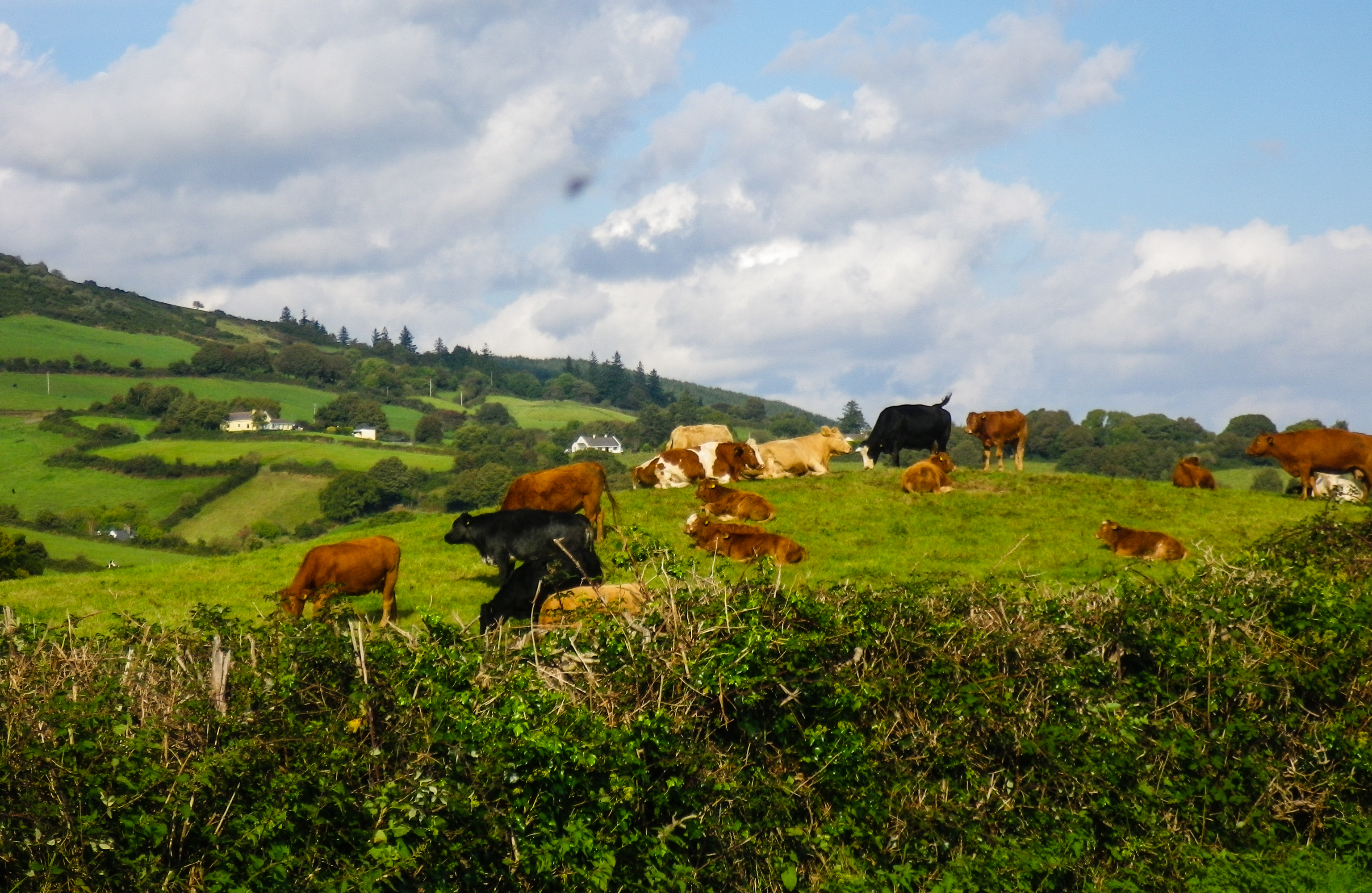
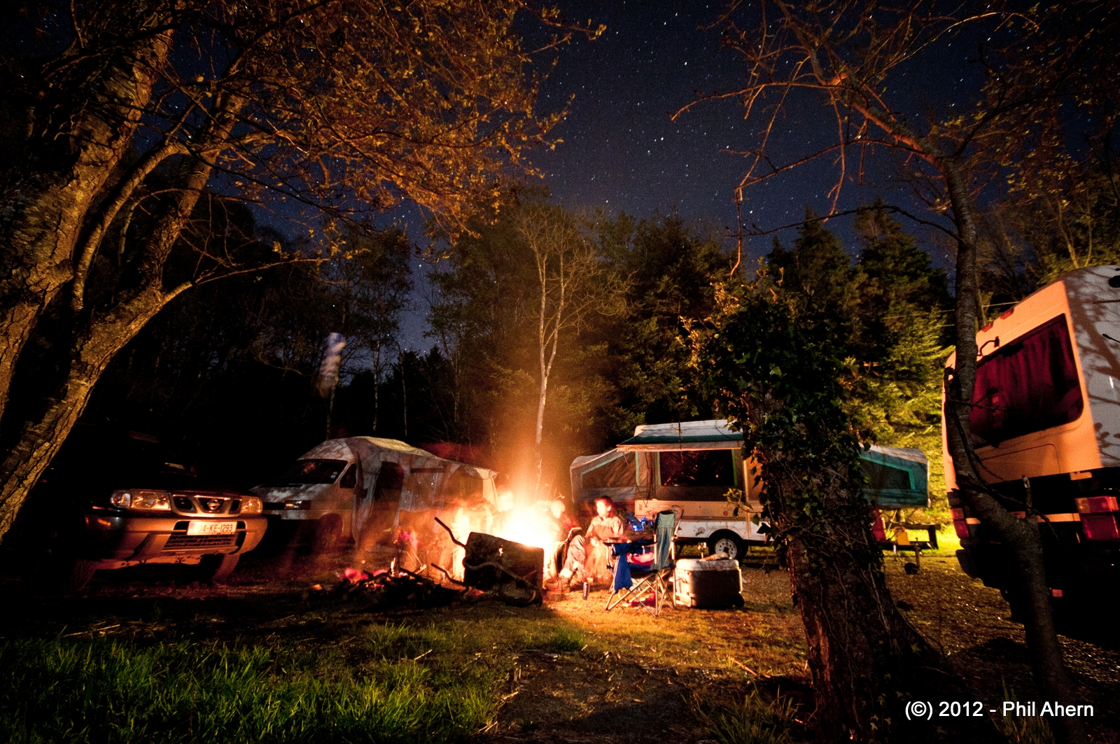
Related Photos:

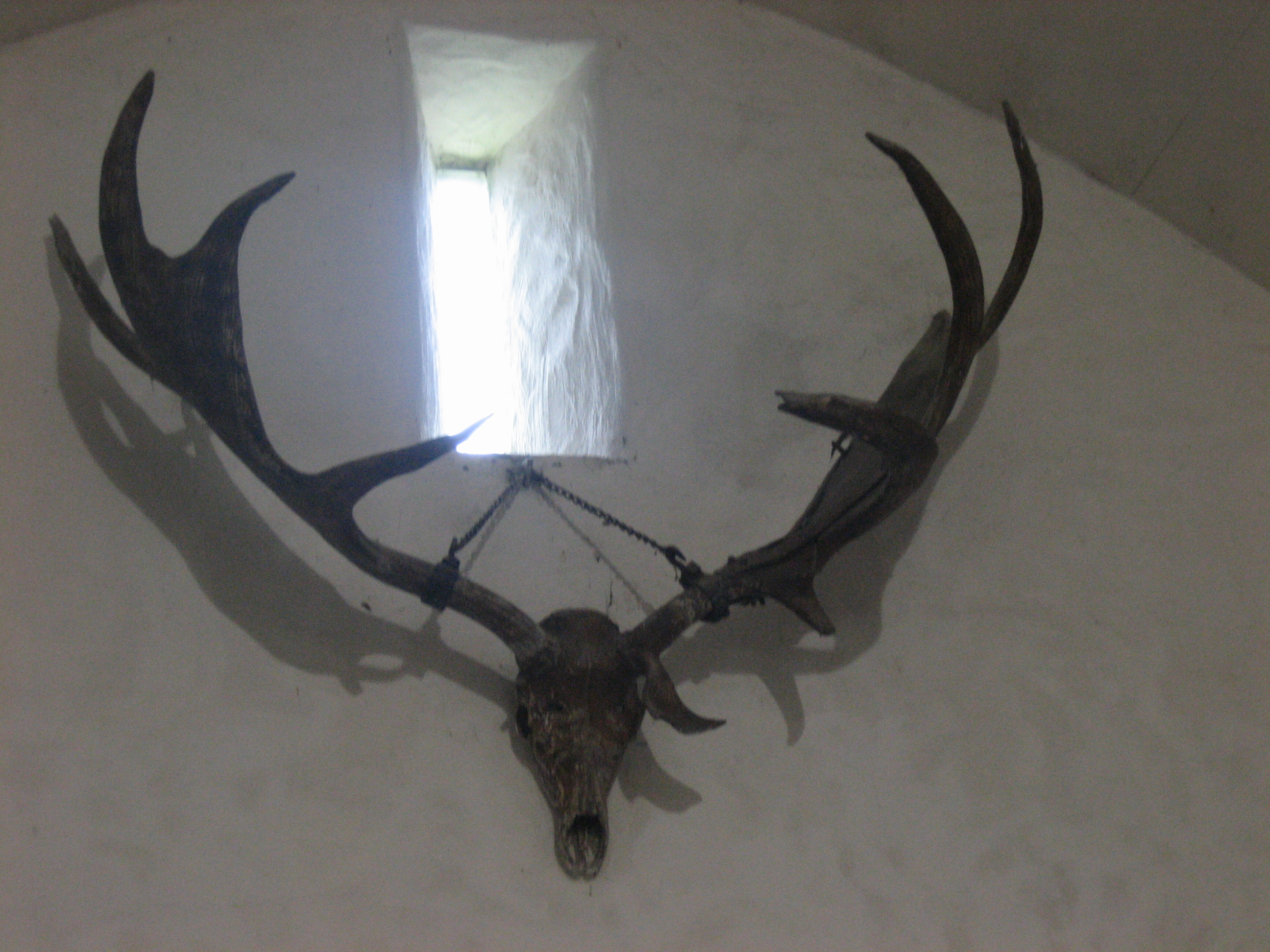
Gothic revival castle
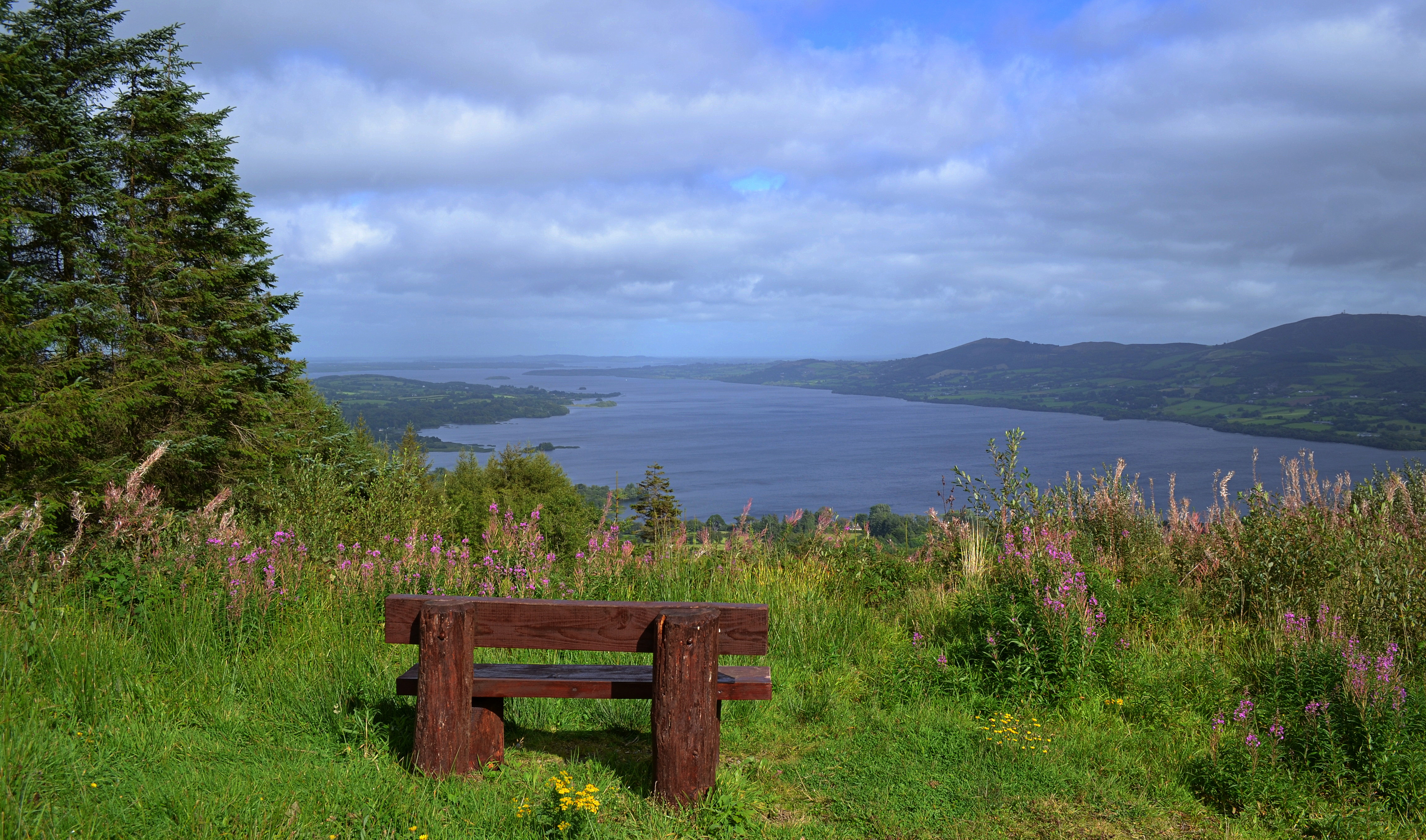
Seat with a View

Craggaunowen Kasteel

Craggaunowen Kasteel

Lough Cutra Castle
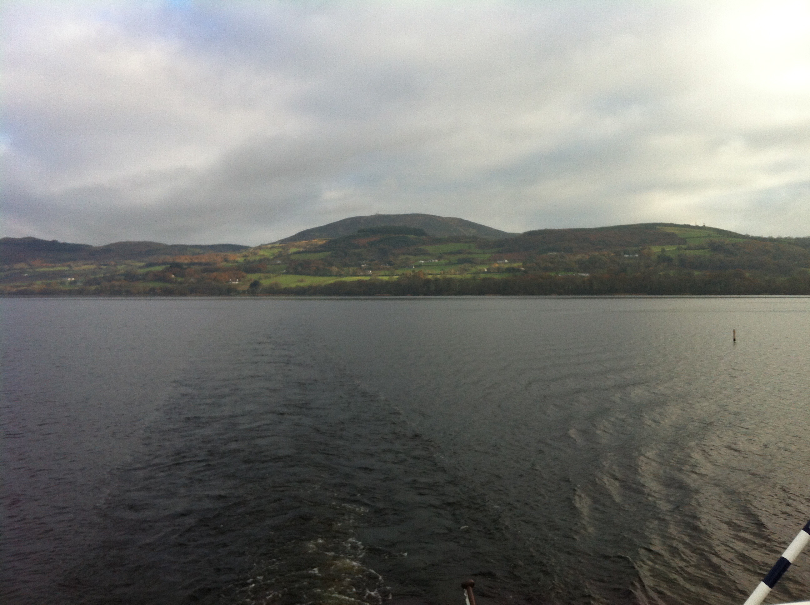
Lough Derg boat trip
Craggaunowen Kasteel
Craggaunowen Kasteel

Craggaunowen Kasteel
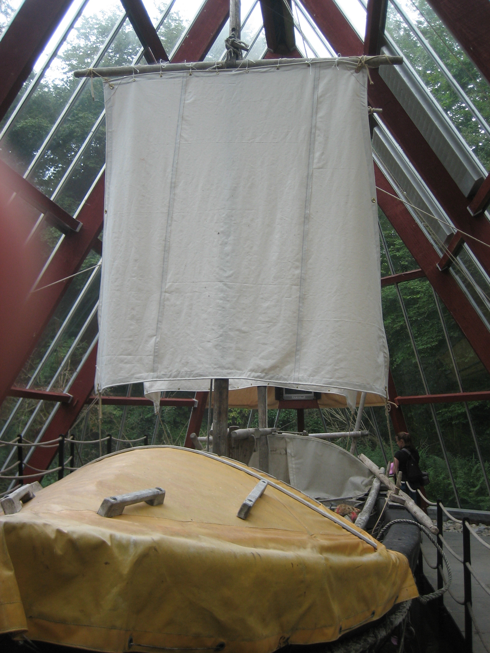
Craggaunowen - The Brendan

Lough Cutra Castle
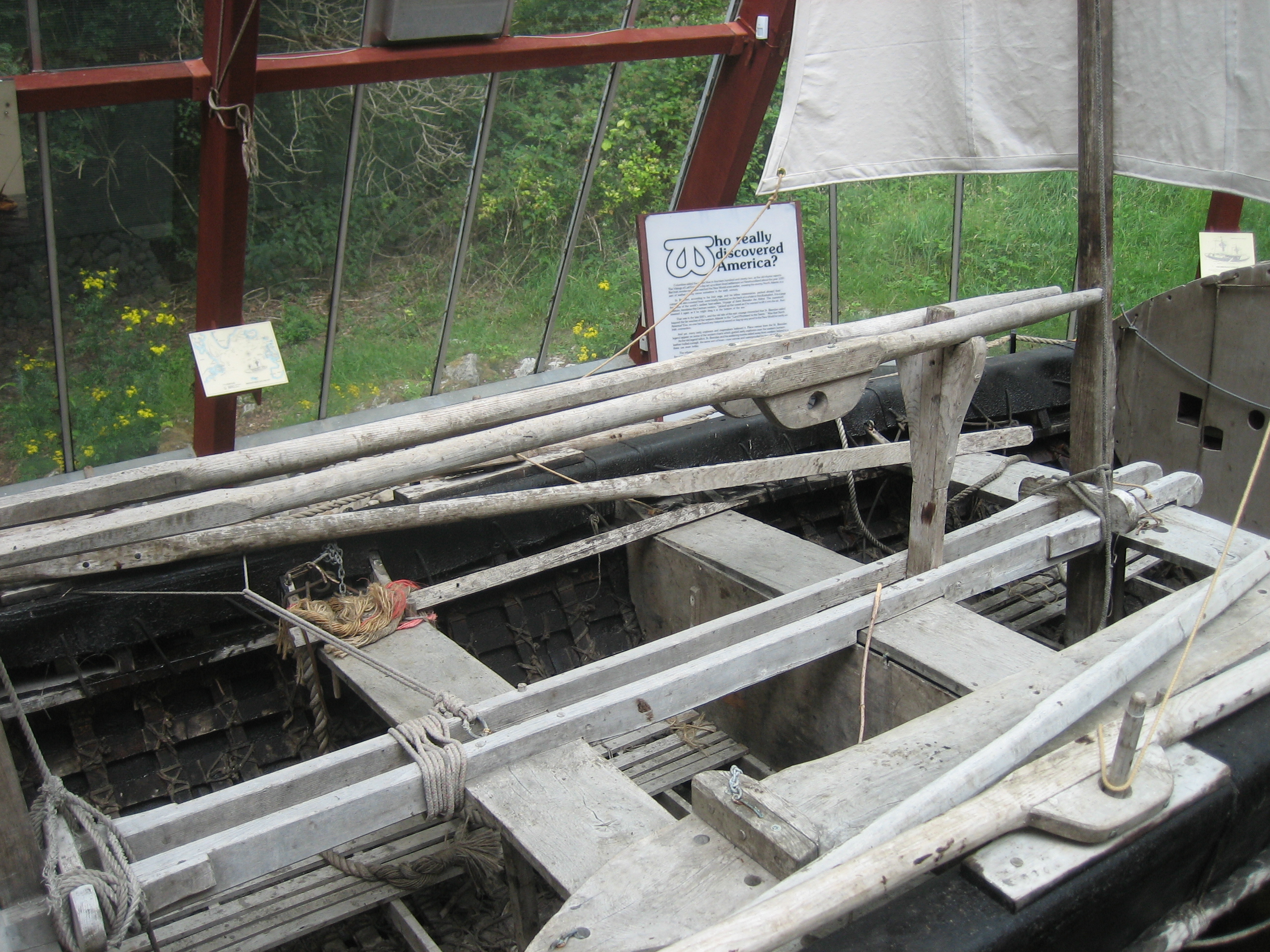
Craggaunowen - The Brendan

Craggaunowen Kasteel
Craggaunowen Kasteel
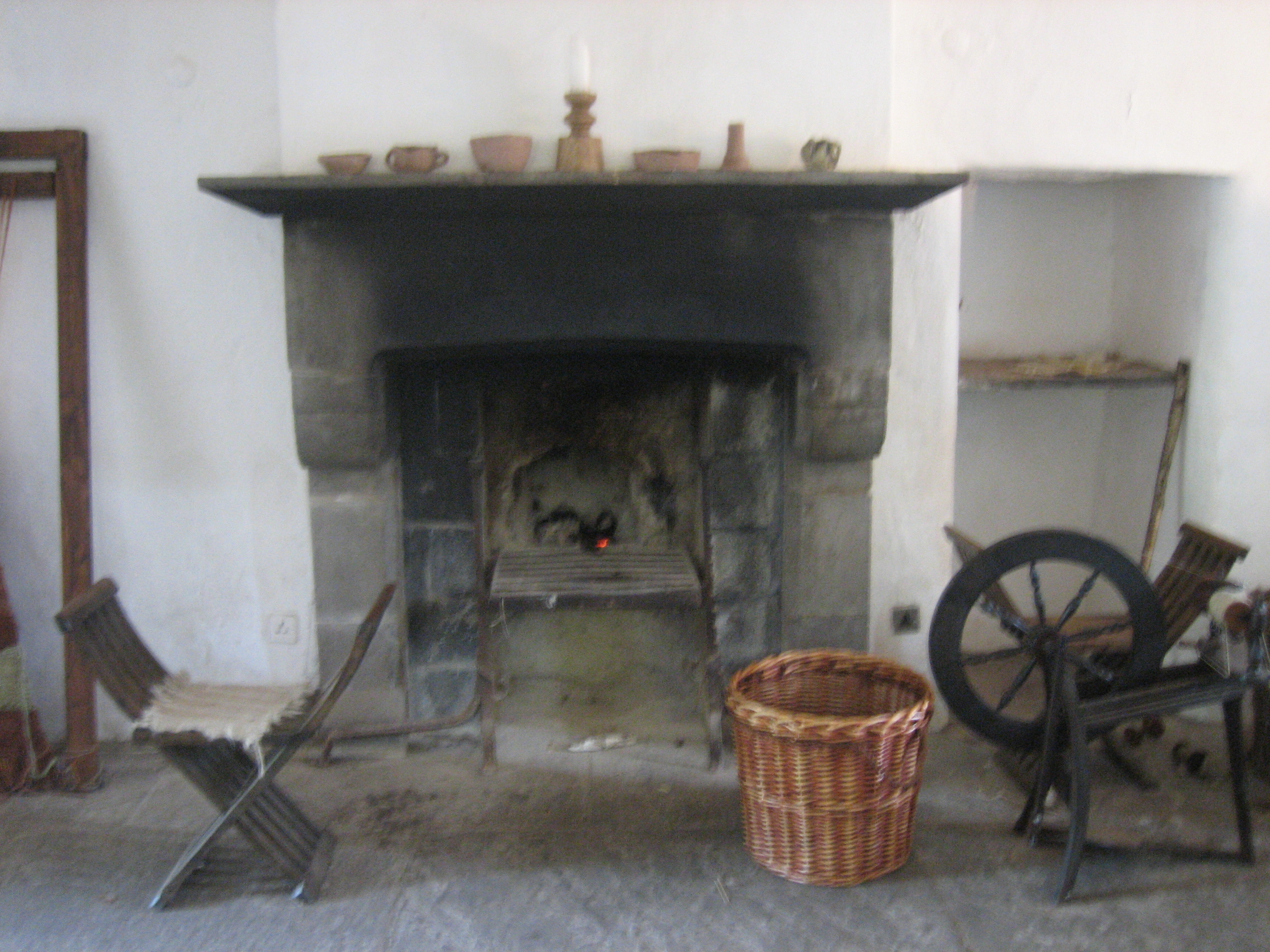
Craggaunowen Kasteel
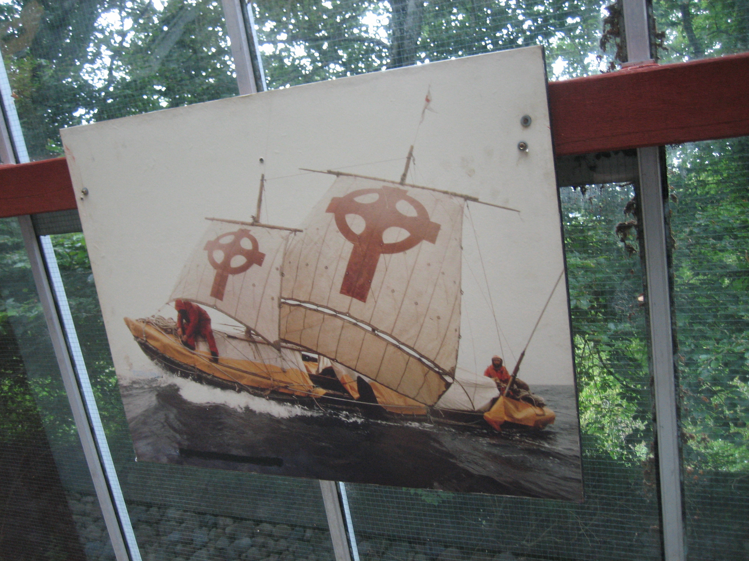
Craggaunowen - The Brendan
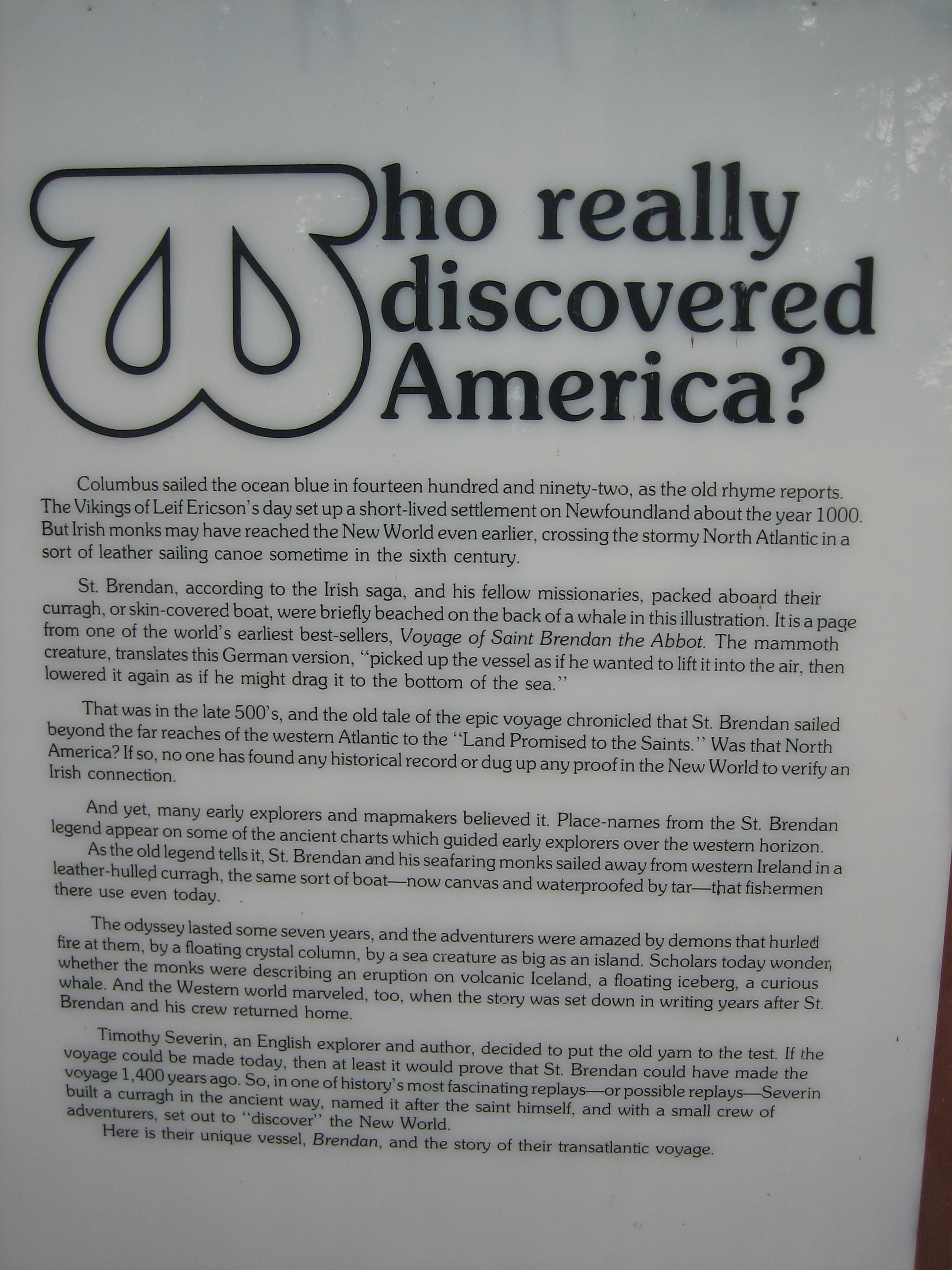
Craggaunowen - The Brendan
Craggaunowen Kasteel

Craggaunowen Kasteel
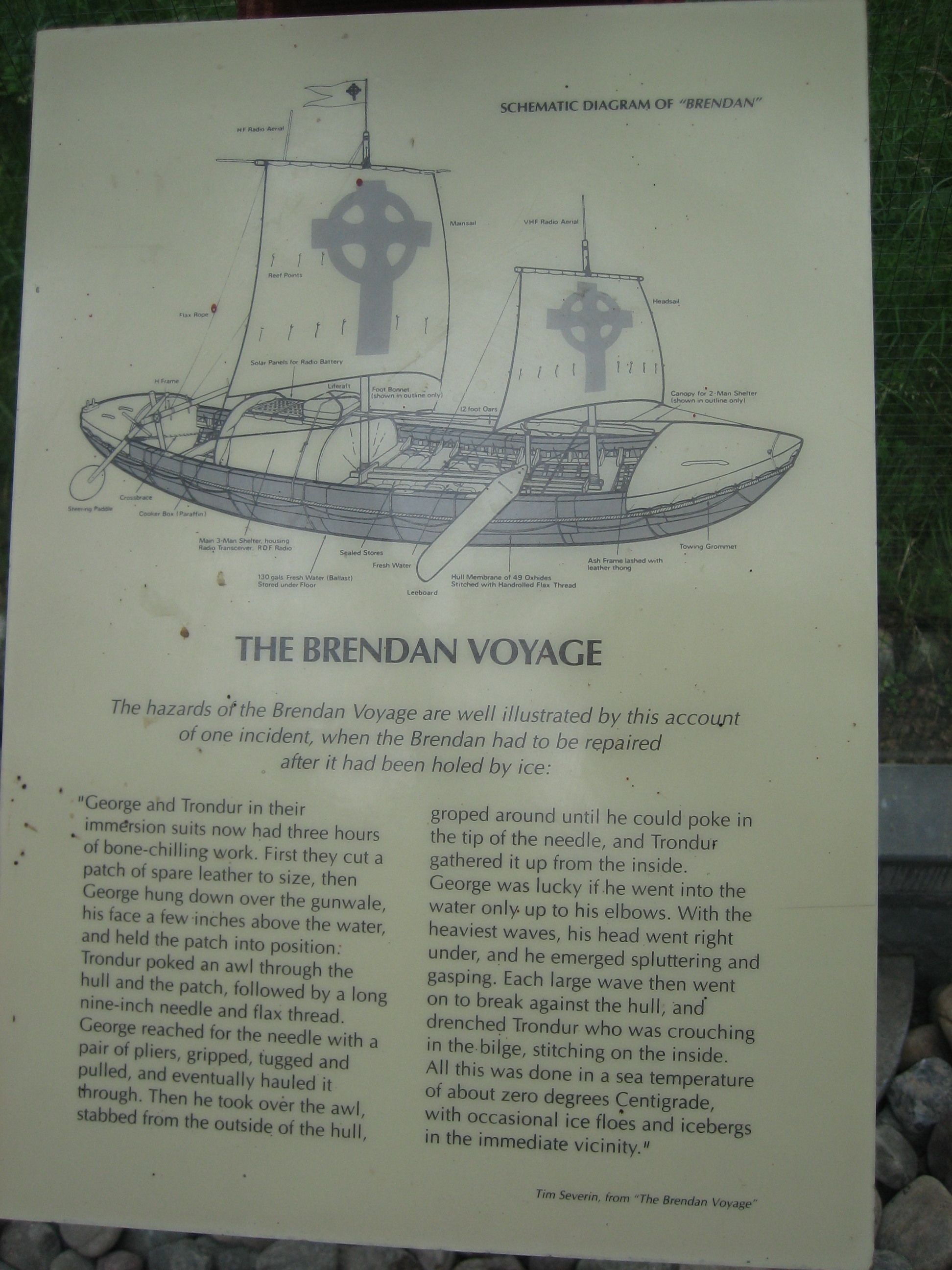
Craggaunowen - The Brendan
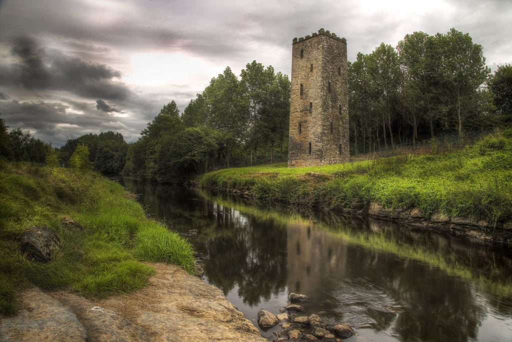
river and tower
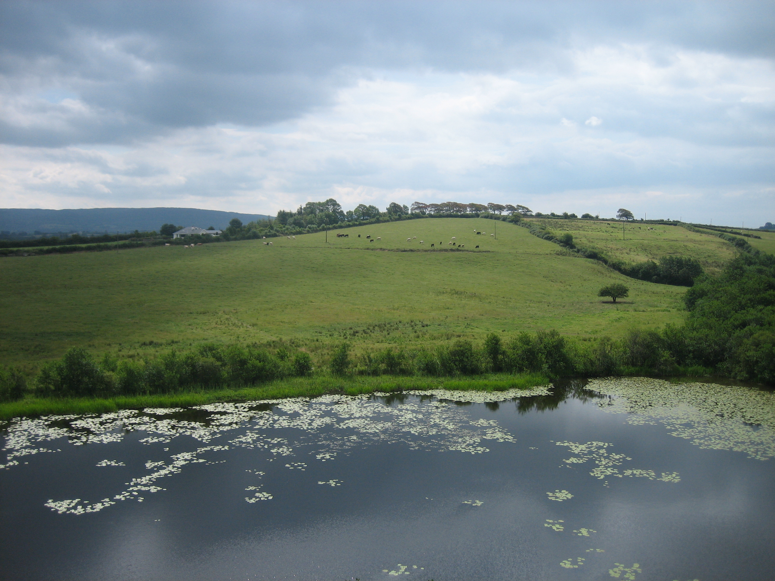
The windswept hill
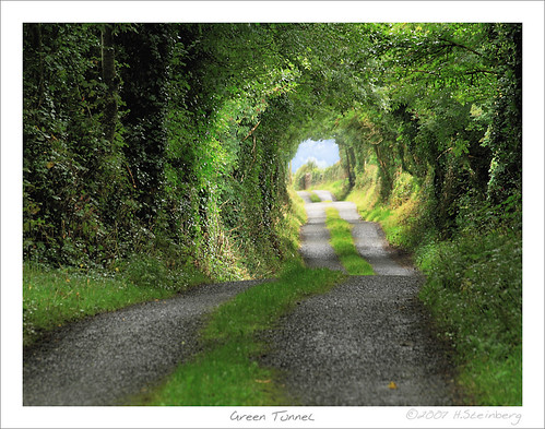
Green Tunnel or 'The Road to Hobbiton'
04-Home
01-Home
Holy Island pictured from Young Island

Panorama of Holy Island, Lough Derg, Mountshannon, county Clare
20140413_3S25572-11
IMG_0546.jpg

P8156281.jpg
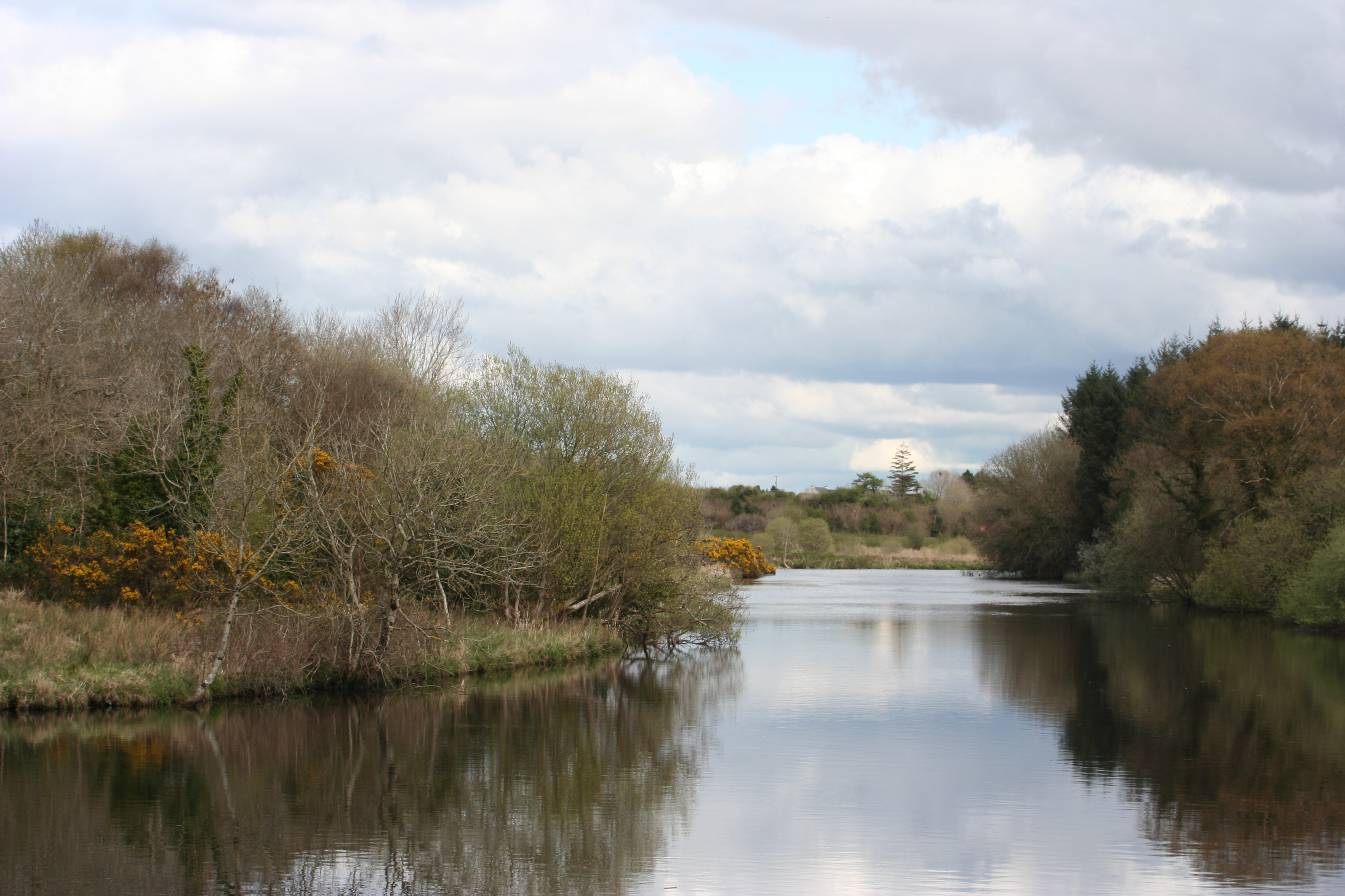
Scarriff River
20141008-IMGP4225.jpg

20141009-Tommy Killian_20141009_007.jpg
20141008-IMGP4219.jpg

Europcar Brian Boru Triathlon-0945
Doesn't get better than this.

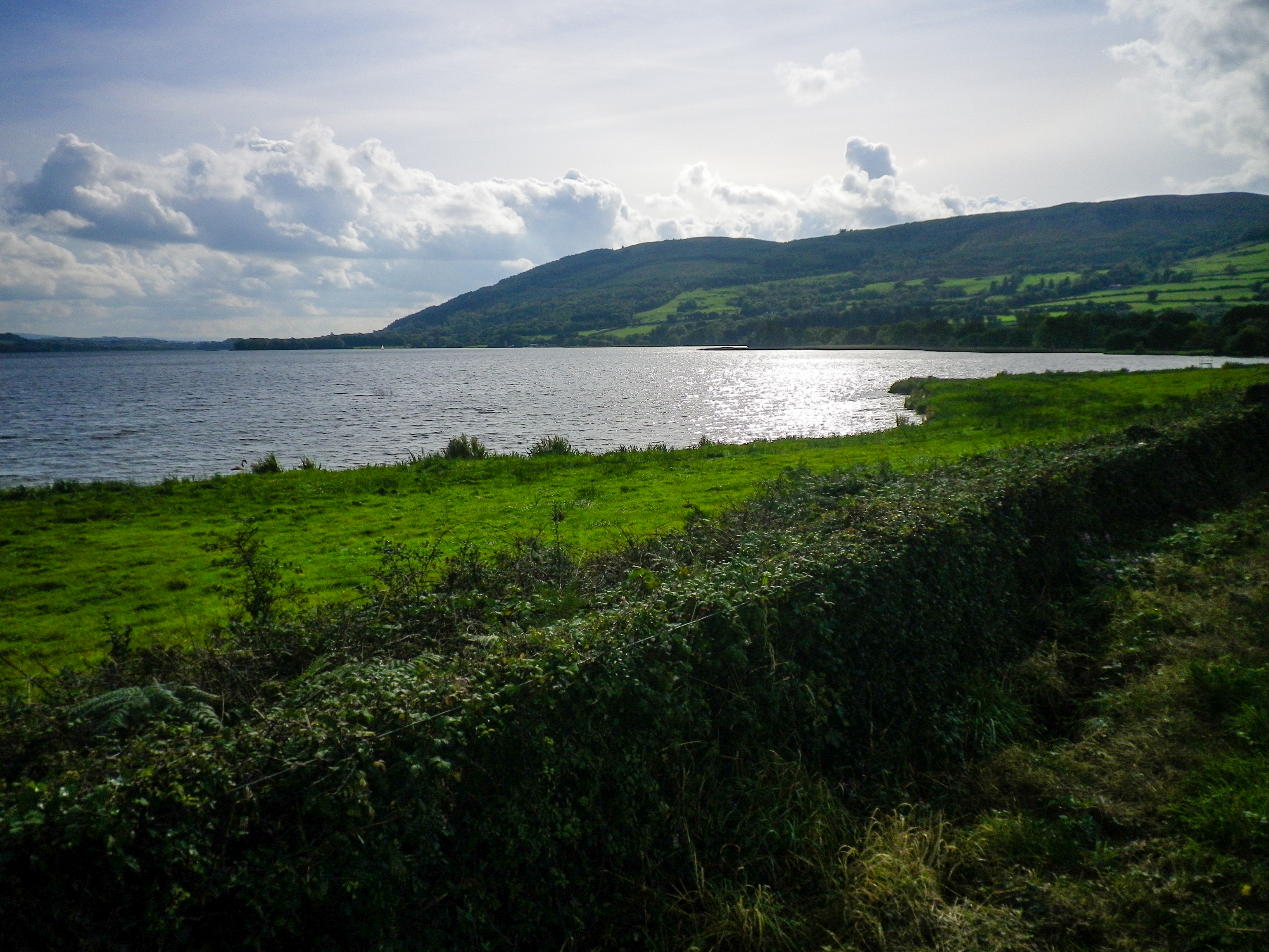
Mountshannon Harbour

Scarriff River
20150702-IMG_1338
20141009-Tommy Killian_20141009_014.jpg
Topographic Map of Feakle, Co. Clare, Ireland
Find elevation by address:

Places in Feakle, Co. Clare, Ireland:
Places near Feakle, Co. Clare, Ireland:
Feakle Post Office
Feakle East
Feakle
Gurrane
Gortavrulla
Scarriff
Kilduff Upper
Knockjames Catholic Church
Derryulk Lower
Knockjames
Ahaclare
V94 V2hf
Maghera
Ogonnelloe
V94 Tde6
Carrowcore
Kilmurry
Gort Garda Station
Sixmilebridge
Creevagh More
Recent Searches:
- Elevation of Corso Fratelli Cairoli, 35, Macerata MC, Italy
- Elevation of Tallevast Rd, Sarasota, FL, USA
- Elevation of 4th St E, Sonoma, CA, USA
- Elevation of Black Hollow Rd, Pennsdale, PA, USA
- Elevation of Oakland Ave, Williamsport, PA, USA
- Elevation of Pedrógão Grande, Portugal
- Elevation of Klee Dr, Martinsburg, WV, USA
- Elevation of Via Roma, Pieranica CR, Italy
- Elevation of Tavkvetili Mountain, Georgia
- Elevation of Hartfords Bluff Cir, Mt Pleasant, SC, USA