Elevation of Fay, OK, USA
Location: United States > Oklahoma > Dewey County >
Longitude: -98.657859
Latitude: 35.8133797
Elevation: 519m / 1703feet
Barometric Pressure: 95KPa
Elevation Map:
Satellite Map:
Related Photos:
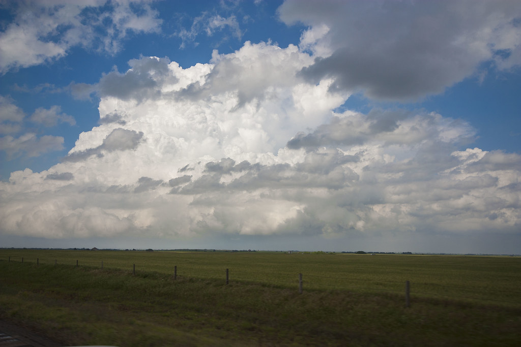
Watonga Supercell

Aerial Winter Topographic

Scene from last night star shoot in western Oklahoma. @jimfelder @beyondtherainbow #star #photography
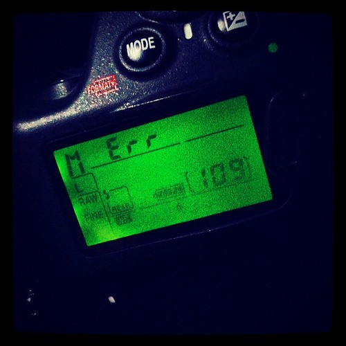
Never a good sign specially during star photo session. #nikon #err

Post Office 73669 (Thomas, Oklahoma)
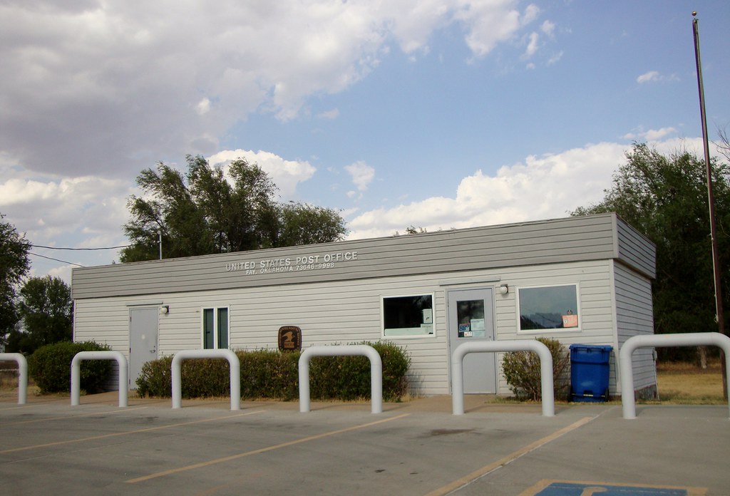
Post Office 73646 (Fay, Oklahoma)

Post Office 73658 (Oakwood, Oklahoma)

The Tragic Bus

Buffalo Fire Department
Topographic Map of Fay, OK, USA
Find elevation by address:

Places in Fay, OK, USA:
Places near Fay, OK, USA:
1st Ave, Fay, OK, USA
Thomas
N Rd, Custer City, OK, USA
Canton
Hydro
Southwestern Oklahoma State University
Weatherford
Custer County
Putnam
Prairie View Cemetery
Dewey County
710 E Noble Ave
Taloga
N 5th St, Clinton, OK, USA
Seiling
Clinton
County Road
Chester
Fairview
Eakly
Recent Searches:
- Elevation of Corso Fratelli Cairoli, 35, Macerata MC, Italy
- Elevation of Tallevast Rd, Sarasota, FL, USA
- Elevation of 4th St E, Sonoma, CA, USA
- Elevation of Black Hollow Rd, Pennsdale, PA, USA
- Elevation of Oakland Ave, Williamsport, PA, USA
- Elevation of Pedrógão Grande, Portugal
- Elevation of Klee Dr, Martinsburg, WV, USA
- Elevation of Via Roma, Pieranica CR, Italy
- Elevation of Tavkvetili Mountain, Georgia
- Elevation of Hartfords Bluff Cir, Mt Pleasant, SC, USA