Elevation of Farmington Township, IL, USA
Location: United States > Illinois > Fulton County >
Longitude: -90.055993
Latitude: 40.6549752
Elevation: 236m / 774feet
Barometric Pressure: 99KPa
Elevation Map:
Satellite Map:
Related Photos:

The little HyVee fox
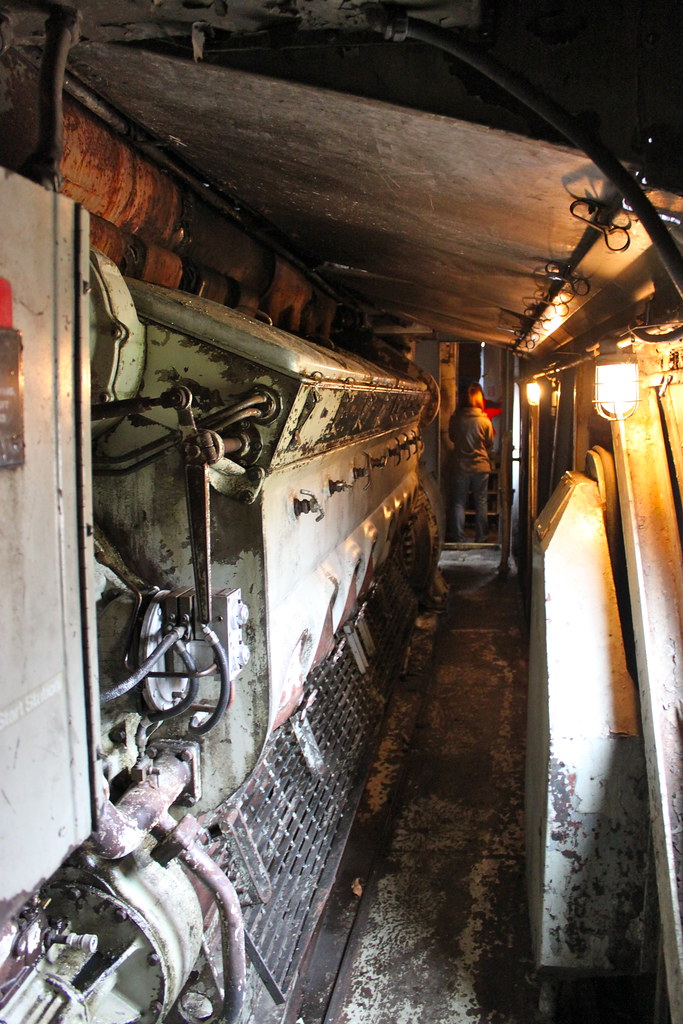
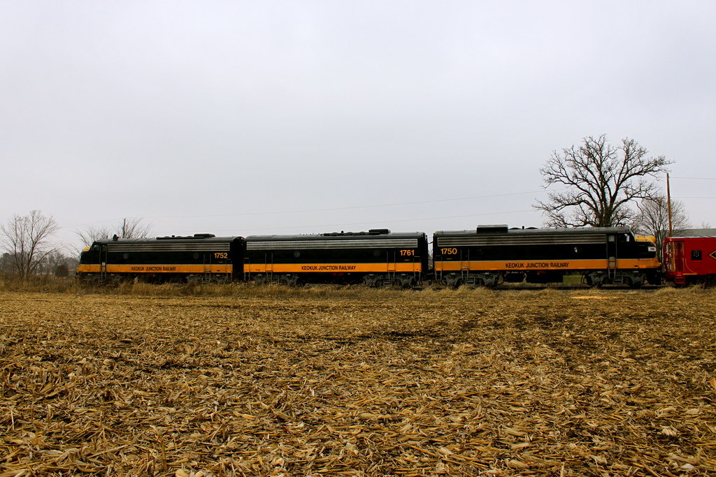
The 567 Prime Mover
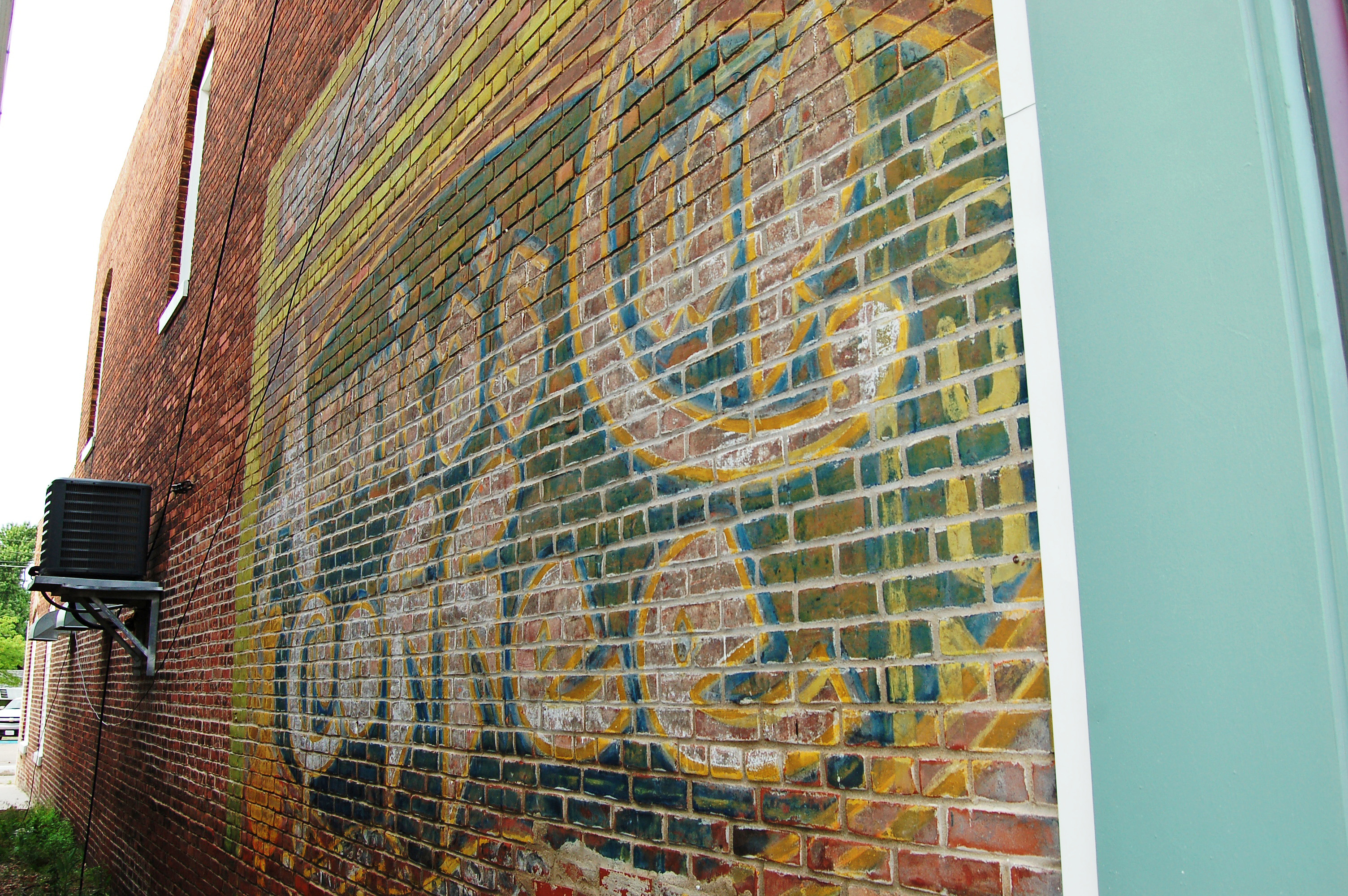
Illinois, Elmwood, America's Cup Coffee (15,832)
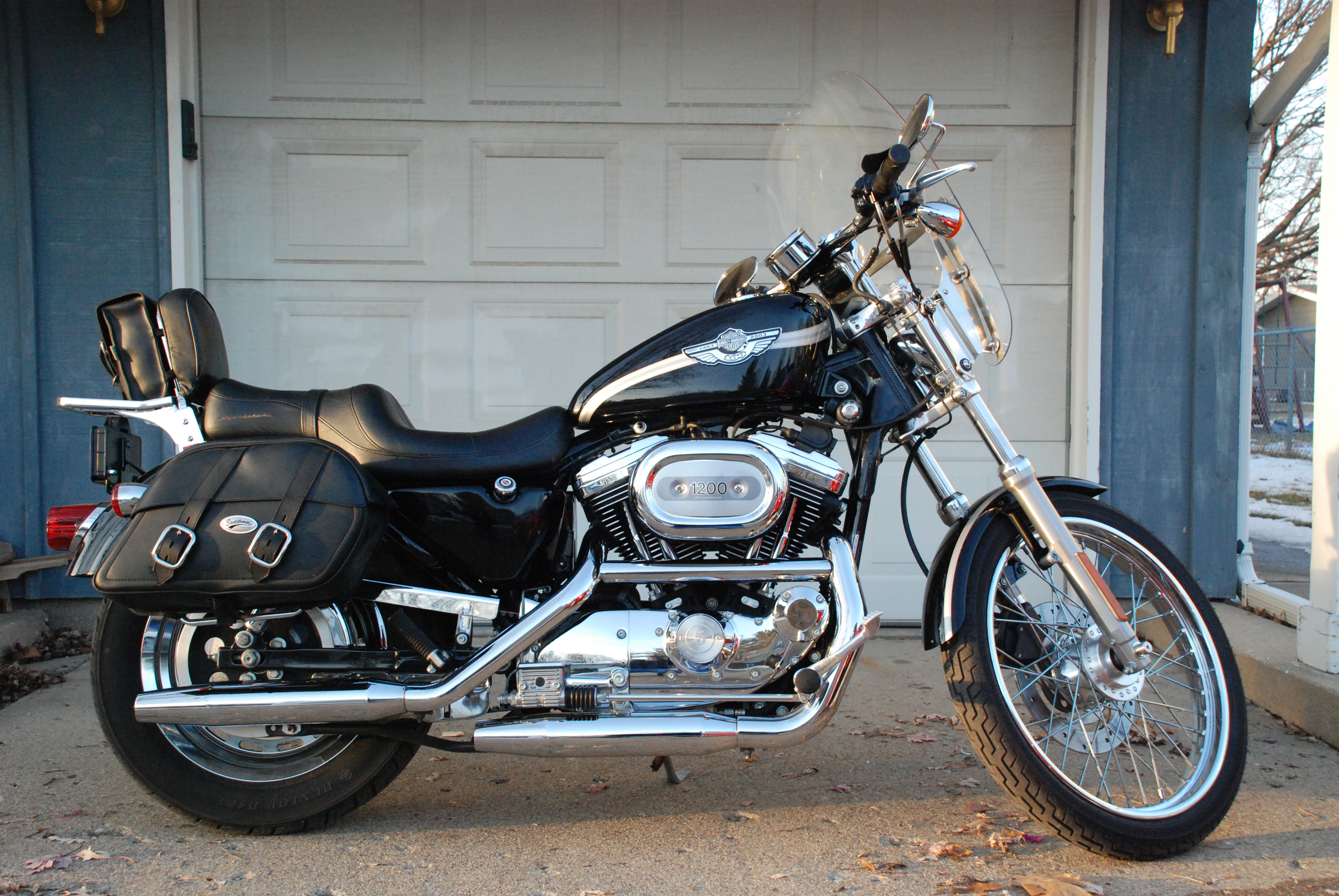
2003 Sportster

Blues and Snows 03122013
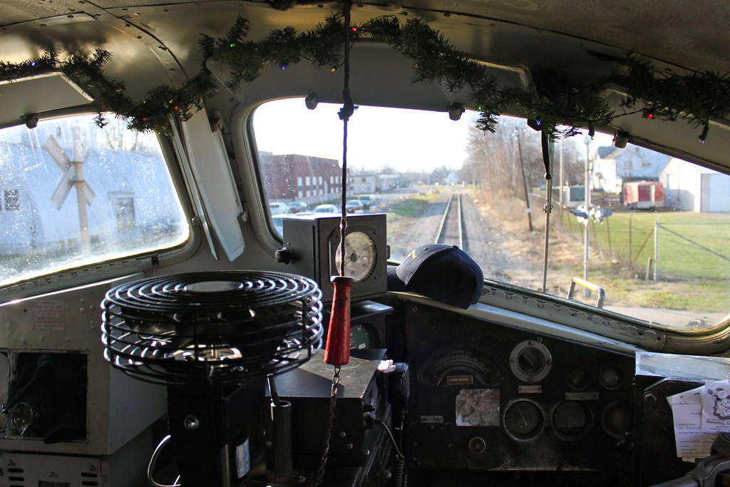
Up in the Cab

Title Slide
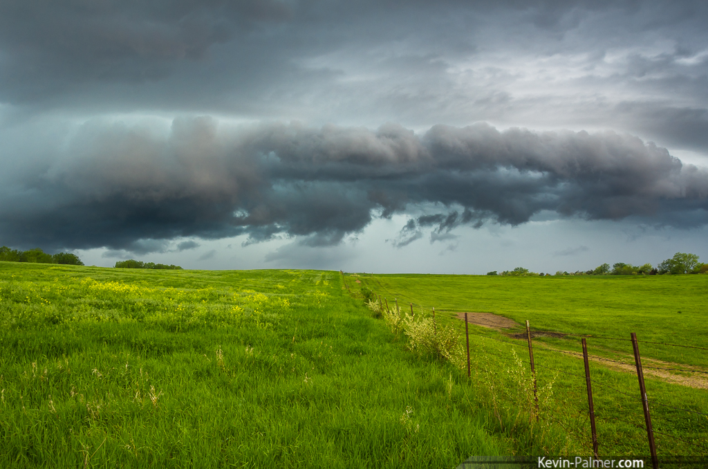
Green Rumble
Precipitation Core

Lonely Short-eared Owl
ABA Profile
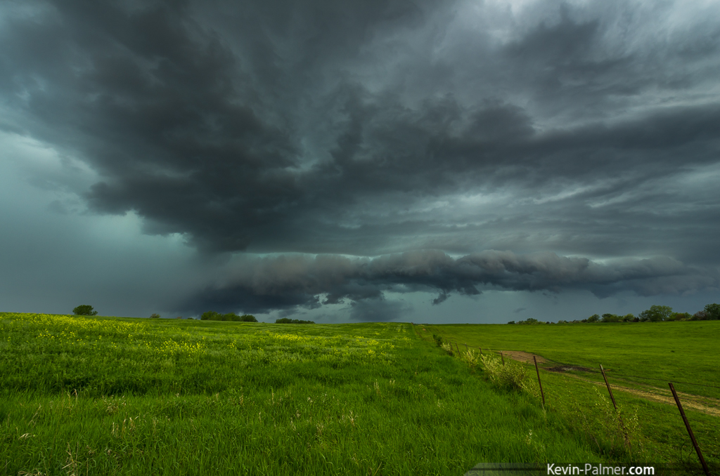
Yates City Shelf
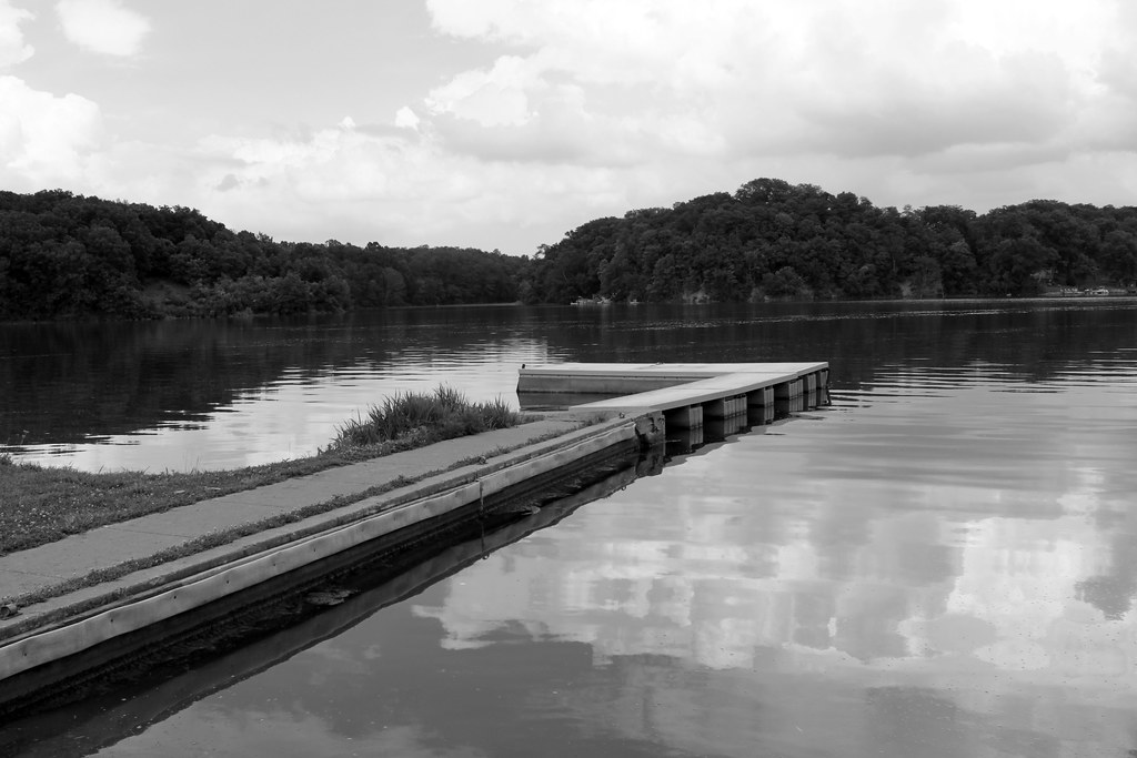
The Boat Dock at Canton Lake 04152013
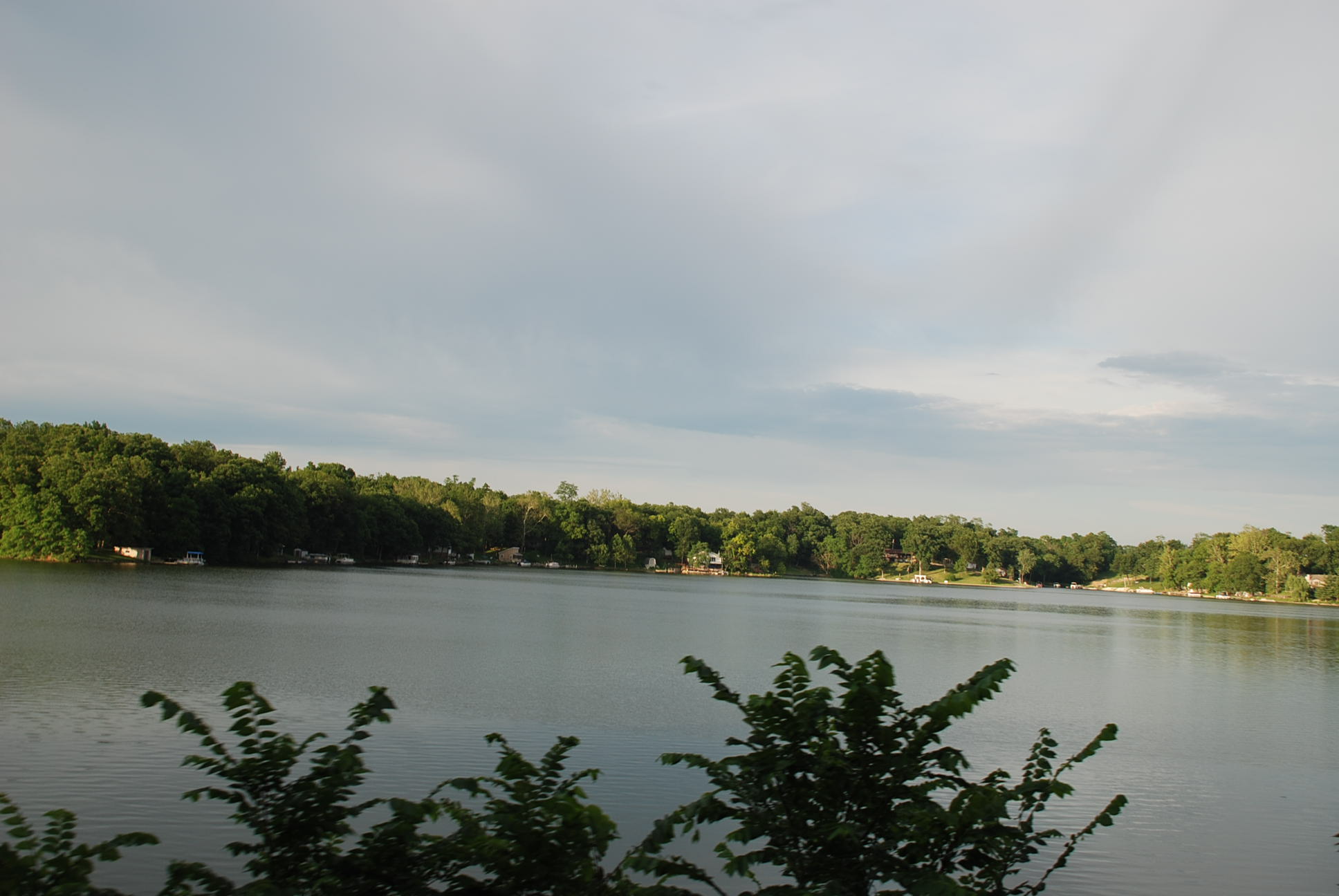
Canton Lake
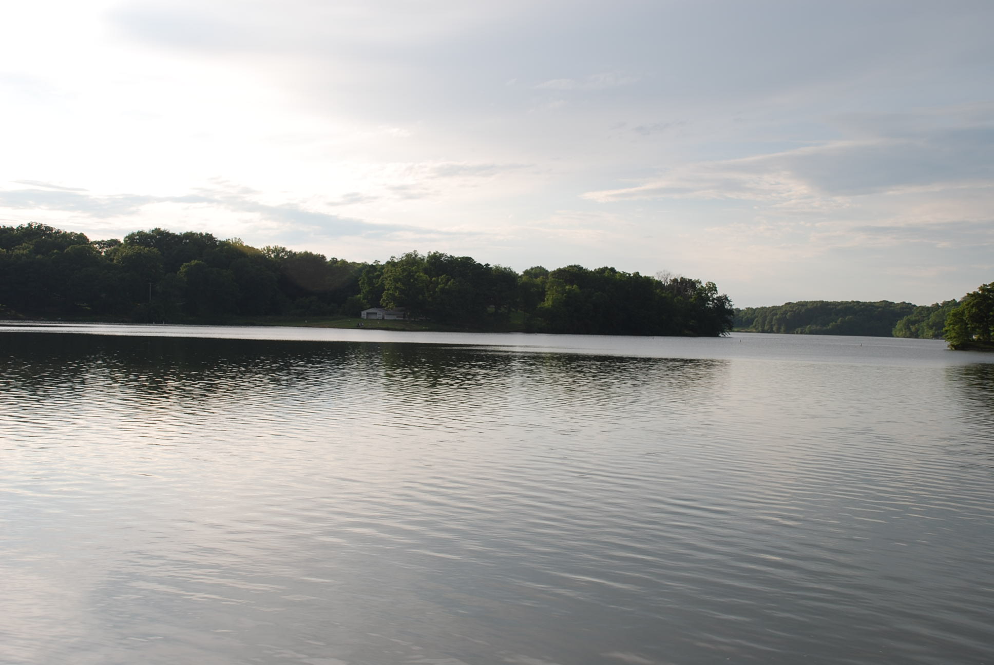
Canton Lake
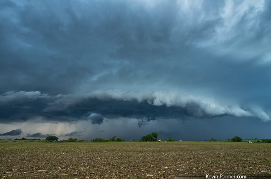
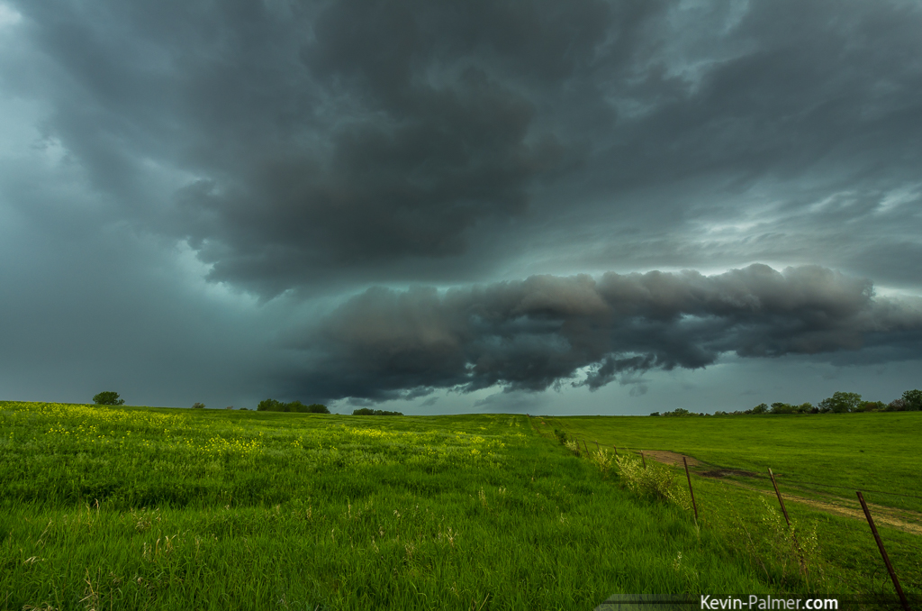
Shelf-ish
Topographic Map of Farmington Township, IL, USA
Find elevation by address:

Places in Farmington Township, IL, USA:
Places near Farmington Township, IL, USA:
County Rd N, Farmington, IL, USA
7737 N Main St
Farmington
1760 N 4th Ave
1760 N 4th Ave
1760 N 4th Ave
Canton Township
Canton
N Main St, Canton, IL, USA
210 W Walnut St
224 S 1st Ave
1912 N Taylor Rd
1912 N Taylor Rd
1912 N Taylor Rd
15250 E Mishi-nama Dr
Buckheart Township
Maquon Township
5th St, Canton, IL, USA
Dunfermline
IL-, Bryant, IL, USA
Recent Searches:
- Elevation of Congressional Dr, Stevensville, MD, USA
- Elevation of Bellview Rd, McLean, VA, USA
- Elevation of Stage Island Rd, Chatham, MA, USA
- Elevation of Shibuya Scramble Crossing, 21 Udagawacho, Shibuya City, Tokyo -, Japan
- Elevation of Jadagoniai, Kaunas District Municipality, Lithuania
- Elevation of Pagonija rock, Kranto 7-oji g. 8"N, Kaunas, Lithuania
- Elevation of Co Rd 87, Jamestown, CO, USA
- Elevation of Tenjo, Cundinamarca, Colombia
- Elevation of Côte-des-Neiges, Montreal, QC H4A 3J6, Canada
- Elevation of Bobcat Dr, Helena, MT, USA