Elevation of Farmerville, LA, USA
Location: United States > Louisiana > Union Parish > >
Longitude: -92.405698
Latitude: 32.7734728
Elevation: 53m / 174feet
Barometric Pressure: 101KPa
Elevation Map:
Satellite Map:
Related Photos:
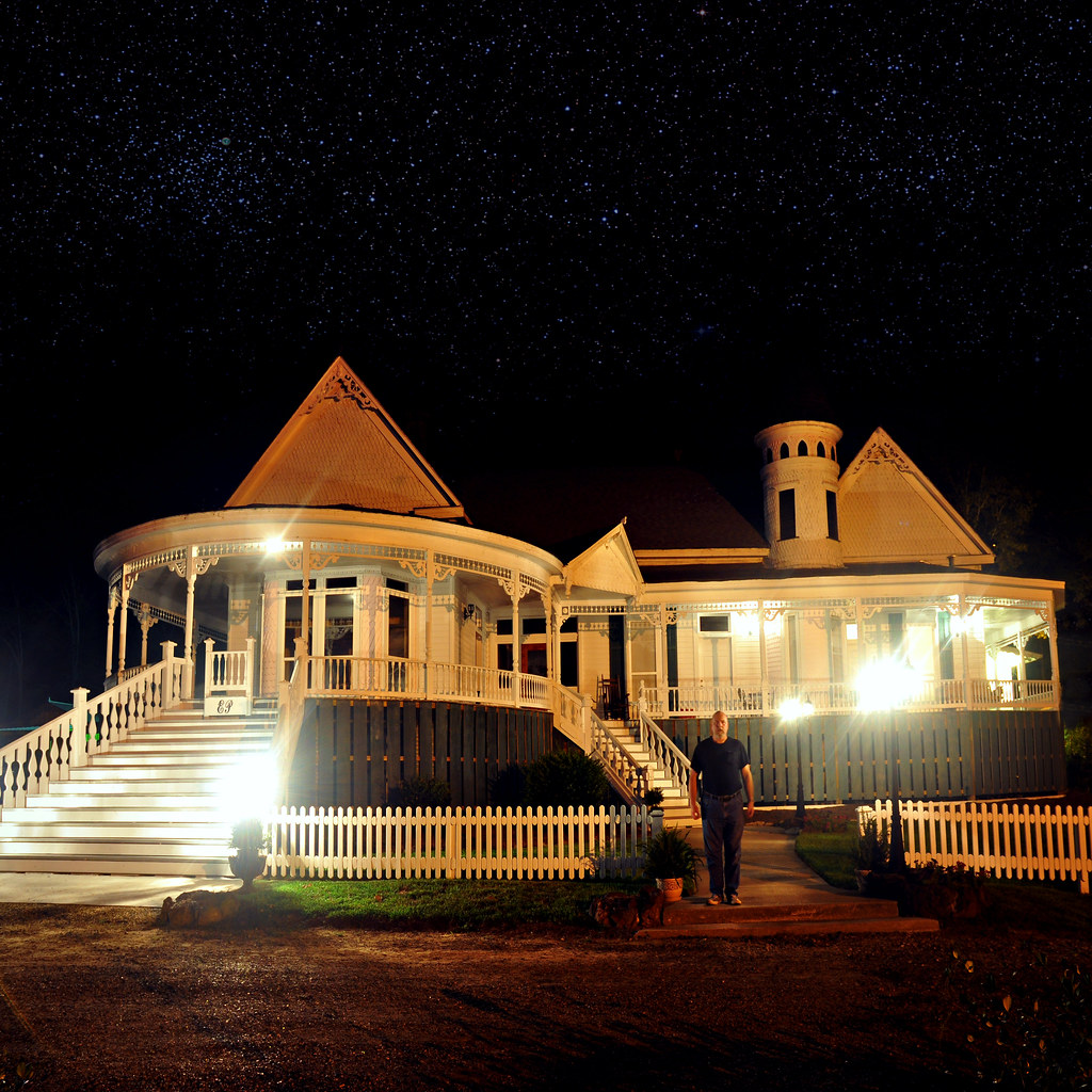
Evening at Edgewood Plantation
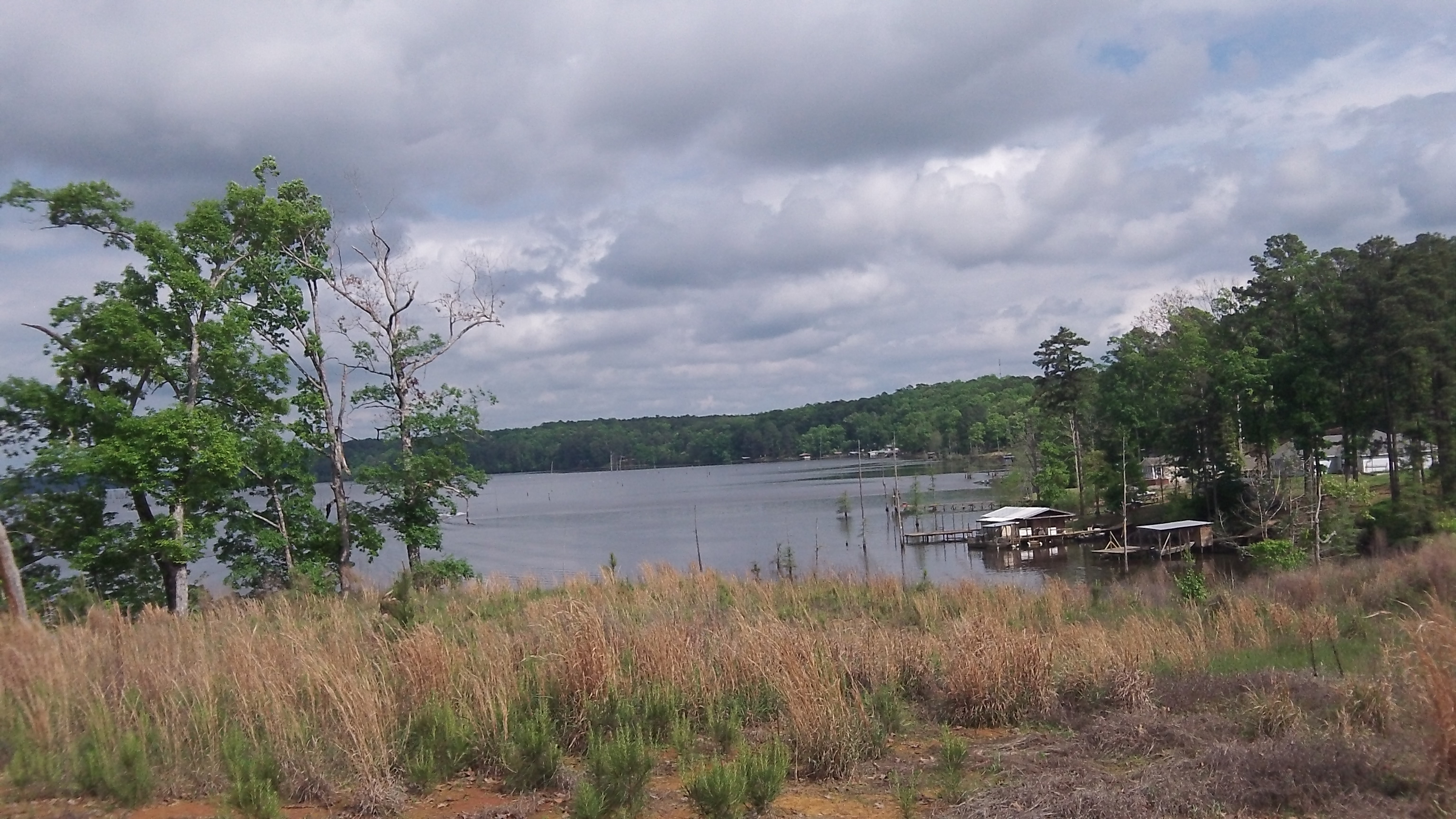
Cabin side view of lake
It's OK here.
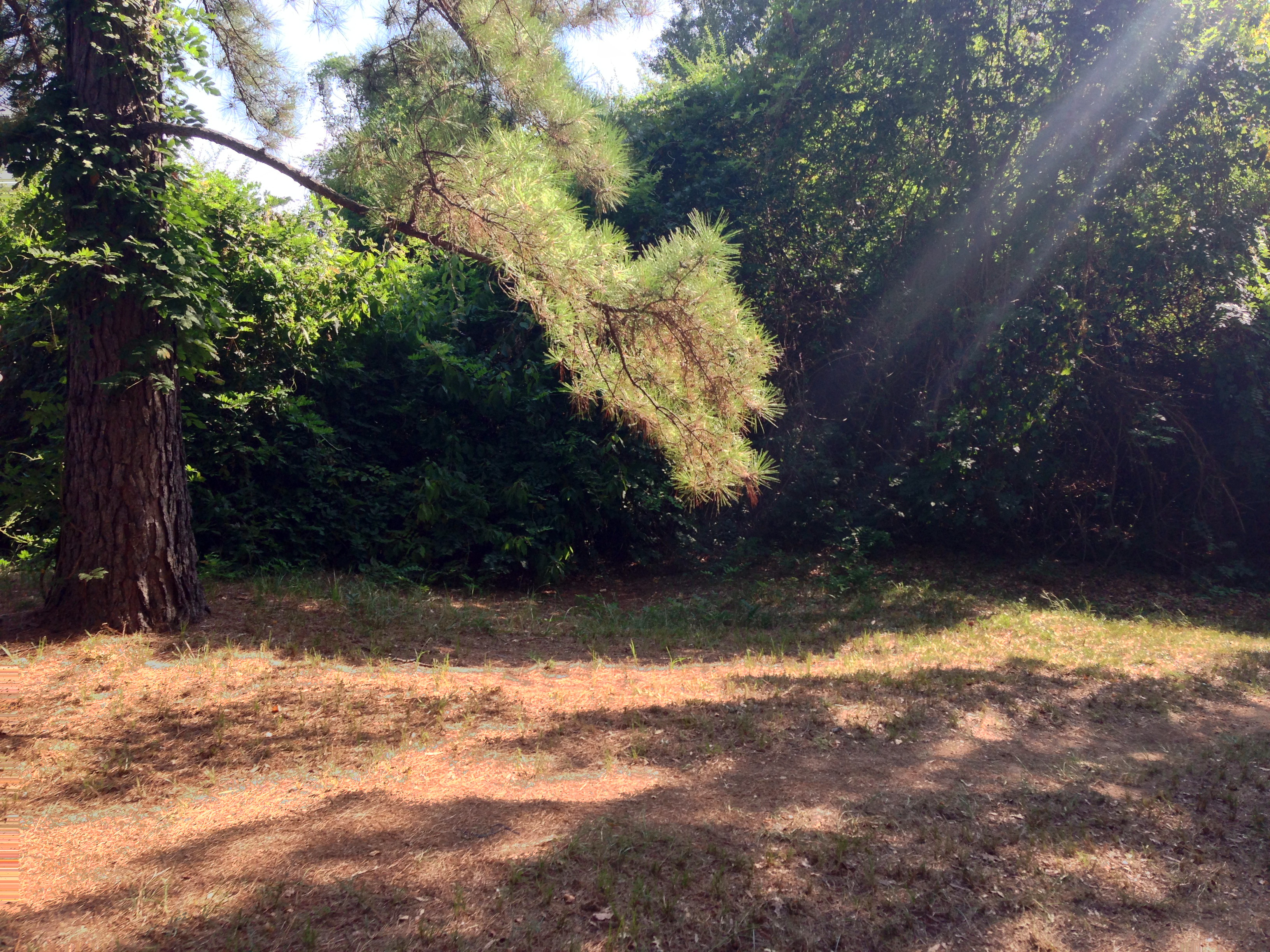
Lake Darbonne Doubletrack
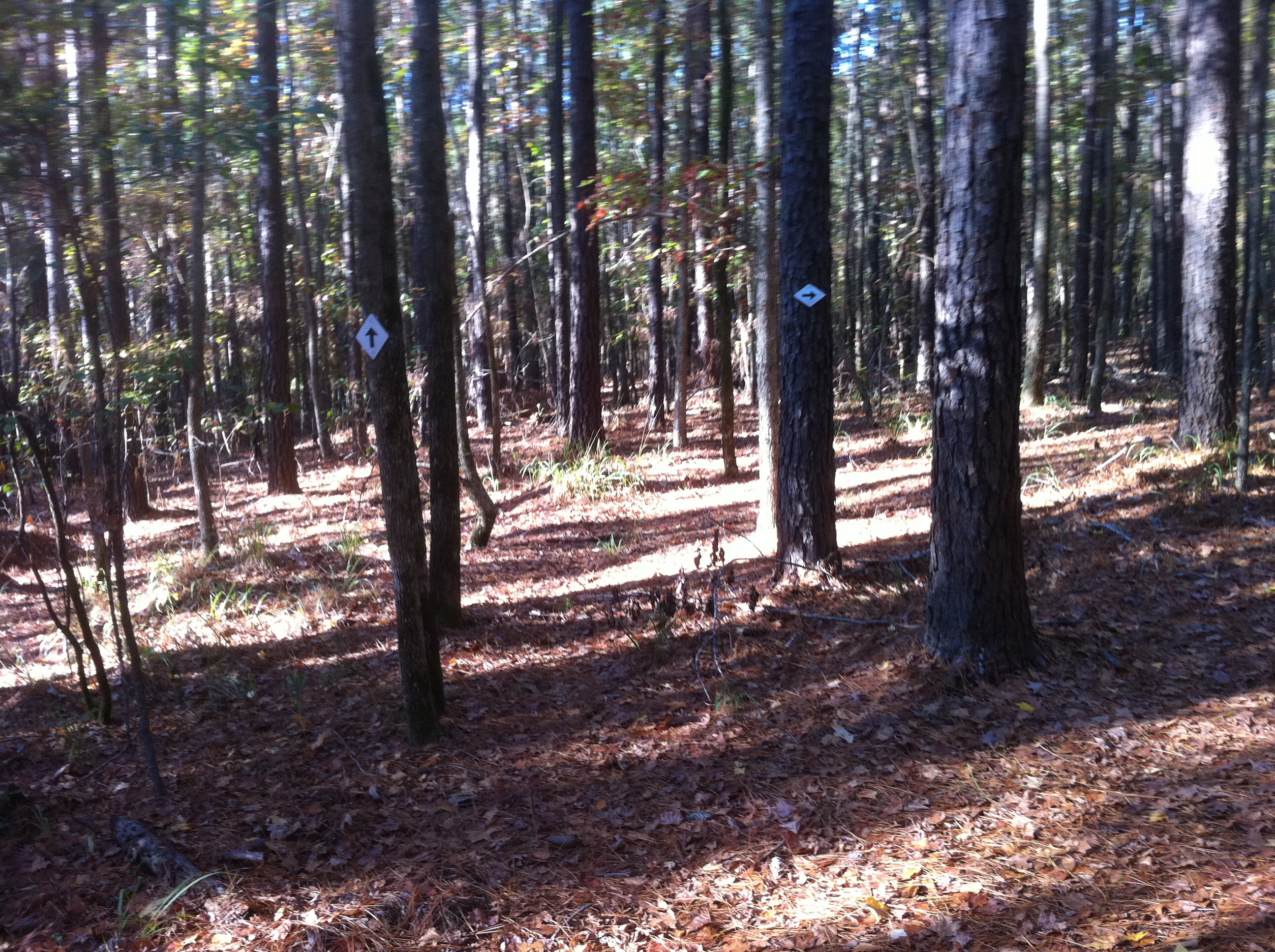
Trail Markers
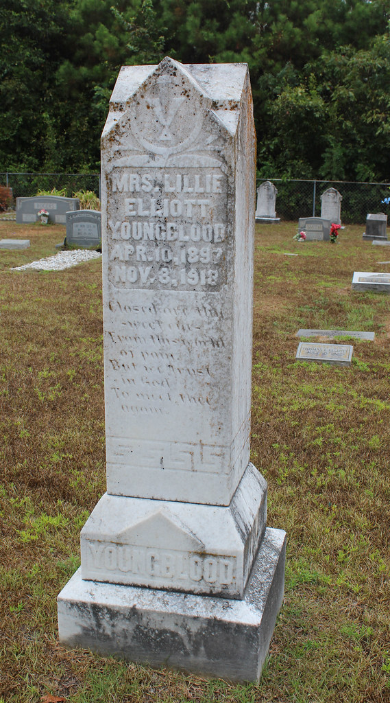
Mount Patrick Cemetary
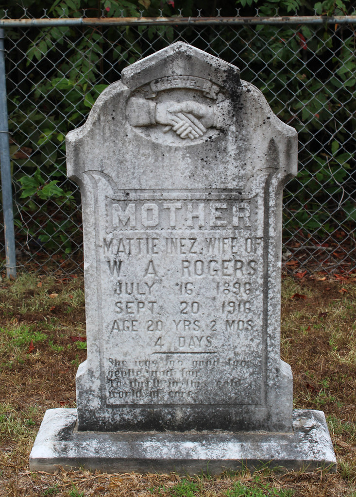
Mount Patrick Cemetary
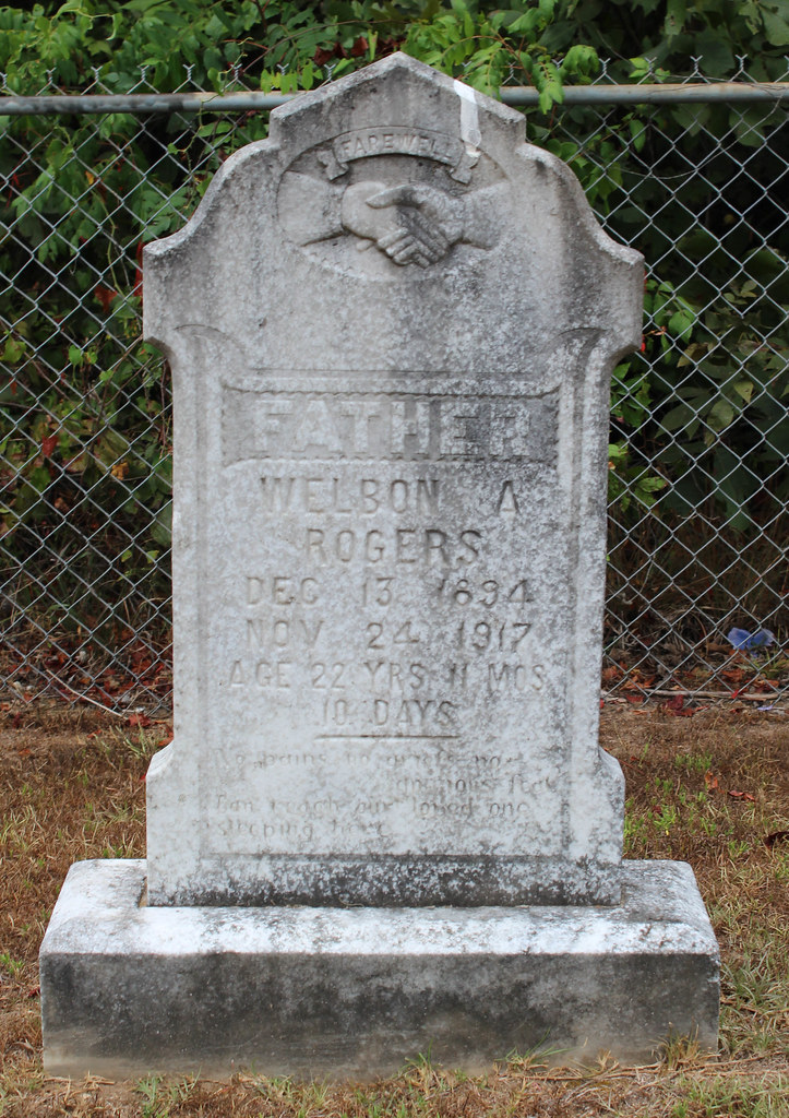
Mount Patrick Cemetary
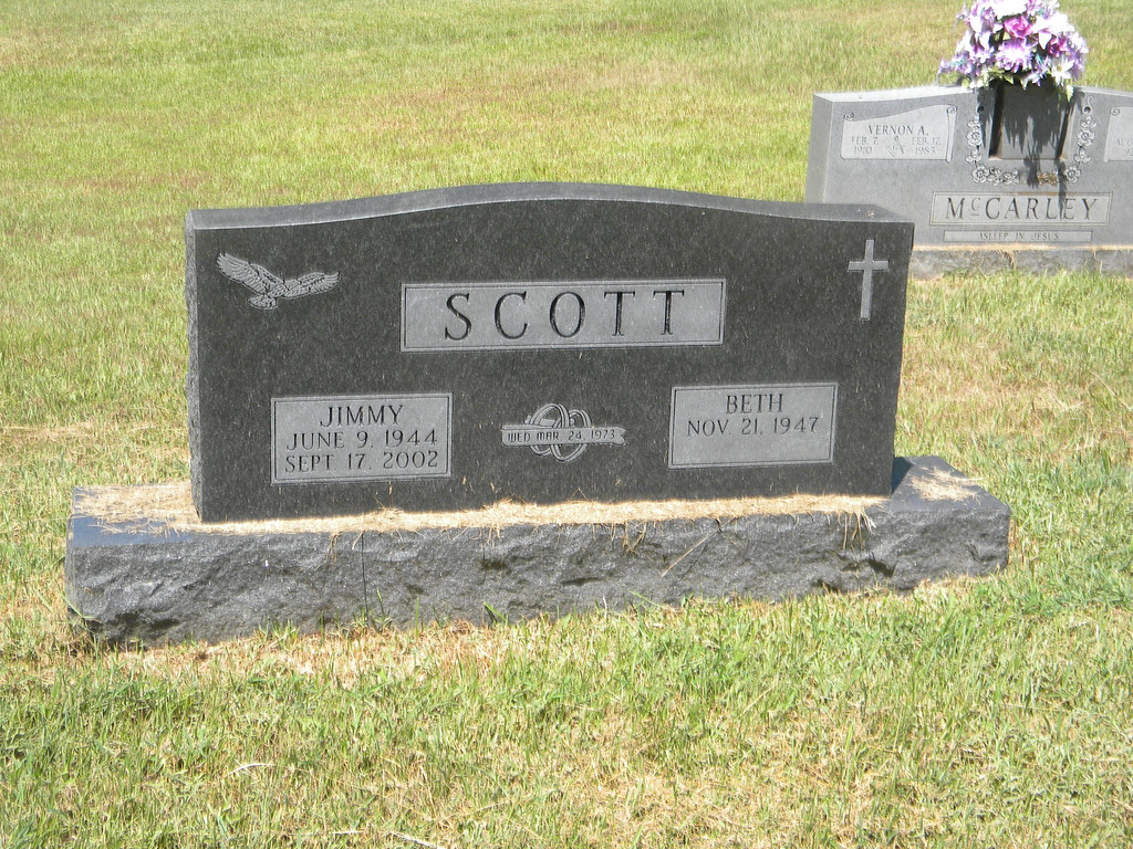
Jimmy Scott
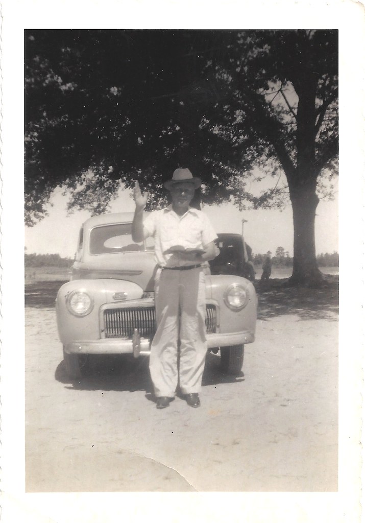
Preacher Man ?
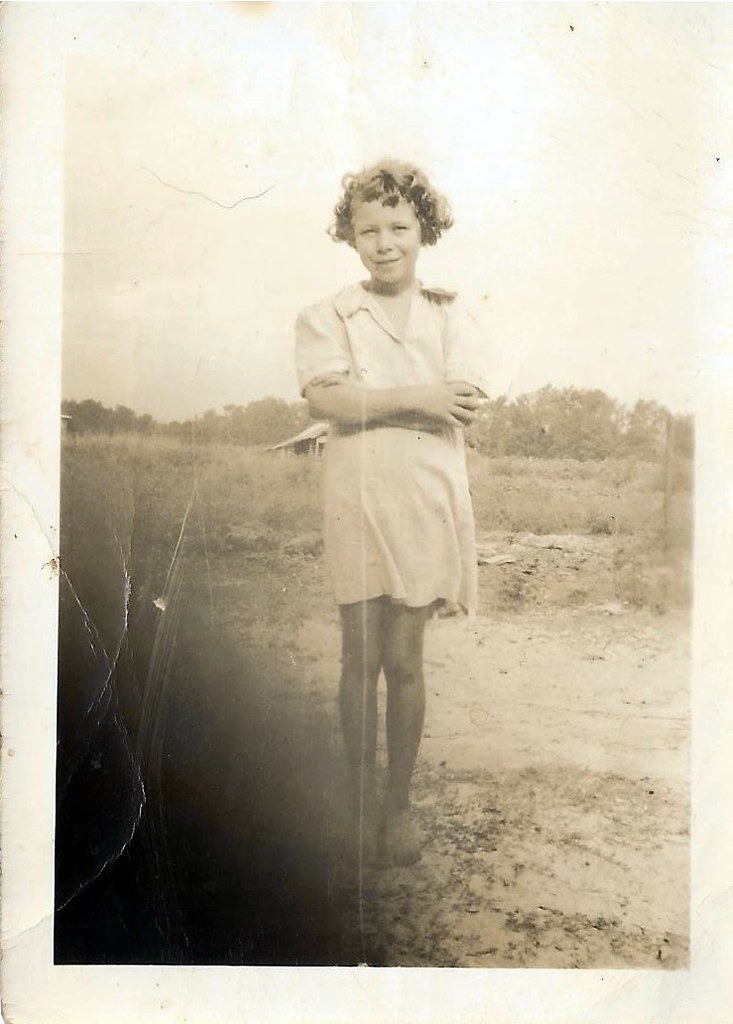
Faye..
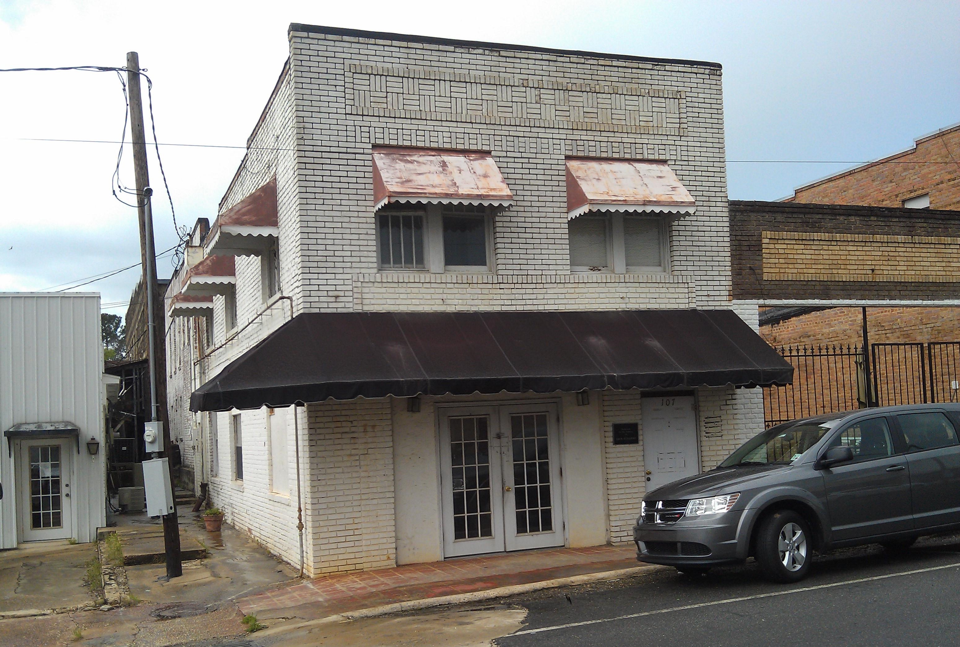
Terral, Dr.,Clinic- Farmerville LA
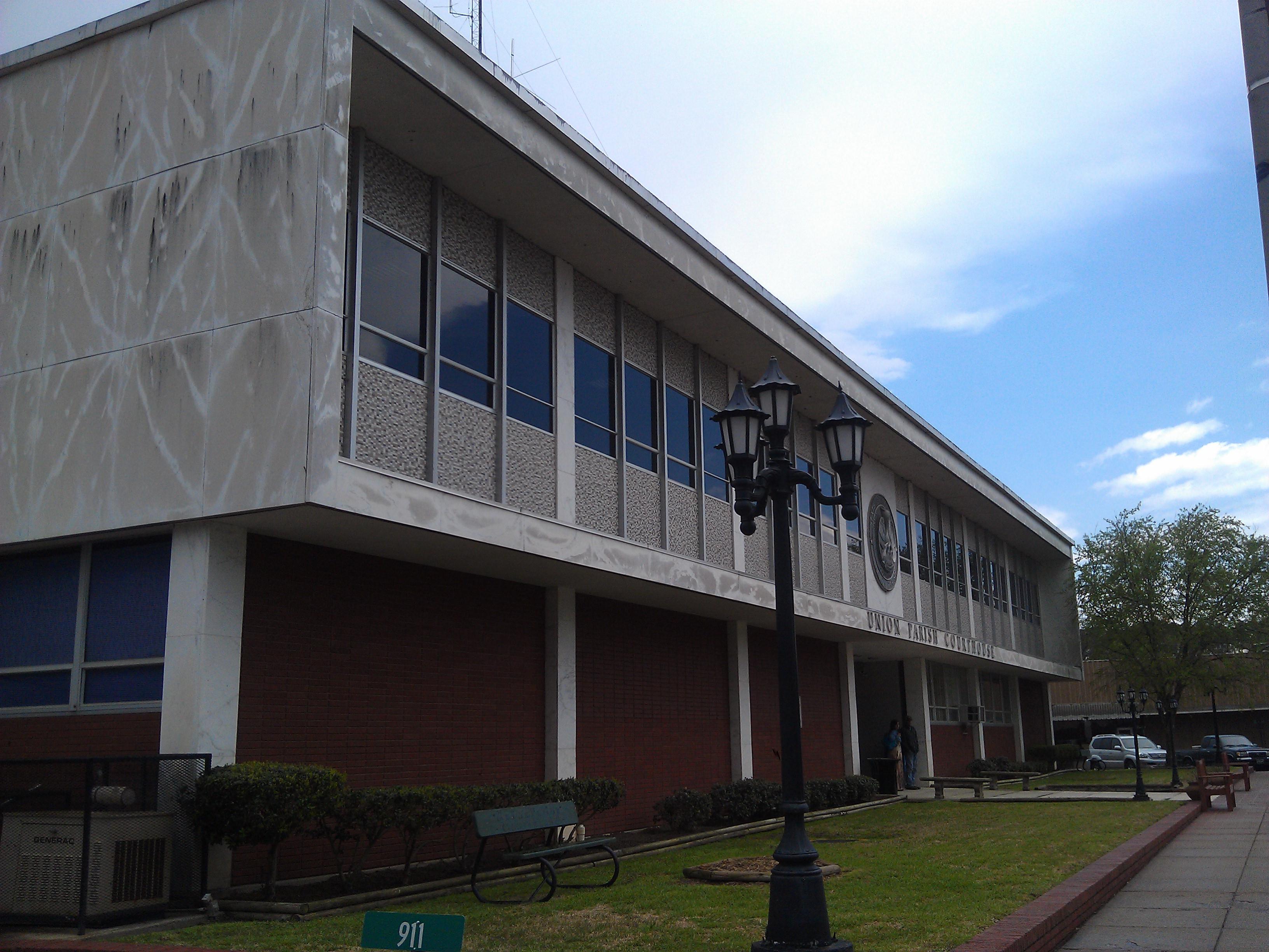
Union Parish Courthouse- Farmerville LA (1)
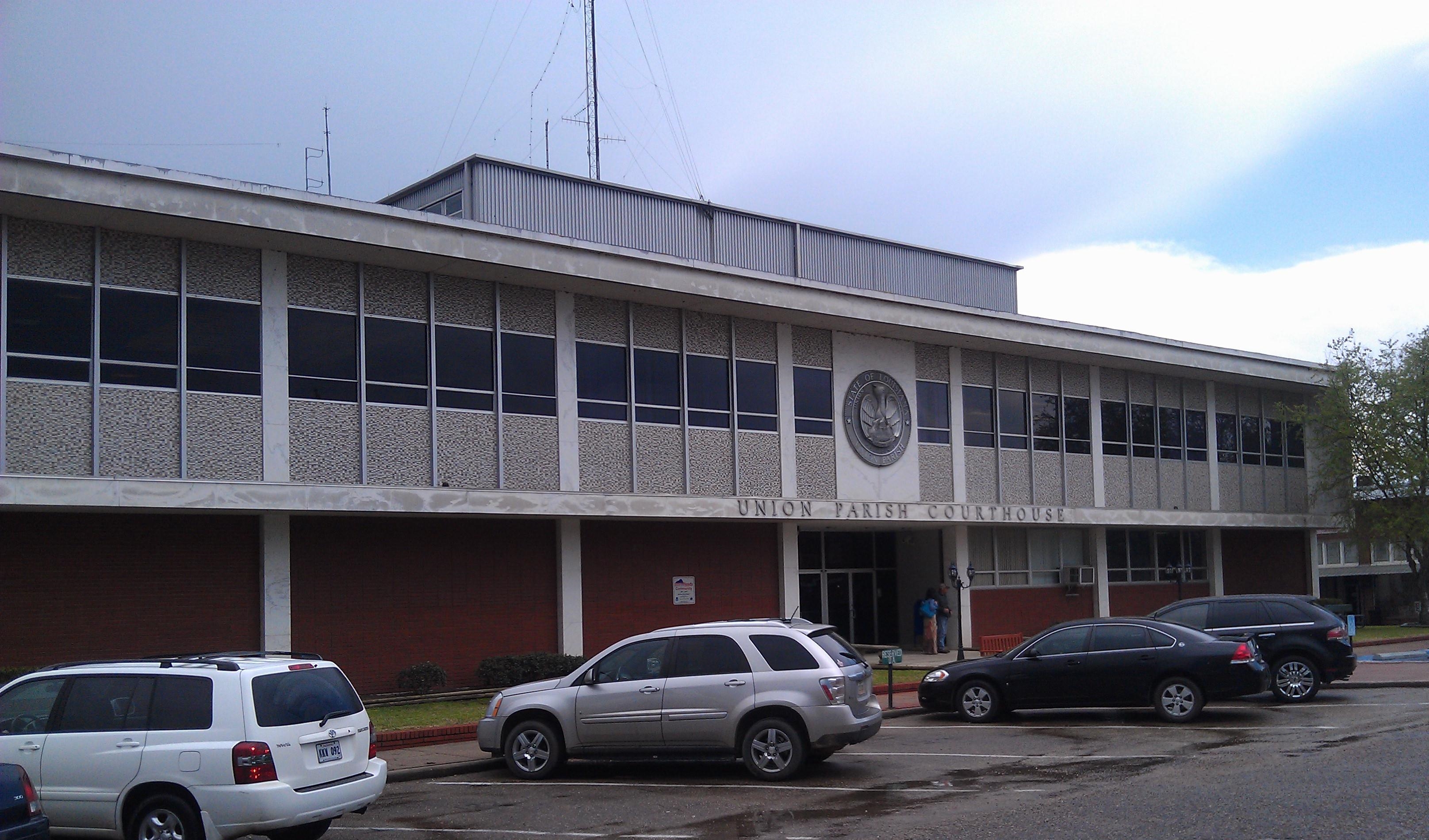
Union Parish Courthouse- Farmerville LA (2)
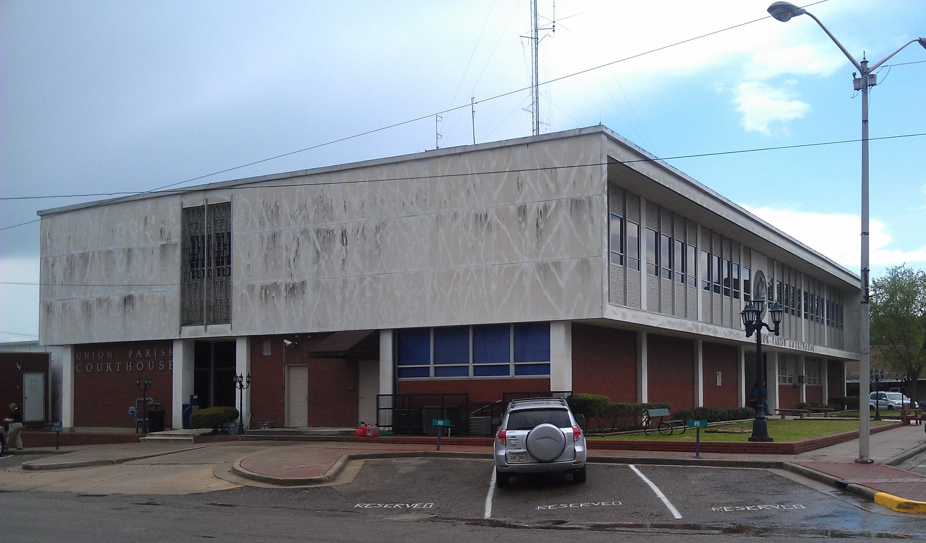
Union Parish Courthouse- Farmerville LA (3)

The Trio
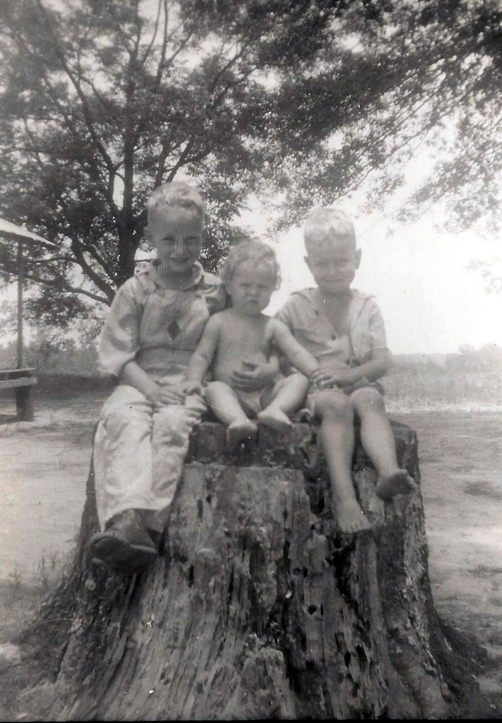
On a Stump
Bessie Defee's

Before the boys

Post Office 71241 (Farmerville, Louisiana)

D'arbonne Spillway
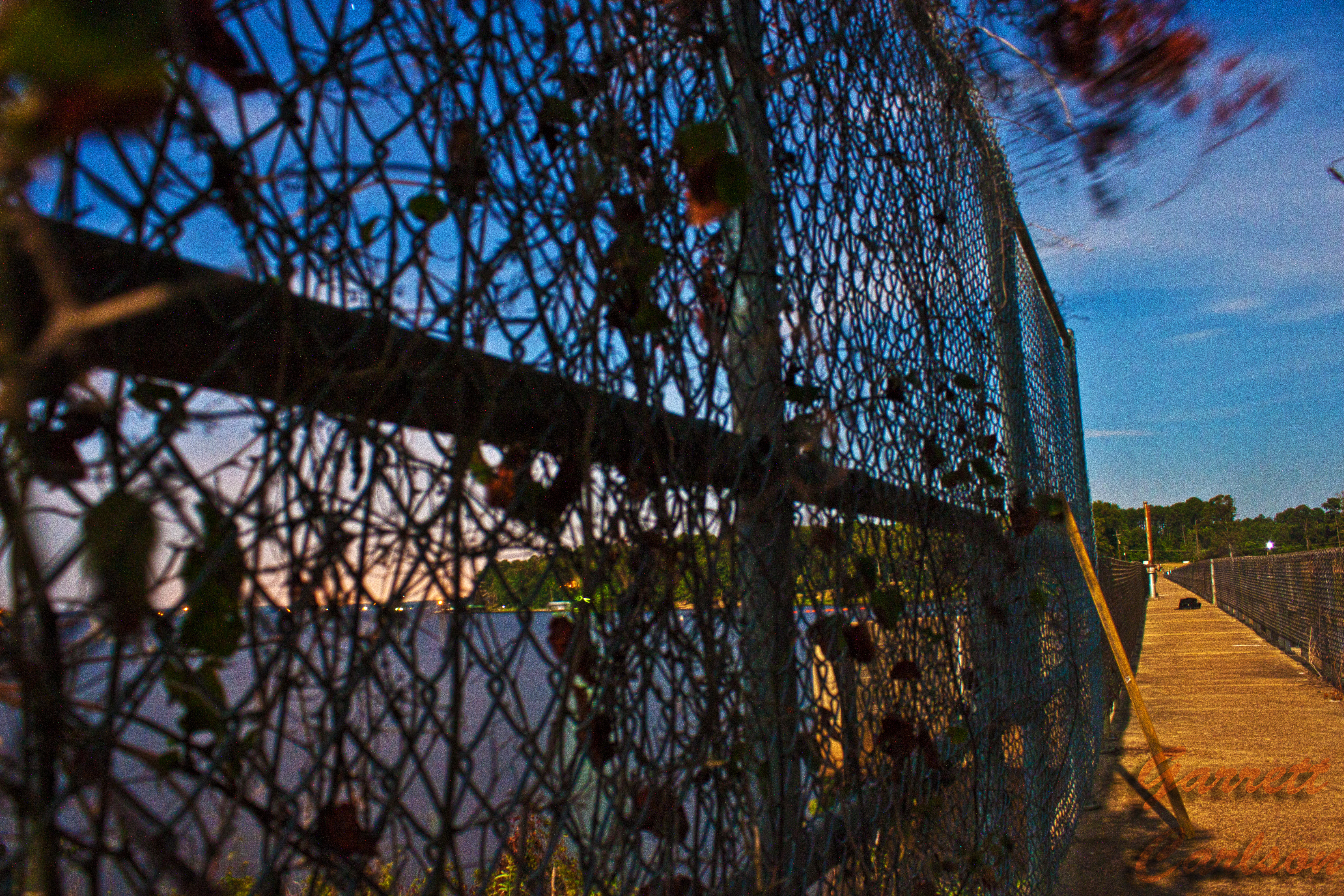
D'arbonne Spillway

chad in the camo
Topographic Map of Farmerville, LA, USA
Find elevation by address:

Places in Farmerville, LA, USA:
Places near Farmerville, LA, USA:
S Main St, Farmerville, LA, USA
1, LA, USA
107 Memory Ln
Union Parish
161 Forks Ferry Point Rd
161 Forks Ferry Point Rd
Forks Ferry Point
138 Rabun Dr
137 Western Reach Rd
131 Western Reach Rd
141 Western Reach Rd
149 Western Reach Rd
Western Reach Road
1215 Webster Bluff Rd
430 Wildwood Dr
135 Adkins Rd
LA-33, Farmerville, LA, USA
7, LA, USA
5, LA, USA
105 Rocky Ford Ln
Recent Searches:
- Elevation of Woodland Oak Pl, Thousand Oaks, CA, USA
- Elevation of Brownsdale Rd, Renfrew, PA, USA
- Elevation of Corcoran Ln, Suffolk, VA, USA
- Elevation of Mamala II, Sariaya, Quezon, Philippines
- Elevation of Sarangdanda, Nepal
- Elevation of 7 Waterfall Way, Tomball, TX, USA
- Elevation of SW 57th Ave, Portland, OR, USA
- Elevation of Crocker Dr, Vacaville, CA, USA
- Elevation of Pu Ngaol Community Meeting Hall, HWHM+3X7, Krong Saen Monourom, Cambodia
- Elevation of Royal Ontario Museum, Queens Park, Toronto, ON M5S 2C6, Canada