Elevation of Farmers Insurance - Eric Price, Palo Alto Way, Running Springs, CA, USA

Location: United States > California > San Bernardino County > Running Springs >

Longitude: -117.10585

Latitude: 34.2055173

Elevation: 1836m / 6024feet

Barometric Pressure: 81KPa

Elevation Map:

elevation map of Farmers Insurance - Eric Price, Palo Alto Way, Running Springs, CA, USA

Satellite Map:

Satellite map of Farmers Insurance - Eric Price, Palo Alto Way, Running Springs, CA, USA

Related Photos:

autumn orange green nature colors clouds canon landscape outdoors view scenic bluesky canyon powershot hills valley southerncalifornia bigbear s100 inlandempire sanbernardinonationalforest sanbernardinomountains highway18
Turn of the Seasons
california sunset mist mountains green clouds landscape nikon hills arrowhead sanbernardino rimoftheworld jameshale jimhale shutterjack
Islands in the Mist
california camera signs postprocessed texture sign photoshop square concrete typography airport graphic eagle text letters norton sage bunker numbers signage type weathered airforce usaf processed vignette radar brac blockhouse typographic sanbernardino supersaturated inlandempire postprocessing reconaissance recon combatcamera lensblur secretrecipe digixpro eyetwist signaltonoise nortonafb prcssd eyetwistkevinballuff decomissionedairforcebase
prcssd. combat camera. san bernardino, ca. 2011.
winter sky snow nature weather outdoors december view scenic explore peaks southerncalifornia bigbear sanbernardinocounty sanbernardinonationalforest sanbernardinomountains
Winter Sky, San Bernardino Mountains [Explored]
nikon san running springs d200 bernardino 2870mmf28d aplusphoto flickrlovers
Thanksgiving Sunset HDR
cliff lights city socal sunset blue
Overlooking the Inland Empire
trees sky nature canon landscape outdoors view hiking powershot boulders pines southerncalifornia hps lakearrowhead s100 sanbernardinocounty sanbernardinonationalforest sanbernardinomountains highclouds hundredpeakssection mountmarielouise
South from Marie Louise
shadow green nature canon landscape outdoors view scenic nationalforest vegetation 5d geography geology southerncalifornia folds markii chaparral topography inlandempire sanbernardinomountains transverserange
Green Topographic
sevenoaksdam santaanariver
Seven Oaks Dam
sevenoaksdam santaanariver
San Bernardino Valley
california sky cloud mountain lake mountains color nature water colors clouds landscape nikon colorful lakes sigma etsy 1020mm bigbear bigbearlake sapphire finegold sigma1020 d5000 flickrhearts flickraward flickrbronzeaward exemplaryphotos internationalgeographic landscapesdreams spiritofphotography nikonflickraward wideanglelandscape addictedtonature nikond5000 naturesprime bestshotawards landscapelovers bestphoto4gpinoct2011 sigma1020world californialandscapephotographer
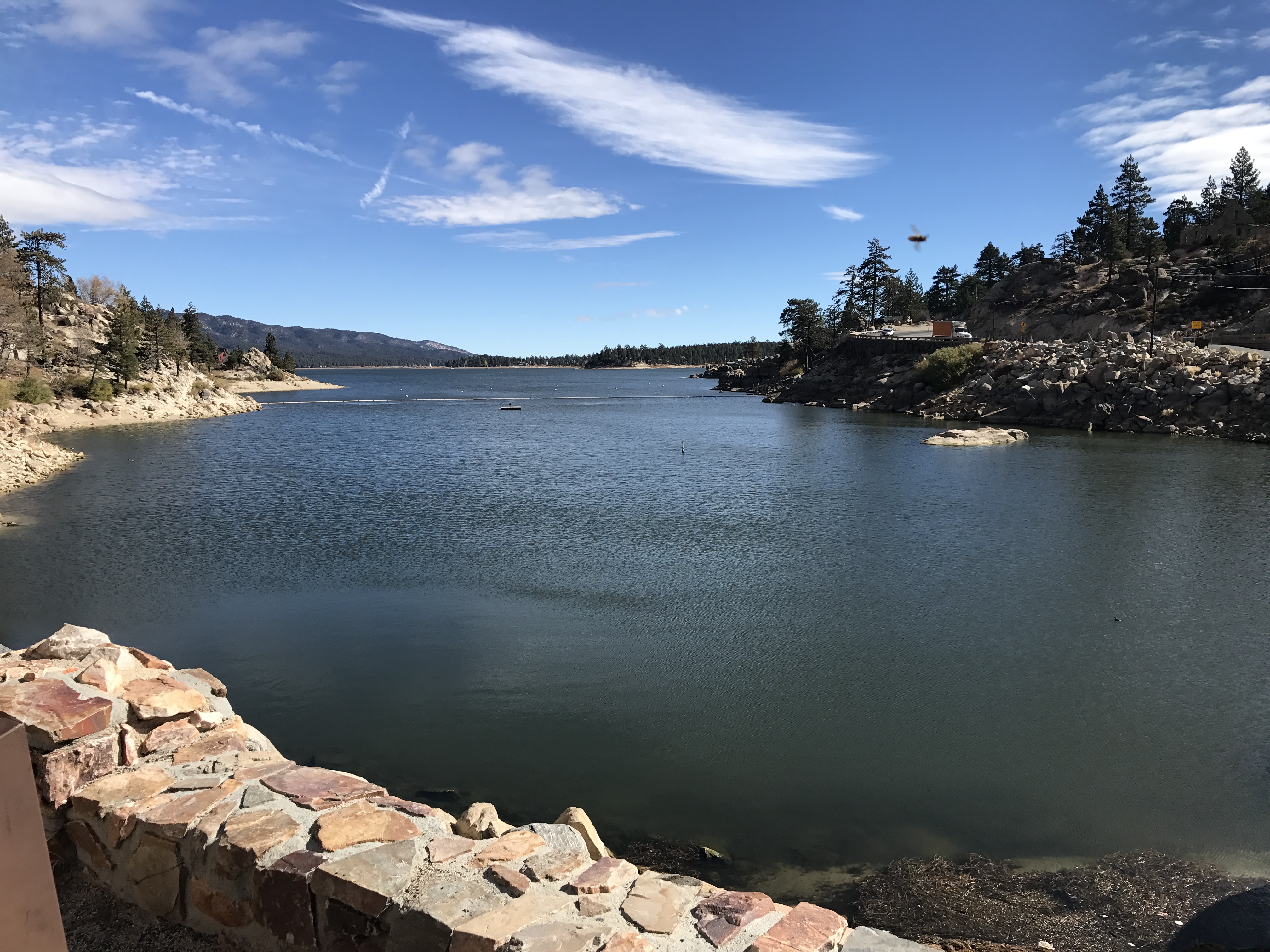
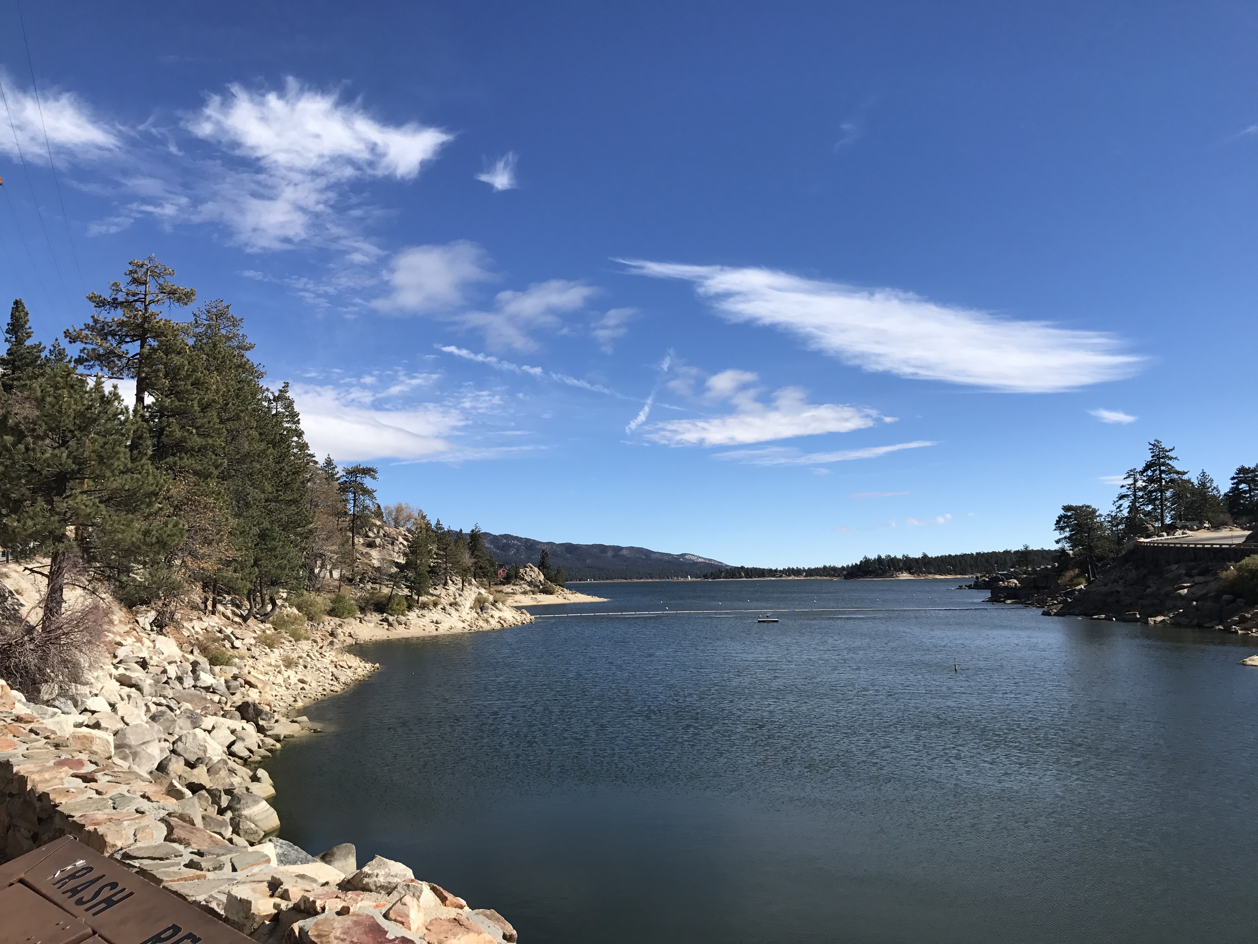
Big Bear Lake View with Mountain from Juniper Point Marina
instagramapp square squareformat iphoneography uploaded:by=instagram lofi
May your day be blessed and full of strippers and burritos or pizza Birds ???? eye ???? view #330
trees snow chairlift iphone
View from a chairlift
nikon san running springs d200 bernardino 2870mmf28d flickrlovers “nikonflickraward”
Above the Clouds
cliff mountains socal lights city blue
The IE from the Mountains Above
eddy lair eddylair westpark9
View From Work
crestline lampornisclemenciae bluethroatedhummingbird
Blue-throated Hummingbird
square squareformat lordkelvin iphoneography instagramapp uploaded:by=instagram foursquare:venue=4e1b18896284c069739b9c15
View from the patio. Good morning ya'll!!!
california firetower marinelayer lakearrowhead
View from the ladder
california camera 6 color abandoned 120 6x6 mamiya film analog mediumformat square concrete 50mm kodak air norton ishootfilm sage negative bunker socal service analogue mamiya6 airforce shelter combat bomb usaf portra derelict radar coldwar blockhouse sanbernardino emulsion inlandempire c41 norad 160nc bombproof primes kodakportra160nc airdefense eyetwist 6mf mamiya6mf nortonafb ishootkodak f35l epsonv750pro aicolor recentlyprocessedfilm aihollywood filmtagger eyetwistkevinballuff mamiya75mmf35l colornegativec41 filmexifai aircombatcameraservice radarintercept
air combat camera service. san bernardino, ca. 2011.
california bw lake mountains water resort socal breathtaking lakearrowhead anawesomeshot
Arrowhead lake
california autumn trees nature forest fence landscape bigbearlake
To the Woods
2017-11-06 10.25.53
Desert trip
millcreekcanyon sanbernardinonationalforest california photo digital spring canyon mountains mountsanbernardino
Mill Creek Canyon
square lofi squareformat iphoneography instagramapp uploaded:by=instagram foursquare:venue=500b1edae4b0ddfaa6ed263f
#sanbernardinomountains #mountains #runningsprings #hwy18
california longexposure water river landscape photography nikon rocks stream unitedstates nationalforest mentone sanbernardinocounty ndfilter d7000
Mill Creek - Mentone, CA, USA
cliff sunset mountains socal rimoftheworld blue
Rim of the World Highway
2017-11-06 10.21.57
california road bridge sky reflection wet water weather clouds landscape photography nikon unitedstates steel mentone partlycloudy sanbernardinocounty d7100
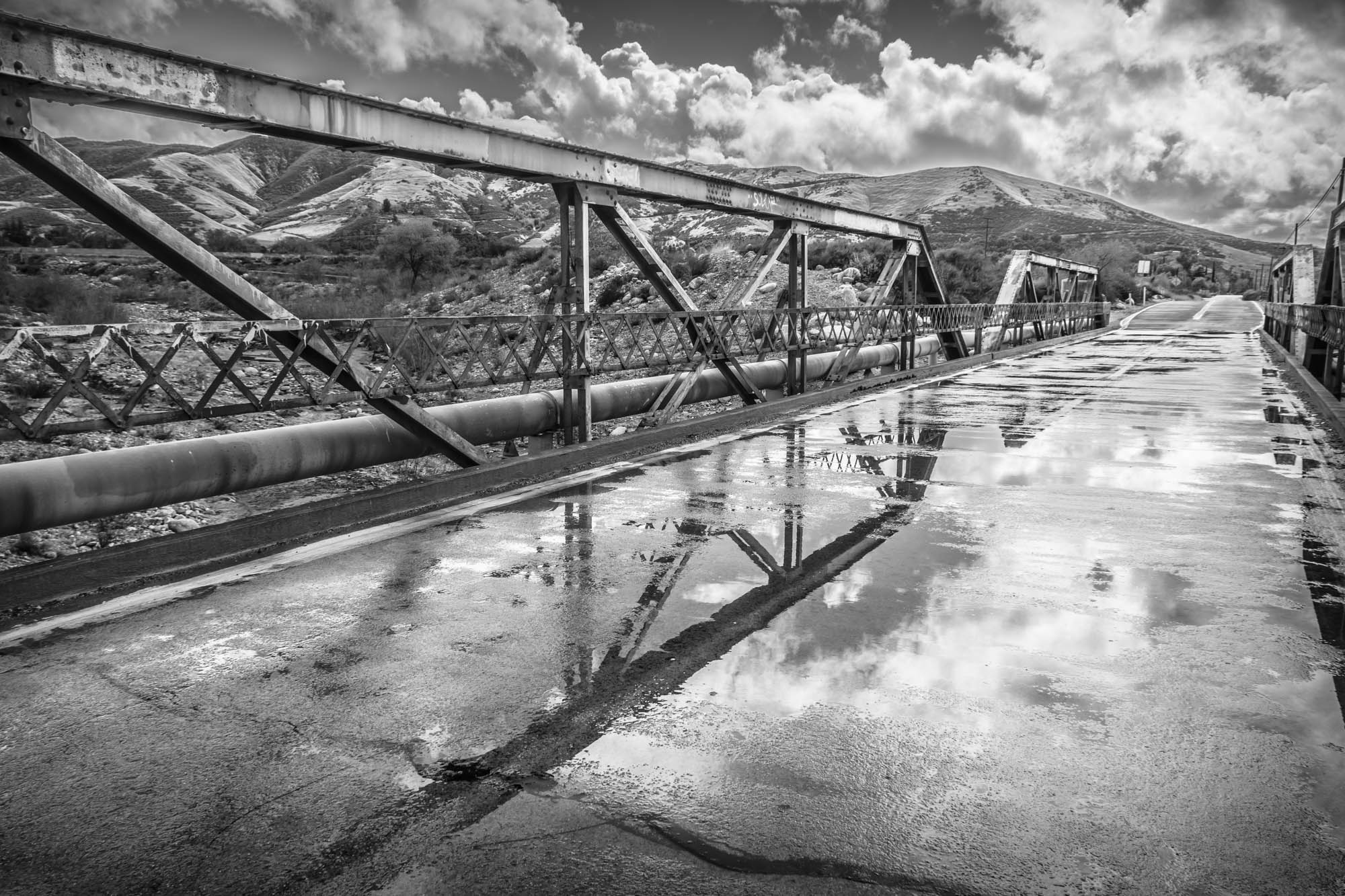
Garnet St. Bridge - Mentone, CA, USA
rimoftheworld forest nature socal mountains sunset cliff
Sunset at Rim of the World
bear longexposure sky night way stars landscapes big milky nightscapes longexposures
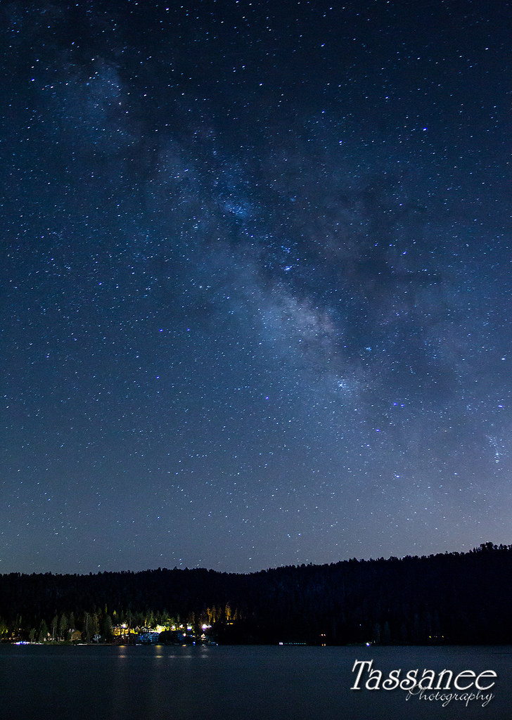
Milky Way over Big Bear
2017-11-06 10.22.03
mountains fog sunrise landscape smog altitude bearmountain skiresort bigbearlake lakearrowhead sanbernardino catchycolorsblack
Above it all
california winter usa foothills nature canon landscape outdoors december unitedstates hiking powershot solstice socal southerncalifornia goldenhour inlandempire lpc sanbernardinocounty sanbernardinomountains santaanamountains santiagopeak oldsaddleback mckinleymountain sx260 lowerpeakscommittee
Orange Saddleback
2017-11-05 12.01.29
park mountains lakearrowhead switzer skyforest paulienablafuze
I never thought I would outlive the trees
california nature landscape woods stream filter nd deepcreek bolders sanbernardinomountains paulknight quixoteimagescom
110-365 Fishing Reconnaissance
clouds fog mountains trees sky blue rimoftheworldhighway lakearrowhead california canonrebelt4i unitedstates america
On the Rim of the World