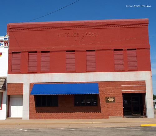
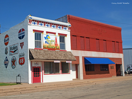
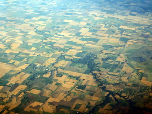
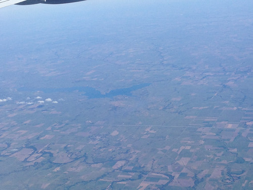
Elevation of Farmer, KS, USA
Location: United States > Kansas > Rice County >
Longitude: -98.418422
Latitude: 38.4968753
Elevation: 543m / 1781feet
Barometric Pressure: 95KPa
Related Photos:
Topographic Map of Farmer, KS, USA
Find elevation by address:

Places in Farmer, KS, USA:
Places near Farmer, KS, USA:
Bushton
S 2nd St, Bushton, KS, USA
Valley
E Santa Fe Ave, Holyrood, KS, USA
Holyrood
Green Garden
Wichita Ave, Lorraine, KS, USA
Lorraine
Victoria
Ellsworth County
Geneseo
Main St, Geneseo, KS, USA
Lyons
Rice County
1609 Ave Q
1609 Ave Q
1609 Ave Q
201 N Evans St
201 N Evans St
Mitchell
Recent Searches:
- Elevation of Corso Fratelli Cairoli, 35, Macerata MC, Italy
- Elevation of Tallevast Rd, Sarasota, FL, USA
- Elevation of 4th St E, Sonoma, CA, USA
- Elevation of Black Hollow Rd, Pennsdale, PA, USA
- Elevation of Oakland Ave, Williamsport, PA, USA
- Elevation of Pedrógão Grande, Portugal
- Elevation of Klee Dr, Martinsburg, WV, USA
- Elevation of Via Roma, Pieranica CR, Italy
- Elevation of Tavkvetili Mountain, Georgia
- Elevation of Hartfords Bluff Cir, Mt Pleasant, SC, USA
