Elevation of Fancy Prairie Rd, Athens, IL, USA
Location: United States > Illinois > Menard County > Athens >
Longitude: -89.600917
Latitude: 39.9978567
Elevation: 188m / 617feet
Barometric Pressure: 99KPa
Elevation Map:
Satellite Map:
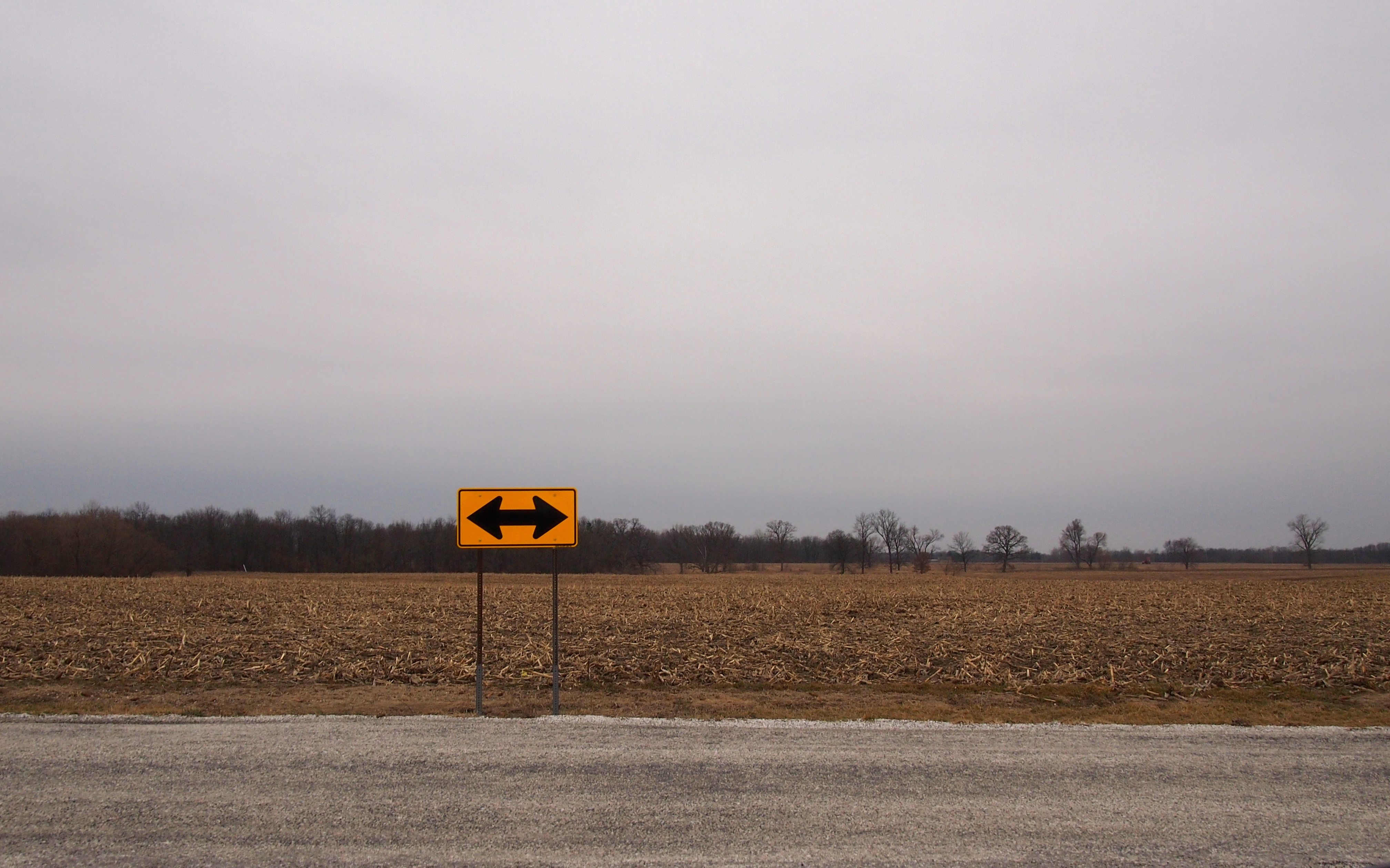
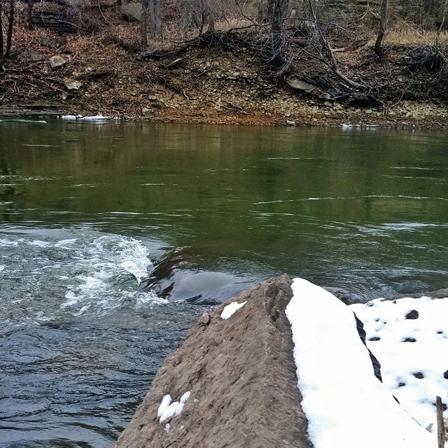
Related Photos:
ICG #9540 going away, Spaulding, Illinois

2011-05-28 21.13.28

High Road

Spiderman vs the Ninja

Great Aunt Helen
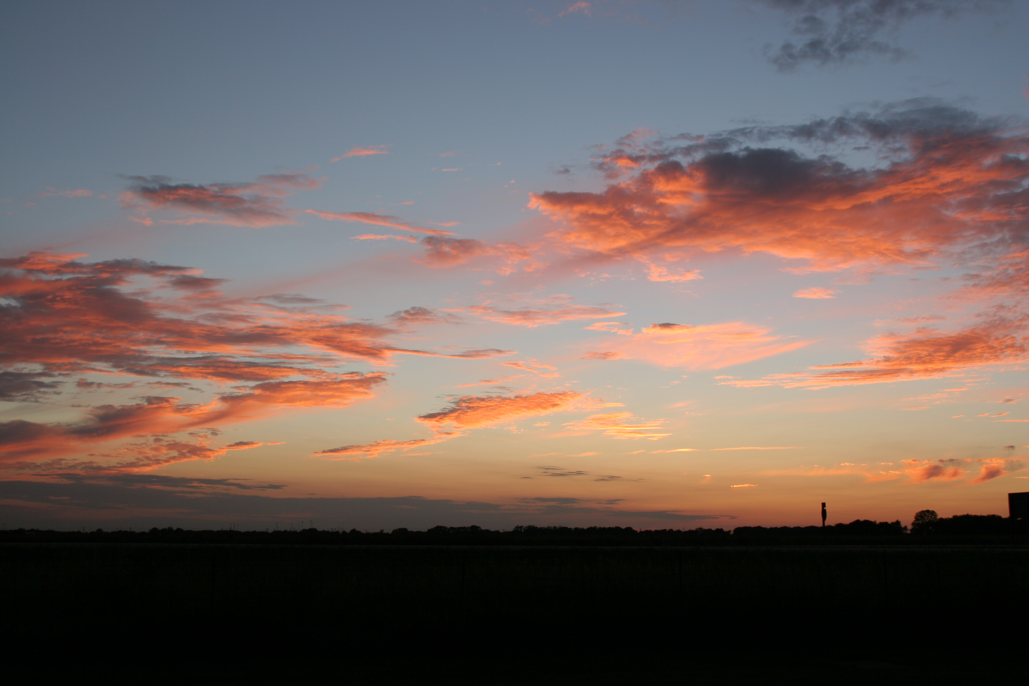
Roadside Prairie Sky

Spiderman vs the Ninja
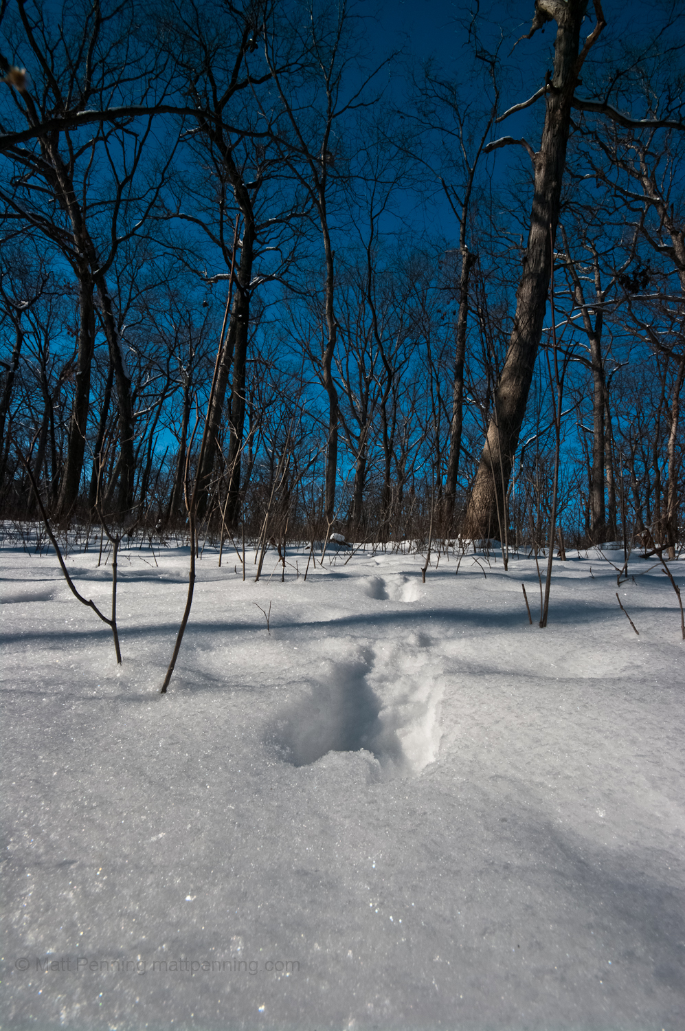
A Winter Walk By The River
2011-02-05 21.33.56
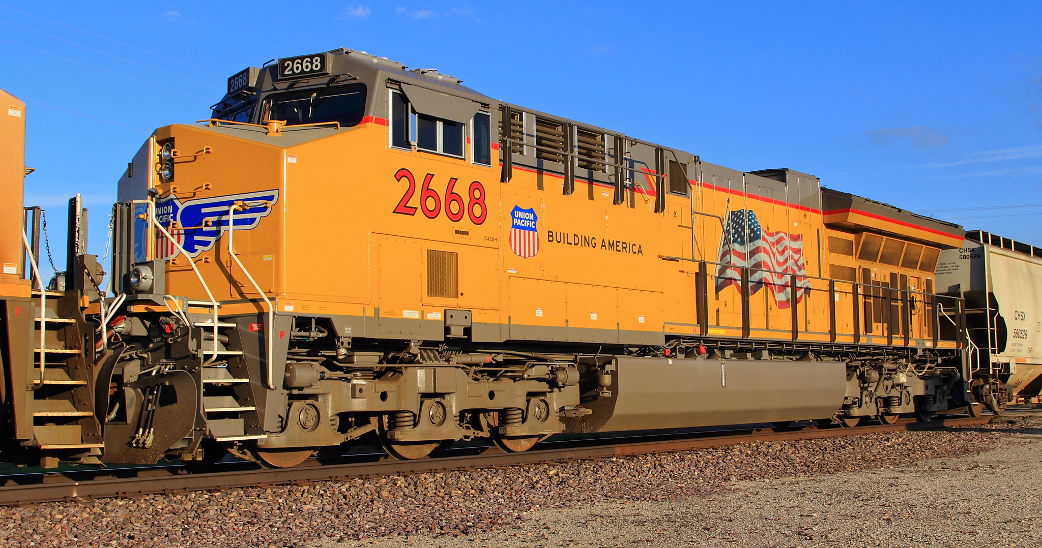
UP 2668 Tier 4 Roster Shot at Barr
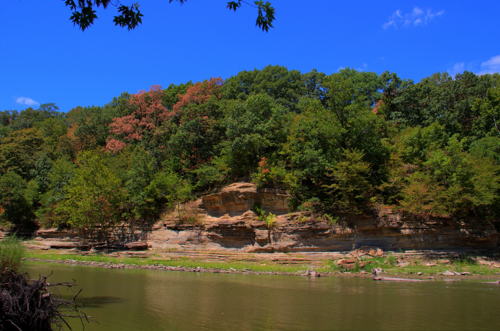
Sangamon River

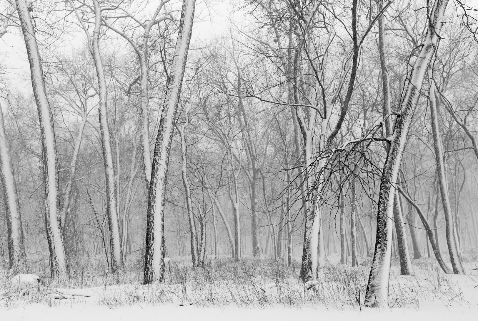
The Trees

IMG_3628 internet
IMG_2644 bw
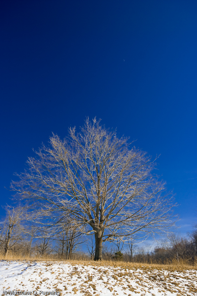
Cold Branches

I don't think Oklahoma owns the market on beautiful sky. #route66 #latergram
Cantrall, 2014
Been seein' the best sunsets on my road trips lately.
Riverside Flowing #lgg3cellcamera #sangamonriver

Winter on the Prairie
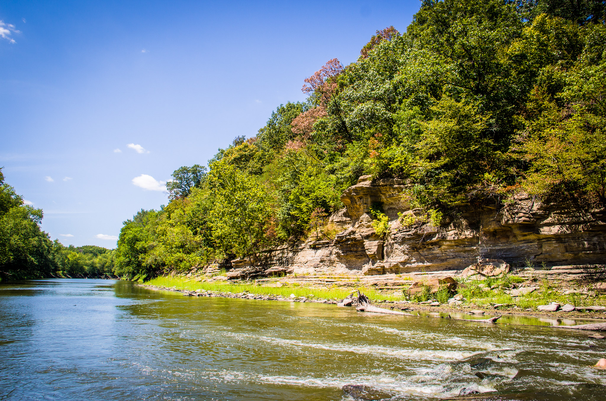
Sangamon River

In the Middle of the Sangamon River

passing by.. along the Highways in America
Rabbit Trails
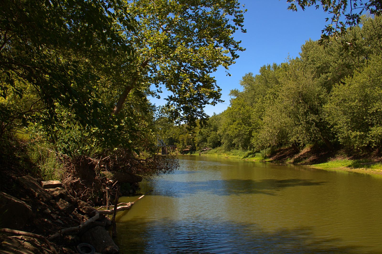
Sangamon River
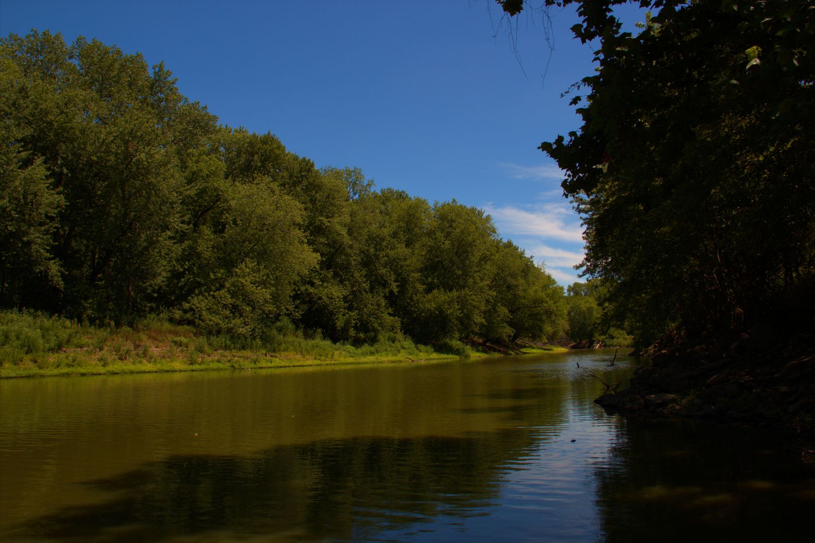
Sangamon River
IMG_0136.JPG
Sunset with the 20D
Camera Roll-657
Winter Flare
Storm coming
Topographic Map of Fancy Prairie Rd, Athens, IL, USA
Find elevation by address:

Places near Fancy Prairie Rd, Athens, IL, USA:
W Main St, Williamsville, IL, USA
Williamsville
Hurlbut Township
Fancy Creek Township
450 450th Ave
Cantrall
Holland St, Cantrall, IL, USA
Sherman
Williams Township
Spaulding Rd, Greenview, IL, USA
9 Memory Ln
Elkhart
Arlington Chase, Sherman, IL, USA
N Main St, Athens, IL, USA
Athens
Elkhart Hill
6445 Strode Rd
Angelo St, Springfield, IL, USA
Springfield Township
11 Jamestown Cir
Recent Searches:
- Elevation of Leguwa, Nepal
- Elevation of County Rd, Enterprise, AL, USA
- Elevation of Kolchuginsky District, Vladimir Oblast, Russia
- Elevation of Shustino, Vladimir Oblast, Russia
- Elevation of Lampiasi St, Sarasota, FL, USA
- Elevation of Elwyn Dr, Roanoke Rapids, NC, USA
- Elevation of Congressional Dr, Stevensville, MD, USA
- Elevation of Bellview Rd, McLean, VA, USA
- Elevation of Stage Island Rd, Chatham, MA, USA
- Elevation of Shibuya Scramble Crossing, 21 Udagawacho, Shibuya City, Tokyo -, Japan