Elevation map of Fallujah, Iraq
Location: Iraq > Al Anbar Governorate >
Longitude: 43.7142484
Latitude: 33.055448
Elevation: 73m / 240feet
Barometric Pressure: 100KPa
Elevation Map:
Satellite Map:
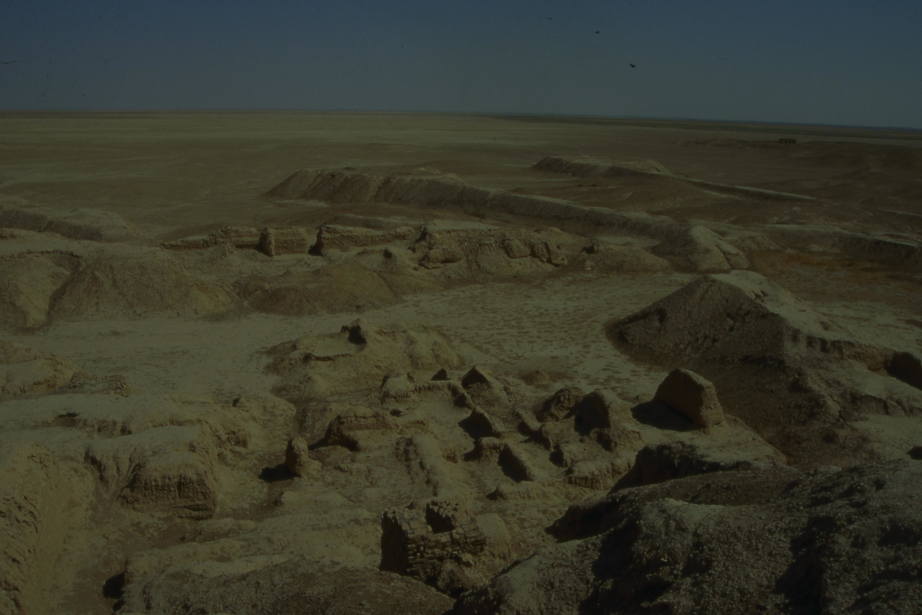
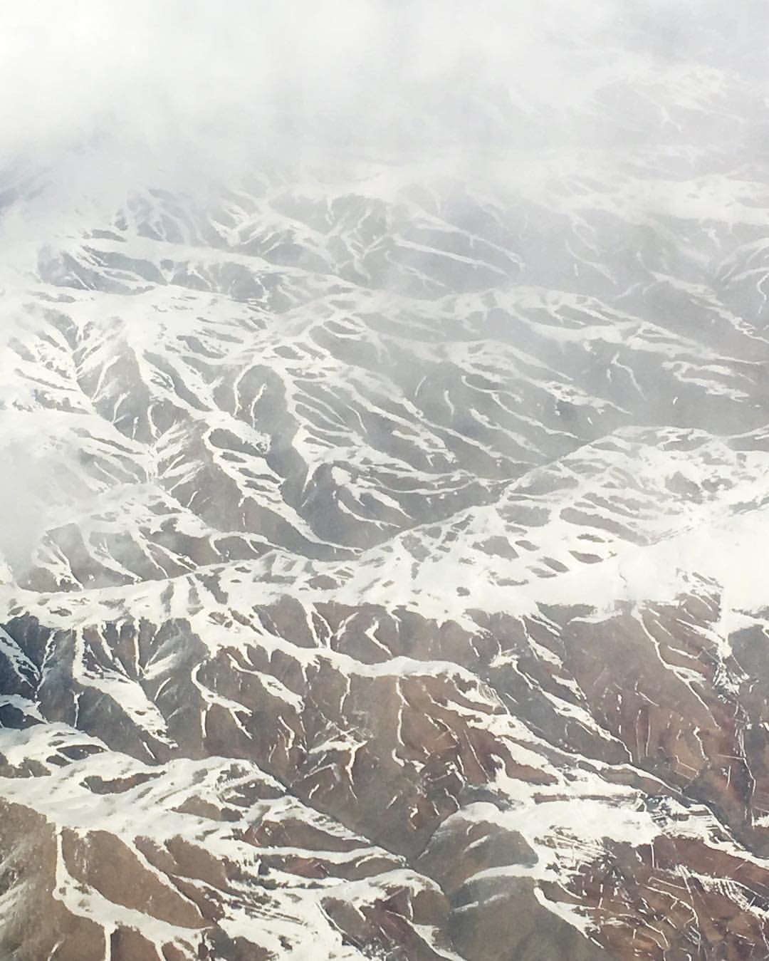
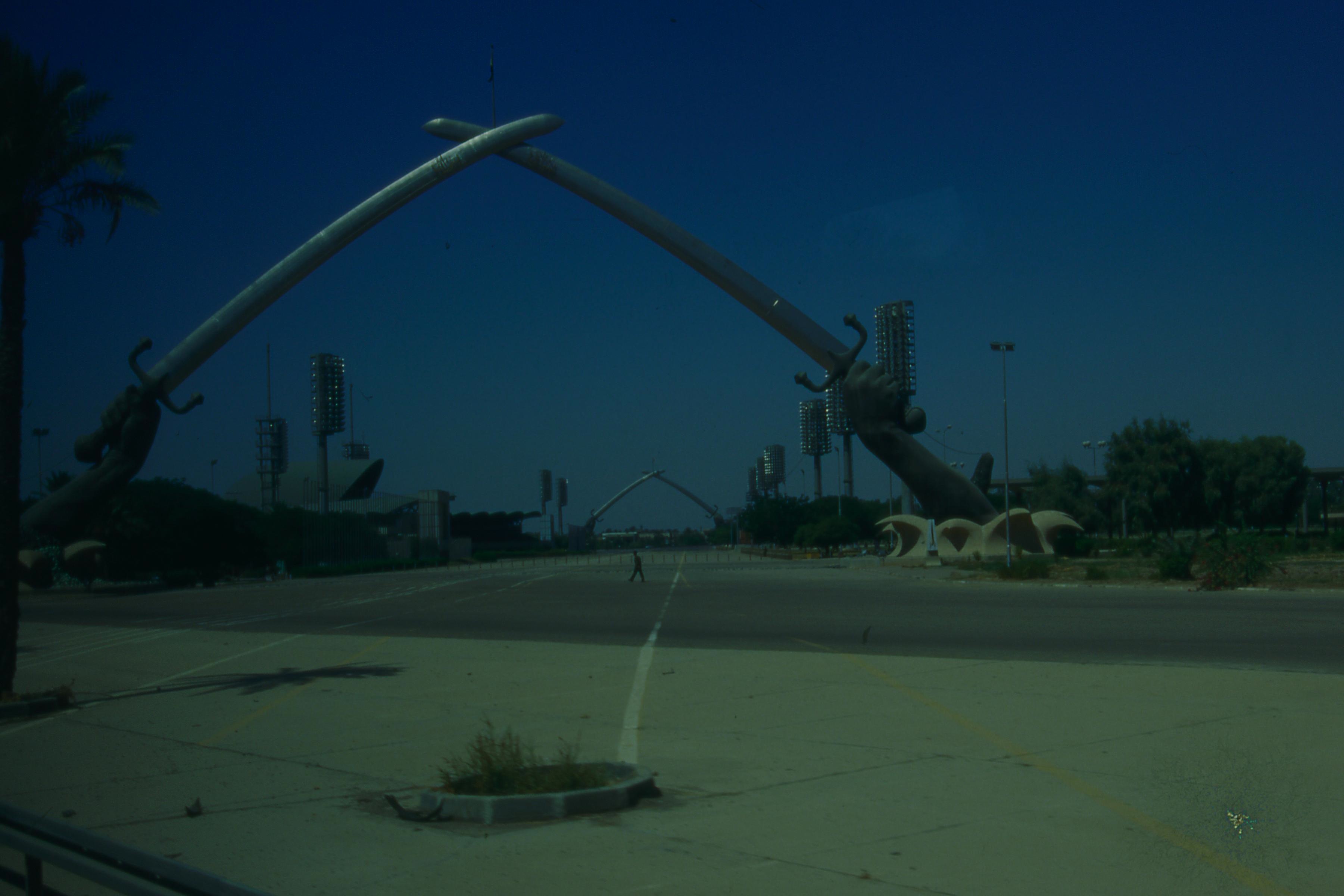
Related Photos:

01-021 Il Tigri

02-043

02-040
07-008

03-037

07-043
Most of life consists of driving somewhere.
08-025

08-024

08-023

08-022

08-021

08-020

08-019

08-018

08-017

08-016

08-015

08-014

08-013

08-012

08-011

08-010

08-009

08-008

08-007
Topographic Map of Fallujah, Iraq
Find elevation by address:

Places in Fallujah, Iraq:
Places near Fallujah, Iraq:
Iraq
Al-fallujah
Karbala Governorate
Musayyib
مدرسة رودينا الابتدائية الاهلية
Baghdad
Babylon Rotana
Karkh
Royal Tulip Al Rasheed Hotel
Al Qamariyah Mosque
Shwaka
Al Salhiah
Euphrates River
Baghdad Governorate
Hillah
Babylon Governorate
Recent Searches:
- Elevation of Elwyn Dr, Roanoke Rapids, NC, USA
- Elevation of Congressional Dr, Stevensville, MD, USA
- Elevation of Bellview Rd, McLean, VA, USA
- Elevation of Stage Island Rd, Chatham, MA, USA
- Elevation of Shibuya Scramble Crossing, 21 Udagawacho, Shibuya City, Tokyo -, Japan
- Elevation of Jadagoniai, Kaunas District Municipality, Lithuania
- Elevation of Pagonija rock, Kranto 7-oji g. 8"N, Kaunas, Lithuania
- Elevation of Co Rd 87, Jamestown, CO, USA
- Elevation of Tenjo, Cundinamarca, Colombia
- Elevation of Côte-des-Neiges, Montreal, QC H4A 3J6, Canada