Elevation of Falls Bridge Rd, Blue Hill, ME, USA
Location: United States > Maine > Hancock County > Blue Hill >
Longitude: -68.549579
Latitude: 44.3591192
Elevation: 21m / 69feet
Barometric Pressure: 101KPa
Elevation Map:
Satellite Map:
Related Photos:
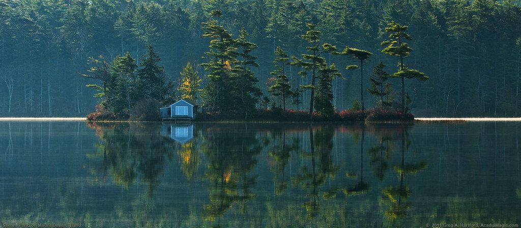
Somes Pond on Mount Desert Island

Brooklin Dawn

Blue Hill Light

R_20090831181356_162-Edit
View of Harbor and Sellers Islands from Hogg Island, Brooklin, Maine 2007

Sausage at the Fair
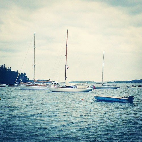
In port and our view. Waiting for rain and storm. May be here next twenty four hours. Time to figure out how to relax.

View From A Hill
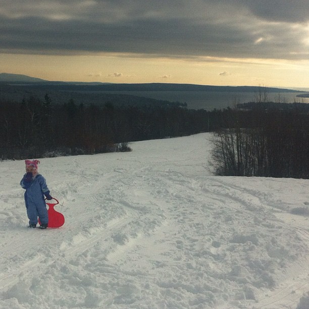
Post-Xmas fun. Just up the road sits some of the best sledding. Just below the summit with a view that goes on forever.

Window View
Autumn View from Caterpillar Hill

Brooksville Events 3d Cross Eye View

GSA Graduates 3D Cross View

The Camden Hills

Window View 2

good morning
Acadia National Park, Maine

Autumn Tapestry of Leaves
view for two
View from Pretty Marsh Cabin
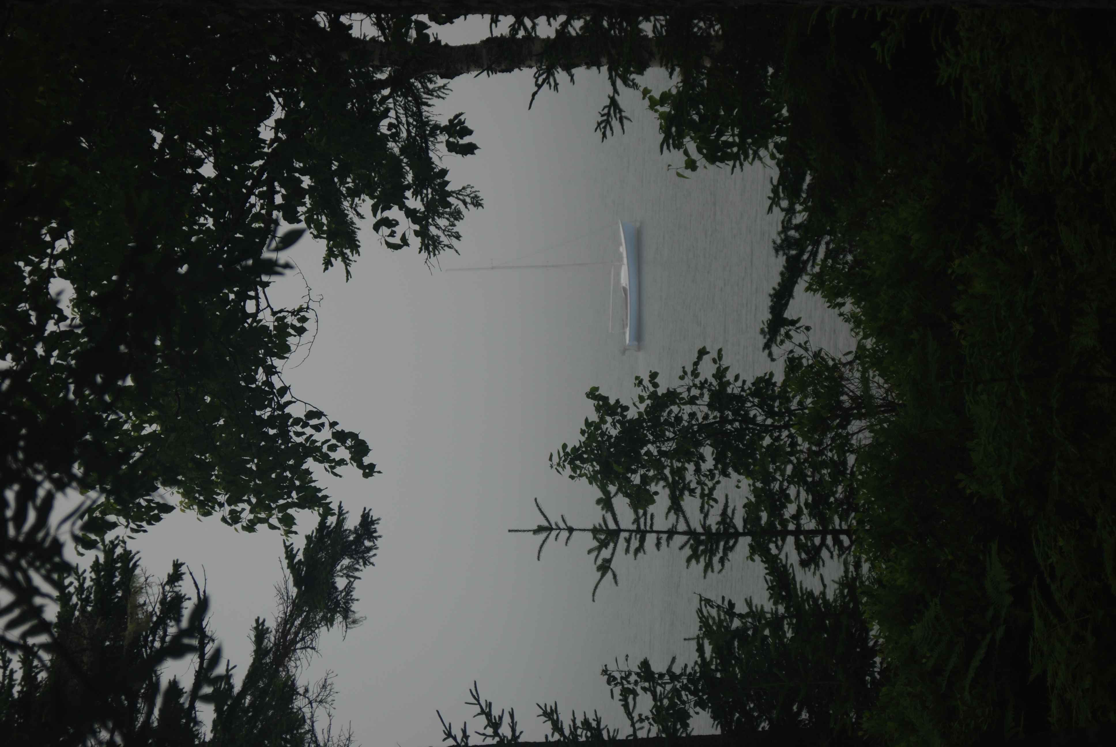
Foggy view

The Mill Stream and Harbor
Camden Hills From Catapiller Hill
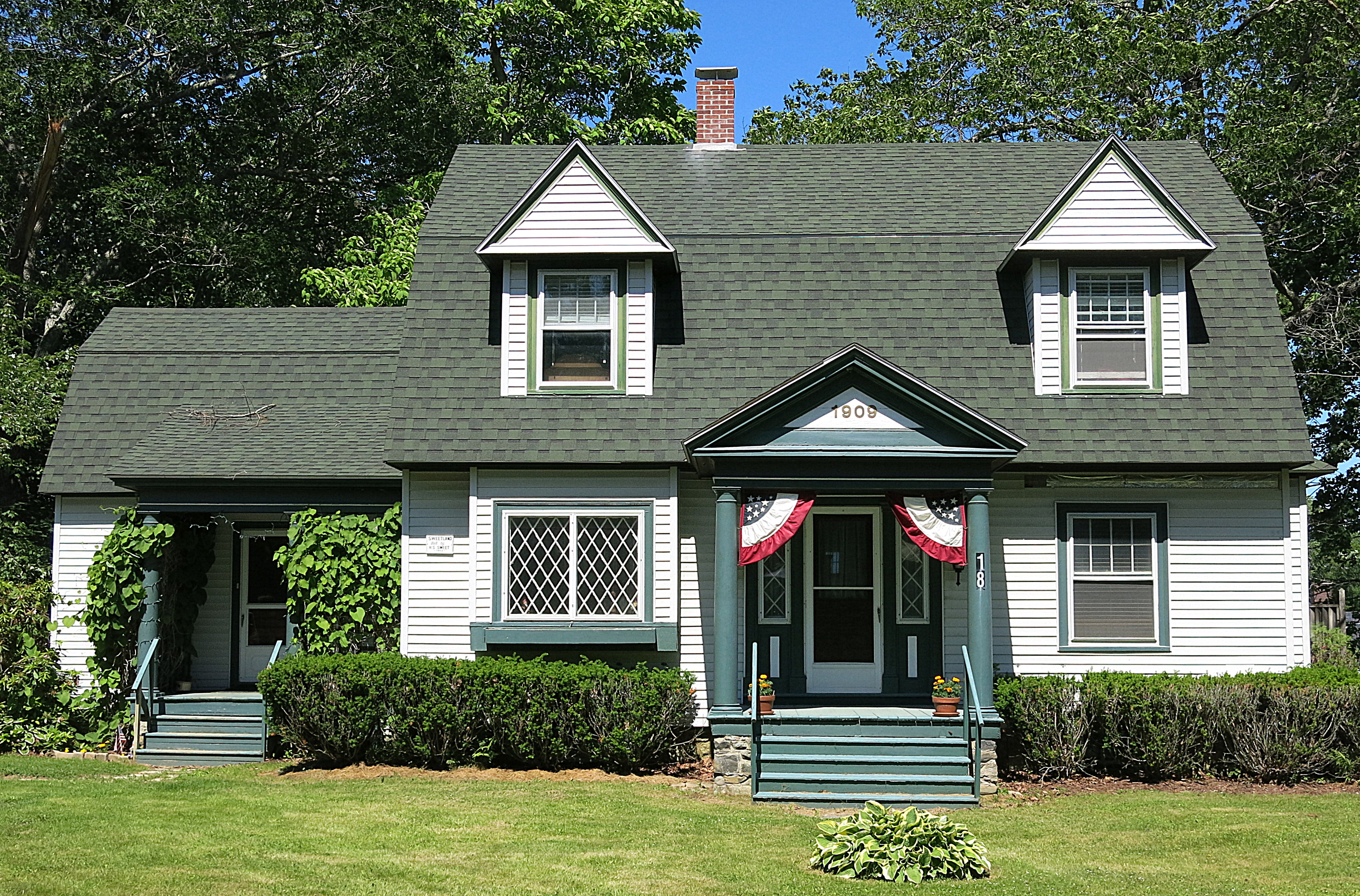
1909: A house in Blue Hill, Maine, USA

2007 277
Pretty Marsh Harbor - Acadia National Park

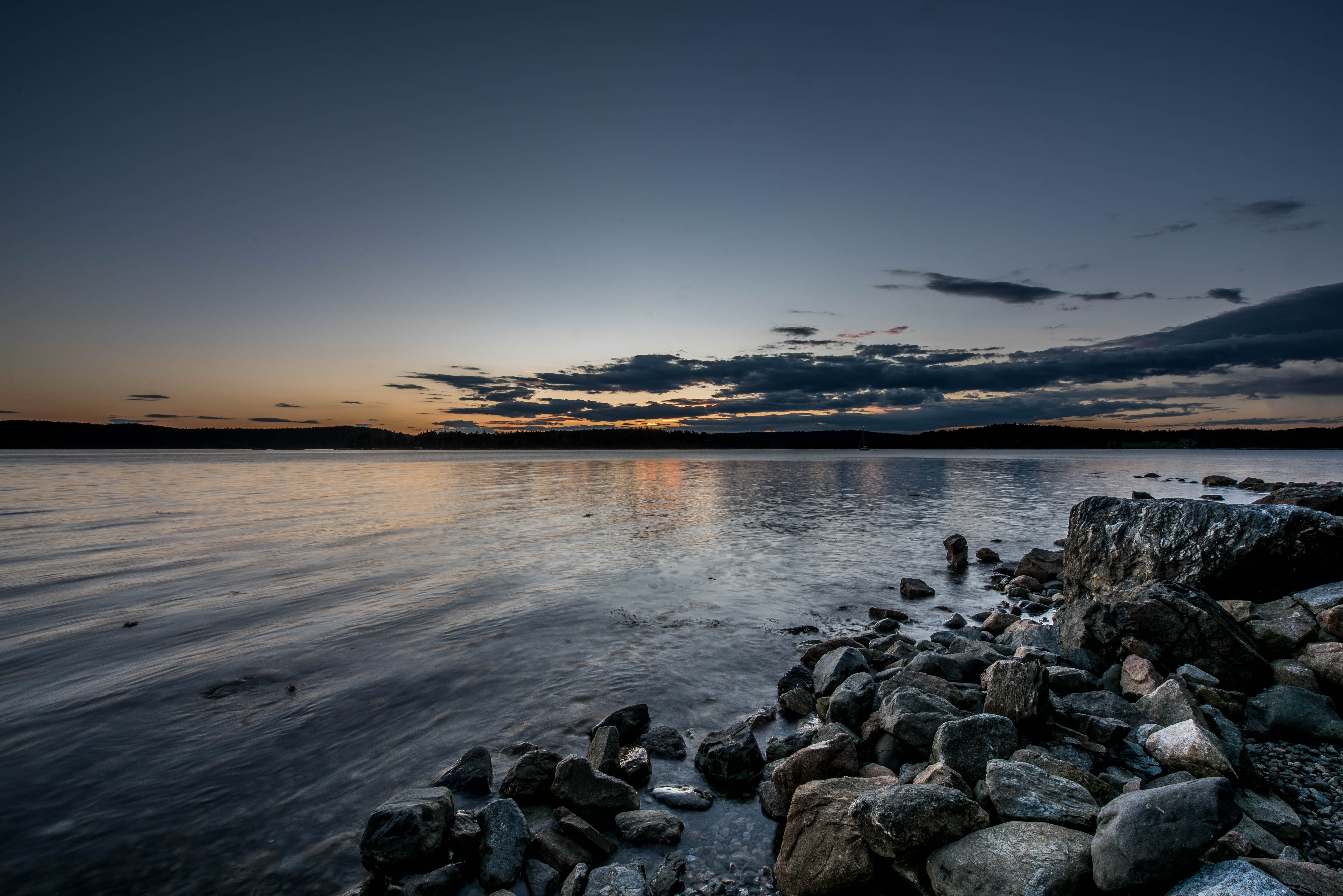
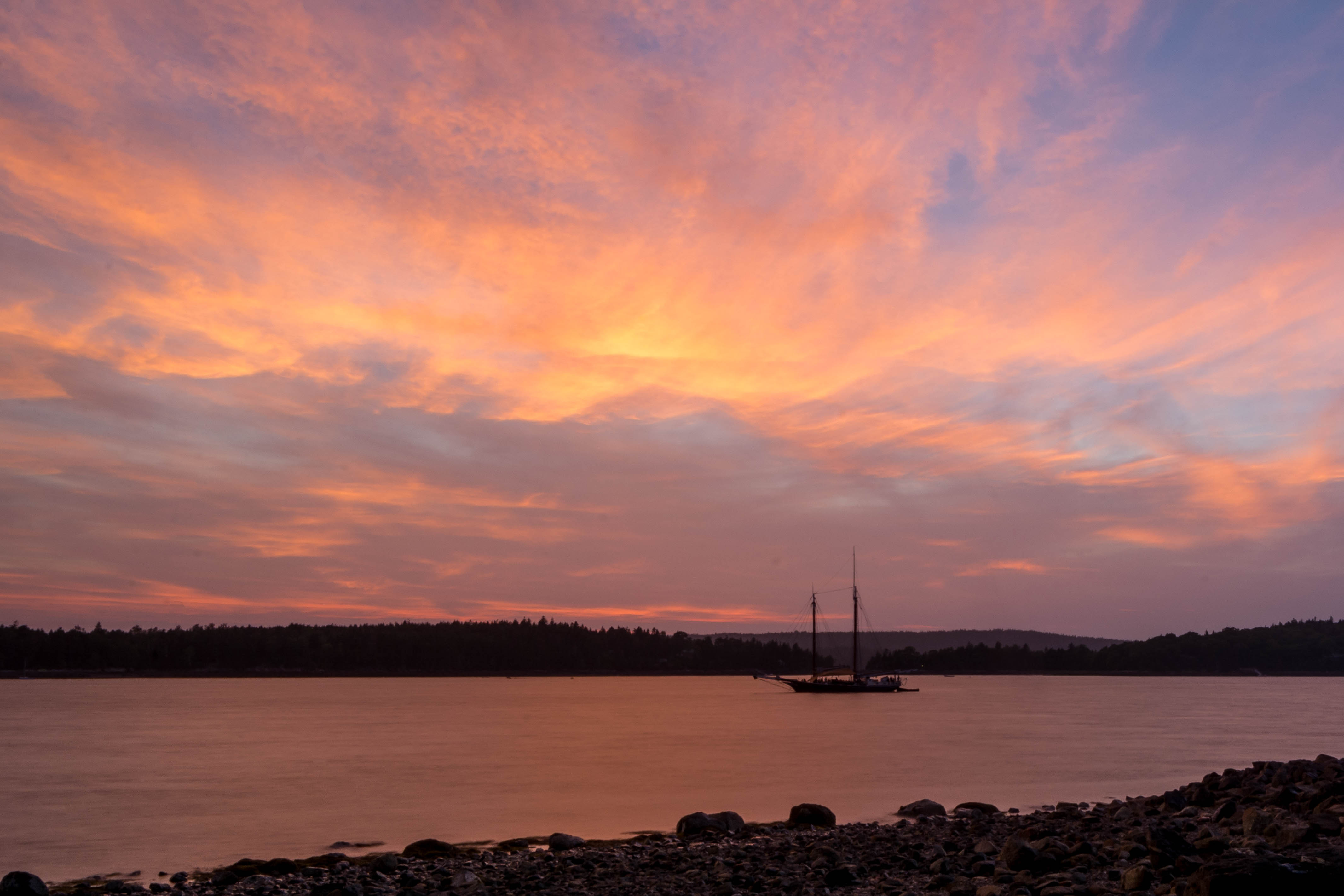
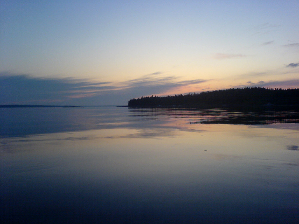
Pretty Marsh Sunset
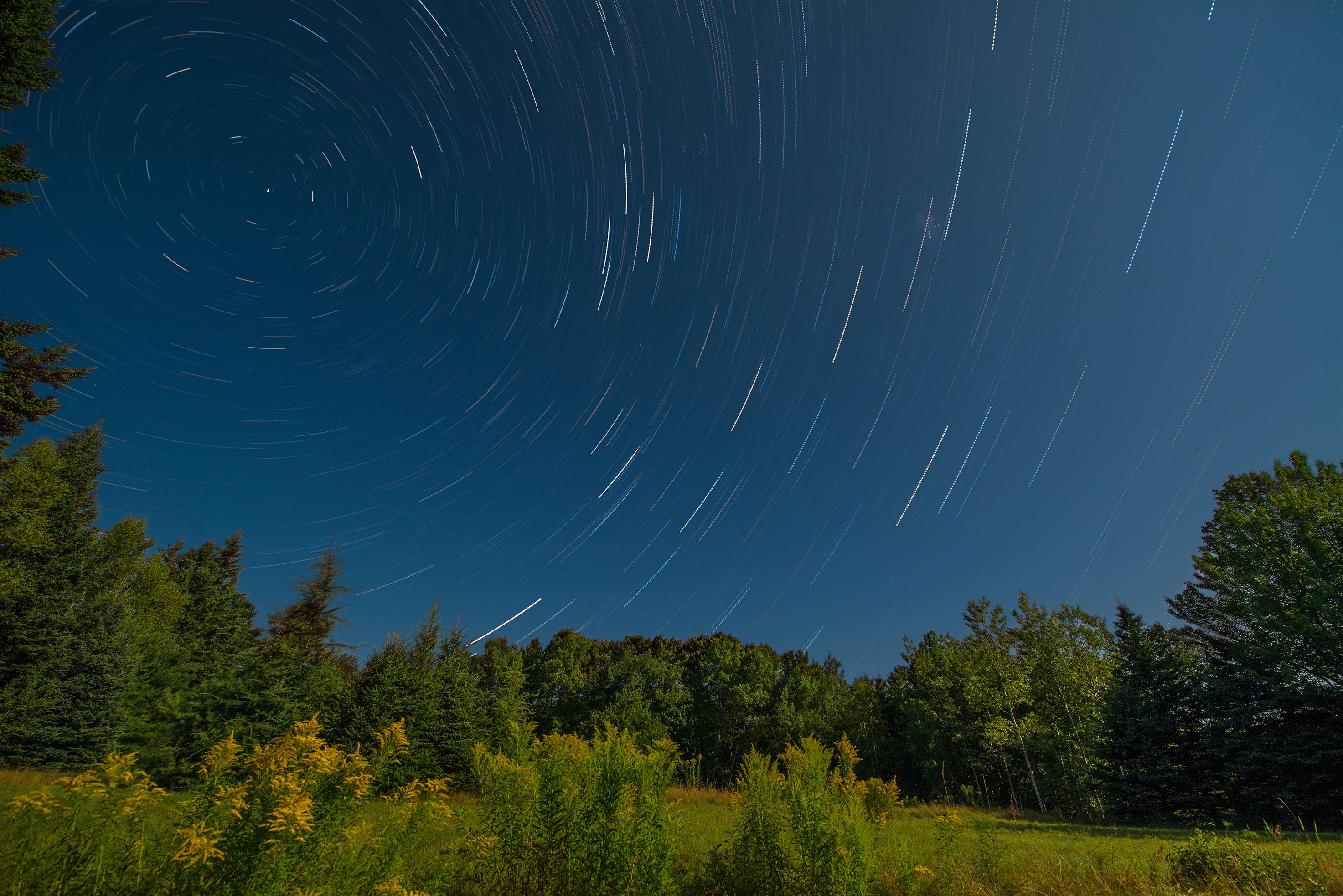
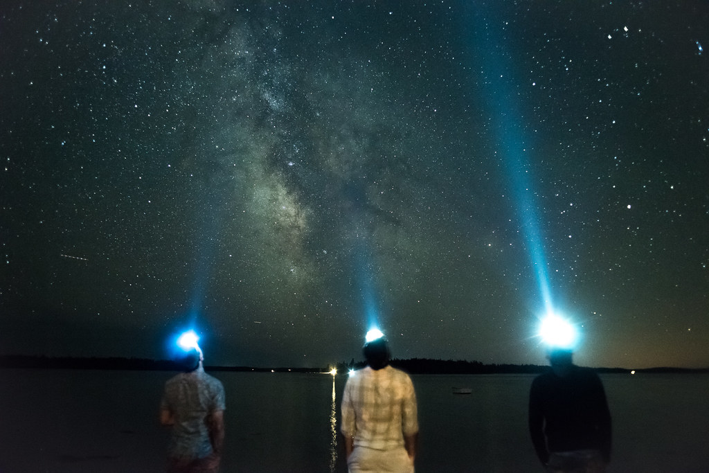
Star Trails in Maine

Almost Gone

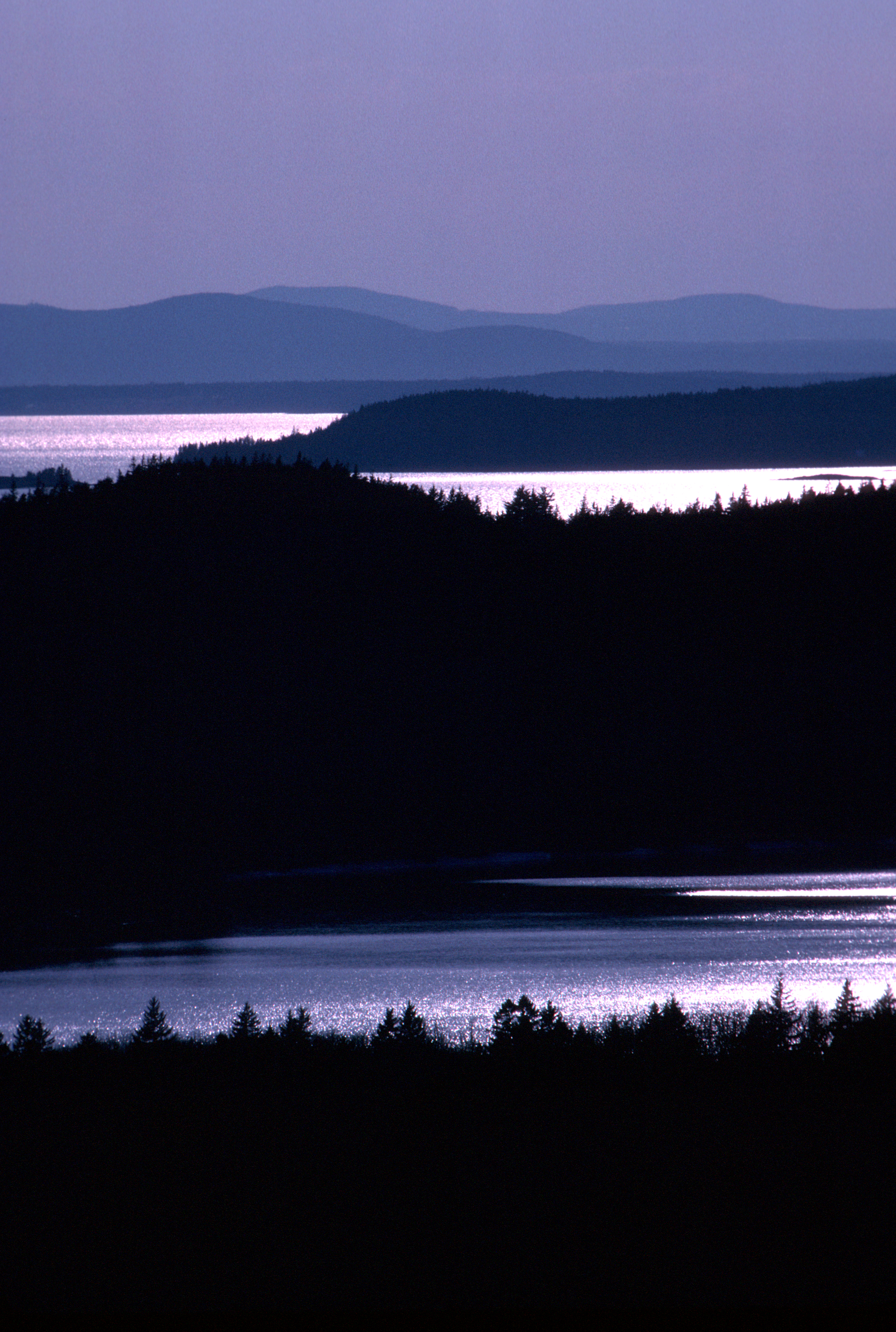
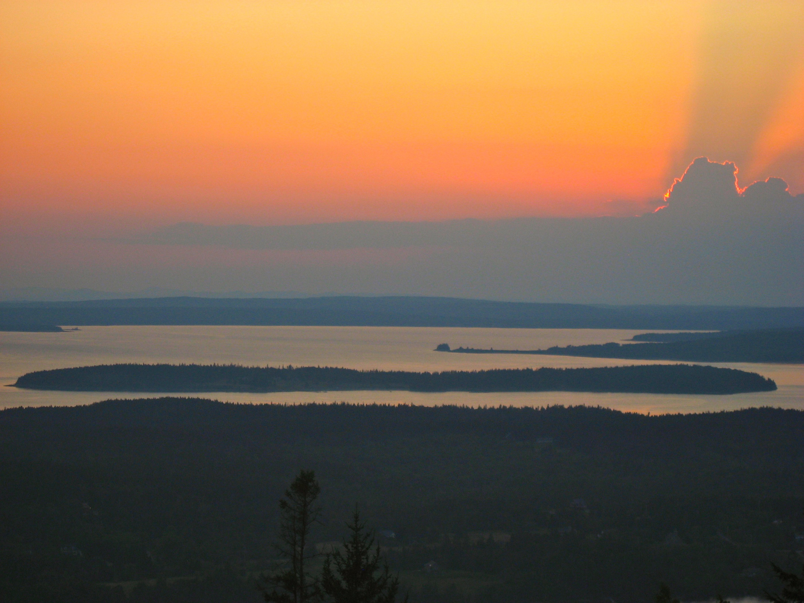
Mount Desert Island Sunset
Pretty Marsh Maine
pretty marsh harbor
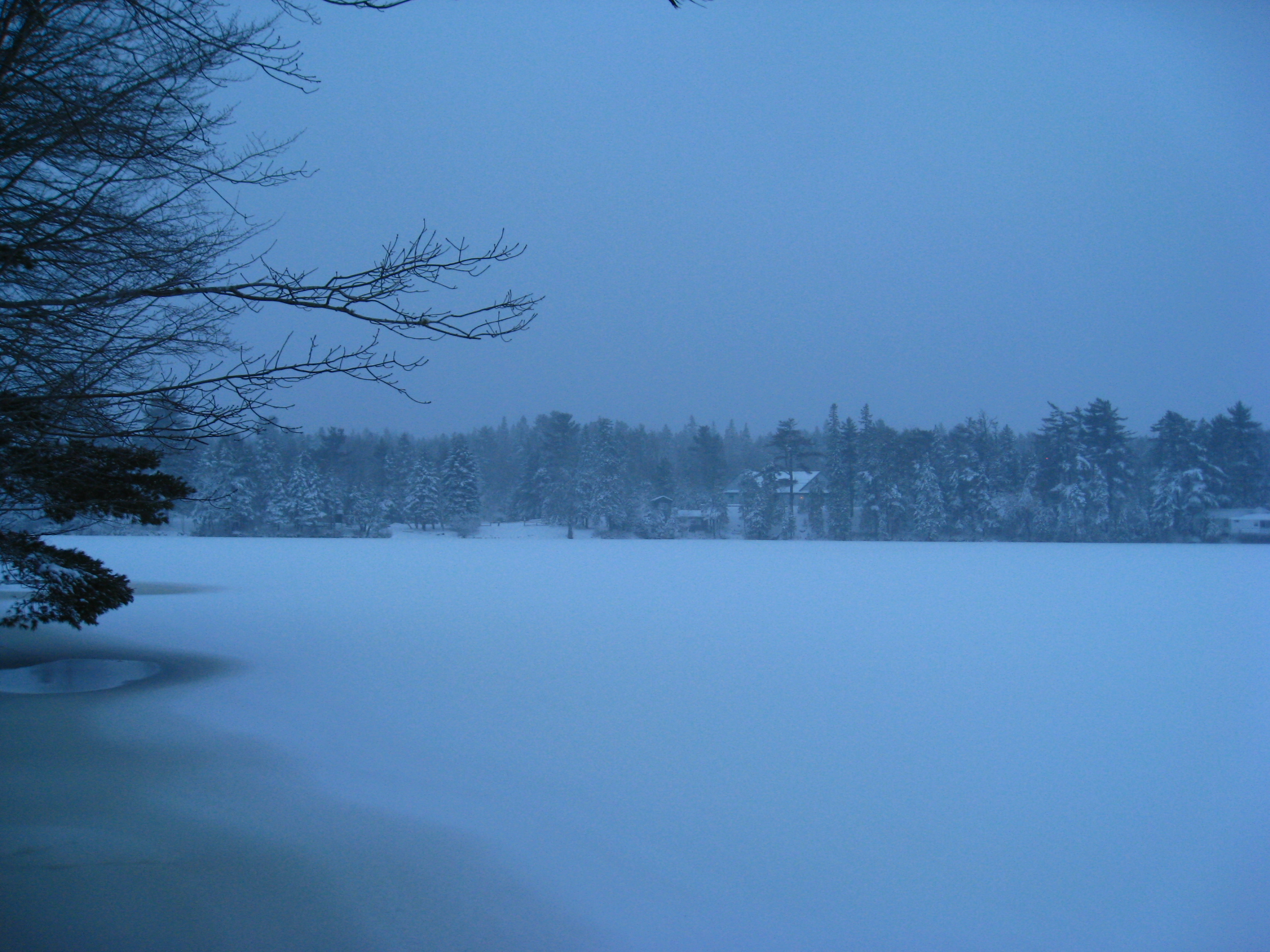
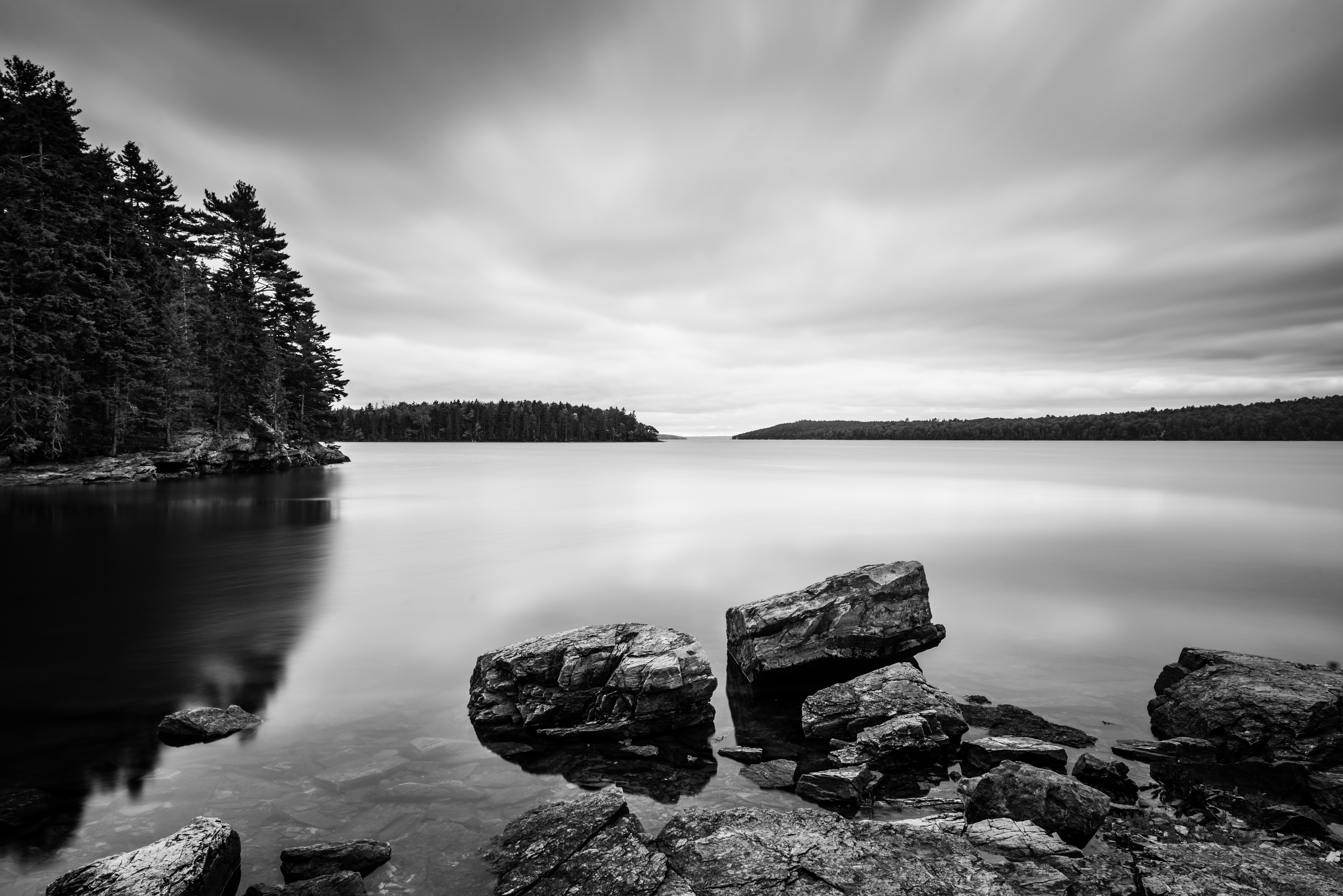
Long Pond After the Snow
E.T., Phone Hohmann
Bye Bye
Morgan Bay
FloatingSunset-1
Parkers Pond, Maine
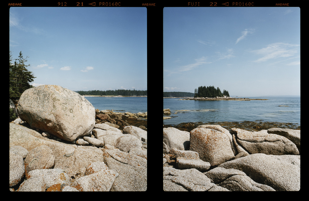
2007 277
Topographic Map of Falls Bridge Rd, Blue Hill, ME, USA
Find elevation by address:

Places near Falls Bridge Rd, Blue Hill, ME, USA:
637 Falls Bridge Rd
637 Falls Bridge Rd
637 Falls Bridge Rd
561 Falls Bridge Rd
637 Falls Bridge Rd
637 Falls Bridge Rd
637 Falls Bridge Rd
637 Falls Bridge Rd
Woods Point Road
East Blue Hill
Blue Hill Piano Service
Old Yacht Club Road
1591 Newbury Neck Rd
Newbury Neck
167 Fox Ln
Ruthie's Way
721 Morgan Bay Rd
13 Plovers Ln
18 Lupine Ln
907 Newbury Neck Rd
Recent Searches:
- Elevation of W Granada St, Tampa, FL, USA
- Elevation of Pykes Down, Ivybridge PL21 0BY, UK
- Elevation of Jalan Senandin, Lutong, Miri, Sarawak, Malaysia
- Elevation of Bilohirs'k
- Elevation of 30 Oak Lawn Dr, Barkhamsted, CT, USA
- Elevation of Luther Road, Luther Rd, Auburn, CA, USA
- Elevation of Unnamed Road, Respublika Severnaya Osetiya — Alaniya, Russia
- Elevation of Verkhny Fiagdon, North Ossetia–Alania Republic, Russia
- Elevation of F. Viola Hiway, San Rafael, Bulacan, Philippines
- Elevation of Herbage Dr, Gulfport, MS, USA