Elevation of Fairway Dr, Basye, VA, USA
Location: United States > Virginia > Shenandoah County > > Basye >
Longitude: -78.760106
Latitude: 38.8263549
Elevation: -10000m / -32808feet
Barometric Pressure: 295KPa
Elevation Map:
Satellite Map:
Related Photos:

View Of Great North Mountain From Conicville

Interior View

The view around the pond at Winchester Medical Center

The view around the pond at Winchester Medical Center

The view around the pond at Winchester Medical Center

The view around the pond at Winchester Medical Center

The view around the pond at Winchester Medical Center

View of Stream in Summer

Big Schloss View 1

Big Schloss View 3

Virginia | Edinburg

Big Schloss View 2
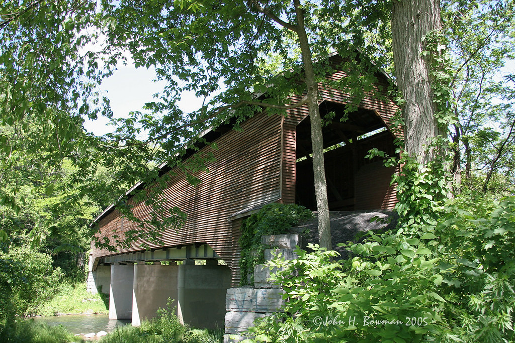
Meem's Bottom covered bridge - Virginia

Low light valley

Wine tasting with a view.

taking in the cliff view

Ridge View

View from Big Schloss Trail

Relaxed on Tibbet Knob
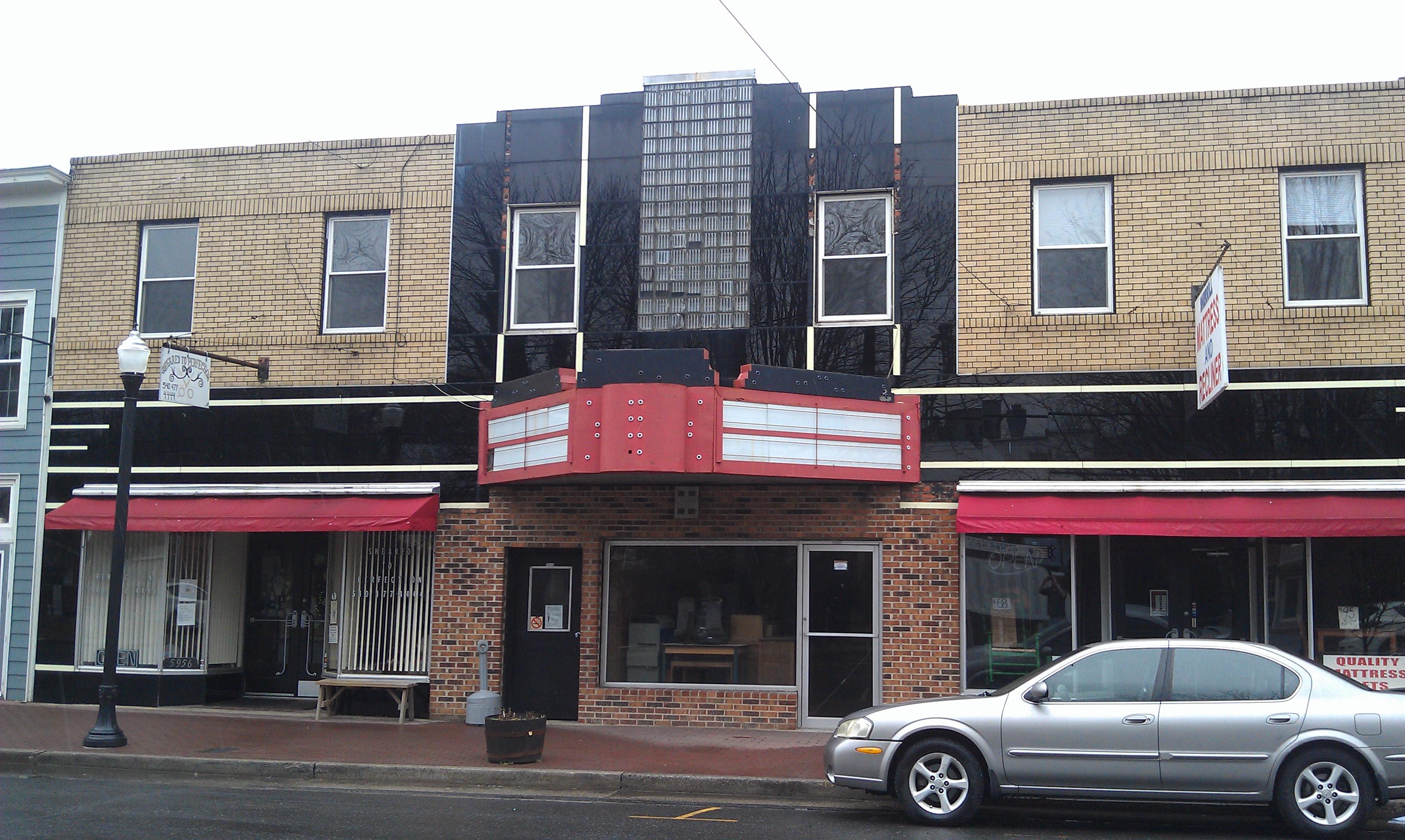
Nelson Theater- Mount Jackson VA (2)

The view around the pond at Winchester Medical Center

Shenandoah River - North Fork

Cave bacon

Shenandoah Caverns
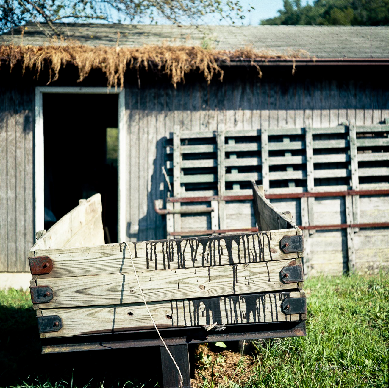
Camp Wagon. Columbia Furnace VA, August 2011

Aesthetically freezing. ❄️

Shenandoah caves

Shenandoah Caverns

Shenandoah Caverns 27

Shenandoah Caverns

Along Rt81

Shenandoah Caverns 35

Shenandoah Caverns 18

Fields of Broccoli?

Shenandoah Caverns 61

Moon Through Trees

IMG_0455.jpg

Photo Op

Virginia - Meems Bottom Covered Bridge - Mount Jackson Virginia - North Fork Shenandoah River 1995

IMG_0462.jpg
Topographic Map of Fairway Dr, Basye, VA, USA
Find elevation by address:

Places near Fairway Dr, Basye, VA, USA:
Chalet High Activity Center
573 Bogan Ln
Stony Court Timeshare Owners
Bryce Resort
22 Williams Ln
Basye
35 Connie Rd
7195 Supinlick Ridge Rd
98 Leigh Ln
51 Sarah Ln
41 Resort Dr
Grade Rd, Basye, VA, USA
154 The Hill Rd
108 Yvonne Way
Orkney Grde, Mt Jackson, VA, USA
4305 Supinlick Ridge Rd
950 Tussing Ln
487 Timber Ridge Ln
682 N Maple Rd
682 N Maple Rd
Recent Searches:
- Elevation of Kreuzburger Weg 13, Düsseldorf, Germany
- Elevation of Gateway Blvd SE, Canton, OH, USA
- Elevation of East W.T. Harris Boulevard, E W.T. Harris Blvd, Charlotte, NC, USA
- Elevation of West Sugar Creek, Charlotte, NC, USA
- Elevation of Wayland, NY, USA
- Elevation of Steadfast Ct, Daphne, AL, USA
- Elevation of Lagasgasan, X+CQH, Tiaong, Quezon, Philippines
- Elevation of Rojo Ct, Atascadero, CA, USA
- Elevation of Flagstaff Drive, Flagstaff Dr, North Carolina, USA
- Elevation of Avery Ln, Lakeland, FL, USA