Elevation of Fairfield Rd, Newland, New Zealand
Location: New Zealand > Canterbury >
Longitude: 171.856192
Latitude: -43.894819
Elevation: 83m / 272feet
Barometric Pressure: 100KPa
Elevation Map:
Satellite Map:
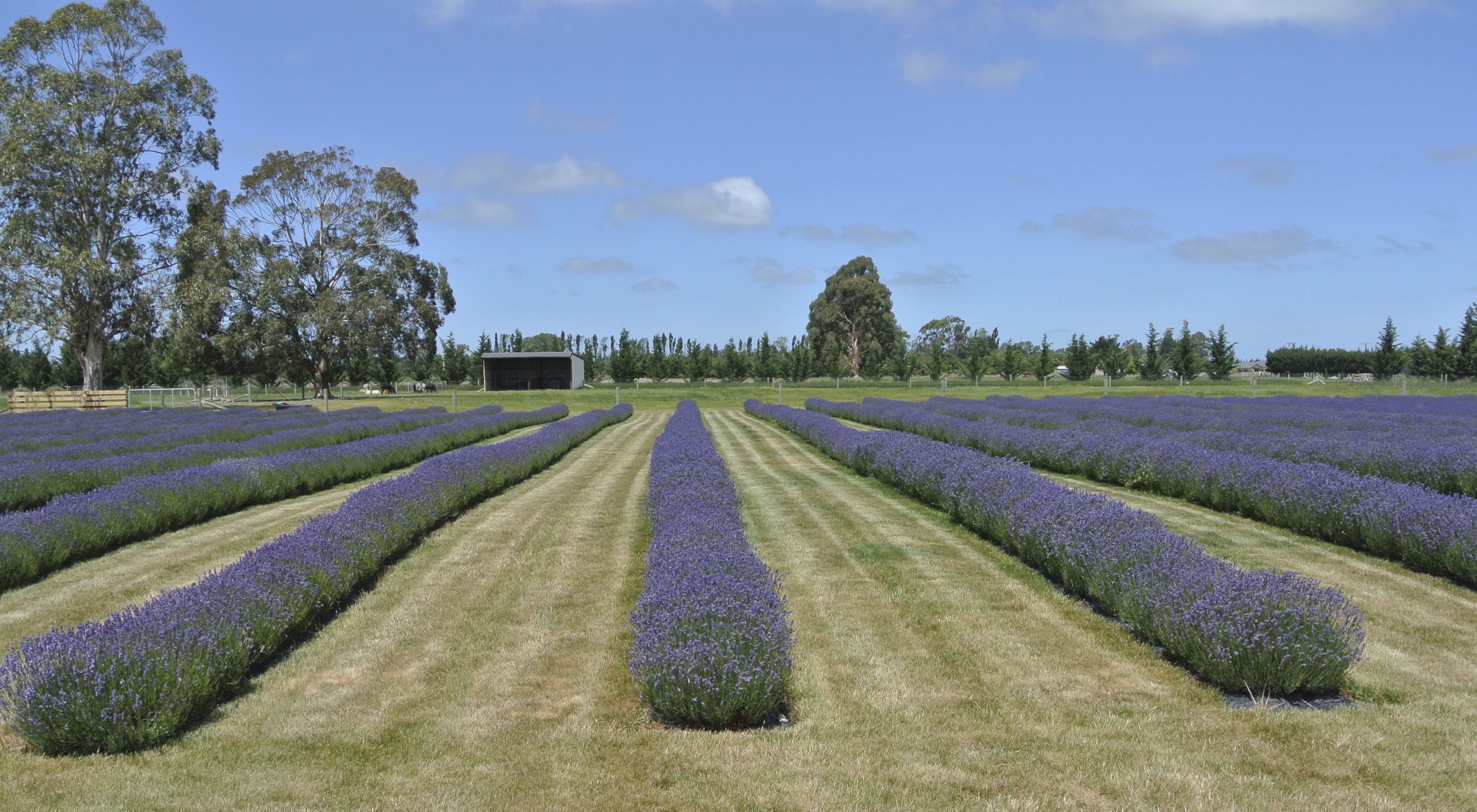
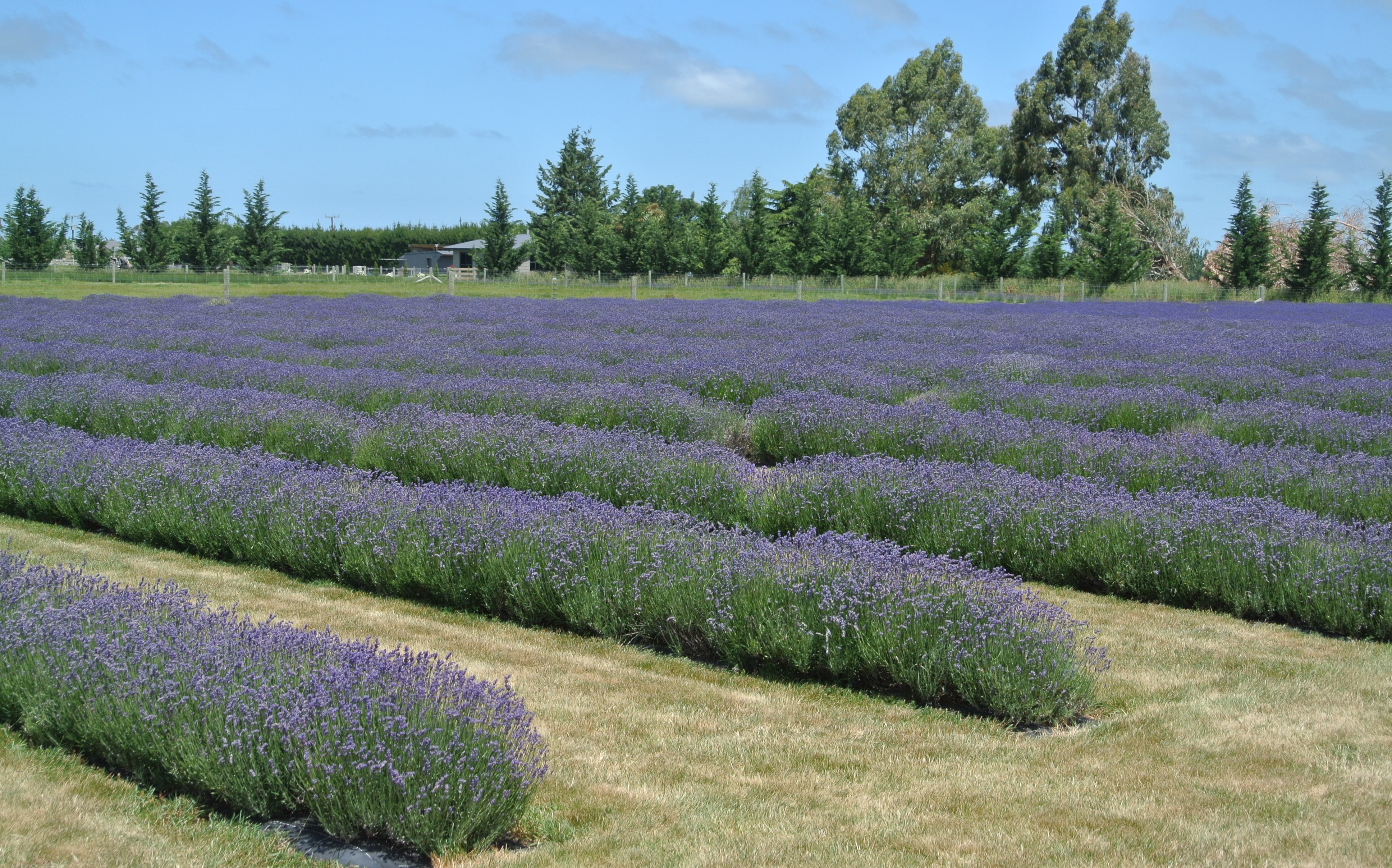
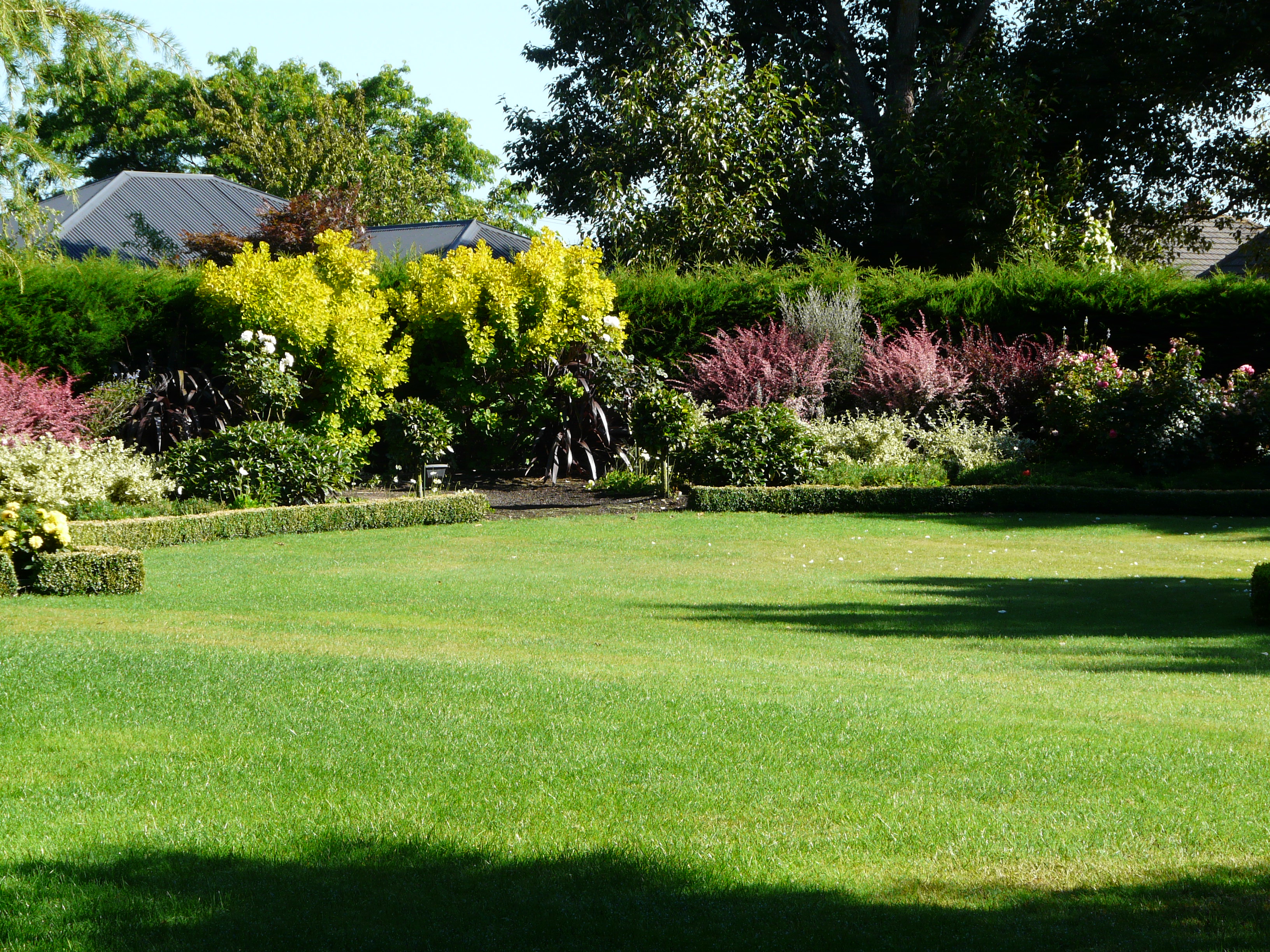
Related Photos:
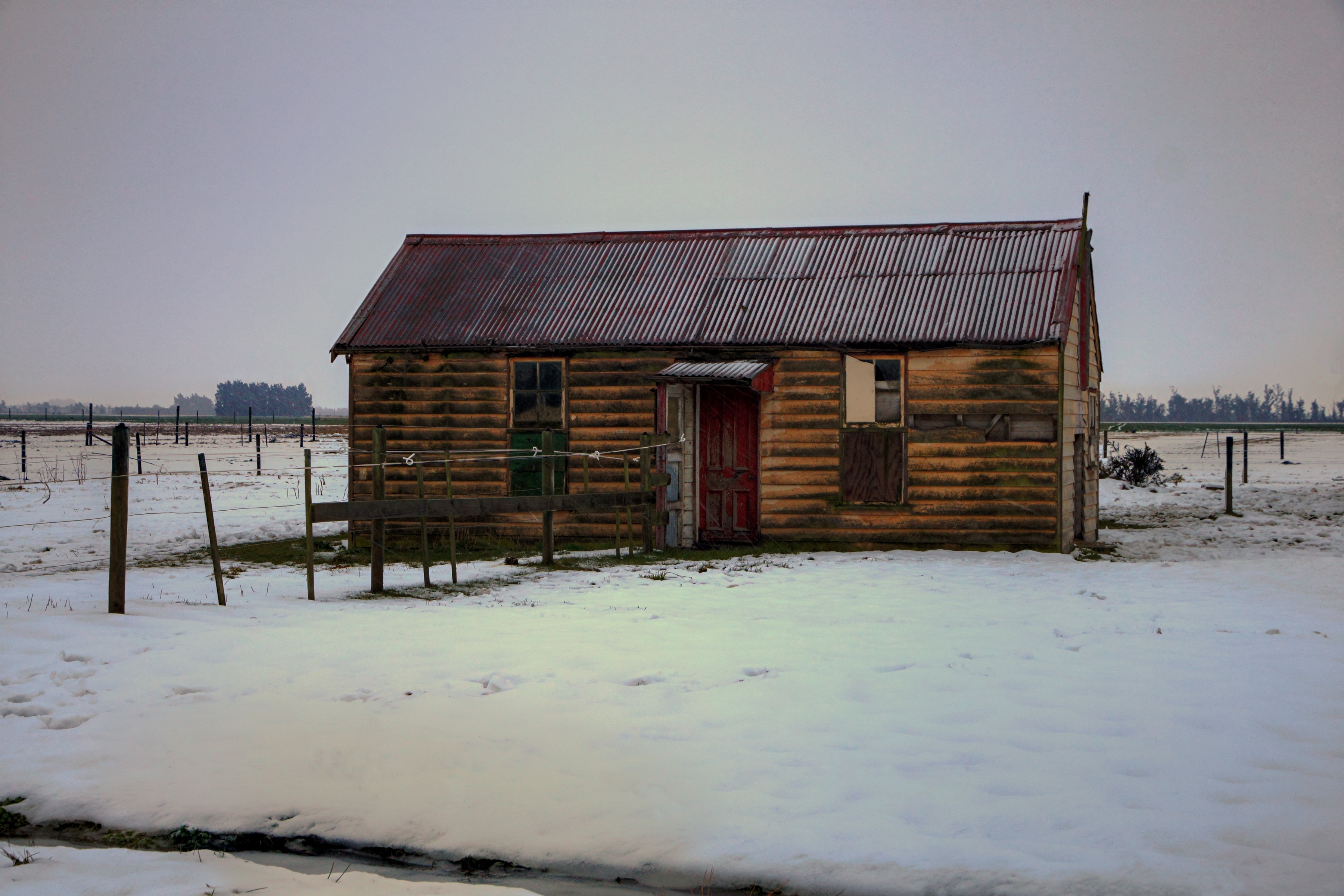
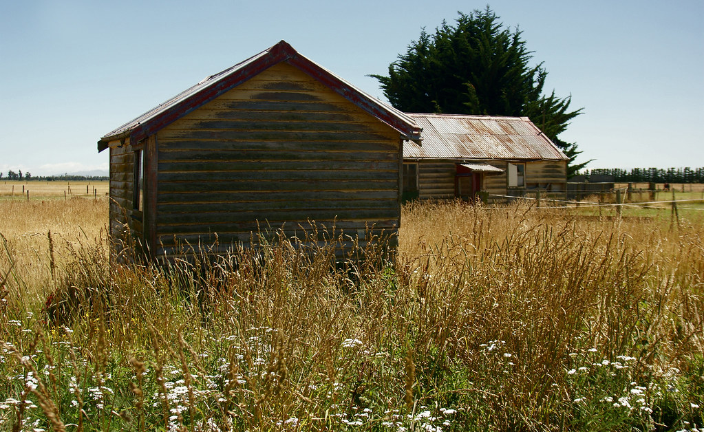
Old house, Chertsey, Rakaia district, Canterbury, New Zealand
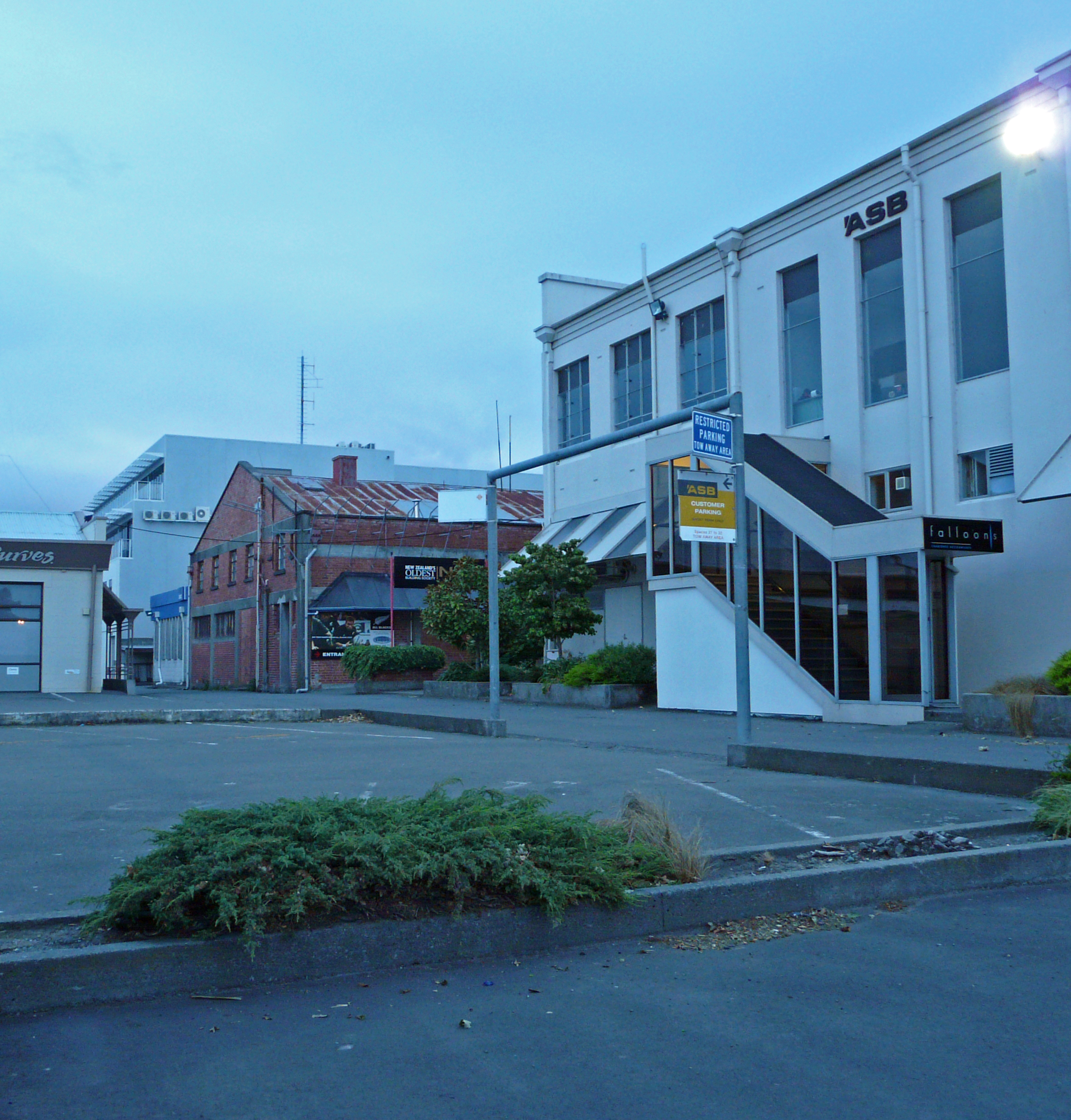
Parking, Wellington St., Ashburton, New Zealand P1240252
Straight out of the Wild West
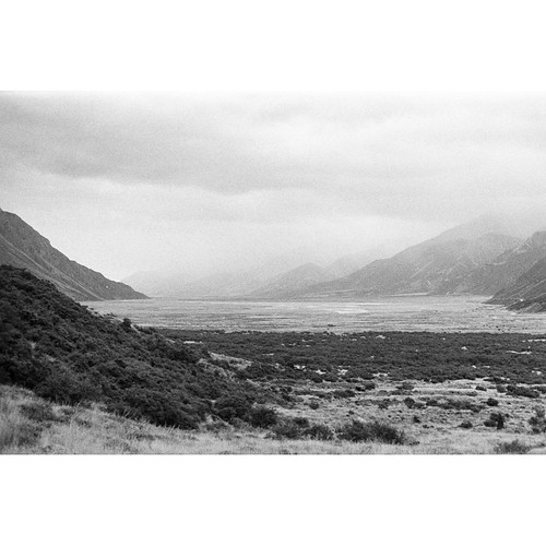
Another long-lost photo from my first trip to New Zealand in 2012. This is the view looking out over the valley from the wall up to Tasman Glacier lake. Minolta SRT-303B | 50mm f/1.4 | ILFORD HP5+ #NZ #NewZealand #NZMustDo #SouthIsland #MountCook #Mount
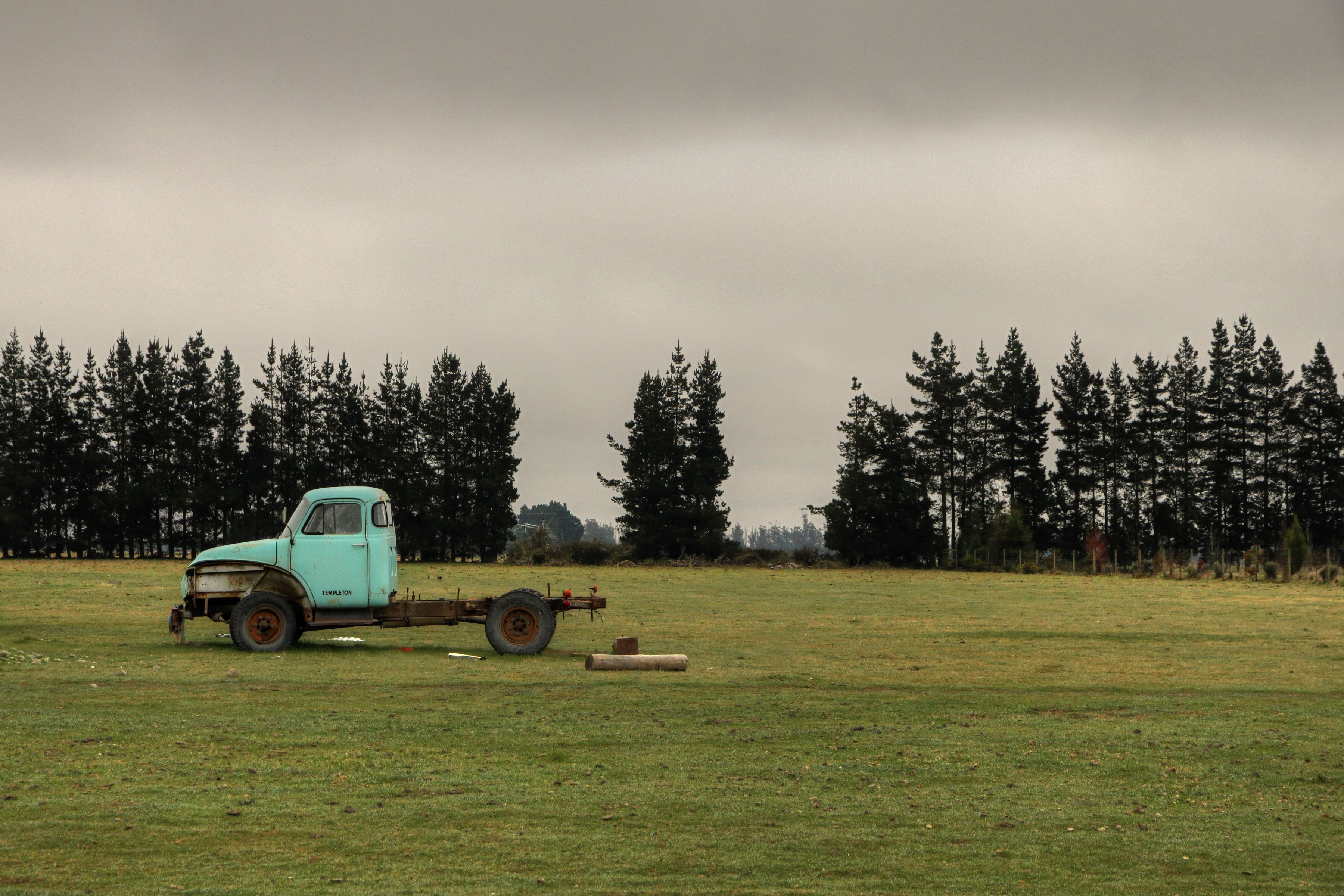
Old truck, Chertsey, Canterbury, New Zealand
Chertsey, revisited (1)
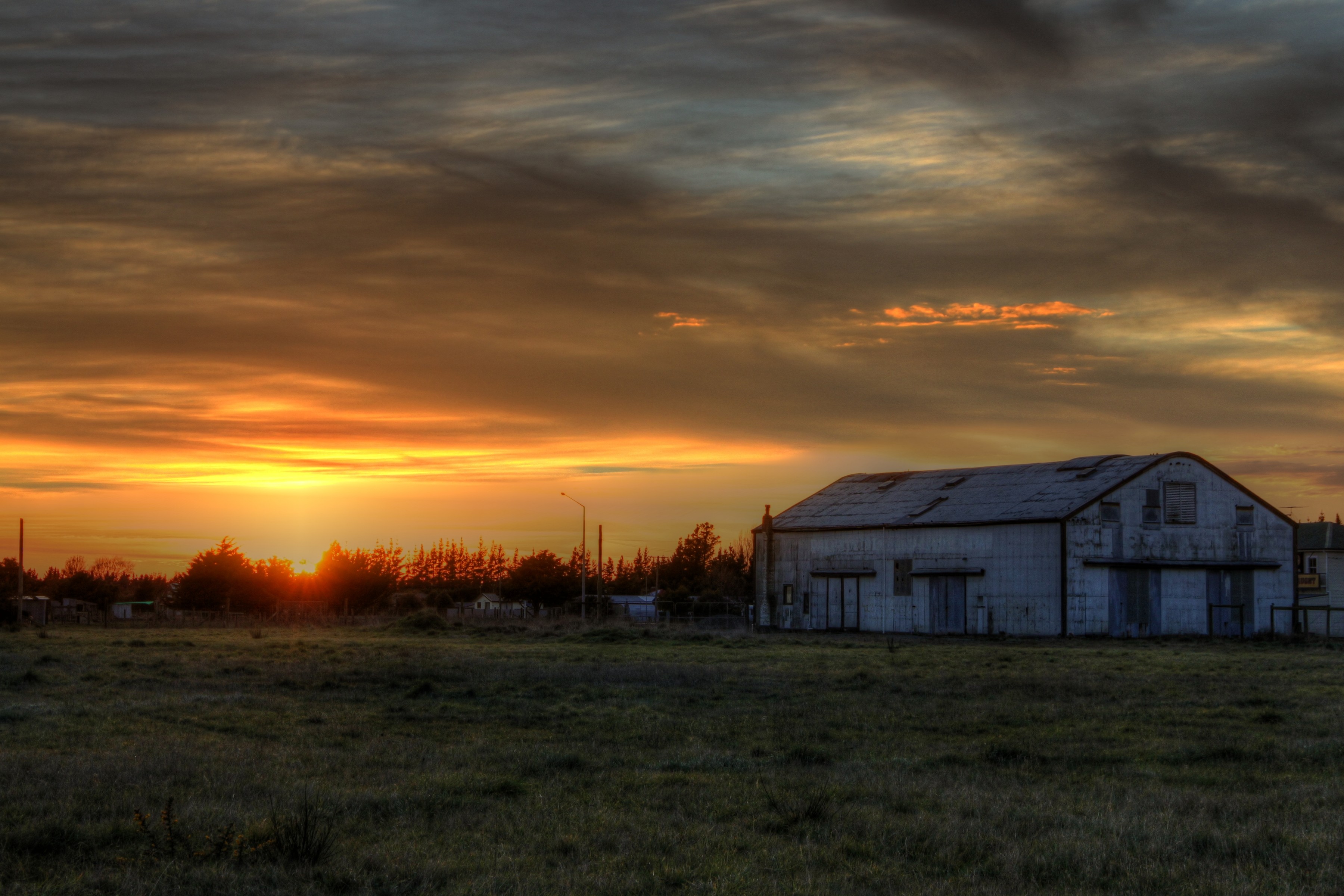
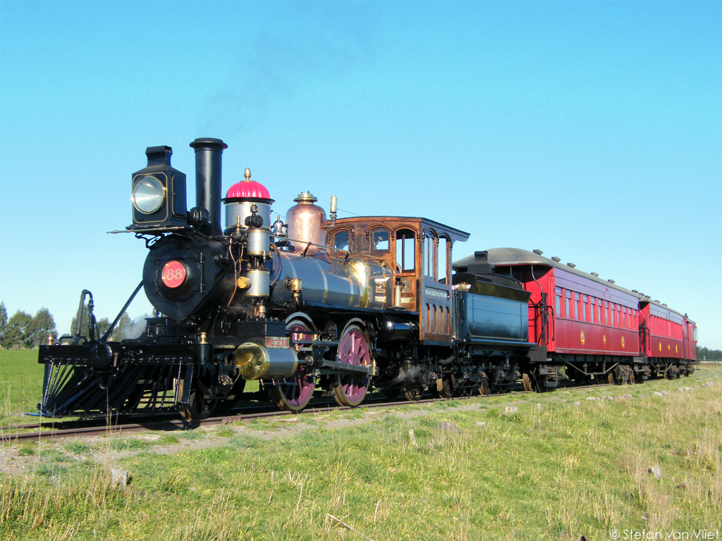
Old railway shed, Chertsey, Canterbury, New Zealand
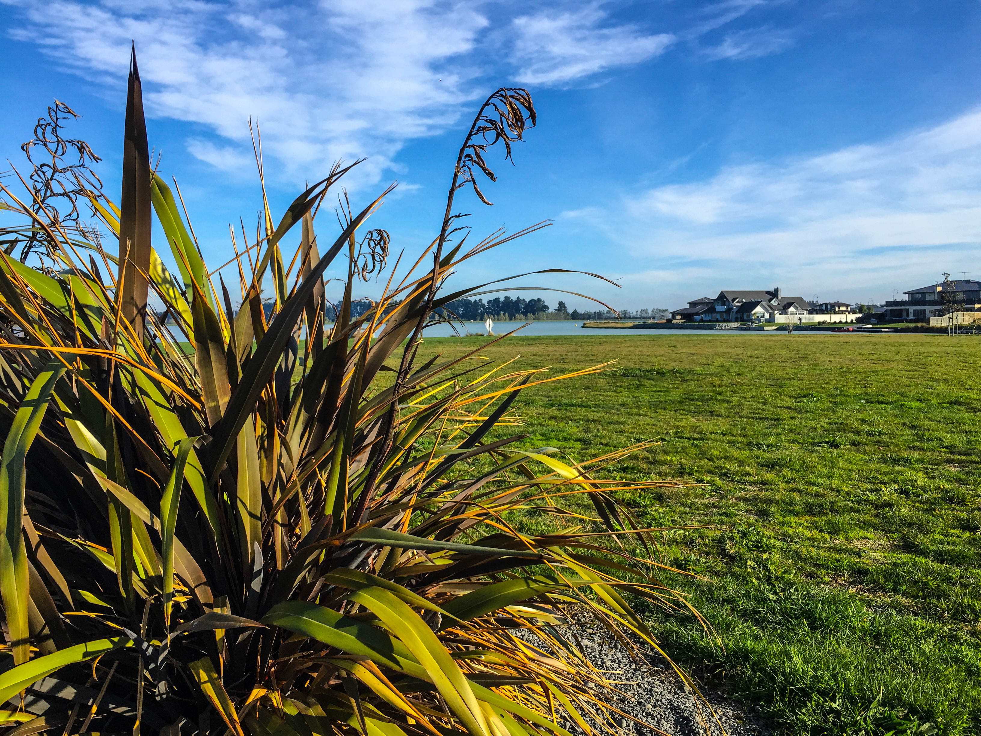
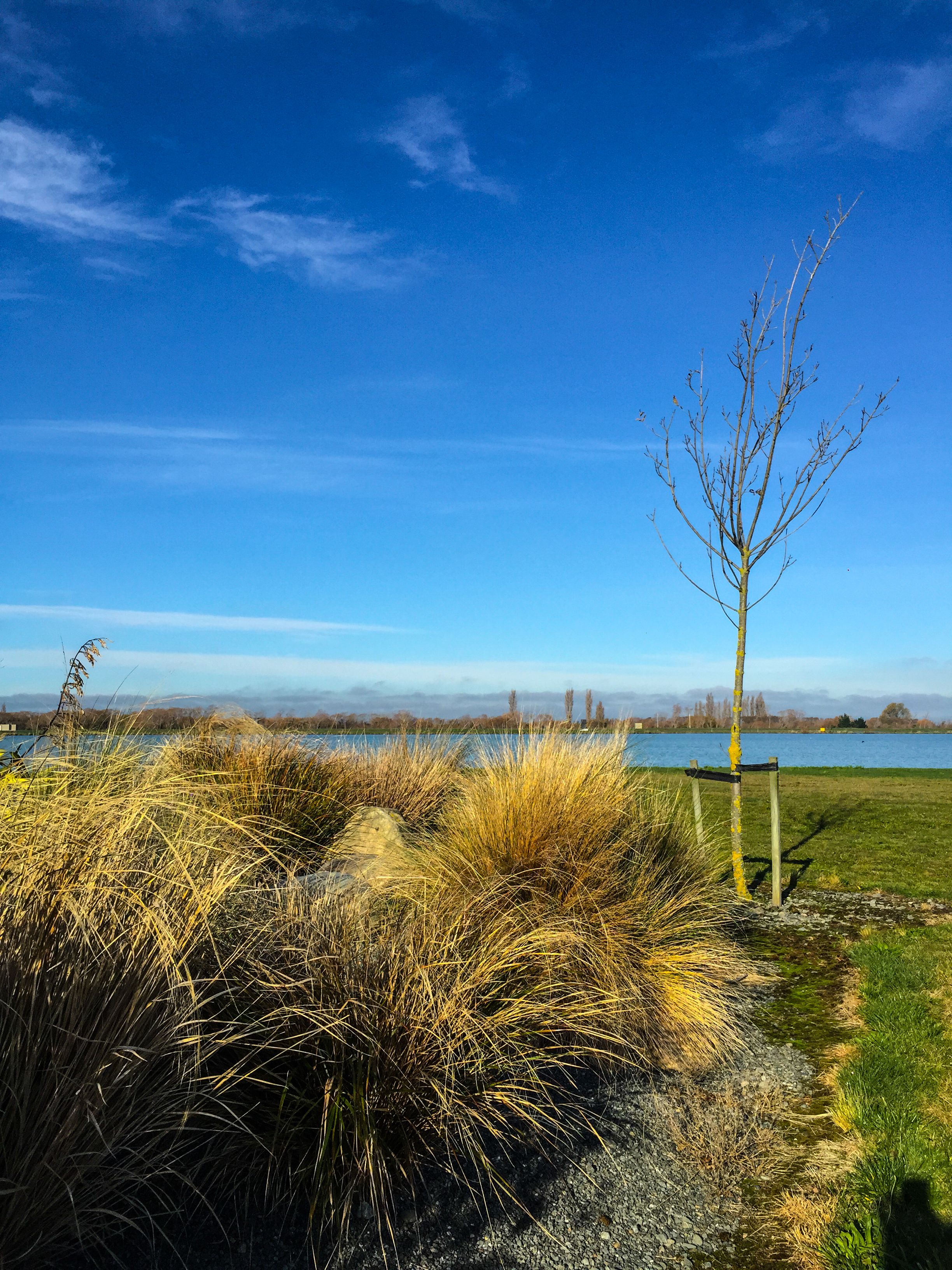
Lake Hood
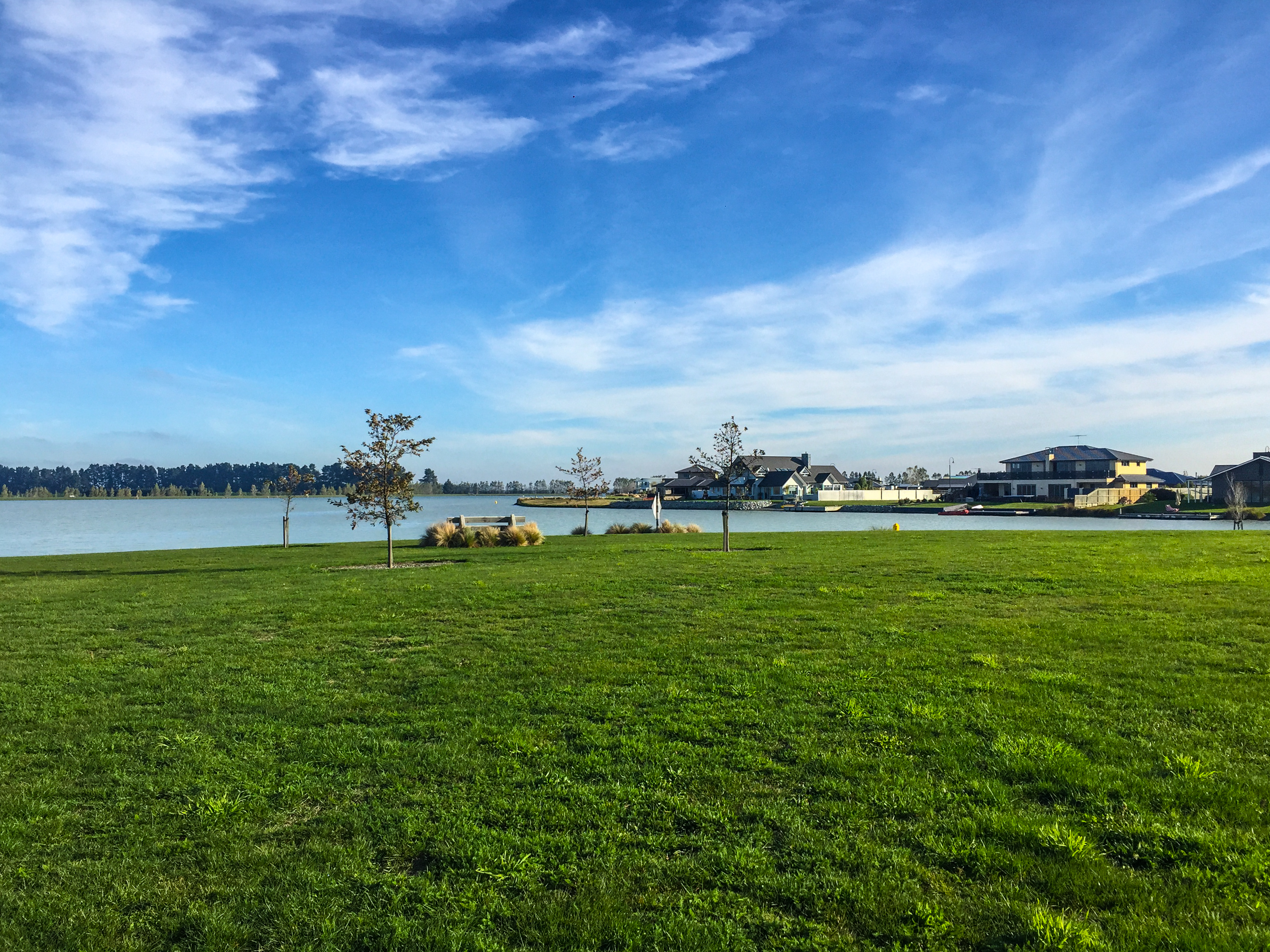
Lake Hood
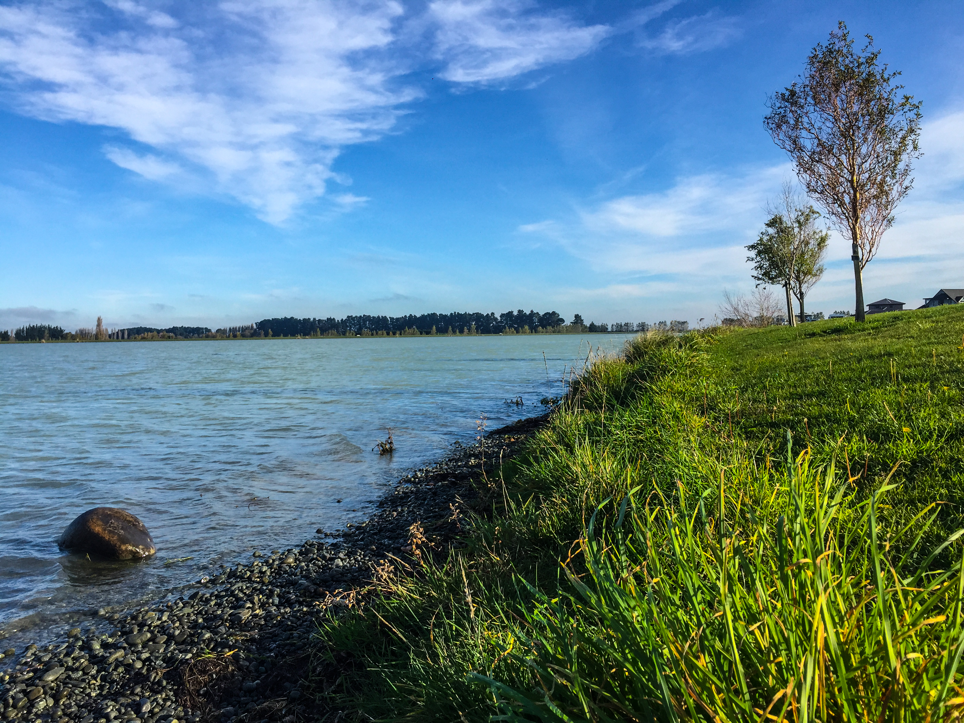
Lake Hood
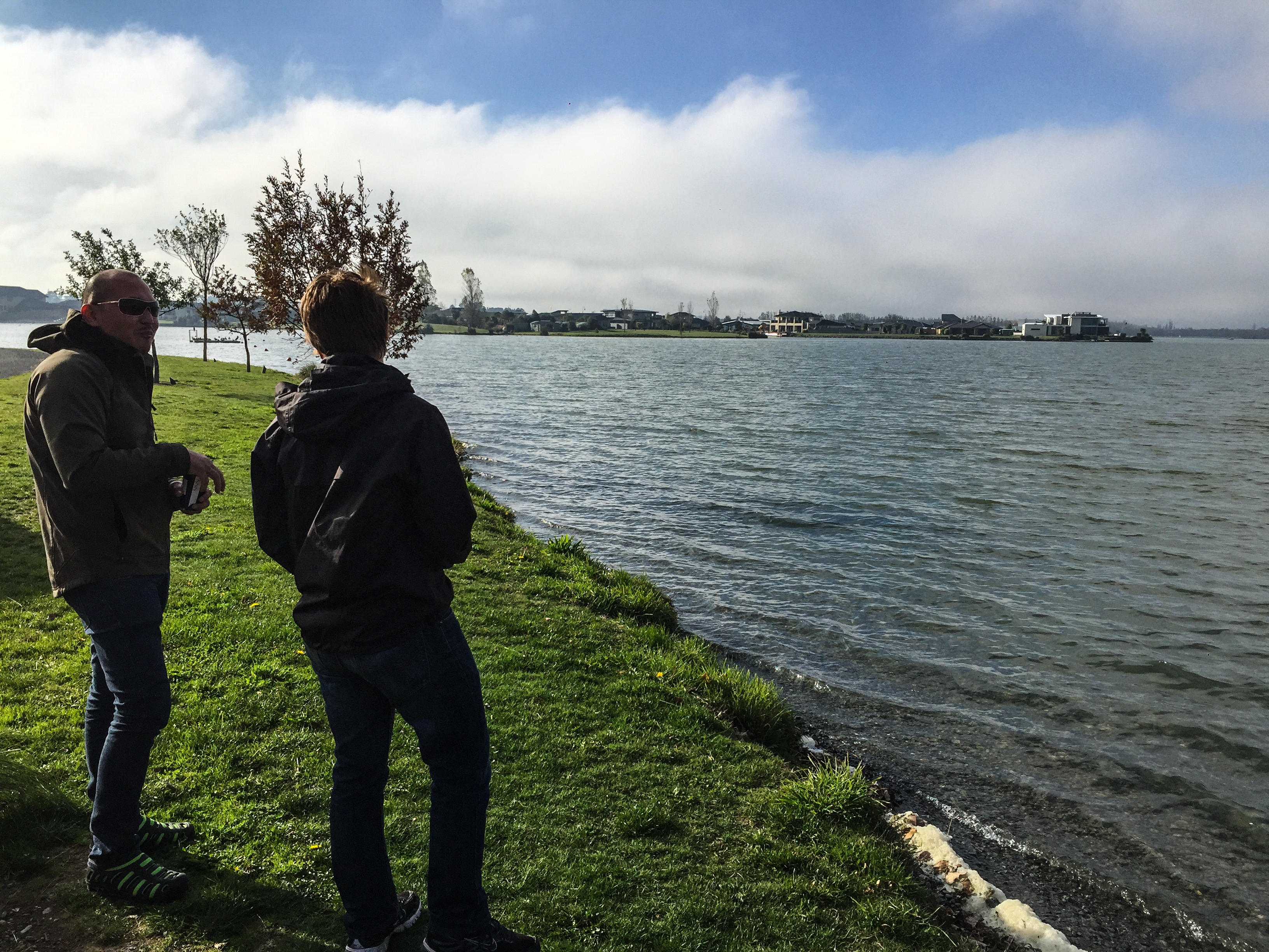
Lake Hood
Lake Hood
131201 Farmers Corner in Ashburton
Kålmark
Lake Hood
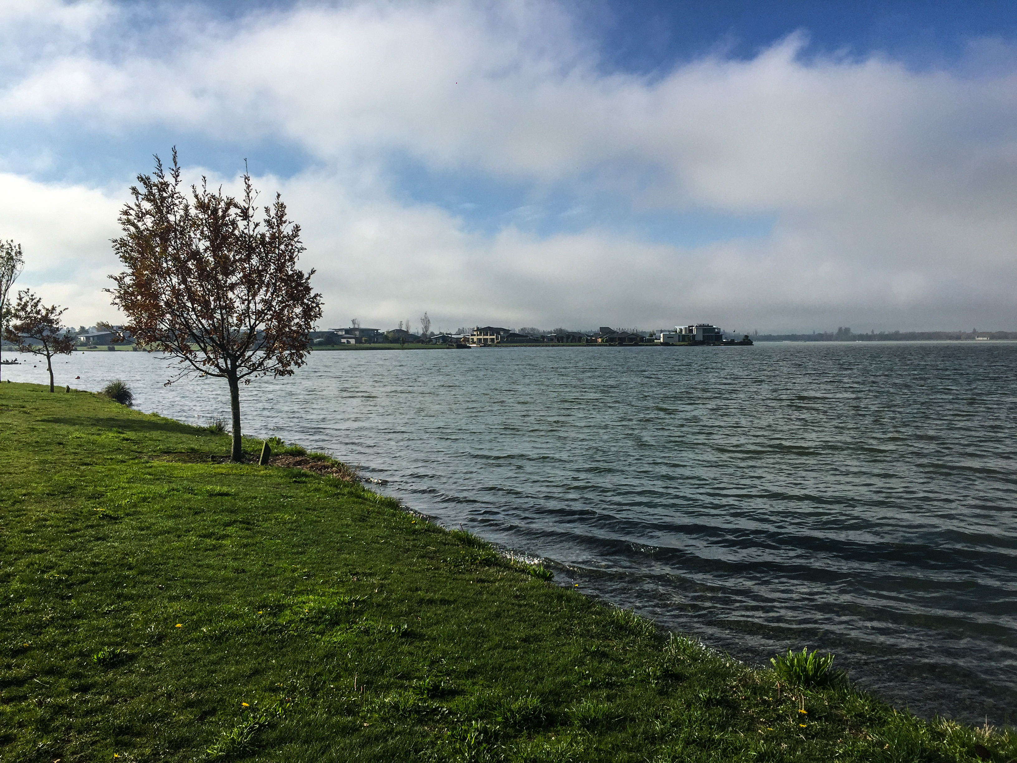
Lake Hood
131201 Farmers Corner in Ashburton
Hotel Ashburton, Ashburton, New Zealand P1240307
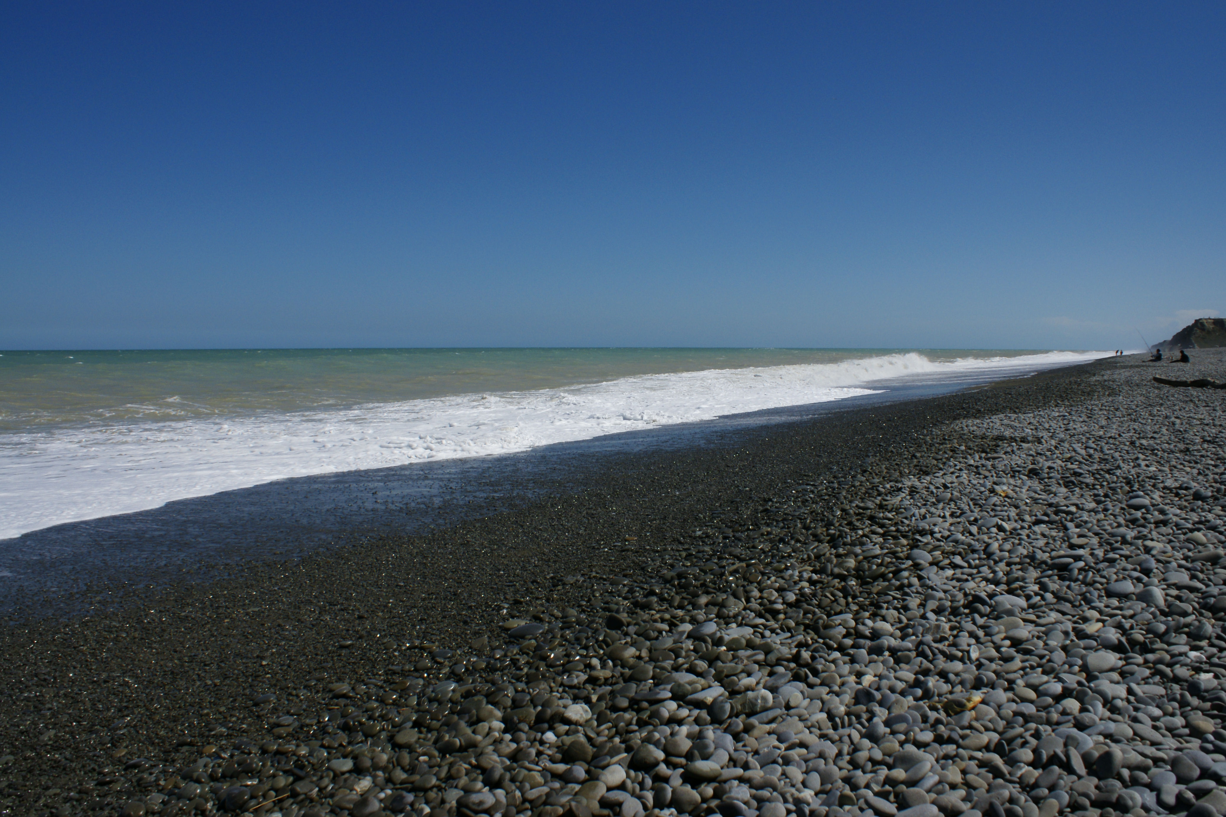
Wakanui Beach
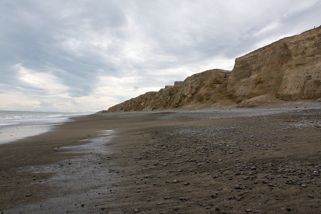
Wakanui Beach
Topographic Map of Fairfield Rd, Newland, New Zealand
Find elevation by address:

Places near Fairfield Rd, Newland, New Zealand:
Hampstead
186 South Street
Ashburton
Allens Road
Allenton
33 Alford Forest Road
100 Johnstone St
Tinwald
265 Hardys Road
253 Normanby Road
Barrhill
1 Hardys Road
Rakaia
Eiffelton
10 Oak Avenue
Poplar Road
14 Saint John Street
Southbridge
8 Taiaroa Place
15 Bridge Street
Recent Searches:
- Elevation of Zimmer Trail, Pennsylvania, USA
- Elevation of 87 Kilmartin Ave, Bristol, CT, USA
- Elevation of Honghe National Nature Reserve, QP95+PJP, Tongjiang, Heilongjiang, Jiamusi, Heilongjiang, China
- Elevation of Hercules Dr, Colorado Springs, CO, USA
- Elevation of Szlak pieszy czarny, Poland
- Elevation of Griffing Blvd, Biscayne Park, FL, USA
- Elevation of Kreuzburger Weg 13, Düsseldorf, Germany
- Elevation of Gateway Blvd SE, Canton, OH, USA
- Elevation of East W.T. Harris Boulevard, E W.T. Harris Blvd, Charlotte, NC, USA
- Elevation of West Sugar Creek, Charlotte, NC, USA