Elevation of Fairbank Lake Rd, Worthington, ON P0M 3H0, Canada
Location: Canada > Ontario > Greater Sudbury Division > Sudbury >
Longitude: -81.4595
Latitude: 46.3840999
Elevation: 235m / 771feet
Barometric Pressure: 99KPa
Elevation Map:
Satellite Map:
Related Photos:

View from our pitch
the old days...

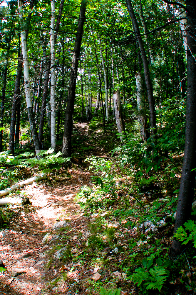
seen better days...
surrounded [18/52]
Silver Maple campground

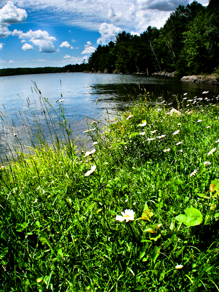
Wabagishik Lake
totten mine
dodgy walk
another blueskyed day
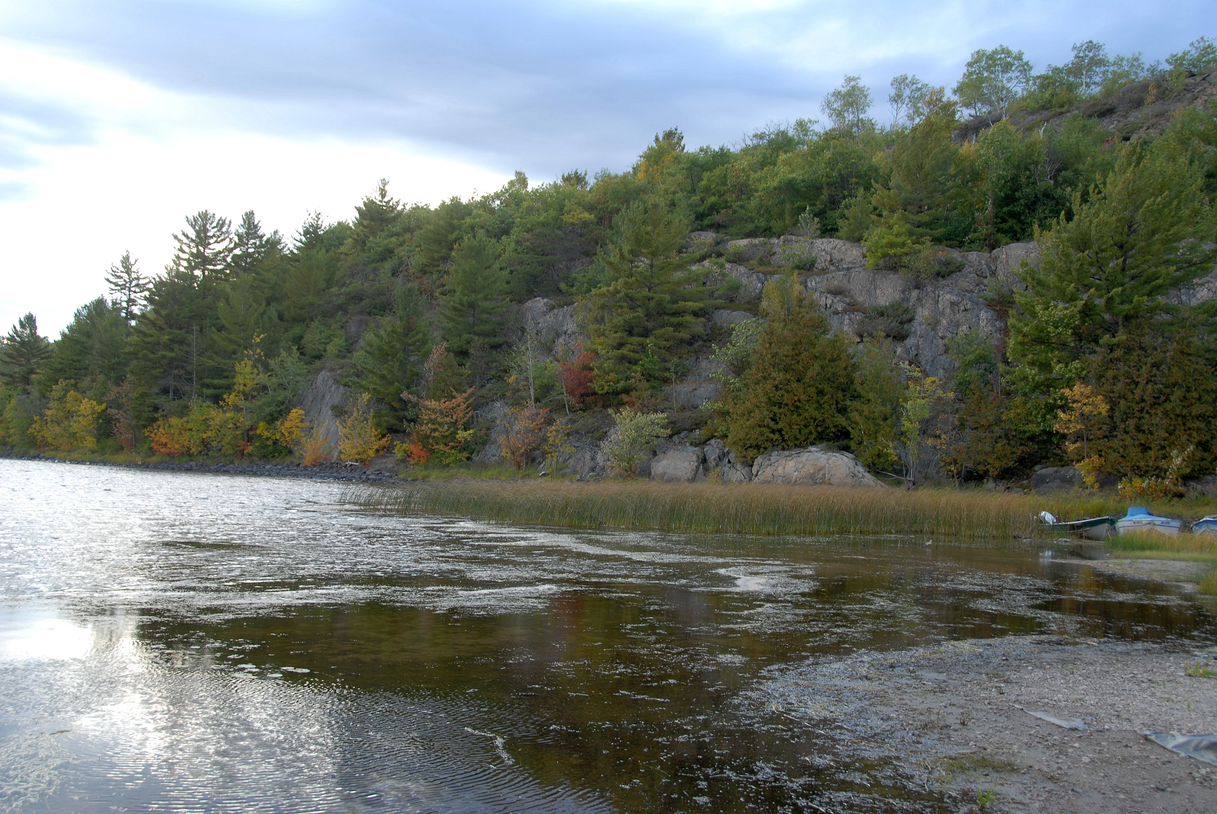
Wabagishik Lake
Topographic Map of Fairbank Lake Rd, Worthington, ON P0M 3H0, Canada
Find elevation by address:

Places near Fairbank Lake Rd, Worthington, ON P0M 3H0, Canada:
Beaver Lake
91 Panache Lake Rd
Howry Lake
Naughton
1 Mary Ave, Naughton, ON P0M 2M0, Canada
Silver Peak
O.s.a. Lake
The Crack
767 Moxam Landing Rd
George Lake
The Crack Trailhead
ON-, Killarney, ON P0P, Canada
Pinch Island
Killarney
Killarney
Killarney
Killarney
Manitoulin, Unorganized, Mainland
Trans-Canada Hwy, Killarney, ON P0M, Canada
Hartley Bay Rd, Killarney, ON P0M, Canada
Recent Searches:
- Elevation of W Granada St, Tampa, FL, USA
- Elevation of Pykes Down, Ivybridge PL21 0BY, UK
- Elevation of Jalan Senandin, Lutong, Miri, Sarawak, Malaysia
- Elevation of Bilohirs'k
- Elevation of 30 Oak Lawn Dr, Barkhamsted, CT, USA
- Elevation of Luther Road, Luther Rd, Auburn, CA, USA
- Elevation of Unnamed Road, Respublika Severnaya Osetiya — Alaniya, Russia
- Elevation of Verkhny Fiagdon, North Ossetia–Alania Republic, Russia
- Elevation of F. Viola Hiway, San Rafael, Bulacan, Philippines
- Elevation of Herbage Dr, Gulfport, MS, USA