Elevation of Everett Ct, Hayward, CA, USA

Location: United States > California > Alameda County > Hayward > Fairway Prk >

Longitude: -122.03804

Latitude: 37.619031

Elevation: 11m / 36feet

Barometric Pressure: 101KPa

Elevation Map:

elevation map of Everett Ct, Hayward, CA, USA

Satellite Map:

Satellite map of Everett Ct, Hayward, CA, USA

Related Photos:

california ford car vintage nikon icon hdr carshow vr 18200mm debasis tonemapping nikonr mywinners nikond80 platinumphoto anawesomeshot aplusphoto superbmasterpiece theperfectphotographers debasis123 newarkcarshow
Icon - vintage series
california fav50 unioncity minimalist hdr 3xp photomatix nex6 sel55210 loganstadium
Empty seats at the stadium
jetli cats kittens vet eyeproblem
Fluorescein Dye
street blue trees usa house brick green ford lamp station clouds trash dumpster truck fire graffiti 1 us am garbage escape cloudy pov pavement teal balcony c united mason parking main lot pickup grand tags engines pontiac walls states hayward hybrid hdr mostviewed1 mostviewed7 mostviewed6 mostviewed10
Dumpster's Point of View
california funny sanramon sheep ram ewe canon500d contracostacounty foresthomefarms dancingsheep blinkagain bestofblinkwinners highqualityanimals
Giddy-Up!
california winter panorama dublin storm motion black color reflection wet rain station northerncalifornia night dark nikon highway view traffic metro over bart january large panoramic transit bayarea eastbay stitched pleasanton alamedacounty 580 2016 lightstream redrain boury pbo31 d810
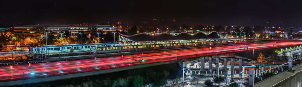
dublin / pleasanton platform in the rain
sanfrancisco bridge bay dumbarton peaceonearthorg
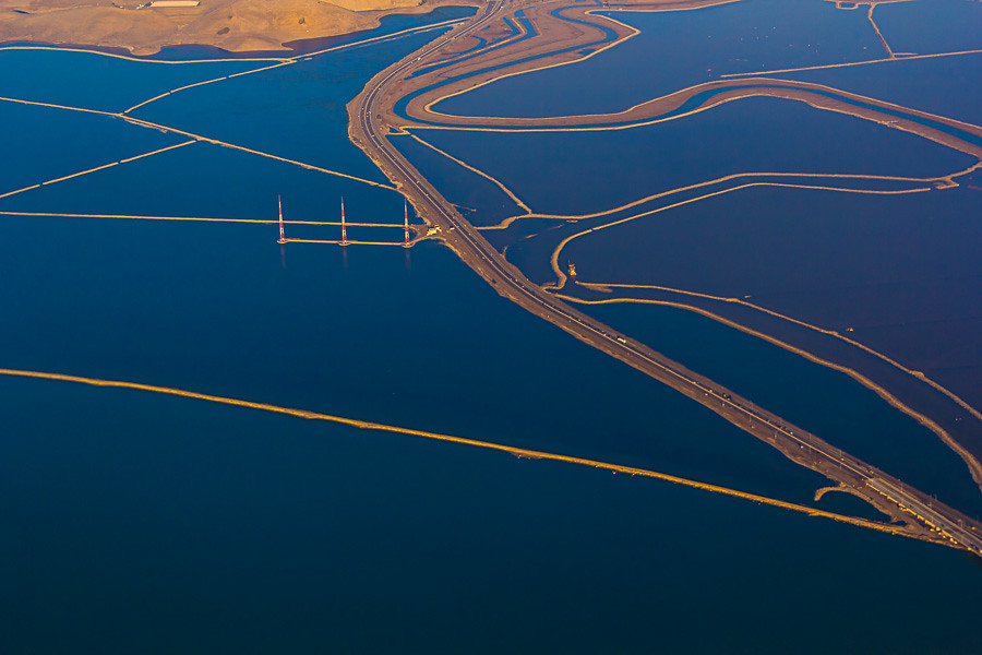
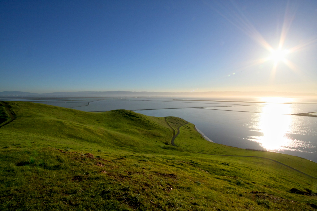
Aerial View of San Francisco Bay
sanfrancisco california park travel viaje usa nature northerncalifornia america trekking landscape photography oakland berkeley travels hiking earth lifestyle paisaje fremont trail sanfranciscobayarea bayarea viagem northamerica siliconvalley eastbay norcal traveling westcoast senderismo wandern usgs passeio sfbay alamedacounty westoakland missionpeak estadosunidos sanpancho ohlone eeuu regionalpark californien landscapephotography monumentpeak mountallison trailing eastbayregionalparkdistrict californiastate ארצותהברית ohlonecollege unitedstatesgeologicalsurvey landschaftsfotografie missionpeakregionalpreserve peaktrail patikointi калифорния étatsunis californiacoastrange regionalpreserve hiddenvalleytrail peakmeadowtrail californië landskapsfotografi randonnéepédestre hoakỳ соединённыештатыамерики krajinskafotografija fotografíadepaisaje missionpeeker đibộđườngdài пешеходныйтуризм
Mission Peak Regional Park, Fremont, California USA
california apple northerncalifornia cali plane airplane fly phone sfo aircraft altitude telephone flight wing jet cellphone cell aerial nightflight mobilephone redeye windowview norcal gps happyholidays merrychristmas flugzeug takeoff avión aereo airliner avion windowseat kalifornien californie usairways iphone vliegtuig самолет airplanewing sanfranciscointernationalairport 飛行機 aéreo ksfo sanfranciscoairport jetwing 飛機 internationalterminal awyren 加州 カリフォルニア αεροπλάνο 비행기 californië intlairport aério πτερόν appleiphone iphone5 sfia takenwithaniphone калифорния كاليفورنيا 캘리포니아 καλιφόρνια iphonecapture λεπίδοσ internationalairport‎ backcamera iphone5capture
#USAirways flight to #Charlotte, #NorthCarolina / #CLT / #CharlotteDouglasInternationalAirport
california ca usa mountain mountains landscape us view unitedstates over aerial calif hills cal diablo hayward northern range ilobsterit
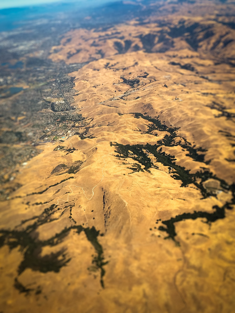
Aerial view of the Diablo mountain range over California
california ca usa mountain mountains landscape oakland bay us view unitedstates over aerial calif east hills cal suburbs hayward northern range haywood ilobsterit
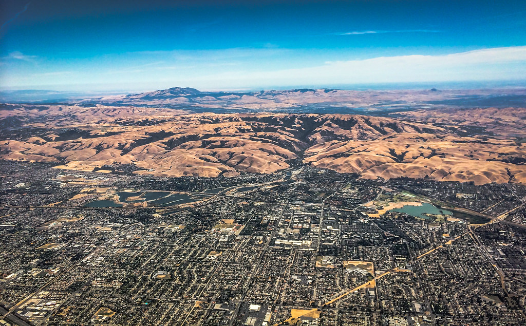
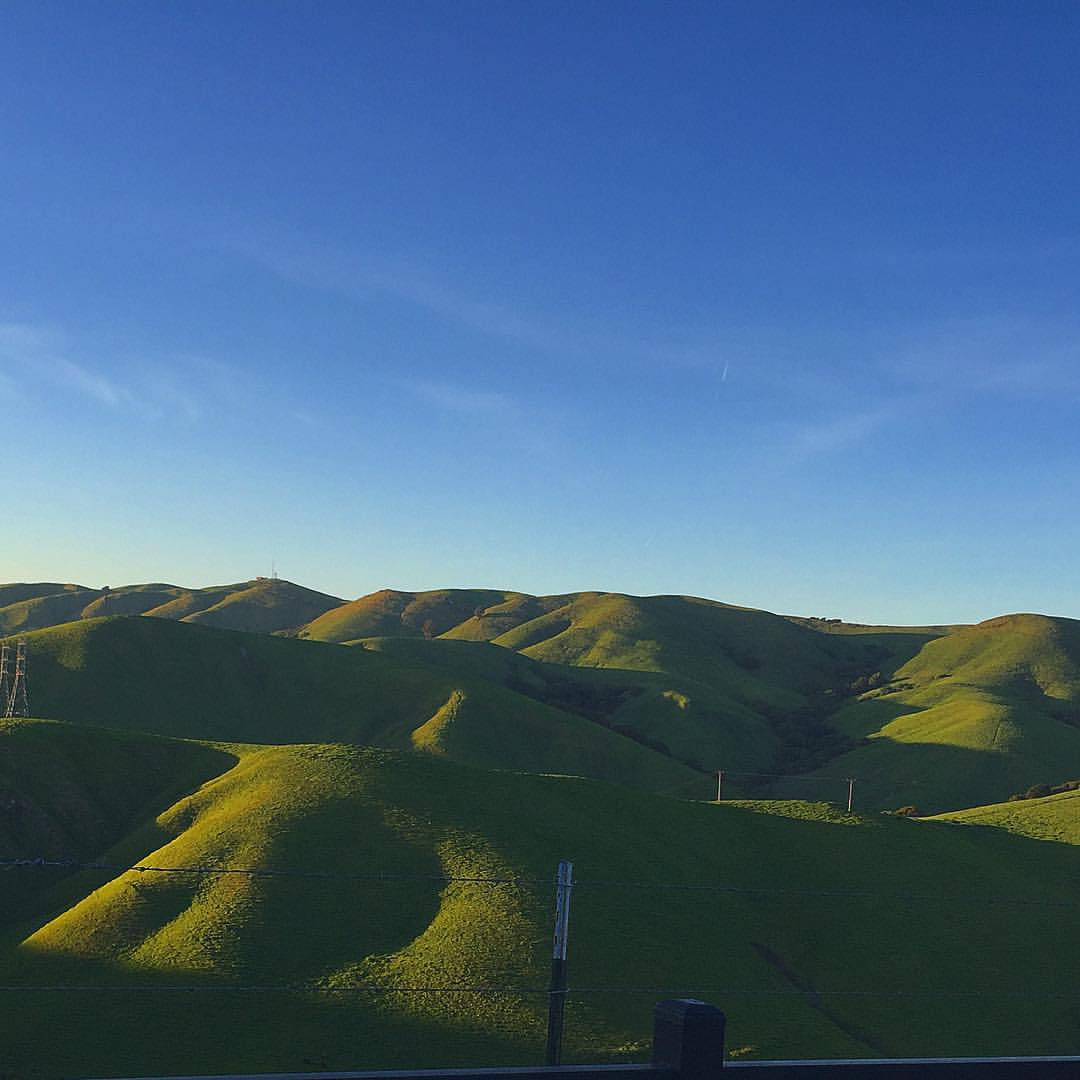
Aerial view of Haywood and East Bay suburbs over California
california ca usa landscape us view unitedstates over aerial farmland calif cal hayward northern
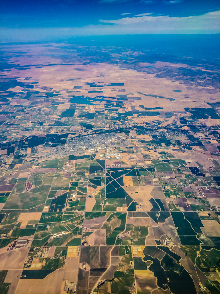
Aerial view of farmland over California
sanfrancisco california railroad bridge usa urbanexploration bayarea dumbarton exploration ue kalifornien urbex snapsi42 canoneos1000d
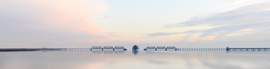
Dumbarton railroad bridge
california bridge winter sunset panorama color water silhouette reflections bay nikon track view over january large rail panoramic southbay eastpaloalto stitched d800 dumbartonbridge 2015 boury pbo31 patrickboury
the gatekeeper
california above longexposure summer motion black color night dark lowlight nikon view ride spin over july spinning bayarea vista eastbay midway funfair pleasanton alamedacounty alamedacountyfair lightstream d700 2011northerncalifornia
wheels on fire
ngc flight northernharrier avianexcellence coyotehillsbirds2013
'out of nowhere'
square lofi squareformat iphoneography instagramapp uploaded:by=instagram foursquare:venue=4aff4fc2f964a520383722e3
The view from above.
sunset red reflection water wow fire interestingness fengshui flickrwow fremontca interestingness4 cound i500 a flickryahoo exploretop10 exploretop20 explore25oct2006 superaplus aplusphoto
Air and water, charging on!
california desktop light red wallpaper green night truck painting photography nikon long exposure tokina 1224mm peterbilt d90 nilescanyon mattgranz
Ever Seen the Movie Duel?
california bridge landscape bay saltpond sanfranciscobay coyotehills dumbartonbridge
Golden Hills
View From a Library Carrel
ebparksok
Lake Chabot
ebparksok
Lake Chabot
california bridge reflection water clouds barn landscape pretty dramatic donedwards newark hollingsworth iphone5 iphoneeography uploaded:by=flickrmobile flickriosapp:filter=nofilter
Don Edwards Preserve, Newark California
bird canon fremont 7d western coyotehills meadowlark birdperfect
Hello! I'm Western Meadowlark
sunset snow storm rain fog night sunrise day cloudy clear pwgen pwwinter pwfall pwpartlycloudy
Mustard Flowers Field
ebparksok
Lake Chabot
california sky flower tree landscape spring nikon day deadtree bayarea wildflower mustardflower nikond800 pwpartlycloudy pwspring
Memory of March
ebparksok
rain and sun alternating
california panorama nature landscape mustard canon5d bluehour dreamland coyotehills naturallightphotography suvrangshughoshphotography suvghoshphotography canon70200f28liiusm
DreamLand, Coyote Hills
california nightphotography dublin moon eastbay hdr canon500d interstate580
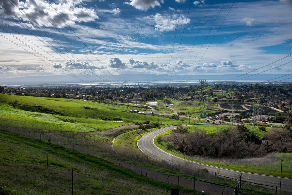
Night View of Tri-Valley
redwoodroad alemedacounty greenhills clouds
While the Hills are Green!
haywardregionalshoreline
Mustard Flower
california coyote tree nature field yellow square landscape spring fremont hills coyotehills hollingsworth iphone5 iphoneography hipstamatic uploaded:by=flickrmobile flickriosapp:filter=nofilter
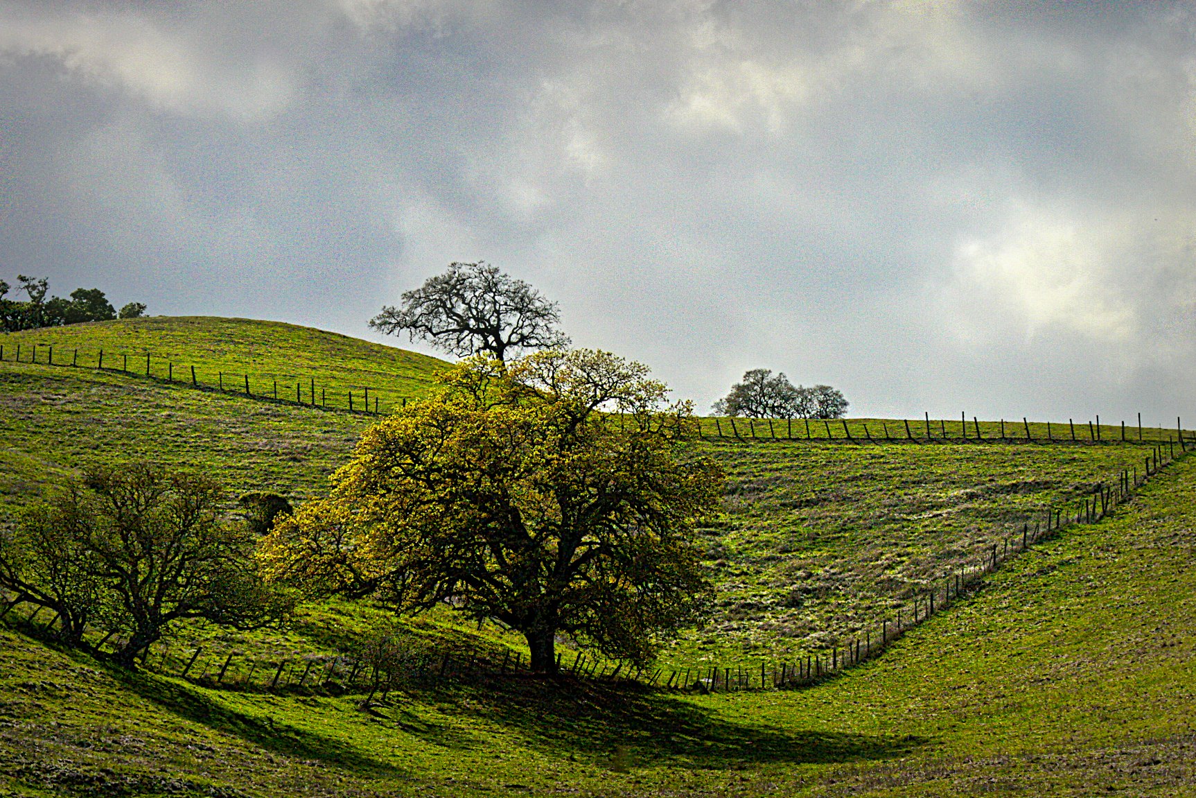
Tree in Yellow Field
Cotoye Hills Regional Park 11.jpg
instagramapp square squareformat iphoneography uploaded:by=instagram
Something about these hills...remind me of Shrek.
wild sky nature yellow clouds landscape spring pretty mustard hollingsworth ellow firld iphone5 iphoneography uploaded:by=flickrmobile flickriosapp:filter=nofilter
Mustard field
california park green square landscape spring trail hollingsworth garin garindrycreekpioneerregionalparks iphoneography uploaded:by=flickrmobile flickriosapp:filter=nofilter
Trail to the Yellow Flowers
california trees weather clouds landscape bluesky sunol landscapesky sunolca
Sunol Spring Hillside No.01
california ca city longexposure favorite usa mist lake tree beautiful fog canon landscape landscapes interesting famous attitude bayarea canon60d
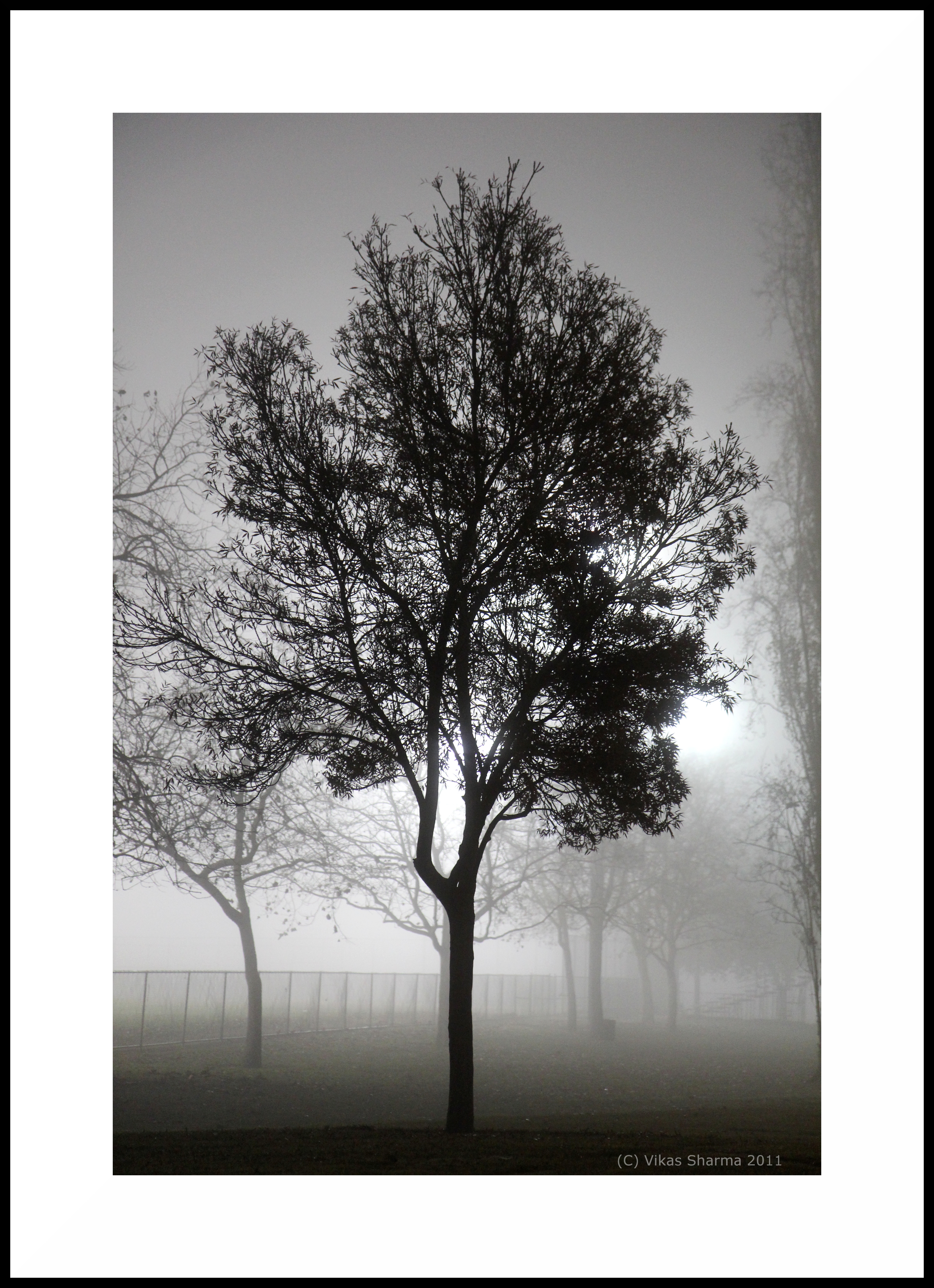
A foggy night in California
california sunset fremont coyotehills ebparksok
No Name Trail
california birds northerncalifornia ngc hummingbirds eastbay alamedacounty allenshummingbird selasphorussasin coyotehillsregionalpark avianexcellence
Allen's Hummingbird