Elevation of Evelyn - Lock Rd, Irvine, KY, USA
Location: United States > Kentucky > Lee County >
Longitude: -83.851129
Latitude: 37.6143734
Elevation: 195m / 640feet
Barometric Pressure: 99KPa
Elevation Map:
Satellite Map:
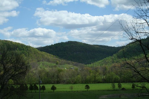
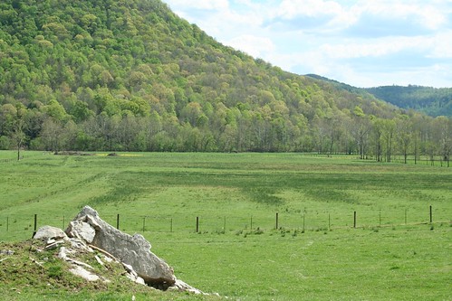
Related Photos:

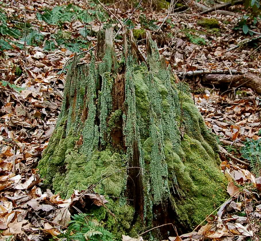
snowy scene

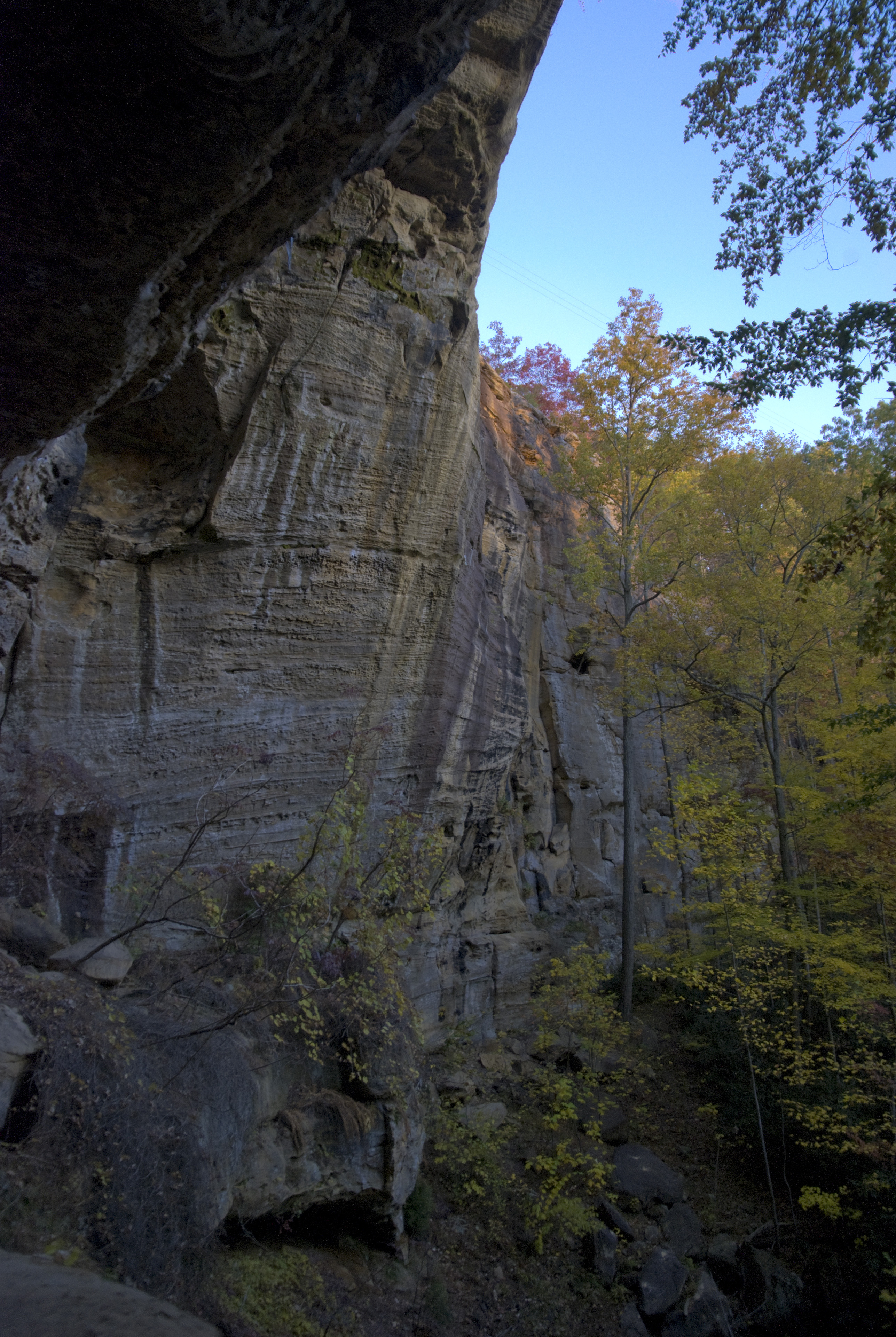
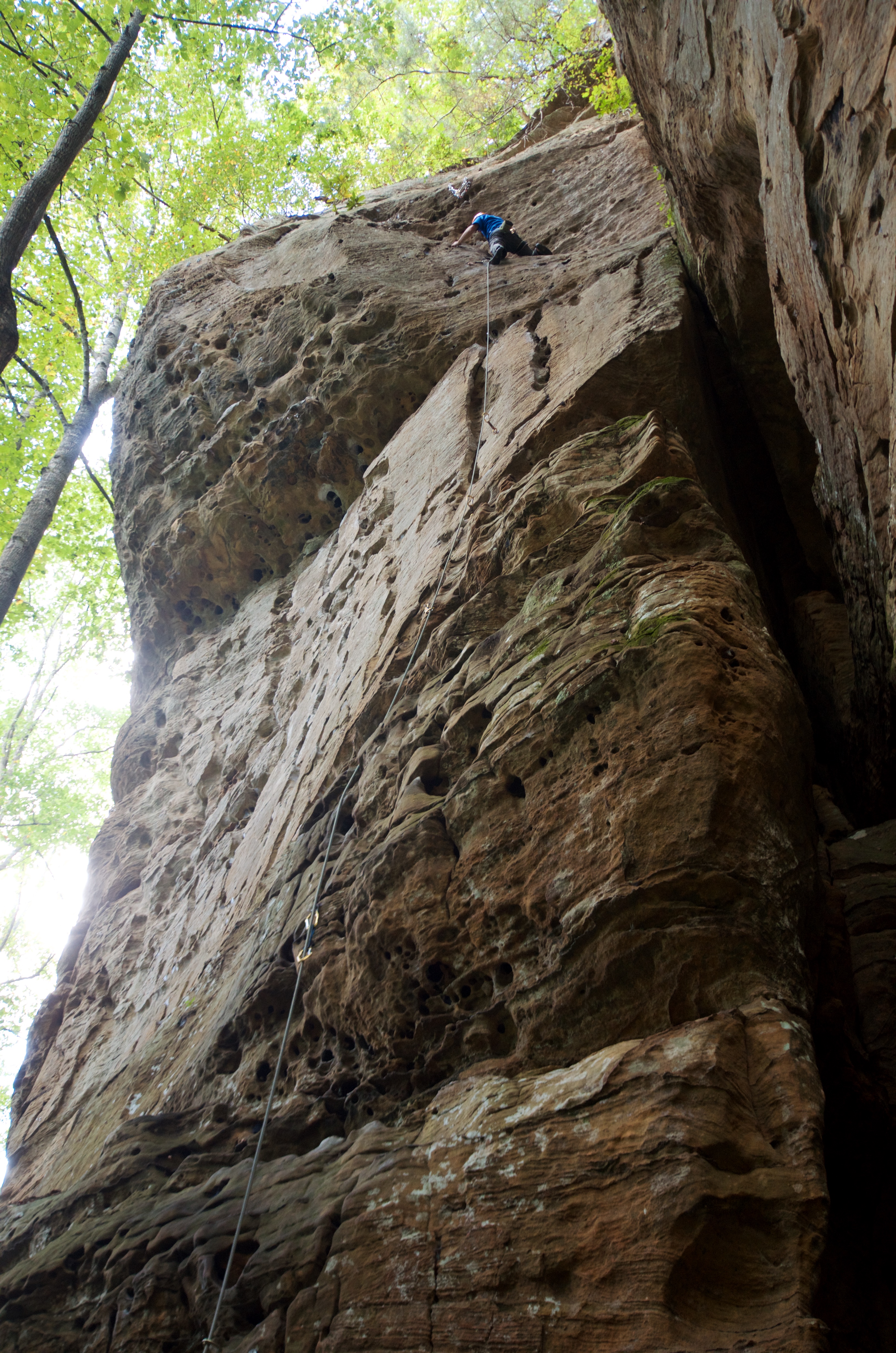
County Wall
IMG_5460.JPG
Bob Marley Crag View
IMG_5465.JPG

along the trail.
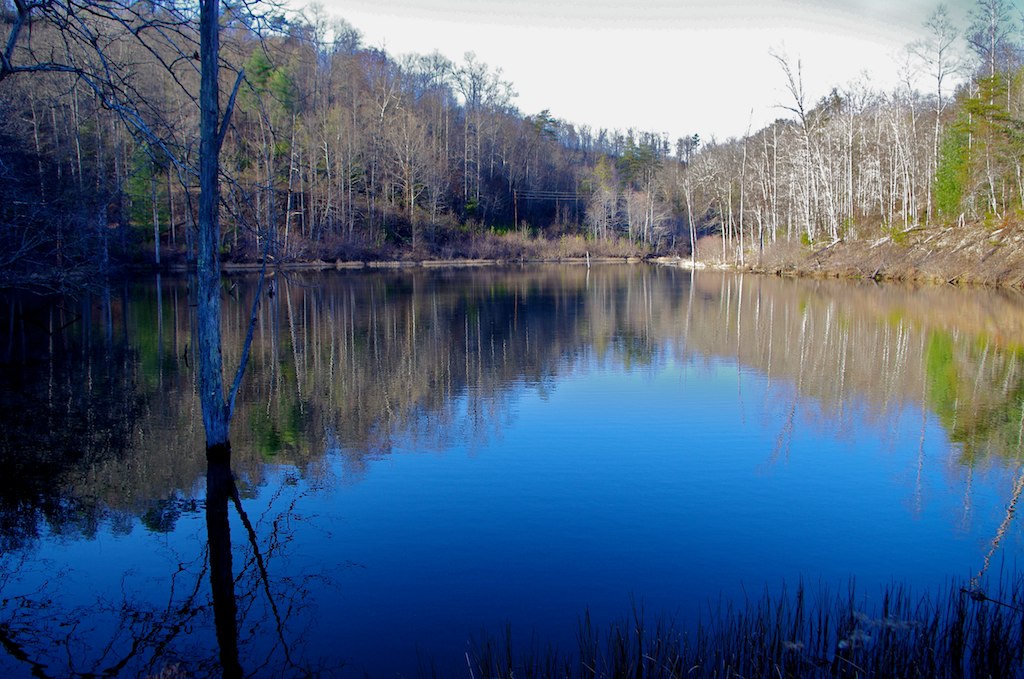
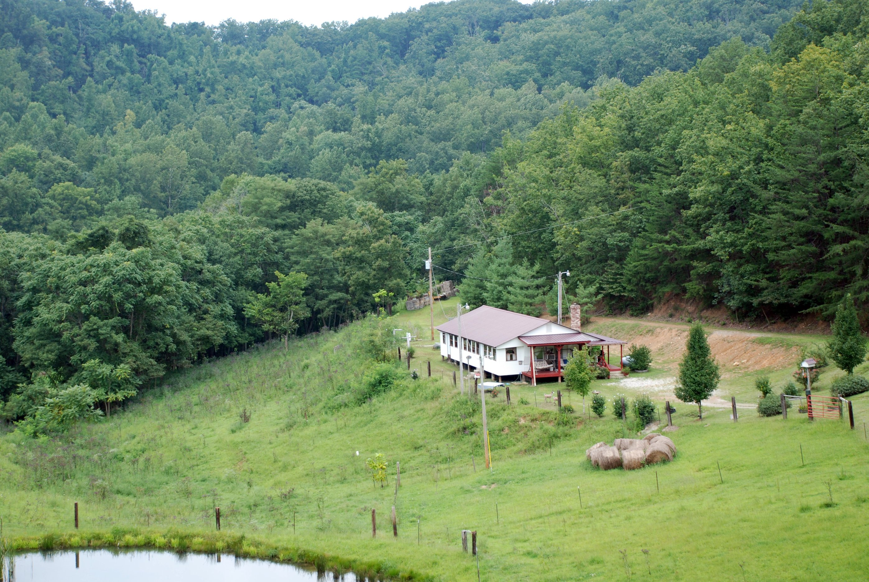
Lake above Cave Fork Rd above Big Sinking Creek
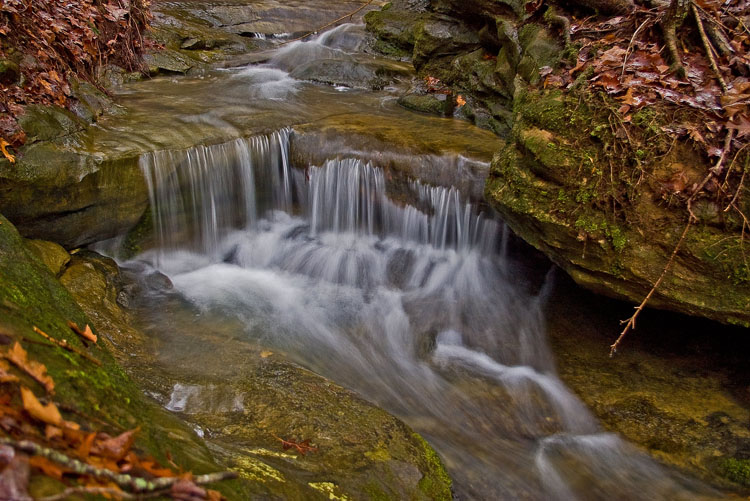
Small waterfall near Alcorn Falls
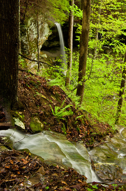
The approach of Alcorn Falls
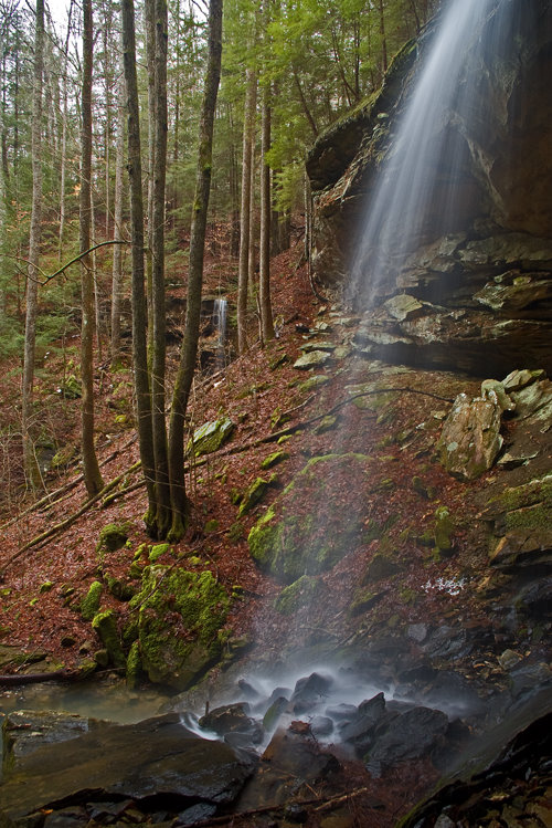
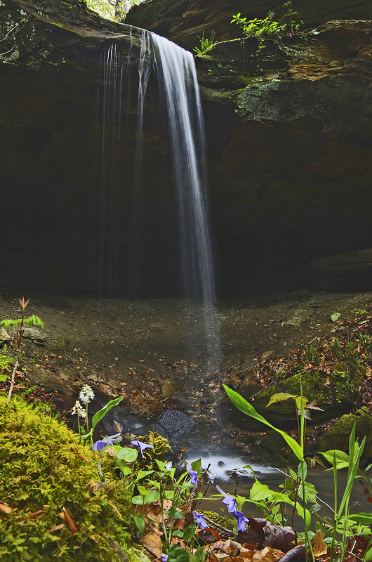
Alcorn Branch Falls , KY
Alcorn Branch Falls, KY

Kudzu Railroad
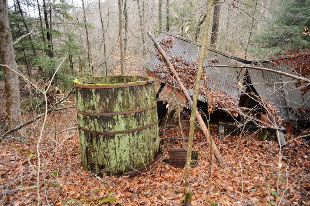
Oilfield powerhouse in Kentucky
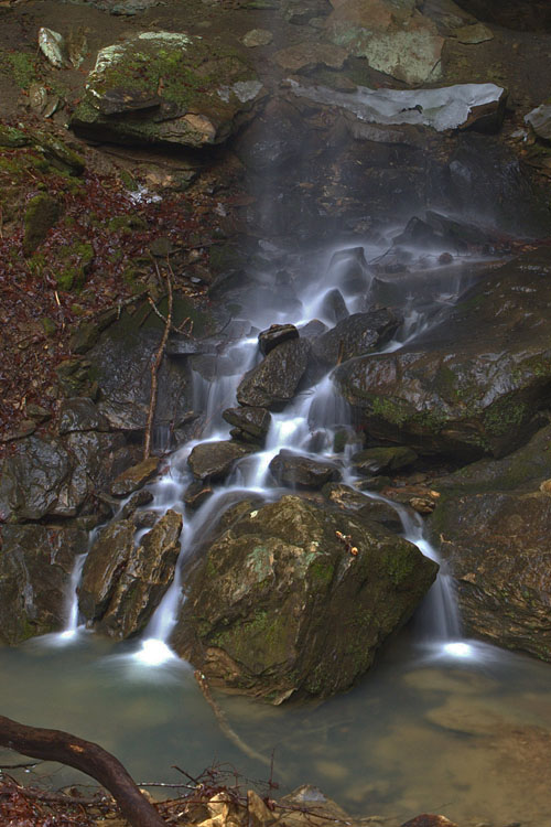
Alcorn Branch Falls, KY
Lynch Town School ...... not
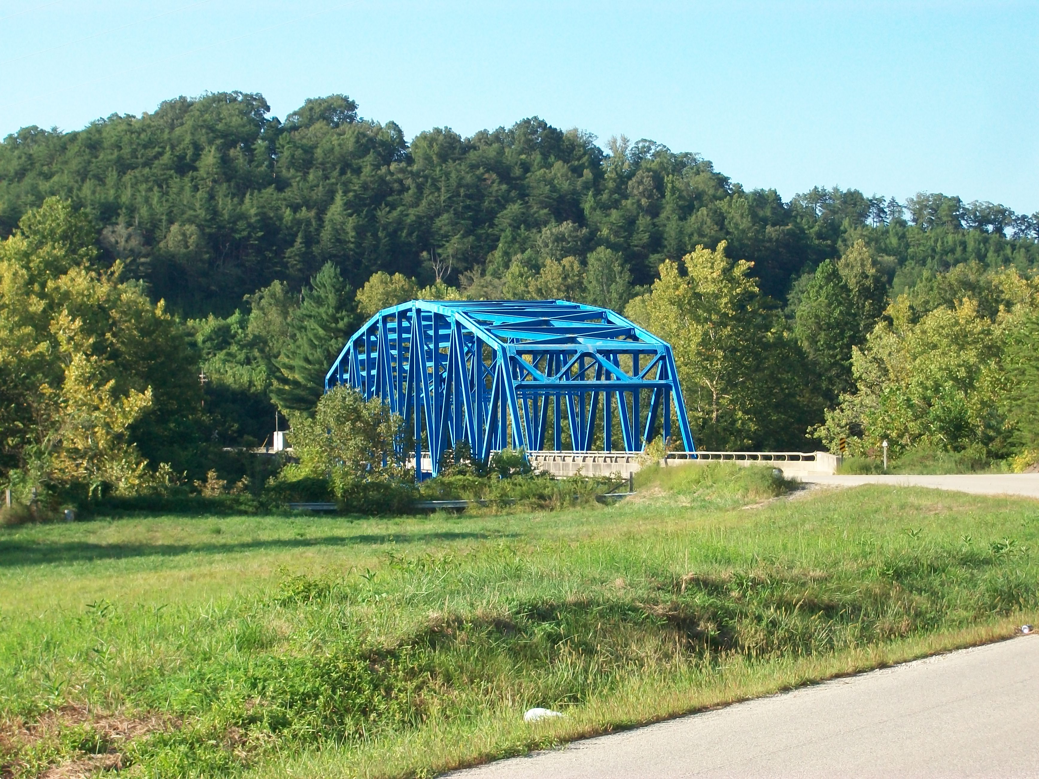
Heidelberg bridge, Heidelberg, Ky.

Midwest Trip
Big Sinking Oilfield

Boredom 2

big sinking oilfield

Series III-8B

Series III-8B

St George's Day 2013

Volunteer Wall
Nearly there
Topographic Map of Evelyn - Lock Rd, Irvine, KY, USA
Find elevation by address:

Places near Evelyn - Lock Rd, Irvine, KY, USA:
Evelyn Road
Old Landing
Barnes Mountain Road
Youth Haven Road
Youth Haven Road
Kentucky Mountain Mission Inc.
Alumbaugh
Tipton Ridge Road
Wagers Mountain Road
7453 Ky-52
Crestmont Rd, Beattyville, KY, USA
Fitchburg Rd, Ravenna, KY, USA
Cob Hill Crossroads Community
Cobhill
595-599
9015 Mckee Rd
Furnace Junction Road
518 3rd St
Ravenna
KY-, Beattyville, KY, USA
Recent Searches:
- Elevation of Corso Fratelli Cairoli, 35, Macerata MC, Italy
- Elevation of Tallevast Rd, Sarasota, FL, USA
- Elevation of 4th St E, Sonoma, CA, USA
- Elevation of Black Hollow Rd, Pennsdale, PA, USA
- Elevation of Oakland Ave, Williamsport, PA, USA
- Elevation of Pedrógão Grande, Portugal
- Elevation of Klee Dr, Martinsburg, WV, USA
- Elevation of Via Roma, Pieranica CR, Italy
- Elevation of Tavkvetili Mountain, Georgia
- Elevation of Hartfords Bluff Cir, Mt Pleasant, SC, USA