Elevation of Evansdale Rd, Wilson, NC, USA
Location: United States > North Carolina > Wilson County > Black Creek > Black Creek >
Longitude: -77.914260
Latitude: 35.6428225
Elevation: 35m / 115feet
Barometric Pressure: 101KPa
Elevation Map:
Satellite Map:
Related Photos:

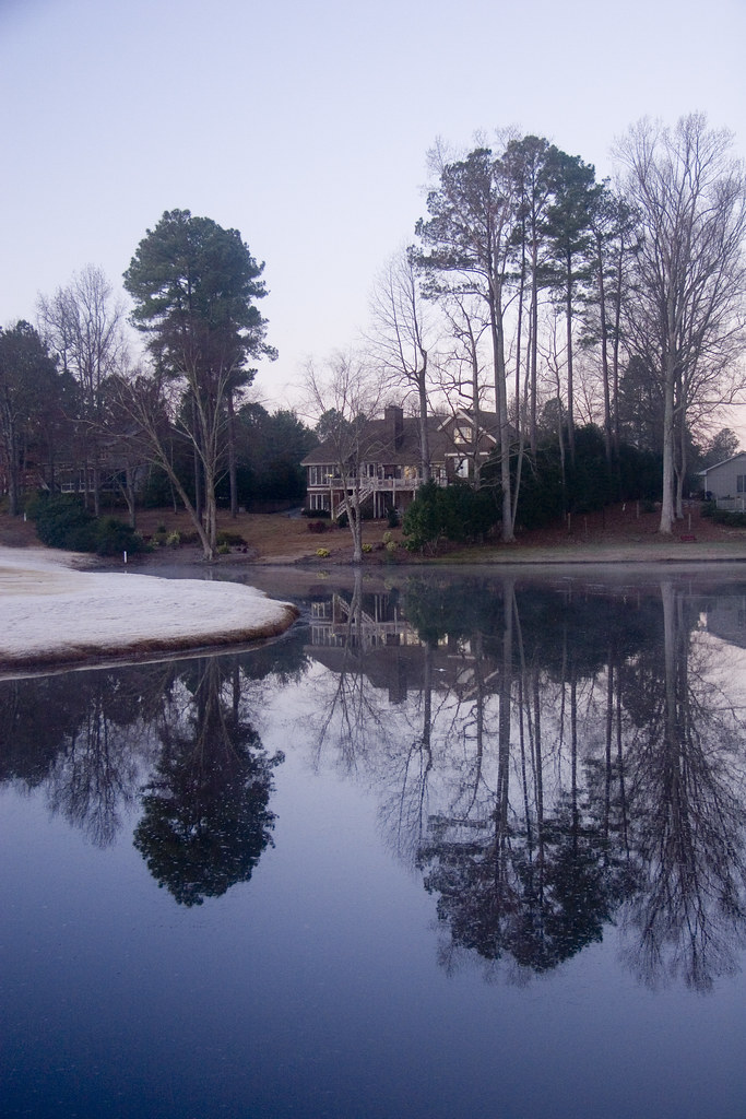
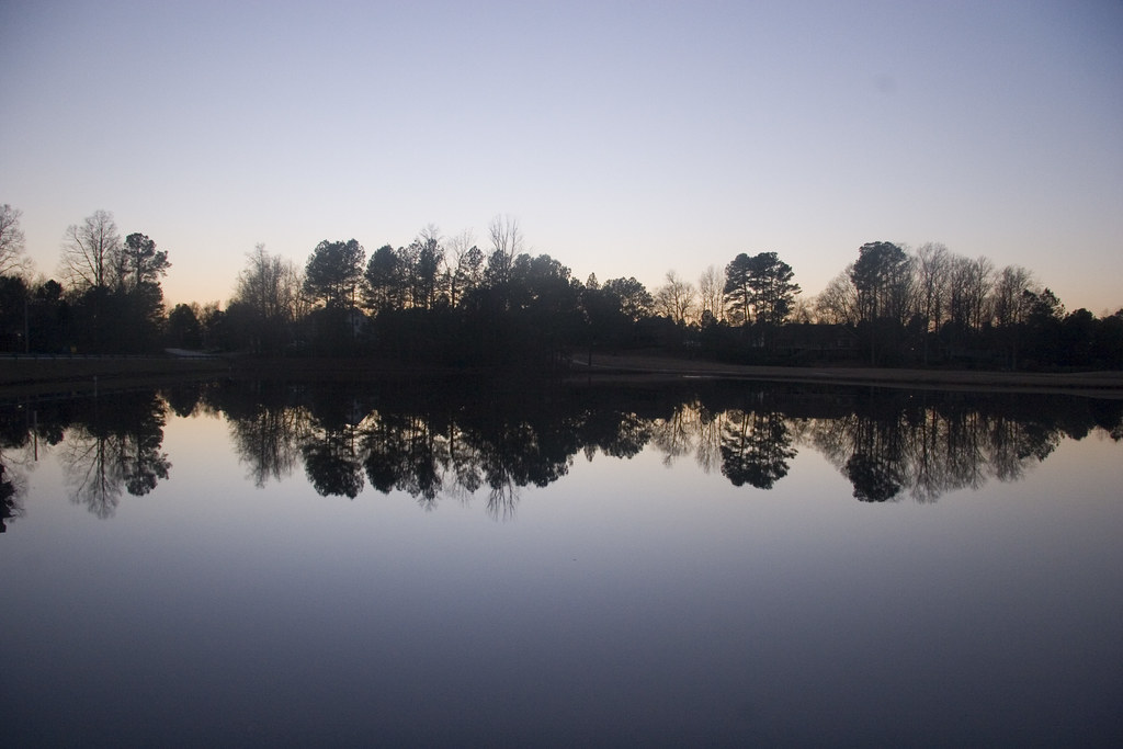
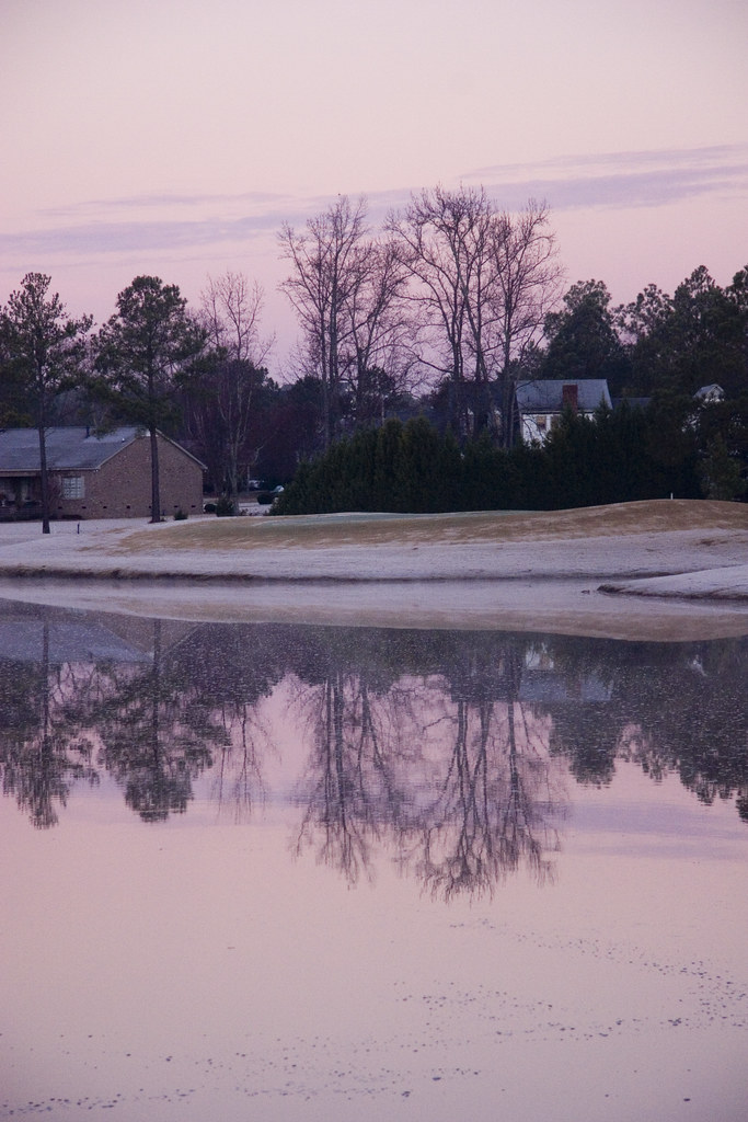
Fall Sunrise #2 - Wilson, NC
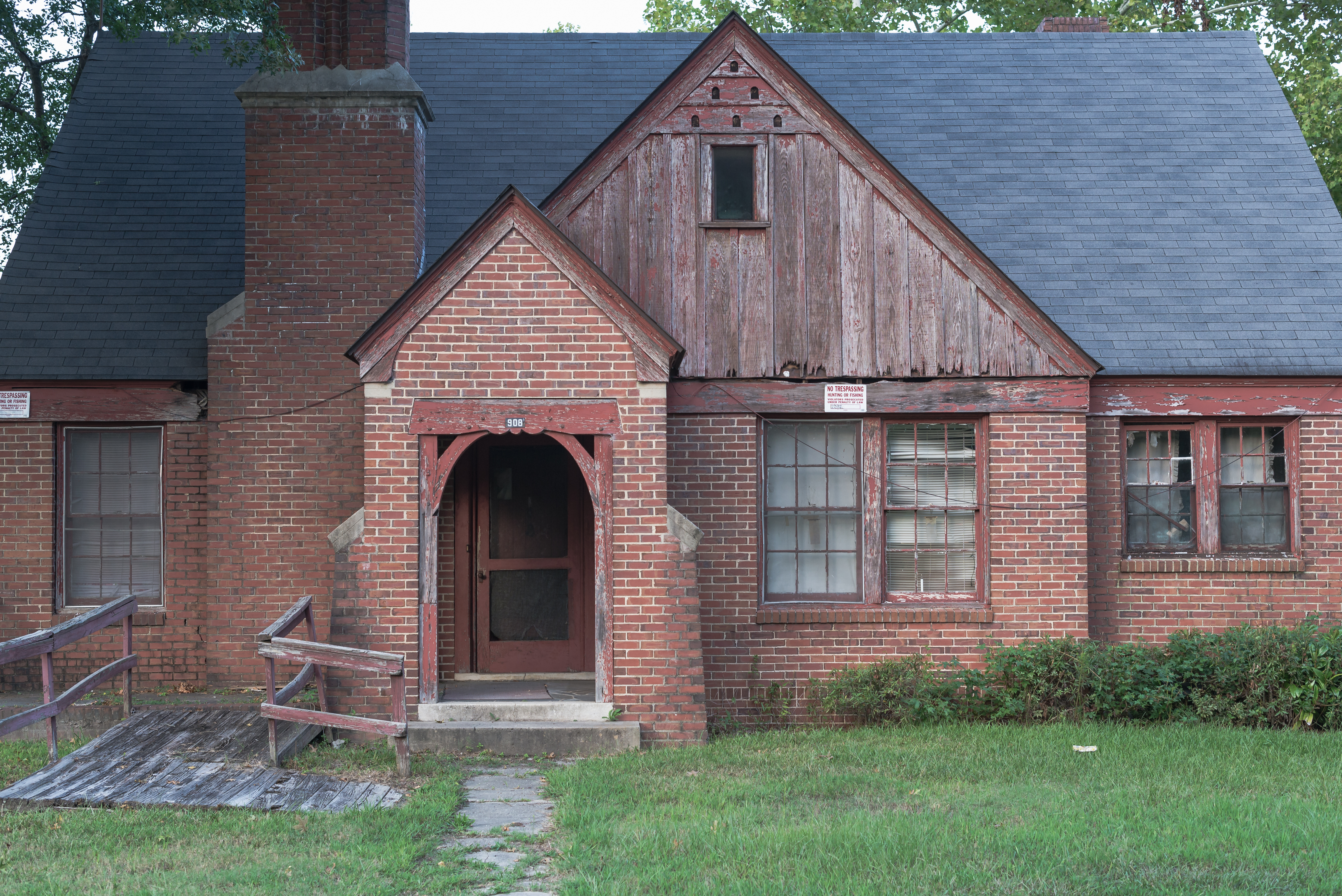
Broken Home
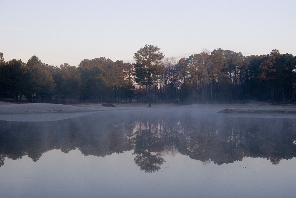
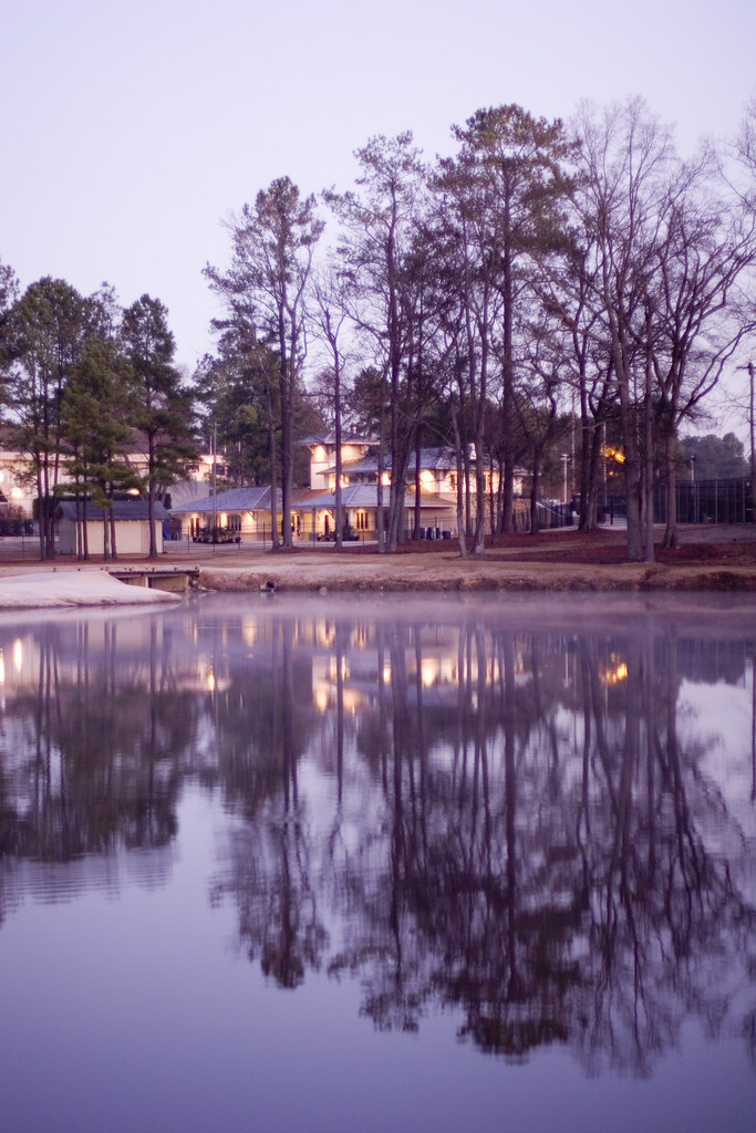
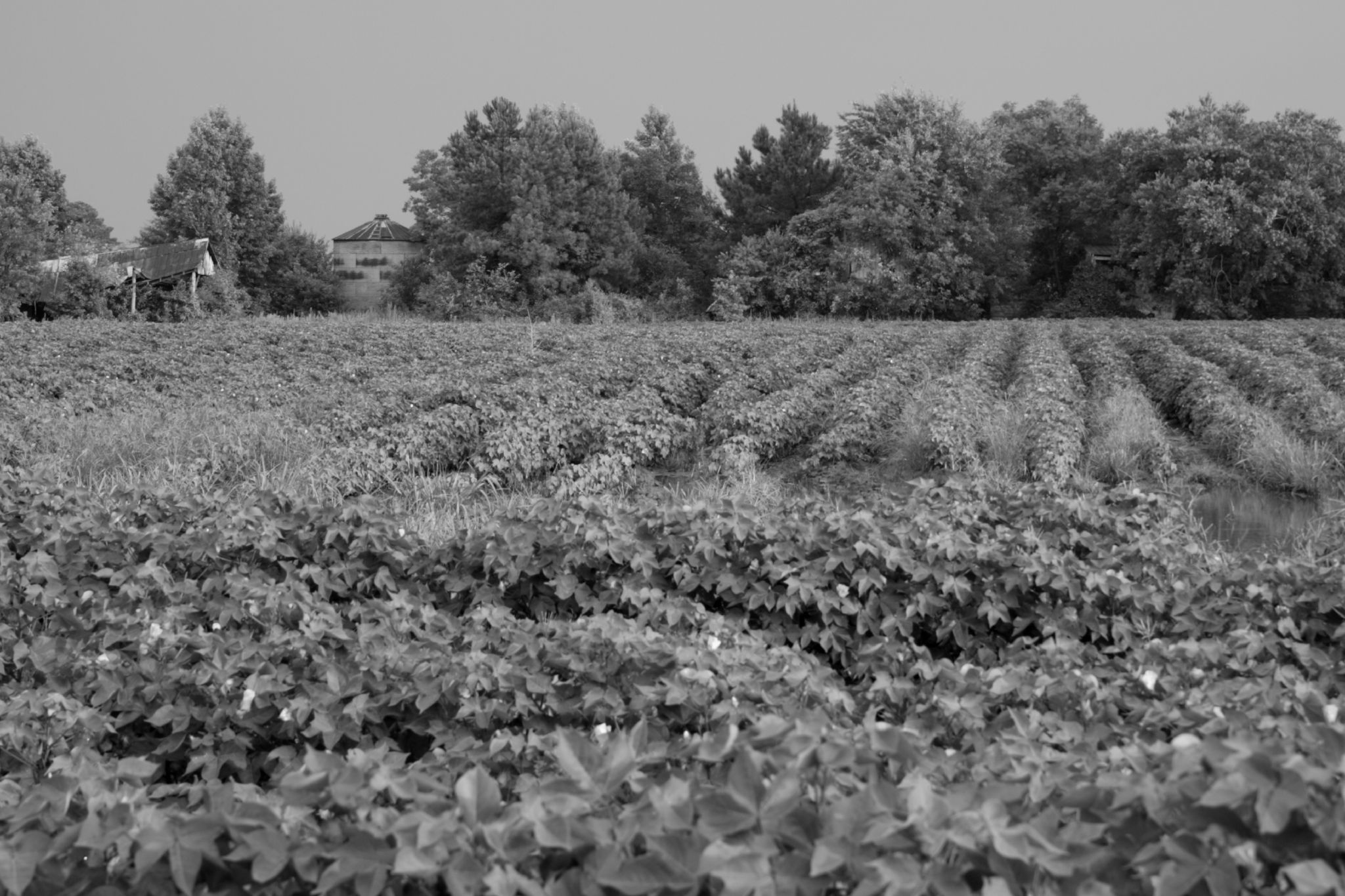
Southern Landscape
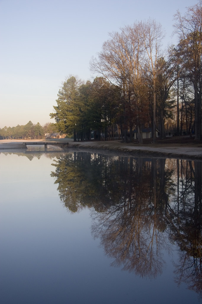
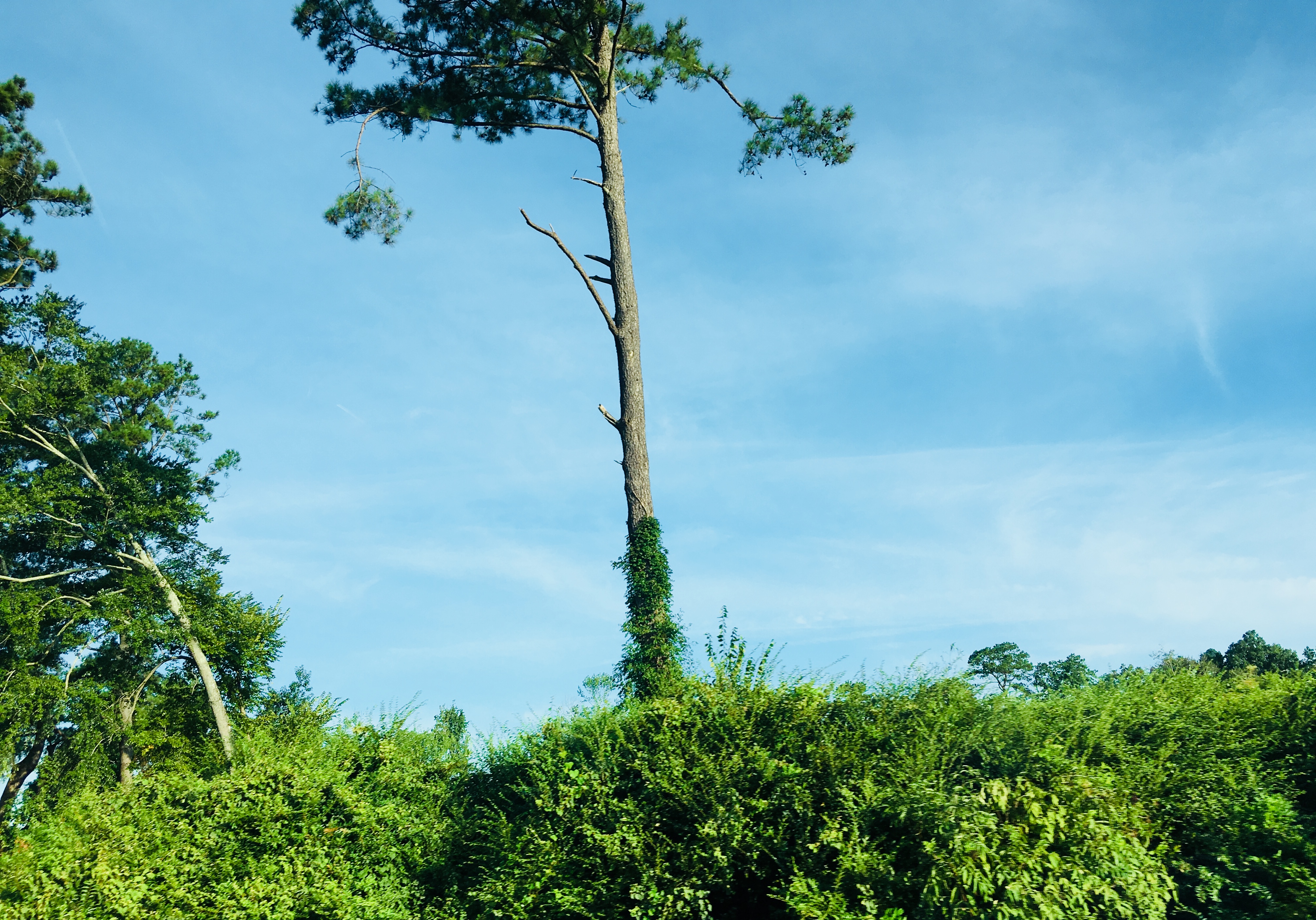
Southern Landscape

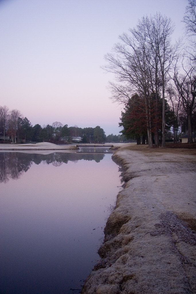
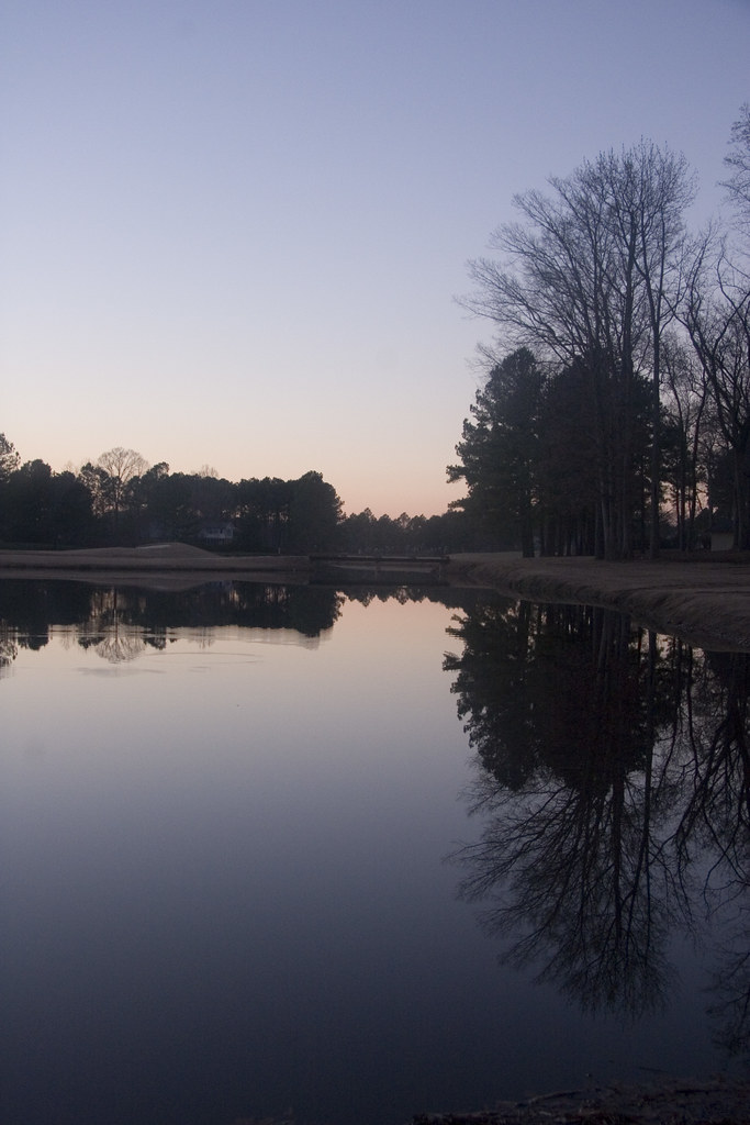
Southern Landscape
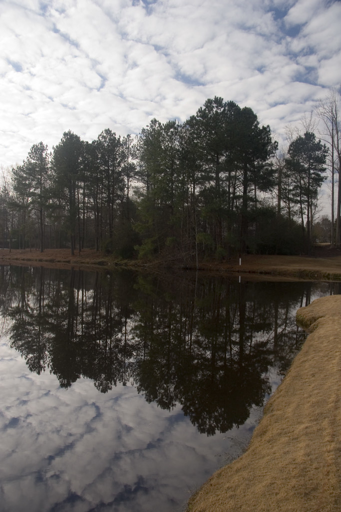
Southern Landscape
Southern Landscape

American Dream
Southern Landscape

Southern Landscape
Southern Landscape
Southern Landscape
Southern Landscape
Lucama,NC
Southern Landscape
Southern Landscape
Southern Landscape
rural sea of leaves
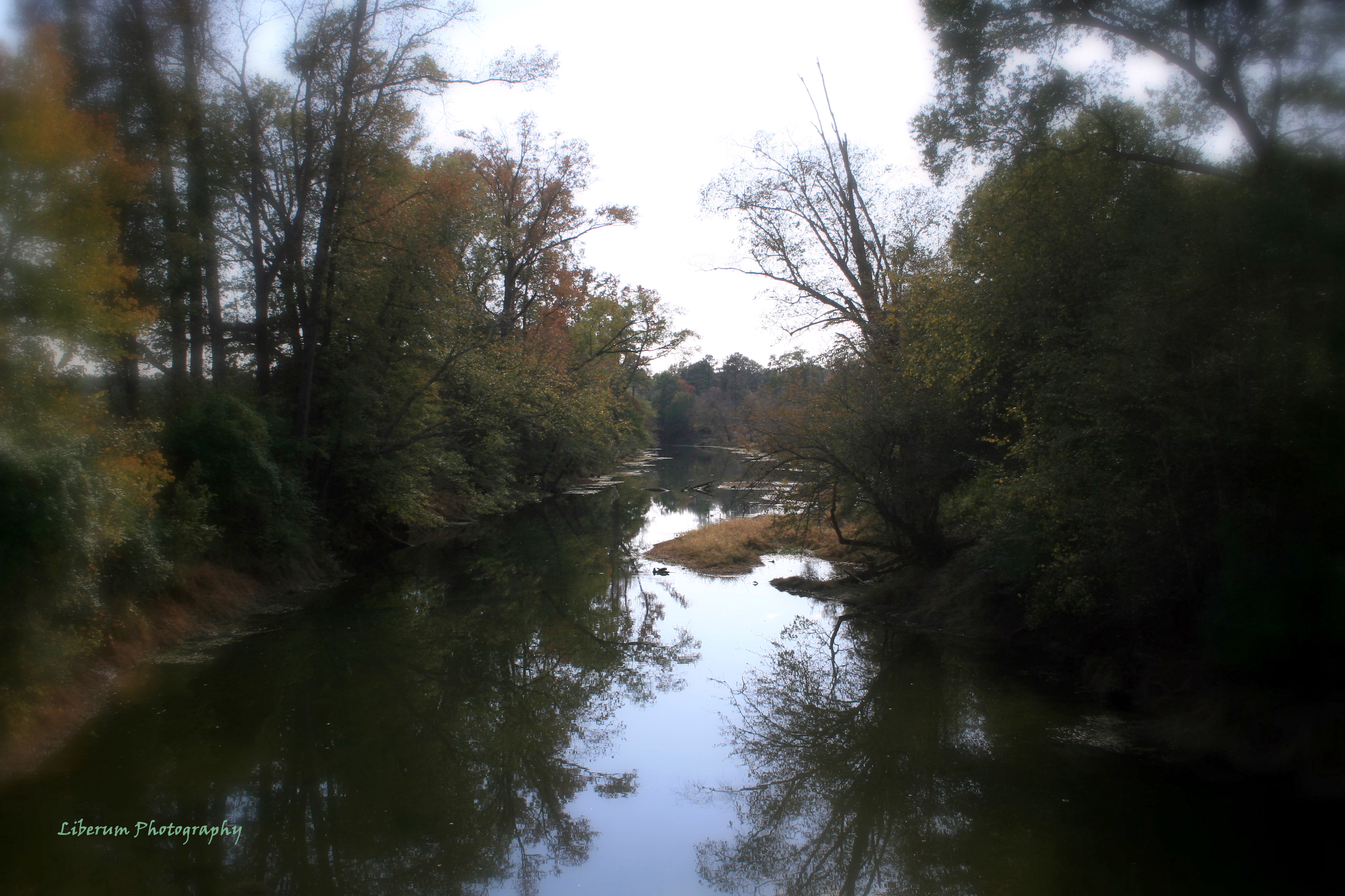
Contentnea Creek
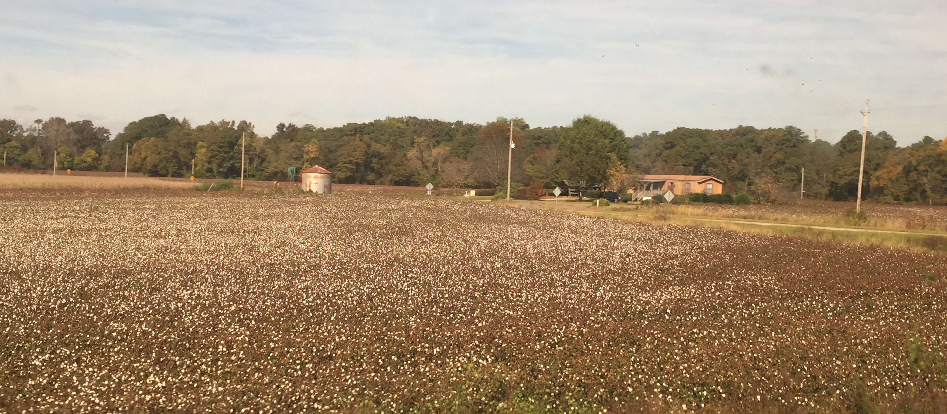
Near Wilson NC: A field of cotton before the harvest
Not Yet
Topographic Map of Evansdale Rd, Wilson, NC, USA
Find elevation by address:

Places near Evansdale Rd, Wilson, NC, USA:
Black Creek
Black Creek
2305 Baldree Rd S
2009 Beeler Rd S
Wilson County
Holly Trail, Wilson, NC, USA
Eastwood
Wilson
Wilson
2407 Horton Blvd Sw
112 Goldsboro St S
Starmount
Jefferson Street West
Cranberry Ridge
3007 Cranberry Ridge Dr Sw
Barton College
901 Raleigh Rd Pkwy W
Cross Roads
Lucama
E Oak St, Lucama, NC, USA
Recent Searches:
- Elevation of Congressional Dr, Stevensville, MD, USA
- Elevation of Bellview Rd, McLean, VA, USA
- Elevation of Stage Island Rd, Chatham, MA, USA
- Elevation of Shibuya Scramble Crossing, 21 Udagawacho, Shibuya City, Tokyo -, Japan
- Elevation of Jadagoniai, Kaunas District Municipality, Lithuania
- Elevation of Pagonija rock, Kranto 7-oji g. 8"N, Kaunas, Lithuania
- Elevation of Co Rd 87, Jamestown, CO, USA
- Elevation of Tenjo, Cundinamarca, Colombia
- Elevation of Côte-des-Neiges, Montreal, QC H4A 3J6, Canada
- Elevation of Bobcat Dr, Helena, MT, USA