Elevation of Estero Peak, Comox-Strathcona J, BC V0P, Canada
Location: Canada > British Columbia > Strathcona > Comox-strathcona J >
Longitude: -125.18583
Latitude: 50.4619444
Elevation: 1661m / 5449feet
Barometric Pressure: 83KPa
Elevation Map:
Satellite Map:
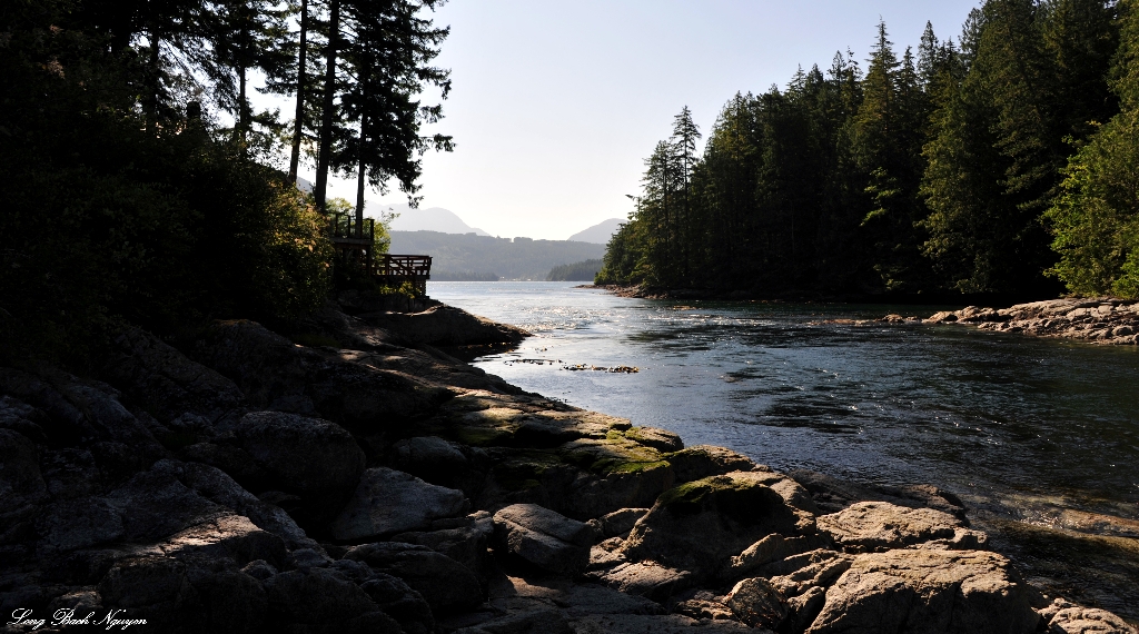
Related Photos:

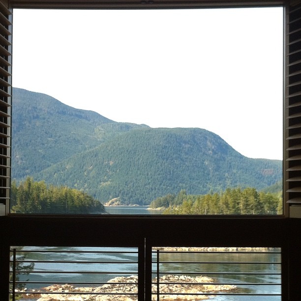
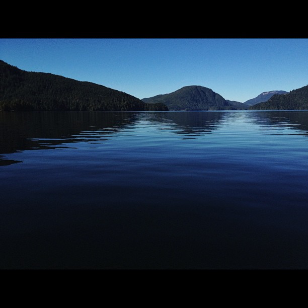
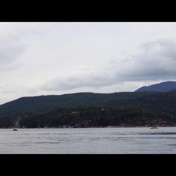
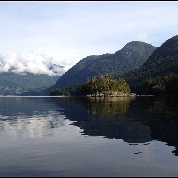
Long View
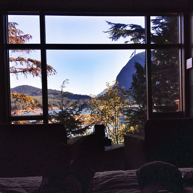
Room with a view @SonoraResort
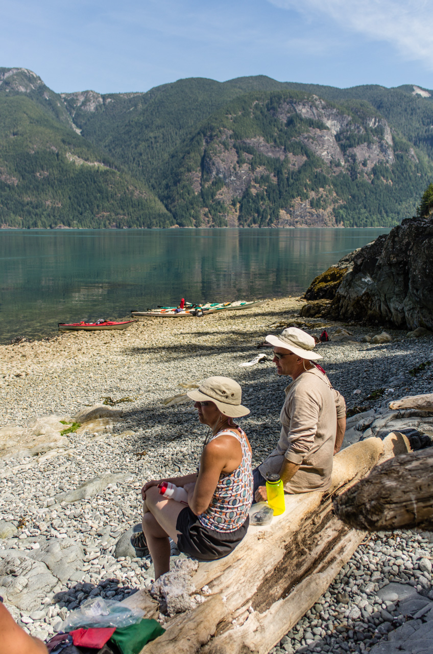
lunch break with a view
Room with a view :-) -- @sonoraresort -- super nice!
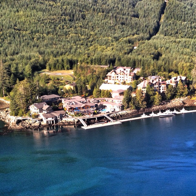
Sonora Resort - always an awesome view!!

It's pretty here @SonoraResort
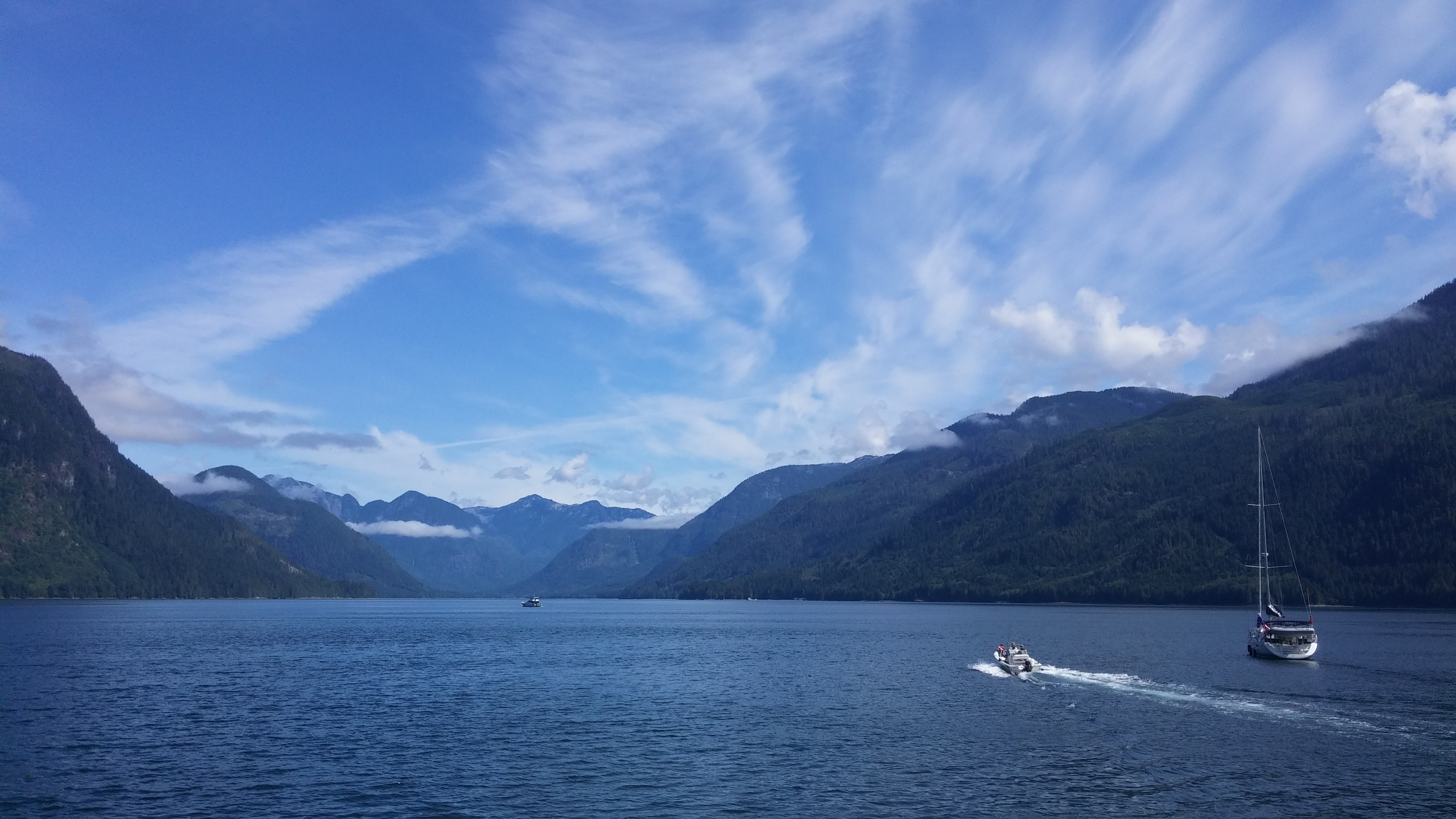
Another spectacular morning on the water @SonoraResort
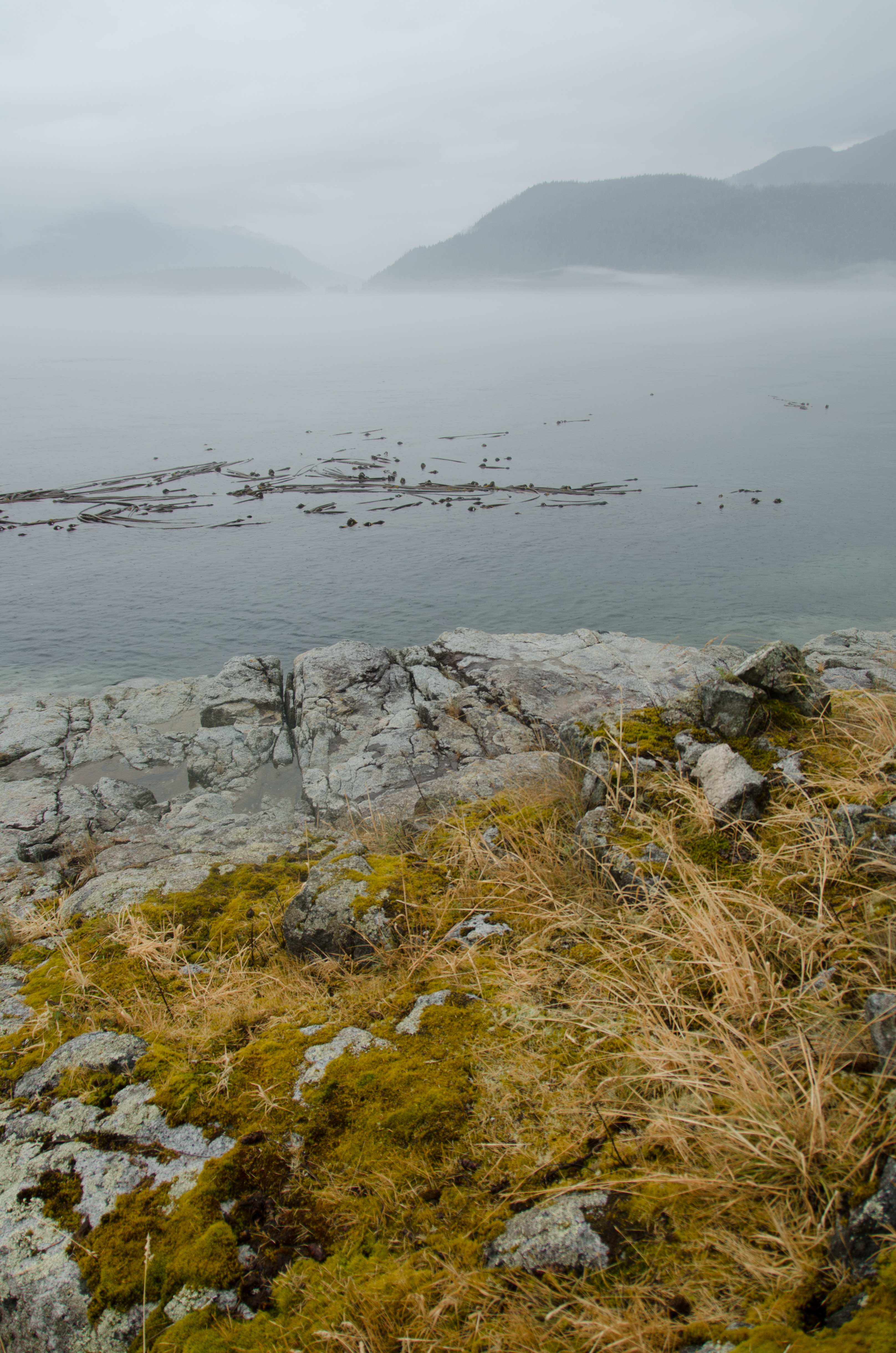
Arran Point
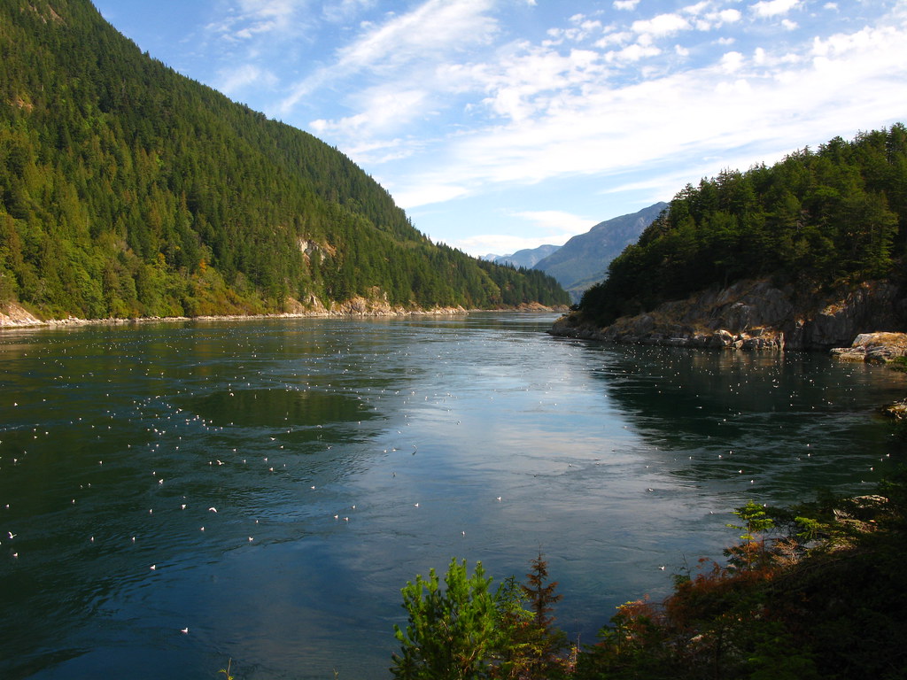
20150714-20150714_105225BritishColumbia
20150711-DSC_4518BritishColumbia
Another pic of a humpback whale taken while fishing from @SonoraResort
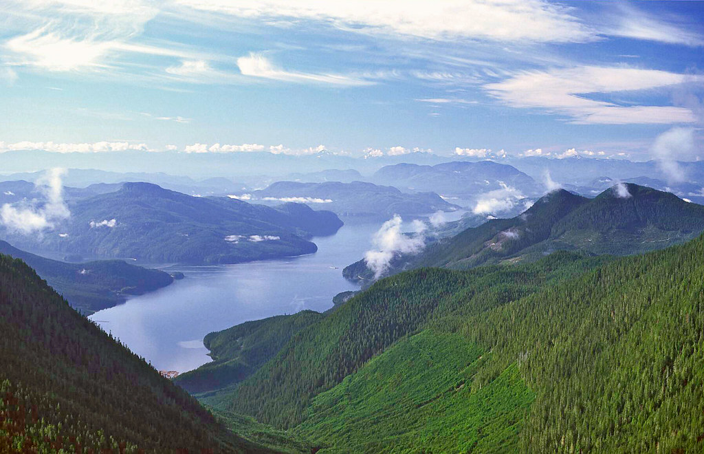
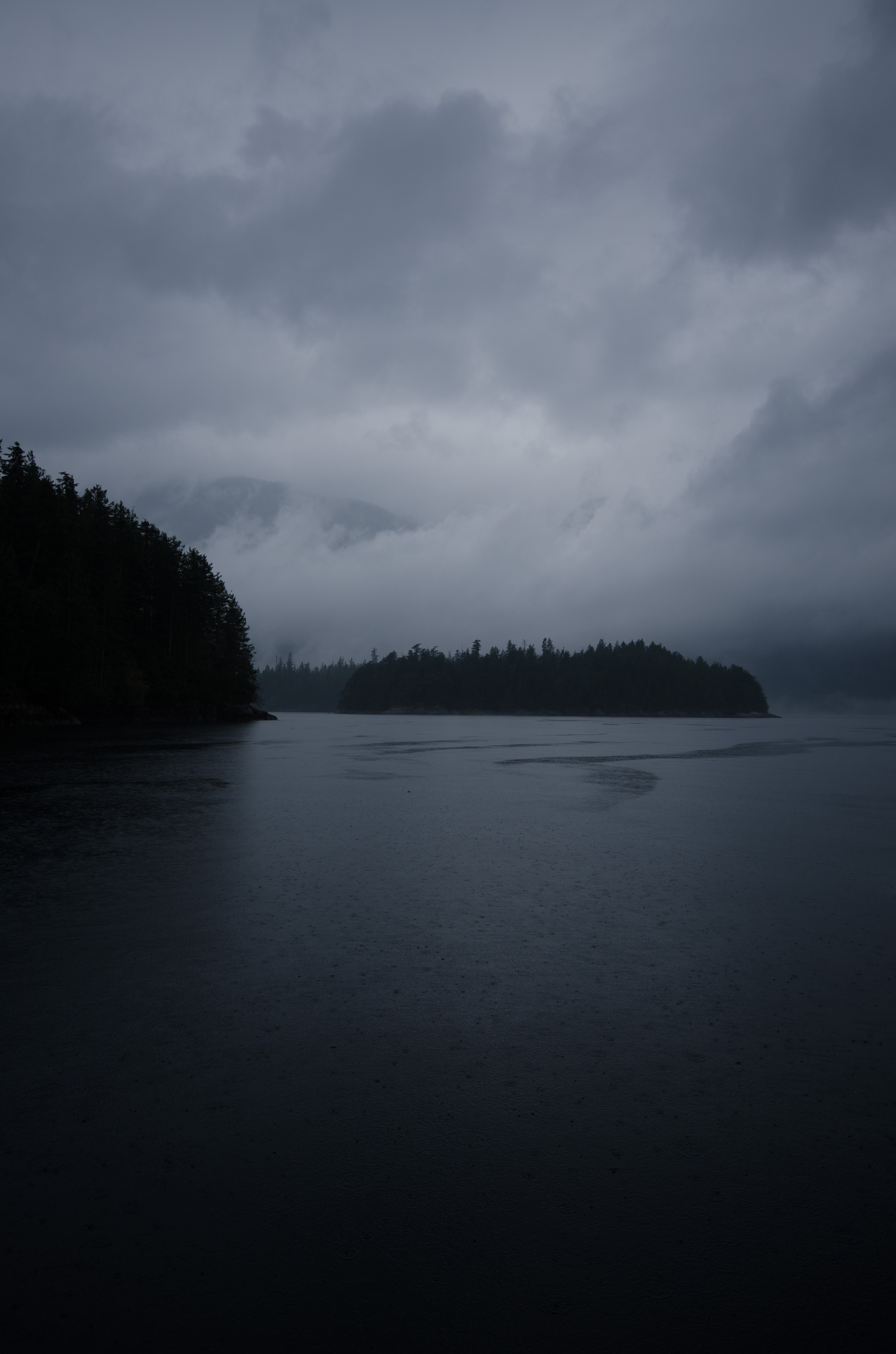
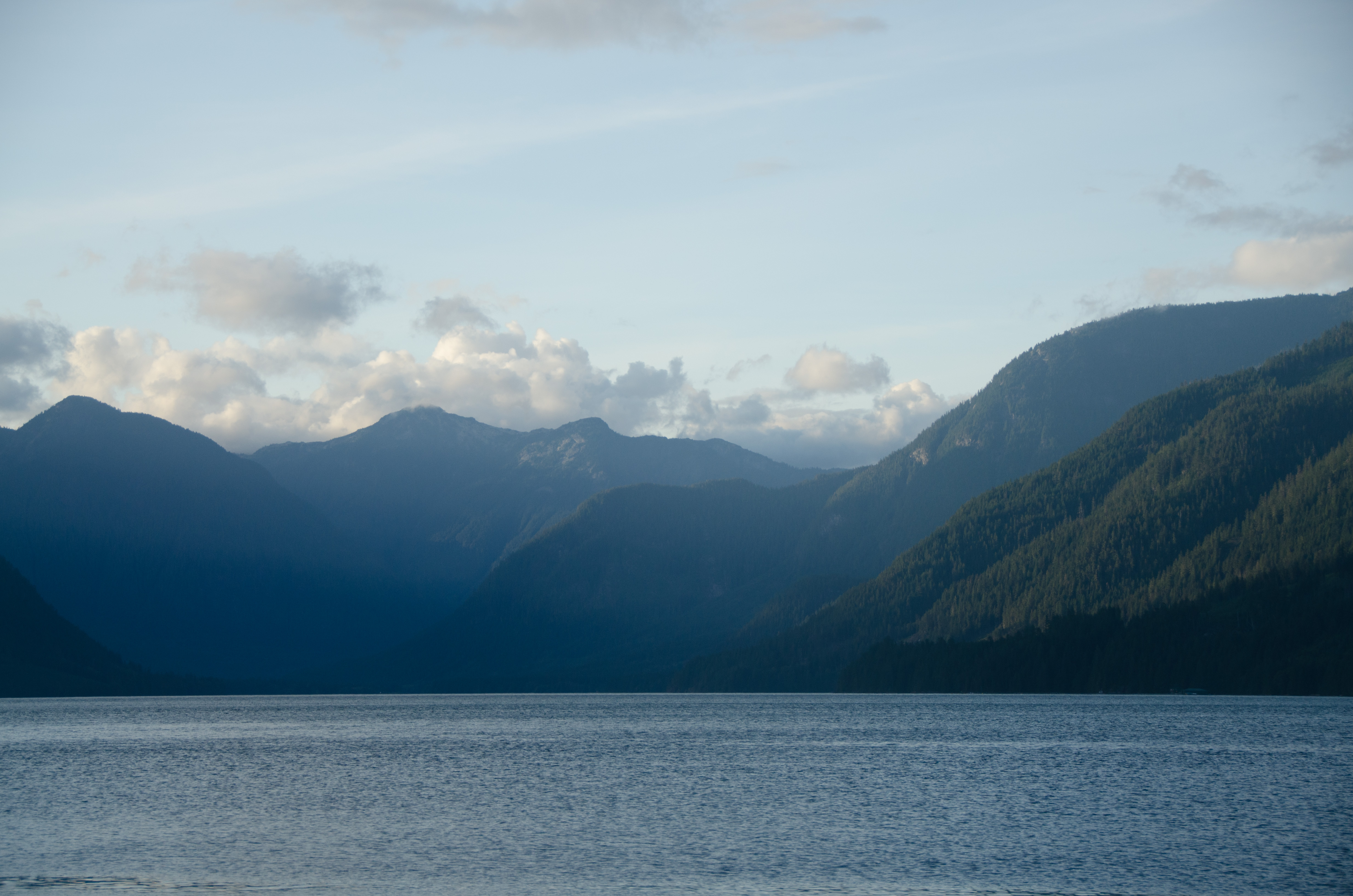
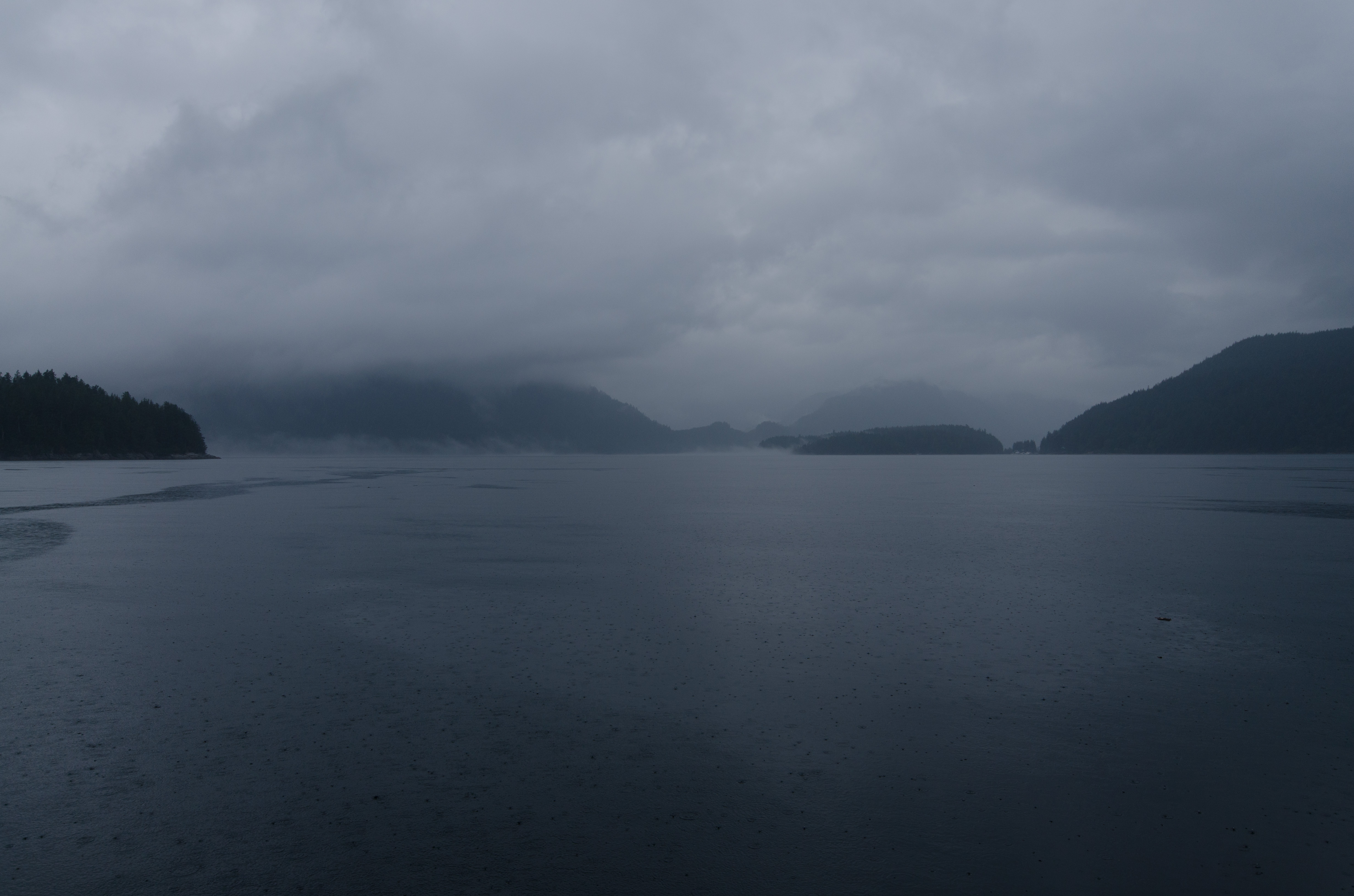
Frederick Arm II
20150711-DSC_4559BritishColumbia
Sonora Resort, Sonora Island, Calm Channel, Yuculta Rapids, BC, Canada
20150711-DSC_4584BritishColumbia

Sunrise Stuart Isl.
20150713-DSC_4692BritishColumbia
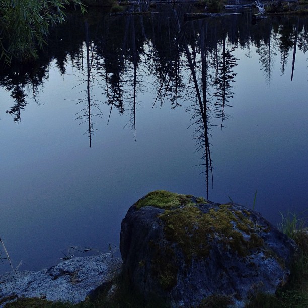
Reflections. @sonoraresort
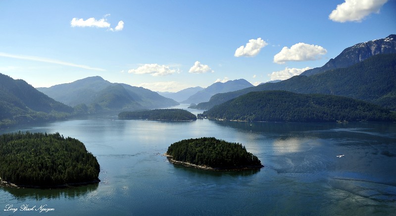
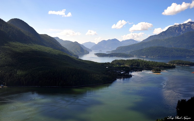
Gillard Islands, Jimmy Judd Island, Dent Island Lodge, Calm Channel, Desolation Sound, Canada
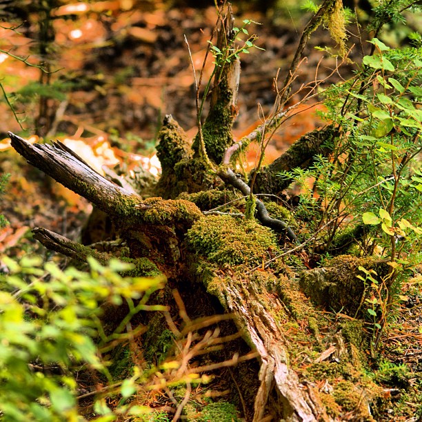
Some pics from our tour of the Phillips River Watershed - Phillips Arm - British Columbia. Old logging clear cut area that has grown back.

20150711-DSC_4515BritishColumbia
It really amazing at @SonoraResort...
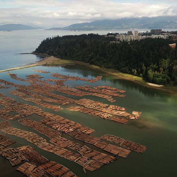
UBC on the way from #yvr to @sonoraresort - cool with all the log booms.
20150711-DSC_4517BritishColumbia
Canoe Pass Rapids, Dent Island Lodge, Desolation Sound, BC, Canada
Topographic Map of Estero Peak, Comox-Strathcona J, BC V0P, Canada
Find elevation by address:

Places near Estero Peak, Comox-Strathcona J, BC V0P, Canada:
Dent Island
Discovery Passage
Quathiaski Cove
2700 Woodburn Rd #44
2360 Spring Rd
Campbell River
1791 Spruce St
10 Weway Rd, Quathiaski Cove, BC V0P 1N0, Canada
Strathcona Regional District Corporate Office
302 Birch St
1759 Willis Rd
375 2 Ave
Willis Road
43 Panorama Cres
316 Anne Rd
52 S Thulin St
S Dogwood St & Merecroft Rd
522 S Dogwood St
744 S Alder St
742 Robron Rd
Recent Searches:
- Elevation of Scenic Shore Dr, Kingwood Area, TX, USA
- Elevation of W Prive Cir, Delray Beach, FL, USA
- Elevation of S Layton Cir W, Layton, UT, USA
- Elevation of F36W+3M, Mussoorie, Uttarakhand, India
- Elevation of Fairland Ave, Fairhope, AL, USA
- Elevation of Sunset Dr, Richmond, VA, USA
- Elevation of Grodna District, Hrodna Region, Belarus
- Elevation of Hrodna, Hrodna Region, Belarus
- Elevation of Sandia Derby Estates, Tijeras, NM, USA
- Elevation of 23 Sunrise View Ct, Tijeras, NM, USA