Elevation of Estacion Aigua, Ruta 8 Brigadier Gral Juan Antonio Lavalleja, Departamento de Lavalleja, Uruguay
Location: Uruguay >
Longitude: -54.824663
Latitude: -34.126011
Elevation: 98m / 322feet
Barometric Pressure: 100KPa
Elevation Map:
Satellite Map:
Related Photos:
Lugar prohibido
Hermosa prohibicion

Caminos Rurales
Ventana en el paraíso

En el museo del juguete
Con mis compañeros

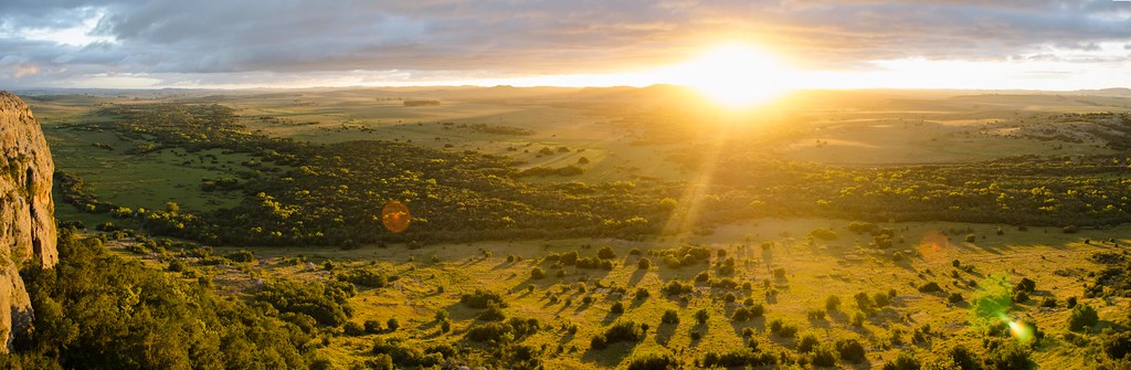
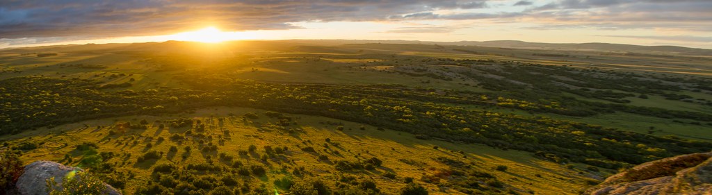
Aiguá

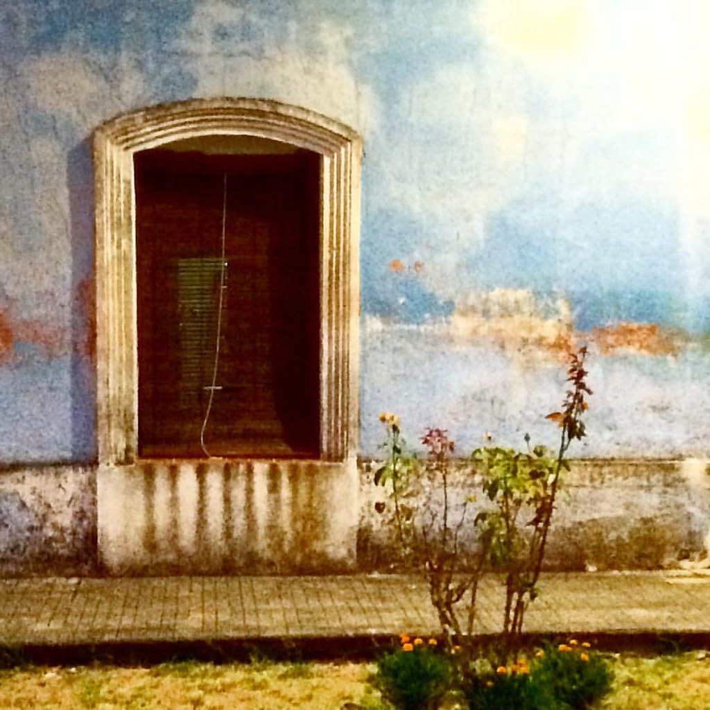
Casas viejas nuevas
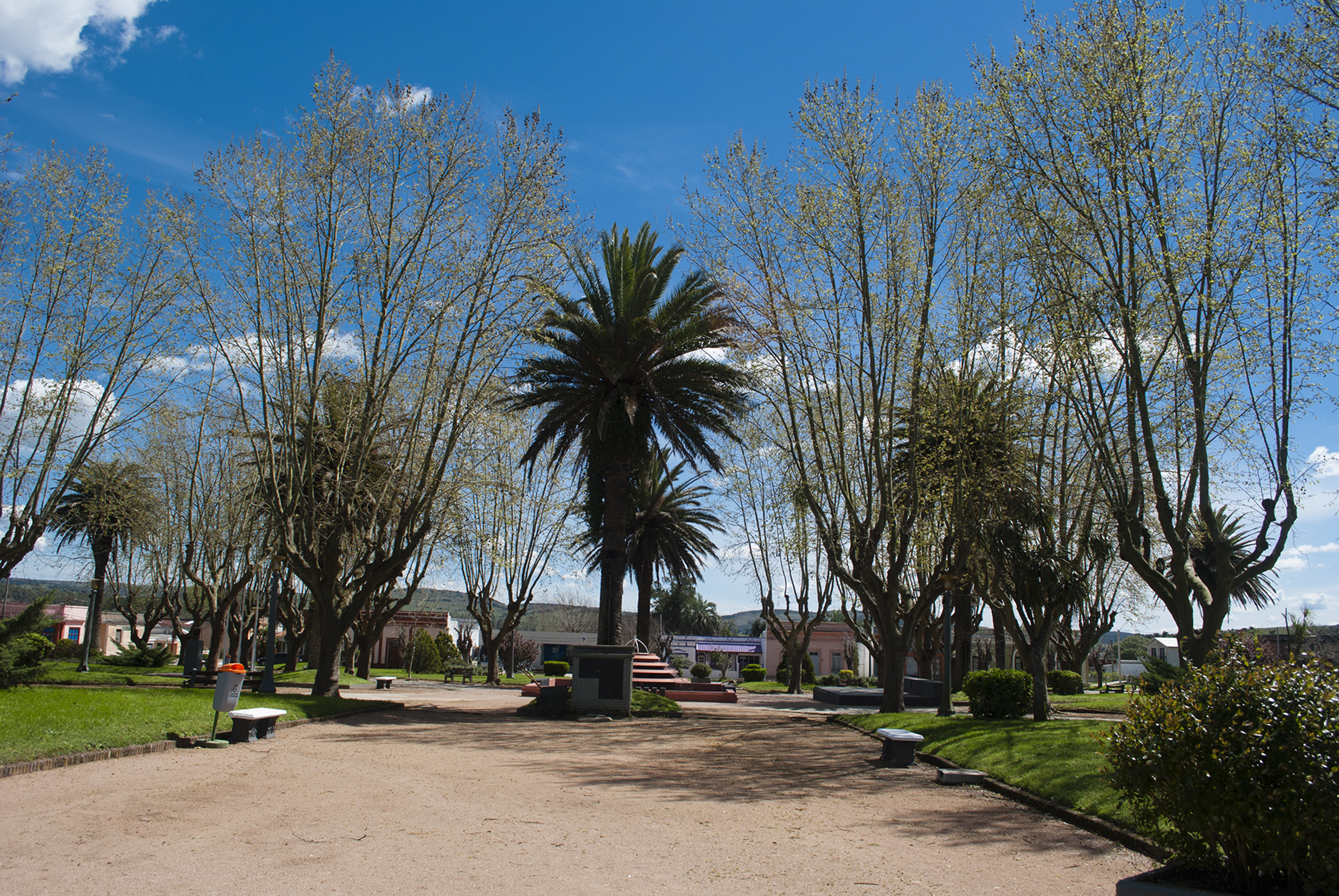
Plaza de Aiguá
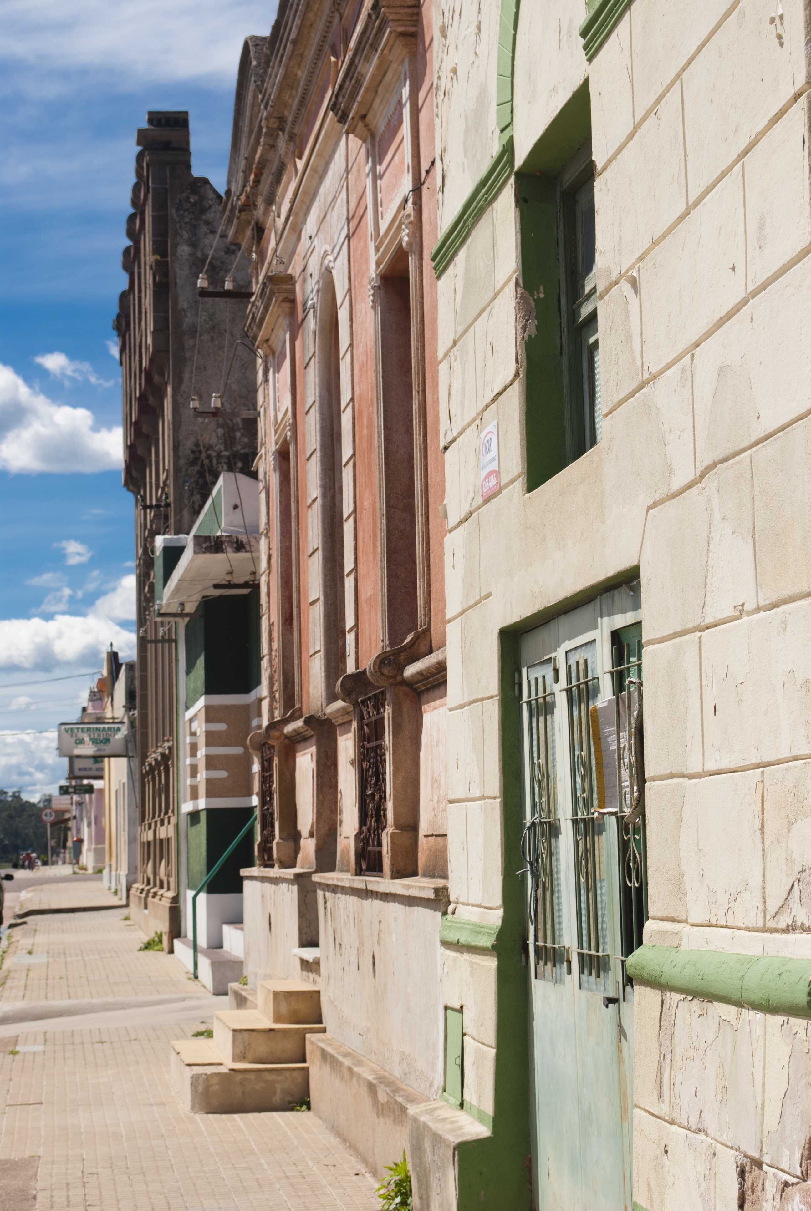
De las mas antiguas
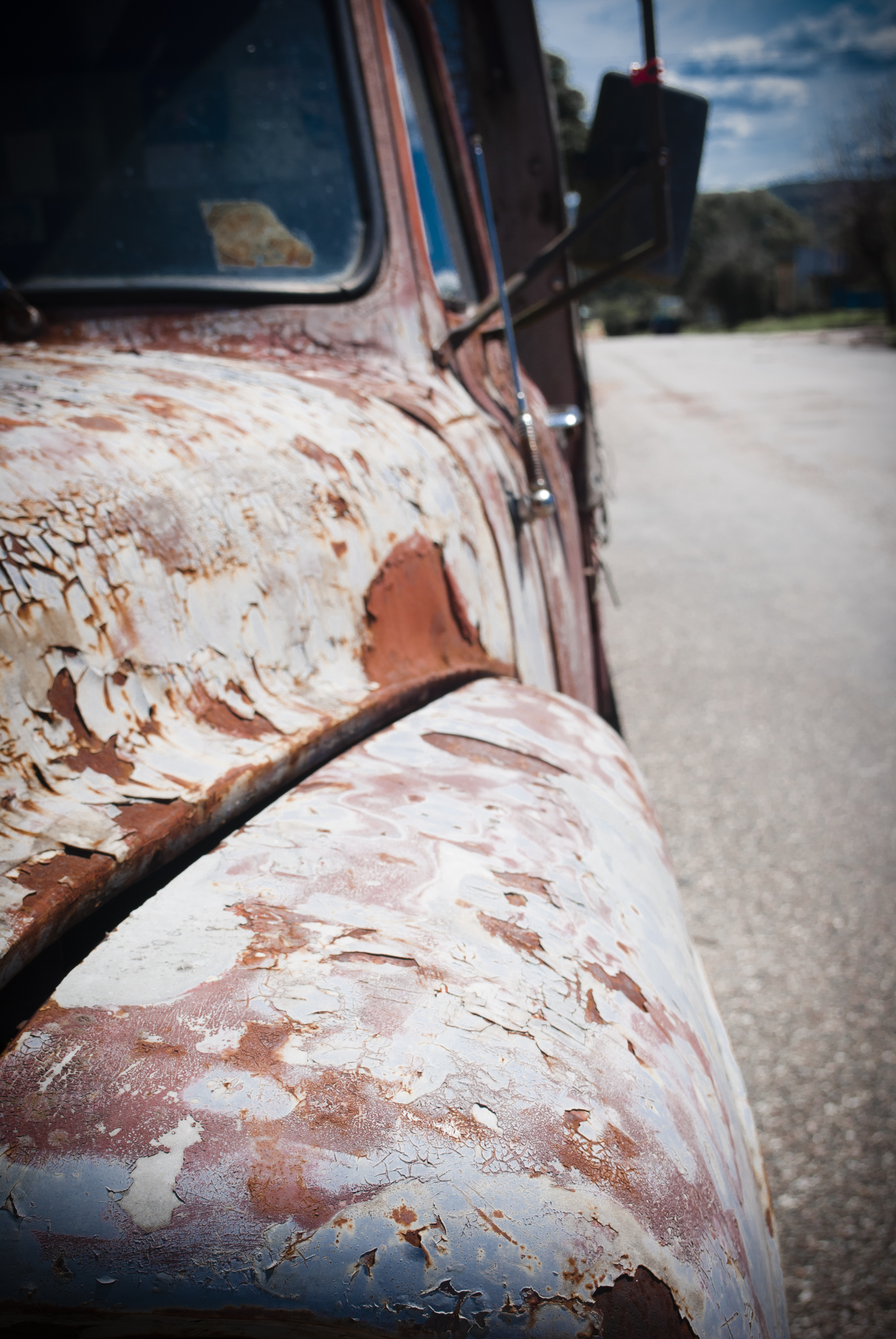
Cachilo en las calles de Aiguá
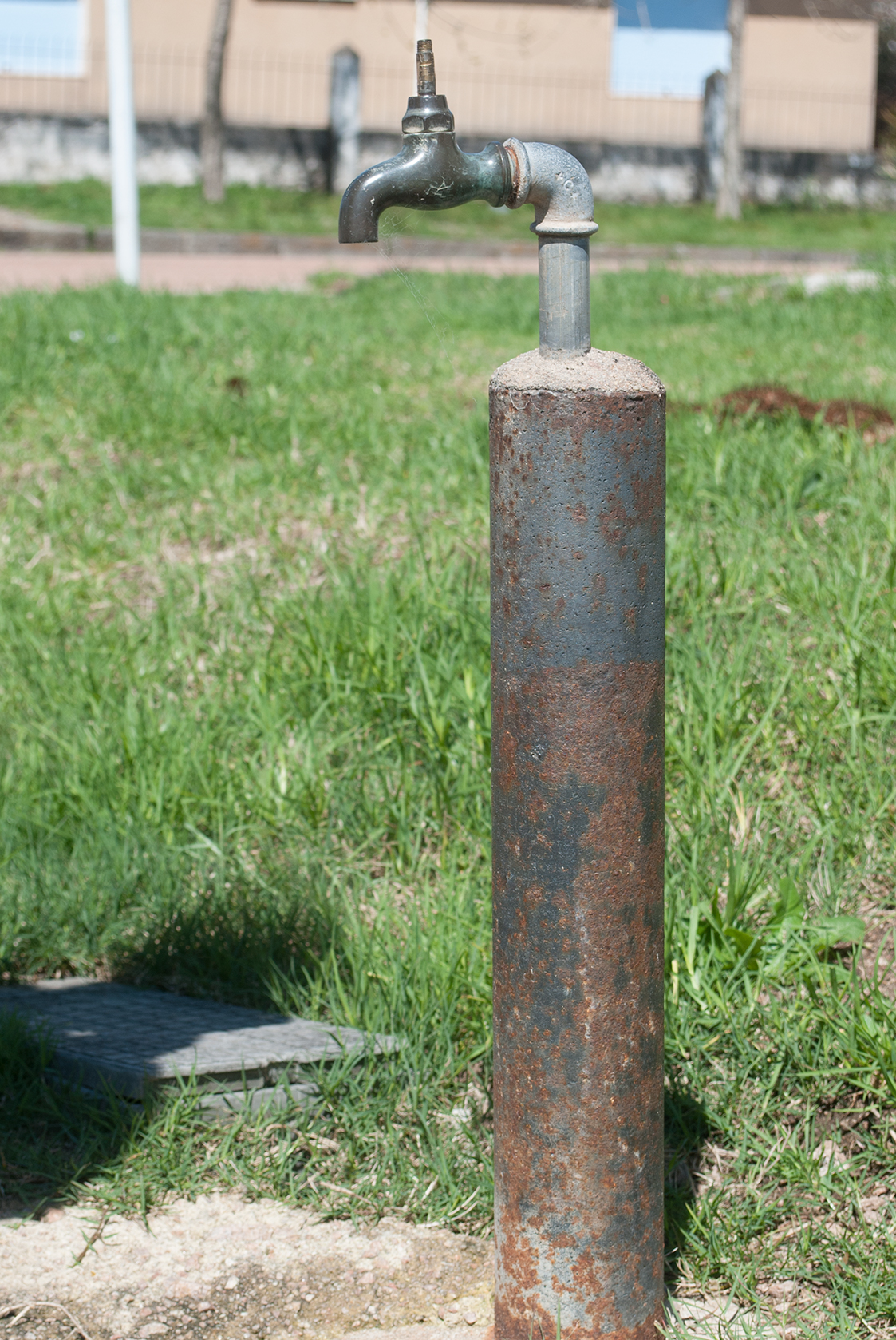
Canilla en la calle

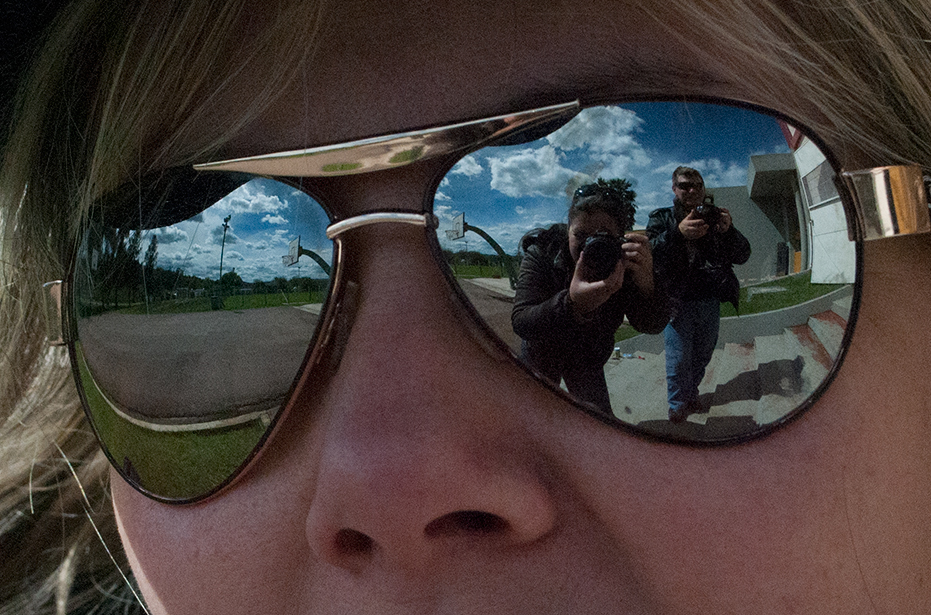
Una cámara atras de otra
Topographic Map of Estacion Aigua, Ruta 8 Brigadier Gral Juan Antonio Lavalleja, Departamento de Lavalleja, Uruguay
Find elevation by address:

Places near Estacion Aigua, Ruta 8 Brigadier Gral Juan Antonio Lavalleja, Departamento de Lavalleja, Uruguay:
Recent Searches:
- Elevation of Falling Spring Rd, Clyde, NC, USA
- Elevation of Kingsfield St, Castle Rock, CO, USA
- Elevation of AMELIA CT HSE, VA, USA
- Elevation of Abbey Dr, Virginia Beach, VA, USA
- Elevation of Brooks Lp, Spearfish, SD, USA
- Elevation of Panther Dr, Maggie Valley, NC, USA
- Elevation of Jais St - Wadi Shehah - Ras al Khaimah - United Arab Emirates
- Elevation of Shawnee Avenue, Shawnee Ave, Easton, PA, USA
- Elevation of Scenic Shore Dr, Kingwood Area, TX, USA
- Elevation of W Prive Cir, Delray Beach, FL, USA