Elevation of Española, NM, USA
Location: United States > New Mexico > Rio Arriba County >
Longitude: -106.08182
Latitude: 35.9910383
Elevation: 1704m / 5591feet
Barometric Pressure: 82KPa
Elevation Map:
Satellite Map:
Related Photos:

The Road to Chimayó
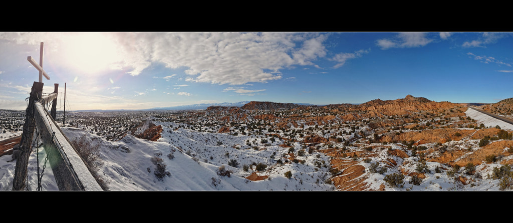
The Road to Chimayó 2

Are You With Me? Meri Walker 2015/07/02
Camel Rock
Point of View - Working the Frame

flowers for Guadalupe

Christmas in Chimayó
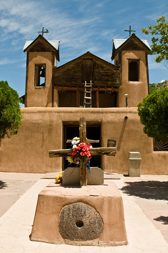
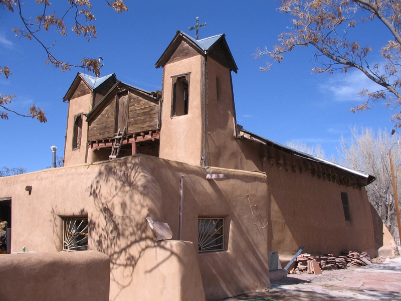
Santuario de Chimayo
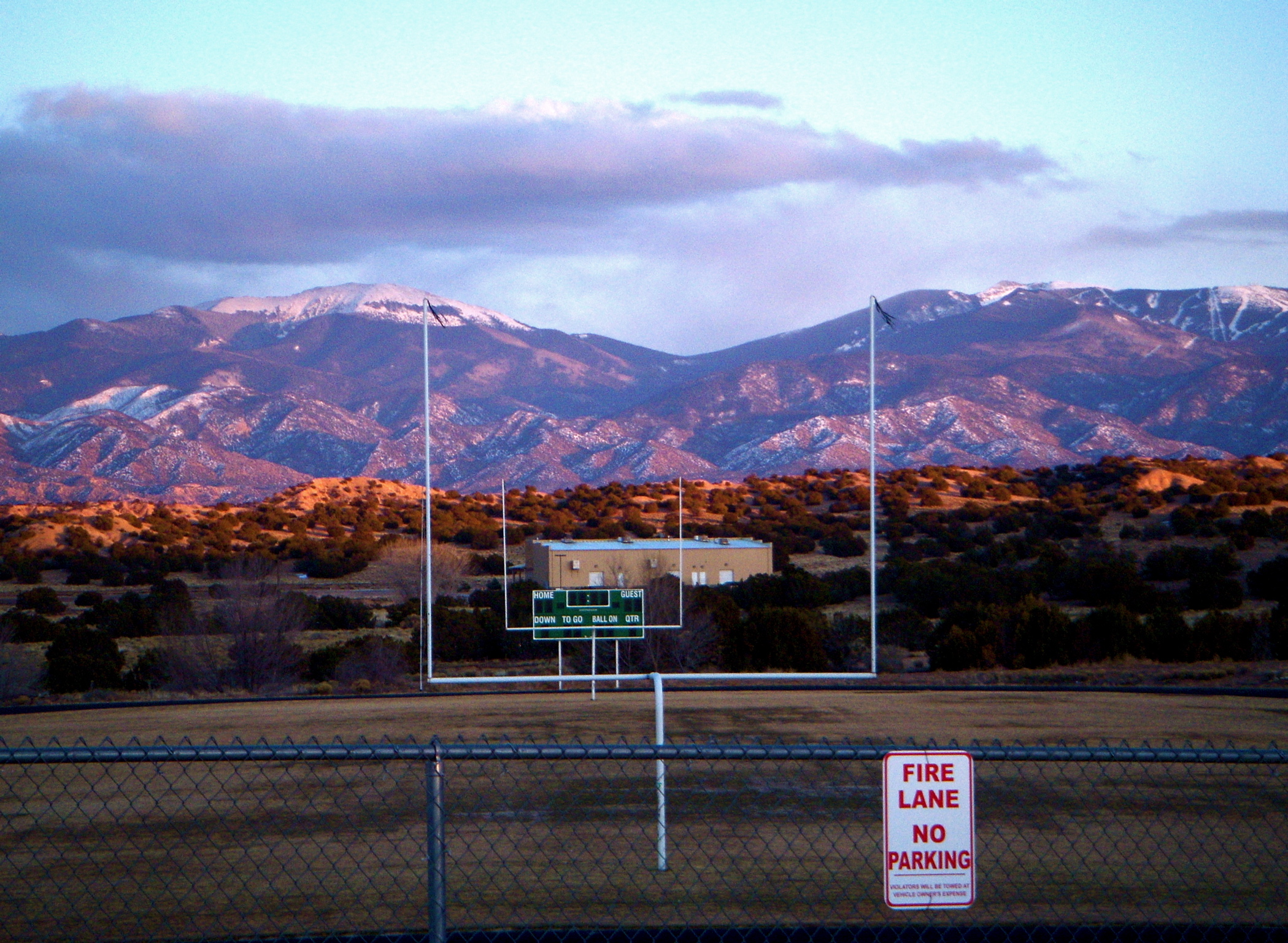
too cold for a game today

Tomi Boy

Juggling the Present of a Past, and a Now 2015/11/23
03.02.06
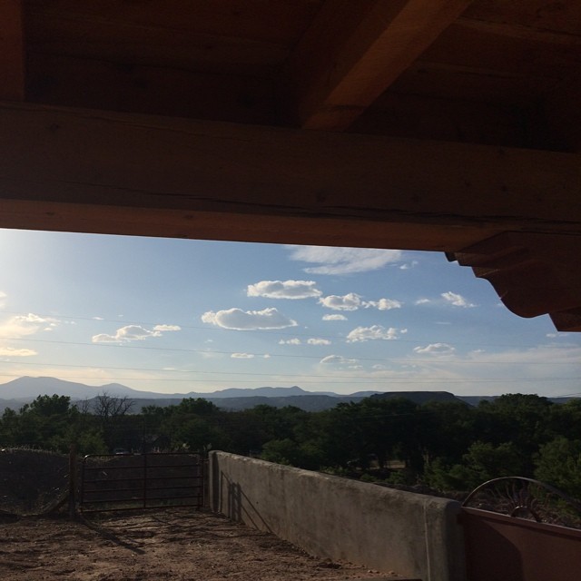
Enjoying the view from my parents' backyard- Jemez mountains and Black Mesa Volcano on the horizon
Evening Scene: Chimayo, New Mexico (NM)

A Clear View Explained: Eliza Badiou 2016/01/25

Hand-feeding Sushi to an Osprey
IMG_6003.JPG

Puye Cliff Dwellings (Mesa Top)

Chimayo Prayers
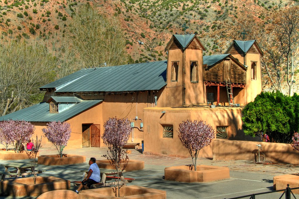
View of Santuario de Chimayo

Old Baldy

#newmexico #fantasy #horse #rainbow #alcade #espanola #nature #peaceful #streetphotography #agatagravantephotographer #iphone #followme #photoday
High Road Reservoir

266733719278026713_1001803820130102-6638-15peqa
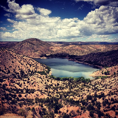
Santa Cruz Reservoir
IMG_9085.jpg
looking west
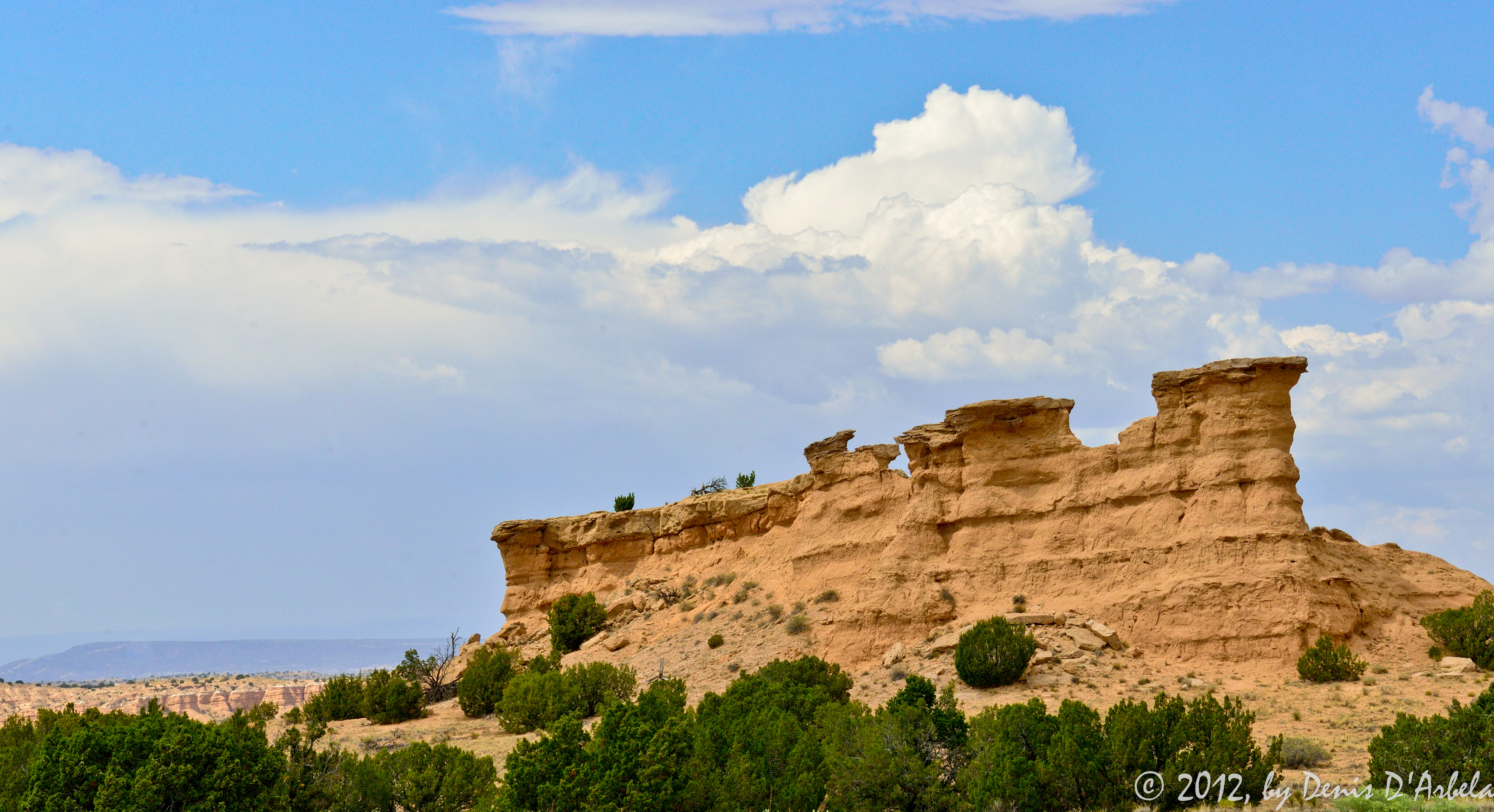
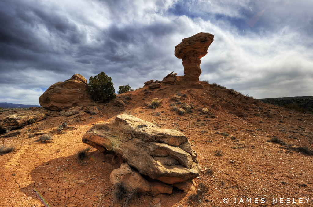
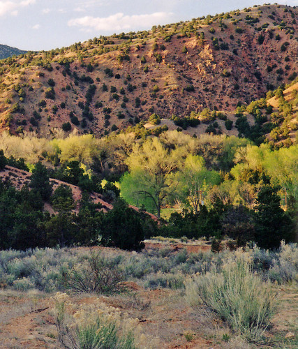
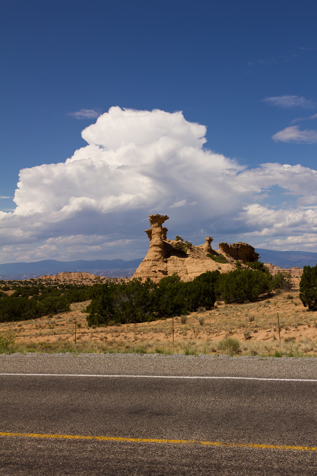
Rock formation
Black Mesa
IMG_9082.jpg
Big Head

puye-pan-left
IMG_9390.jpg

On the road in Santa Fe County New Mexico

high desert

high desert
[Group 8]-IMG_9070_IMG_9079-10 images.jpg
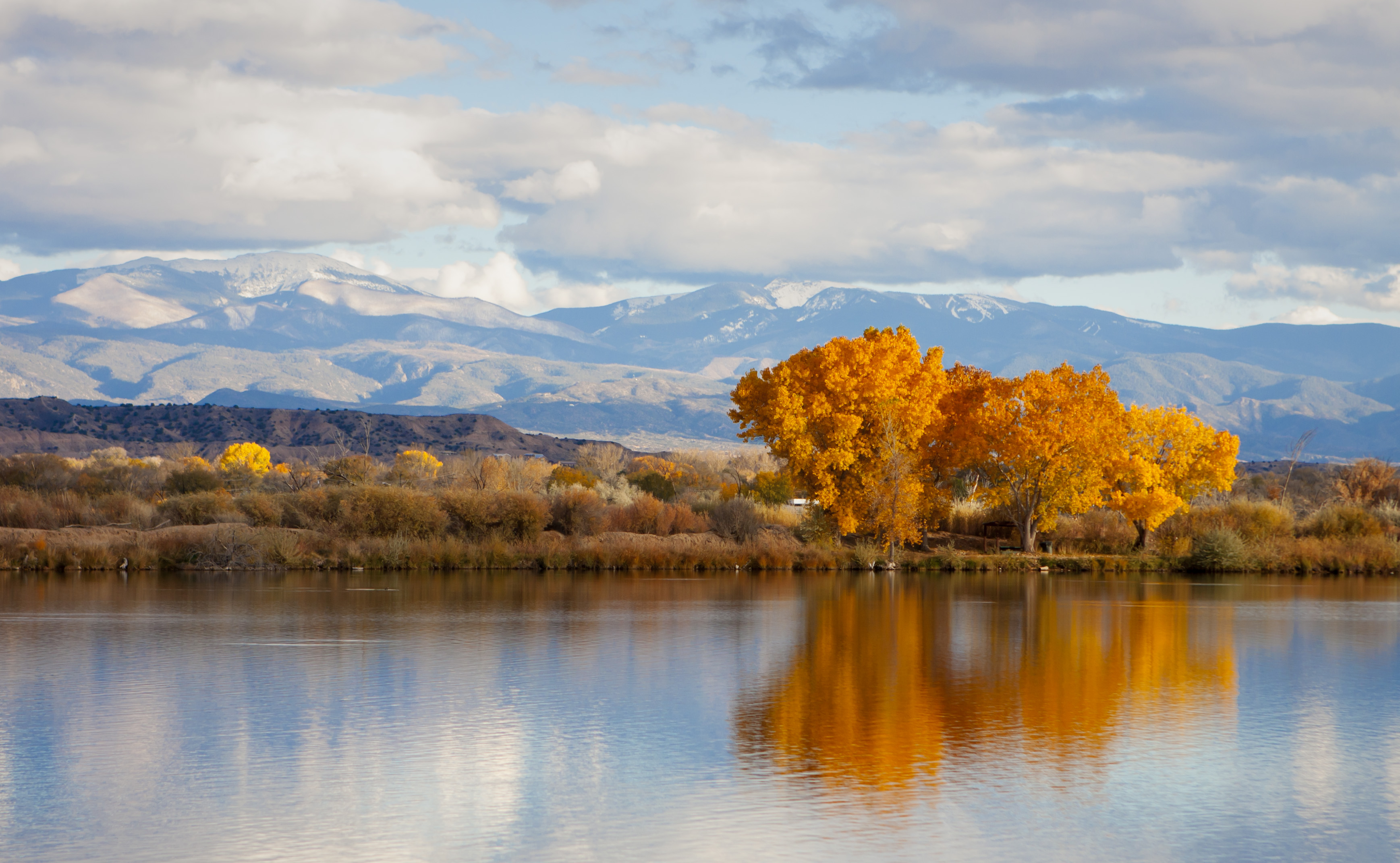
Autumn at Ohkay Owingeh Fishing Lakes

Interior Landscape: Lisa Peters 2015/12/20
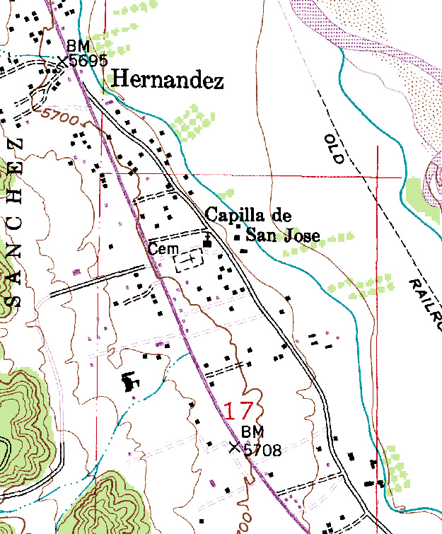
Topographic Map of Española, NM, USA
Find elevation by address:

Places in Española, NM, USA:
N Riverside Dr, Española, NM, USA
2 Kee St, Española, NM, USA
Co Rd 17, Española, NM, USA
El Llano Rd, Española, NM, USA
Fairview Ln, Española, NM, USA
New Mexico 30
Places near Española, NM, USA:
New Mexico 30
901 Calle Don Pedro
164 Lower San Pedro Dr
313 N Riverside Dr
Co Rd 17, Española, NM, USA
2 Kee St, Española, NM, USA
Fairview Ln, Española, NM, USA
Santa Cruz
18 Amar Das Ct
N Riverside Dr, Española, NM, USA
Sombrillo
El Llano Rd, Española, NM, USA
1522 Nm-291
E Frontage Rd, Santa Fe, NM, USA
El Valle De Arroyo Seco
24 La Puebla Rd
27a W Arroyo Alamo
36 Tunyo Po, San Ildefonso Pueblo, NM, USA
27 Co Rd 84d
San Ildefonso Pueblo
Recent Searches:
- Elevation of Corso Fratelli Cairoli, 35, Macerata MC, Italy
- Elevation of Tallevast Rd, Sarasota, FL, USA
- Elevation of 4th St E, Sonoma, CA, USA
- Elevation of Black Hollow Rd, Pennsdale, PA, USA
- Elevation of Oakland Ave, Williamsport, PA, USA
- Elevation of Pedrógão Grande, Portugal
- Elevation of Klee Dr, Martinsburg, WV, USA
- Elevation of Via Roma, Pieranica CR, Italy
- Elevation of Tavkvetili Mountain, Georgia
- Elevation of Hartfords Bluff Cir, Mt Pleasant, SC, USA