Elevation of Erumapetty, Kerala, India
Location: India > Kerala > Thrissur >
Longitude: 76.1580852
Latitude: 10.677491
Elevation: 36m / 118feet
Barometric Pressure: 101KPa
Elevation Map:
Satellite Map:
Related Photos:

View Of Trichur Suburb from Vadakunathan Residency

Another view Of Trichur Suburb from Vadakunathan Residency

Vilangakunnu, Thrissur, God's Own Country

Guruvayur Temple .. view from Vadakke Nada.. Sep 2015

Green...sign of prosperity..

Before Sunrise

feasting!

The Bharathappuzha

Athirapally Waterfalls

Purple heron

Narimada - Kunnamkulam
#nature #TagsForLikes #sky #sun #summer #beach #beautiful #pretty #sunset #sunrise #blue #flowers #night #tree #twilight #clouds #beauty #light #cloudporn #photooftheday #love #green #skylovers #dusk #weather #day #red #iphonesia #mothernature

Dying river

Like the trees, we are visitors to the earth.

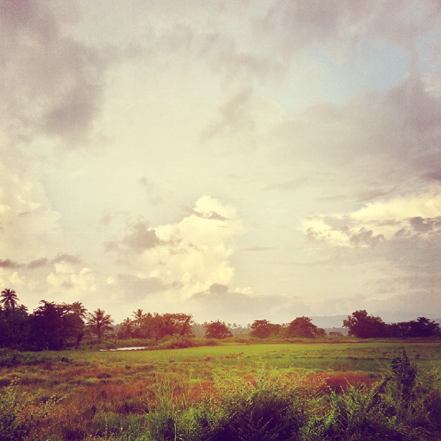
It's taken from my sweet village
Topographic Map of Erumapetty, Kerala, India
Find elevation by address:

Places near Erumapetty, Kerala, India:
Thalakottukara
Peruvanmala
Pilakkad
Eranellur
The River Retreat Heritage Ayurvedic Resort
Ongallur
Pallikara
Harinagar
Punkunnam
Jubilee Mission Hospital, Thrissur
Mullassery
Ayyanthole
Collectorate In Thrissur
Kalyan Nagar
Thrissur
Thekkinkadu Maidan
Sri Vadakkunnathan Temple
Hotel Niya Regency
Thrissur
Chavakkad
Recent Searches:
- Elevation of Elwyn Dr, Roanoke Rapids, NC, USA
- Elevation of Congressional Dr, Stevensville, MD, USA
- Elevation of Bellview Rd, McLean, VA, USA
- Elevation of Stage Island Rd, Chatham, MA, USA
- Elevation of Shibuya Scramble Crossing, 21 Udagawacho, Shibuya City, Tokyo -, Japan
- Elevation of Jadagoniai, Kaunas District Municipality, Lithuania
- Elevation of Pagonija rock, Kranto 7-oji g. 8"N, Kaunas, Lithuania
- Elevation of Co Rd 87, Jamestown, CO, USA
- Elevation of Tenjo, Cundinamarca, Colombia
- Elevation of Côte-des-Neiges, Montreal, QC H4A 3J6, Canada