Elevation map of Errachidia Province, Morocco
Location: Morocco > Meknes-tafilalet >
Longitude: -4.7277528
Latitude: 31.9051275
Elevation: 1180m / 3871feet
Barometric Pressure: 88KPa
Elevation Map:
Satellite Map:
Related Photos:
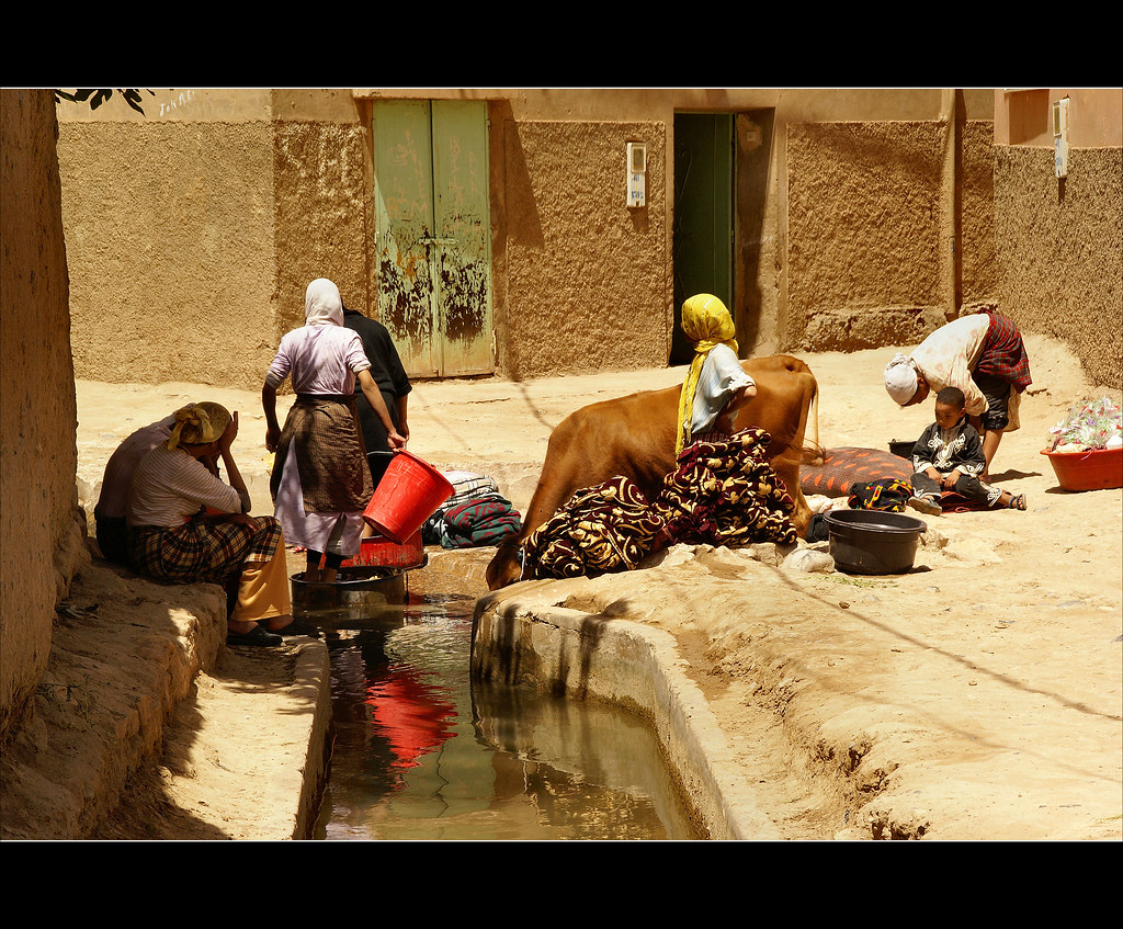
the laundry.........
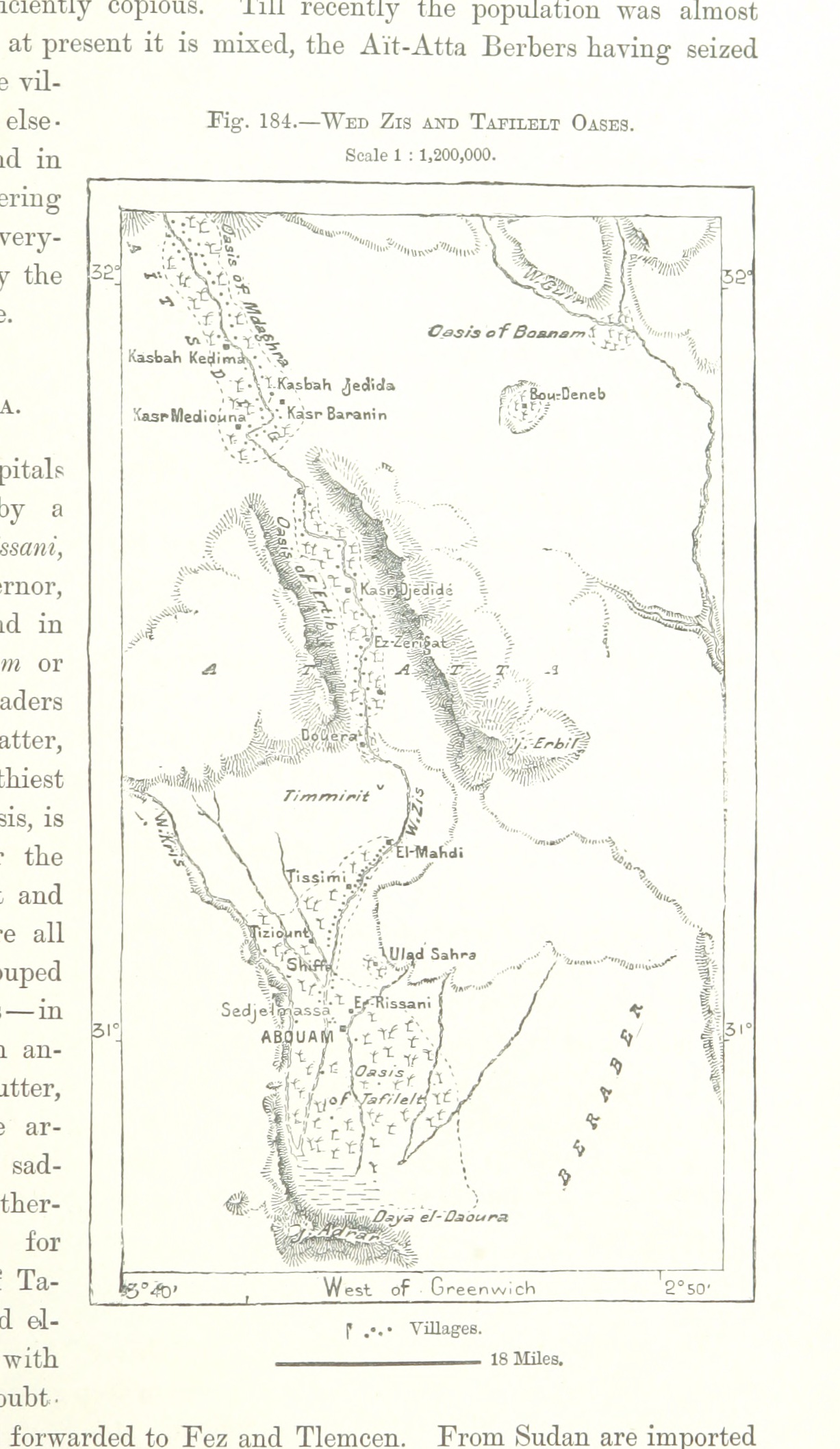
Image taken from page 493 of 'The Earth and its Inhabitants. The European section of the Universal Geography by E. Reclus. Edited by E. G. Ravenstein. Illustrated by ... engravings and maps'
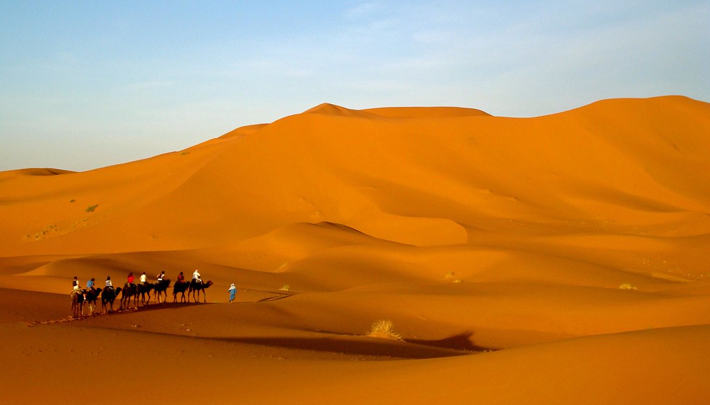
Erg Chebbi desert, Morocco
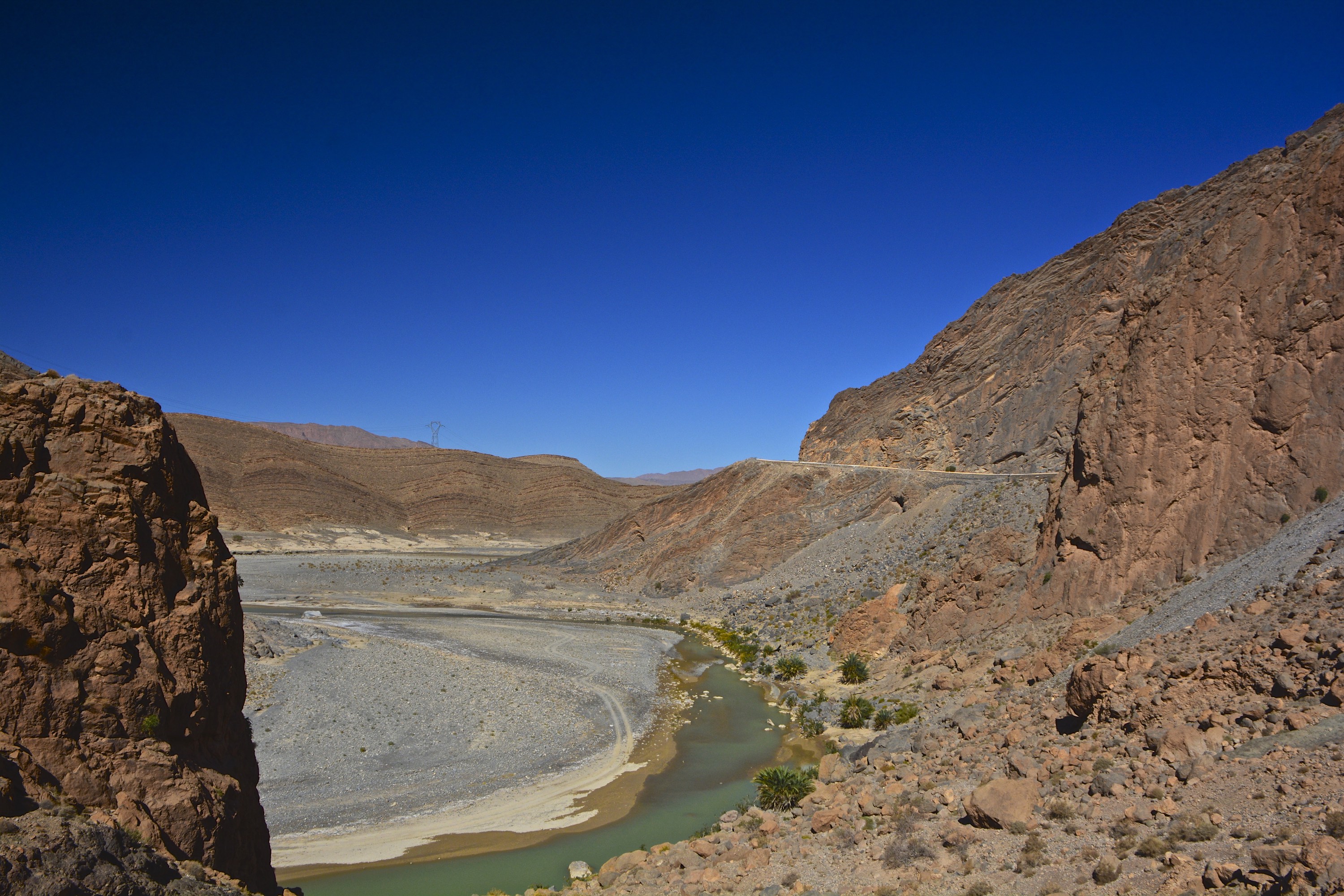
Tunnel du Légionnaire
Topographic Map of Errachidia Province, Morocco
Find elevation by address:

Places in Errachidia Province, Morocco:
Places near Errachidia Province, Morocco:
Meknes-tafilalet
Assellab
Café Restaurant Ingourif
Fleuve De Ziz
Er-rich
Tillicht
Erfoud
Rissani
Tamtetoucht
Todra River
Tinghir
Drâa-tafilalet
Tinghir Province
Recent Searches:
- Elevation of 72-31 Metropolitan Ave, Middle Village, NY, USA
- Elevation of 76 Metropolitan Ave, Brooklyn, NY, USA
- Elevation of Alisal Rd, Solvang, CA, USA
- Elevation of Vista Blvd, Sparks, NV, USA
- Elevation of 15th Ave SE, St. Petersburg, FL, USA
- Elevation of Beall Road, Beall Rd, Florida, USA
- Elevation of Leguwa, Nepal
- Elevation of County Rd, Enterprise, AL, USA
- Elevation of Kolchuginsky District, Vladimir Oblast, Russia
- Elevation of Shustino, Vladimir Oblast, Russia