Elevation of Erie Township, OH, USA
Location: United States > Ohio > Ottawa County >
Longitude: -83.014652
Latitude: 41.5685463
Elevation: 170m / 558feet
Barometric Pressure: 99KPa
Elevation Map:
Satellite Map:
Related Photos:

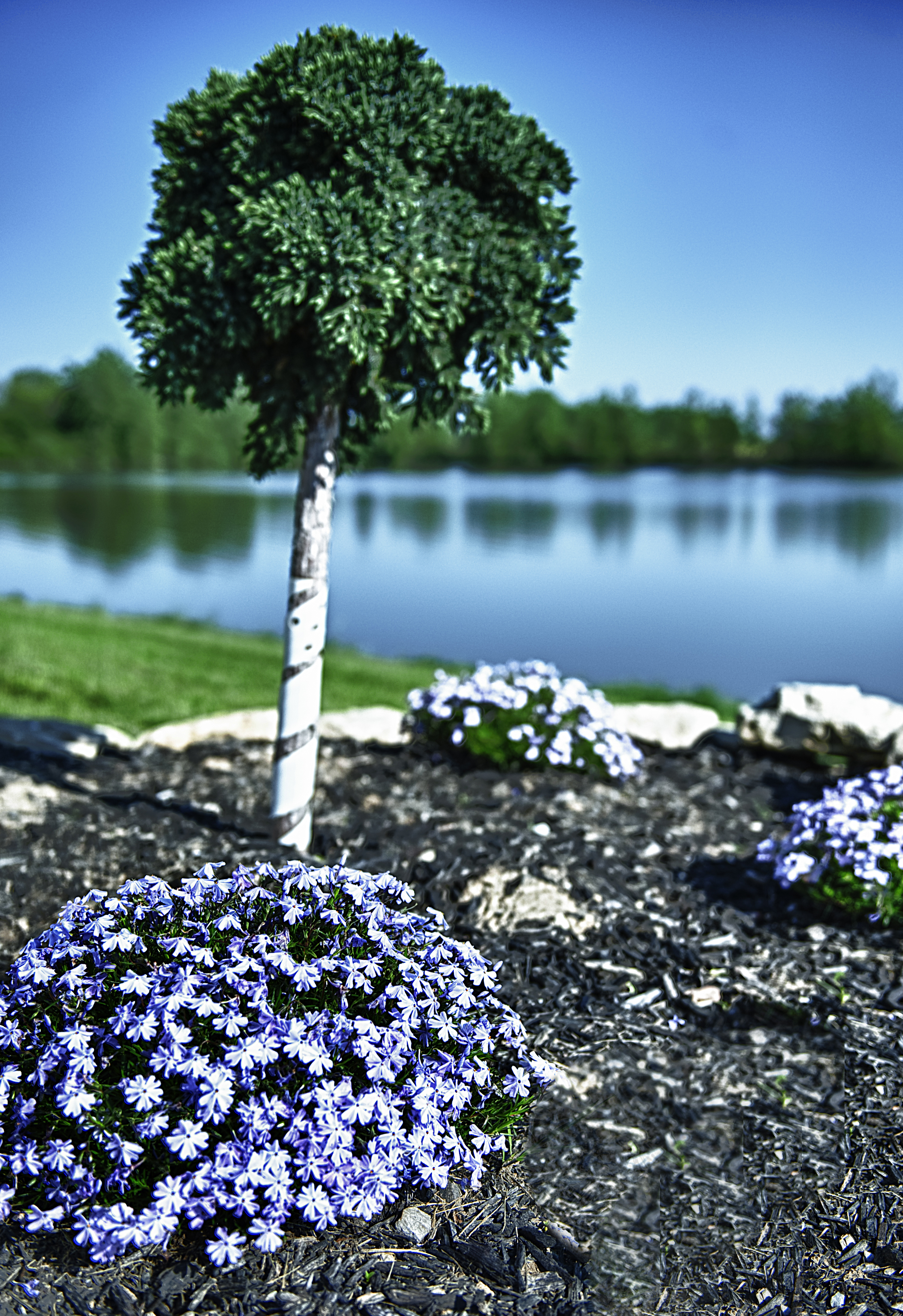
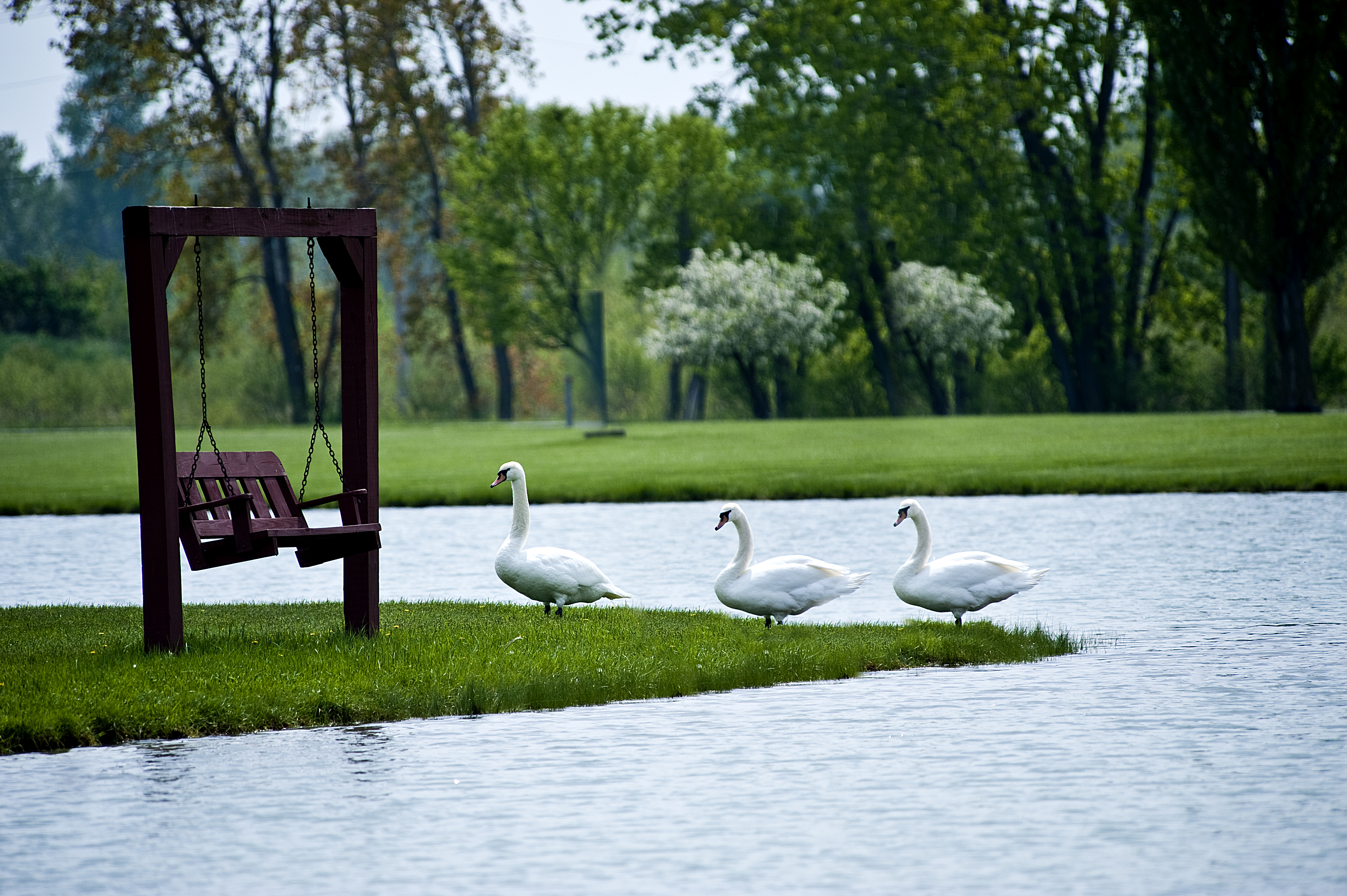
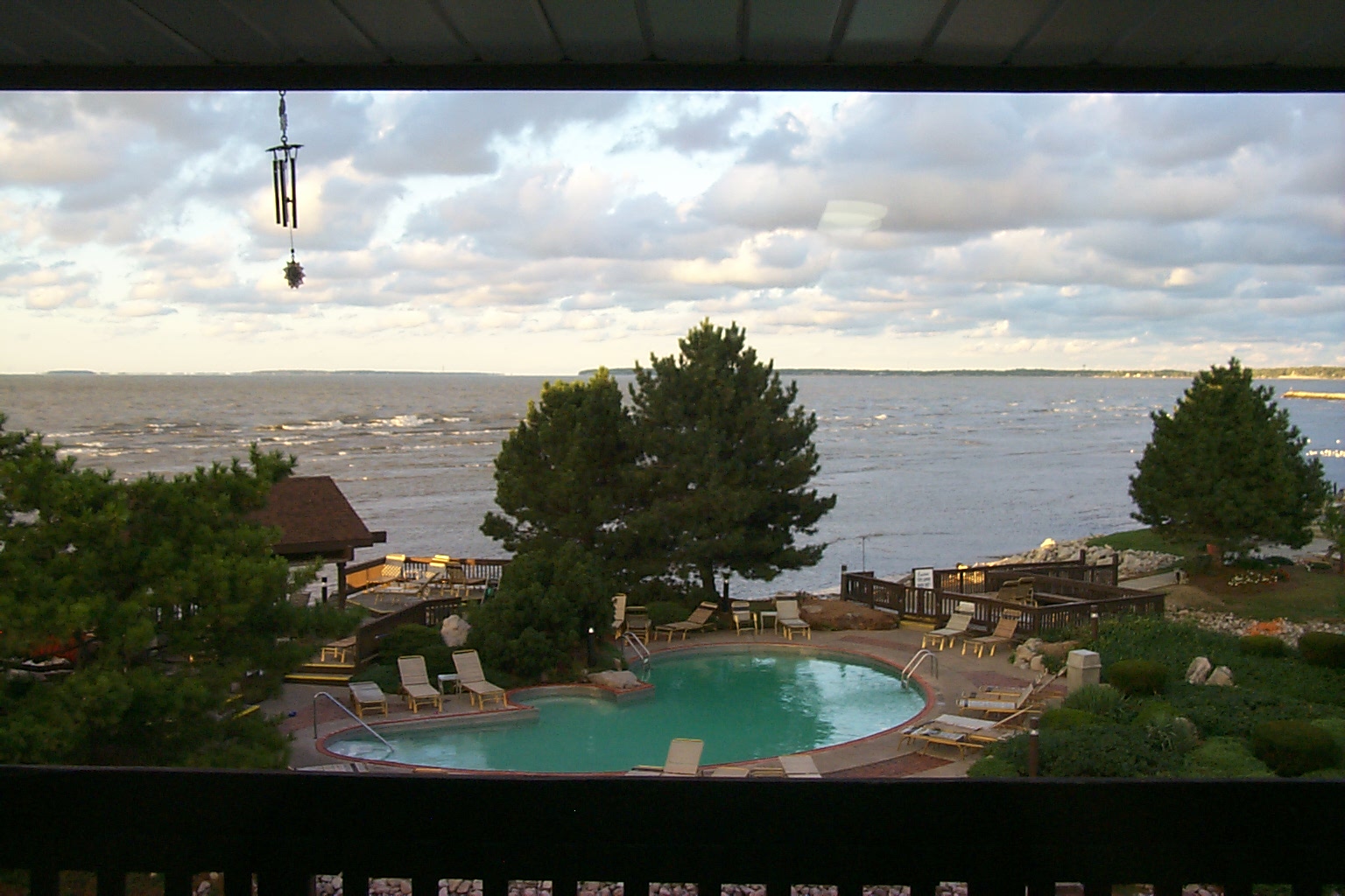
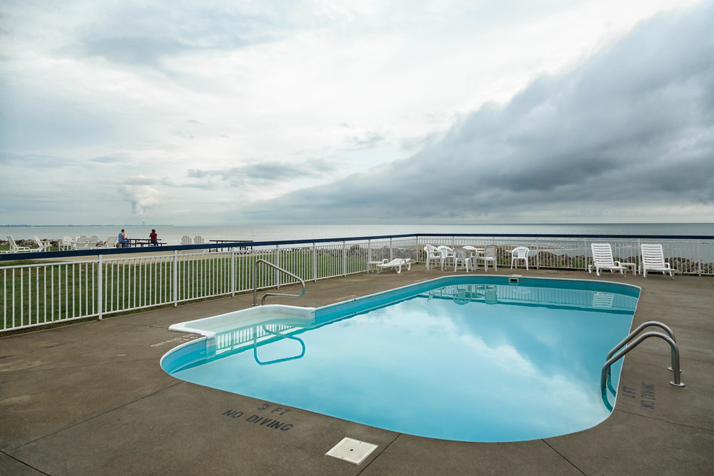
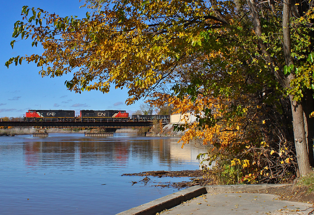
Erie Islands Resort- The View is Great From Here
Erie Islands Resort- The View is Great From Here

DDA-Megascops asio-140505-004.jpg
Erie Islands Resort- The View is Great From Here
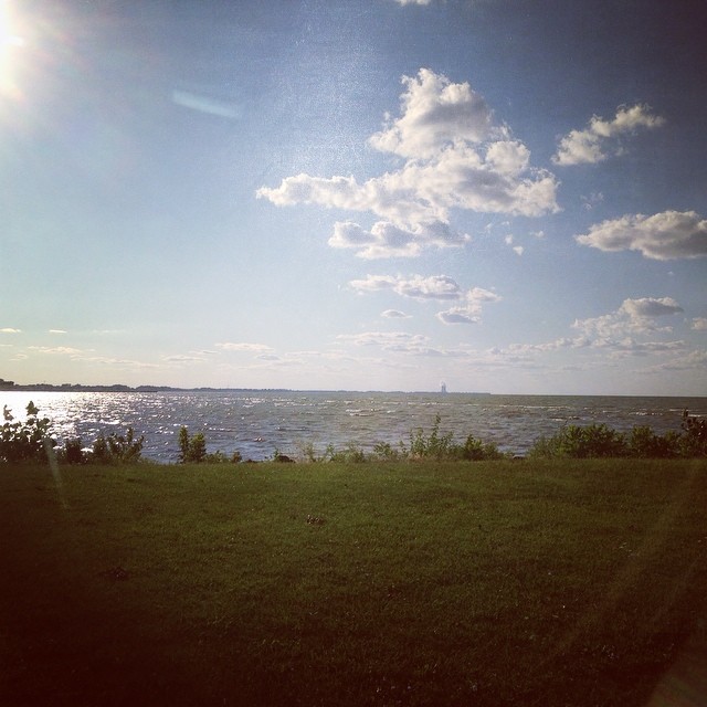
View to a blue sky
2012-04-29 Day 120/366
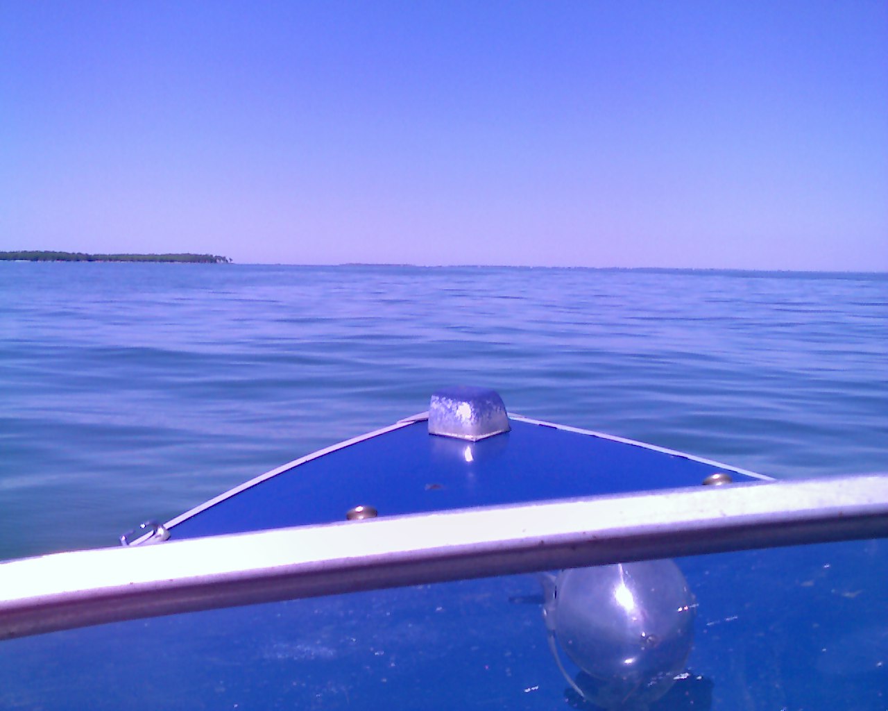
Lake Earie view from boat 2

Erie Islands Resort- The View is Great From Here

Prothonotary Warbler - Magee Marsh-2011.

Magnolia Warbler - Magee Marsh, Ohio --May 2009
Erie Islands Resort- The View is Great From Here
View of Lake Eire from hotel in Port Clinton Ohio #vacation #lake #erie #summer
Magee Marsh - Ottawa County, Ohio.
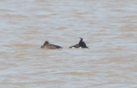
eBird Doc: Ohio Tufted Duck
2011-02-15 Day 46/365
Erie Islands Resort- The View is Great From Here
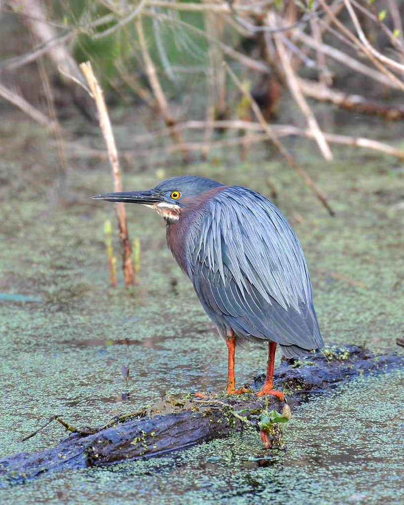
Green Heron
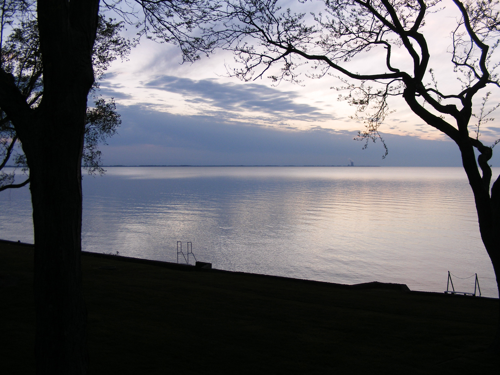
Lake Erie from Port Clinton
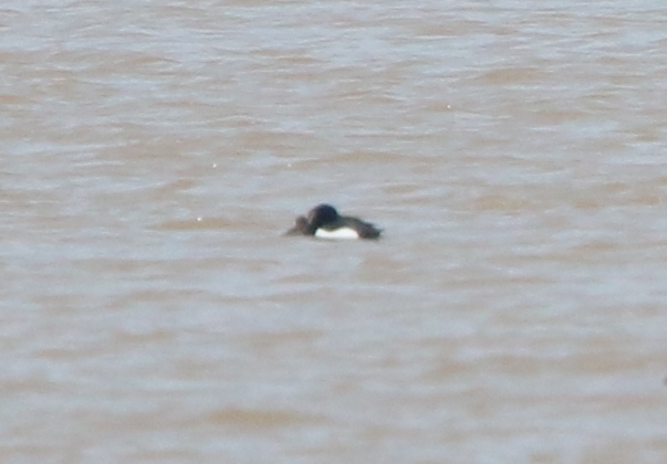
eBird Doc: Ohio Tufted Duck
View from lighthouse
2011-03-07 Day 66/365
Sandusky River
Lake Erie Vacation No. 1, Port Clinton, OH, September, 2012

Testing, Testing...

Catawba Island
2007-07-13_192510

2007-07-11_193531
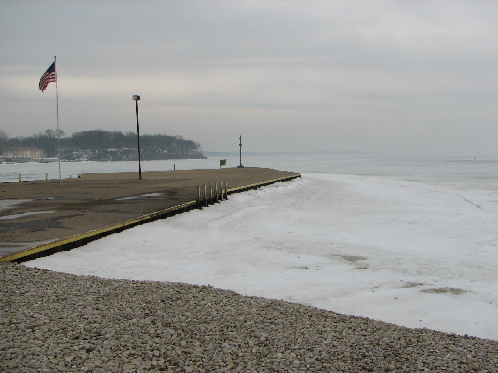
Frozen Lake Erie

Marblehead Peninsula OH

More Wildflowers

Catawba Island

Catawba Island

#lakeerie #ice #winter #ohio #nwohio #portclinton #tekkbabe859 #blondebetweenthemountains
Fat Foreigner

2014-03-14 week 11 - My Local Area
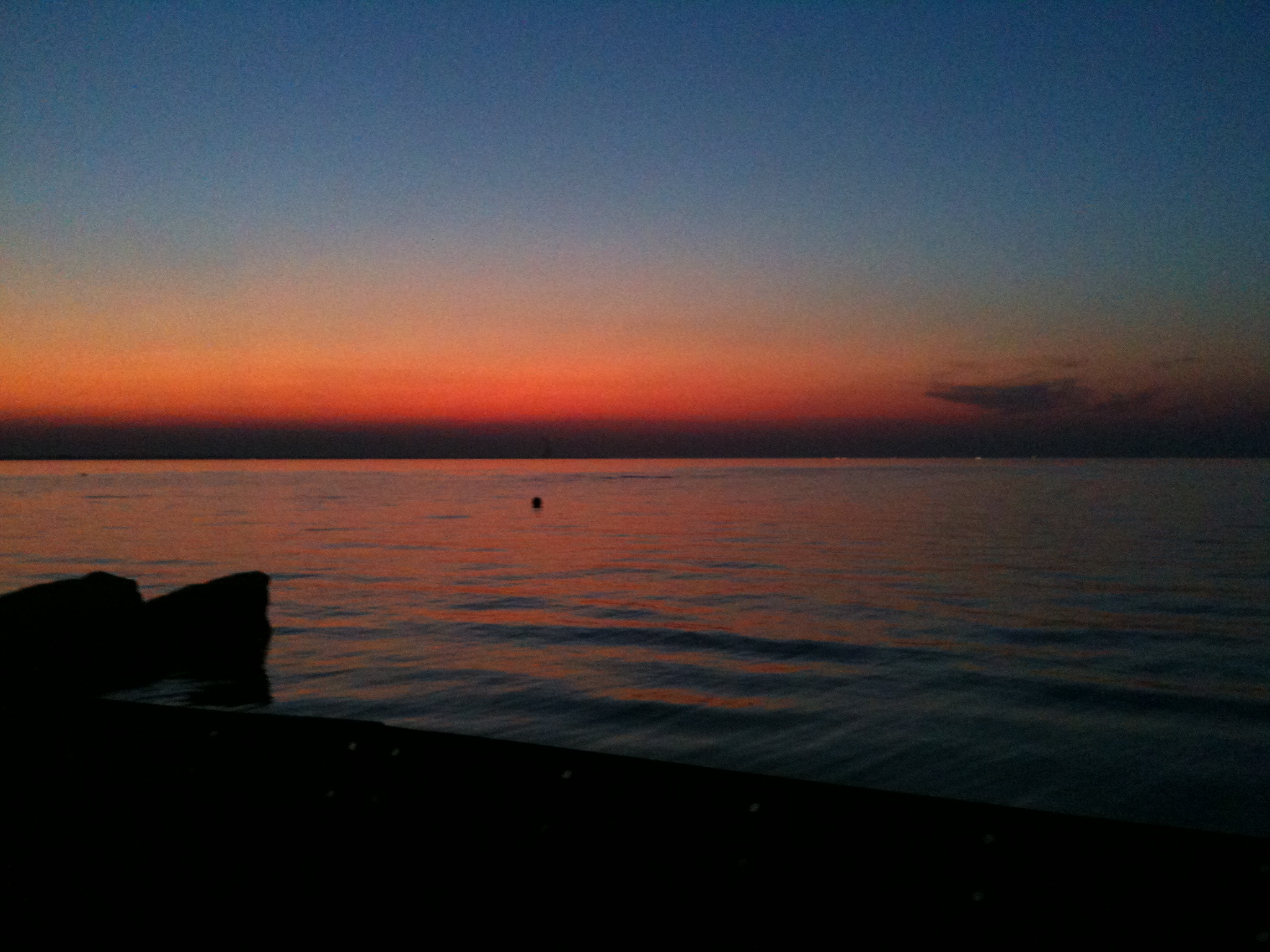
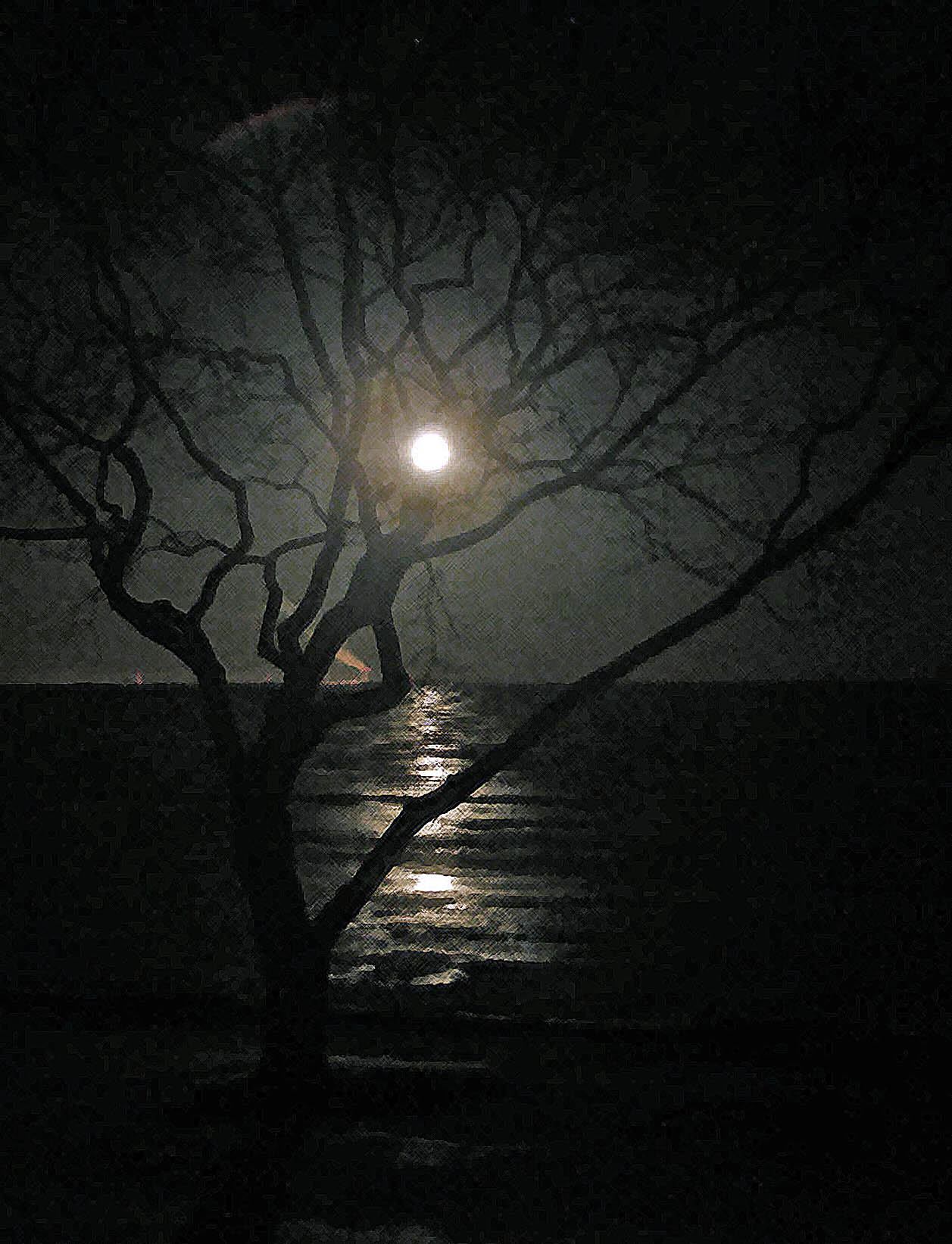
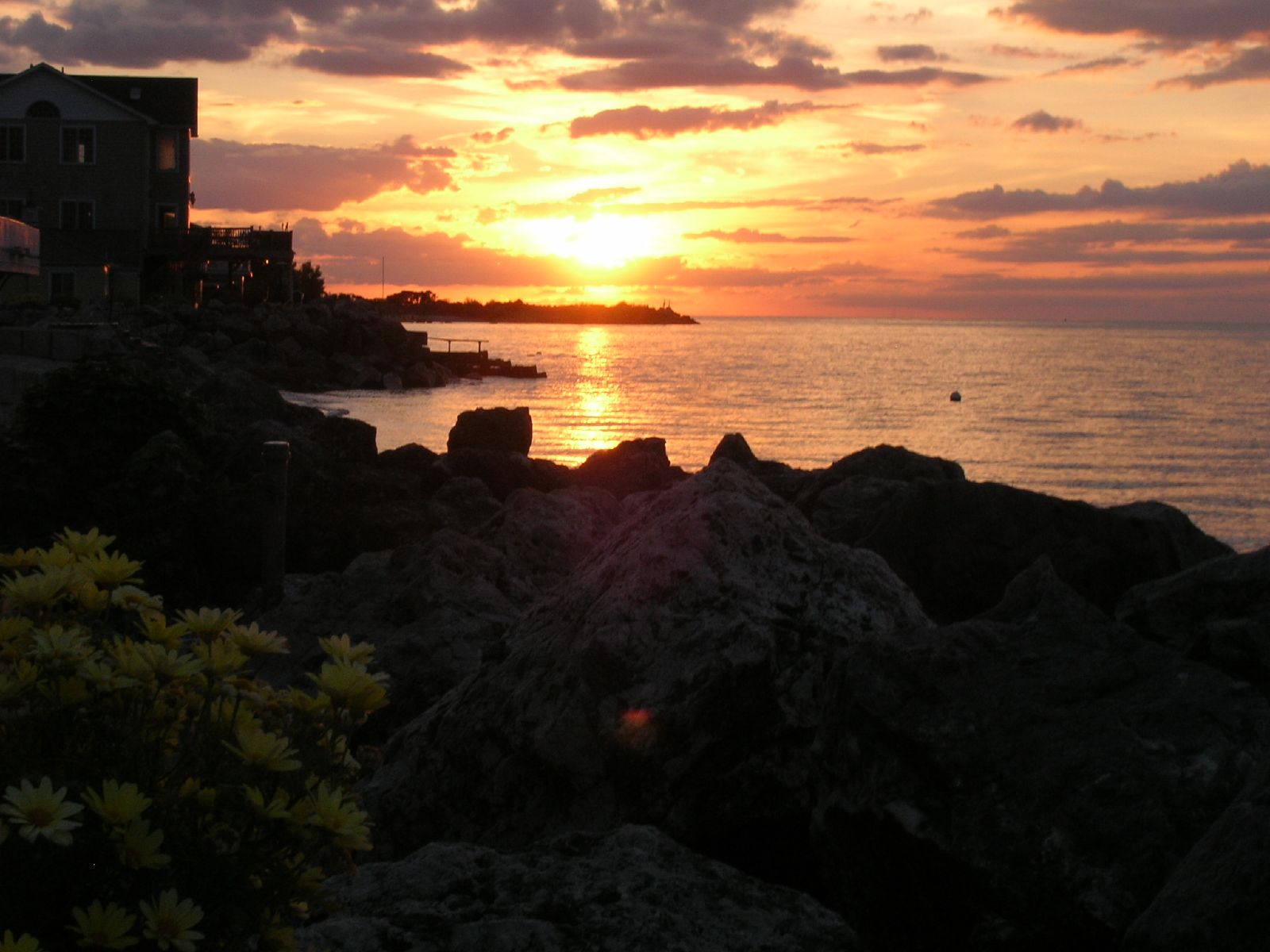
Lake Erie Sunset
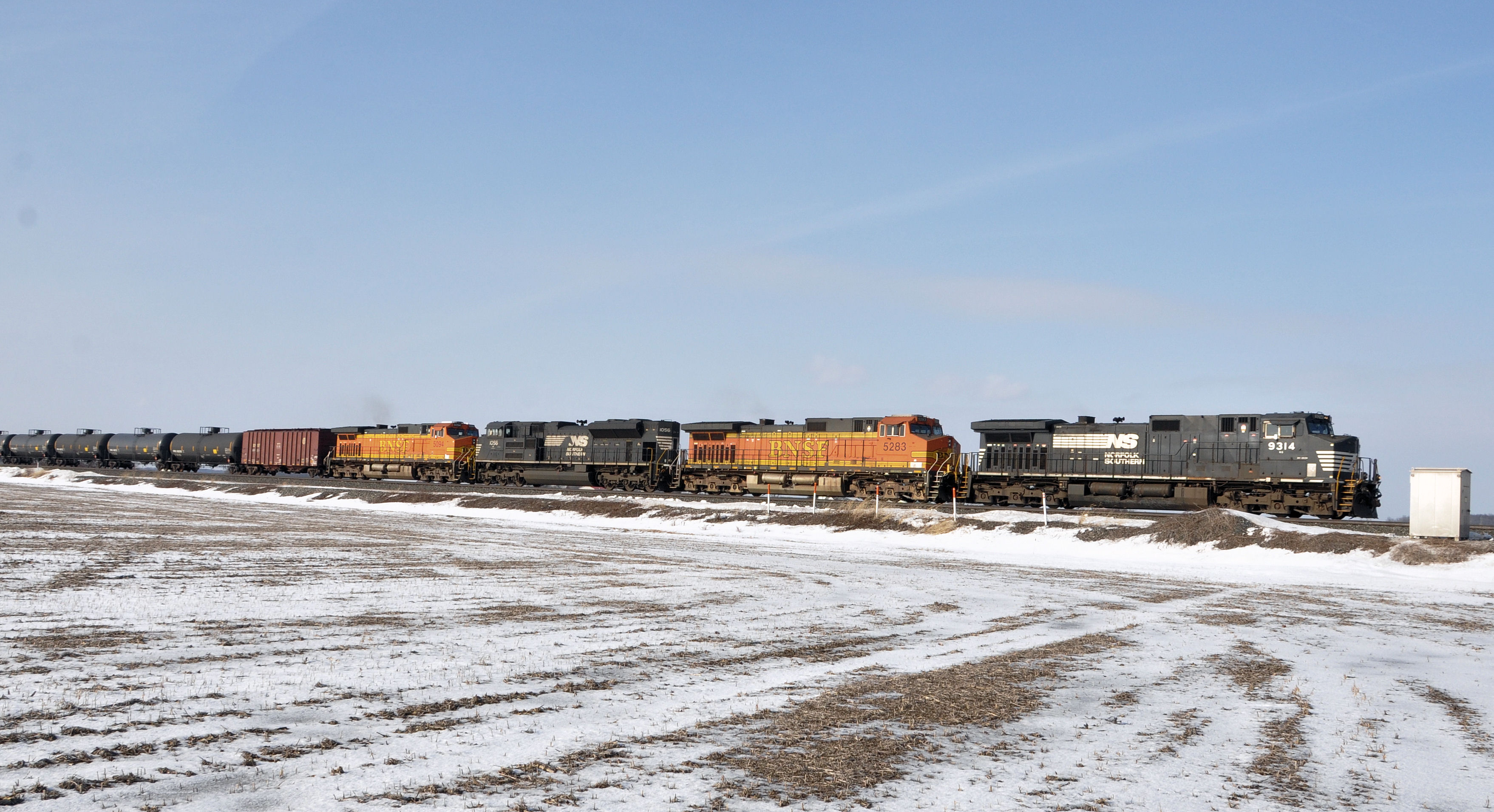
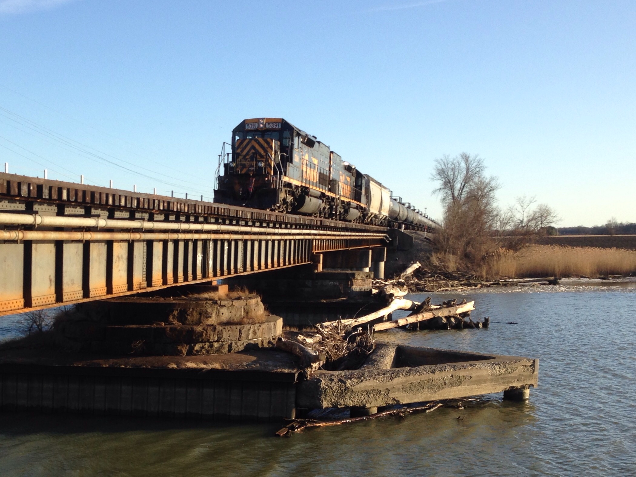
NS#9314 EAST NS 66Z VOGEL RD OAK HARBOR,OH 1-31-15 SATURDAY
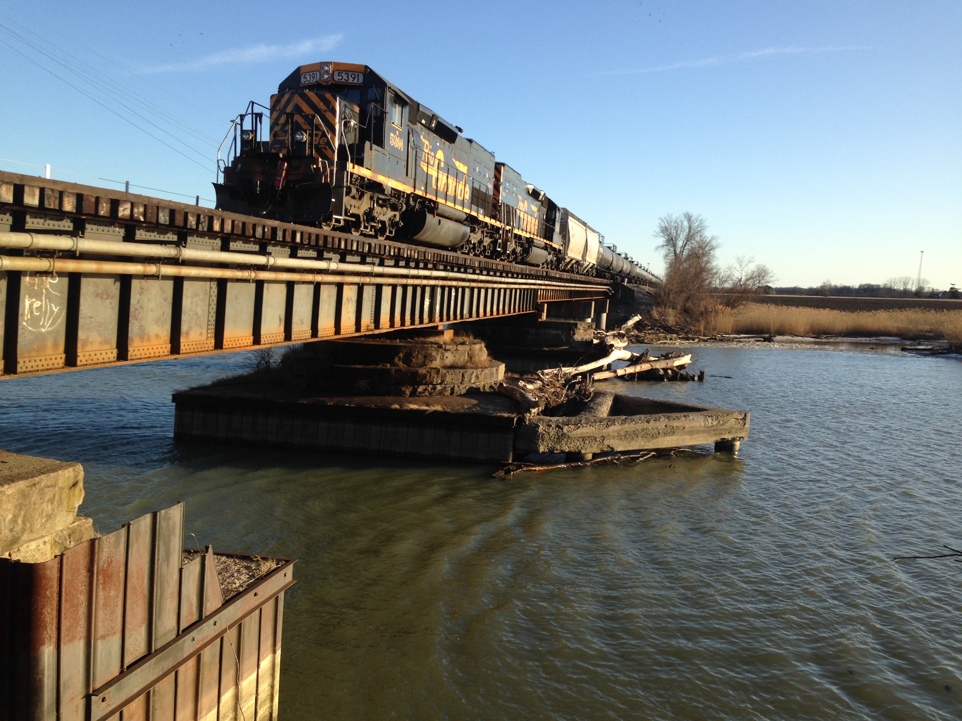
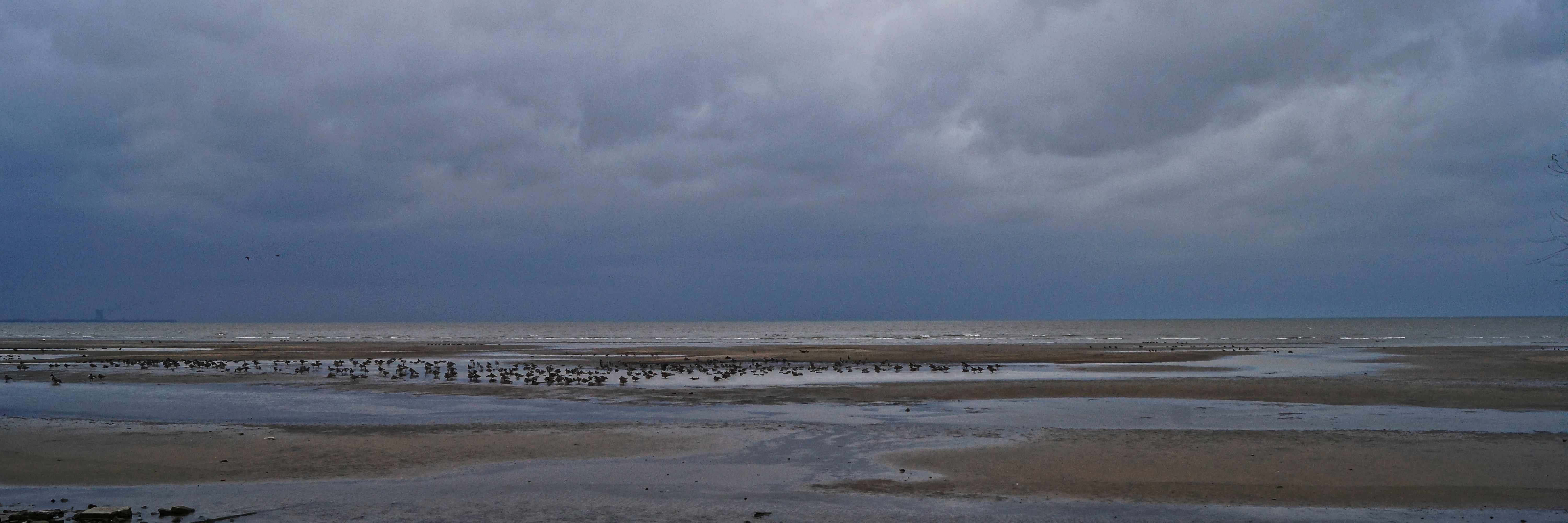
WLE Oak Harbor
WLE Oak Harbor

Marsh Tree
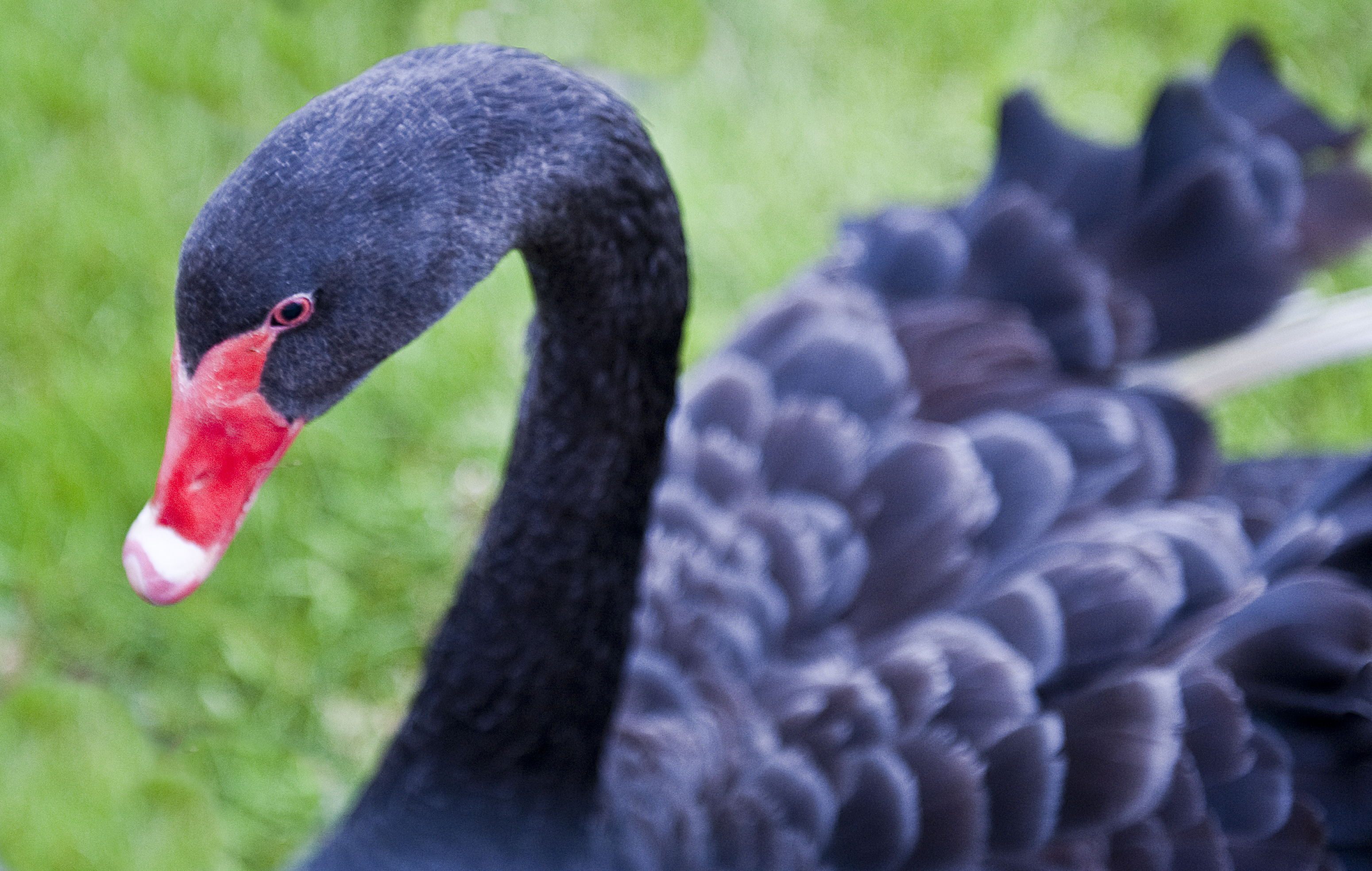
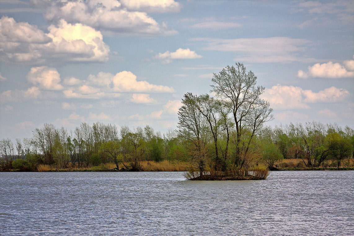
Very Eerie
Topographic Map of Erie Township, OH, USA
Find elevation by address:

Places in Erie Township, OH, USA:
Places near Erie Township, OH, USA:
Lacarne
21 Monroe St, Lacarne, OH, USA
Ottawa County
2045 Sandy Ln
Carroll Township
County Road 128
W Hollywood Dr, Oak Harbor, OH, USA
2720 Co Rd 198
Riley Township
N River Rd, Fremont, OH, USA
773 Co Rd 127
Sandusky Township
Rocky-Ridge Rd, Oak Harbor, OH, USA
Benton Township
730 Hagerty Dr
2100 Countryside Dr
Ohio 53
1200 North St
420 Sandusky Ave
Sandusky County
Recent Searches:
- Elevation of Corso Fratelli Cairoli, 35, Macerata MC, Italy
- Elevation of Tallevast Rd, Sarasota, FL, USA
- Elevation of 4th St E, Sonoma, CA, USA
- Elevation of Black Hollow Rd, Pennsdale, PA, USA
- Elevation of Oakland Ave, Williamsport, PA, USA
- Elevation of Pedrógão Grande, Portugal
- Elevation of Klee Dr, Martinsburg, WV, USA
- Elevation of Via Roma, Pieranica CR, Italy
- Elevation of Tavkvetili Mountain, Georgia
- Elevation of Hartfords Bluff Cir, Mt Pleasant, SC, USA