Elevation map of Erenhot, Xilin Gol, Inner Mongolia, China
Location: China > Inner Mongolia > Xilin Gol >
Longitude: 111.977943
Latitude: 43.653169
Elevation: 963m / 3159feet
Barometric Pressure: 90KPa
Elevation Map:
Satellite Map:
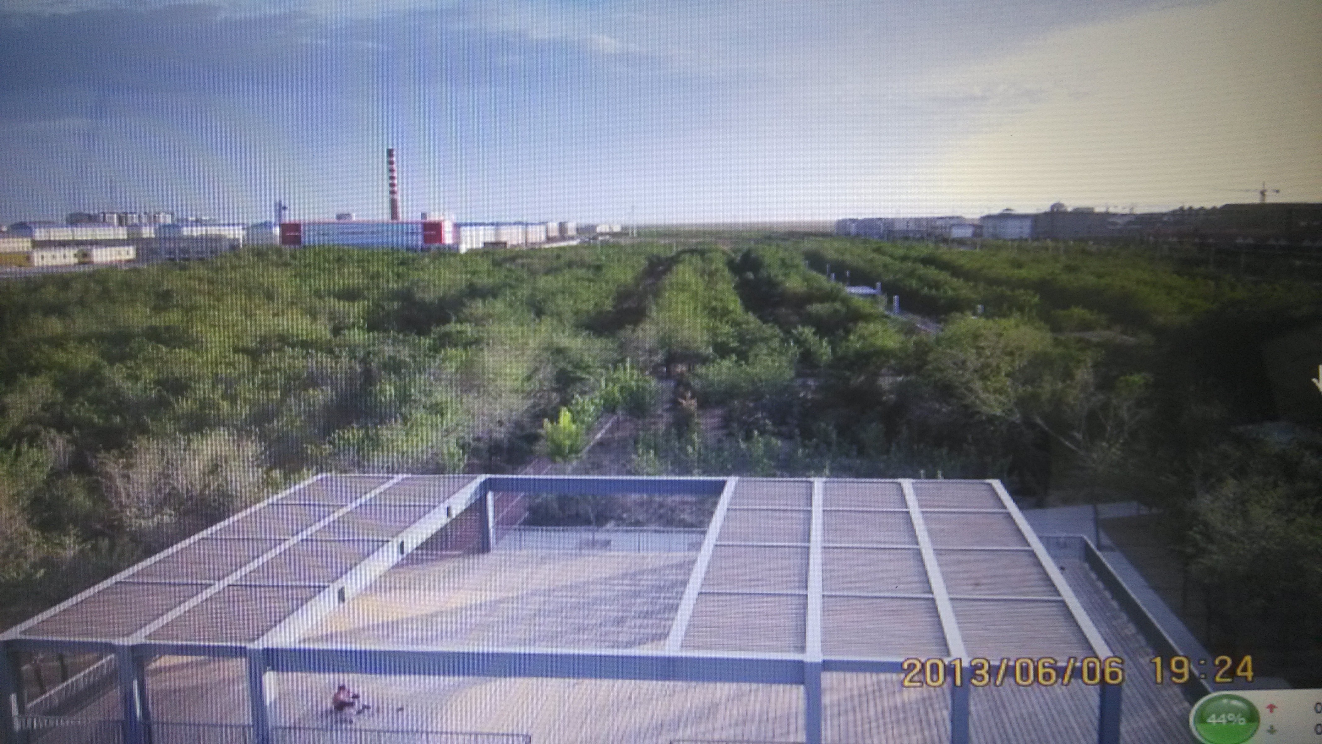
Related Photos:


Herd of horses crossing a river, Nei Mongol, China. Shot at early morning during a #phototour. Join me to #beautifulplaces like this next year. #LOVES_CHINA #WatchThisInstagood #makemoments
FLUG (52)

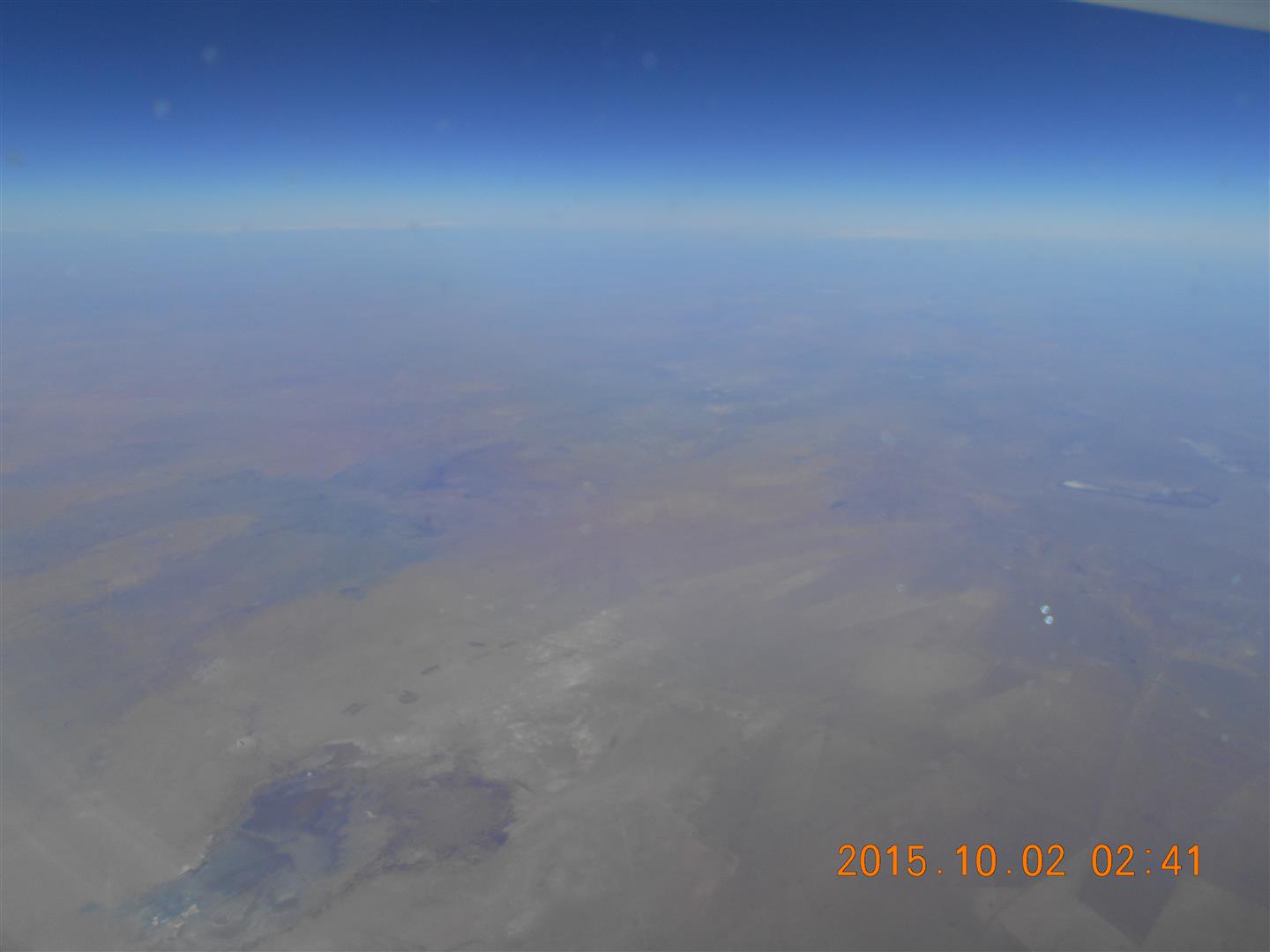
Chinese Border crossing
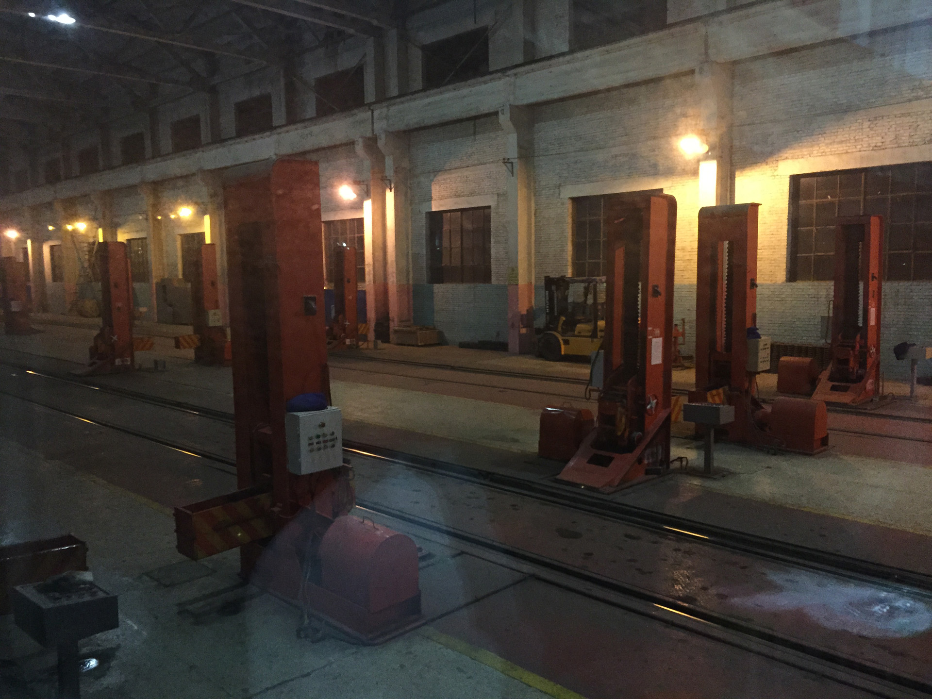
Changing of the Wheel Bogies
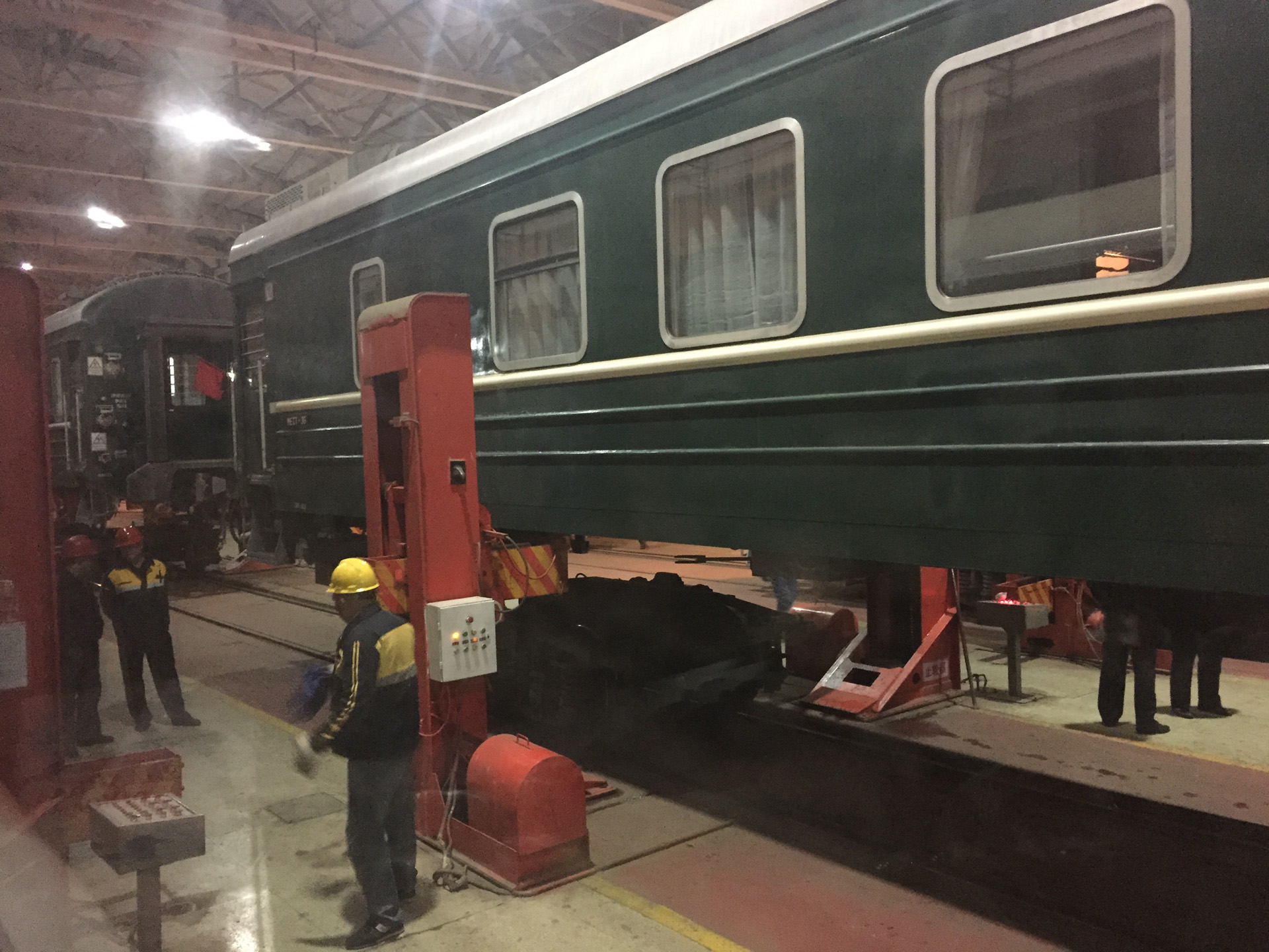
Changing of the Wheel Bogies


P7093210.jpg
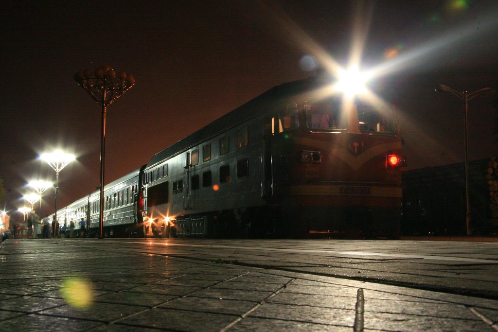
2007-07-15_0035-51 DF4B-2632 at Erlian
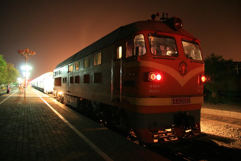
2007-07-15_0027-57 DF4B-2632 at Erlian
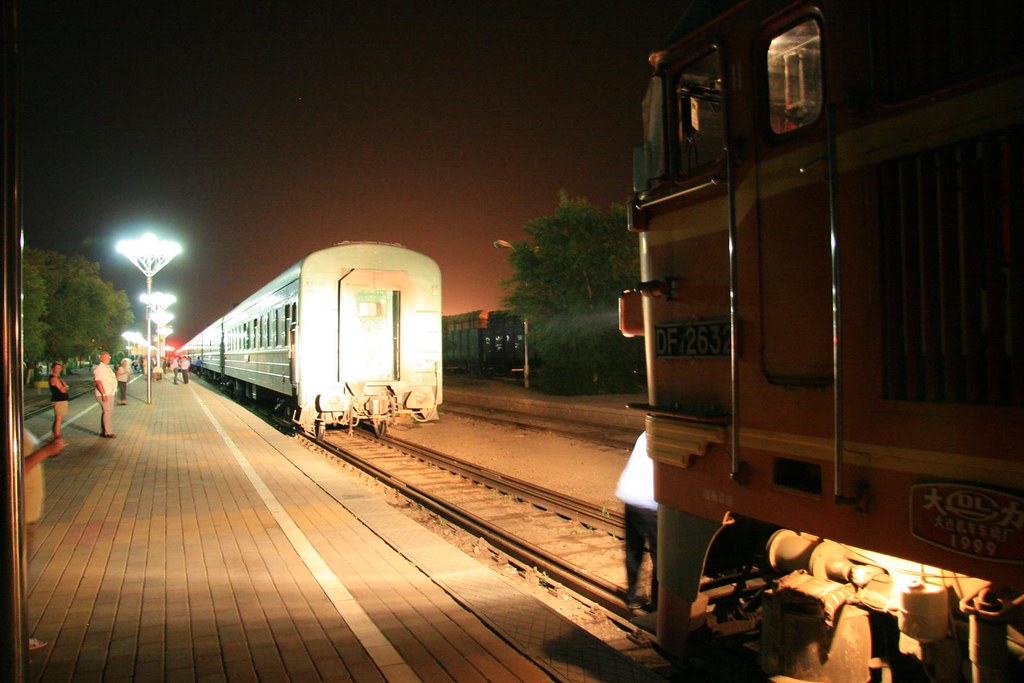
2007-07-15_0027-28 DF4B-2632 at Erlian

2007-07-15_0012-09 Erlian
Topographic Map of Erenhot, Xilin Gol, Inner Mongolia, China
Find elevation by address:

Places near Erenhot, Xilin Gol, Inner Mongolia, China:
Recent Searches:
- Elevation of Kootenai Trail Rd, Bonners Ferry, ID, USA
- Elevation of Hickory Blvd, Bonita Springs, FL, USA
- Elevation of Lalagbene, Bayelsa, Nigeria
- Elevation of Ogbosuware Health Centre, 2WWJ+4PJ, Lalagbene, Bayelsa, Nigeria
- Elevation of Duckhorn Ct, Las Vegas, NV, USA
- Elevation of Garretts Run Rd, Ford City, PA, USA
- Elevation of N WI-55, Freedom, WI, USA
- Elevation map of Hadiya, Ethiopia
- Elevation of Hosaina, Ethiopia
- Elevation of Verde Terrace, North Port, FL, USA