Elevation of Equestrian Drive, Equestrian Dr, Johns River, NC, USA
Location: United States > North Carolina > Caldwell County > Lenoir > Gamewell >
Longitude: -81.658732
Latitude: 35.9007579
Elevation: 381m / 1250feet
Barometric Pressure: 97KPa
Elevation Map:
Satellite Map:
Related Photos:

The Rock 272/365

Moonset Over the Blue Ridge Mountains 48/52

[Full View] Old Hat, Downtown Lenoir, Jonathan Cox Photoshoot

Brown Mountain OHV Trail

Hibriten Mountain
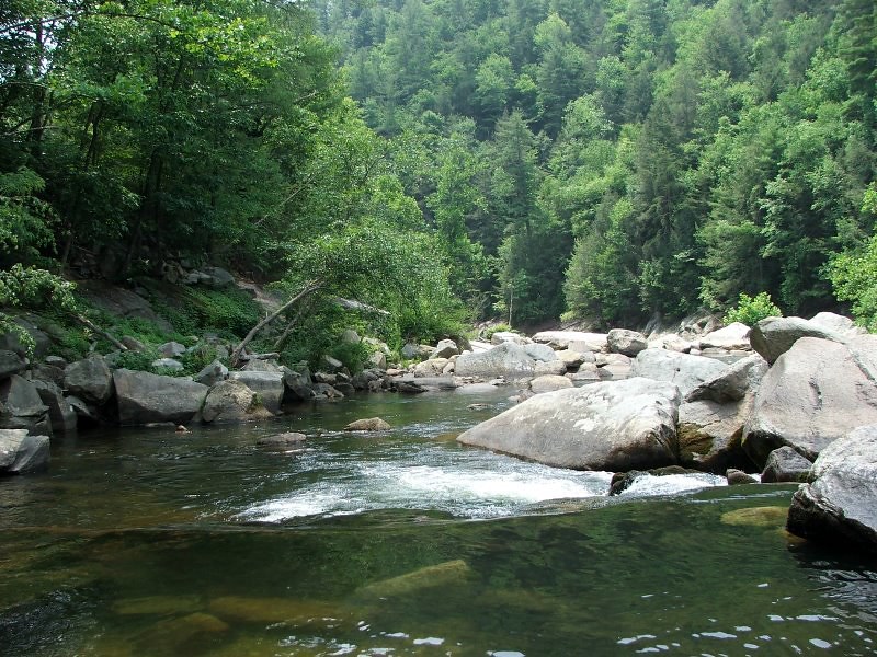
Wilson's Creek near Lenoir, NC

Hibriten Mountain

Smokey Creek Hunting Club

Mt. Mitchell

Front View, Caldwell County Courthouse

Smokey Creek Hunting Club

Cabin view

The view of the Blue Ridge Mountains just outside Blowing Rock NC.

IMG_0953A view up the creek
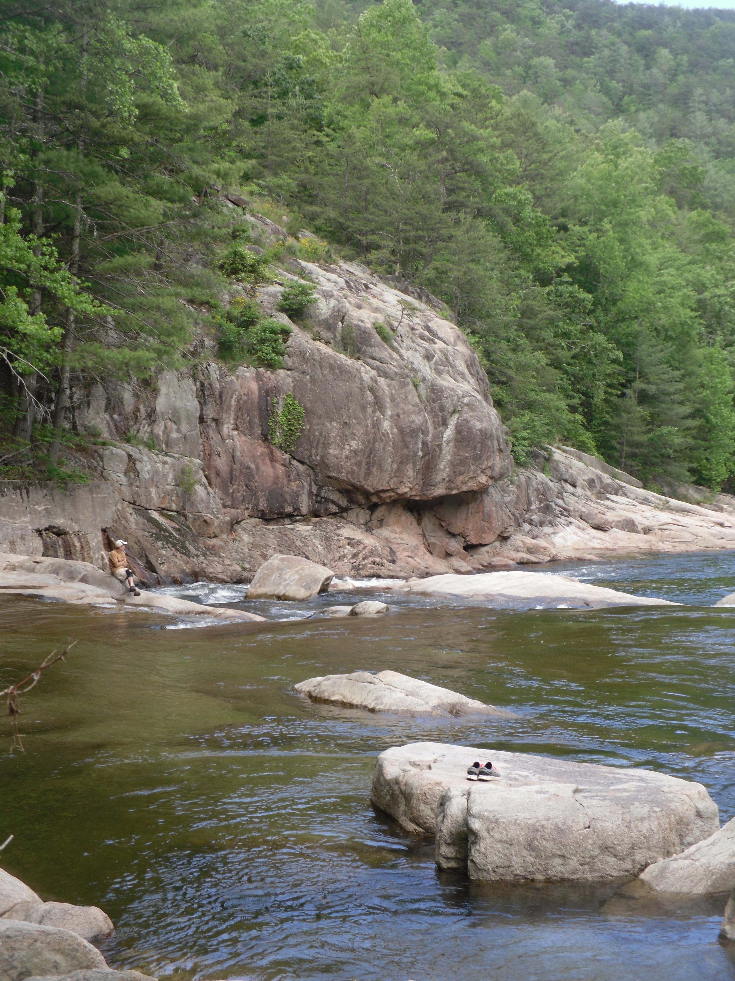
Wilson Creek View

Smokey Creek Hunting Club

View down Wilson Creek

Aisle view of the cross

View up Wilson Creek

Gazabo view

The View

Enchanted Valley

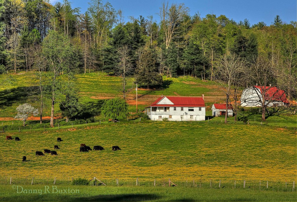
Fall Farm Morning

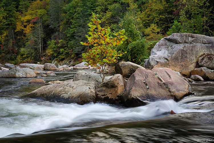
Gentle Flows

Rainy Day Wilson Creek

Waterfall on Thorps Creek
Irish Creek Farm 15/52

Irish Creek 273/365

Wilson Creek

Wilson Creek, Pisgah National Forest, North Carolina

Brown Mountain Beach Road, Pisgah National Forest, North Carolina

Wilson Creek Wild and Scenic River, North Carolina
Fully immersed in the #wilsoncreek wild & scenic river near Morganton, #northcarolina My favorite place to go #whitewaterkayaking #autumn #foliage #fall

Smyrna Baptist Church, Brown Mountain Beach Road, North Carolina

Hibriten Mountain

Harper Creek Falls

Harper Creek Falls

Harper's Creek Falls, NC

Fall color along Steels Creek
Topographic Map of Equestrian Drive, Equestrian Dr, Johns River, NC, USA
Find elevation by address:

Places near Equestrian Drive, Equestrian Dr, Johns River, NC, USA:
Red Cedar Way
1500 Red Cedar Way
1705 High Country Rd
Walnut Ridge Drive
Walnut Ridge Drive
Low Country Road
1397 Johns Ridge Pkwy
1314 Round Mountain Pkwy
5499 Cedar Cove Way
5499 Cedar Cove Way
5499 Cedar Cove Way
5499 Cedar Cove Way
5499 Cedar Cove Way
5499 Cedar Cove Way
5499 Cedar Cove Way
4008 Rocky Rd
5229 Sunset Creek Ln
3980 Rocky Rd
2002 Johns Ridge Pkwy
1292 Whispering Pines Ct
Recent Searches:
- Elevation of Lampiasi St, Sarasota, FL, USA
- Elevation of Elwyn Dr, Roanoke Rapids, NC, USA
- Elevation of Congressional Dr, Stevensville, MD, USA
- Elevation of Bellview Rd, McLean, VA, USA
- Elevation of Stage Island Rd, Chatham, MA, USA
- Elevation of Shibuya Scramble Crossing, 21 Udagawacho, Shibuya City, Tokyo -, Japan
- Elevation of Jadagoniai, Kaunas District Municipality, Lithuania
- Elevation of Pagonija rock, Kranto 7-oji g. 8"N, Kaunas, Lithuania
- Elevation of Co Rd 87, Jamestown, CO, USA
- Elevation of Tenjo, Cundinamarca, Colombia