Elevation of Epps Fork Rd, Clarksville, VA, USA
Location: United States > Virginia > Mecklenburg County > > Clarksville >
Longitude: -78.353202
Latitude: 36.5539545
Elevation: 107m / 351feet
Barometric Pressure: 100KPa
Elevation Map:
Satellite Map:
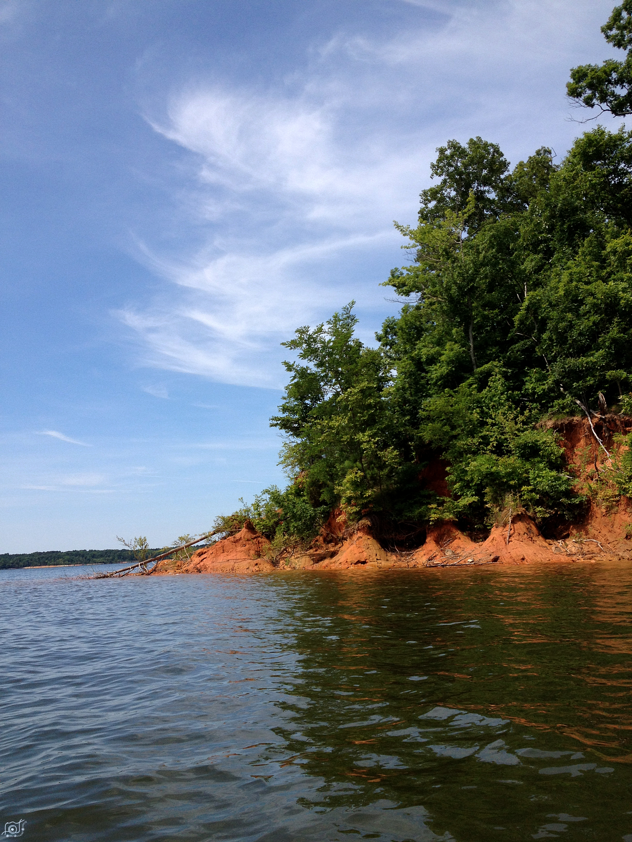
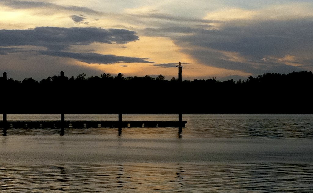
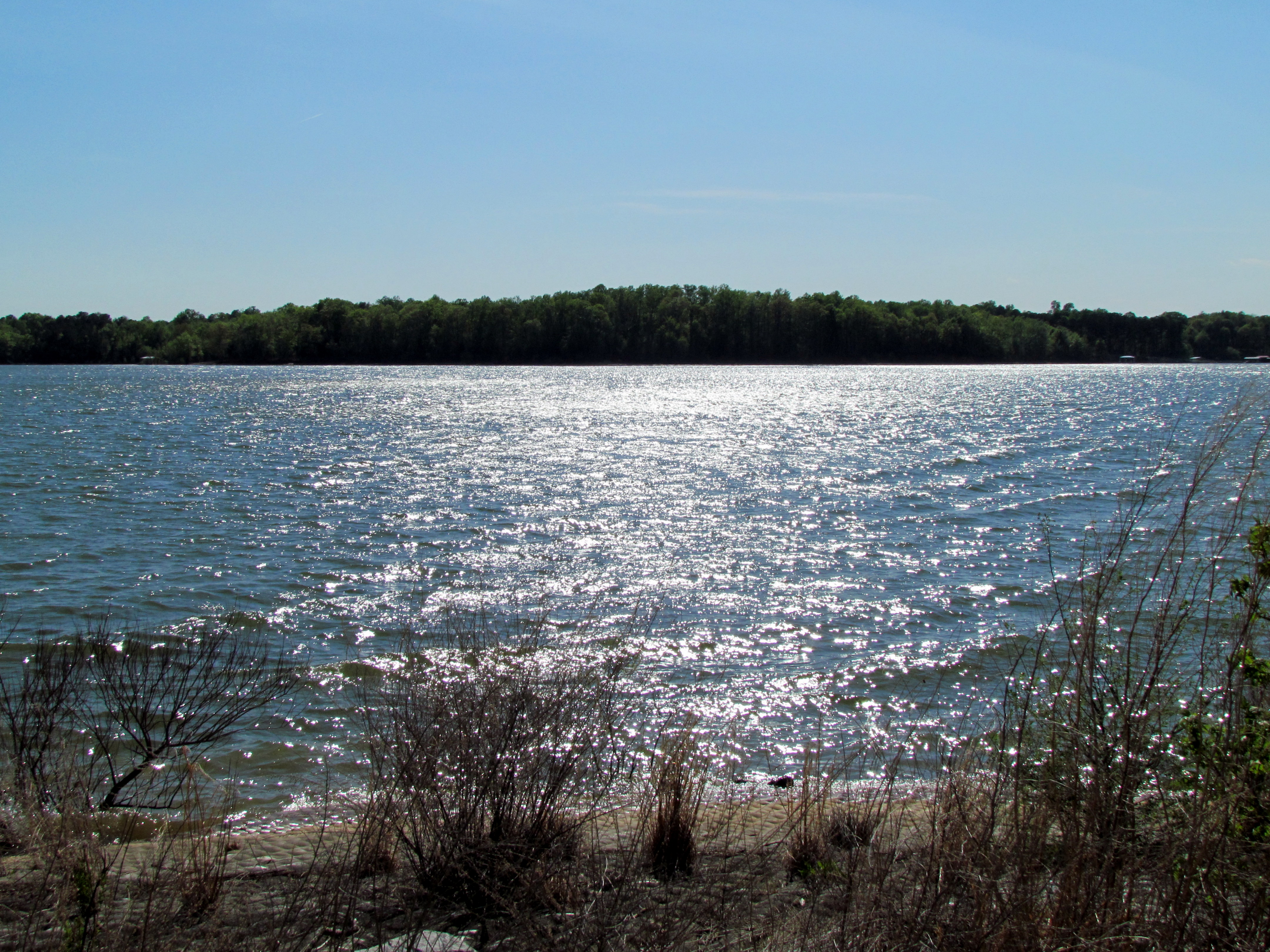
Related Photos:
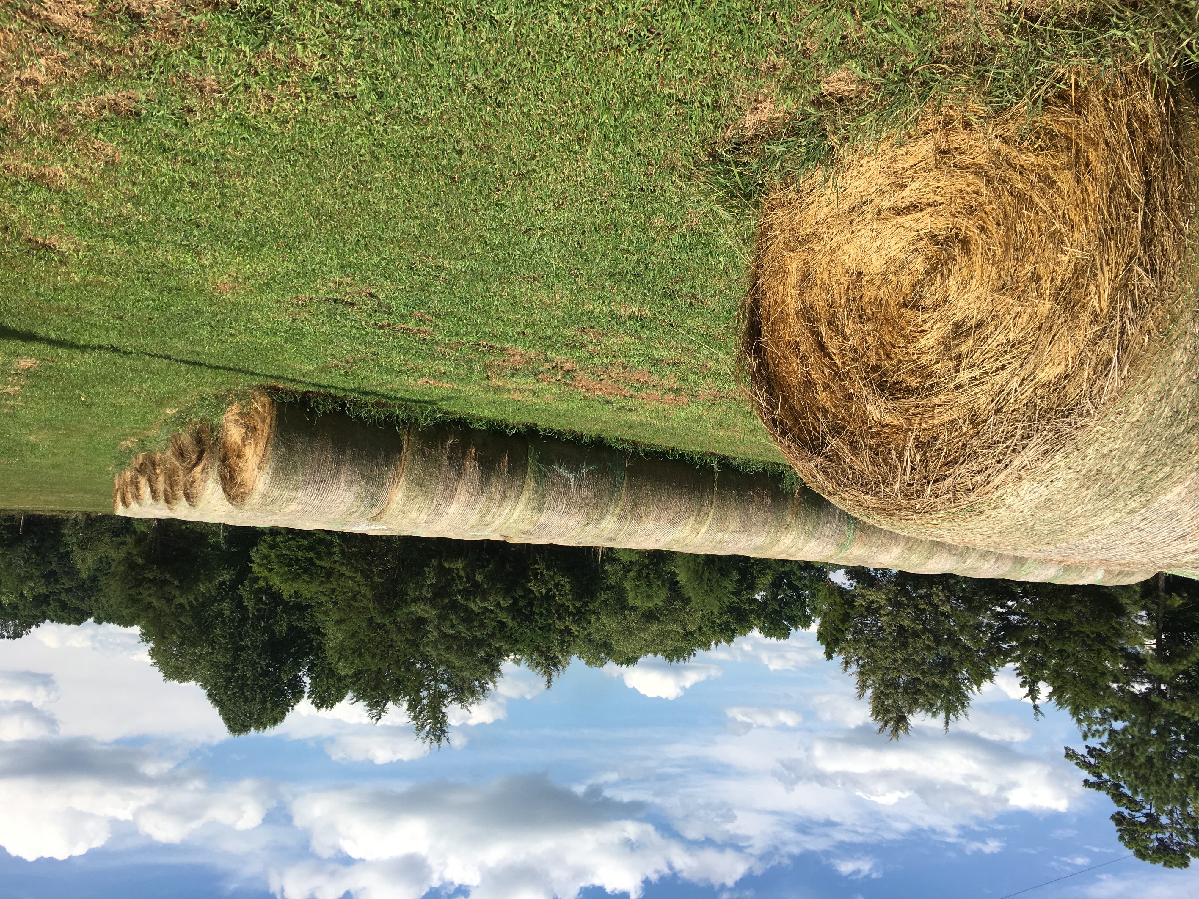
Rollin' Rollin' Rollin'..
Going Down
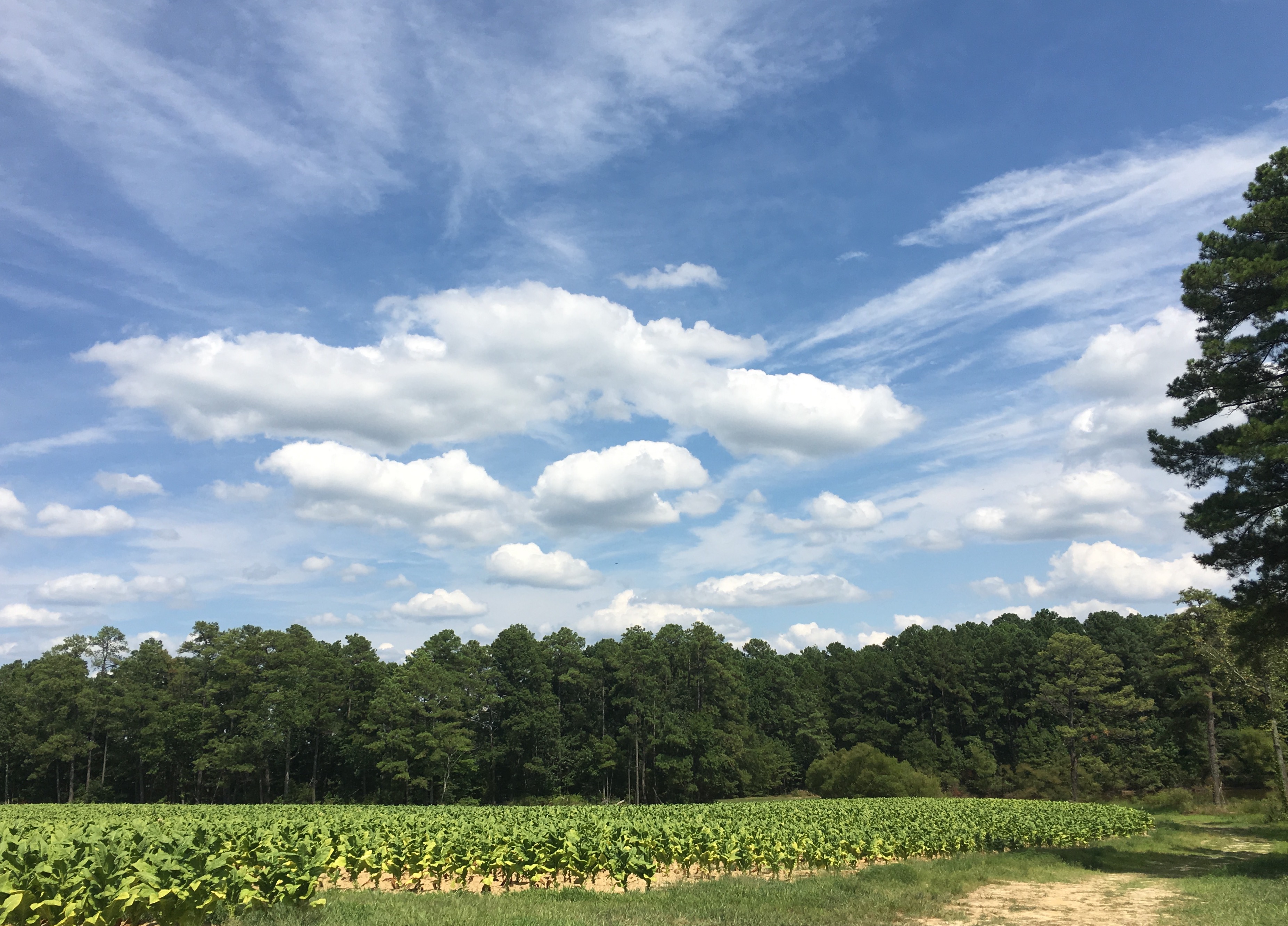
Field, Trees, Clouds
IMG_0186.JPG

Getting Air on Tubes at the Lake
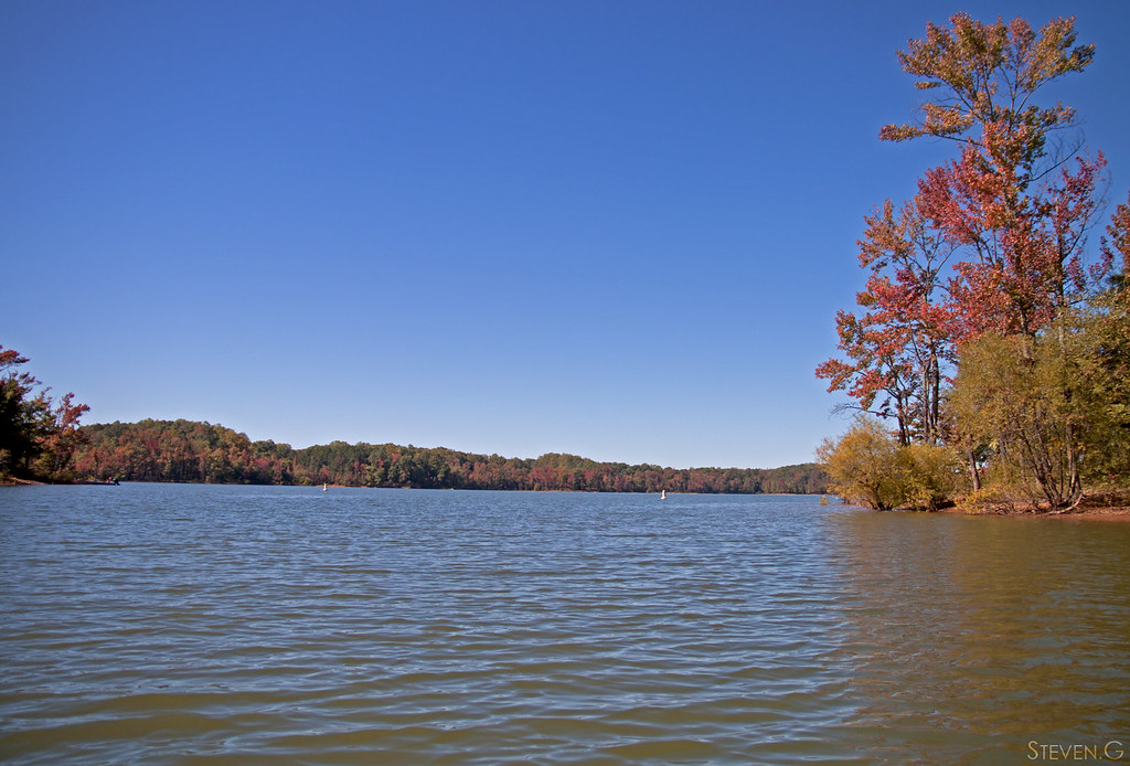
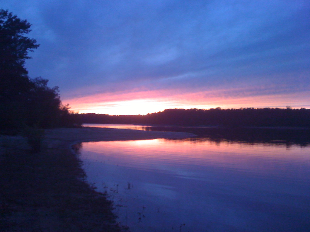
Blue Sky Red Tree
IMG_0185.JPG
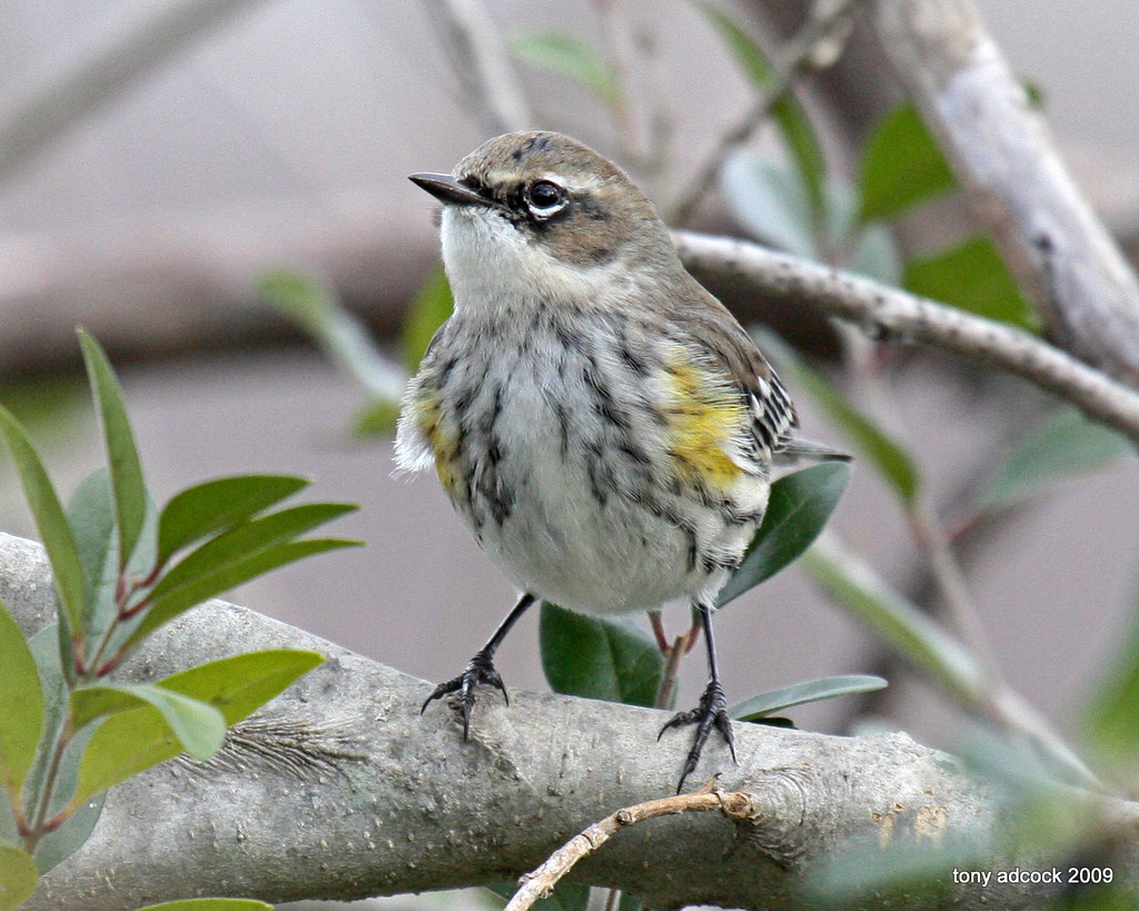
Yellow-rumped Warbler (Dendroica coronata)
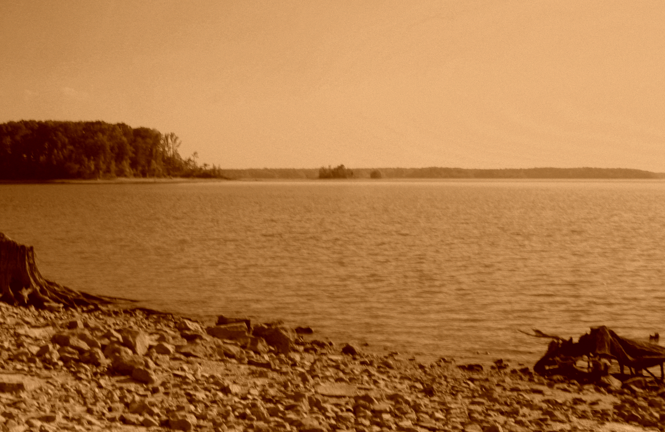
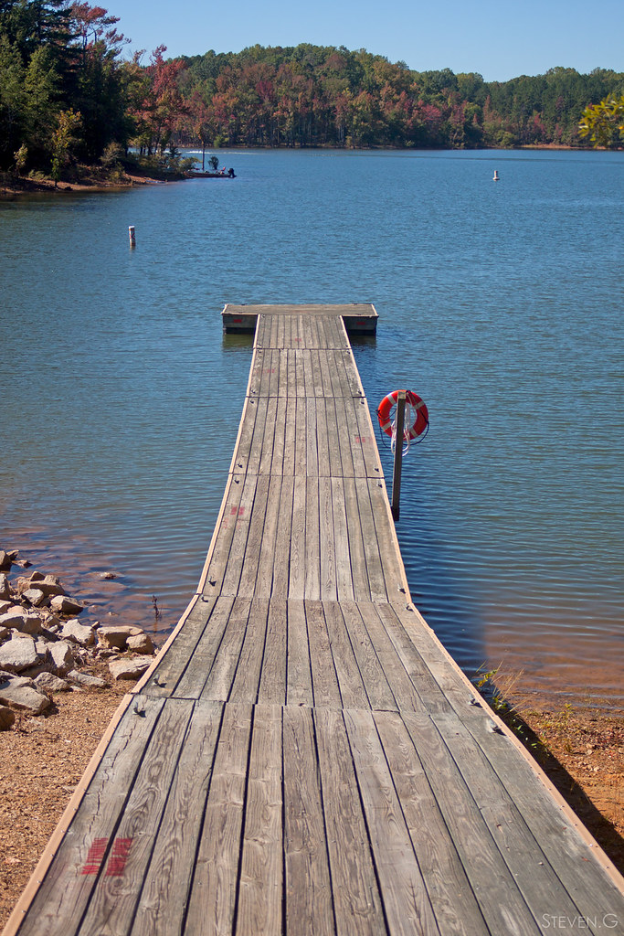
Rock Shore and the Distance

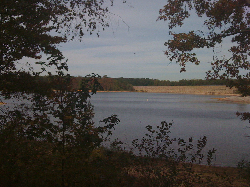
Kerr Dam (2.9.15)
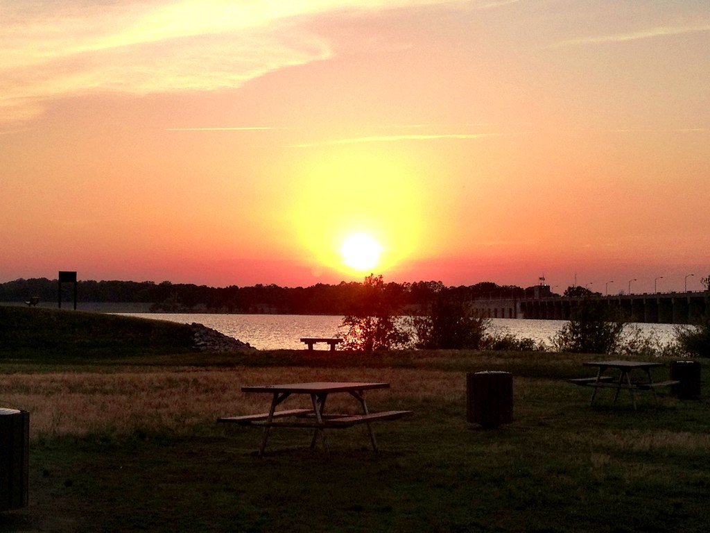
photo.JPG
DOVOLENA 2014 2170

DOVOLENA 2014 2182

Song Sparrow

17 Kerr Lake SP NC 9240
Kerr Lake, North Carolina

Water Crawl

those things that cling to your pants
13 Kerr Lake SP NC 9235

My Photo Stream-871
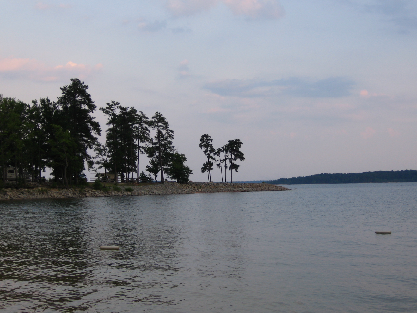
Another picture of the Point.
Topographic Map of Epps Fork Rd, Clarksville, VA, USA
Find elevation by address:

Places near Epps Fork Rd, Clarksville, VA, USA:
Epps Fork Road
4 Keats Point Rd, Manson, NC, USA
447 Bonanza Trail
447 Ponderosa Ln
447 Ponderosa Ln
Richardson
12 Frank Bullock Rd, Manson, NC, USA
27 Bullocksville Park Rd, Manson, NC, USA
Pool Rock Shores Lane
Pool Rock Road
1210 Cedar Cove Rd
Middleburg
Nutbush
Williamsboro
Manson
82 Fairview Dr
Williamsboro
Brookston Rd, Henderson, NC, USA
Hicksboro Rd, Oxford, NC, USA
US-1, Norlina, NC, USA
Recent Searches:
- Elevation of 30 Oak Lawn Dr, Barkhamsted, CT, USA
- Elevation of Luther Road, Luther Rd, Auburn, CA, USA
- Elevation of Unnamed Road, Respublika Severnaya Osetiya — Alaniya, Russia
- Elevation of Verkhny Fiagdon, North Ossetia–Alania Republic, Russia
- Elevation of F. Viola Hiway, San Rafael, Bulacan, Philippines
- Elevation of Herbage Dr, Gulfport, MS, USA
- Elevation of Lilac Cir, Haldimand, ON N3W 2G9, Canada
- Elevation of Harrod Branch Road, Harrod Branch Rd, Kentucky, USA
- Elevation of Wyndham Grand Barbados Sam Lords Castle All Inclusive Resort, End of Belair Road, Long Bay, Bridgetown Barbados
- Elevation of Iga Trl, Maggie Valley, NC, USA