Elevation of Entzenbach, Niederbruck, France
Location: France > Alsace-champagne-ardenne-lorraine > Haut-rhin >
Longitude: 6.947843
Latitude: 47.779986
Elevation: 621m / 2037feet
Barometric Pressure: 94KPa
Elevation Map:
Satellite Map:
Related Photos:
2013-10-31 194
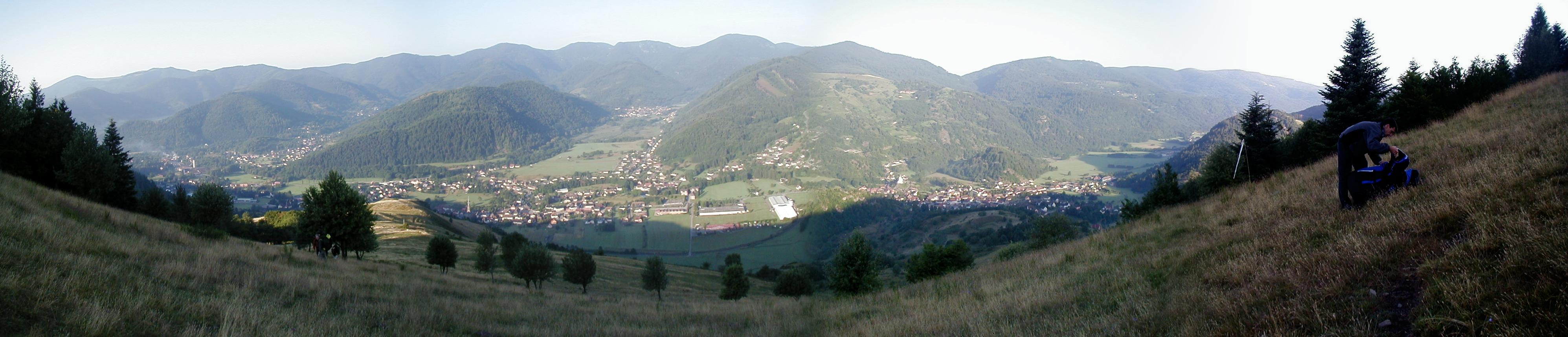
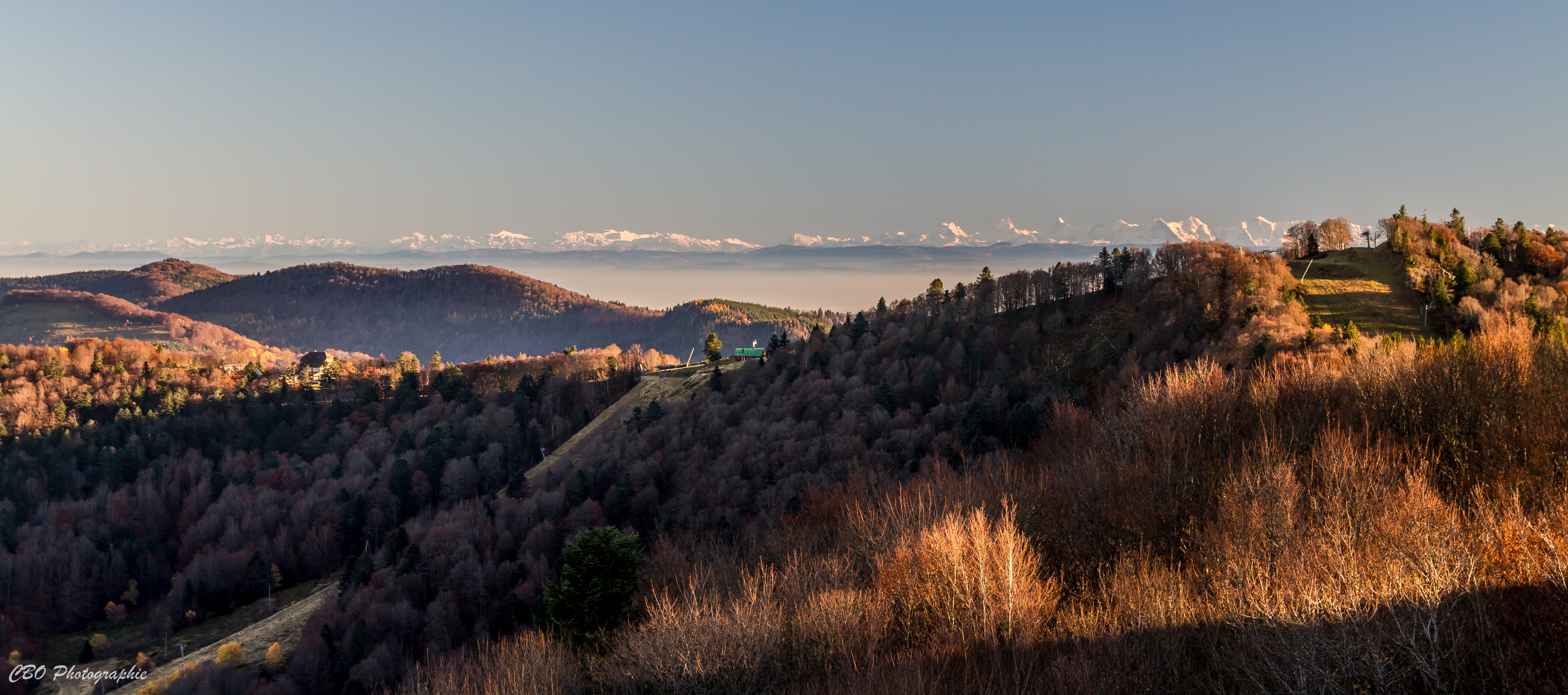
Panorama view from the Ballon d'Alsace

Free...
No Danger

Thann - Alsace - France
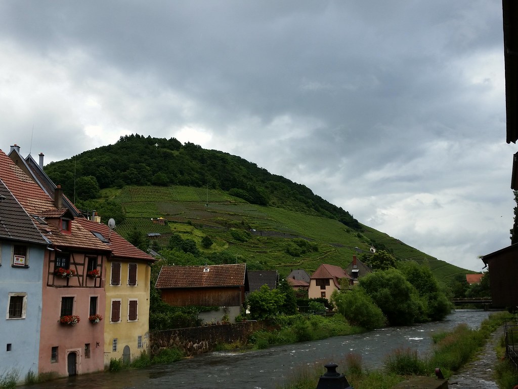
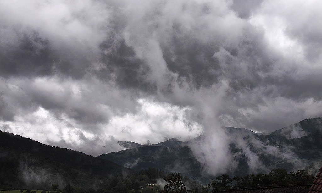
Révélation après la pluie
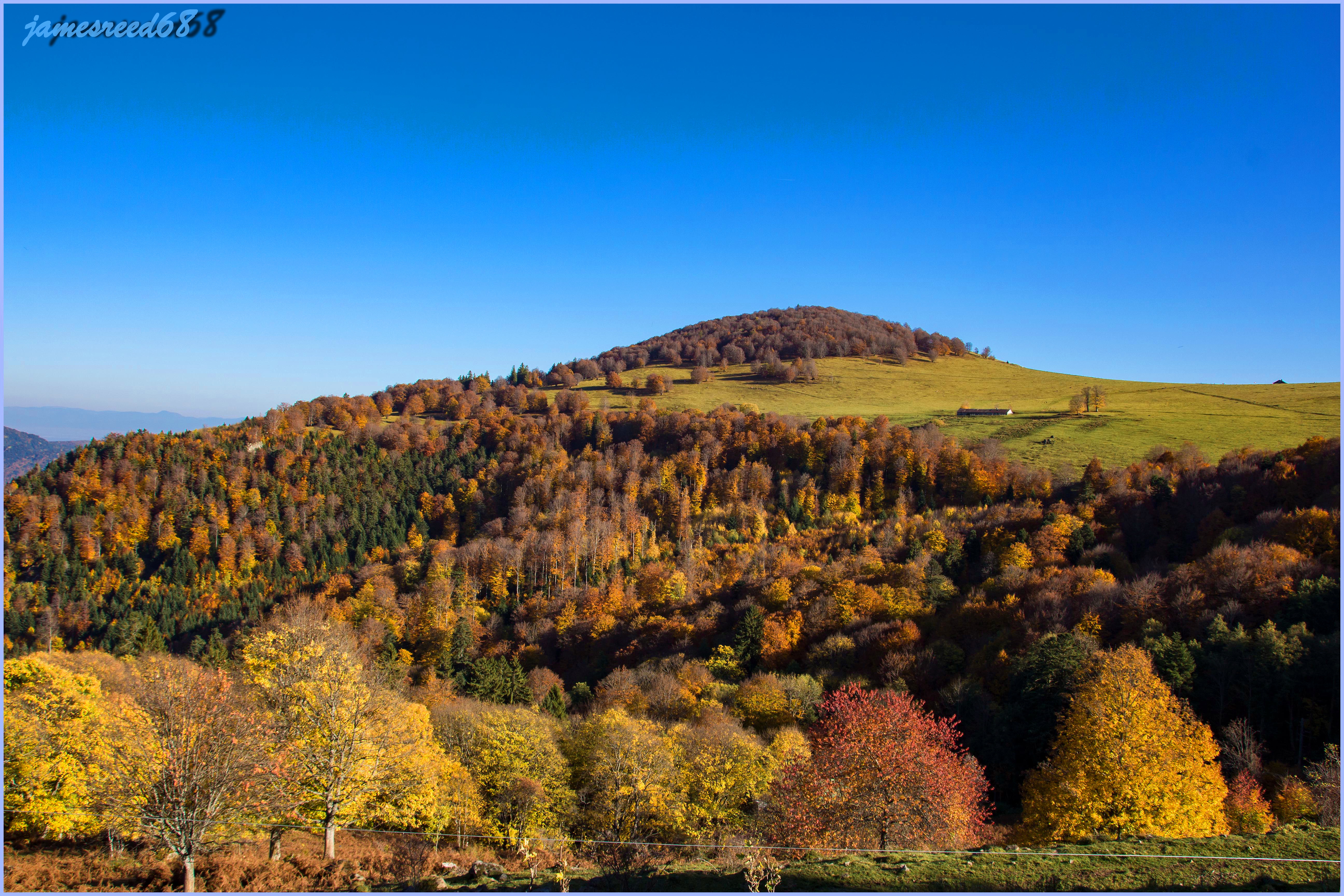
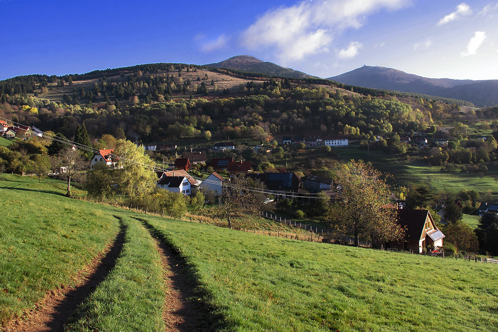
The green of the Vosges

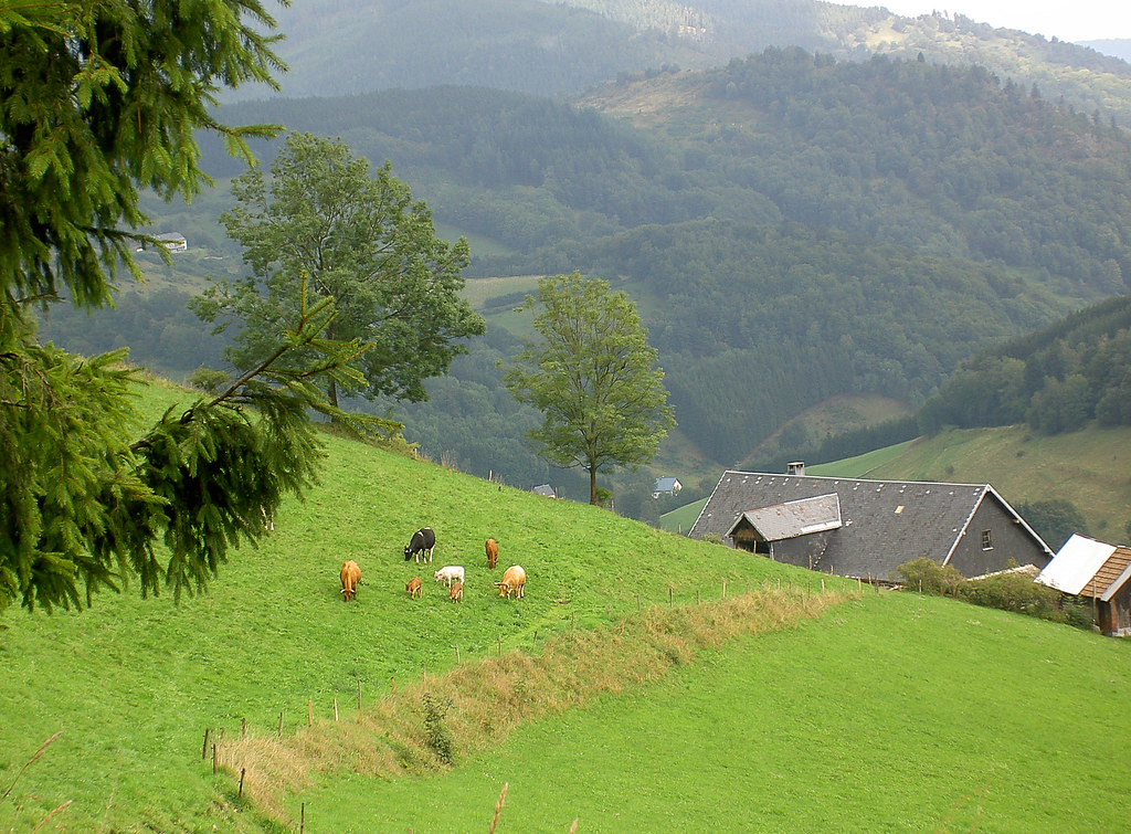
Thann - Alsace - France
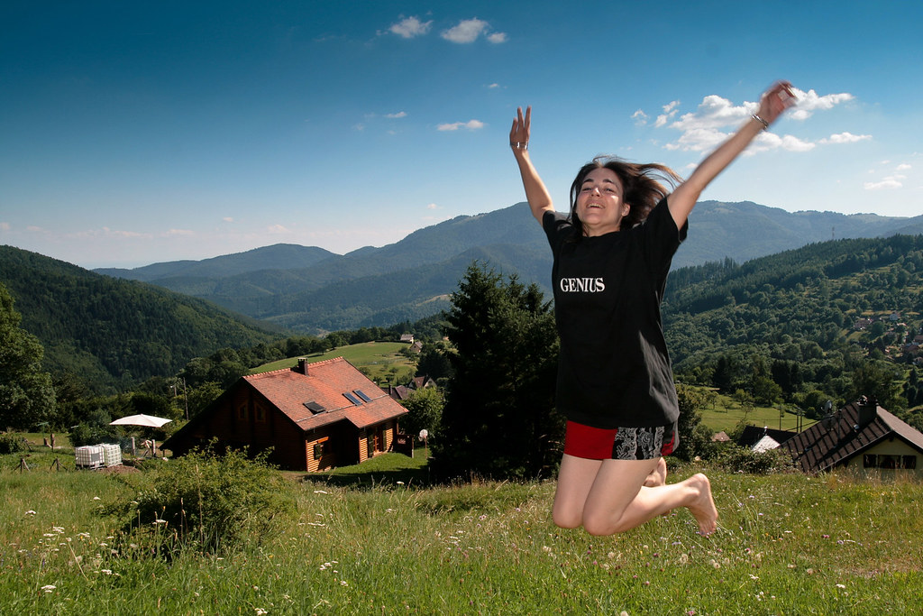
Genius - Drine @ Thur Valley

Thann (05)
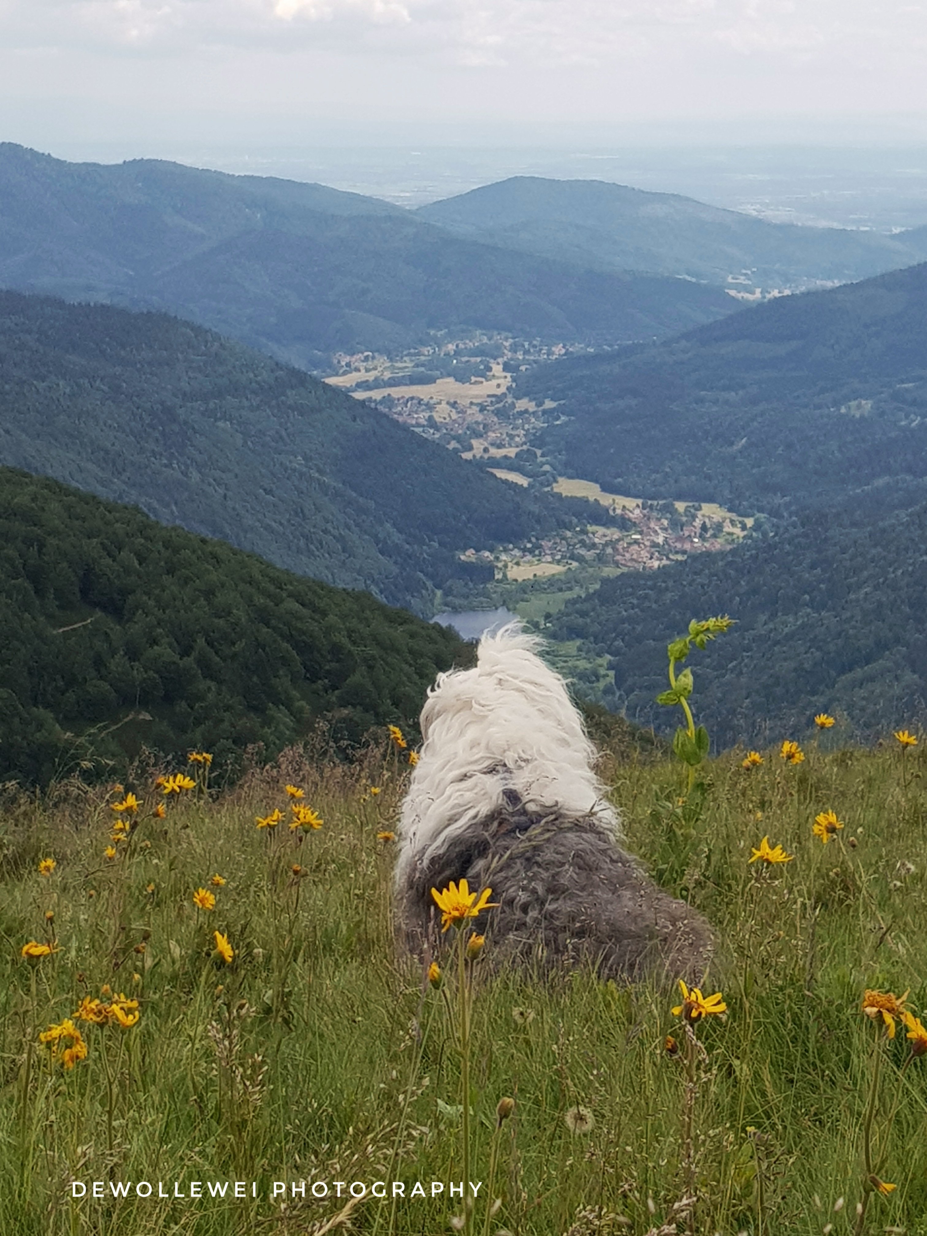
Sophie's view

Thann (03)

alpine view

Thann (02)
Siebach Startplatz
Ballon d'Alsace (68), France
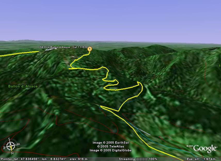
stage9-LeBallondAlsace

View Over the Valley

Panorama view on the Ballon d'Alsace
on the road
Another view on the kitchen
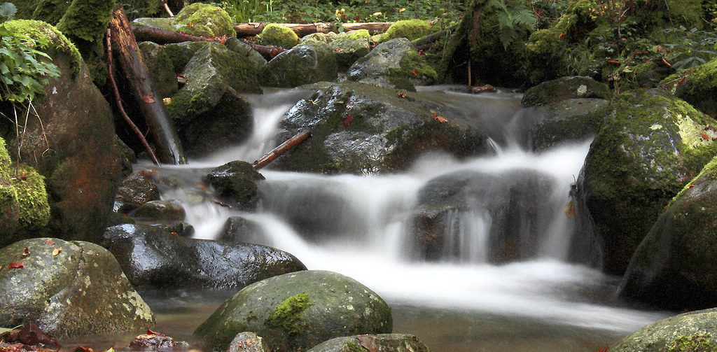
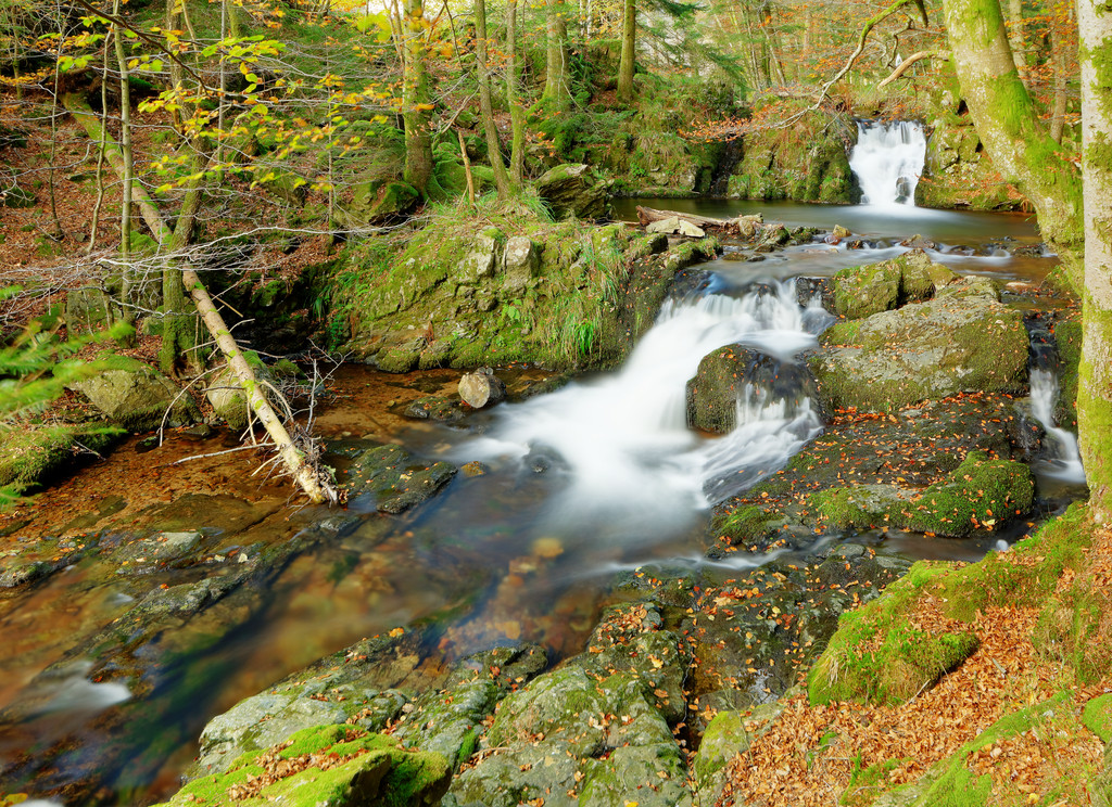
Le torrent
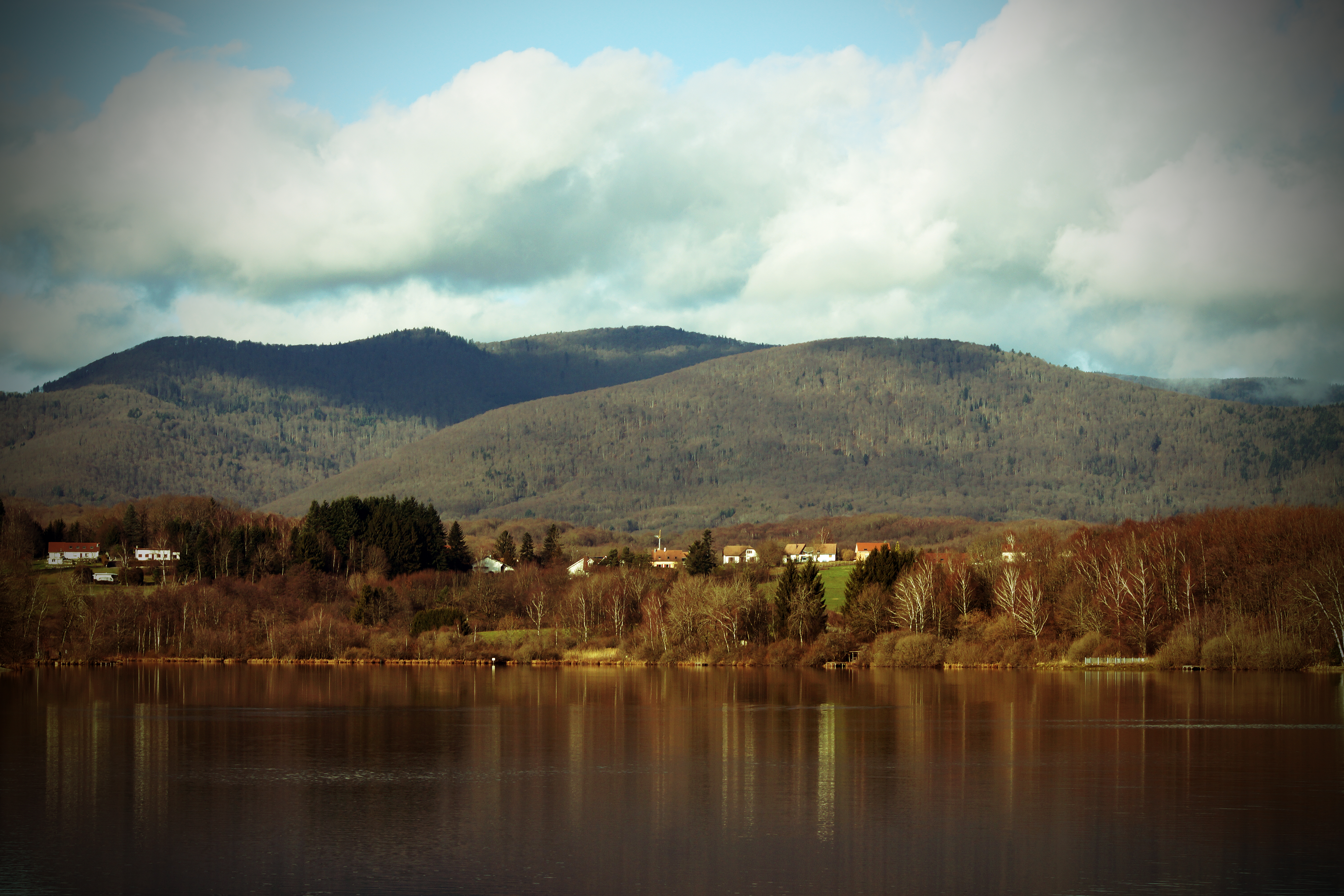
lac du malsaucy
L'oeil de la sorcière
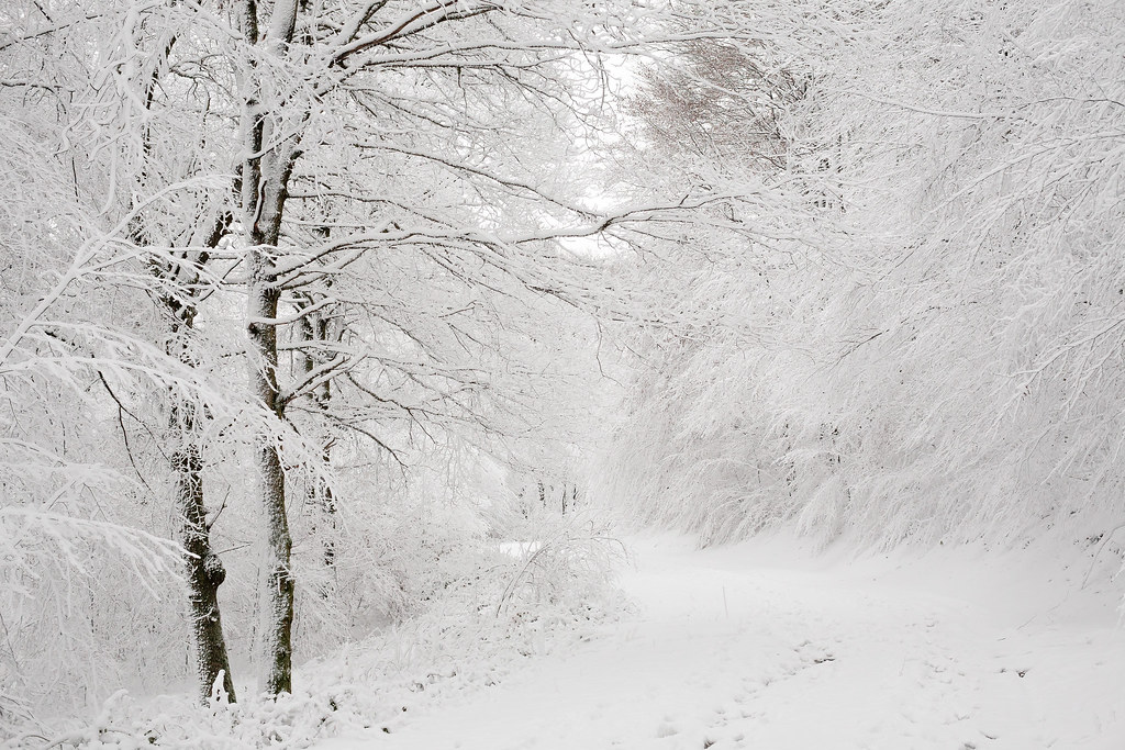
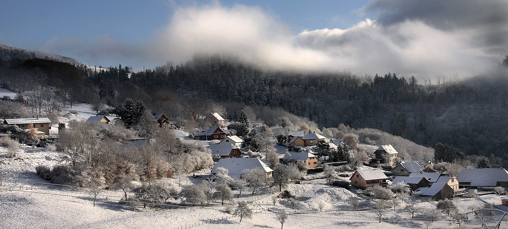
Snow path (2)
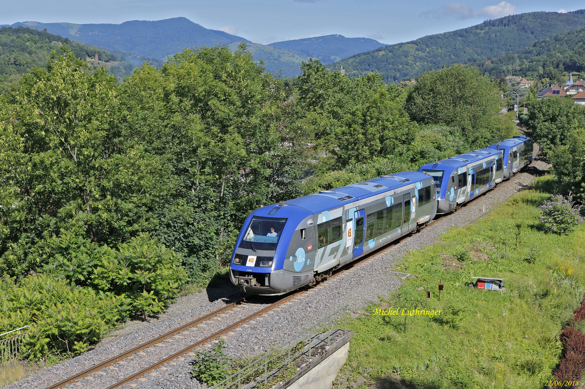
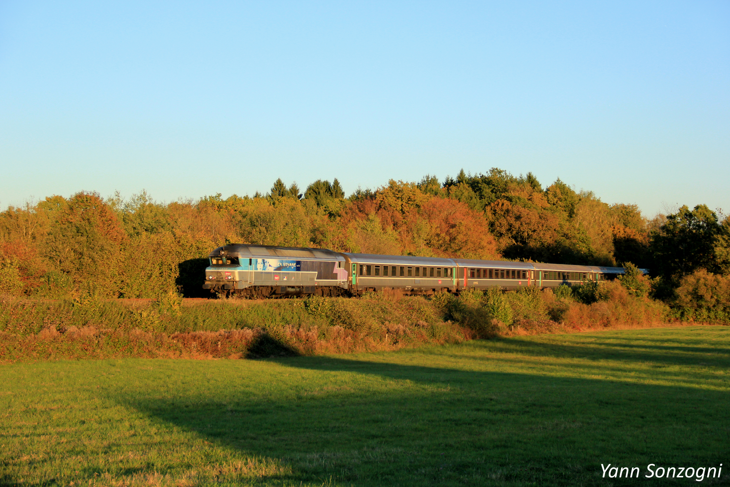
UM3 X 73564-X 73579-X 73521 TER 832769 Kruth-Mulhouse à Malmerspach

UM X73905-Alsace-X73661-Champagne Ardennes- TER 832770 Mulhouse-Kruth à Oderen
Vignobles de Thann
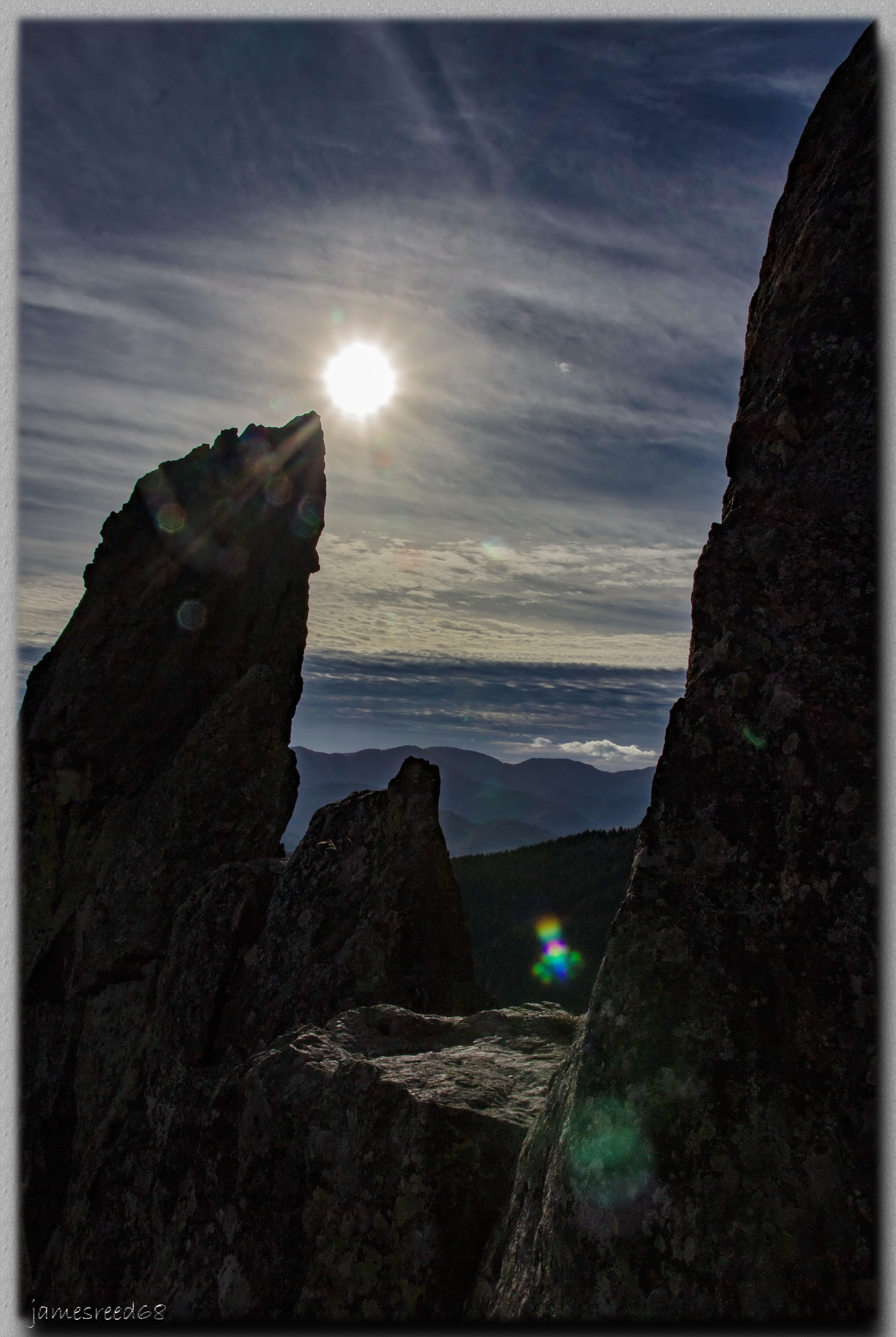
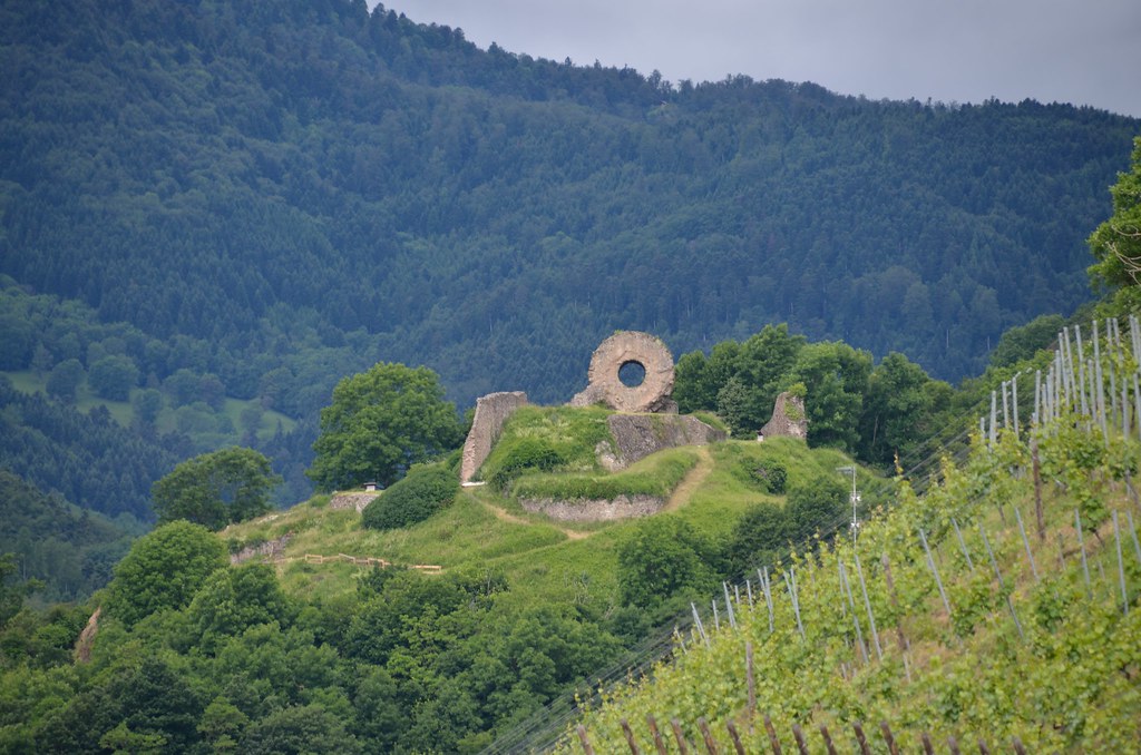
Roche de l'Abrutschfels - Geishouse
Ferme auberge du Gsang - Haut Rhin

Panorama depuis le ballon d'Alsace
Sur les hauts de Bussang
Savoureuse river at Lepuix
En bordure du Territoire de Belfort

La clairière
Matin de novembre

Matin d'été

IMG_1862.JPG
Niché à l'abri des sommets
Si , si c'est de la photo couleur

Fin de journée dans le Sundgau
Topographic Map of Entzenbach, Niederbruck, France
Find elevation by address:

Places near Entzenbach, Niederbruck, France:
9 Rue Principale, Sickert, France
Logis Hôtel Des Vosges
Sewen
5 Rue du Ballon, Sewen, France
Lauw
1 Rue du Château, Lauw, France
Bourg-sous-châtelet
6 Rue de la Forêt, Bourg-sous-Châtelet, France
3 Rue de la Libération, Grosmagny, France
Grosmagny
Vescemont
6 Rue de la Rosemontoise, Vescemont, France
Éloie
11 Grande Rue, Éloie, France
8f
Chèvremont
5 Rue des Grillons, Chèvremont, France
Cunelières
29 Rue des Orgues, Cunelières, France
Belfort
Recent Searches:
- Elevation of Lampiasi St, Sarasota, FL, USA
- Elevation of Elwyn Dr, Roanoke Rapids, NC, USA
- Elevation of Congressional Dr, Stevensville, MD, USA
- Elevation of Bellview Rd, McLean, VA, USA
- Elevation of Stage Island Rd, Chatham, MA, USA
- Elevation of Shibuya Scramble Crossing, 21 Udagawacho, Shibuya City, Tokyo -, Japan
- Elevation of Jadagoniai, Kaunas District Municipality, Lithuania
- Elevation of Pagonija rock, Kranto 7-oji g. 8"N, Kaunas, Lithuania
- Elevation of Co Rd 87, Jamestown, CO, USA
- Elevation of Tenjo, Cundinamarca, Colombia