Elevation of Enchanting Cir, Morganton, GA, USA
Location: United States > Georgia > Fannin County > Morganton >
Longitude: -84.160969
Latitude: 34.8637651
Elevation: 737m / 2418feet
Barometric Pressure: 93KPa
Elevation Map:
Satellite Map:
Related Photos:

Weekend Getaway Welcome
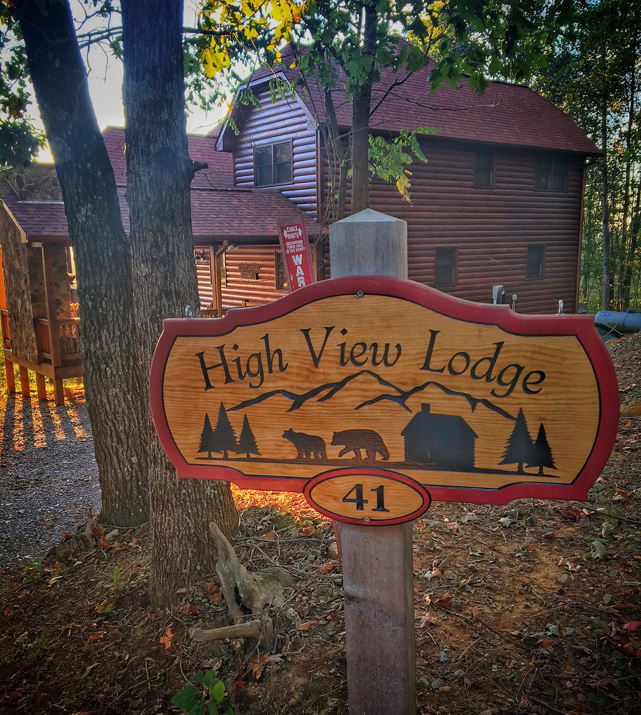
High View Lodge

My 63.5 Ford Falcon Sprint with the silos

Rear-view dirt road
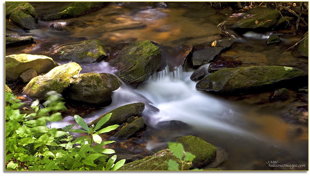
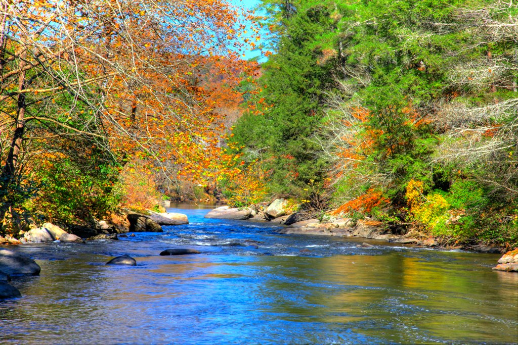
Cooper Creek , GA
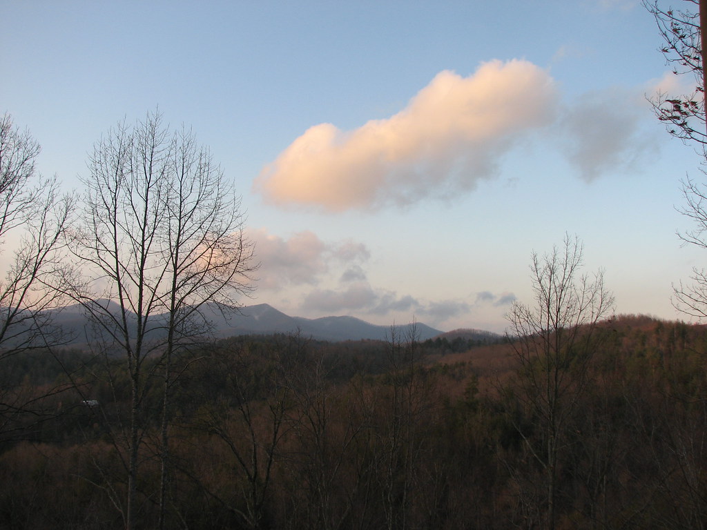
View at Dusk

View at Dusk
Beautiful View
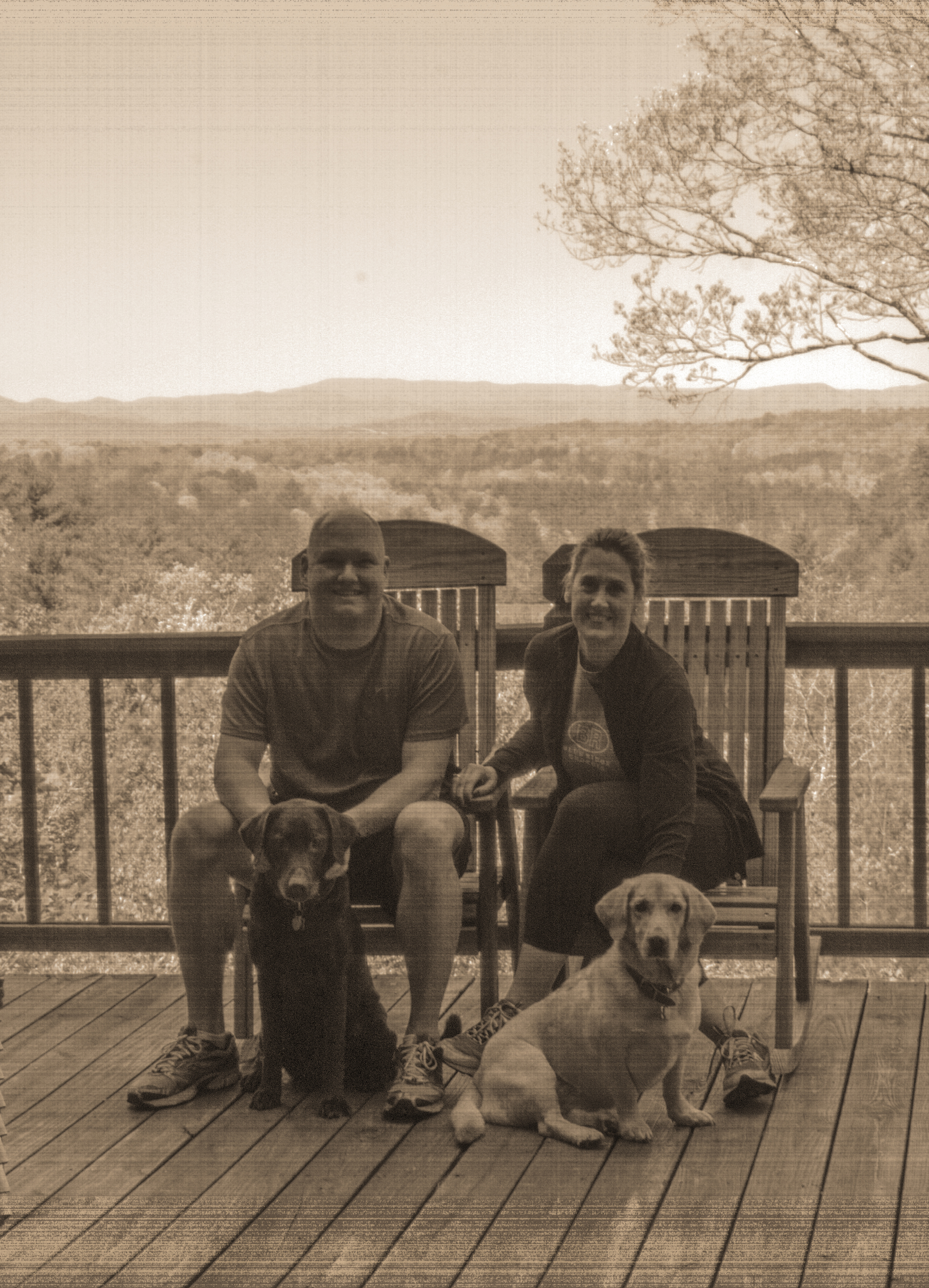
Old time family photo
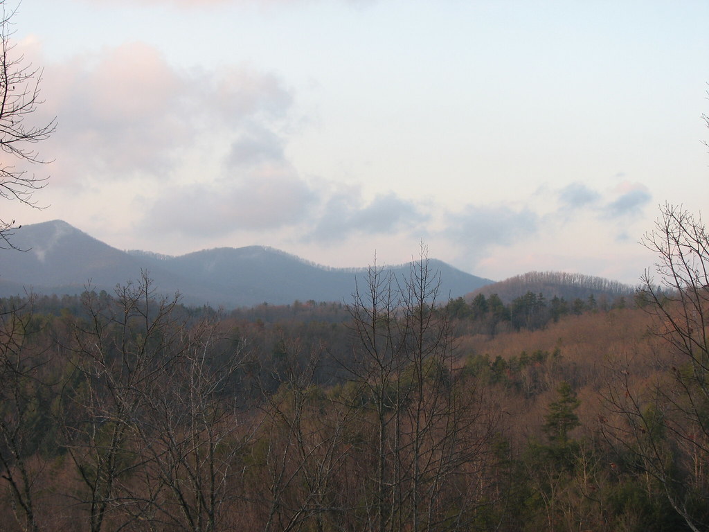
View at Dusk
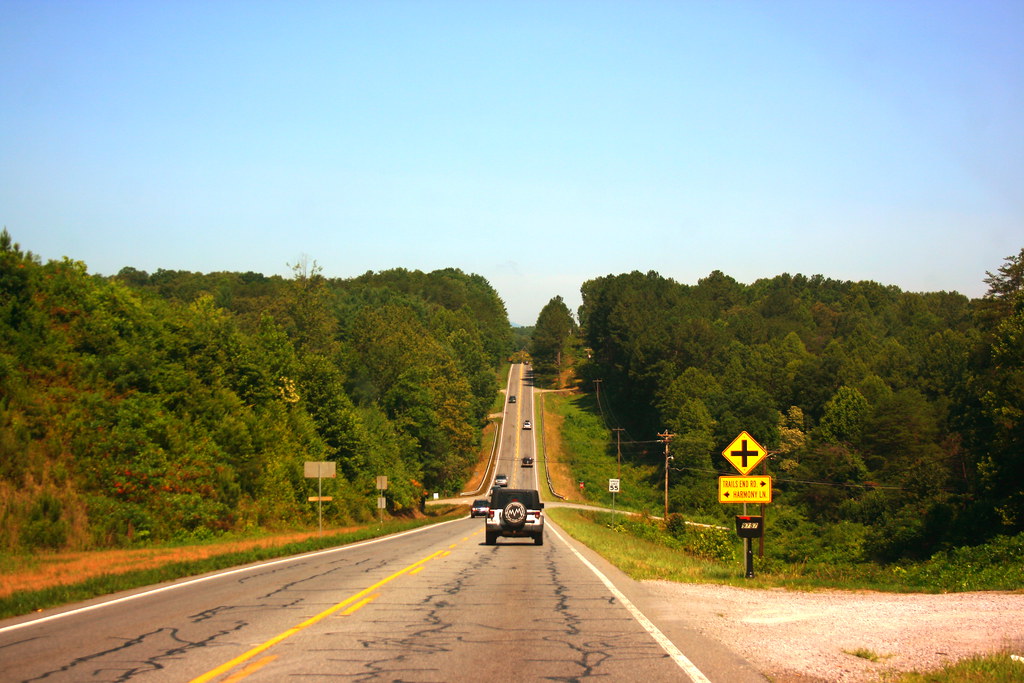
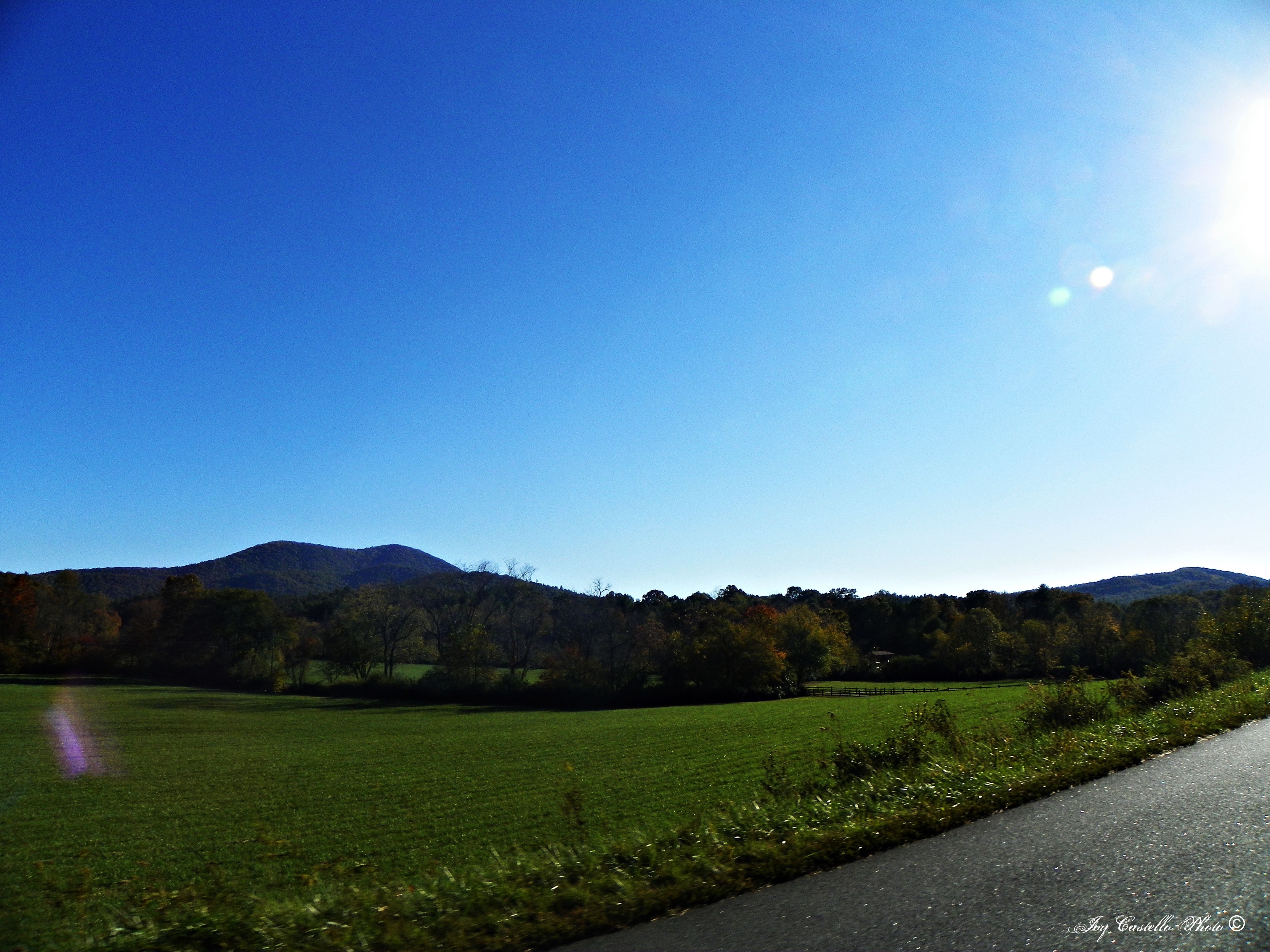
View from the Car

View from Our Balcony

View From South Brawley Ridge
View from the office tonight.

View from Our Balcony
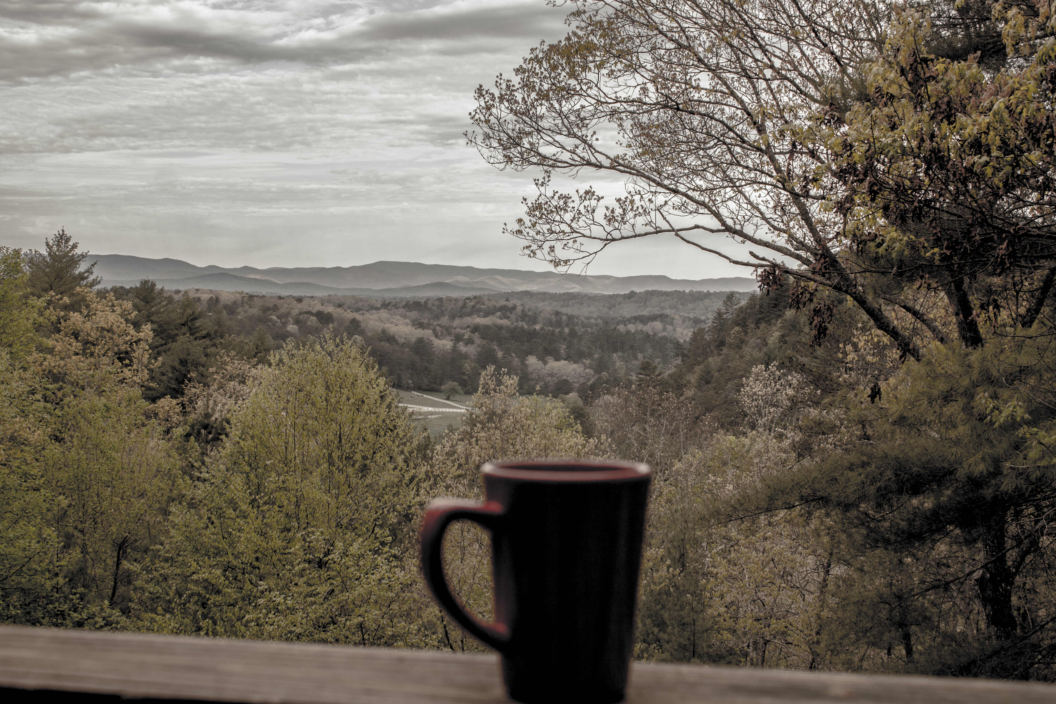
Cup of coffee
View From NW Side of Weeks Mtn
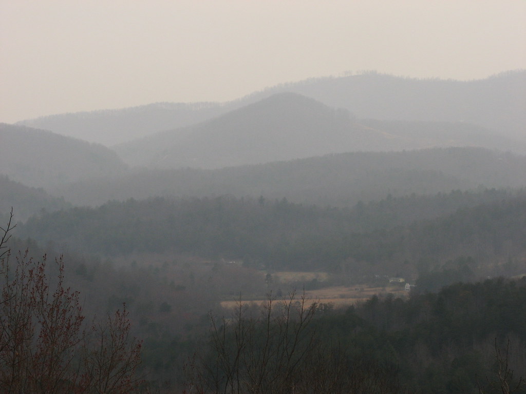
Morning Fog
View from the Car

View at Dusk

That's not a lake

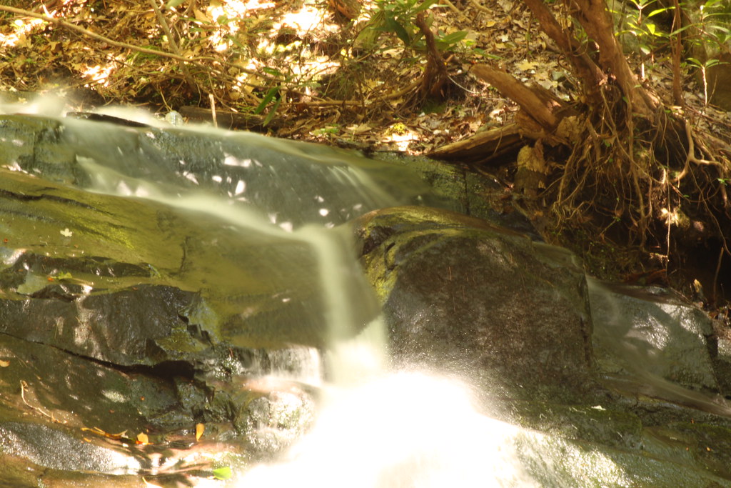
Sea Creek Falls-Toby Gant-2014

Somewhere over Nottely Lake
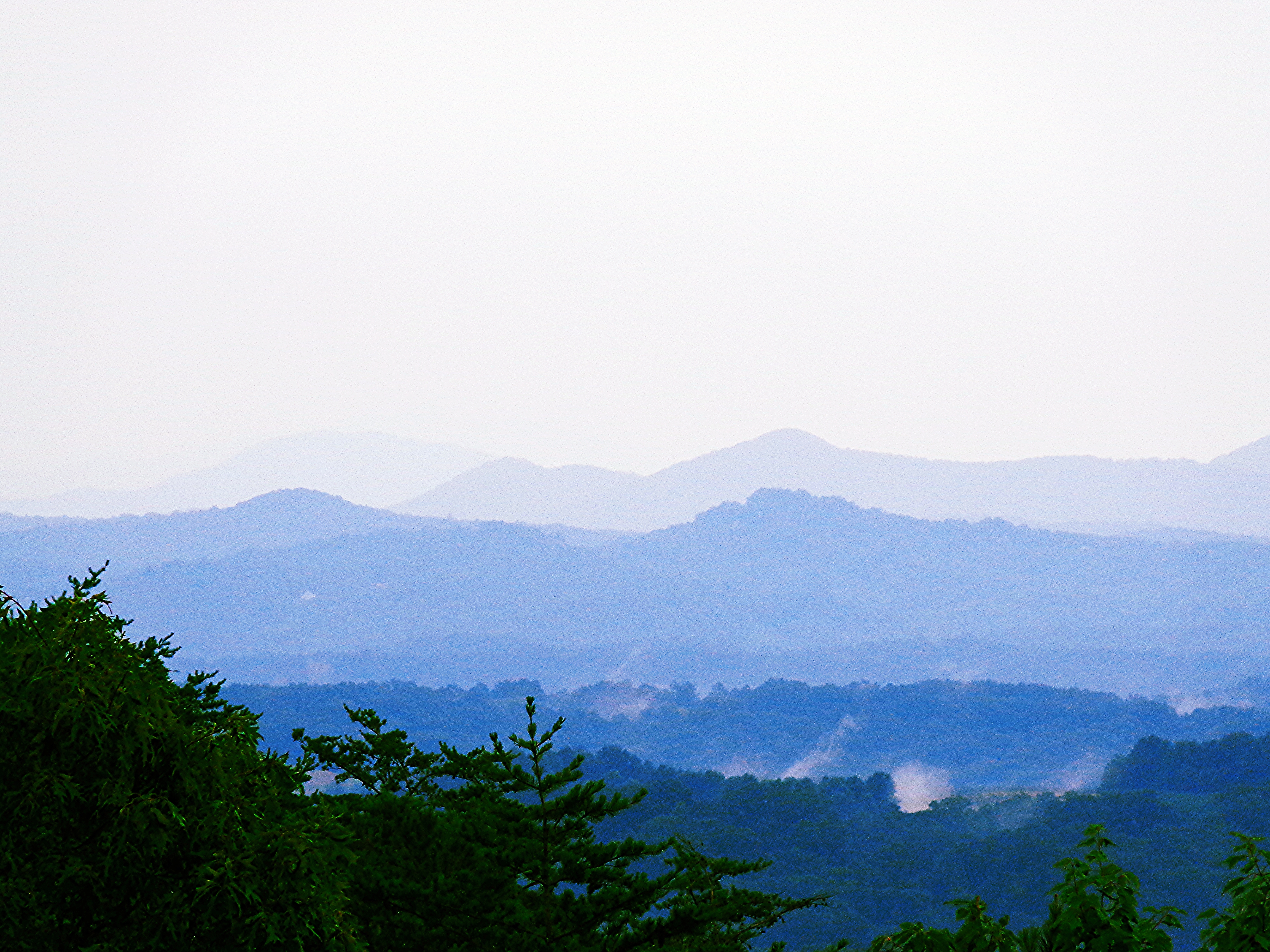
Blue Ridge Mountains
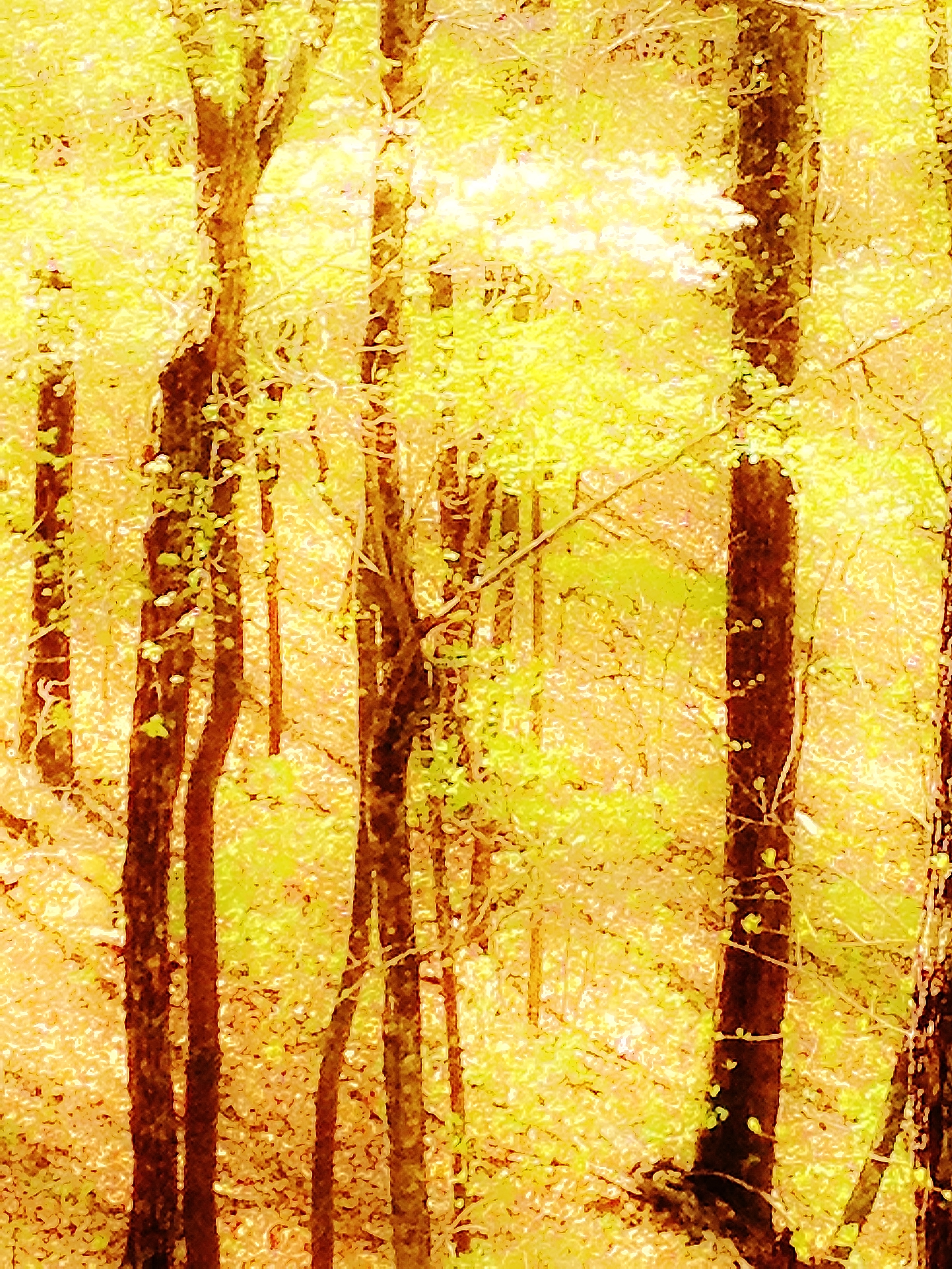
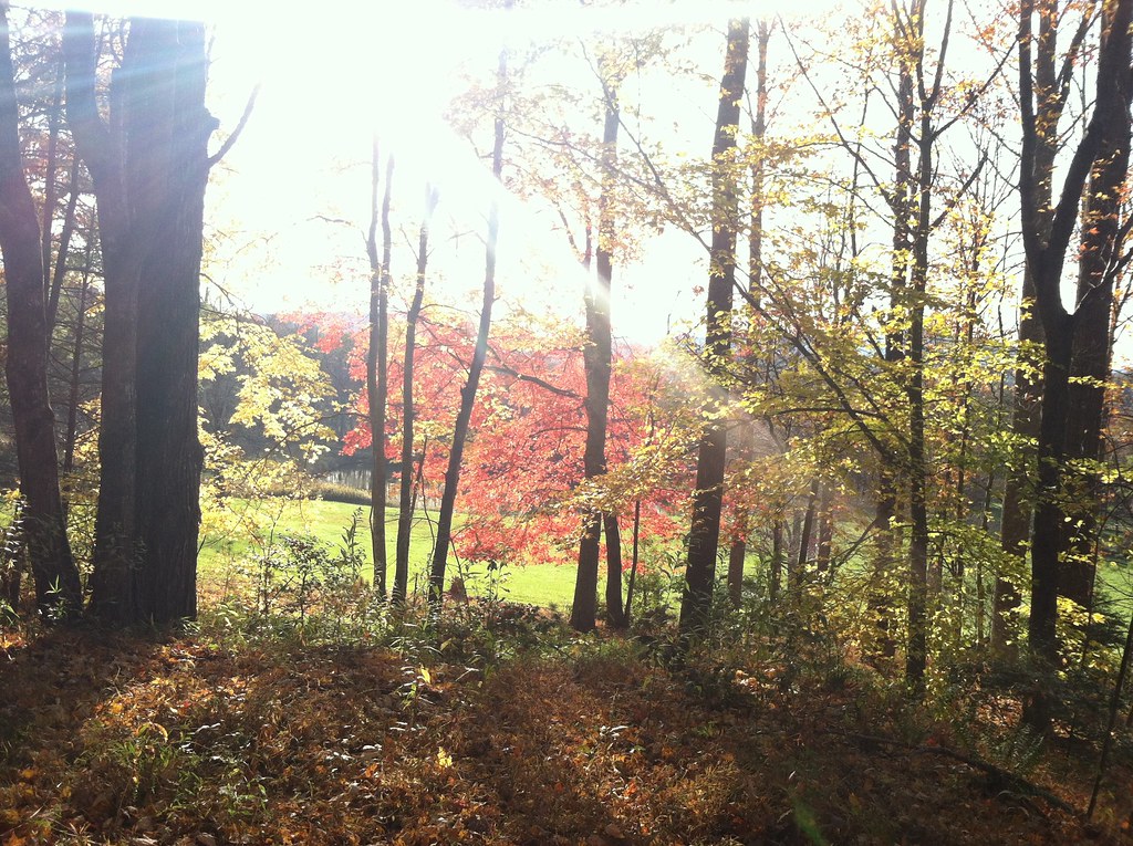
Springtime's Magic
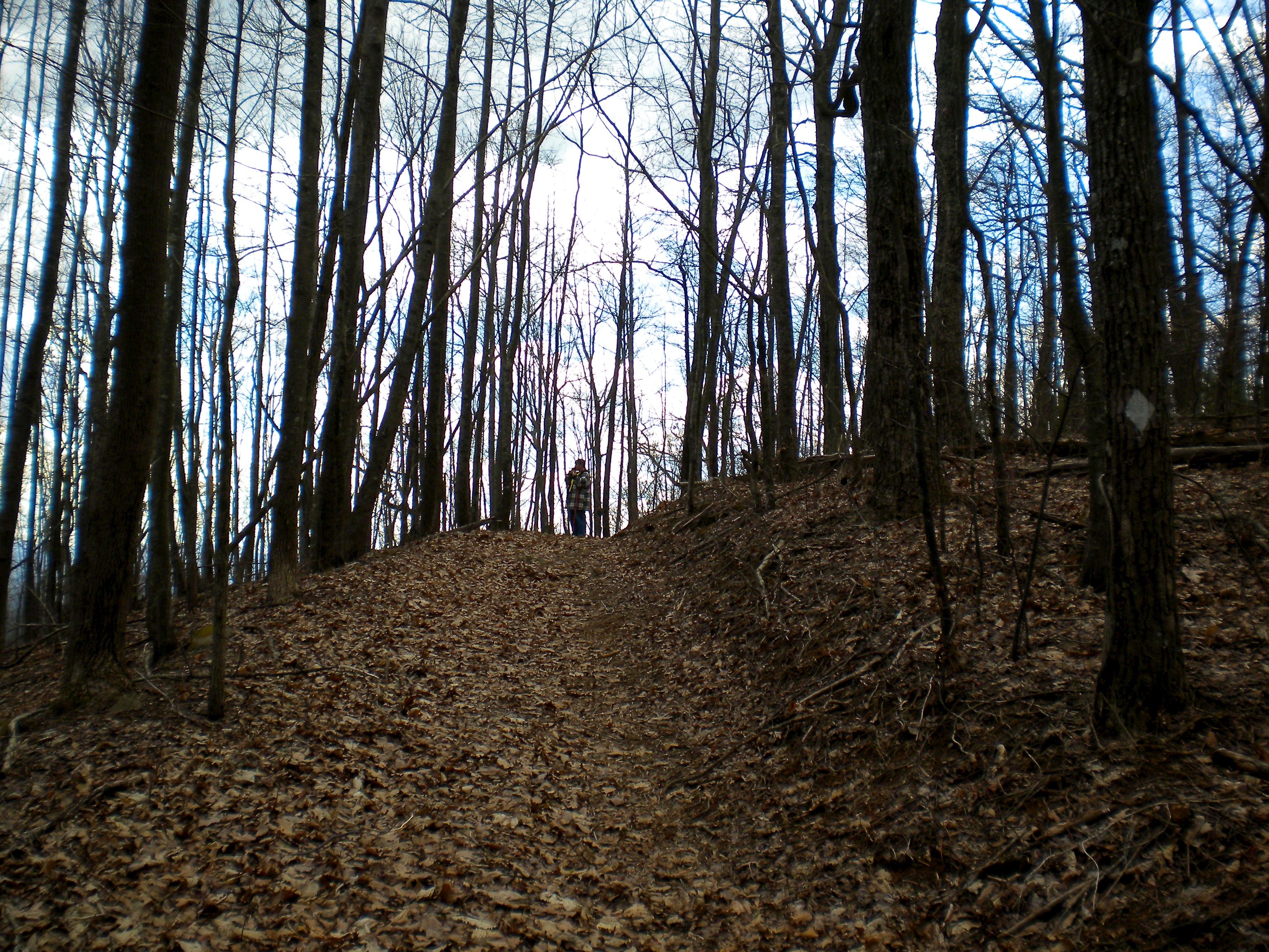
Deadennen Mtn
Truckie River Georgia 2
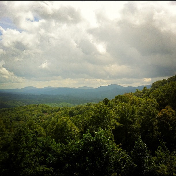
Mountains in Fannin County, Georgia
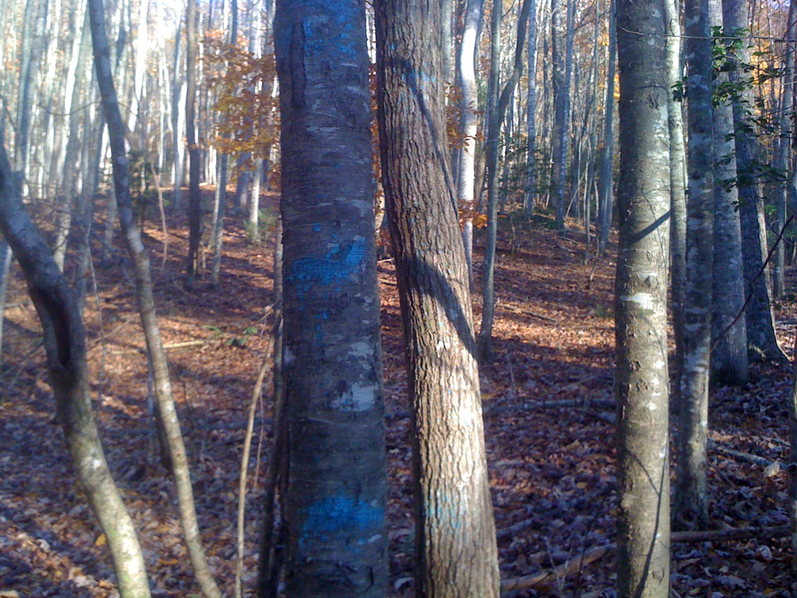
Blue Stripes
Autumn in Blue Ridge 10

IMG_9729.JPG
Camera Roll-335

IMG_9726.JPG
#blueridgemountains

Lake Nottely
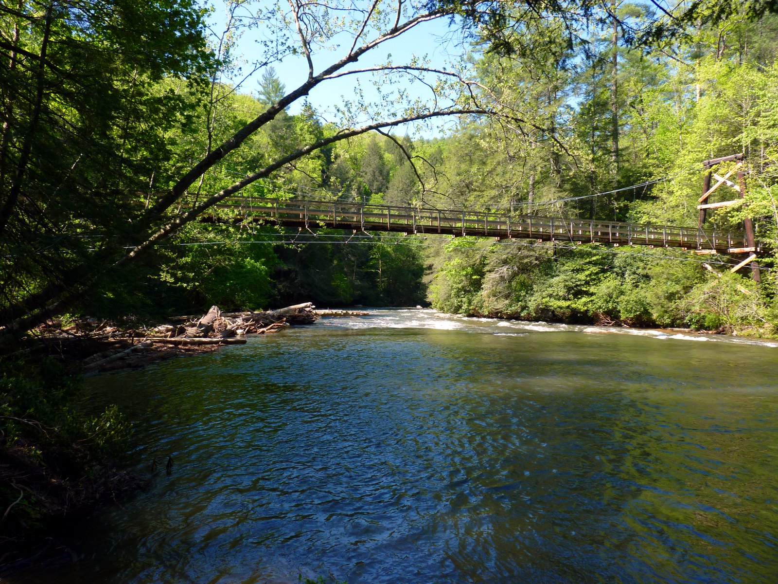
River Toccoa Suspension Bridge

Falls Branch Falls (Gilmer county, GA)
Little Skeenah Creek Road 2
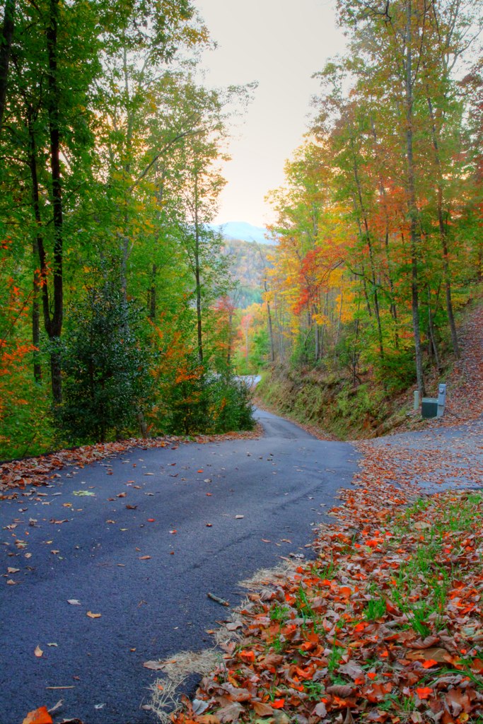
Blue Ridge, GA
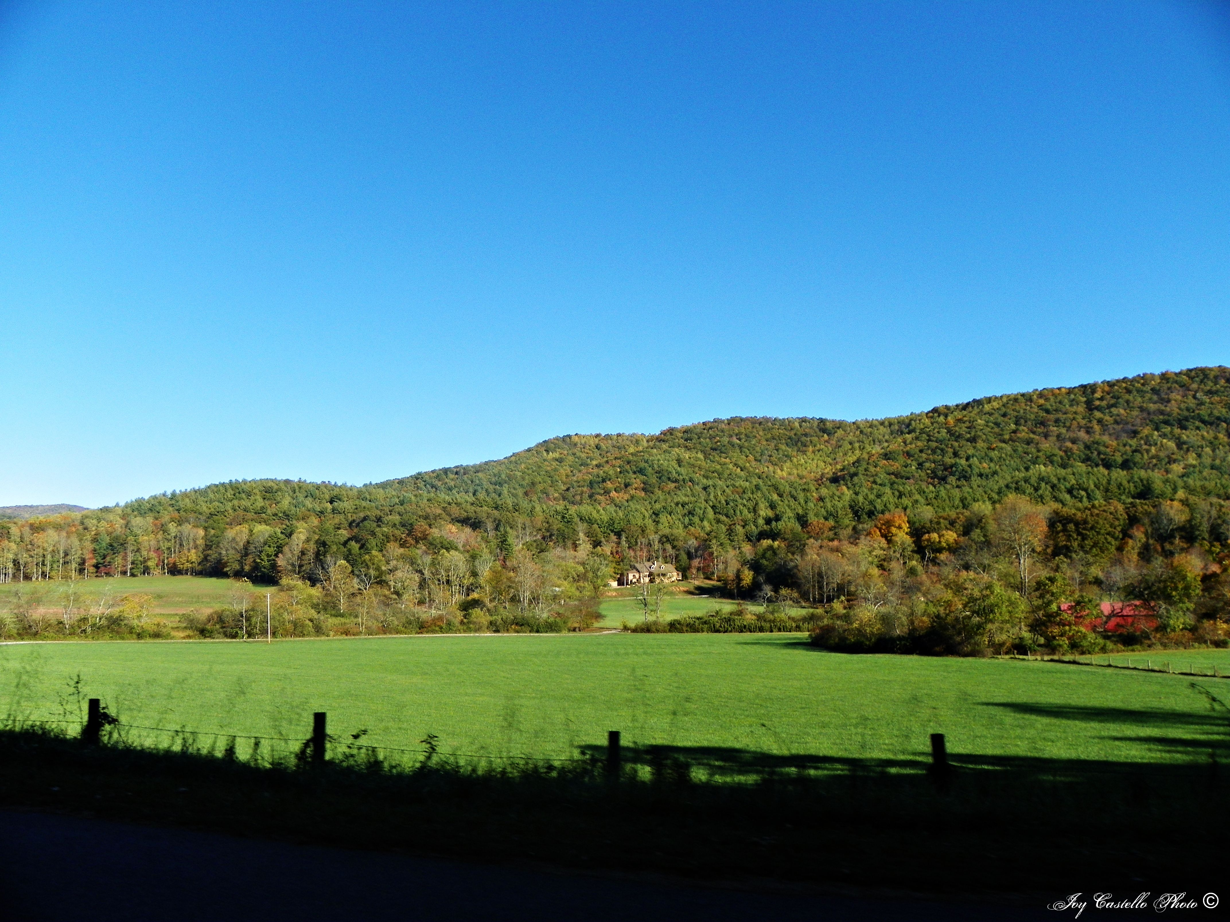
Mountains & Fall Colors in Fannin County, Georgia
IMG_9743.JPG

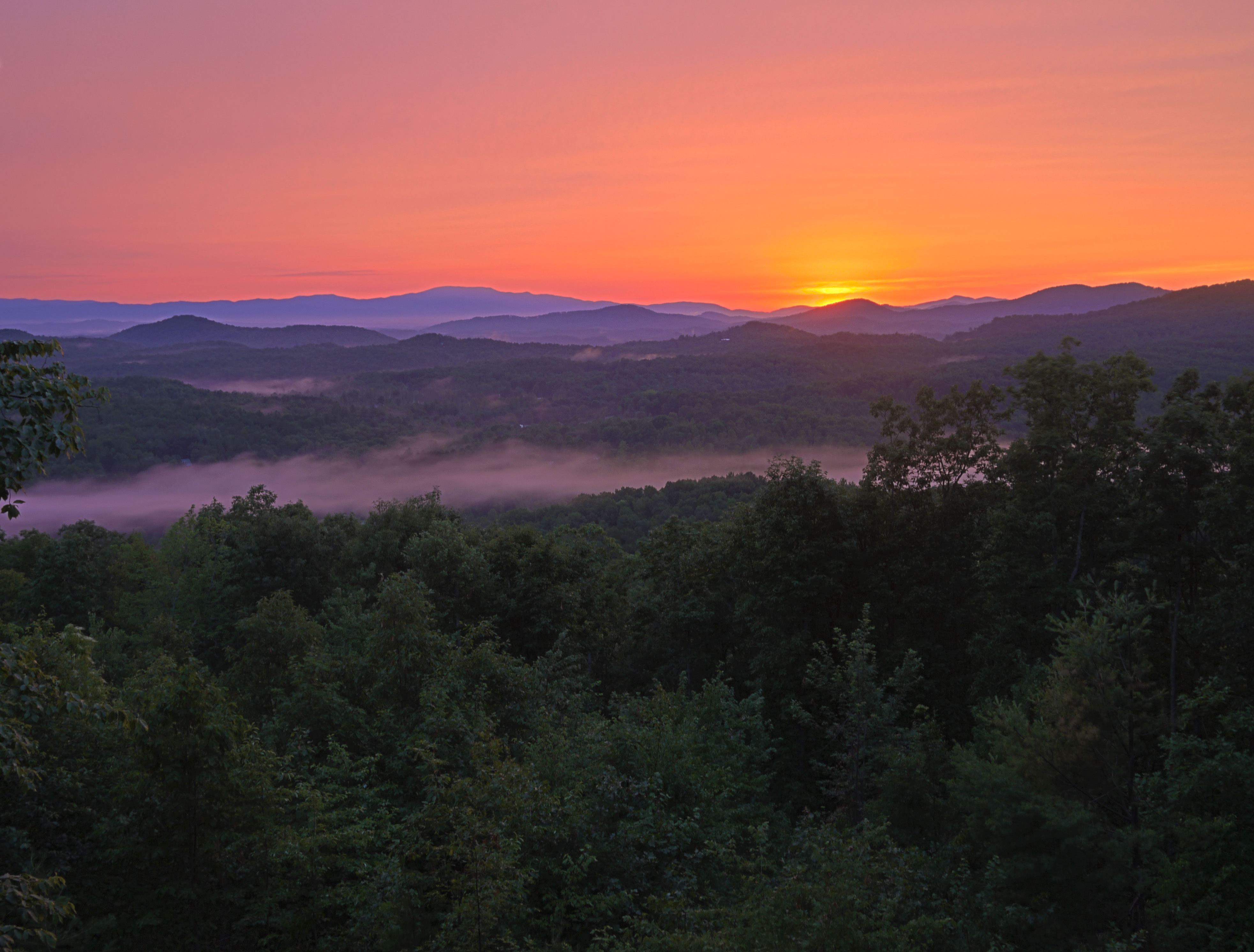
Waking Up in Georgia
Topographic Map of Enchanting Cir, Morganton, GA, USA
Find elevation by address:

Places near Enchanting Cir, Morganton, GA, USA:
Wild Turkey Trail
152 Stanley Ridge Rd #3
Stanley Ridge Road
25 Channing Ridge Rd
353 Robinson Thomas Rd
495 Stanley Ridge Rd
76 Channing Hollow
422 Channing Ridge Rd
Channing Ridge Road
323 Picklesimer Rd
323 Picklesimer Rd
323 Picklesimer Rd
323 Picklesimer Rd
323 Picklesimer Rd
393 Shepherds Walk
174 Shepherds Way
Shepherds Way
220 Chat-a-while Ln
707 Shepherds Ridge
Hemp
Recent Searches:
- Elevation of Côte-des-Neiges, Montreal, QC H4A 3J6, Canada
- Elevation of Bobcat Dr, Helena, MT, USA
- Elevation of Zu den Ihlowbergen, Althüttendorf, Germany
- Elevation of Badaber, Peshawar, Khyber Pakhtunkhwa, Pakistan
- Elevation of SE Heron Loop, Lincoln City, OR, USA
- Elevation of Slanický ostrov, 01 Námestovo, Slovakia
- Elevation of Spaceport America, Co Rd A, Truth or Consequences, NM, USA
- Elevation of Warwick, RI, USA
- Elevation of Fern Rd, Whitmore, CA, USA
- Elevation of 62 Abbey St, Marshfield, MA, USA