Elevation of Emma Burr Mountain, Colorado, USA
Location: United States > Colorado > Nathrop >
Longitude: -106.41613
Latitude: 38.7338843
Elevation: 4039m / 13251feet
Barometric Pressure: 61KPa
Elevation Map:
Satellite Map:
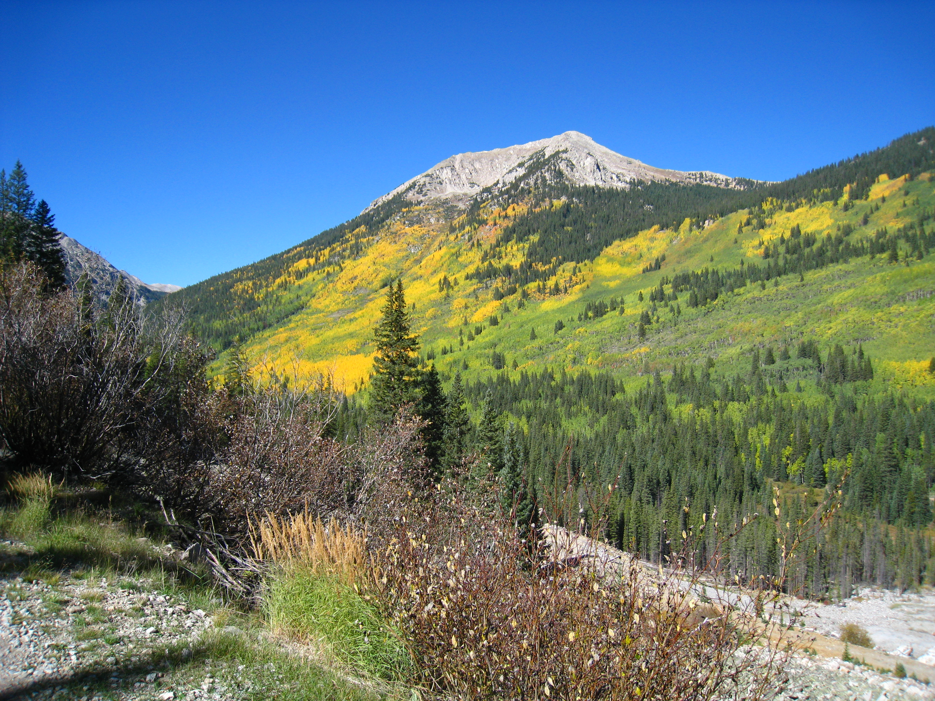
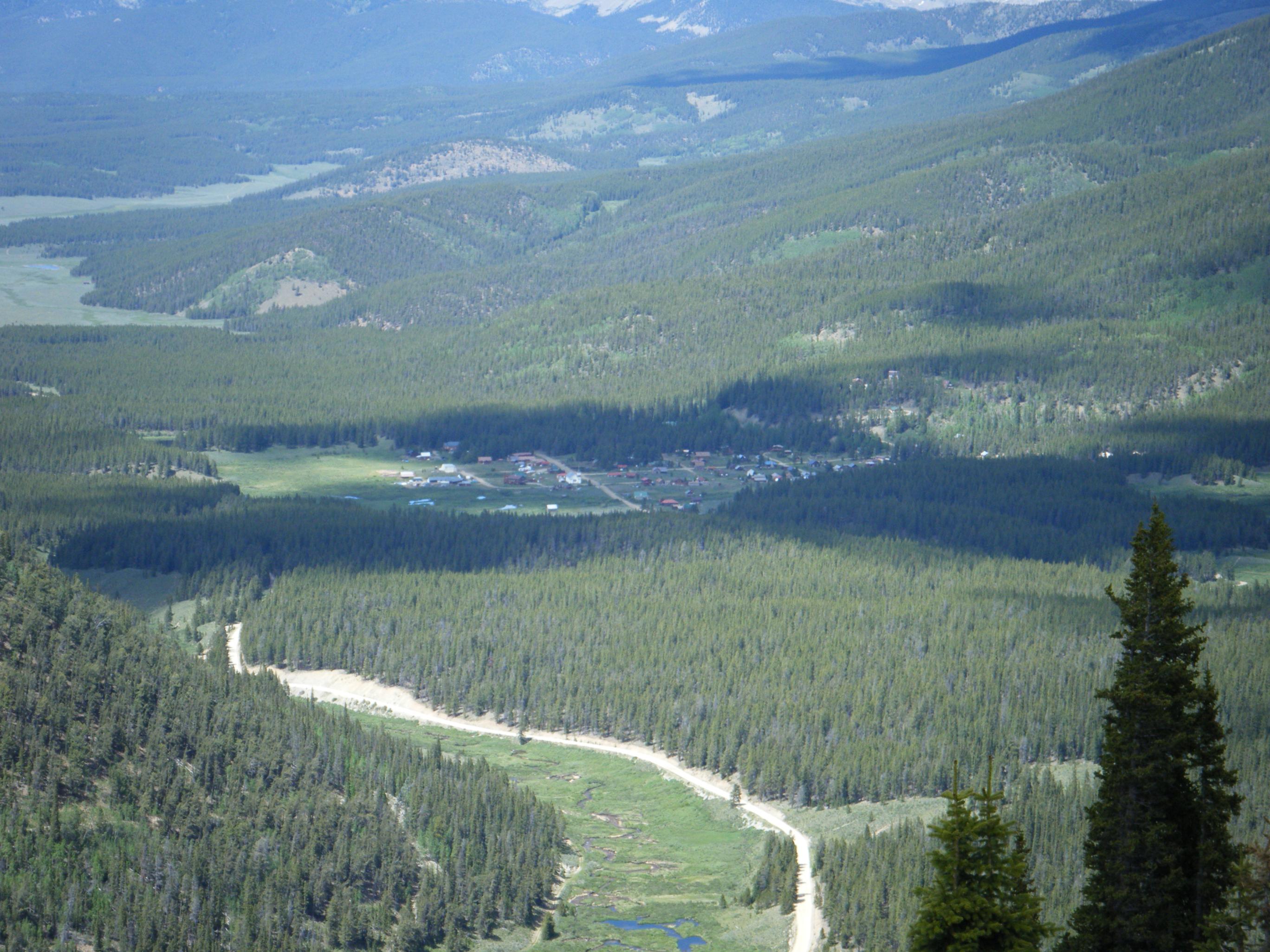
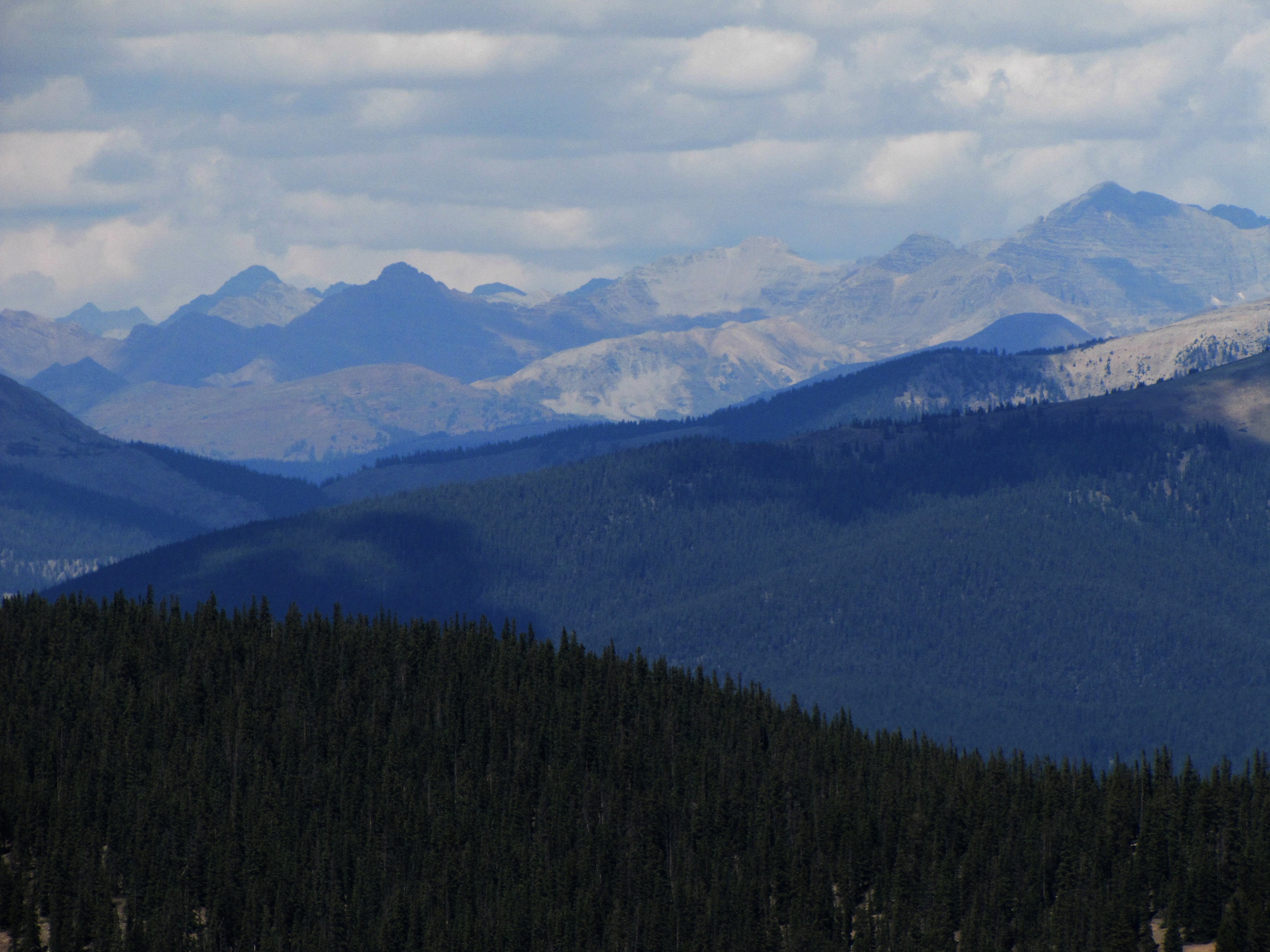
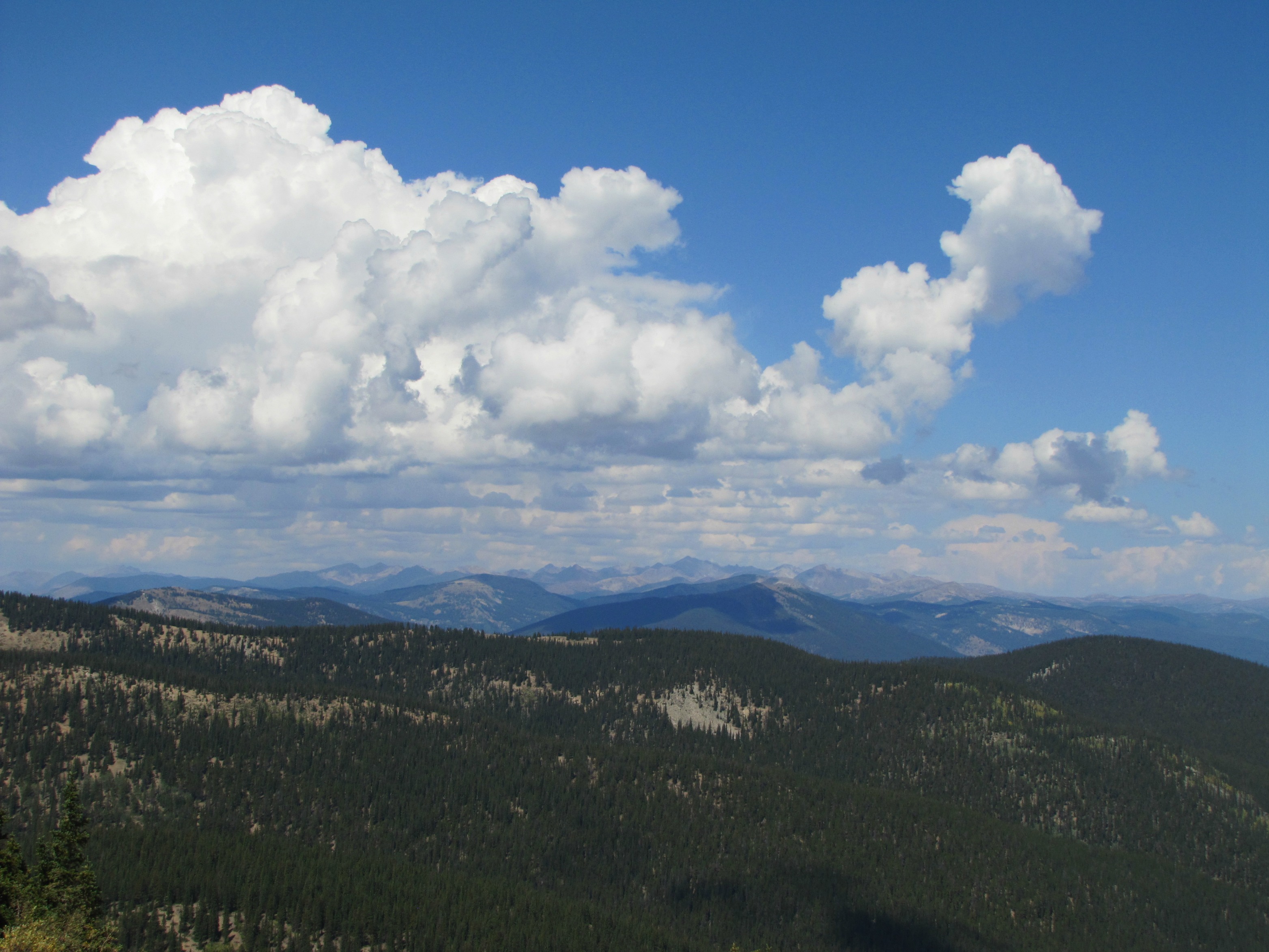
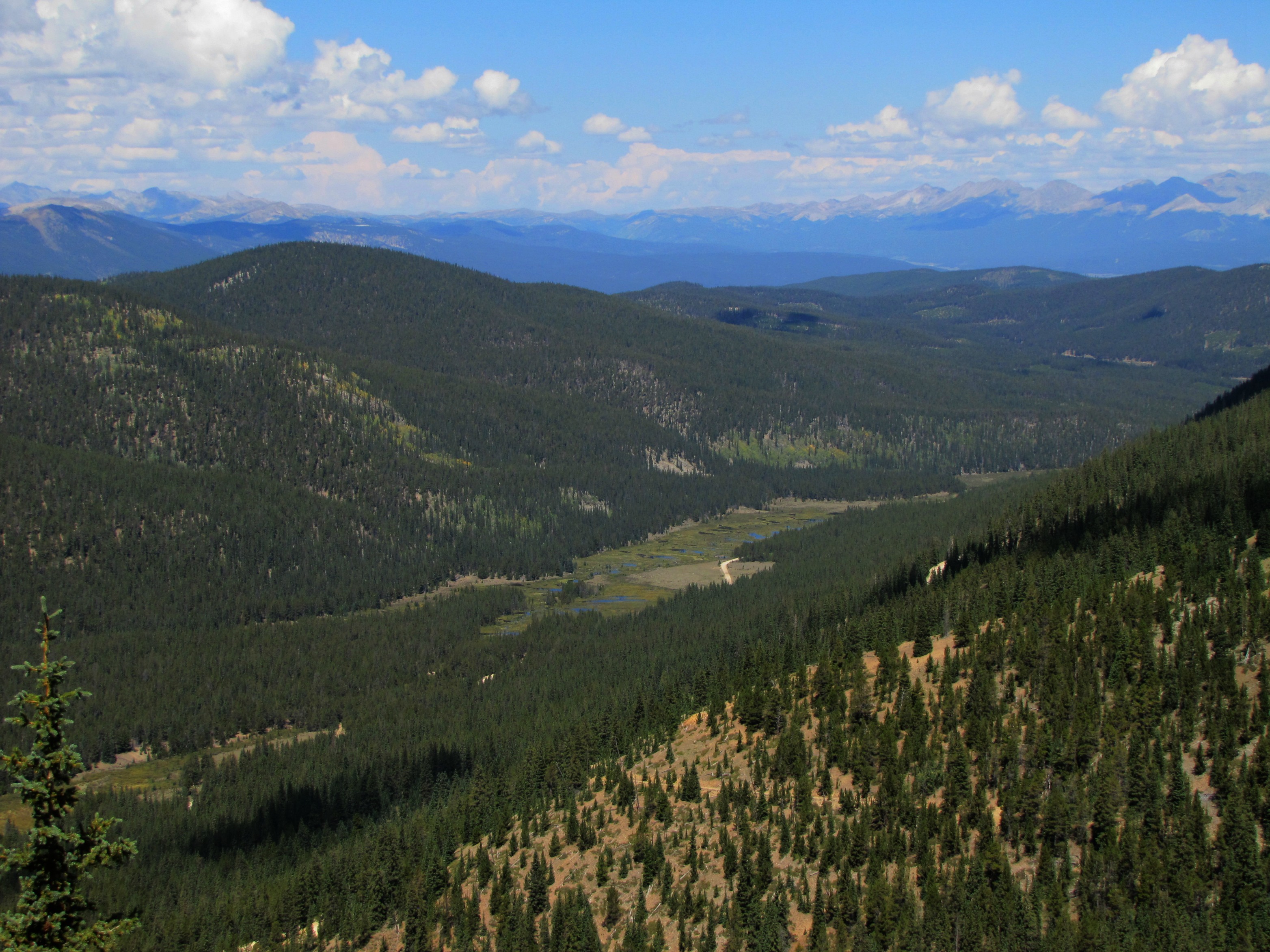
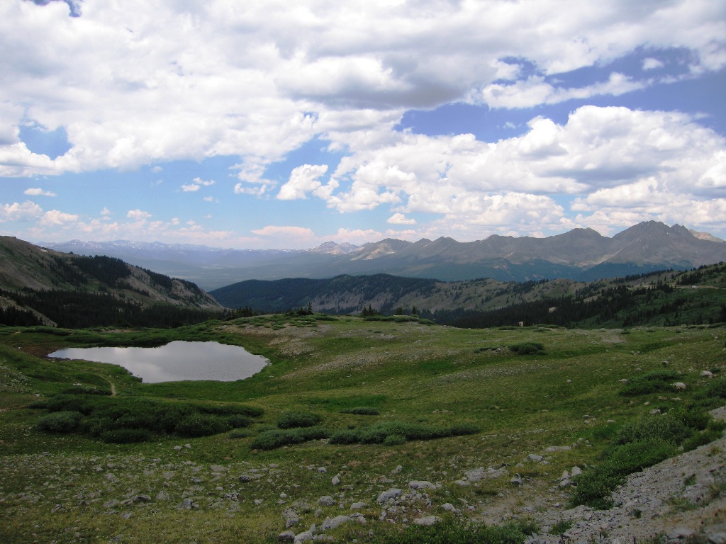
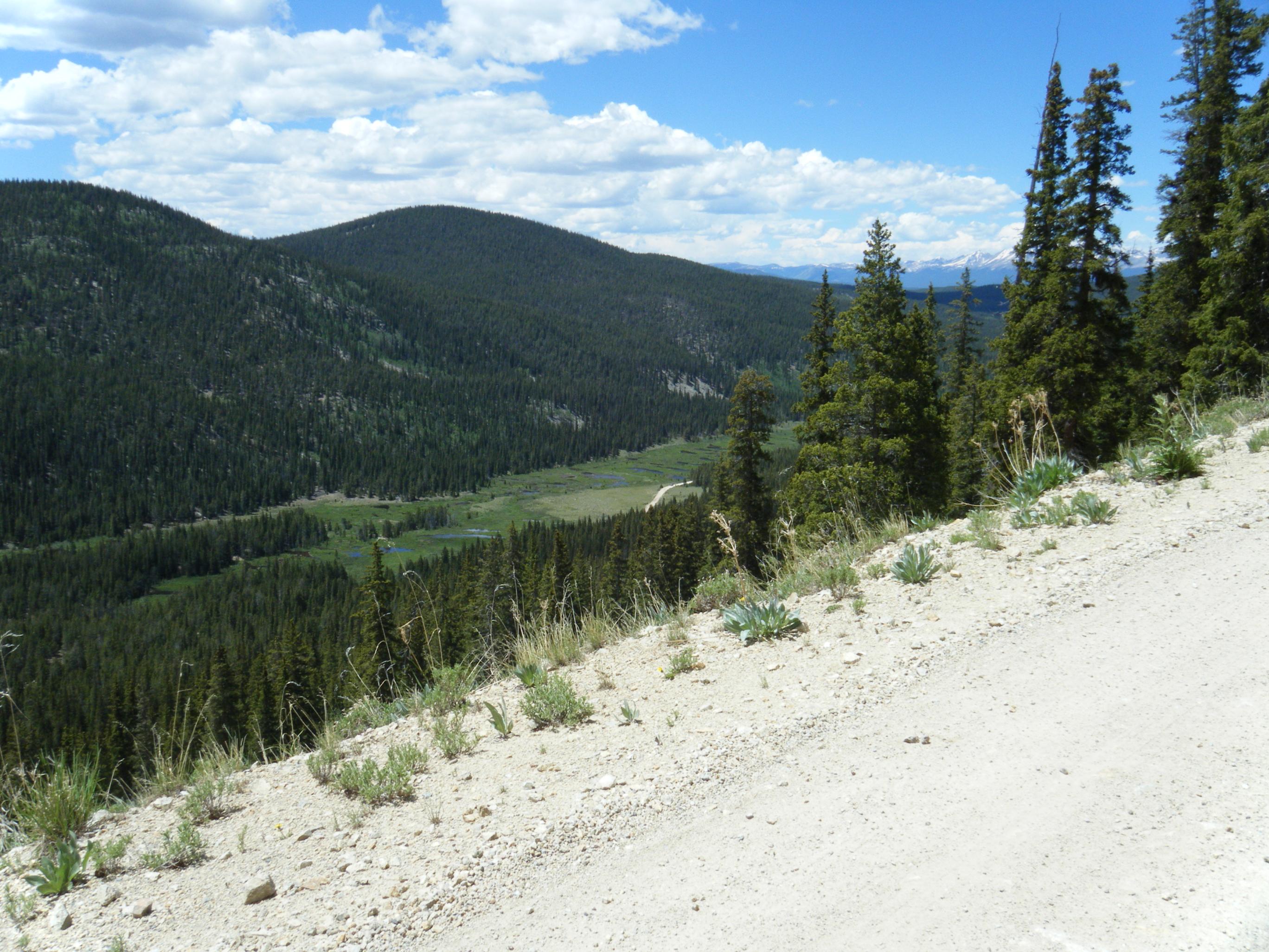
Related Photos:
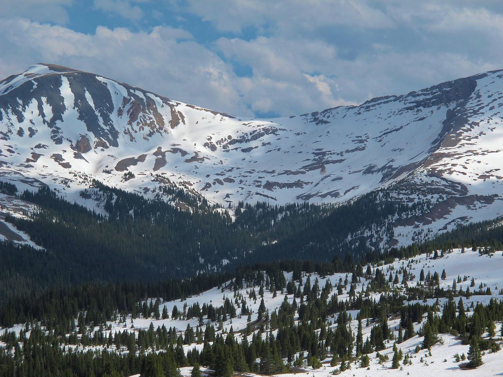
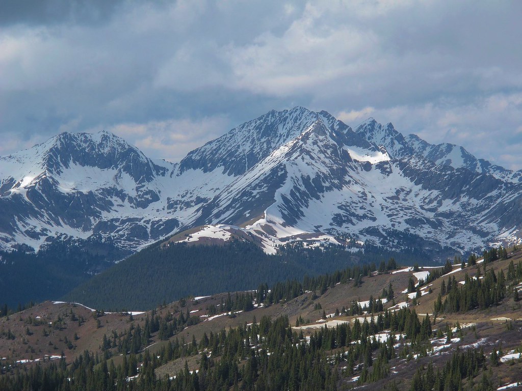
Still Lots of Snow
Day 171: Avalanche Trailhead View (06/20/14)
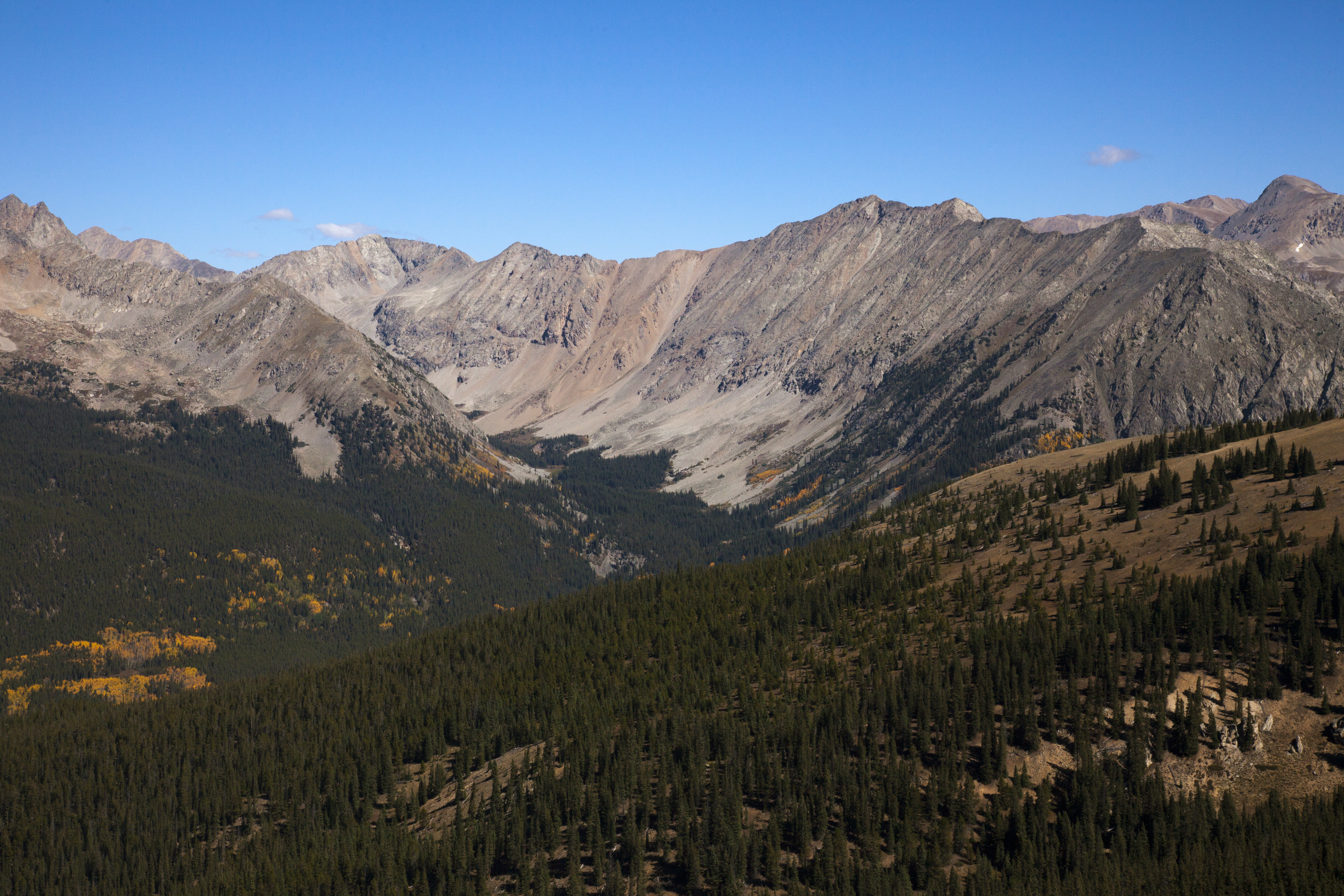
Collegiate Peaks Wilderness

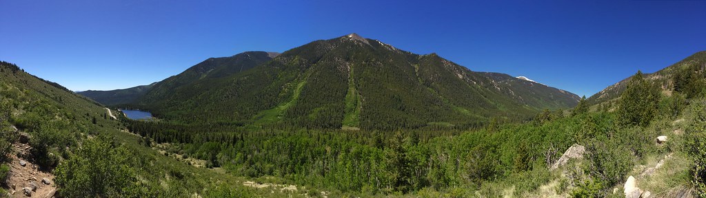
2015_05_27_0010-Pano
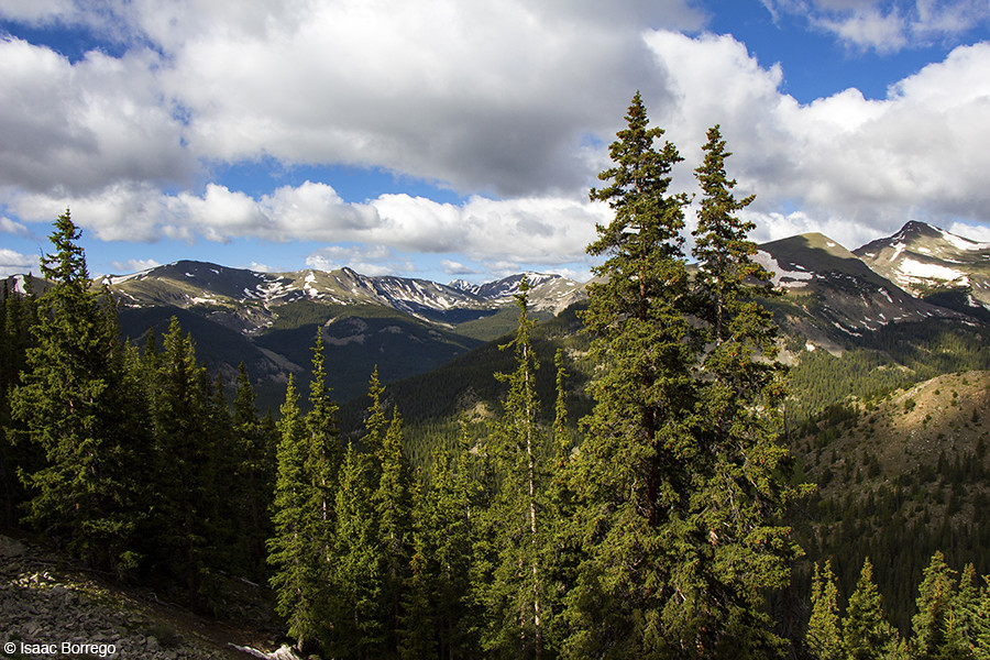
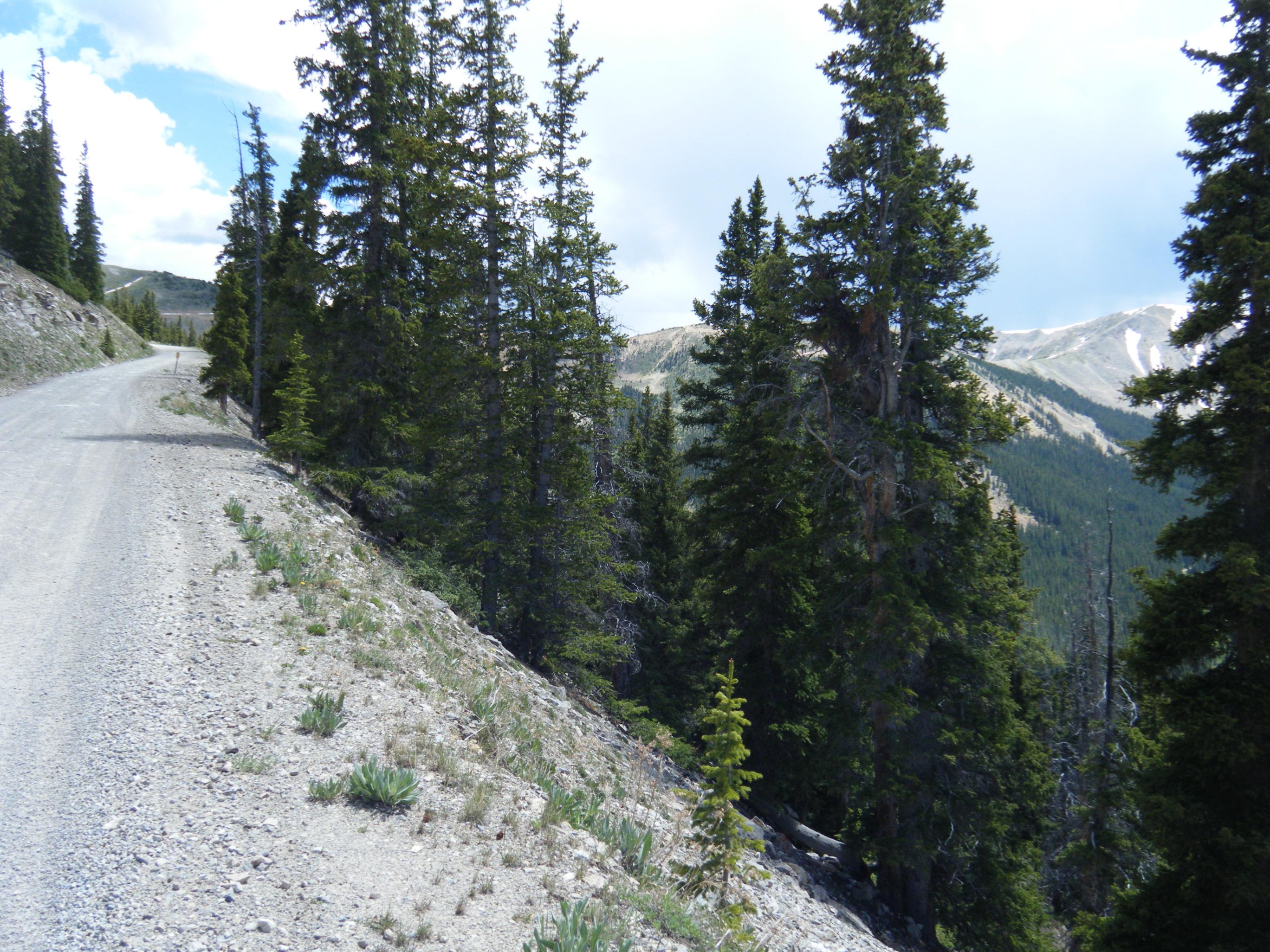
View at Treeline
IMG_0287.JPG

14 July 2 Mount Antero from Princeton
DSCF0417.JPG

14 July 12 Mount Yale from Princeton
Views from Cumberland Pass (3 of 3)
Views from Cumberland Pass (2 of 3)
Views from Cumberland Pass (1 of 3)
Cottonwood Pass View
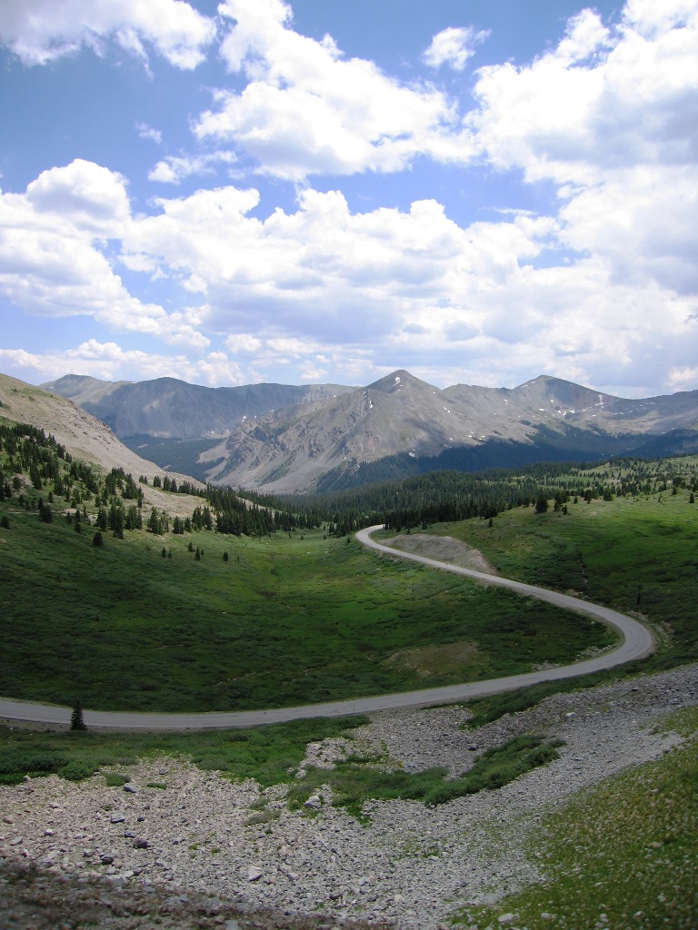
Cottonwood Pass View
DSCF0406.JPG
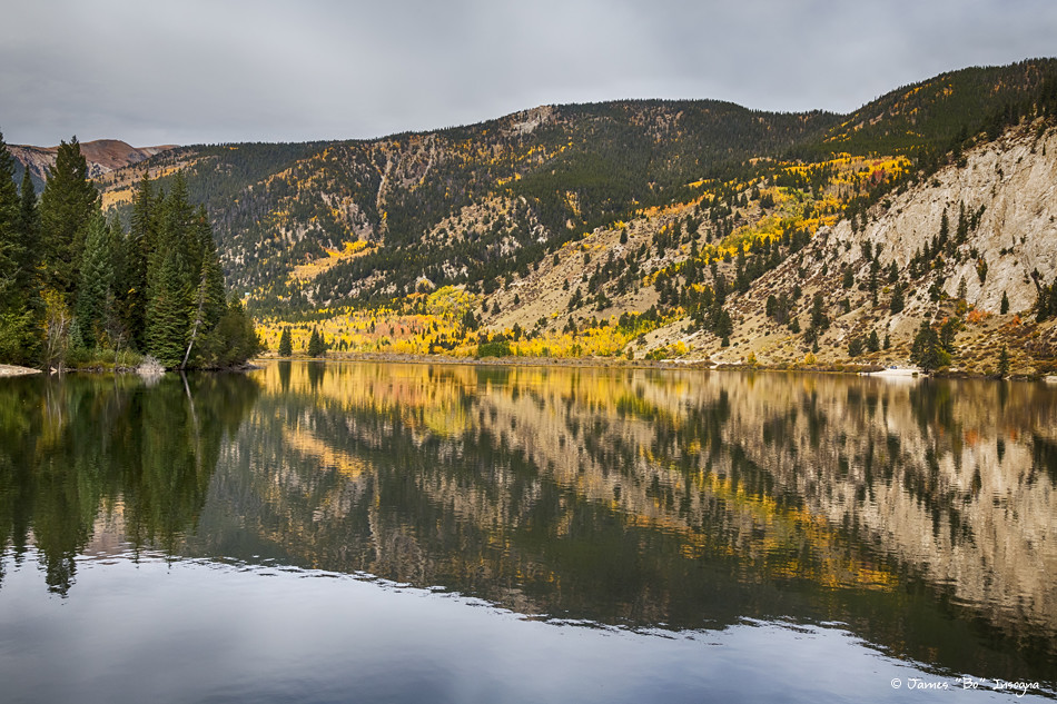
Colorado Autumn Fishing Lake Reflections

DSCF0416.JPG
DSCF0409.JPG

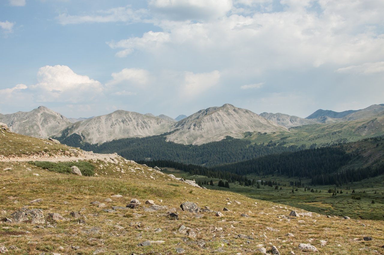
Cottonwood Valley
Mountain Majesty
Tin Cup Pass
Topographic Map of Emma Burr Mountain, Colorado, USA
Find elevation by address:

Places near Emma Burr Mountain, Colorado, USA:
Fitzpatrick Peak
Napoleon Mountain
Washington St, Almont, CO, USA
Tincup
Saint Elmo
Co Rd, Nathrop, CO, USA
Gladstone Ridge
378 Wolf Canyon Dr
Rainbow Rd, Almont, CO, USA
Turner Peak
Hartenstein Lake
Denny Creek Trailhead
22893 Co Rd 292b
Cottonwood Lake Campground
Sheep Mountain North
Sheep Mountain South
Chaffee County
Mount Princeton
Mount Antero
16371 Falcon Dr
Recent Searches:
- Elevation of Corso Fratelli Cairoli, 35, Macerata MC, Italy
- Elevation of Tallevast Rd, Sarasota, FL, USA
- Elevation of 4th St E, Sonoma, CA, USA
- Elevation of Black Hollow Rd, Pennsdale, PA, USA
- Elevation of Oakland Ave, Williamsport, PA, USA
- Elevation of Pedrógão Grande, Portugal
- Elevation of Klee Dr, Martinsburg, WV, USA
- Elevation of Via Roma, Pieranica CR, Italy
- Elevation of Tavkvetili Mountain, Georgia
- Elevation of Hartfords Bluff Cir, Mt Pleasant, SC, USA