Elevation of Eminence Rd, Summit, NY, USA
Location: United States > New York > Schoharie County > Summit > Summit >
Longitude: -74.560834
Latitude: 42.5395235
Elevation: 527m / 1729feet
Barometric Pressure: 95KPa
Elevation Map:
Satellite Map:
Related Photos:
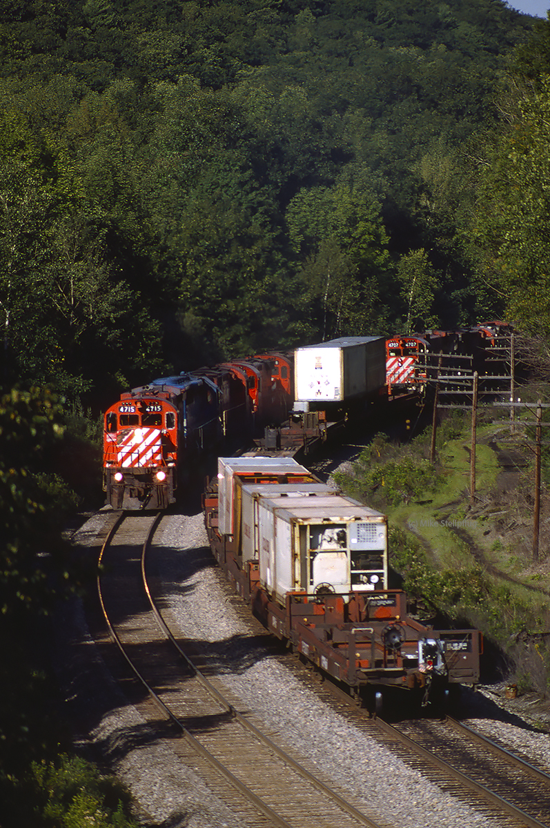
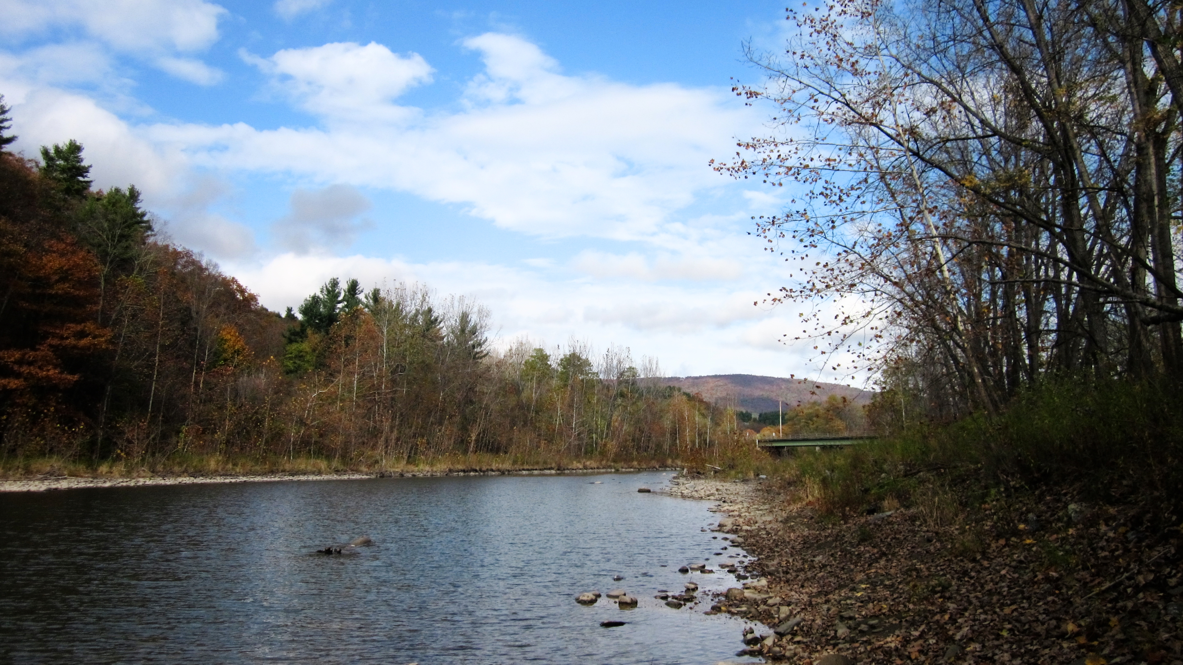
CP 4715 West Richmondville meet
On Mount Utsayantha

cst-hills

Mine Kill State Park

View of Gorge Walls

Little Known View of Mine Kill Falls

Time for take off...

Mine Kill State Park
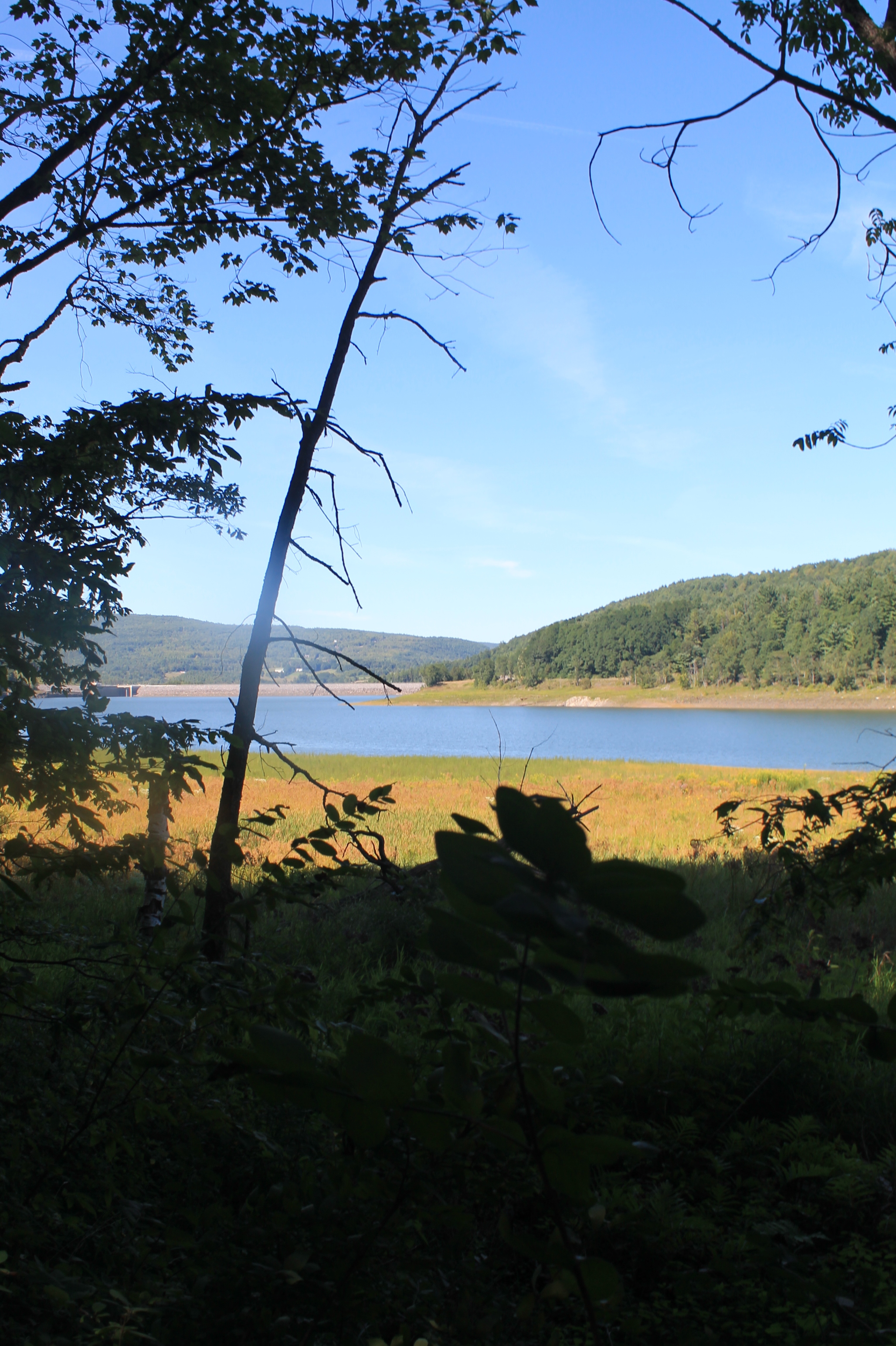
Reservior View
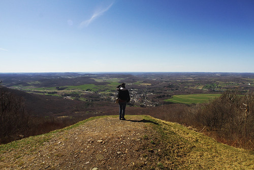
A View From Vromans Nose
Another View from the Clear Cut
It's up there...
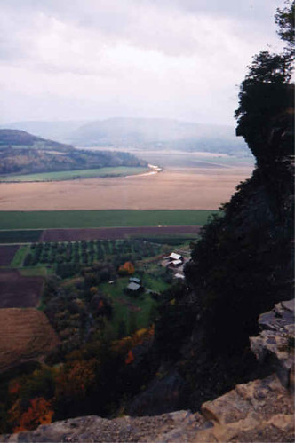
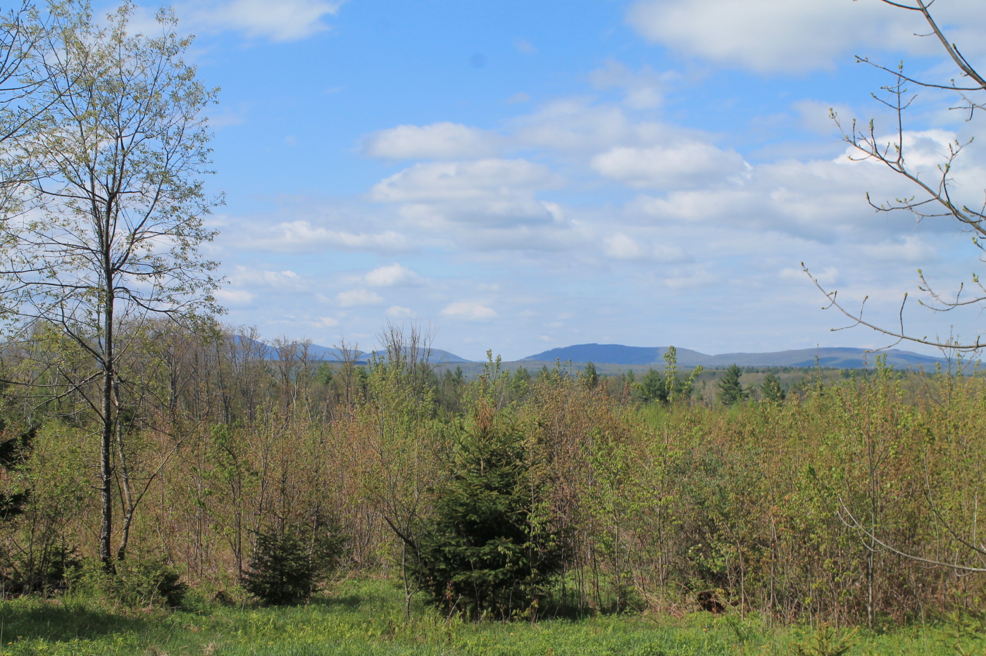
View Into Valley

View from Middle Landing
April 10 (100/365)
Mount Utsayantha
Madalyn's Place

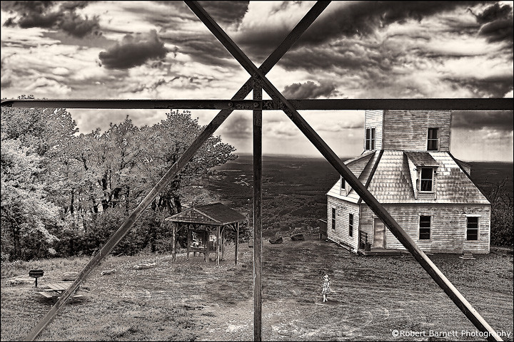
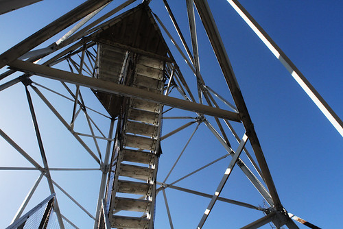
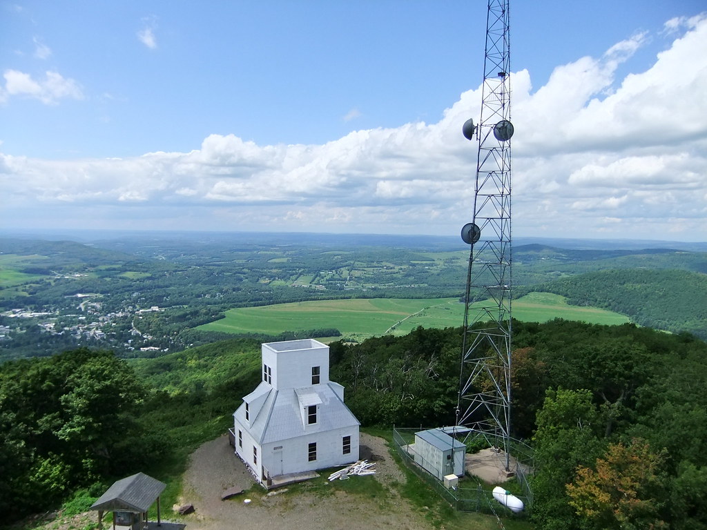
View from fire tower
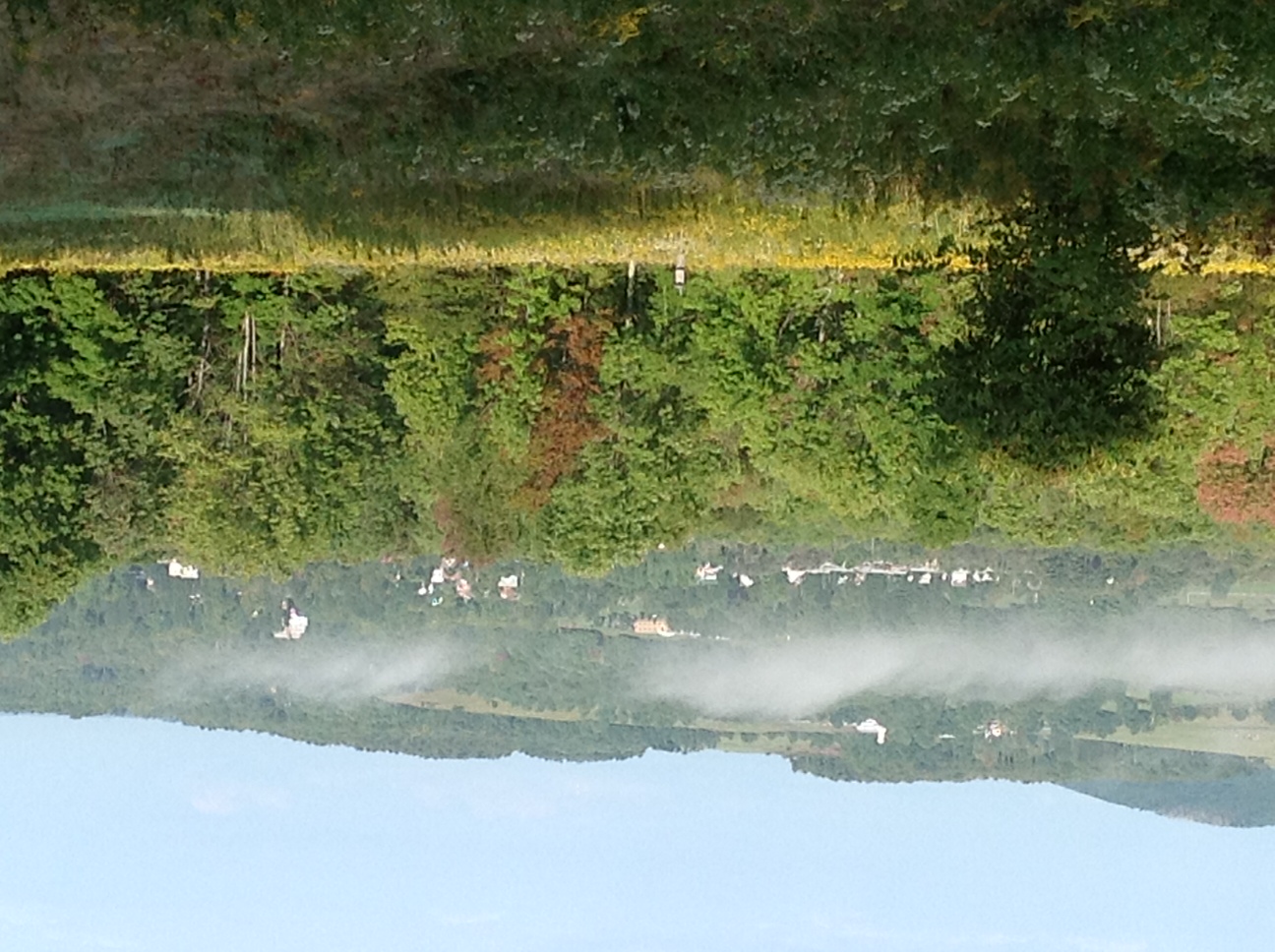
Morning Mist, Stamford

Fire tower view.

fossil beach view
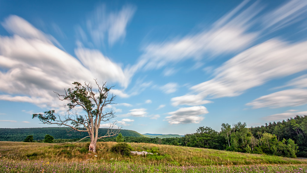
A Tree
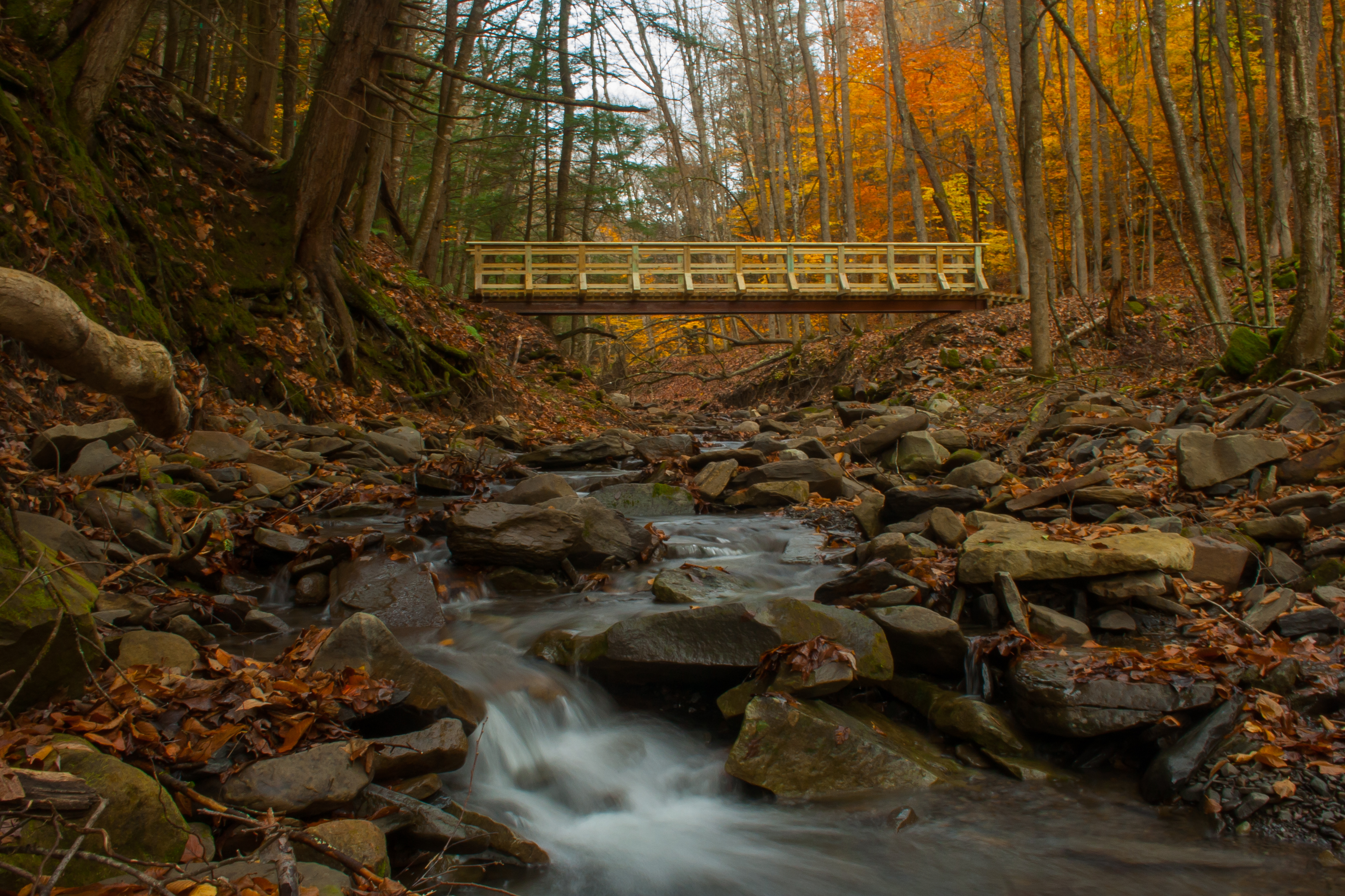
New footbridge in the Patria State Forest
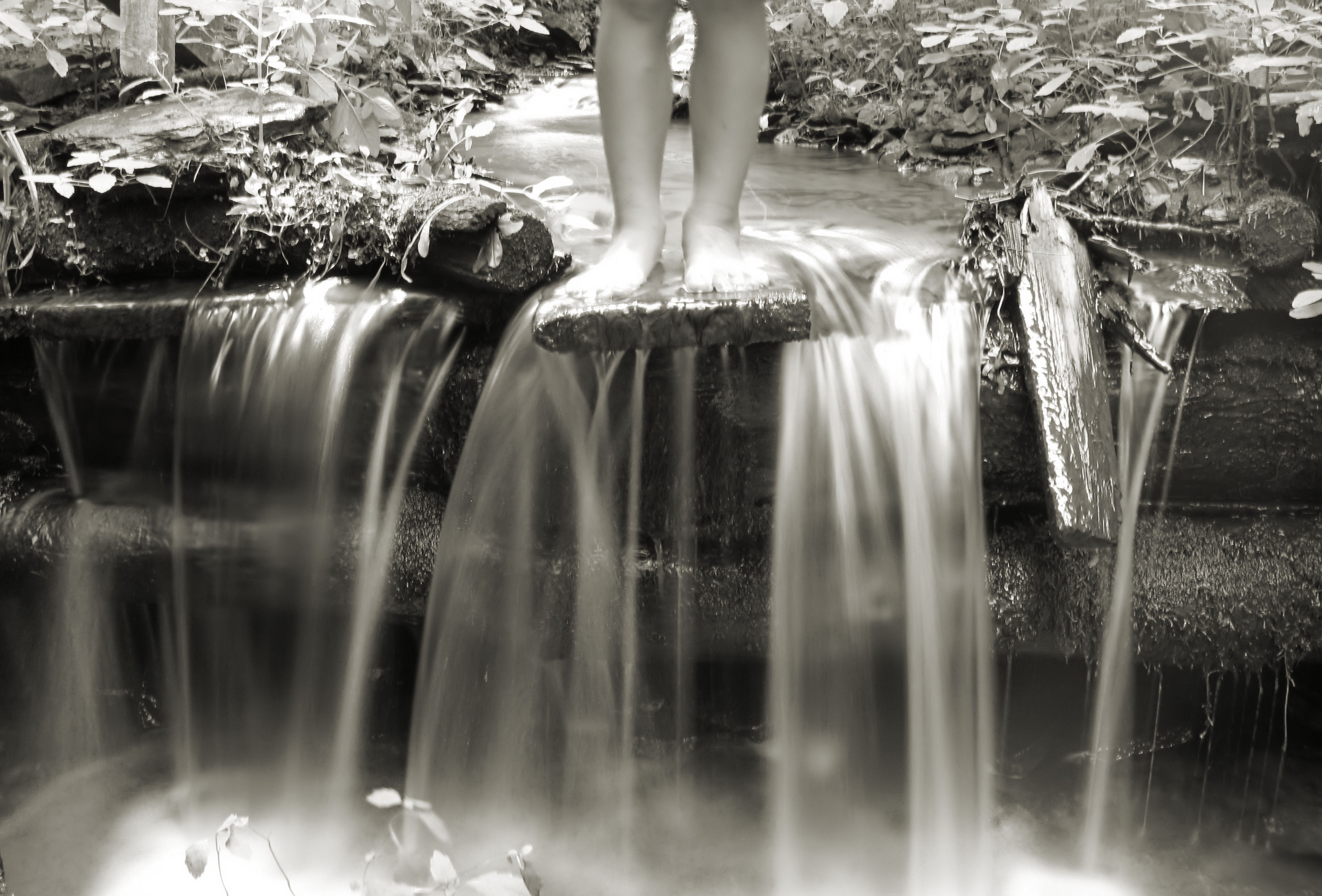
HDR Waterfall
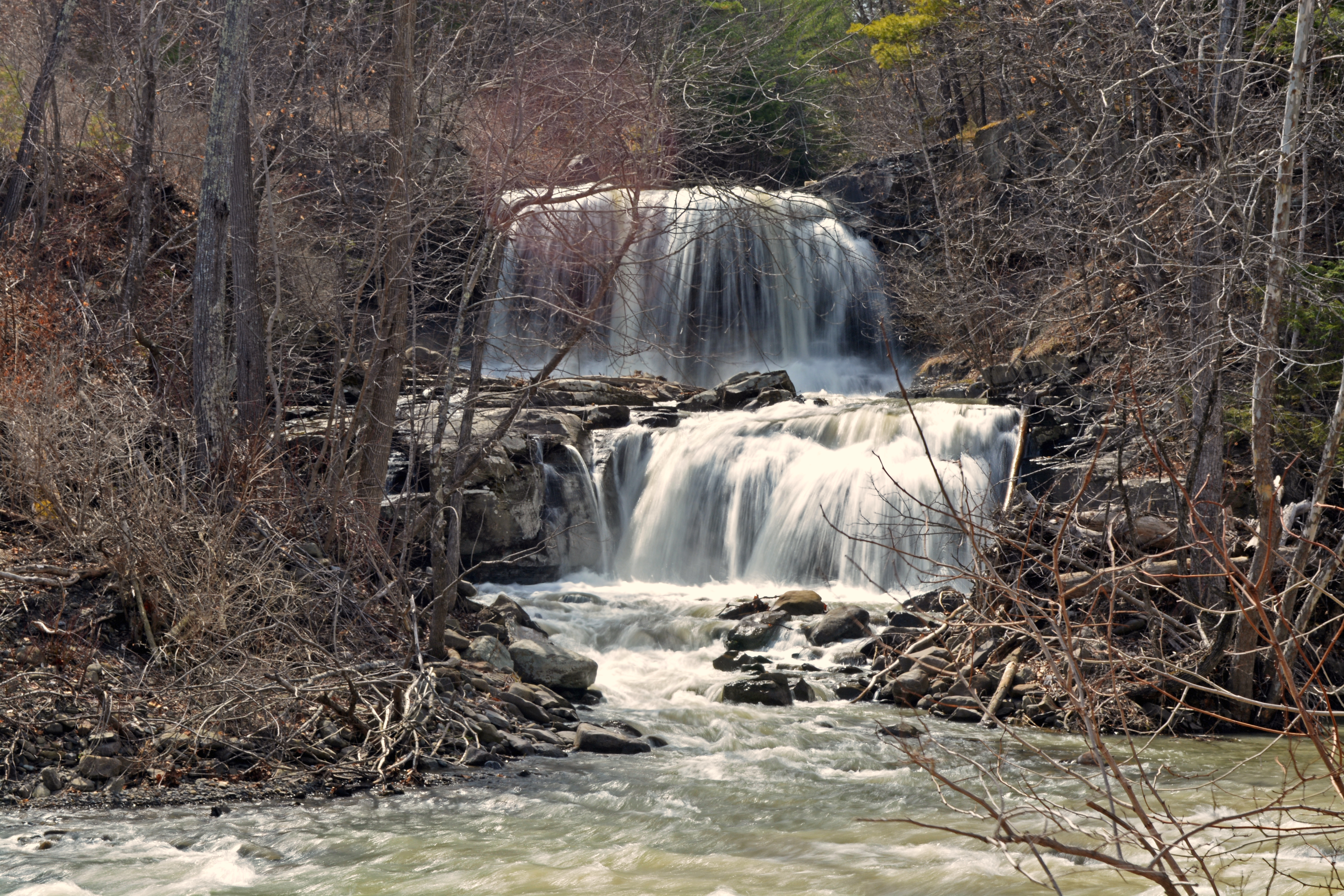
Mill Creek Falls

Middleburgh,NY
Mt Utsayantha
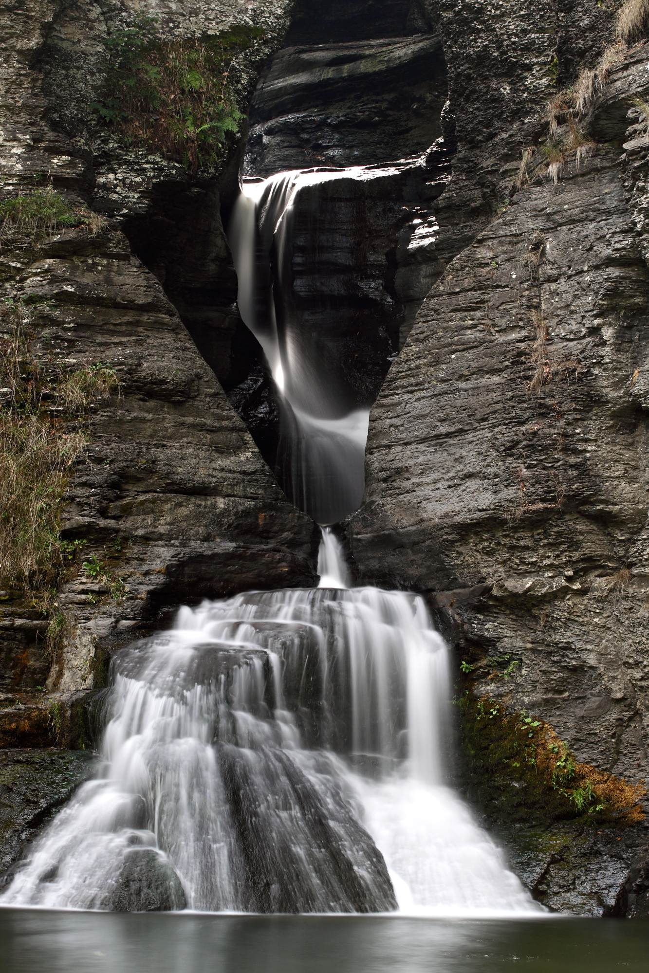
Mine Kill Falls
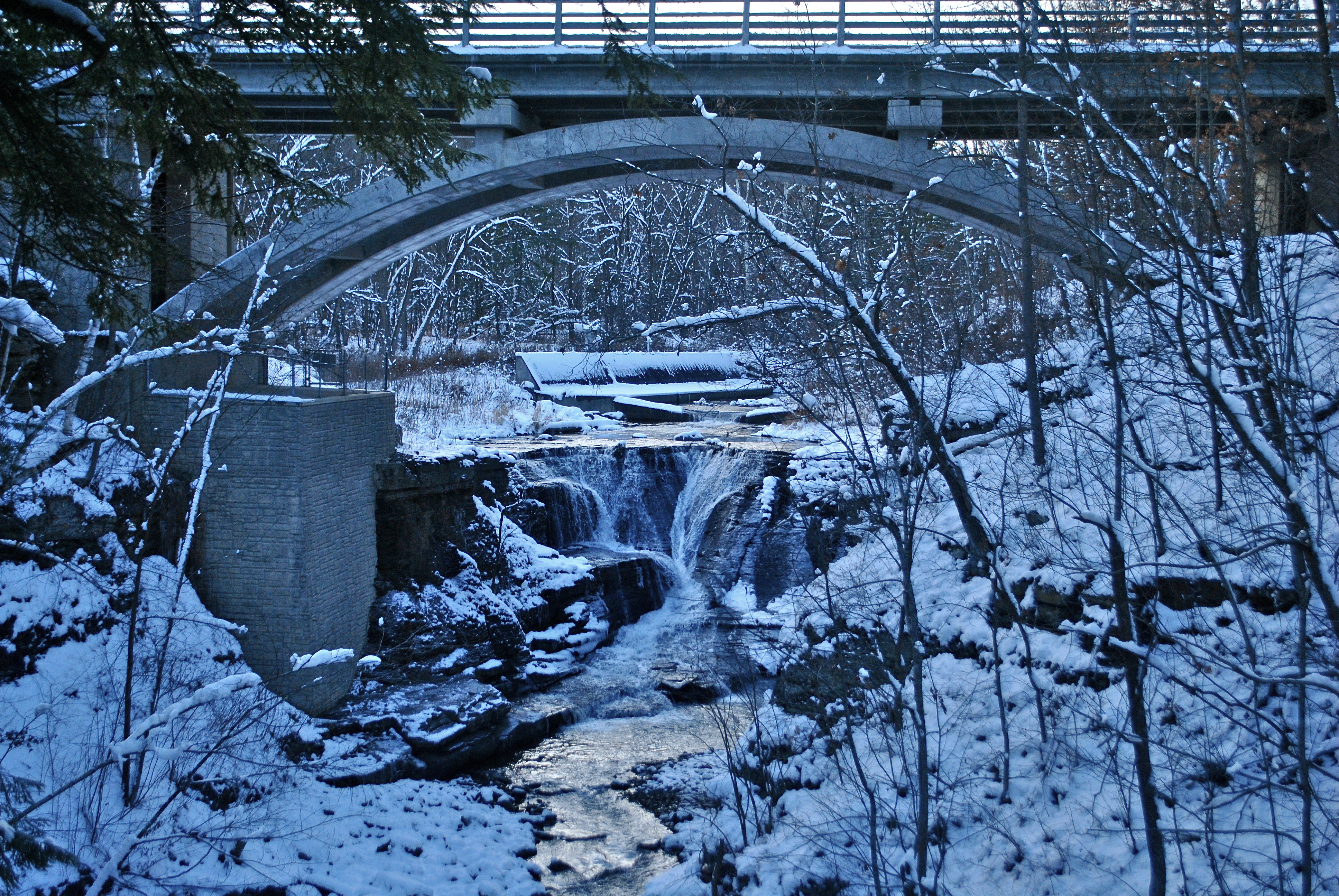
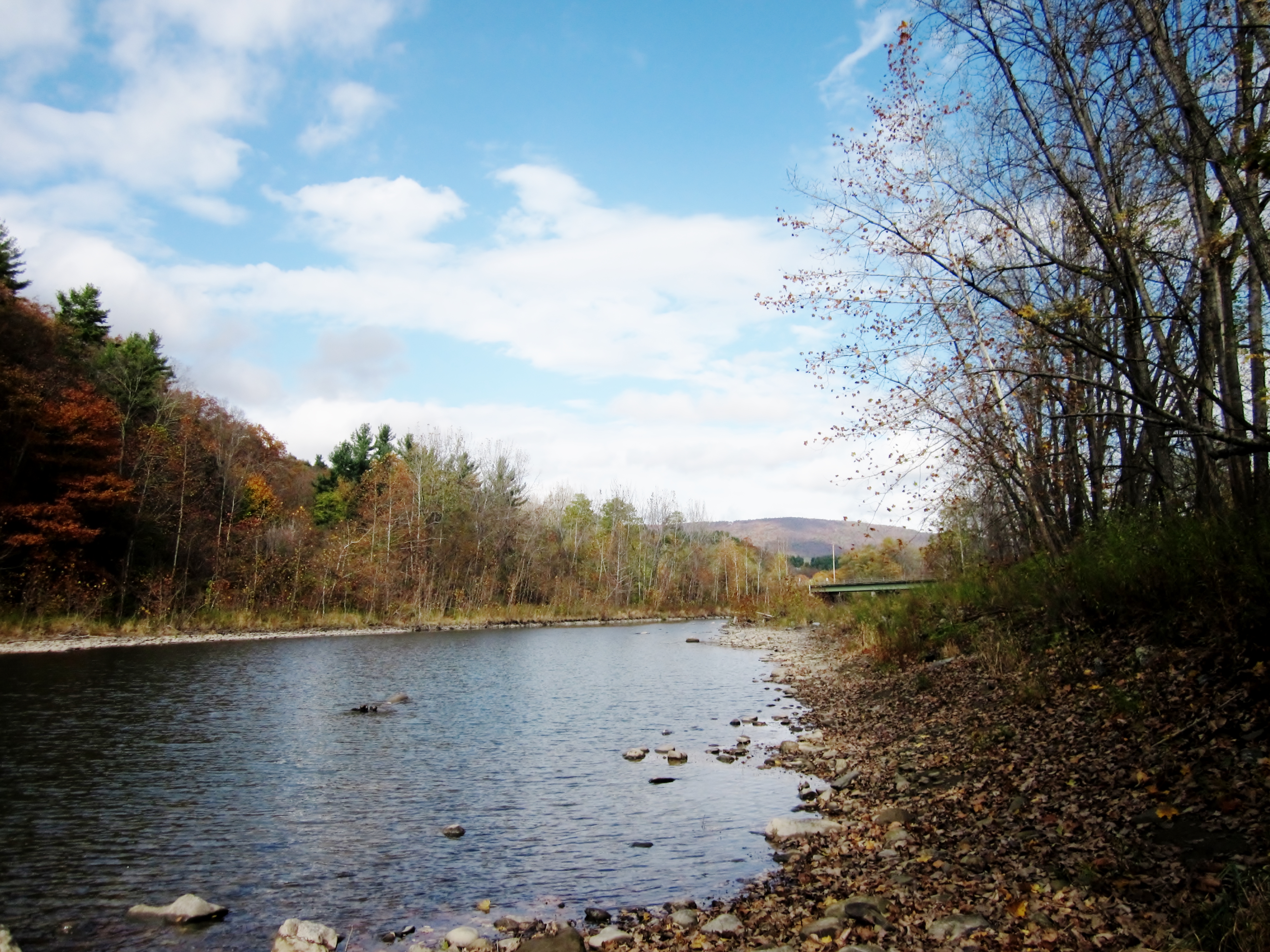
Minekill Bridge

Mount U Back

top o' the hill
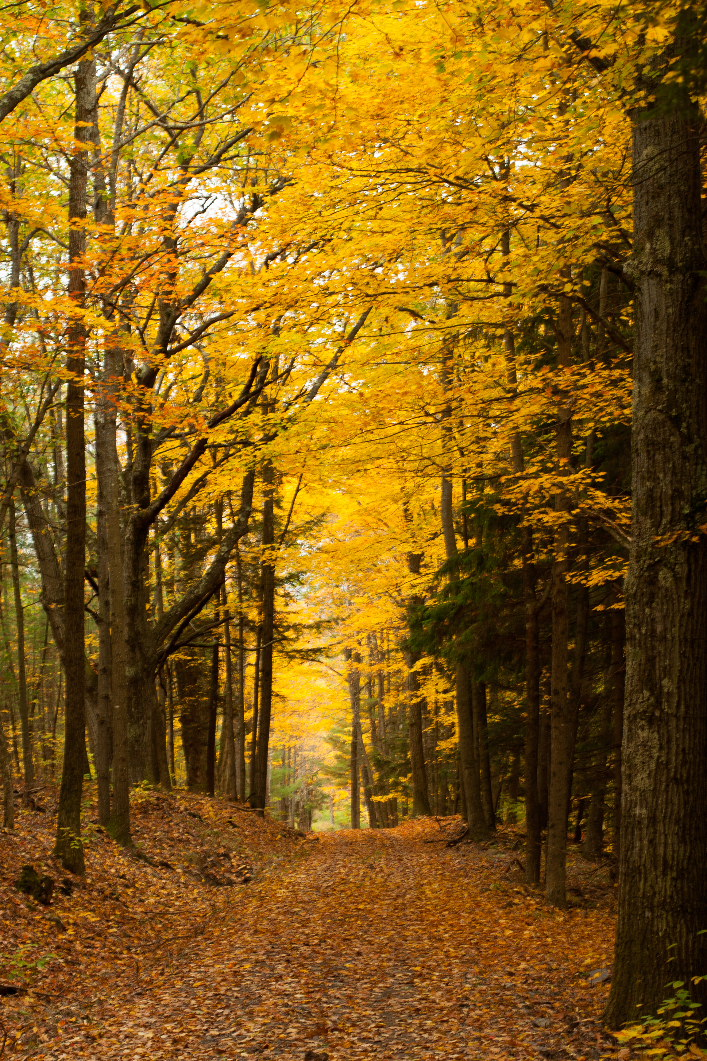
Golden path
Churchill Mountain and It's Col
Middleburgh, NY
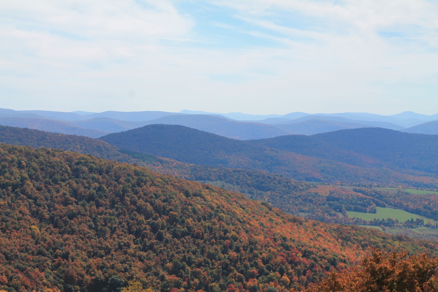
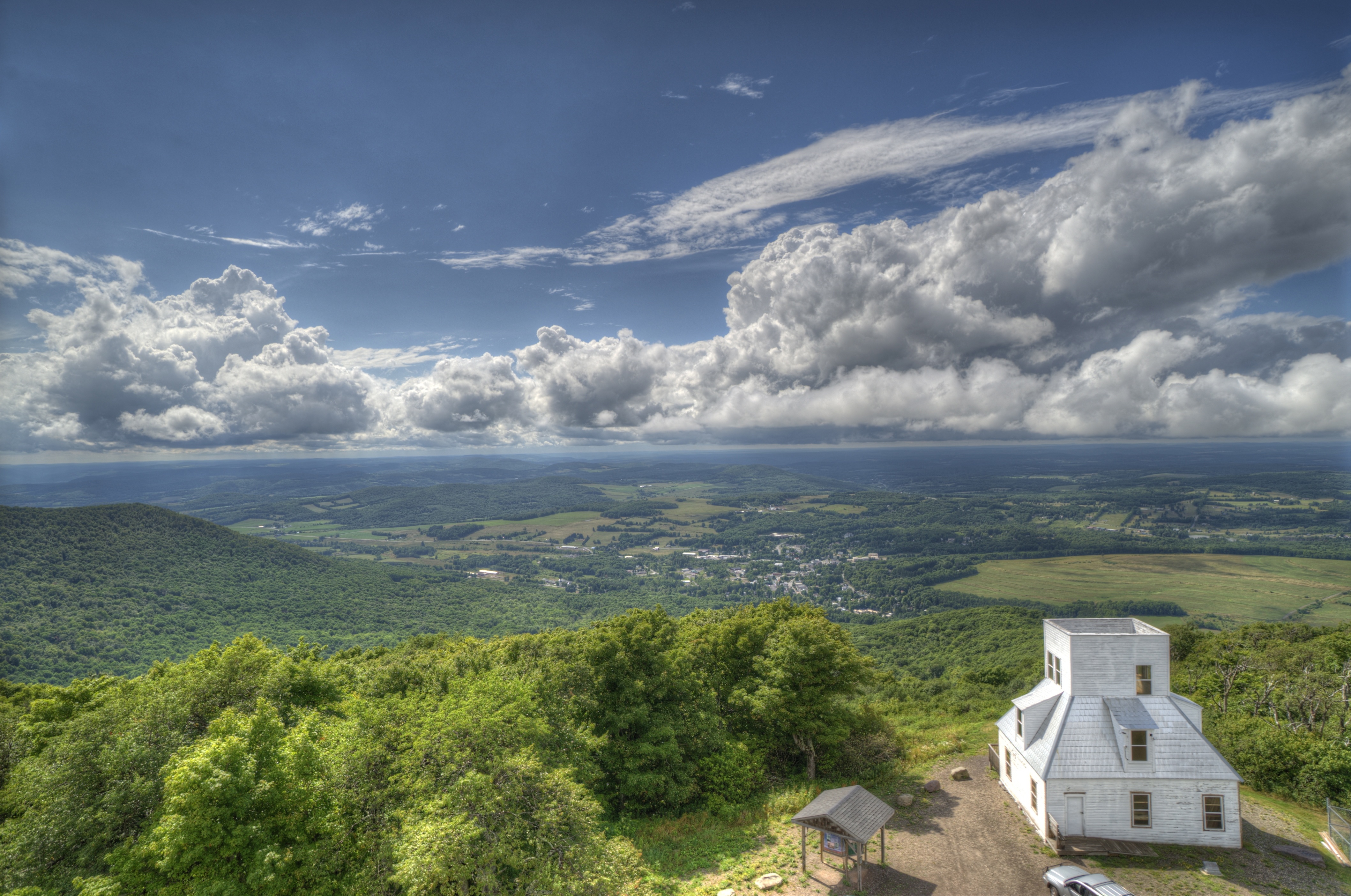
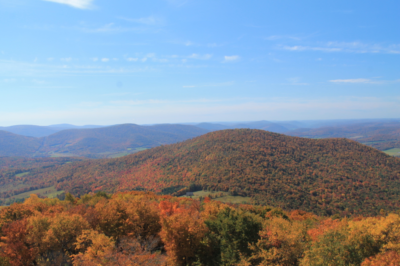
Catskill Mountains from the Firetower
Middleburgh,NY
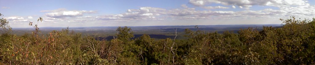
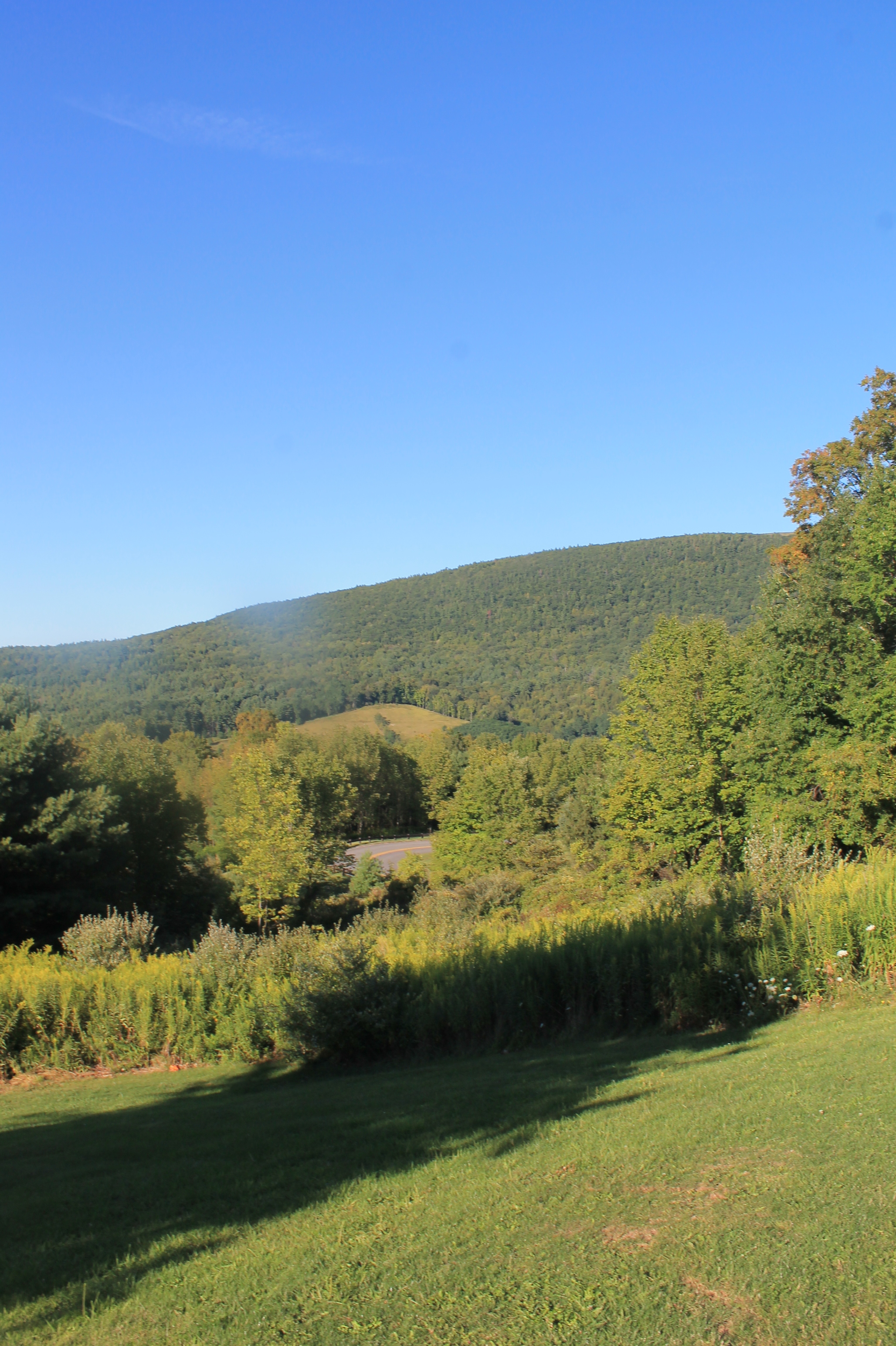
Looking into New York state

Mine Kill State Park

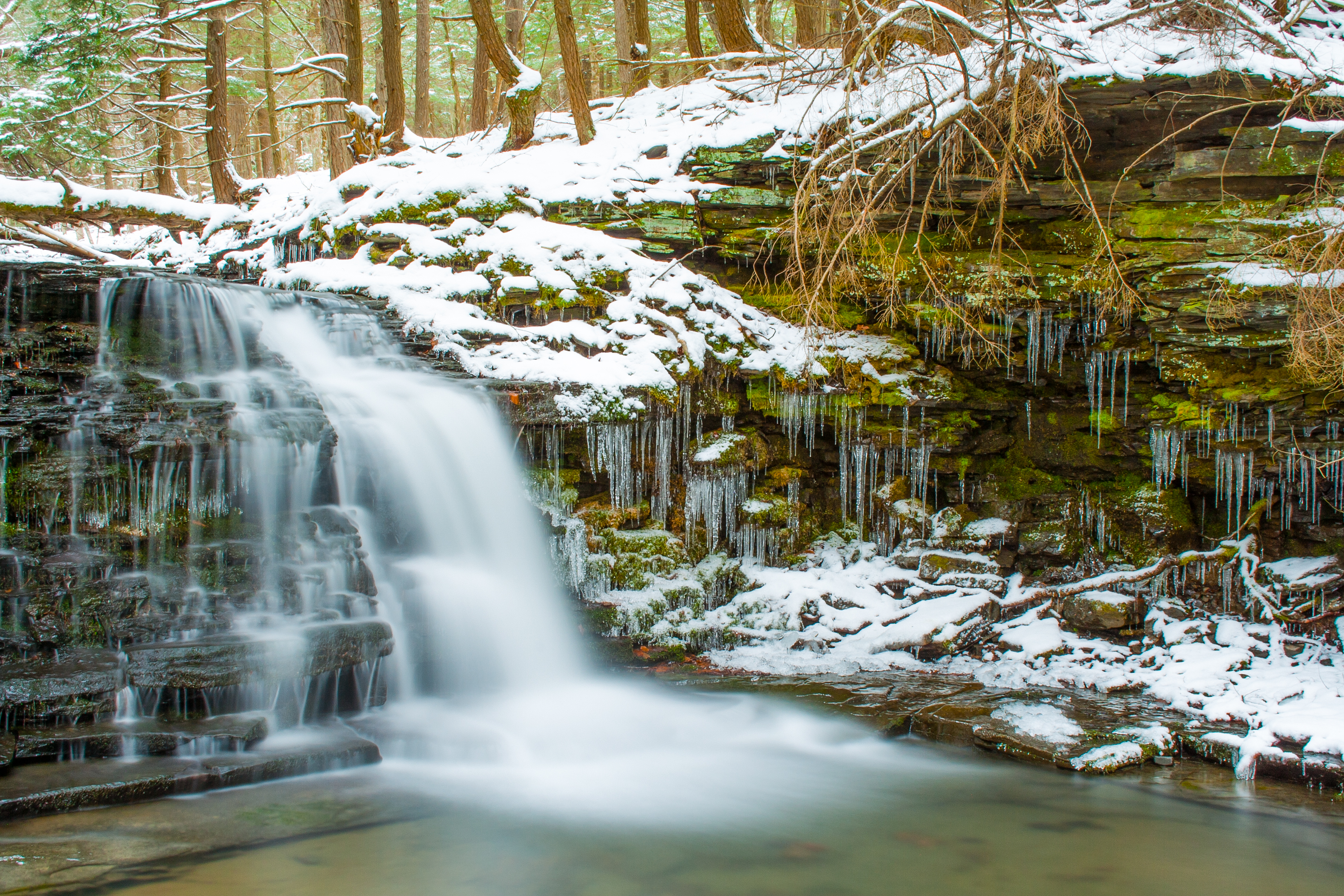
Stony Creek Waterfall

Some Color
IMG_2913B&W
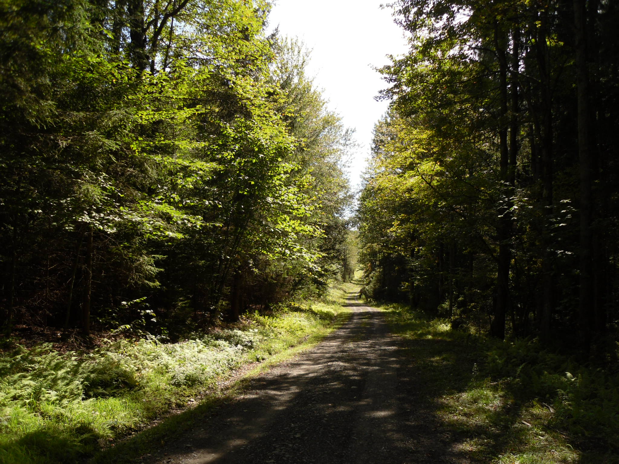
Clapper Hollow State Forest - New York
Topographic Map of Eminence Rd, Summit, NY, USA
Find elevation by address:

Places near Eminence Rd, Summit, NY, USA:
Summit
NY-10, Summit, NY, USA
Lakeside Drive
125 Lakeside Dr
210 Summit Lake Rd
154 Decker Rd
231 Bear Gulch Rd
Summit
Spruce Lake Road
1204 Charlotte Valley Rd
Mud Lake Road
Brooker Hollow Road
Brooker Hollow Road
Charlotte Valley Road
126 High St
310 Main St
Richmondville
953 Beards Hollow Rd
Brooker Hollow Road
624 Sisson Rd
Recent Searches:
- Elevation of Lampiasi St, Sarasota, FL, USA
- Elevation of Elwyn Dr, Roanoke Rapids, NC, USA
- Elevation of Congressional Dr, Stevensville, MD, USA
- Elevation of Bellview Rd, McLean, VA, USA
- Elevation of Stage Island Rd, Chatham, MA, USA
- Elevation of Shibuya Scramble Crossing, 21 Udagawacho, Shibuya City, Tokyo -, Japan
- Elevation of Jadagoniai, Kaunas District Municipality, Lithuania
- Elevation of Pagonija rock, Kranto 7-oji g. 8"N, Kaunas, Lithuania
- Elevation of Co Rd 87, Jamestown, CO, USA
- Elevation of Tenjo, Cundinamarca, Colombia