Elevation of Emerald Way, Huntsville, TX, USA
Location: United States > Texas > San Jacinto County >
Longitude: -95.251872
Latitude: 30.859585
Elevation: 50m / 164feet
Barometric Pressure: 101KPa
Elevation Map:
Satellite Map:
Related Photos:
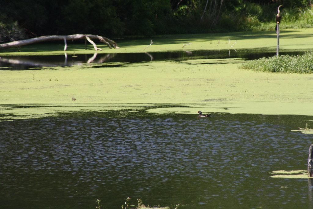
Surprise Duck

Bank Terrarium
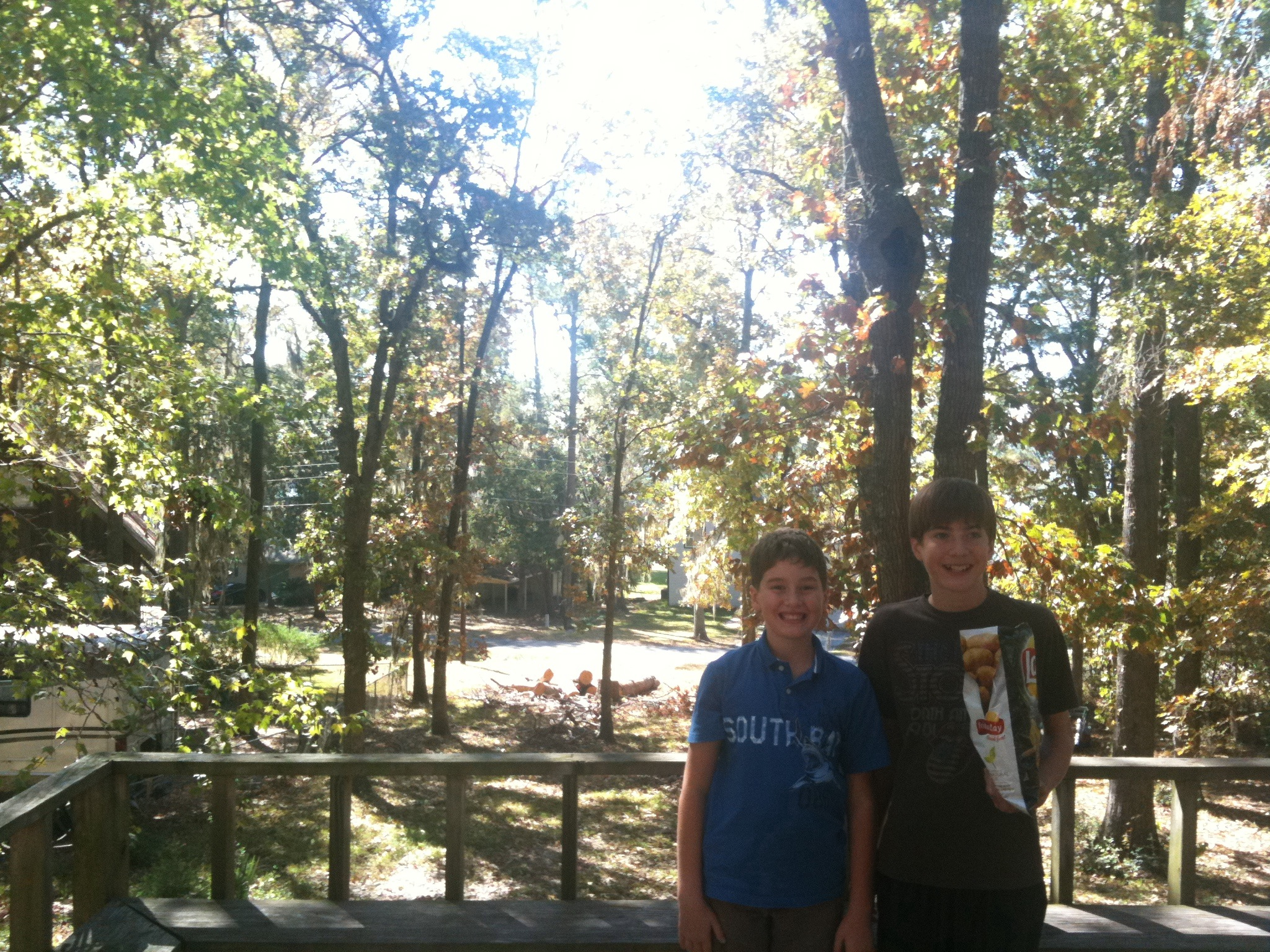
front view
SSR 013
Summer 07 022

Steel Tunnel
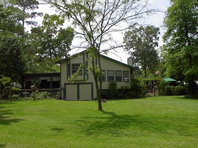
View from porch
Summer 07 023
SSR 012

Sunrise over Lake Livingston. Point Blank, Texas. 25 December 2014
Sebastopol, Texas
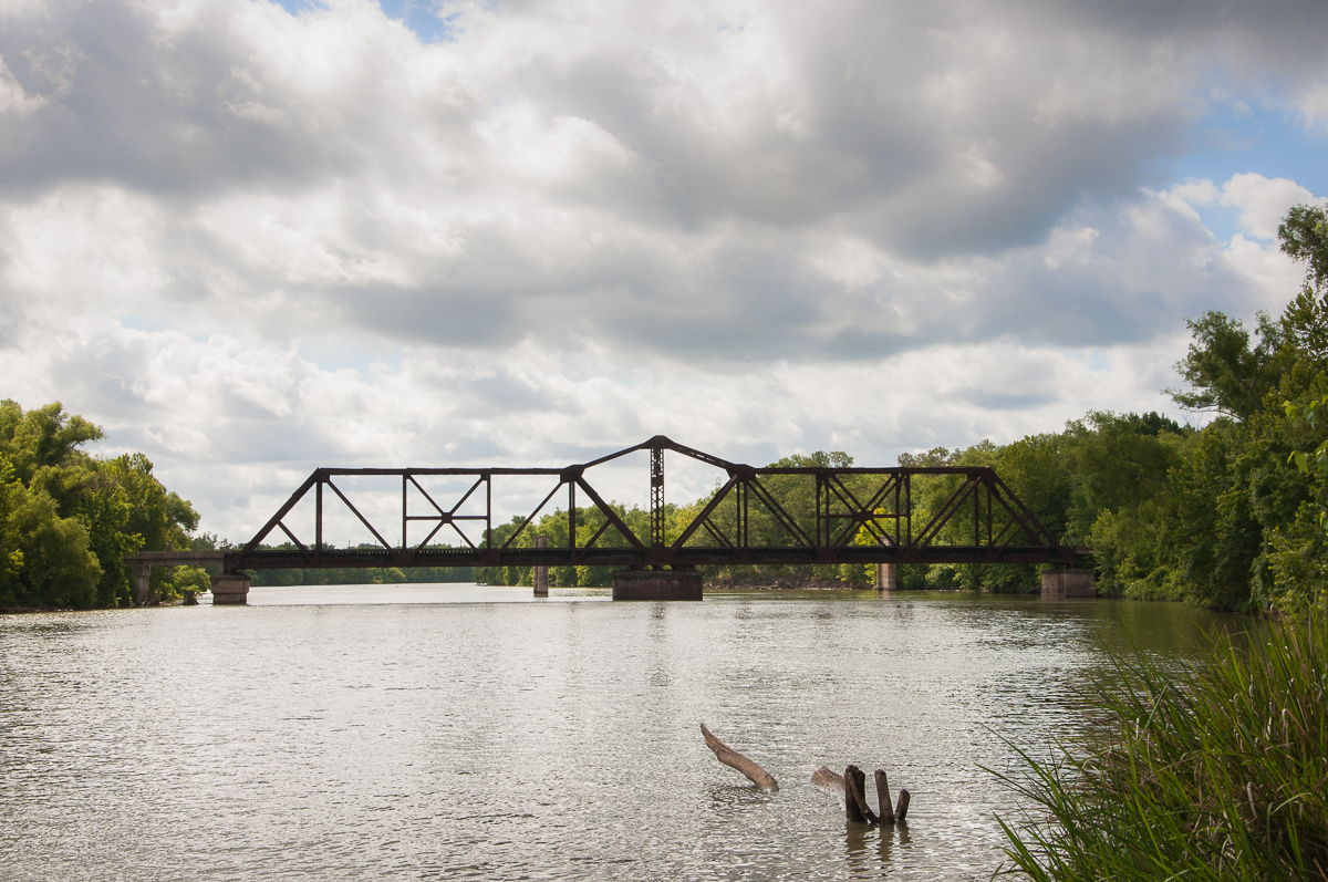
Railroad Swing Bridge

On the Water <3

Riverside, Tx 2

Riverside, TX

The Narrow Path

Old Bridge Supports, through Railroad Bridge over Trinity River, Riverside, Texas 1209081559BW

Sebastopol Texas
pc 4-19-2012 3-00-002
Last Import-27

pc 4-19-2012 3-00-004

pc 4-19-2012 3-00-005
Topographic Map of Emerald Way, Huntsville, TX, USA
Find elevation by address:

Places near Emerald Way, Huntsville, TX, USA:
Guy Ogden Rd, Trinity, TX, USA
477 Hackberry St
9 Mockingbird
Oakhurst
Onalaska
50 Lake Oaks Cir
154 Shady Dr
368 Holiday Ln
311 Holiday Ln
208 E Park Rd
157 Treasure Point
Harrell Cemetery Road
15 Treasure Point
251 Lakeview Shores Dr
86 Oak Hill Dr
298 Shoreline Dr
826 Fm3277
61 Chandler Ln
128 Crown Point
343 Harden Rd
Recent Searches:
- Elevation of Eldorado do Sul - RS, Brazil
- Elevation of Eldorado do Sul - Parque Eldorado, Eldorado do Sul - RS, -, Brazil
- Elevation of 35 Governors Ln, Hilton Head Island, SC, USA
- Elevation of Orangevale, CA, USA
- Elevation of Doe Cir, Clinton, OH, USA
- Elevation of Narhe, Pune, Maharashtra, India
- Elevation of Martins Mill Ct, Eagle Rock, NC, USA
- Elevation of Kippen, Stirling FK8, UK
- Elevation of Sieveringer Straße, Sieveringer Str., Wien, Austria
- Elevation of Bratskaya Ulitsa, 24, Kurgan, Kurganskaya oblast', Russia