Elevation of Emerald Springs Trail, Hyden, KY, USA
Location: United States > Kentucky > Leslie County > Hyden >
Longitude: -83.362247
Latitude: 37.2456258
Elevation: 363m / 1191feet
Barometric Pressure: 97KPa
Elevation Map:
Satellite Map:
Related Photos:

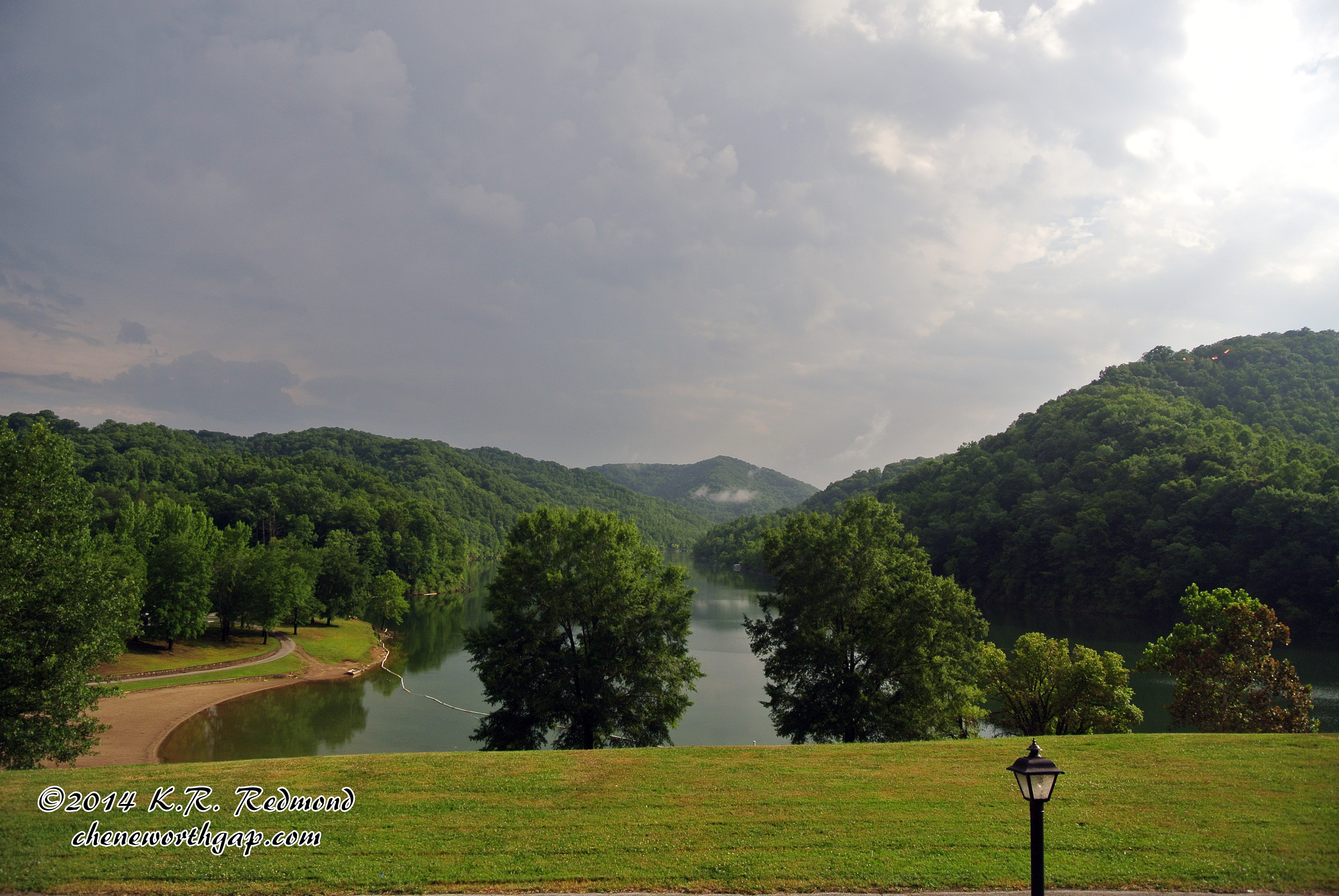
Buckhorn Lake

Swinging bridge @ Haxard. KY (1986)

Evening View

Evening at the Pool
View from the Dining Room

View from the Dining Room

View from the Balcony

View from the Lodge

Late Evening

View from the Balcony

The Pool is Deserted

View from the Balcony

View from the Balcony

Hazard Village Shopping Center 1990

Volunteer Photos- Mandy (Week 5) (65)

The Upstream Face

Volunteer Photos- Mandy (Week 5) (110)

Mountain Mists
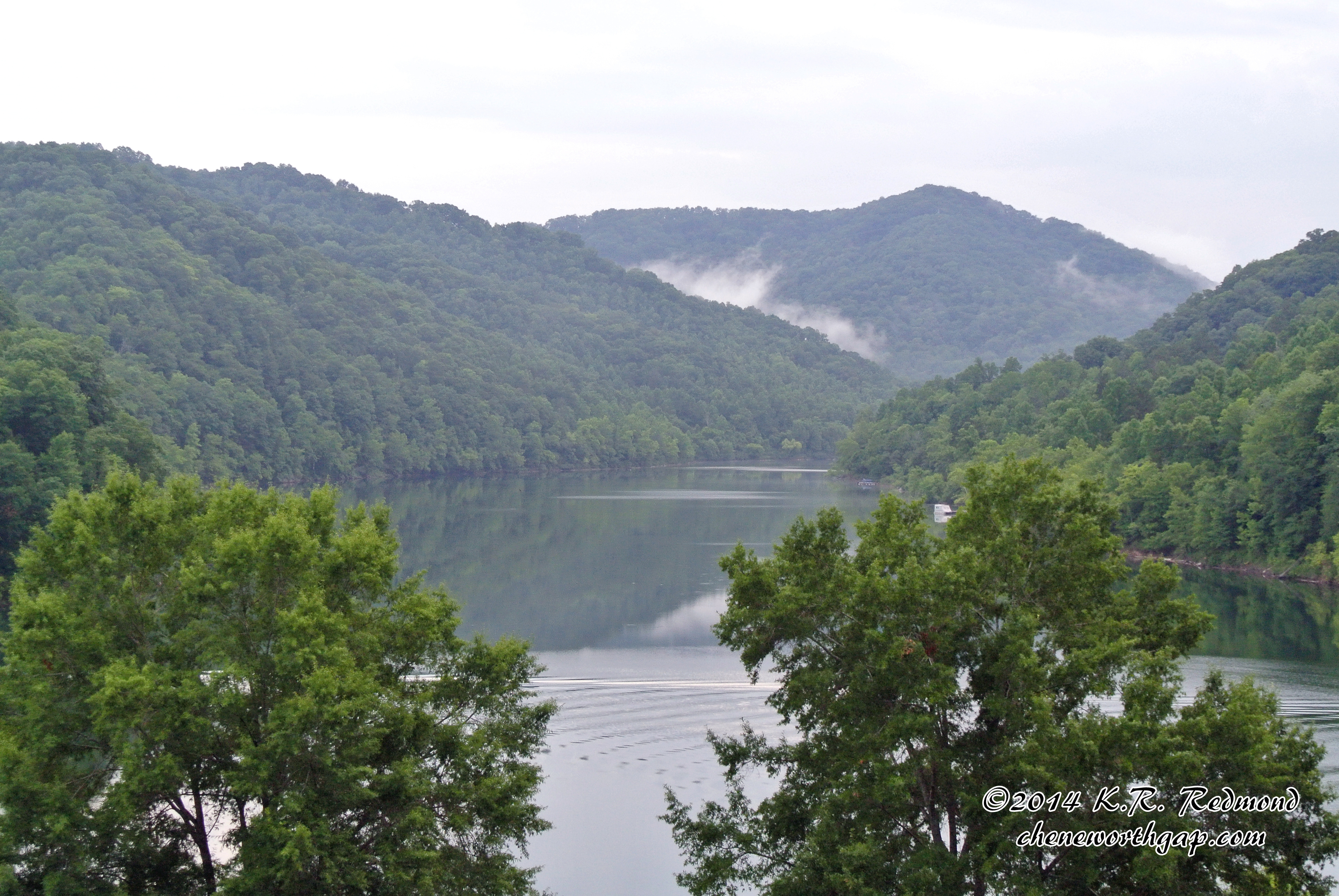
Mists After the Storm

Downstream Face of Buckhorn Dam

Buckhorn Lake

Early Morning Scene

Sunset at the Public Beach

The Storm-Emptied Pool

Evening at the Pool

Wednesday Morning

BLUEGRASS TRIP 08.06.2005 013
Topographic Map of Emerald Springs Trail, Hyden, KY, USA
Find elevation by address:

Places near Emerald Springs Trail, Hyden, KY, USA:
81 Krypton-Napfor Rd, Krypton, KY, USA
Krypton
Willard Elementary School
Busy
421 S Nc
Hyden
Red Bird Rd, Thousandsticks, KY, USA
Rainbow Drive
3265 Wooton Rd
Clear Fork Branch, Hazard, KY, USA
Little Grapevine Creek Road
Buckhorn
Stinnett
KY-, Hazard, KY, USA
Hazard
Perry County
Riverview Dr, Hazard, KY, USA
Cr-1373
Leslie County
Kentucky 476
Recent Searches:
- Elevation of Groblershoop, South Africa
- Elevation of Power Generation Enterprises | Industrial Diesel Generators, Oak Ave, Canyon Country, CA, USA
- Elevation of Chesaw Rd, Oroville, WA, USA
- Elevation of N, Mt Pleasant, UT, USA
- Elevation of 6 Rue Jules Ferry, Beausoleil, France
- Elevation of Sattva Horizon, 4JC6+G9P, Vinayak Nagar, Kattigenahalli, Bengaluru, Karnataka, India
- Elevation of Great Brook Sports, Gold Star Hwy, Groton, CT, USA
- Elevation of 10 Mountain Laurels Dr, Nashua, NH, USA
- Elevation of 16 Gilboa Ln, Nashua, NH, USA
- Elevation of Laurel Rd, Townsend, TN, USA