Elevation of Elmburg Rd, Pleasureville, KY, USA
Location: United States > Kentucky > Shelby County > Pleasureville >
Longitude: -85.070304
Latitude: 38.3203021
Elevation: 266m / 873feet
Barometric Pressure: 98KPa
Elevation Map:
Satellite Map:
Related Photos:

Dutch Tract Cemetery, Pleasureville
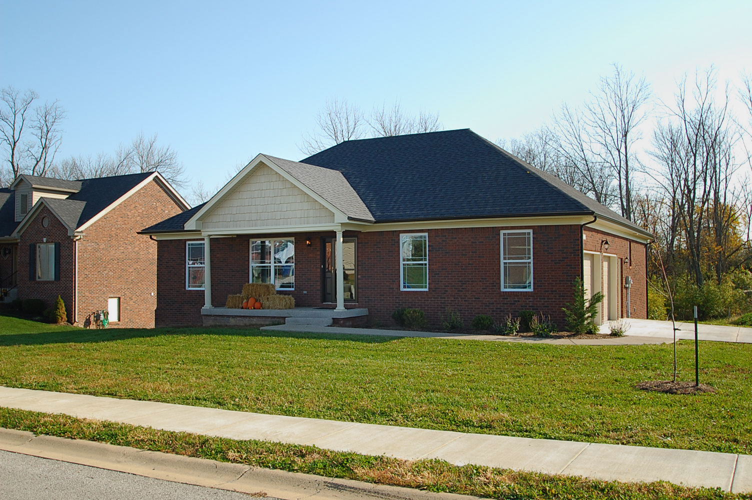
Front View

20110807-14

Bagdad Train

20110807-17

20110807-13
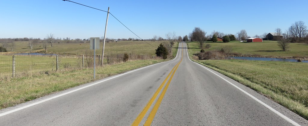
Northern Kentucky Landscape (Henry County, Kentucky)
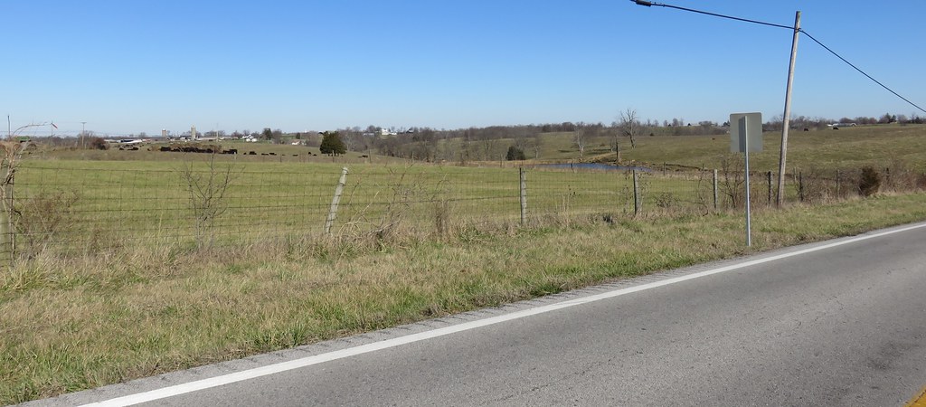
Northern Kentucky Landscape (Henry County, Kentucky)

20140815-IMG_3623.jpg

20140815-IMG_3622.jpg

20140815-IMG_3621.jpg

20140815-IMG_3616.jpg

20140815-IMG_3607.jpg

Hike with the kids
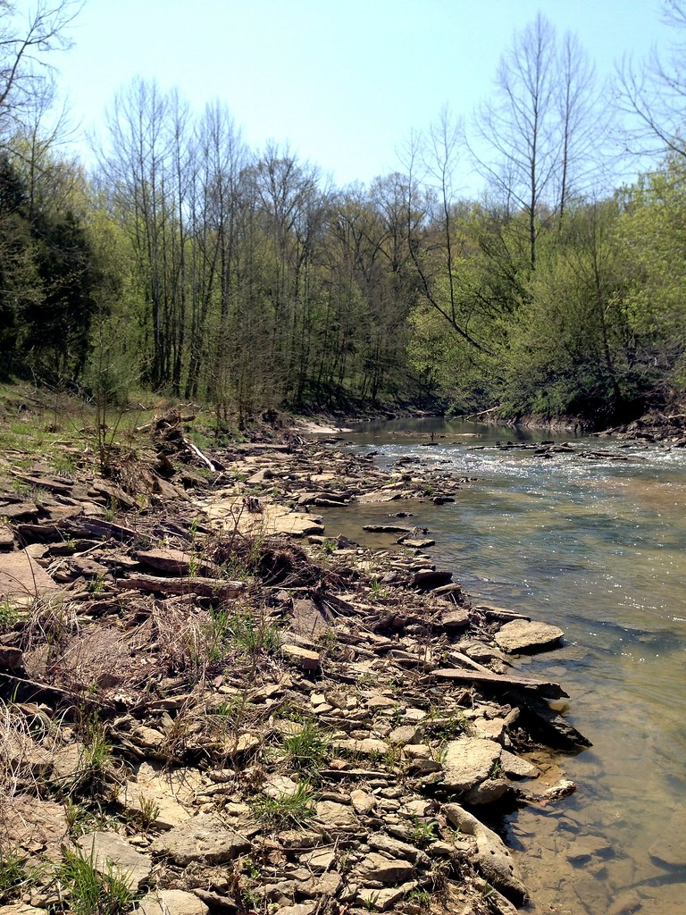
Hike with the kids

Hike with the kids
Topographic Map of Elmburg Rd, Pleasureville, KY, USA
Find elevation by address:

Places near Elmburg Rd, Pleasureville, KY, USA:
Bagdad
Vigo Rd, Bagdad, KY, USA
Waddy Road & Bardstown Trail
Franklin County
Onan Bend Road
Bridgeport Rd, Frankfort, KY, USA
KY-, Frankfort, KY, USA
Louisville Rd, Frankfort, KY, USA
250 Hollyberry Drive
212 Tinderwood Dr
730 Cline St
103 Pinnacle Ct
506 W 2nd St
Saint Clair Street
Mero Street
315 Ewing St
Bridge Street
Frankfort
112 Leonardwood Dr
Frankfort, KY, USA
Recent Searches:
- Elevation of Corso Fratelli Cairoli, 35, Macerata MC, Italy
- Elevation of Tallevast Rd, Sarasota, FL, USA
- Elevation of 4th St E, Sonoma, CA, USA
- Elevation of Black Hollow Rd, Pennsdale, PA, USA
- Elevation of Oakland Ave, Williamsport, PA, USA
- Elevation of Pedrógão Grande, Portugal
- Elevation of Klee Dr, Martinsburg, WV, USA
- Elevation of Via Roma, Pieranica CR, Italy
- Elevation of Tavkvetili Mountain, Georgia
- Elevation of Hartfords Bluff Cir, Mt Pleasant, SC, USA