Elevation of Ellsworth Township, OH, USA
Location: United States > Ohio > Mahoning County >
Longitude: -80.876520
Latitude: 41.0196245
Elevation: 340m / 1115feet
Barometric Pressure: 97KPa
Elevation Map:
Satellite Map:
Related Photos:

Soaring Young Osprey

Osprey on the defense

Crybaby Bridge Truss

Crybaby Bridge
Cessna-310_crash_Sept-1-1994_0010
2011-05-06 12.01.28

Cessna-310_crash_Sept-1-1994_0022
2011-05-06 12.00.36

detail sideview 1955 Scott Atwater 3.6
2011-05-06 12.01.40
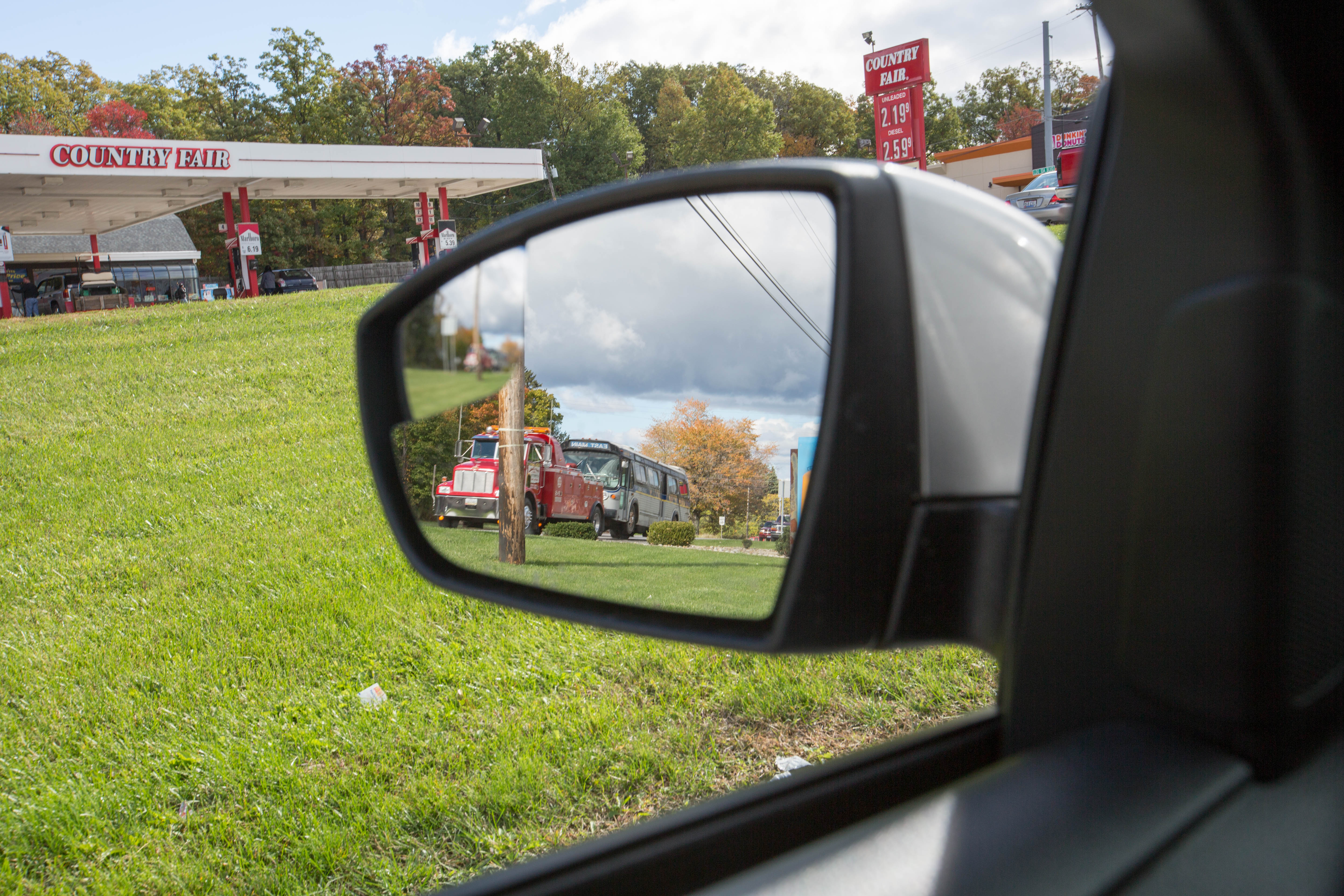
In the rear view mirror
Fredricksburg Ohio

Lake House
CRAIG BEACH (2)

Sunset at Lake Milton with my little bird.....Perfect!!

CRAIG BEACH (1)

A Fall Trail

Gone Fishin'
B and Smokin
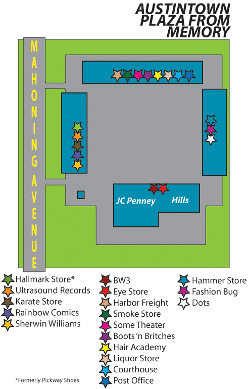
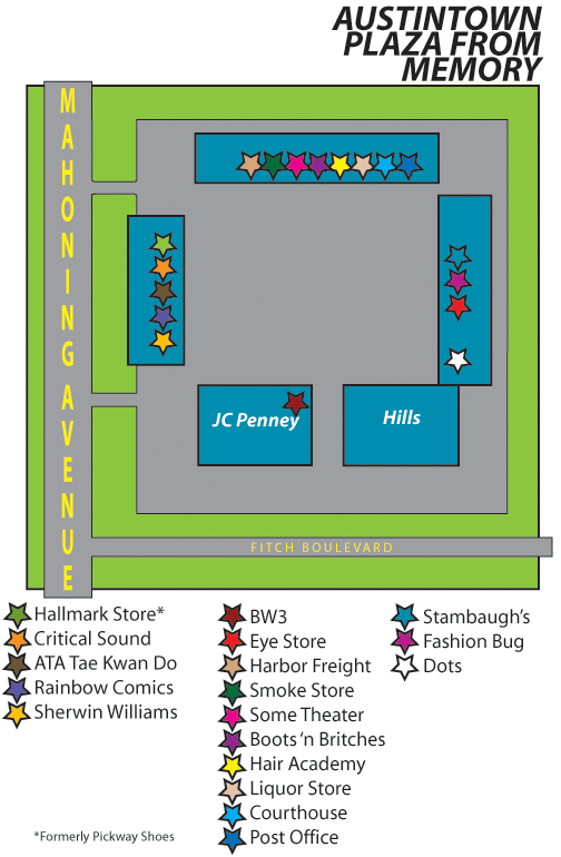
Austintown Plaza from memory, three

My First HDR attempt
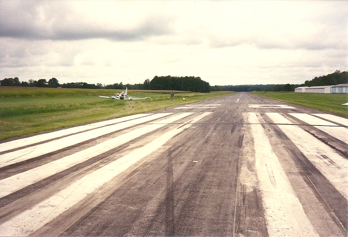
Cessna-310_crash_Sept-1-1994_0004

Meander Creek in Spring
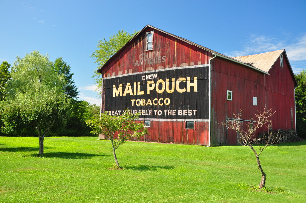
Mail Pouch

Berlin Lake - Deerfield, Ohio

A Wild Rabit

After the Harvest

Hey, what do you got in that barn?
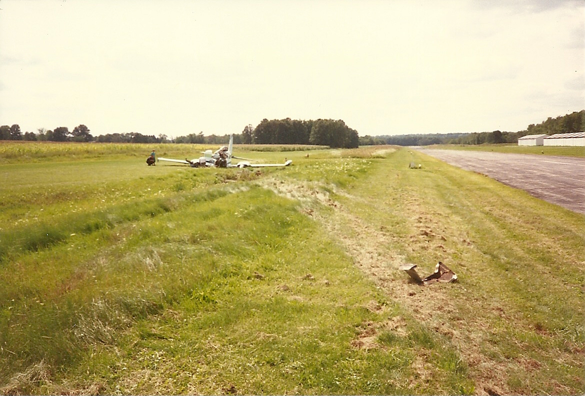
Cessna-310_crash_Sept-1-1994_0018
Austintown Plaza from memory, six
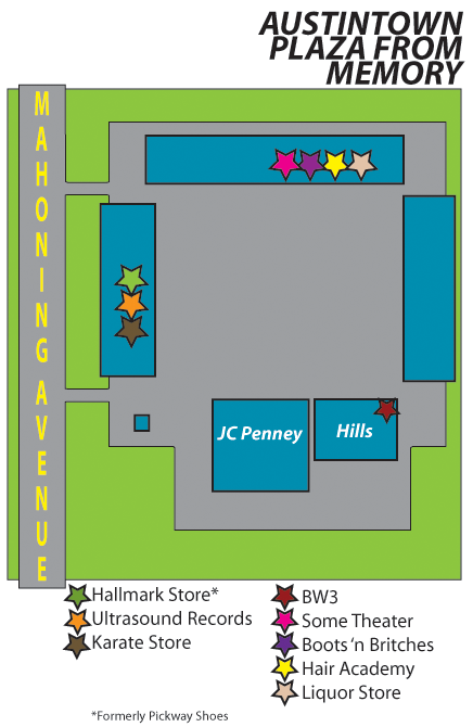
Austintown Plaza from memory, two
Lake Milton
Topographic Map of Ellsworth Township, OH, USA
Find elevation by address:

Places in Ellsworth Township, OH, USA:
Places near Ellsworth Township, OH, USA:
13560 Berlin Station Rd
N Palmyra Rd, North Jackson, OH, USA
S Duck Creek Rd, Salem, OH, USA
9595 Seacrist Rd
9595 Seacrist Rd
Berlin Center
354 Rosemont Rd
12080 Debartolo Dr
10257 Seacrist Rd
Jackson Township
13440 Mahoning Ave
Berlin Center
North Jackson
3489 Holliday Dr
17287 W Akron-canfield Rd
Lake Milton
Milton Ave, Lake Milton, OH, USA
Milton
16930 Overlook Way
18180 Mill Rd
Recent Searches:
- Elevation of Corso Fratelli Cairoli, 35, Macerata MC, Italy
- Elevation of Tallevast Rd, Sarasota, FL, USA
- Elevation of 4th St E, Sonoma, CA, USA
- Elevation of Black Hollow Rd, Pennsdale, PA, USA
- Elevation of Oakland Ave, Williamsport, PA, USA
- Elevation of Pedrógão Grande, Portugal
- Elevation of Klee Dr, Martinsburg, WV, USA
- Elevation of Via Roma, Pieranica CR, Italy
- Elevation of Tavkvetili Mountain, Georgia
- Elevation of Hartfords Bluff Cir, Mt Pleasant, SC, USA