Elevation of Ellery Creek Campground, Lakehead, CA, United States
Location: United States > California > Shasta County > Lakehead >
Longitude: -122.24195
Latitude: 40.9157072
Elevation: 389m / 1276feet
Barometric Pressure: 97KPa
Elevation Map:
Satellite Map:
Related Photos:
Lakehead-Lakeshore, California, USA
IMG_5024.JPG
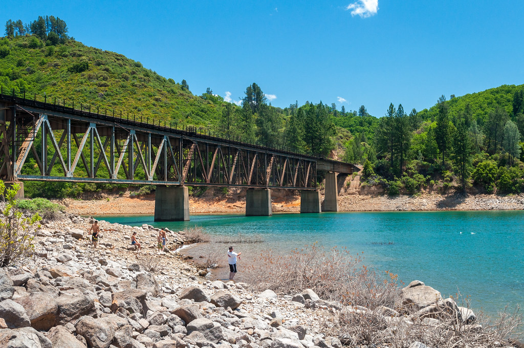
Lake Shasta
View at O'Brien Creek Inlet

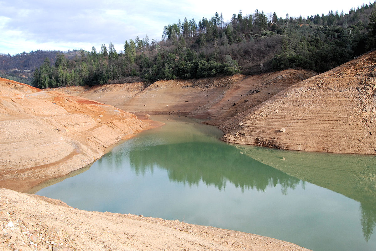
20090711 152139-16,765-10x16
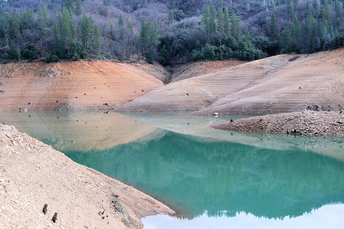
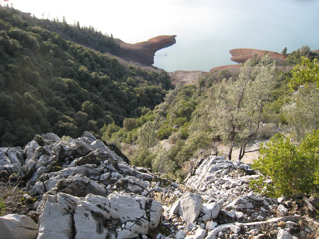
View at O'Brien Creek Inlet
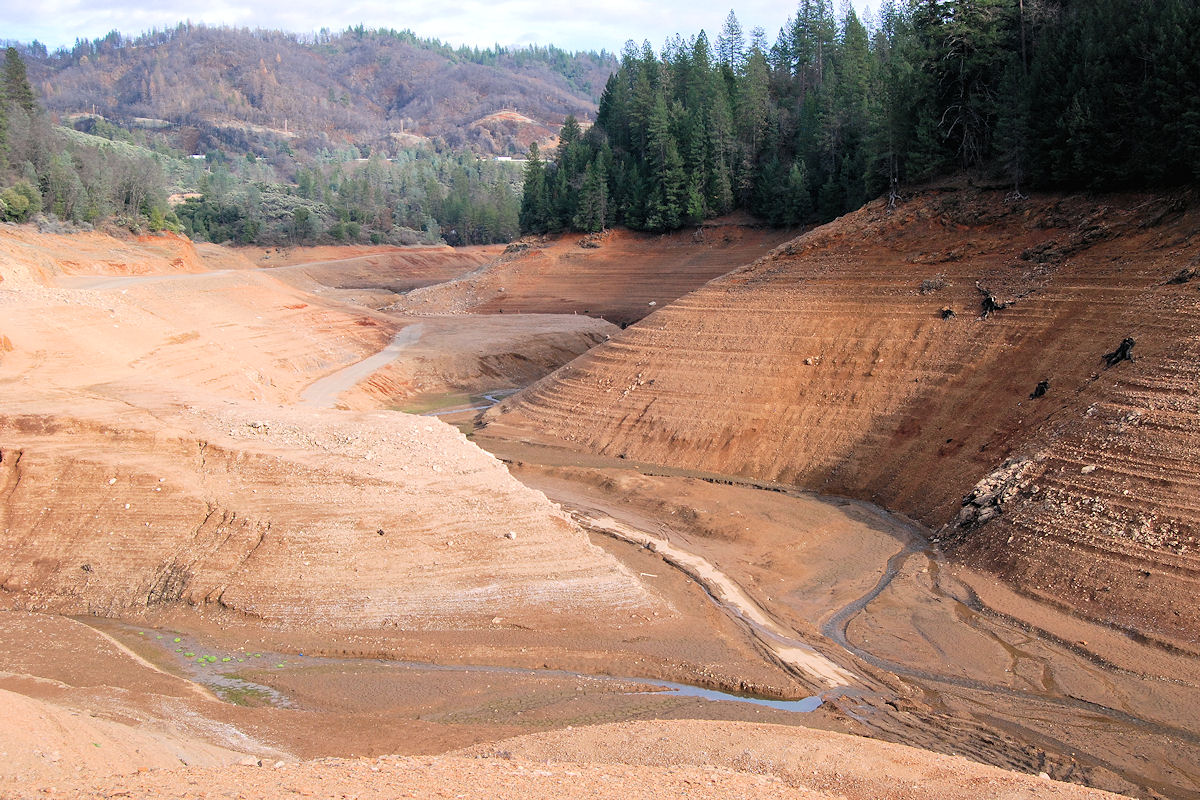
View at O'Brien Creek Inlet
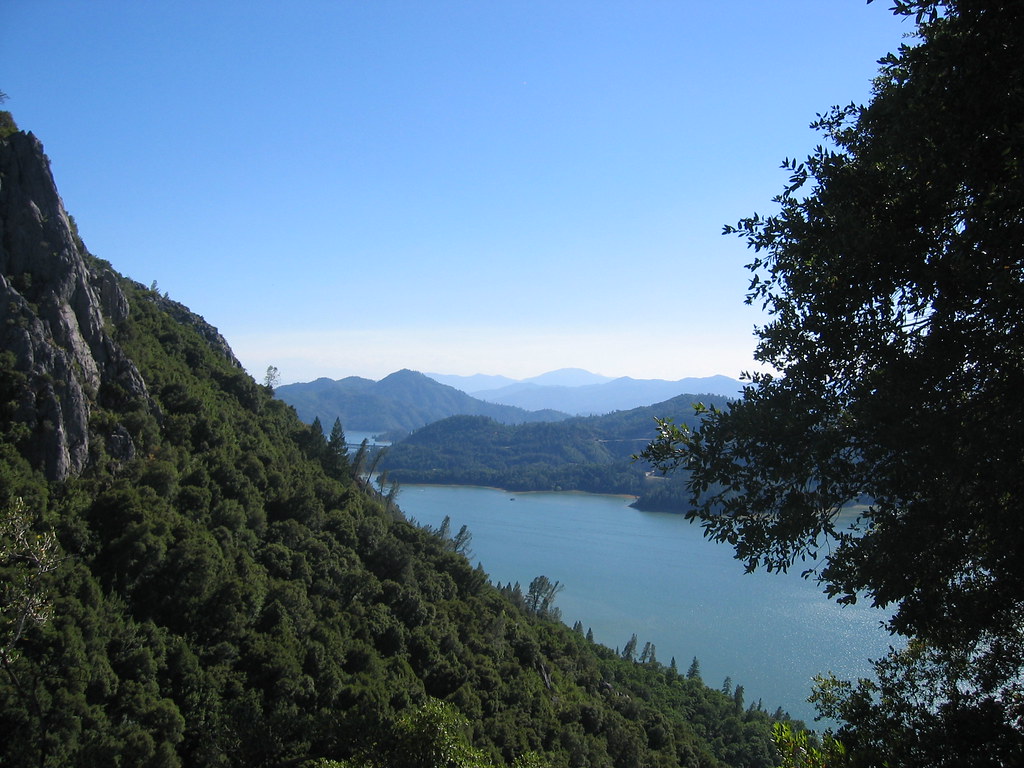
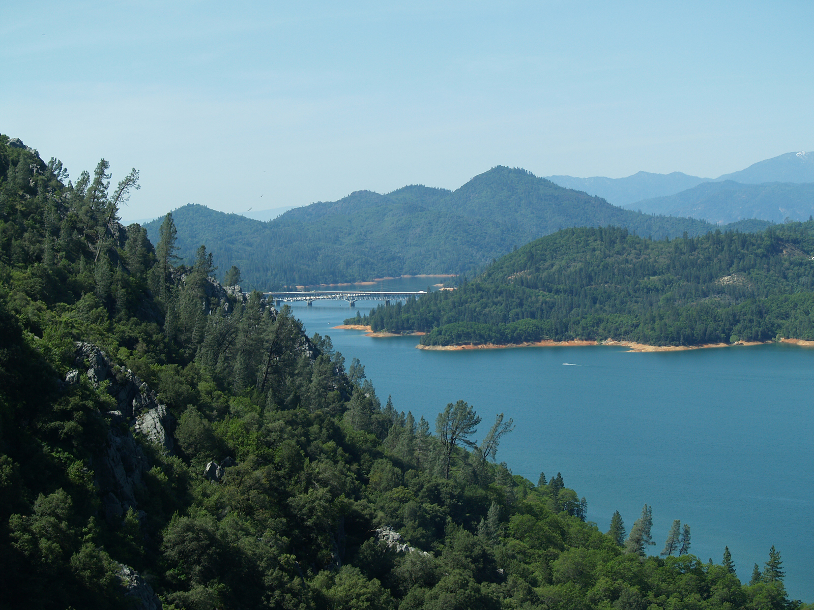
View from the Top
Topographic Map of Ellery Creek Campground, Lakehead, CA, United States
Find elevation by address:

Places near Ellery Creek Campground, Lakehead, CA, United States:
20850 Gilman Rd
20500 Joongshee Way
20855 Waterman Rd
20749 Waterman Rd
19679 Fall Creek Rd
Fall Creek Road
19823 Gilman Rd
Redding, CA, USA
Shasta Caverns Rd, O'Brien, CA, USA
O'brien
19582 Fawn Rd
18206 O'brien Mountain Rd
Interstate 5
Castella
Castle Crags State Park
Soda Creek Rd, Castella, CA, USA
30765 Crag View Dr
Bush St, Dunsmuir, CA, USA
Dunsmuir
5407 Dunsmuir Ave
Recent Searches:
- Elevation of Corso Fratelli Cairoli, 35, Macerata MC, Italy
- Elevation of Tallevast Rd, Sarasota, FL, USA
- Elevation of 4th St E, Sonoma, CA, USA
- Elevation of Black Hollow Rd, Pennsdale, PA, USA
- Elevation of Oakland Ave, Williamsport, PA, USA
- Elevation of Pedrógão Grande, Portugal
- Elevation of Klee Dr, Martinsburg, WV, USA
- Elevation of Via Roma, Pieranica CR, Italy
- Elevation of Tavkvetili Mountain, Georgia
- Elevation of Hartfords Bluff Cir, Mt Pleasant, SC, USA