Elevation of Ellenton Omega Rd, Omega, GA, USA
Location: United States > Georgia > Tift County > Omega >
Longitude: -83.569833
Latitude: 31.2629232
Elevation: -10000m / -32808feet
Barometric Pressure: 295KPa
Elevation Map:
Satellite Map:
Related Photos:

Lesser Scaup

rbsp fall fishing

Little River Trail

Cinnamon Fern

The significance of this is there are gopher tortoise burrows out there. One gopher is just a juvenile. Reed Bingham State Park, Georgia

rbsp golden time through spanish moss

Reed Bingham State Park Beach

Reed Bingham Lake, 3 fishing poles
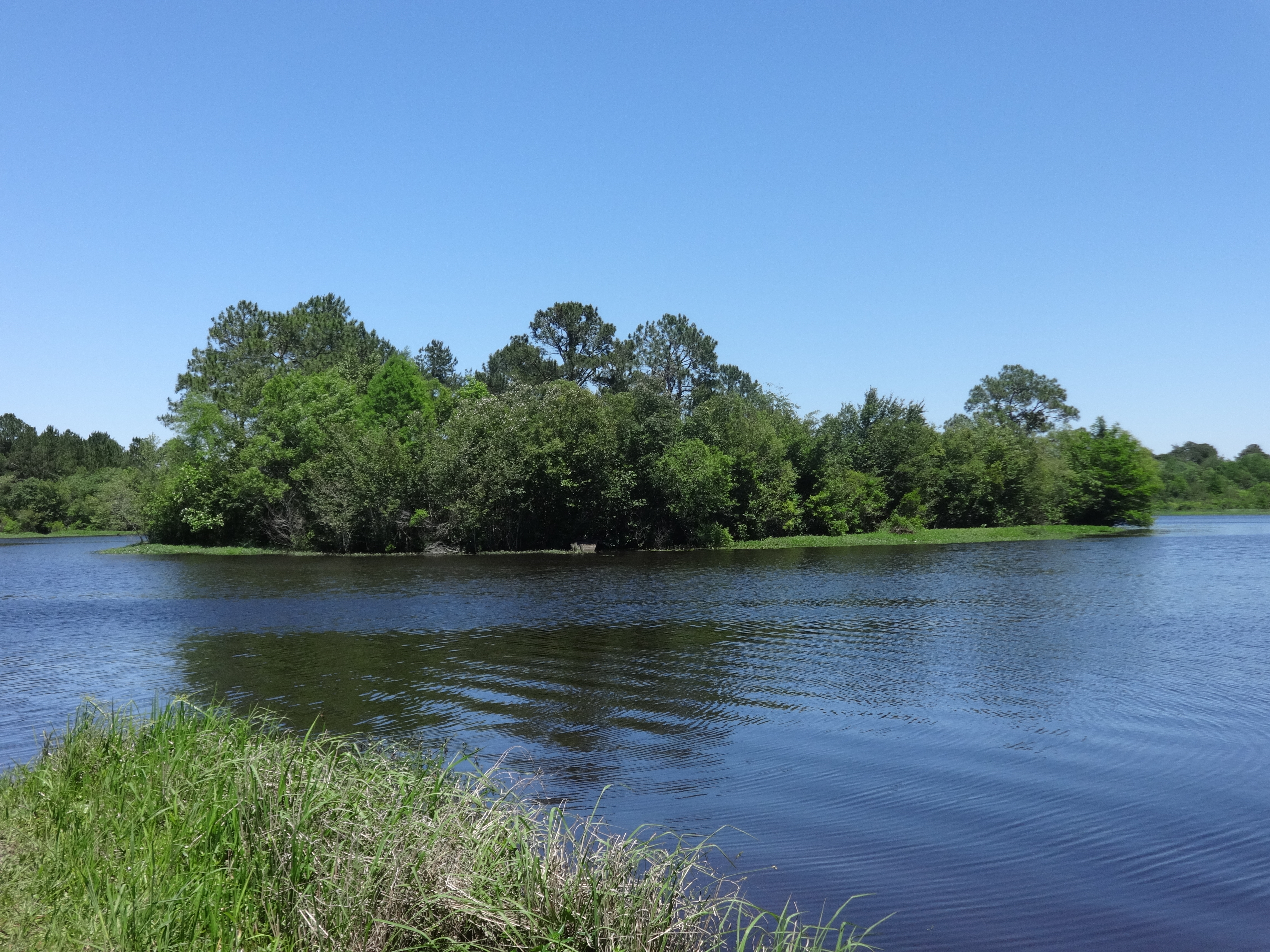
Reed Bingham Lake and island

Reed Bingham State Park bridge and lake

Reed Bingham State Park beach pavilion and beach

Looking East across Reed Bingham State Park dam

Reed Bingham Lake 1
Topographic Map of Ellenton Omega Rd, Omega, GA, USA
Find elevation by address:

Places near Ellenton Omega Rd, Omega, GA, USA:
Flatford Rd, Sparks, GA, USA
Alabama Ave, Omega, GA, USA
Omega
Staunton Cemetary Rd, Lenox, GA, USA
Lenox
Reed Bingham State Park
Reed Bingham Road
Wagon Wheel Rd, Sparks, GA, USA
U.s. 319
228 Mitchell Store Rd
Norman Park
4220 Us-41
U.S. 41 S, Tifton, GA, USA
US-41, Sparks, GA, USA
901 Strickland Rd
U.S. 41 S, Tifton, GA, USA
Tift County
Cook County
397 Lindsey-goff Rd
Sparks
Recent Searches:
- Elevation of Congressional Dr, Stevensville, MD, USA
- Elevation of Bellview Rd, McLean, VA, USA
- Elevation of Stage Island Rd, Chatham, MA, USA
- Elevation of Shibuya Scramble Crossing, 21 Udagawacho, Shibuya City, Tokyo -, Japan
- Elevation of Jadagoniai, Kaunas District Municipality, Lithuania
- Elevation of Pagonija rock, Kranto 7-oji g. 8"N, Kaunas, Lithuania
- Elevation of Co Rd 87, Jamestown, CO, USA
- Elevation of Tenjo, Cundinamarca, Colombia
- Elevation of Côte-des-Neiges, Montreal, QC H4A 3J6, Canada
- Elevation of Bobcat Dr, Helena, MT, USA