Elevation of Elkton, AB T0M 0R0, Canada
Location: Canada > Alberta > Division No. 6 > Mountain View County >
Longitude: -114.52143
Latitude: 51.6492999
Elevation: 1121m / 3678feet
Barometric Pressure: 89KPa
Elevation Map:
Satellite Map:
Related Photos:

Rainbow Below

Lone House Sunset
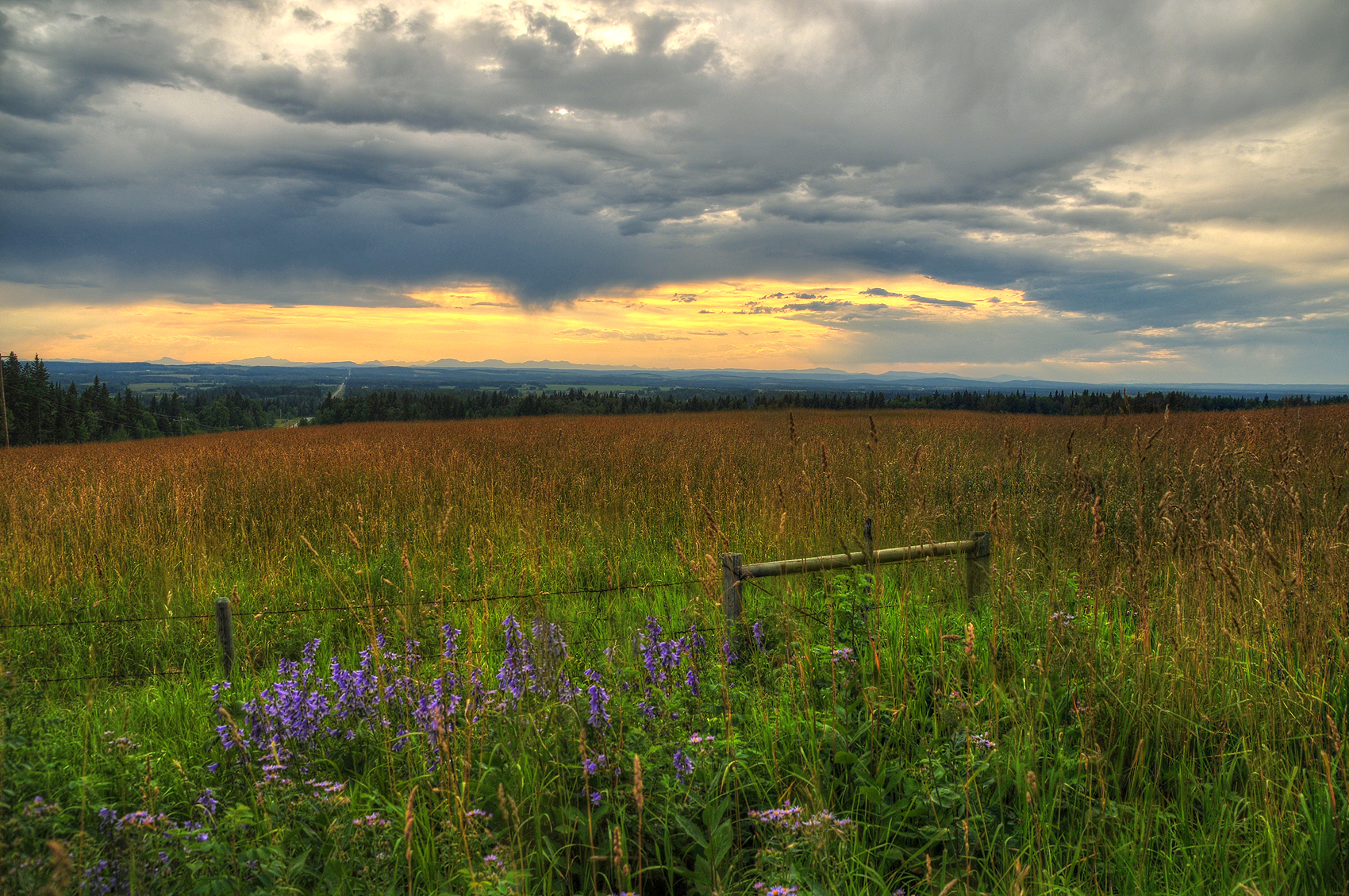
Splash of purple
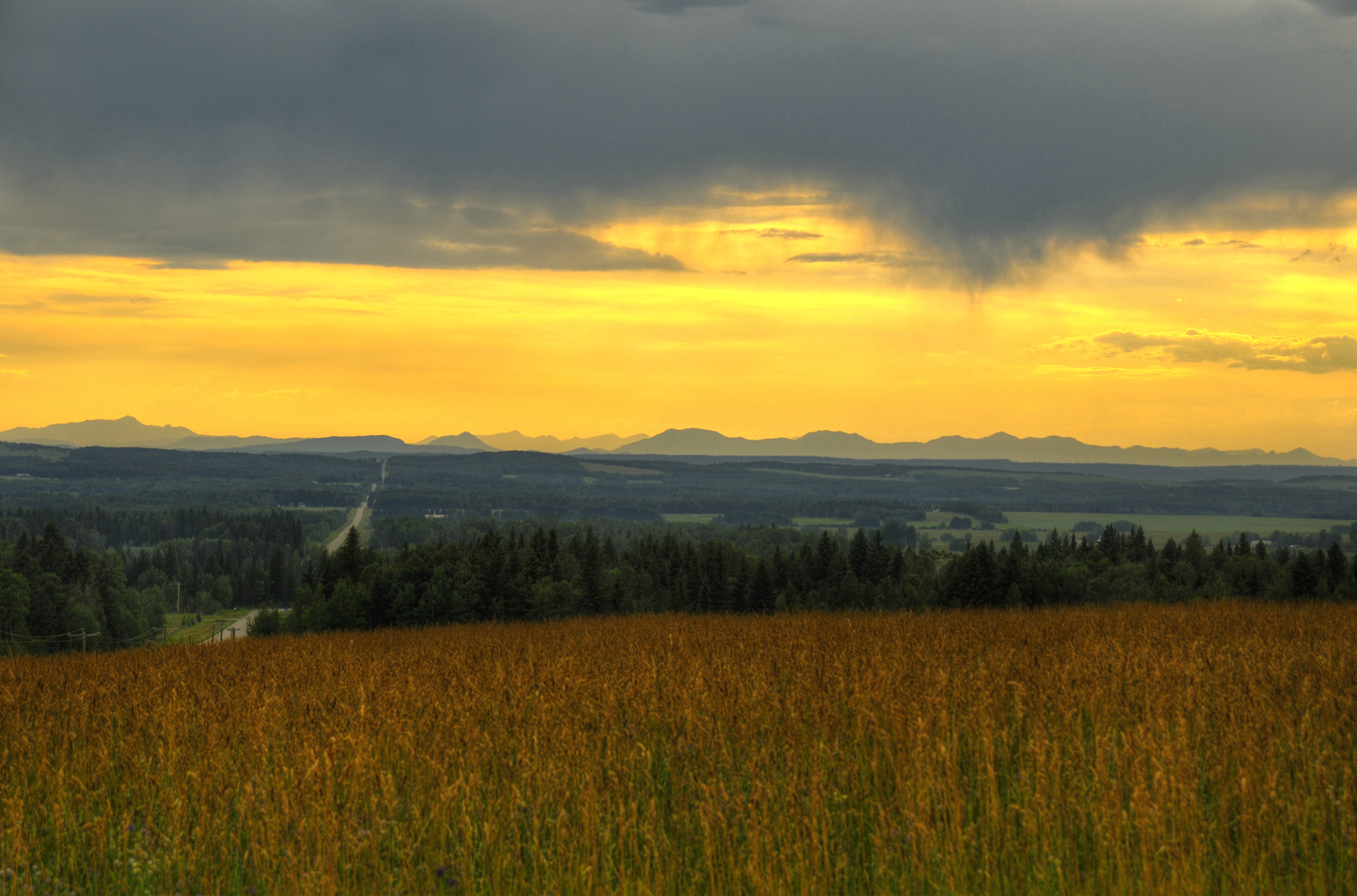
Rocky Mountain Sunset

Really Little House on the Prairie III

Storm Brewing Behind the Shed II

Really Little House on the Prairie II

Storm Brewing Behind the Shed I

Really Little House on the Prairie I

IMG_4845.jpg
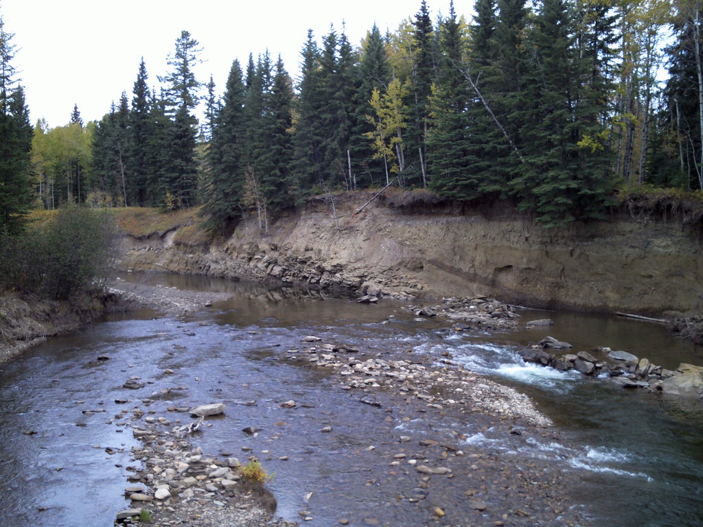
Fallen Timber Creek
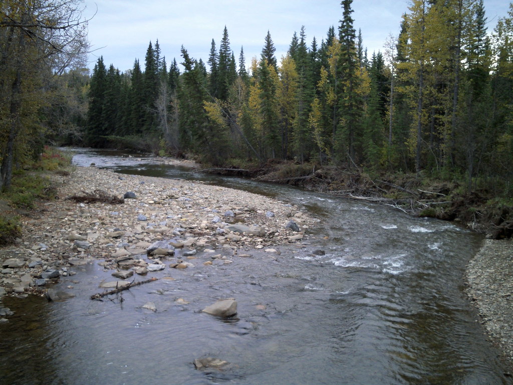
Fallen Timber Creek

Moon Over Cremona
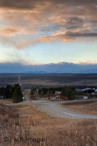
The Road to the Hills

restricted foothills

mountains ho
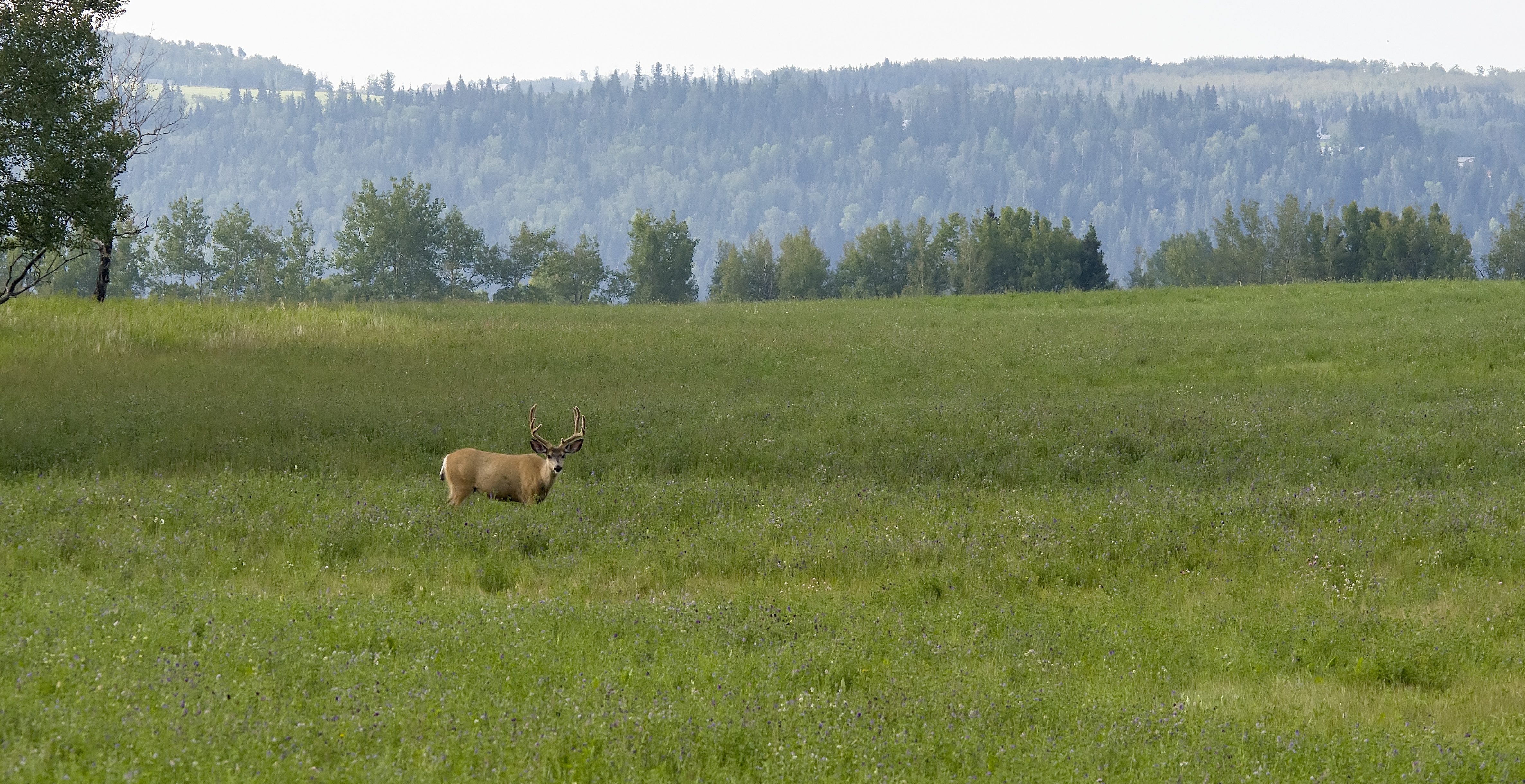
Mule Deer
Topographic Map of Elkton, AB T0M 0R0, Canada
Find elevation by address:

Places near Elkton, AB T0M 0R0, Canada:
Cremona
Bergen
Sundre
Alberta 22
Mountain View County
AB-, Madden, AB T0M 1L0, Canada
Madden
Range Rd 20A, Didsbury, AB T0M 0W0, Canada
Didsbury
19 St, Didsbury, AB T0M 0W0, Canada
35 Erhart Cl
63 Briegel Rd
19 Park Ln
5904 Park Meadows Cres
5633 Sherwood Crescent
5505 51 St
307 Sunrise View
31 Sundown Cres
Sundown Avenue
Sundown Place
Recent Searches:
- Elevation of 62 Abbey St, Marshfield, MA, USA
- Elevation of Fernwood, Bradenton, FL, USA
- Elevation of Felindre, Swansea SA5 7LU, UK
- Elevation of Leyte Industrial Development Estate, Isabel, Leyte, Philippines
- Elevation of W Granada St, Tampa, FL, USA
- Elevation of Pykes Down, Ivybridge PL21 0BY, UK
- Elevation of Jalan Senandin, Lutong, Miri, Sarawak, Malaysia
- Elevation of Bilohirs'k
- Elevation of 30 Oak Lawn Dr, Barkhamsted, CT, USA
- Elevation of Luther Road, Luther Rd, Auburn, CA, USA