Elevation of Elkhorn Rd, Cotopaxi, CO, USA
Location: United States > Colorado > Cotopaxi >
Longitude: -105.47953
Latitude: 38.2920879
Elevation: 2317m / 7602feet
Barometric Pressure: 76KPa
Elevation Map:
Satellite Map:
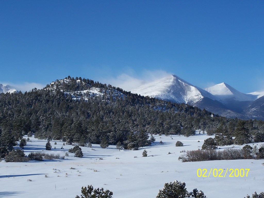
Related Photos:
the Bunkhouse
The Bunkhouse - Beckwith Ranch - Westcliffe, CO
Texas Creek Bridge
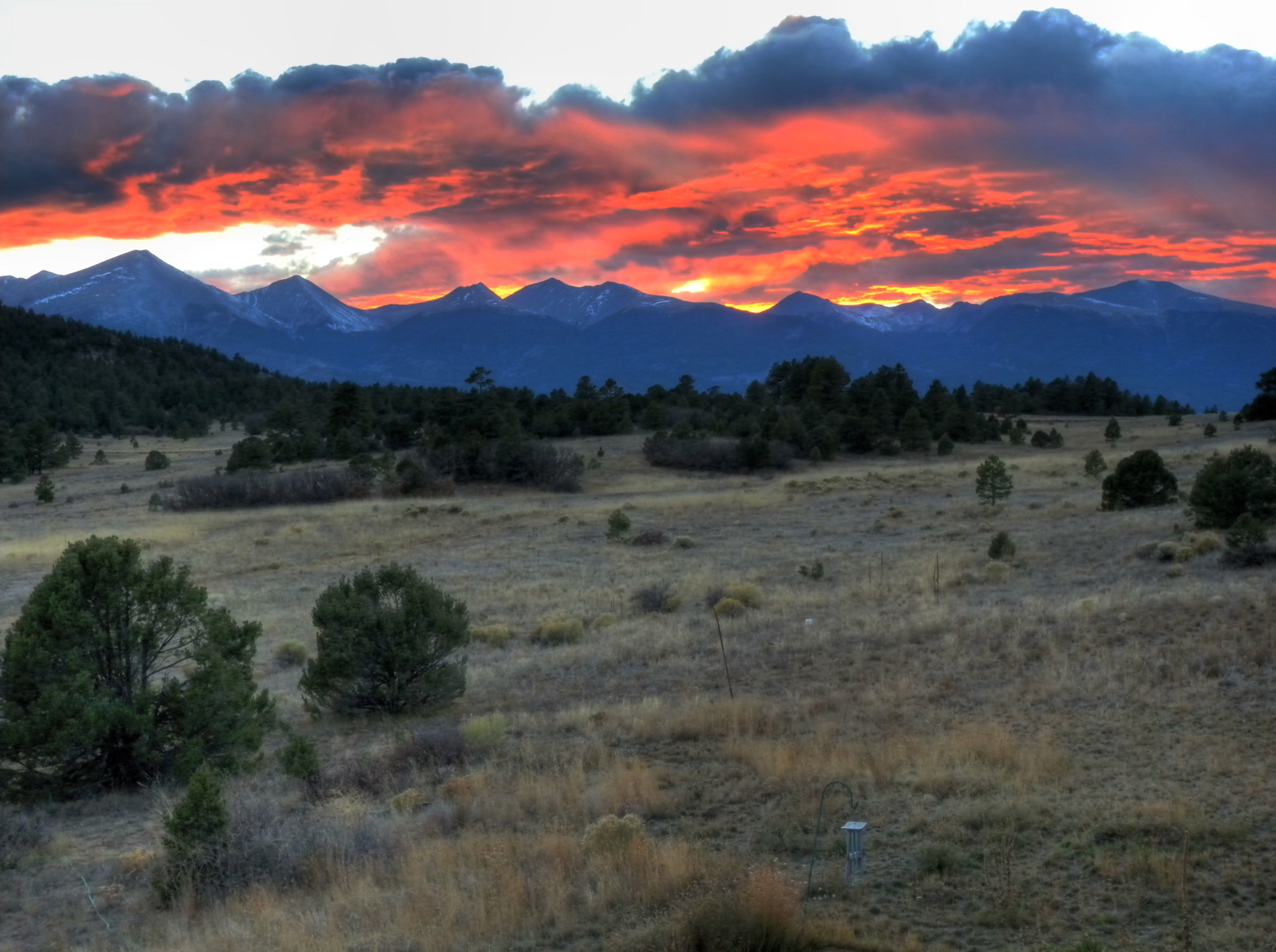
Sangre de Cristo Sunrise

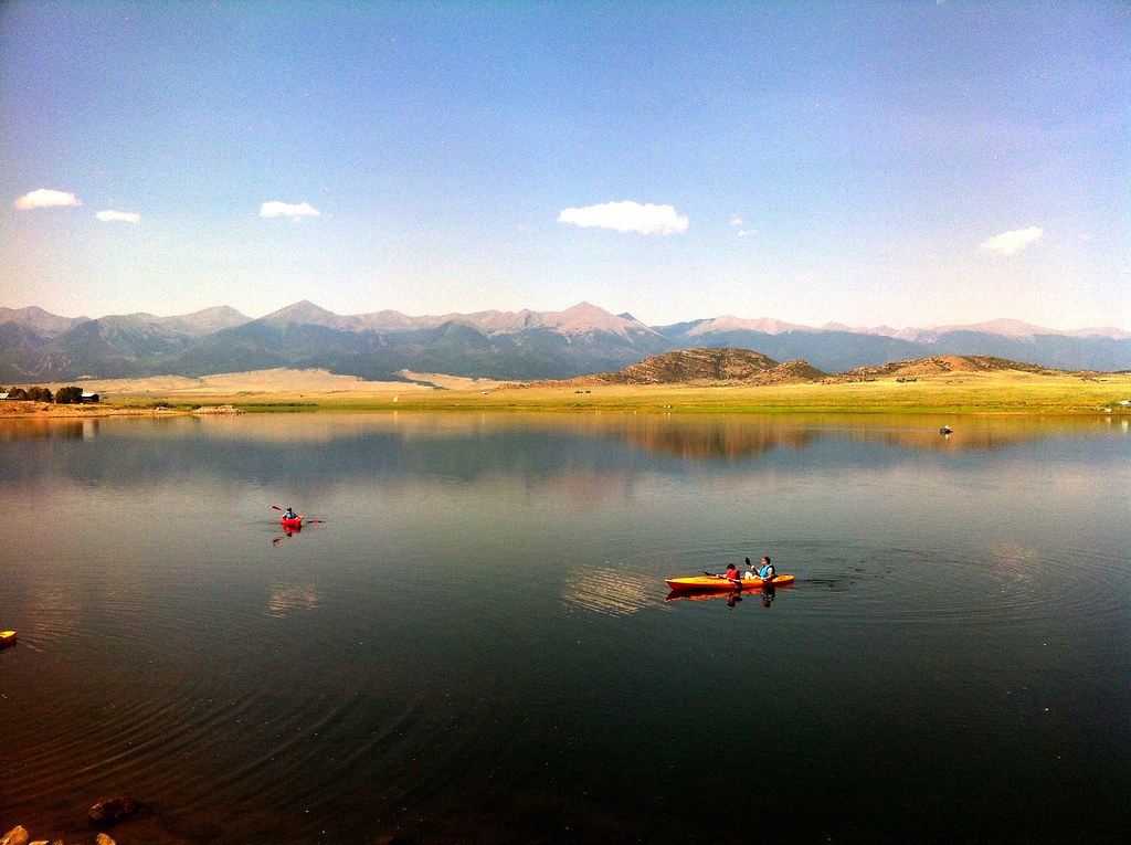
Horses in Colorado

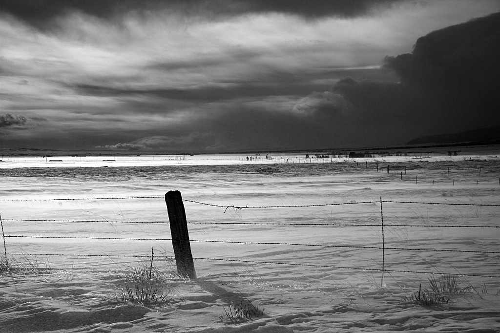
Clouds Near Westcliffe

GM_16-01-11_153241.jpg
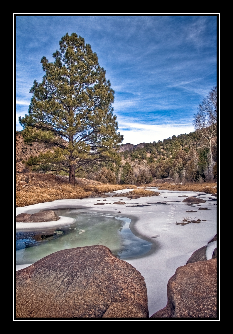
Grape Creek
PhotoContest-Udall10-9
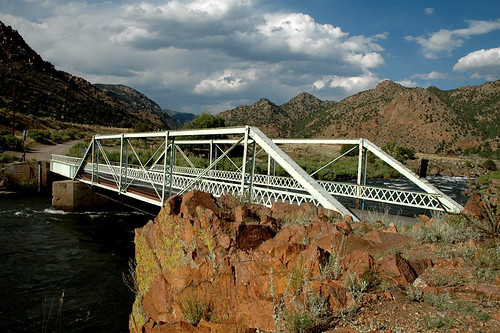
Texas Creek Bridge, Arkansas River, Colorado
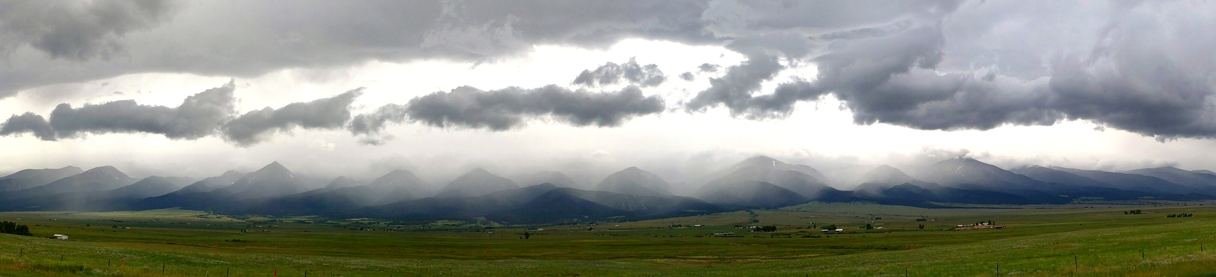
Sangre Storm Panorama

PhotoContest-Udall10-5

PhotoContest-Udall10-3
PhotoContest-Udall10-8
So what has everyone else been up to today?
PhotoContest-Udall10-6
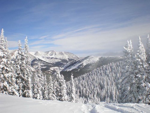
Westcliffe Winter
PhotoContest-Udall10-1
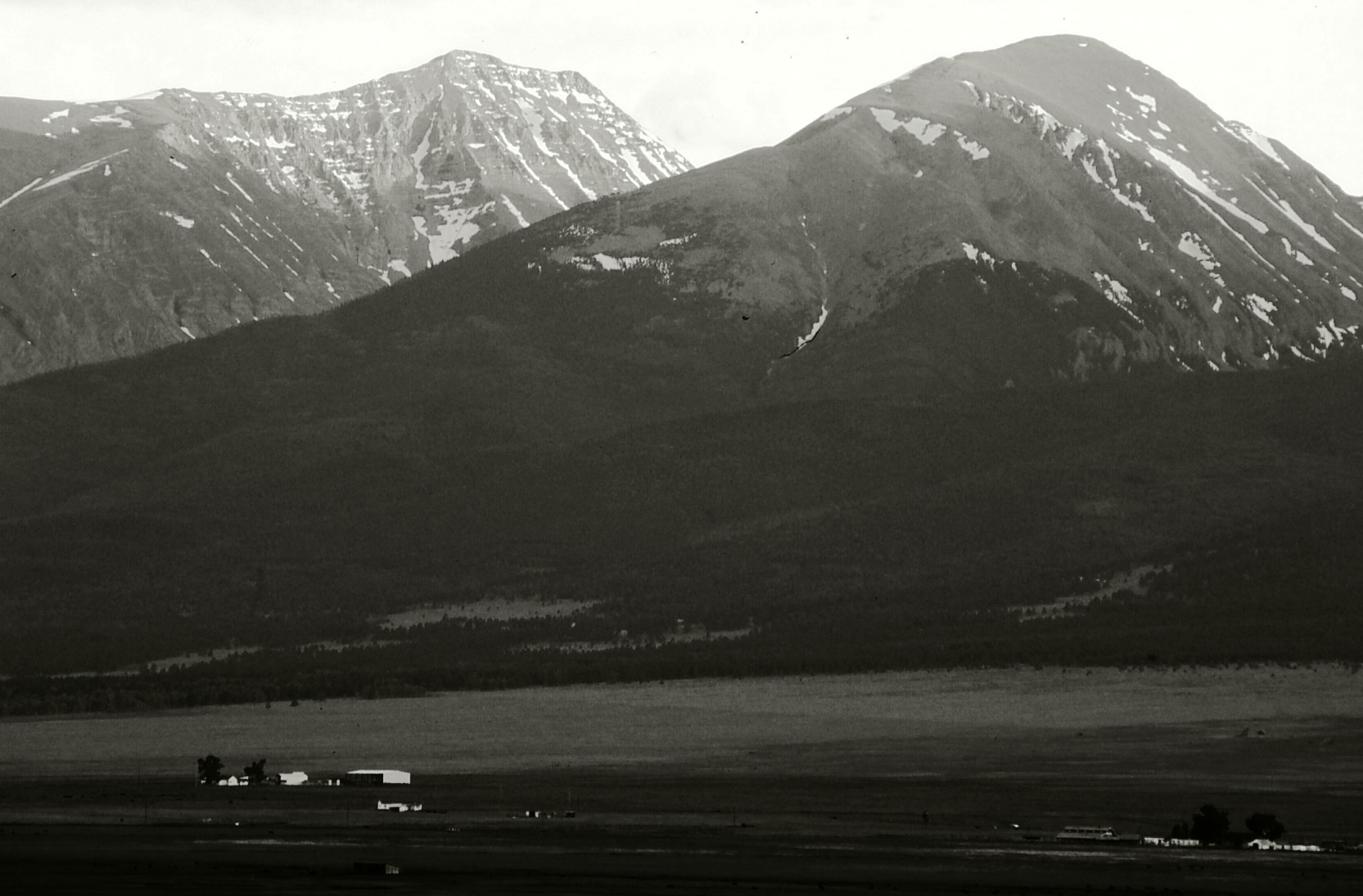
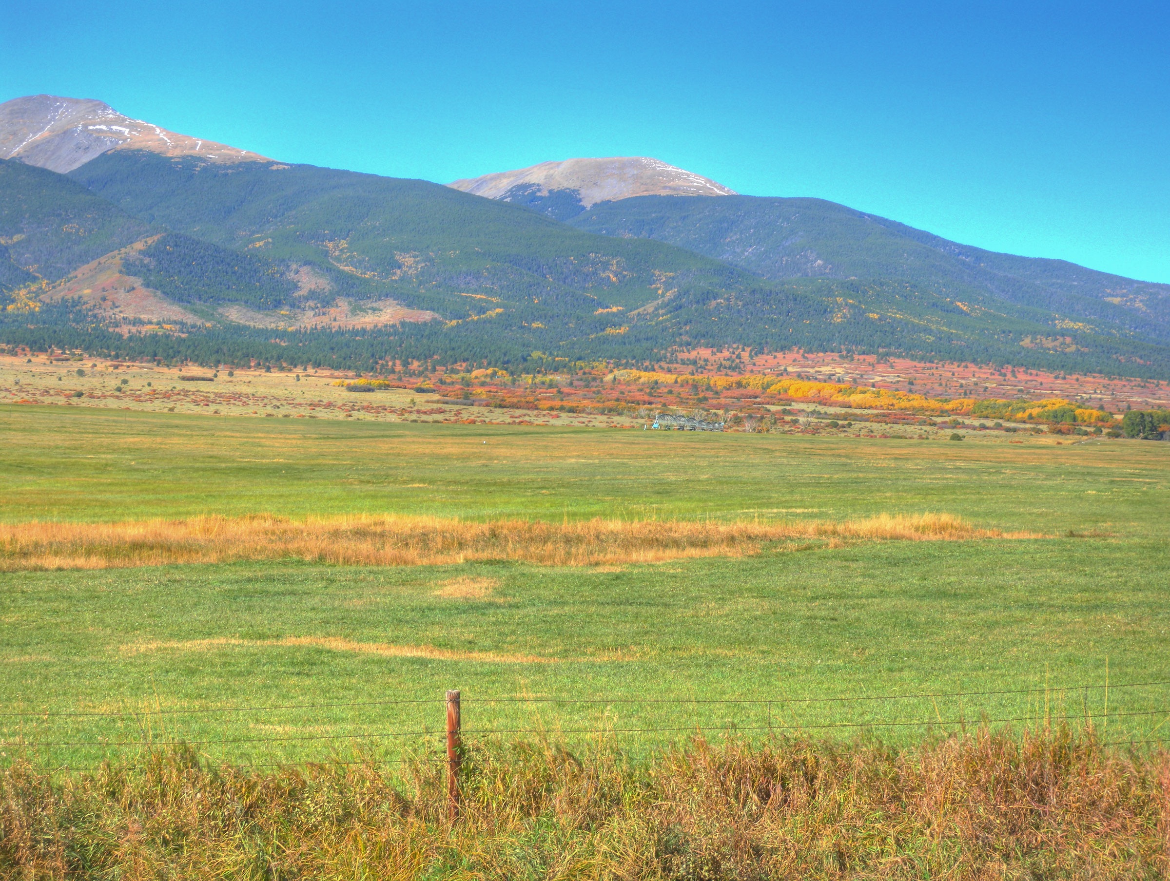
Sangre de Christo Range, Colorado
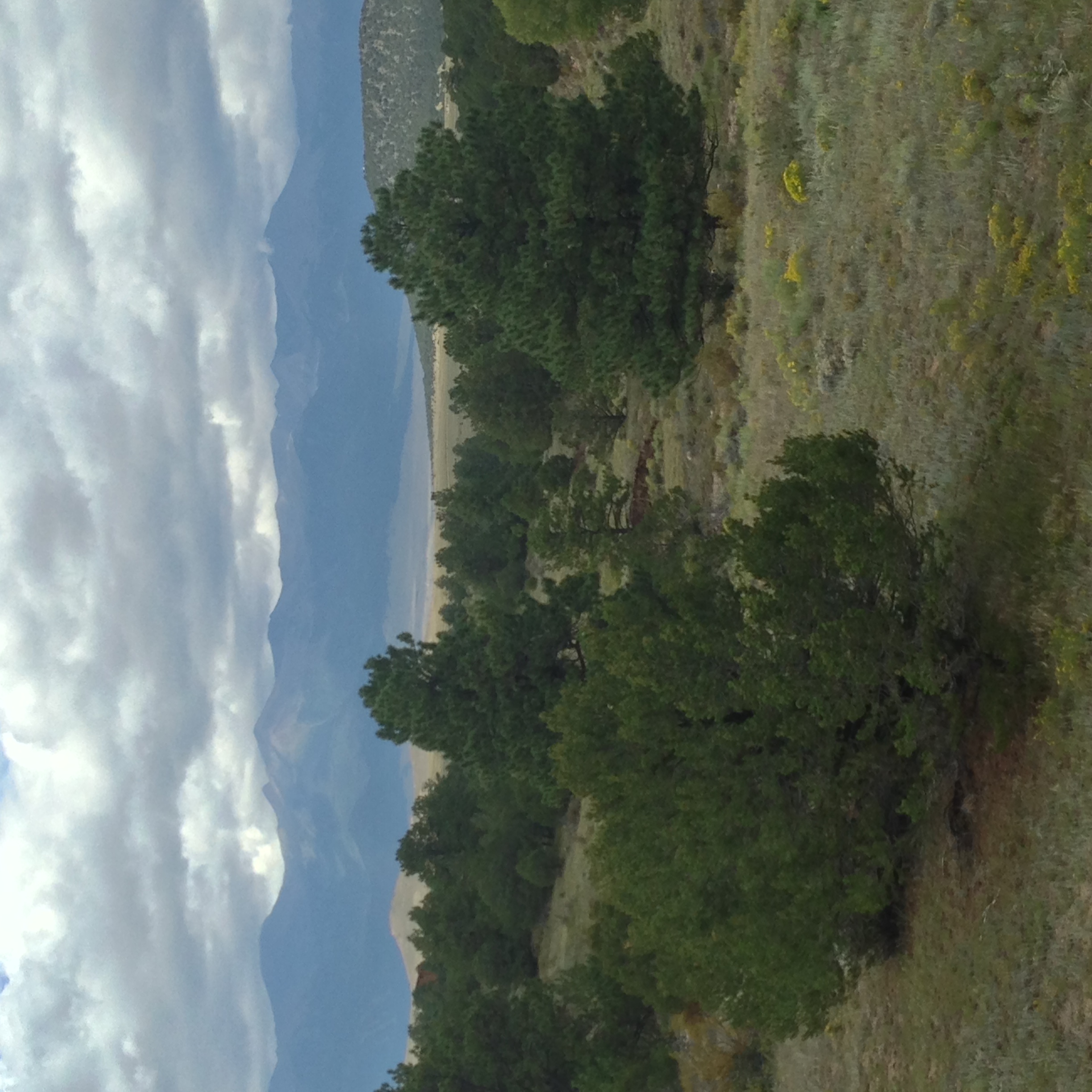
High desert
Topographic Map of Elkhorn Rd, Cotopaxi, CO, USA
Find elevation by address:

Places near Elkhorn Rd, Cotopaxi, CO, USA:
409 Elkhorn Rd
248 Beasley Blvd
2925 M Path
Copper Gulch Road
1163 32nd Trail
1112 24th Trail
1562 19th Trail
County Road 27a
Acorn Road
962 32nd Trail
1139 18th Trail
1526 M Path
13th Trail
1662 11th Trail
100 Wild Bill Blvd
1200 Corral S
Buck Mountain
655 Lakeview Rd
504 Mears Rd
Looters Lane
Recent Searches:
- Elevation of Honghe National Nature Reserve, QP95+PJP, Tongjiang, Heilongjiang, Jiamusi, Heilongjiang, China
- Elevation of Hercules Dr, Colorado Springs, CO, USA
- Elevation of Szlak pieszy czarny, Poland
- Elevation of Griffing Blvd, Biscayne Park, FL, USA
- Elevation of Kreuzburger Weg 13, Düsseldorf, Germany
- Elevation of Gateway Blvd SE, Canton, OH, USA
- Elevation of East W.T. Harris Boulevard, E W.T. Harris Blvd, Charlotte, NC, USA
- Elevation of West Sugar Creek, Charlotte, NC, USA
- Elevation of Wayland, NY, USA
- Elevation of Steadfast Ct, Daphne, AL, USA