Elevation of Elkfork, KY, USA
Location: United States > Kentucky > Morgan County >
Longitude: -83.132950
Latitude: 37.9648096
Elevation: 258m / 846feet
Barometric Pressure: 98KPa
Elevation Map:
Satellite Map:
Related Photos:

A & Ω
A & Ω

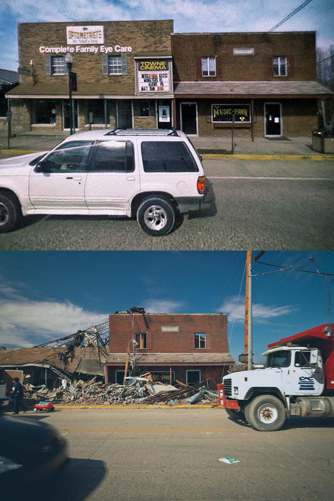
Morgan county courthouse, West Liberty, KY

DSC_0138

DSC_0137

DSC_0009

DSC_0094

DSC_0121

DSC_0102

DSC_0070

DSC_0120

DSC_0080

DSC_0098
Topographic Map of Elkfork, KY, USA
Find elevation by address:

Places in Elkfork, KY, USA:
Places near Elkfork, KY, USA:
KY-, West Liberty, KY, USA
1904 Lick Branch Rd
KY-, Elkfork, KY, USA
Spaws Creek Rd, West Liberty, KY, USA
119 Cr-1573
West Liberty
Lower Sand Lick Road
425 Main St
46 Smiths Rd, West Liberty, KY, USA
Flat Fork
W Main St, West Liberty, KY, USA
Morgan County
Liberty Rd, West Liberty, KY, USA
US-, West Liberty, KY, USA
Tick Lick Road
1446 Centerville Rd
Salyersville
Phils Branch Road
Magoffin County
80 Mountain Pkwy, Salyersville, KY, USA
Recent Searches:
- Elevation of Elwyn Dr, Roanoke Rapids, NC, USA
- Elevation of Congressional Dr, Stevensville, MD, USA
- Elevation of Bellview Rd, McLean, VA, USA
- Elevation of Stage Island Rd, Chatham, MA, USA
- Elevation of Shibuya Scramble Crossing, 21 Udagawacho, Shibuya City, Tokyo -, Japan
- Elevation of Jadagoniai, Kaunas District Municipality, Lithuania
- Elevation of Pagonija rock, Kranto 7-oji g. 8"N, Kaunas, Lithuania
- Elevation of Co Rd 87, Jamestown, CO, USA
- Elevation of Tenjo, Cundinamarca, Colombia
- Elevation of Côte-des-Neiges, Montreal, QC H4A 3J6, Canada