Elevation of Elk, IA, USA
Location: United States > Iowa > Buena Vista County >
Longitude: -95.331165
Latitude: 42.7594445
Elevation: 453m / 1486feet
Barometric Pressure: 96KPa
Elevation Map:
Satellite Map:
Related Photos:

3D-09-28-08-0020a my new car

View of RAGBRAI from the Upstairs Bedroom of an 1890's Farmhouse. Hanover Historic Village.
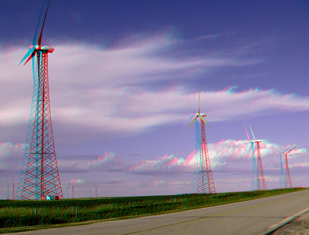
3D-06-25-08-0008a Iowa wind energy
3D-06-25-08-0009ab storm coming
Little Storm Lake (16)

Little Storm Lake (2)

Little Storm Lake (13)
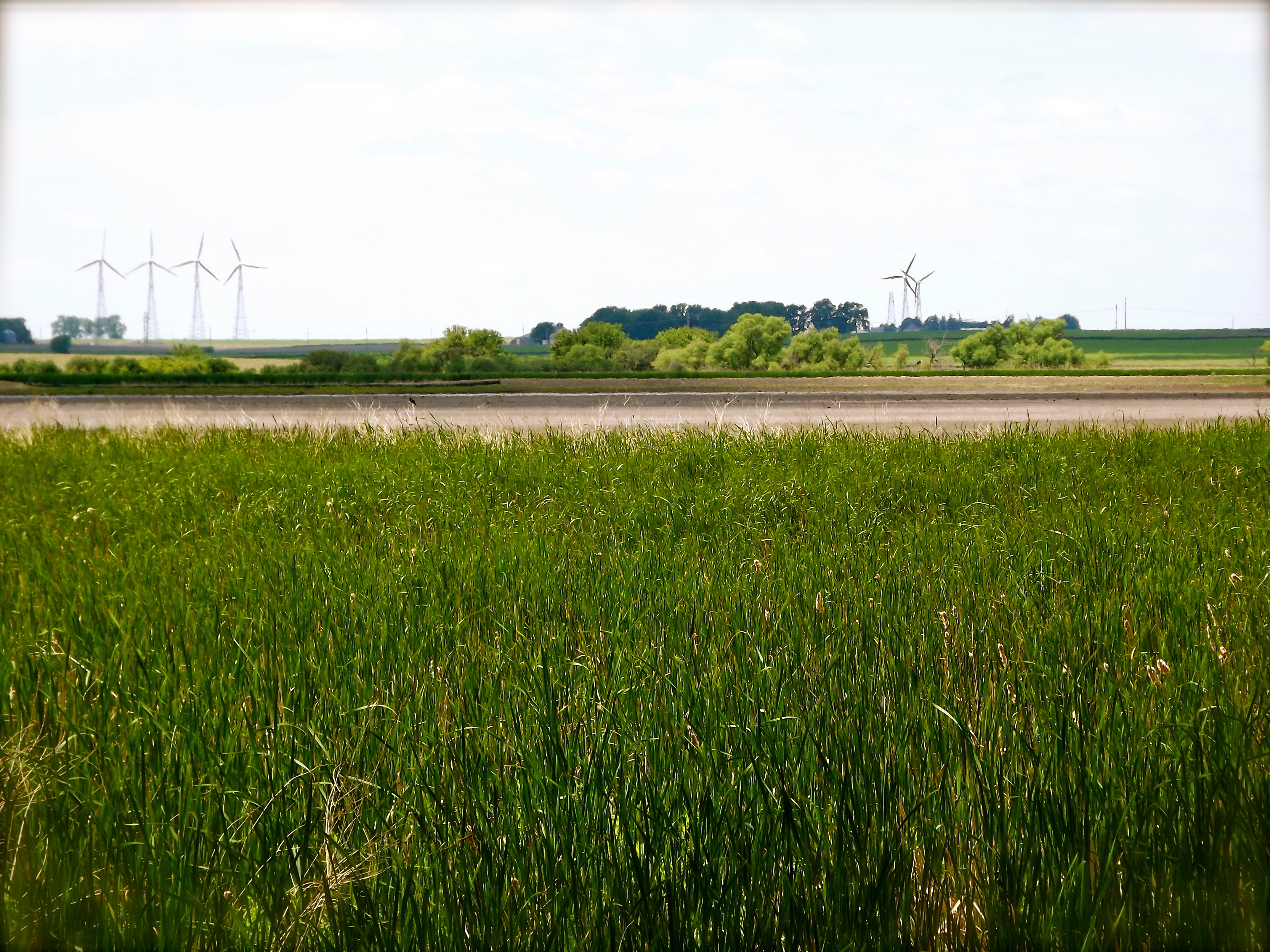
Long View (2)
Long View (1)

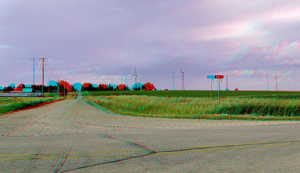
Wind Turbines Near Hanover Village. RAGBRAI XL.
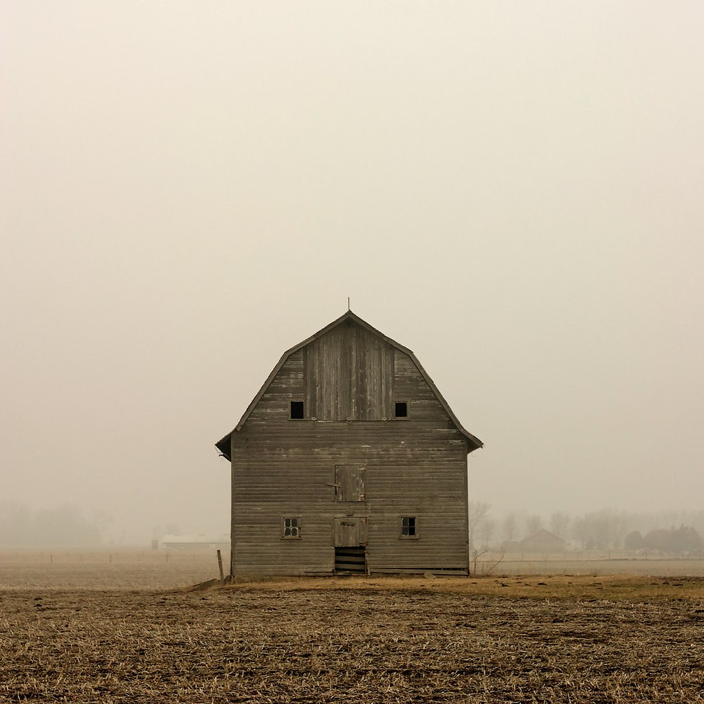
Untitled [Barn, North elevation, North of Aurelia, Cherokee County, Iowa]
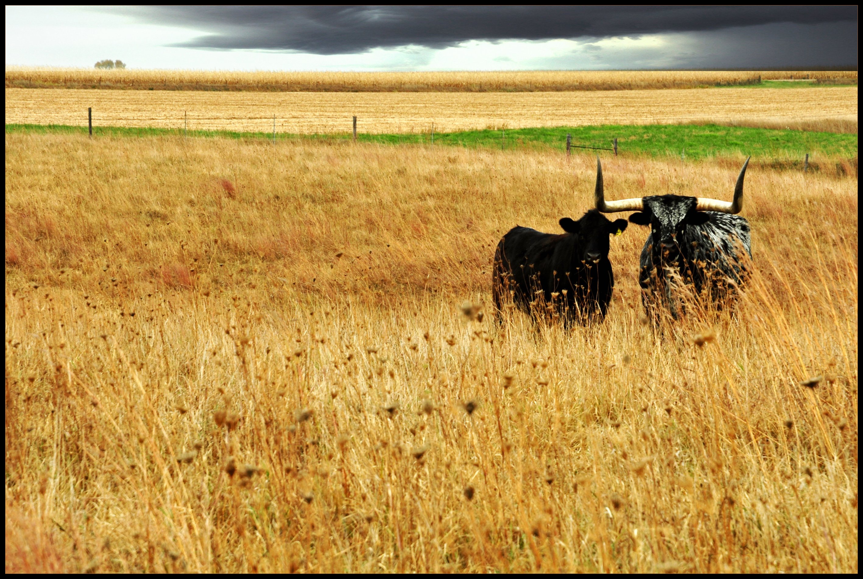
Beauty and the Beast

Little Storm Lake (22)
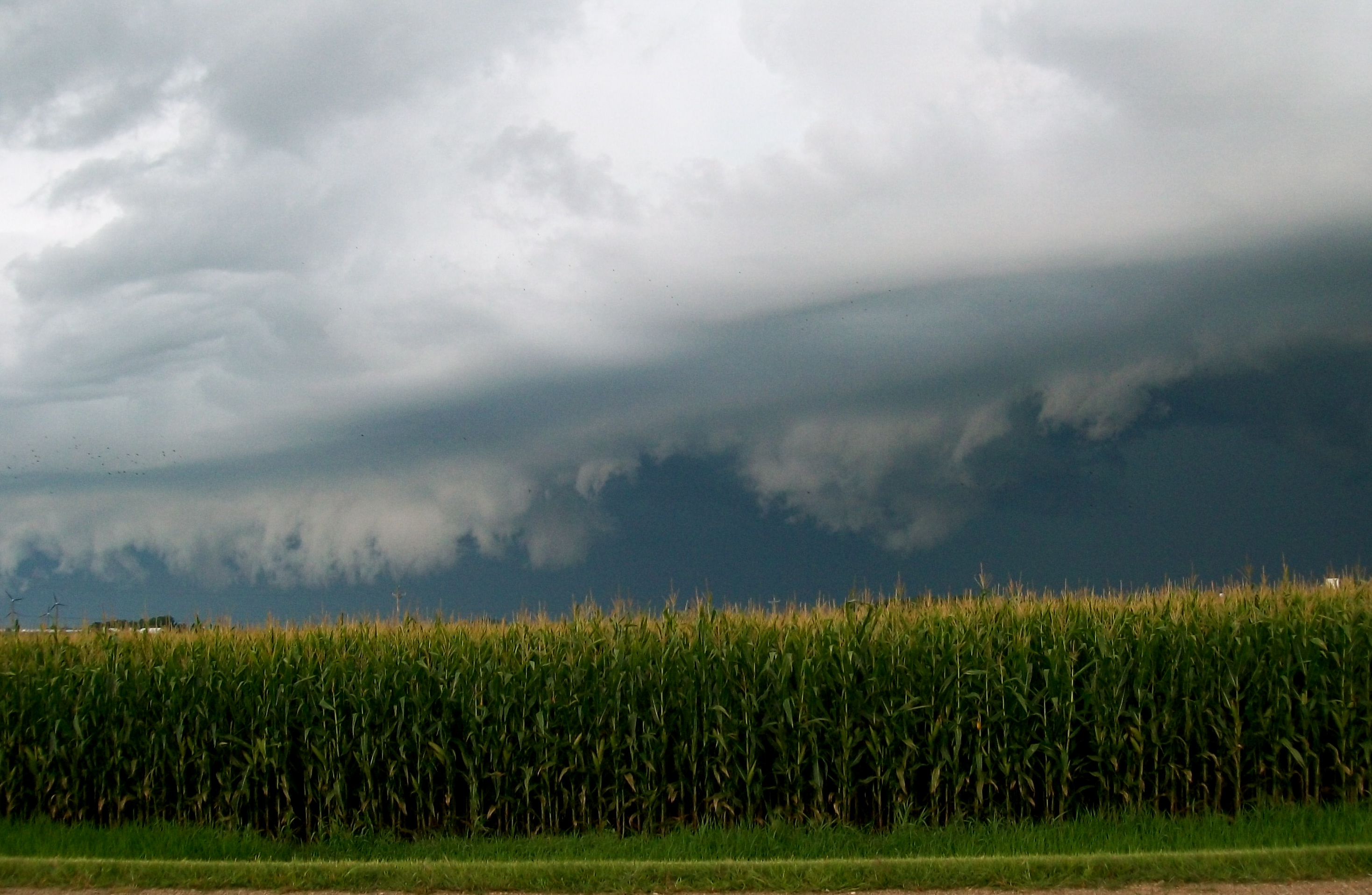
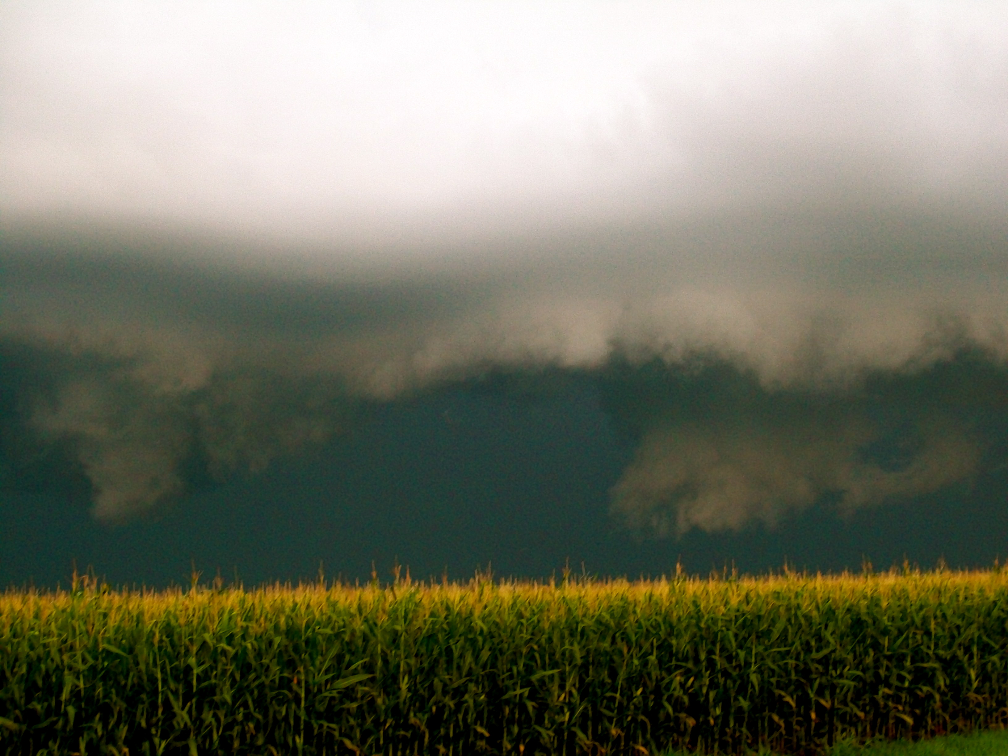
Storm Over Corn 6
Little Storm Lake (24)

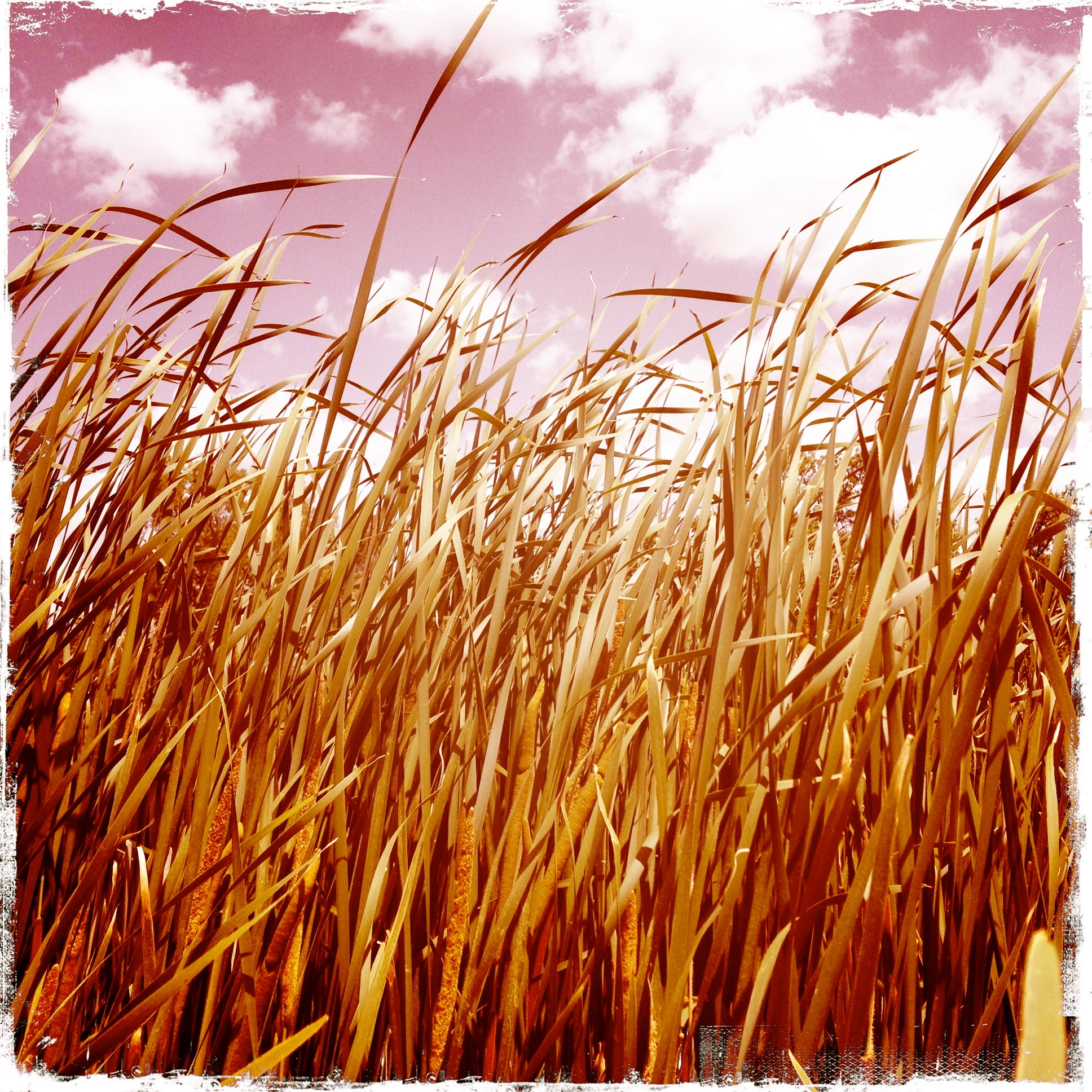
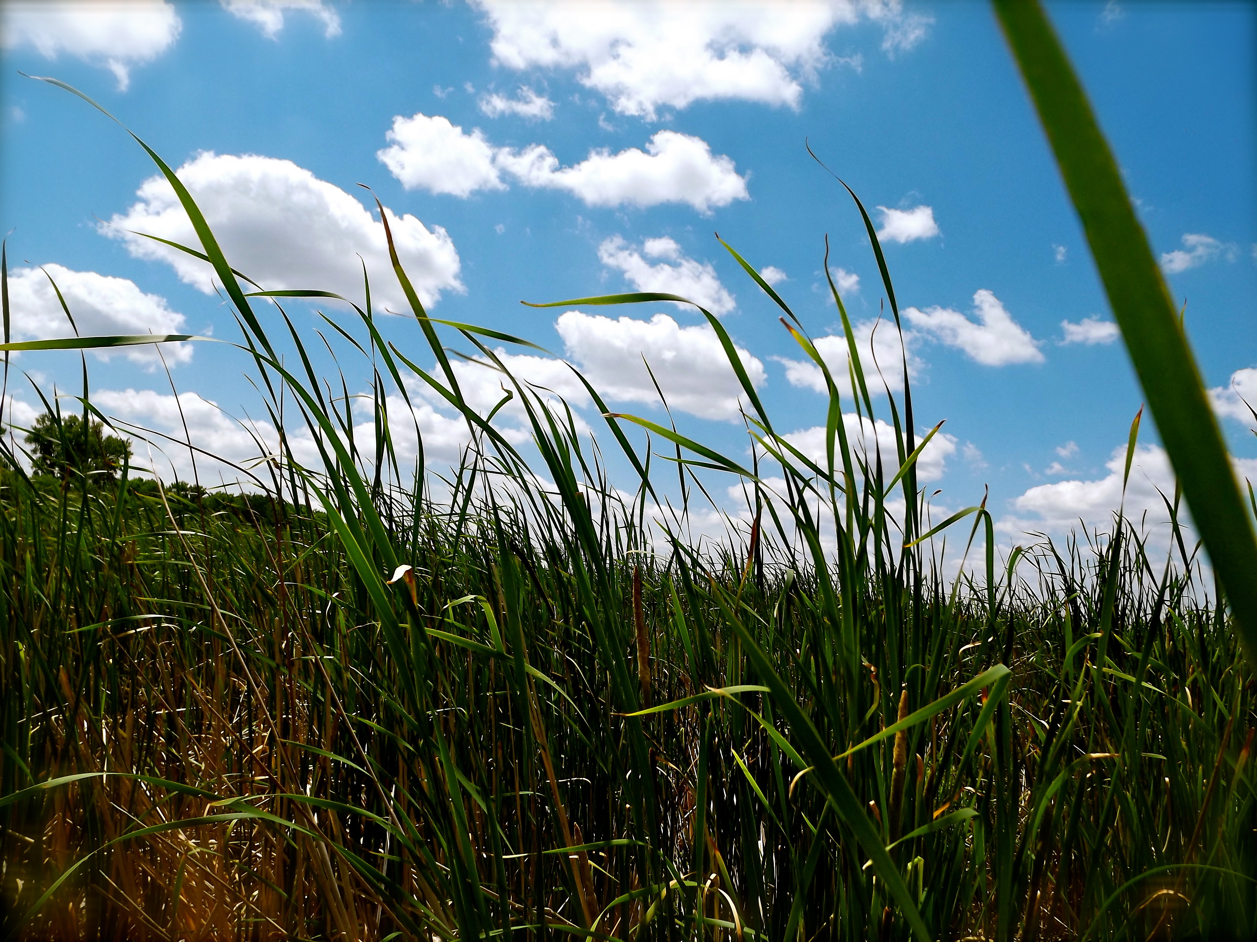
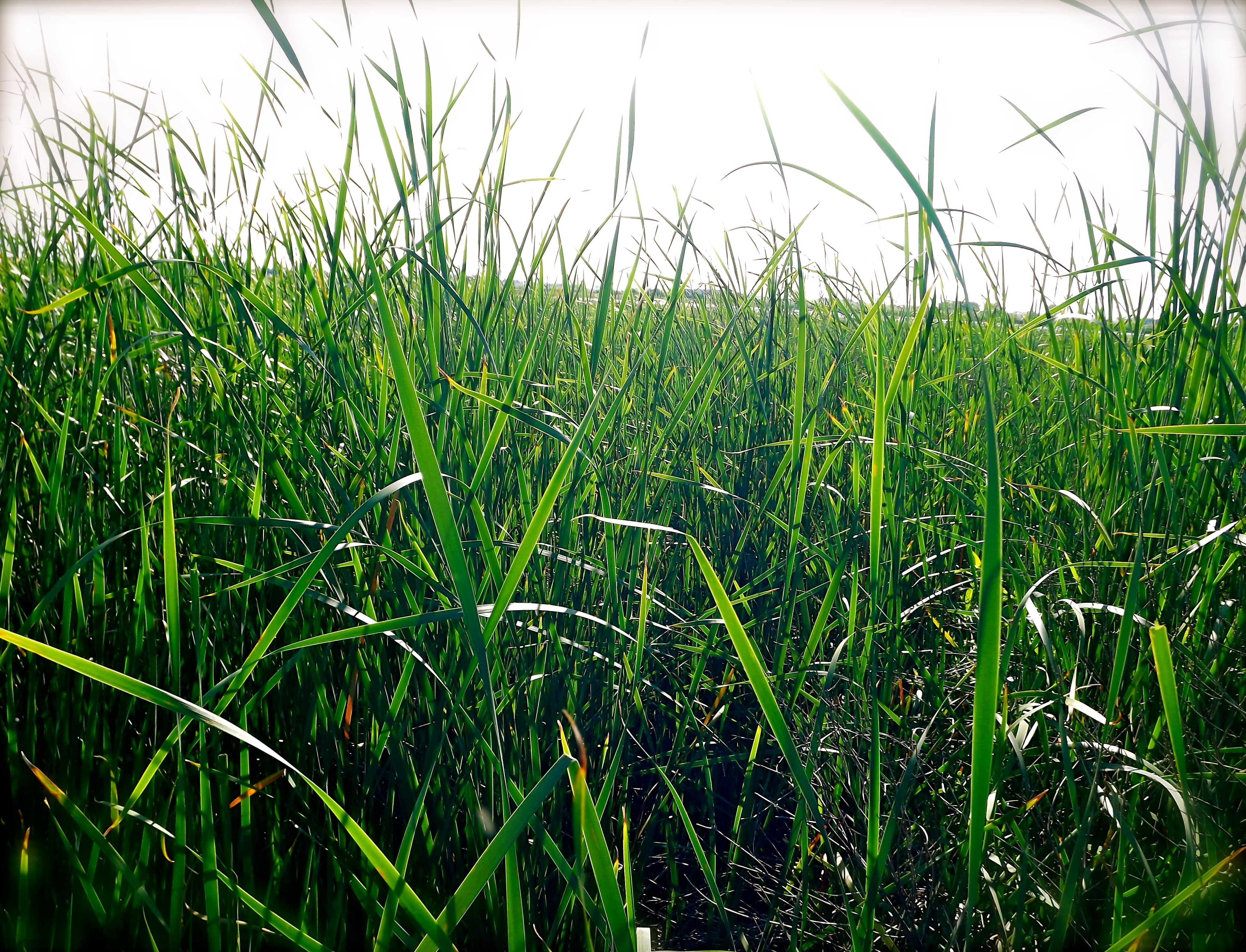
Tall Grass (2)
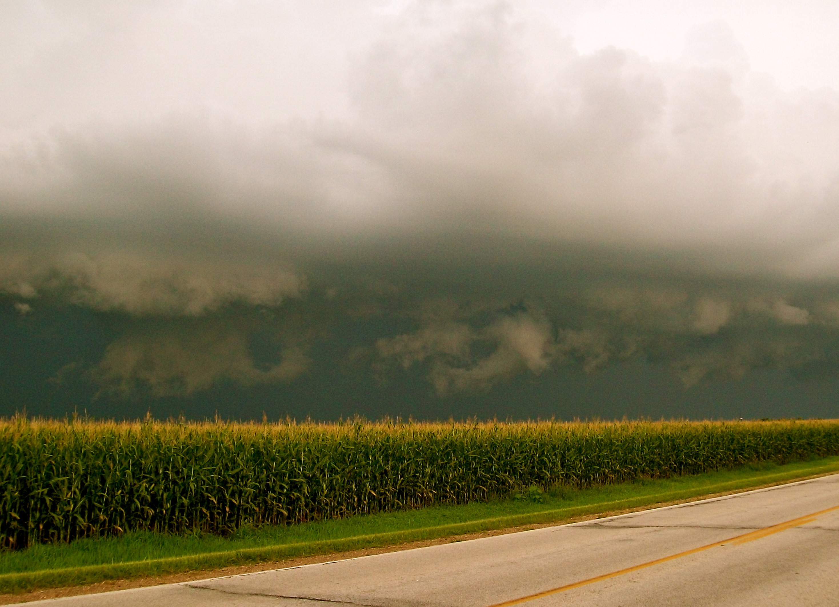
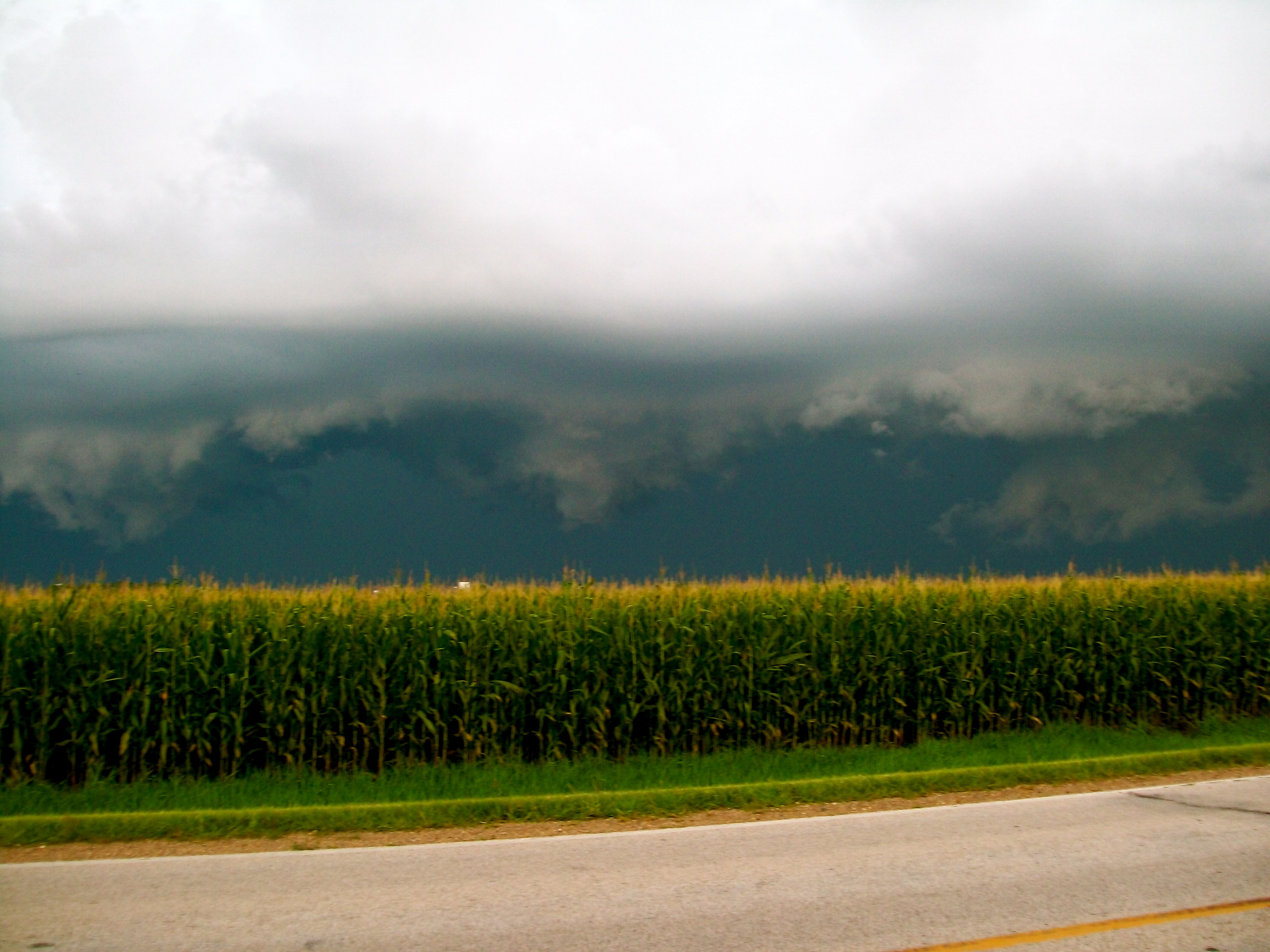
Storm Over Corn 7

Long Clouds Coming Down (3)
Little Storm Lake (7)

Storm Over Corn 2
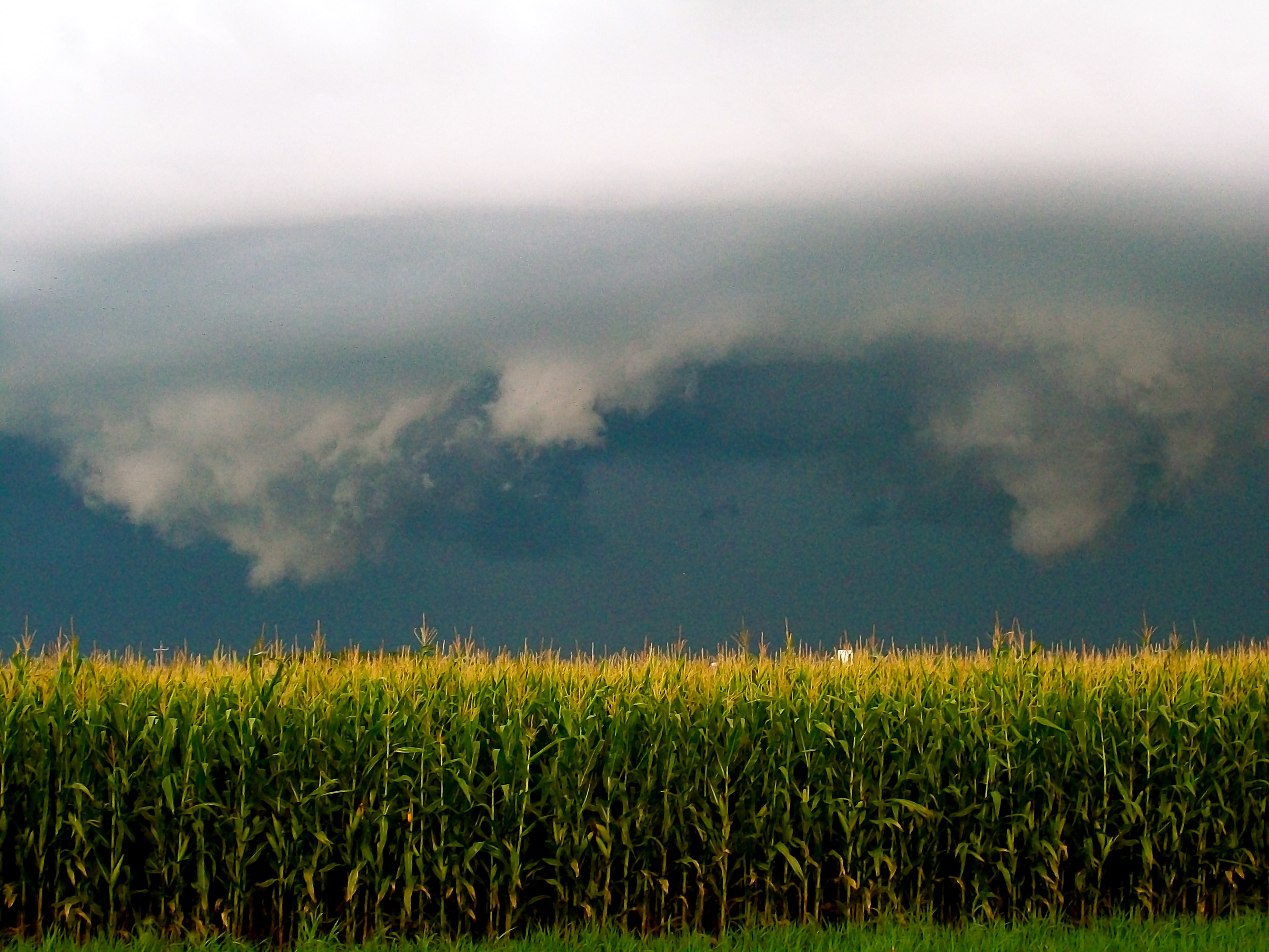
Storm Over Corn 3
Storm Over Corn 4
Tall Grass (6)
Storm Over Corn 8
Shadow Trees (2)
Little Storm Lake (15)
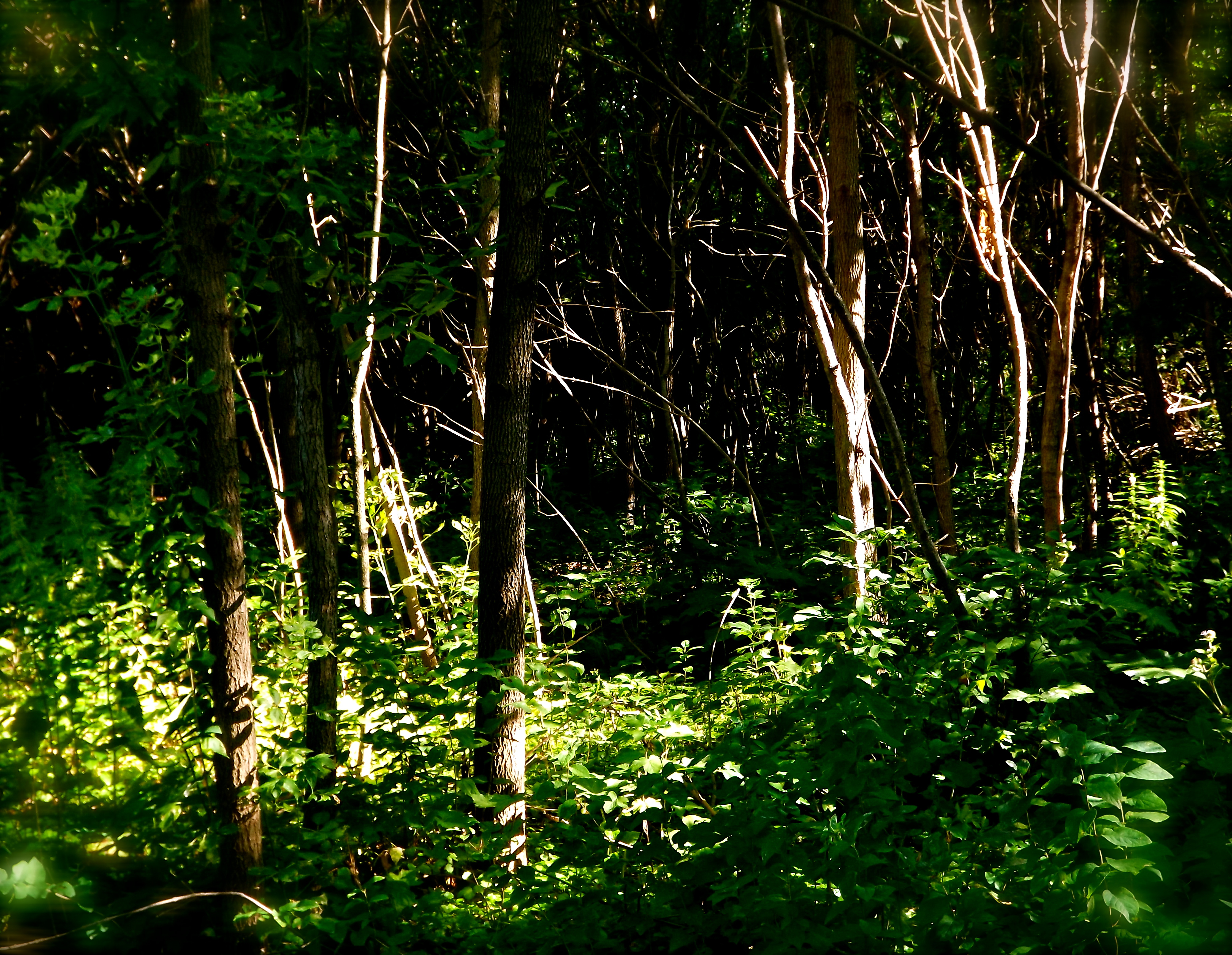
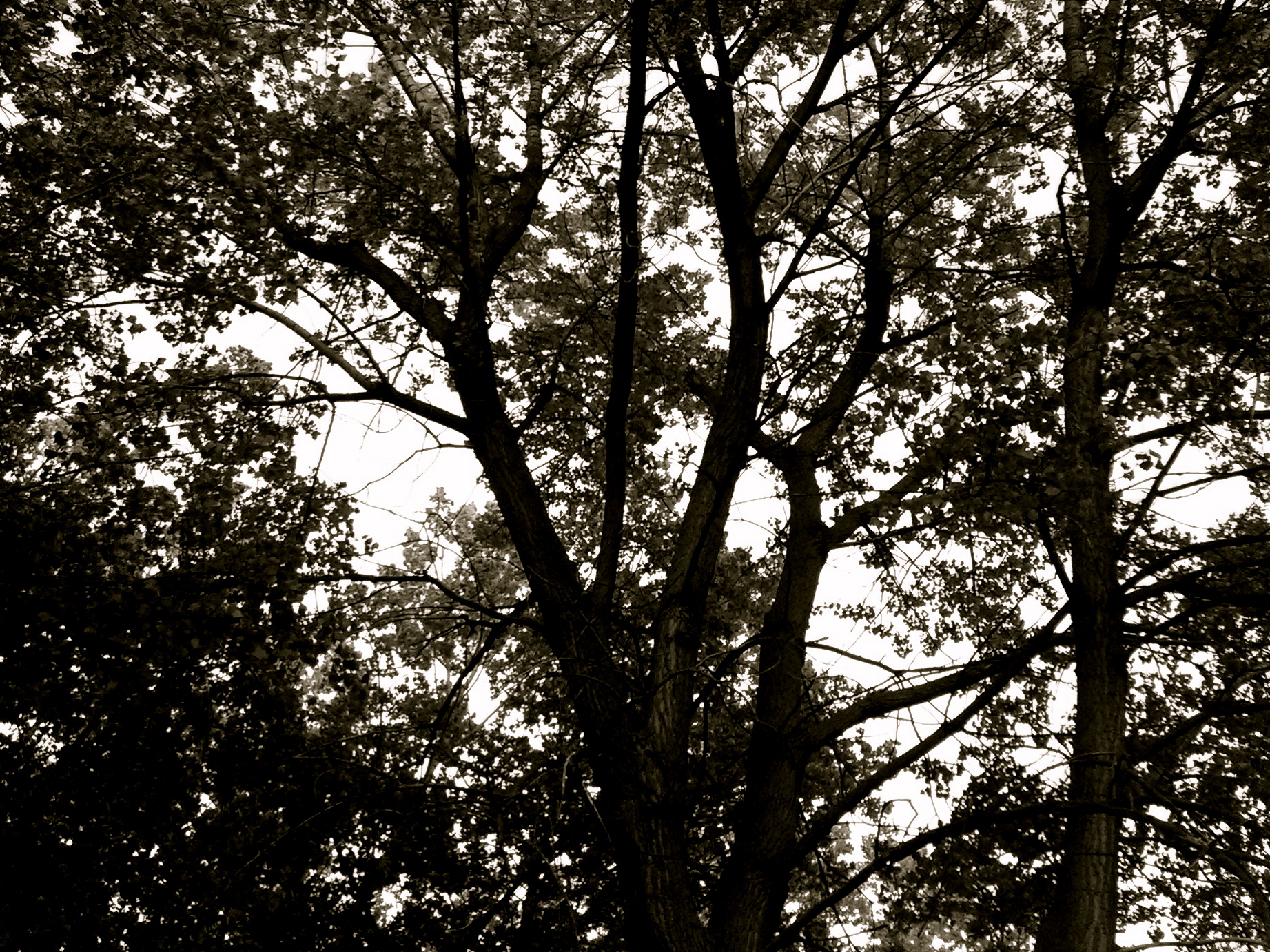
Into the Woods (1)
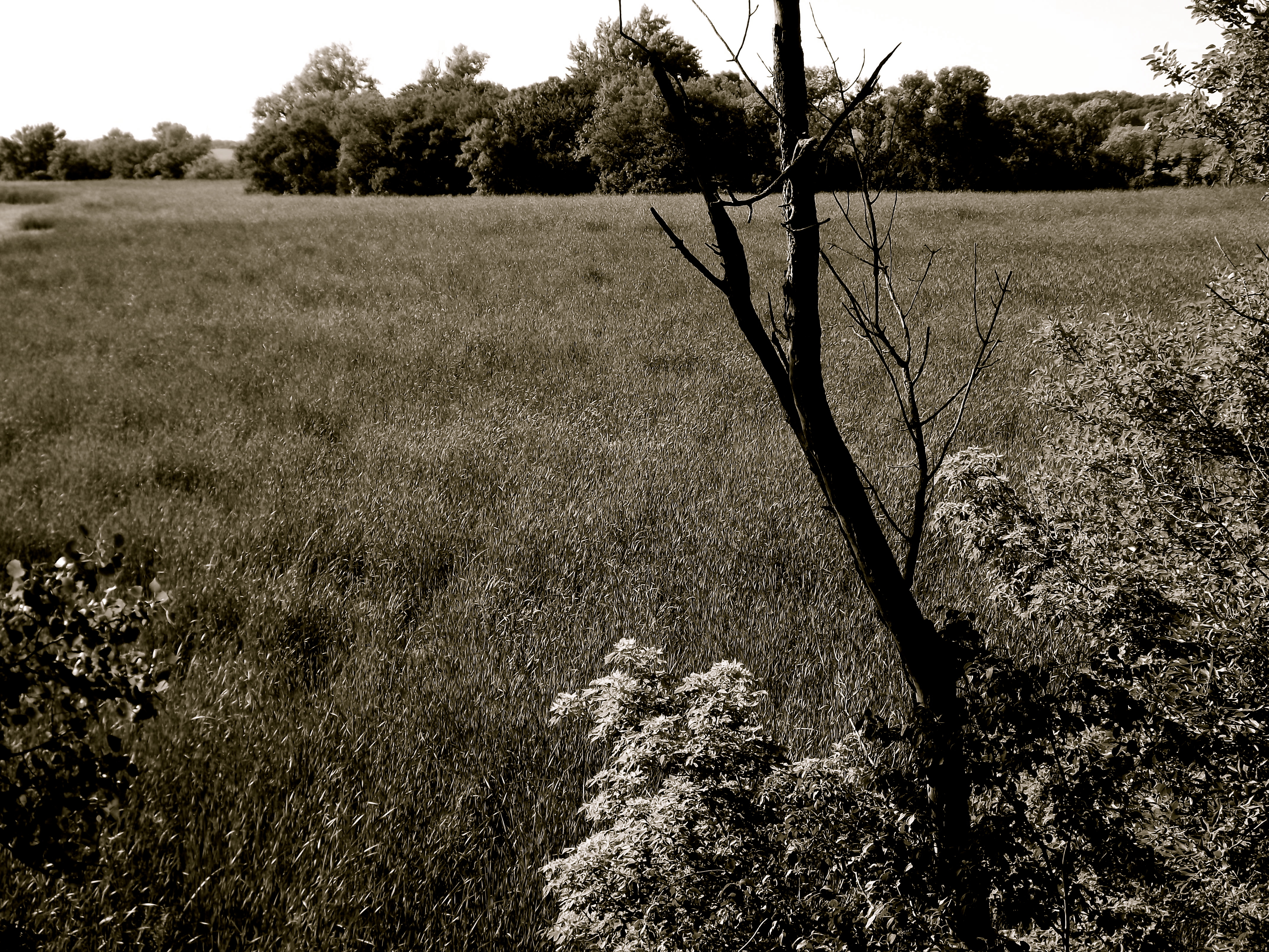
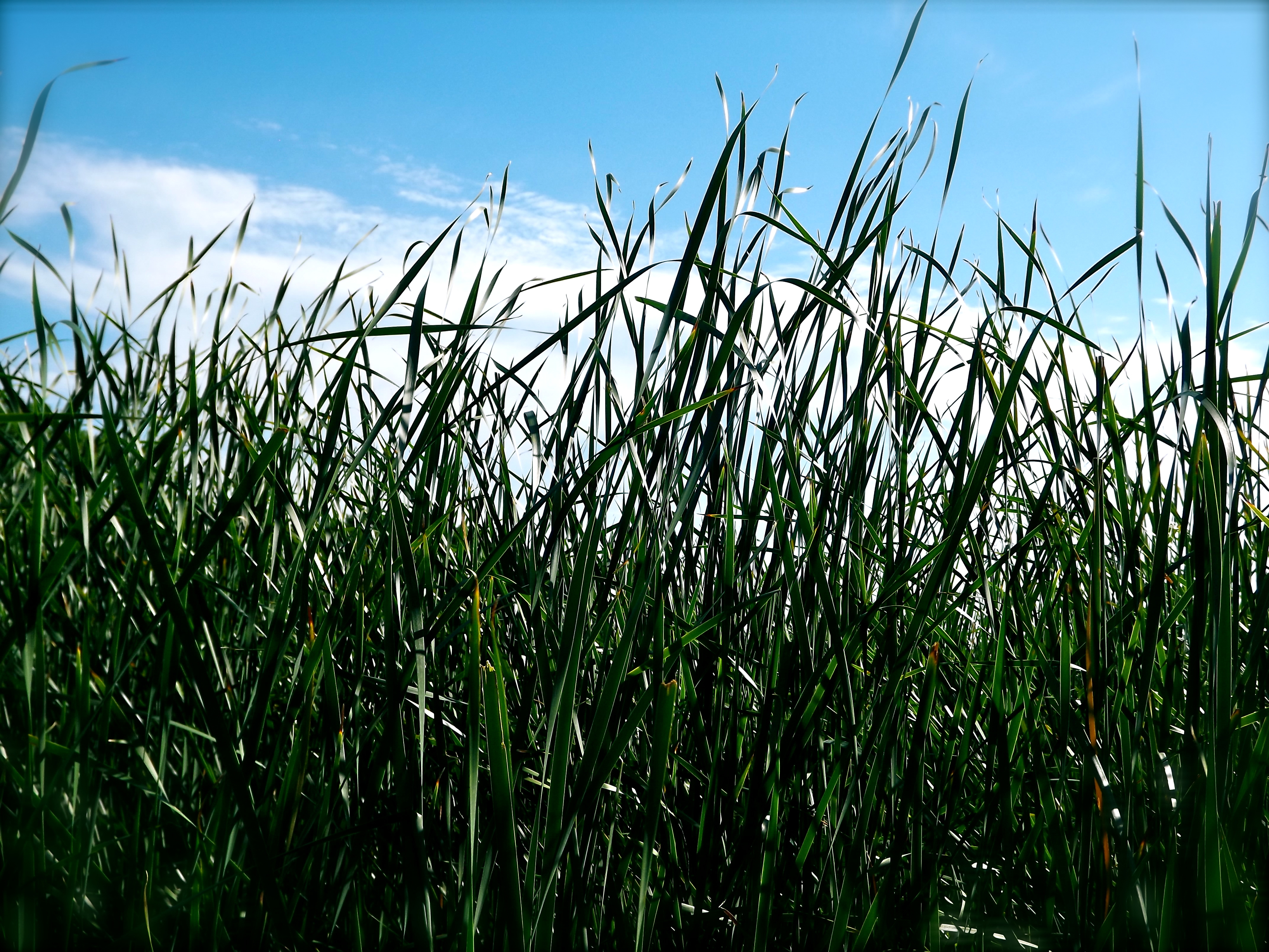
Iowa Prairie
Tall Grass (7)
Topographic Map of Elk, IA, USA
Find elevation by address:

Places in Elk, IA, USA:
Places near Elk, IA, USA:
20th Ave, Aurelia, IA, USA
Nokomis
Alta
IA-7, Alta, IA, USA
Main St, Aurelia, IA, USA
Aurelia
Washington
Pitcher
Main St, Albert City, IA, USA
Truesdale
410 Broadway St
Maple Valley
Weaver St, Linn Grove, IA, USA
Linn Grove
Peterson
Main St, Peterson, IA, USA
20th Ave, Alta, IA, USA
304 Park St
3 E 4th St
Scott St, Storm Lake, IA, USA
Recent Searches:
- Elevation of Corso Fratelli Cairoli, 35, Macerata MC, Italy
- Elevation of Tallevast Rd, Sarasota, FL, USA
- Elevation of 4th St E, Sonoma, CA, USA
- Elevation of Black Hollow Rd, Pennsdale, PA, USA
- Elevation of Oakland Ave, Williamsport, PA, USA
- Elevation of Pedrógão Grande, Portugal
- Elevation of Klee Dr, Martinsburg, WV, USA
- Elevation of Via Roma, Pieranica CR, Italy
- Elevation of Tavkvetili Mountain, Georgia
- Elevation of Hartfords Bluff Cir, Mt Pleasant, SC, USA