Elevation of Elizabeth, AR, USA
Location: United States > Arkansas > Fulton County > Big Creek Township >
Longitude: -92.095986
Latitude: 36.331455
Elevation: 254m / 833feet
Barometric Pressure: 98KPa
Elevation Map:
Satellite Map:
Related Photos:
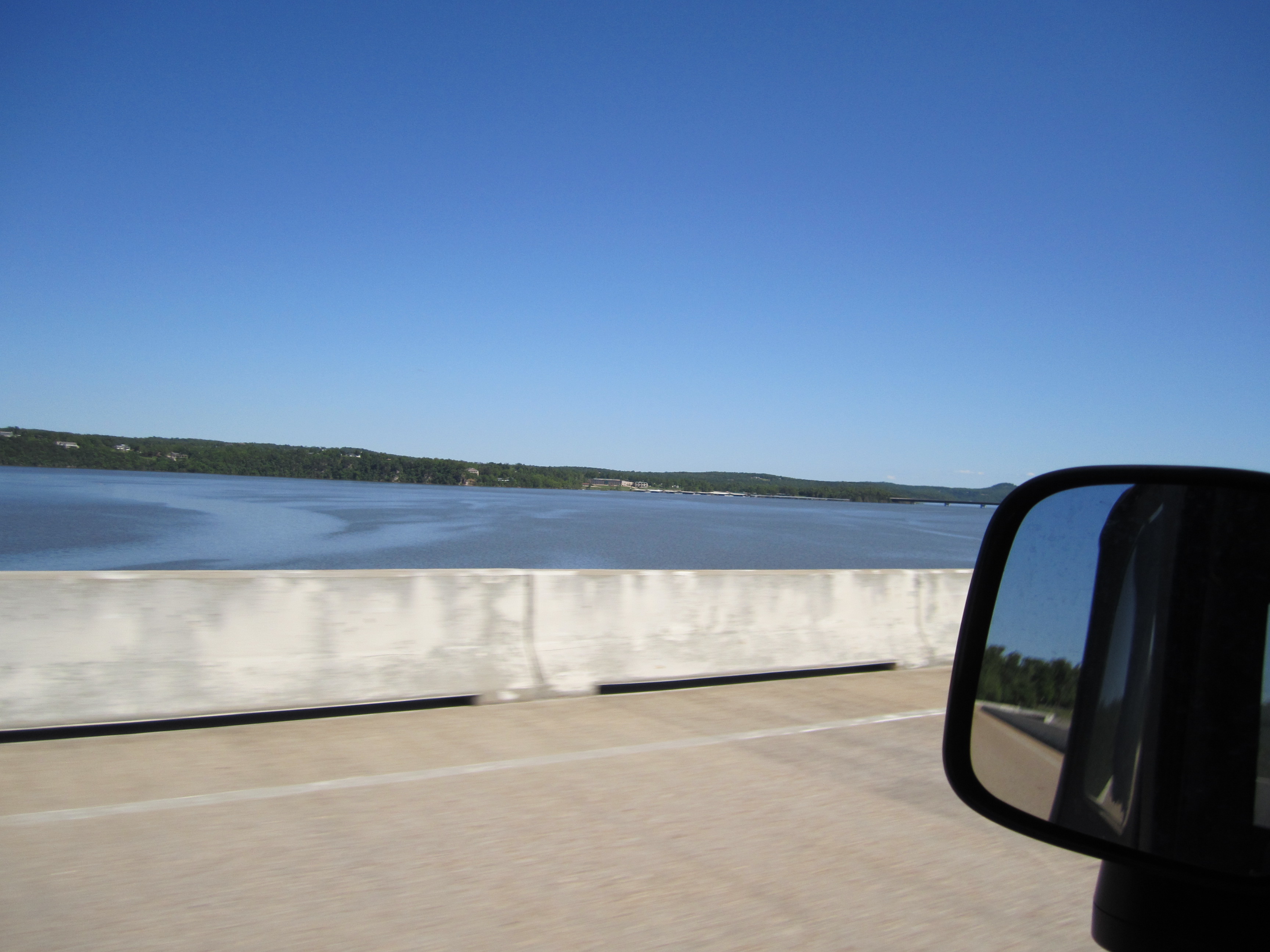
Crossing Norfork Lake

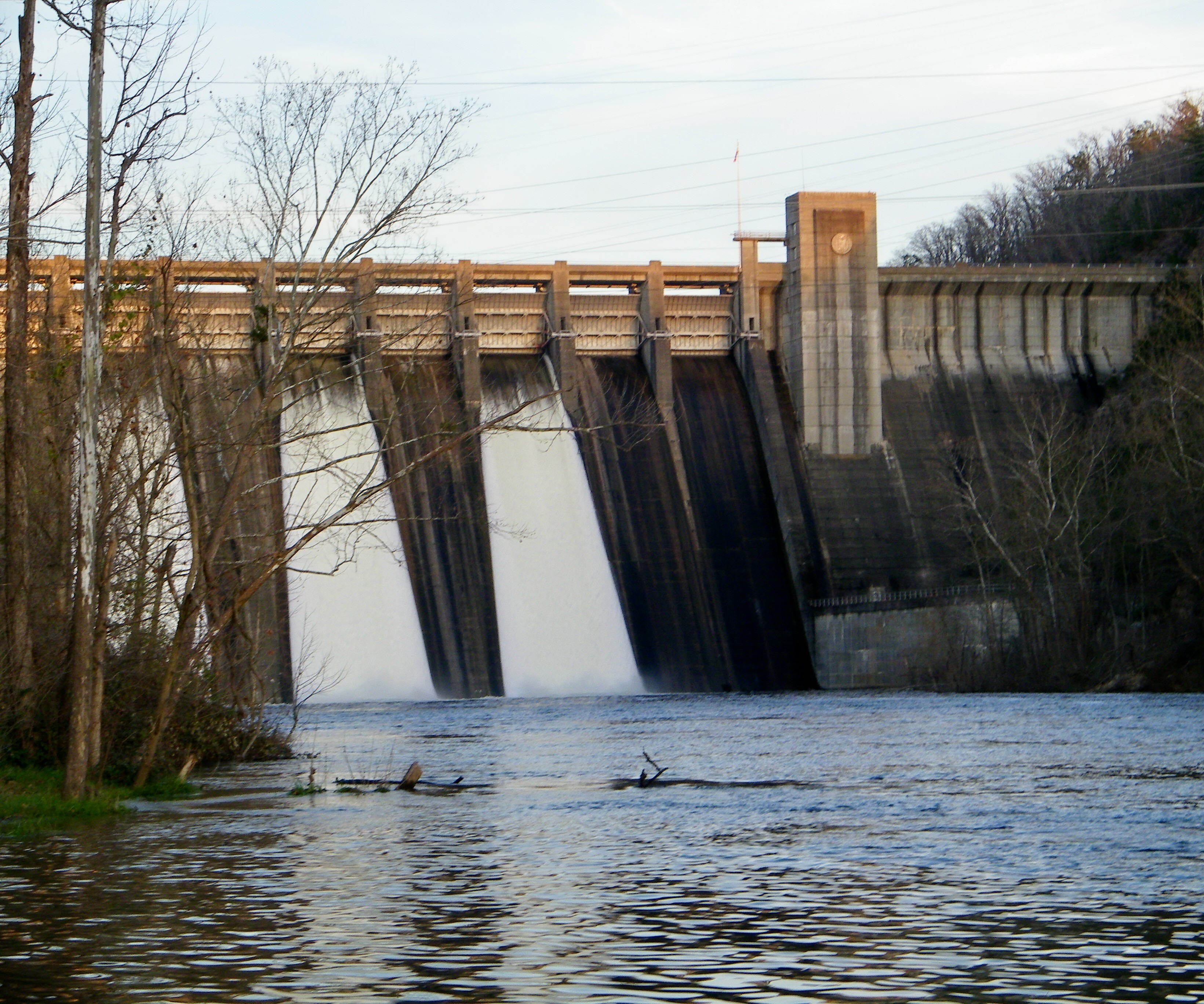
Norfork Dam-Arkansas
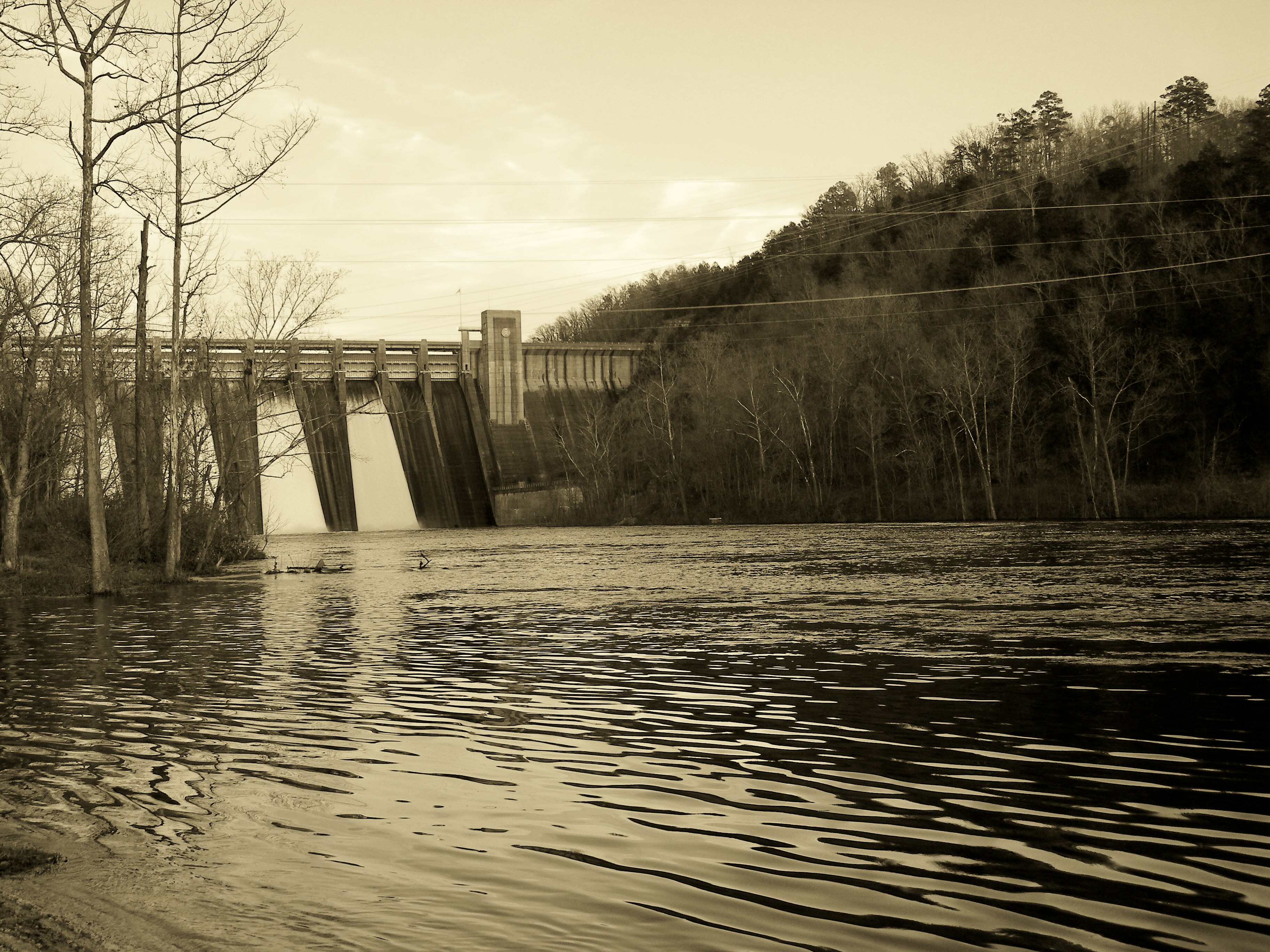
Norfork Dam-Arkansas

Rock Makes Splash 2

Rock Makes Splash 1
Norfork Dam-Arkansas

Norfork Dam-Arkansas

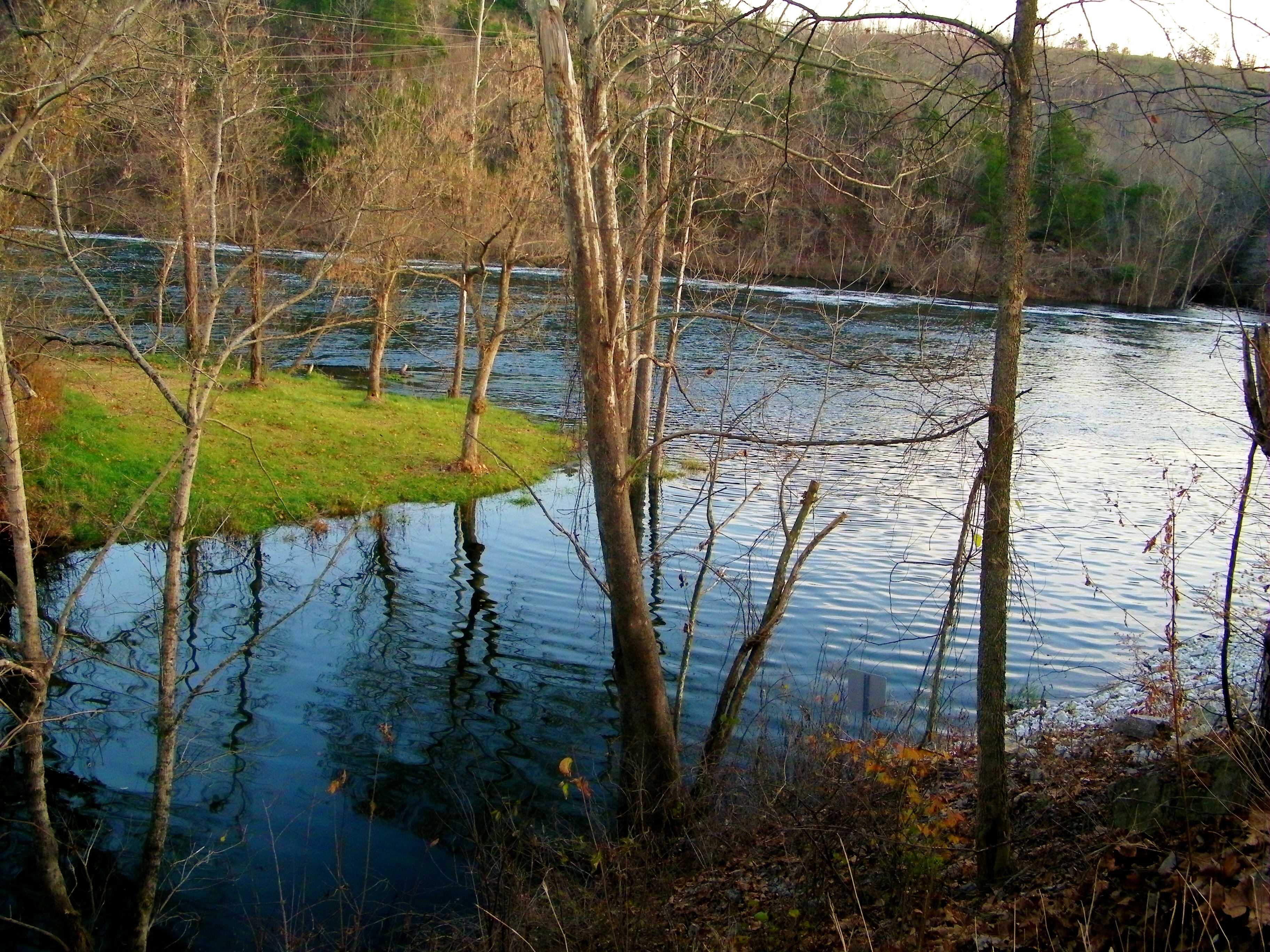
Peaceful Stream

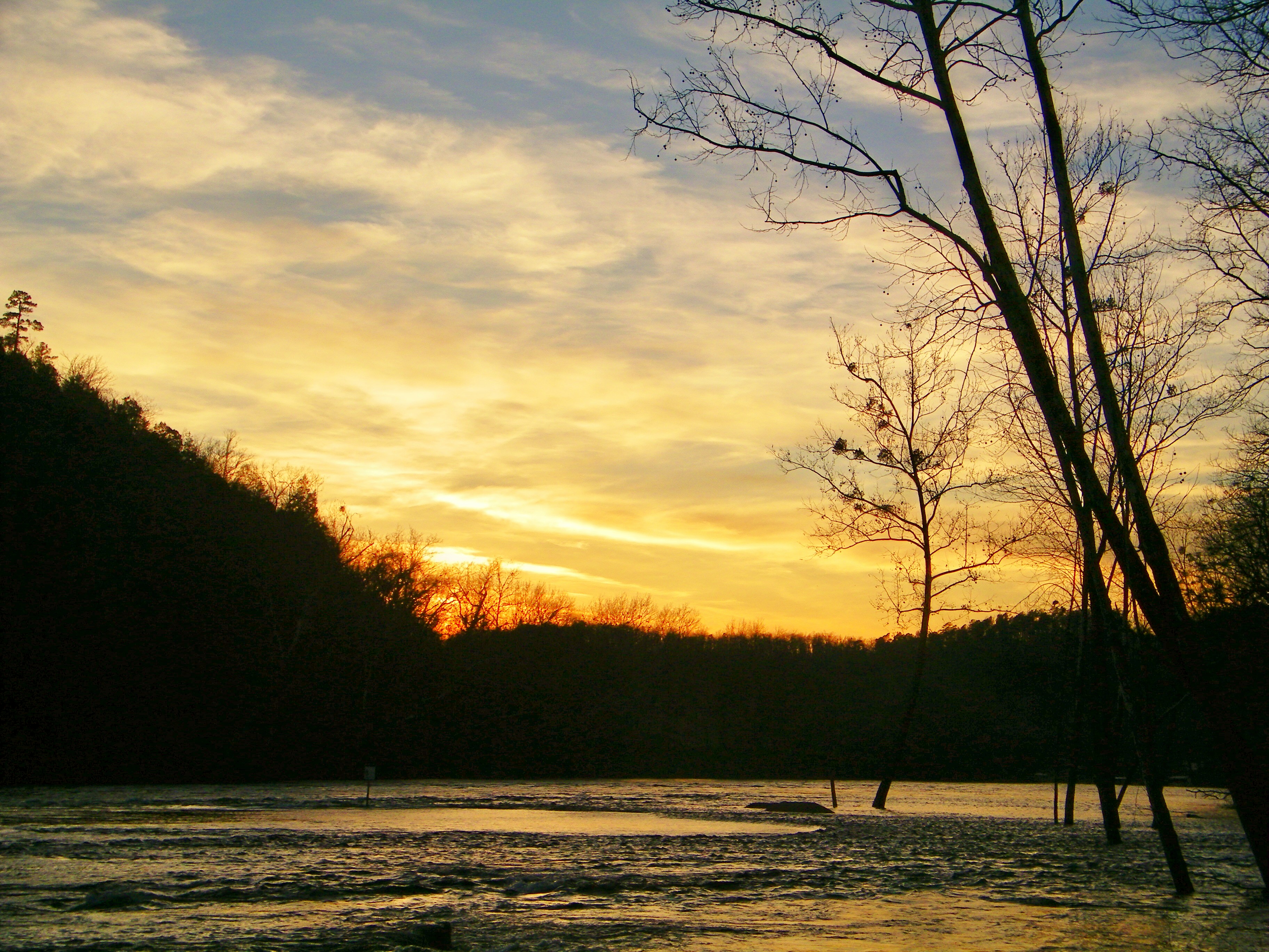
Another Excellent Spot

Stopping for a Smile
Norfork Dam-Arkansas

2014-08-23; Norfork Lake, Mountain Home AR. Continuing my trend of not having on swimwear when I go to bodies of water lol #lake #norfork #lakenorfork #norforklake #water #mountainhomear #mountainhome #arkansas
Norfork Dam-Arkansas
Topographic Map of Elizabeth, AR, USA
Find elevation by address:

Places in Elizabeth, AR, USA:
Places near Elizabeth, AR, USA:
Elizabeth Rd, Elizabeth, AR, USA
New Hope Township
Oxford
8 AR-9, Oxford, AR, USA
Benton Township
Pilot Hill Drive
3222 W Fairview Rd
3222 W Fairview Rd
3222 W Fairview Rd
3222 W Fairview Rd
3222 W Fairview Rd
3222 W Fairview Rd
3222 W Fairview Rd
W Church St, Salem, AR, USA
Salem Knob
Salem
4557-4661 Whipporwill Rd
4557-4661 Whipporwill Rd
284 Eagle Spring Trail
Cardinal Rd, Salem, AR, USA
Recent Searches:
- Elevation of Vista Blvd, Sparks, NV, USA
- Elevation of 15th Ave SE, St. Petersburg, FL, USA
- Elevation of Beall Road, Beall Rd, Florida, USA
- Elevation of Leguwa, Nepal
- Elevation of County Rd, Enterprise, AL, USA
- Elevation of Kolchuginsky District, Vladimir Oblast, Russia
- Elevation of Shustino, Vladimir Oblast, Russia
- Elevation of Lampiasi St, Sarasota, FL, USA
- Elevation of Elwyn Dr, Roanoke Rapids, NC, USA
- Elevation of Congressional Dr, Stevensville, MD, USA