Elevation map of Eleuthera, The Bahamas
Location: The Bahamas >
Longitude: -76.189966
Latitude: 24.9314461
Elevation: 14m / 46feet
Barometric Pressure: 101KPa
Elevation Map:
Satellite Map:
Related Photos:
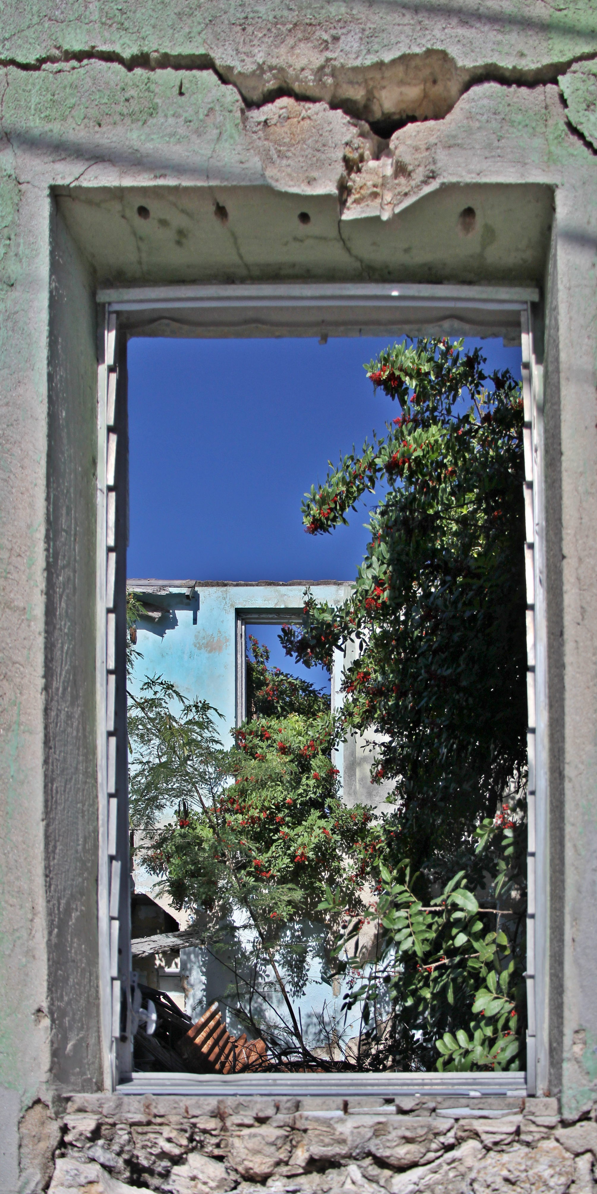
A Room with A View

Life is a Beach
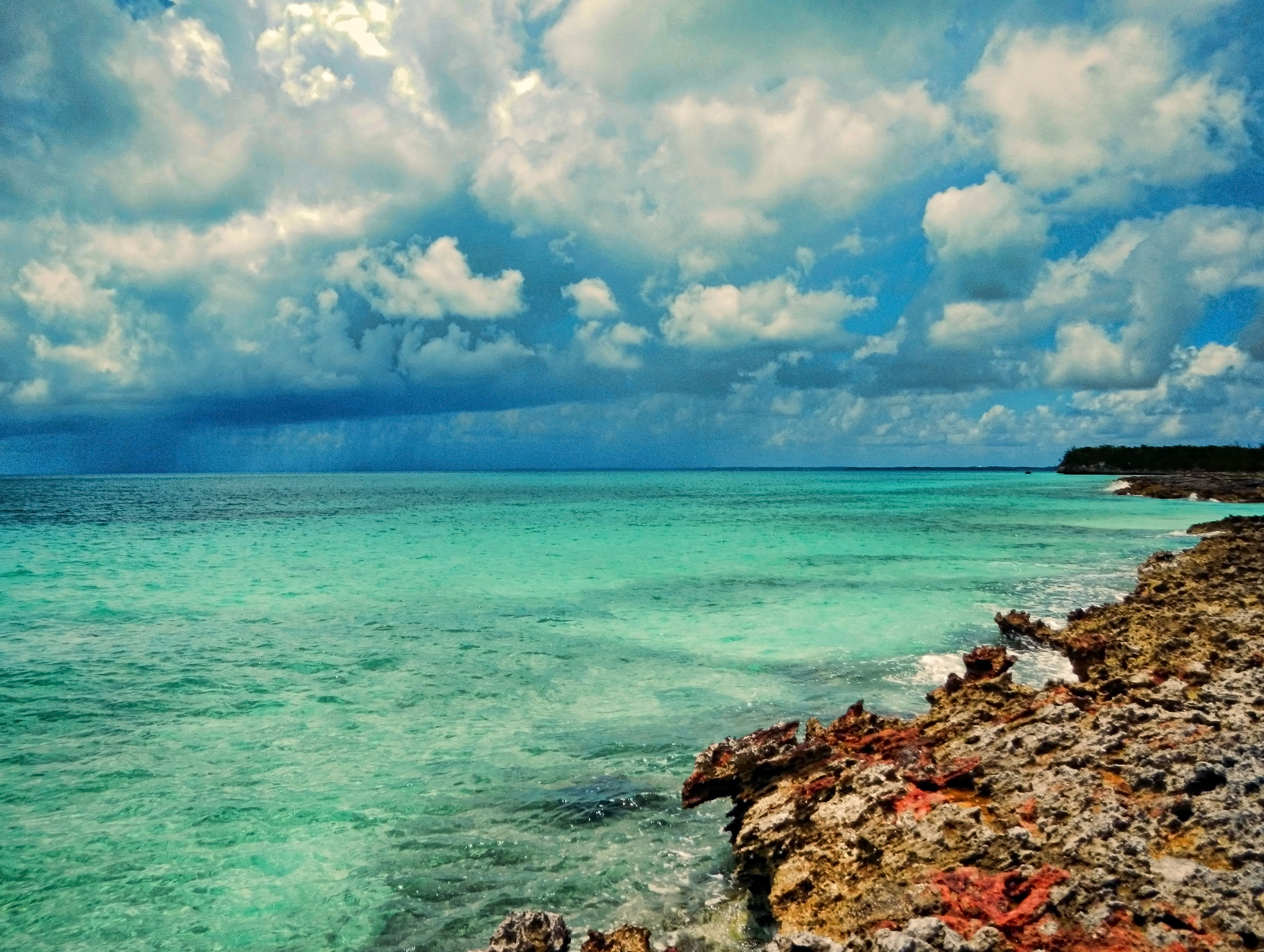
Storm Approaching on Eleuthera
Half Sound Bay Mouth
Passing Shower

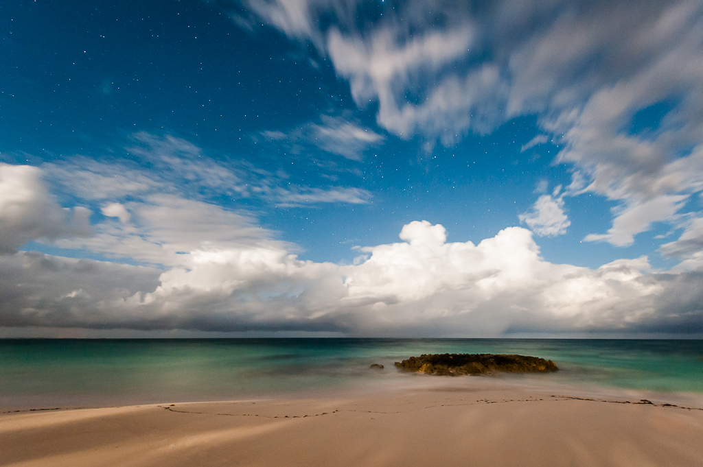
Beach, Eleuthera

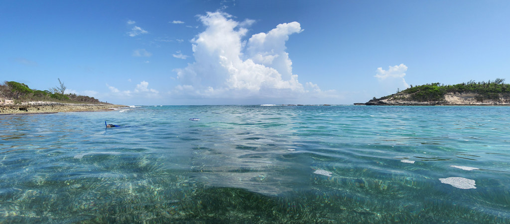
Crystal clear waters of Tarpum Bay on Eleuthera Island, Bahamas

Rock Sound, Eleuthera

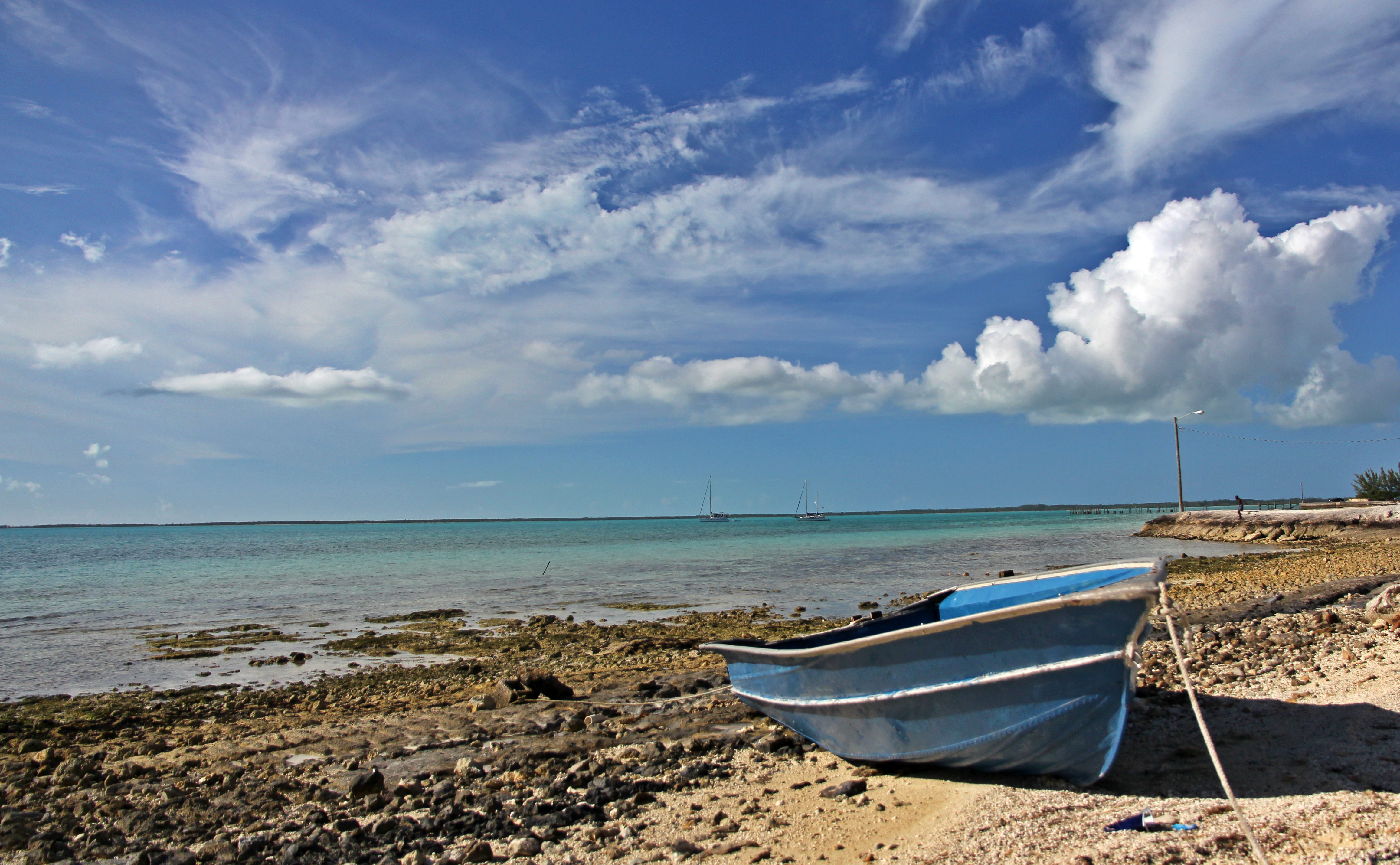
Colorful boat

PADDLEBOARDING SIGHTS????. . . SEE Many Mysterious and Intriguing NURSE SHARKS???? that Inhabit the Mangrove Islands????- 1 of 3 Protected Marine Ecosystems in the FLORIDA KEYS???? #paddleboardtour #excursion #allinclusive #keylargo #k

Bahama Woodstar- Female (Calliphlox evelynae) Colibrí de las Bahamas - Endemic
Blue, Bluer, Bluest

Bahamian Rhapsody
Topographic Map of Eleuthera, The Bahamas
Find elevation by address:

Places near Eleuthera, The Bahamas:
Ten Bay Beach
Central Eleuthera
North Palmetto Point
Banks Road
Tippy's Restaurant And Beachside Bar
French Leave Resort, Autograph Collection
Bahama Islands
Gaulin Cay
Wild Tamarind
Camperdown
Pigeon Pea
Fort Montagu
Paradise Island
Sunrise Beach Club
Antiquities Monuments & Museums Corporation
Queen's Staircase
The Water Tower
Forte Fincastle
Recent Searches:
- Elevation of Corso Fratelli Cairoli, 35, Macerata MC, Italy
- Elevation of Tallevast Rd, Sarasota, FL, USA
- Elevation of 4th St E, Sonoma, CA, USA
- Elevation of Black Hollow Rd, Pennsdale, PA, USA
- Elevation of Oakland Ave, Williamsport, PA, USA
- Elevation of Pedrógão Grande, Portugal
- Elevation of Klee Dr, Martinsburg, WV, USA
- Elevation of Via Roma, Pieranica CR, Italy
- Elevation of Tavkvetili Mountain, Georgia
- Elevation of Hartfords Bluff Cir, Mt Pleasant, SC, USA