Elevation of El Parral, Chis., Mexico
Location: Mexico > Chiapas > Villa Corzo >
Longitude: -93.004043
Latitude: 16.3662244
Elevation: 654m / 2146feet
Barometric Pressure: 94KPa
Elevation Map:
Satellite Map:
Related Photos:
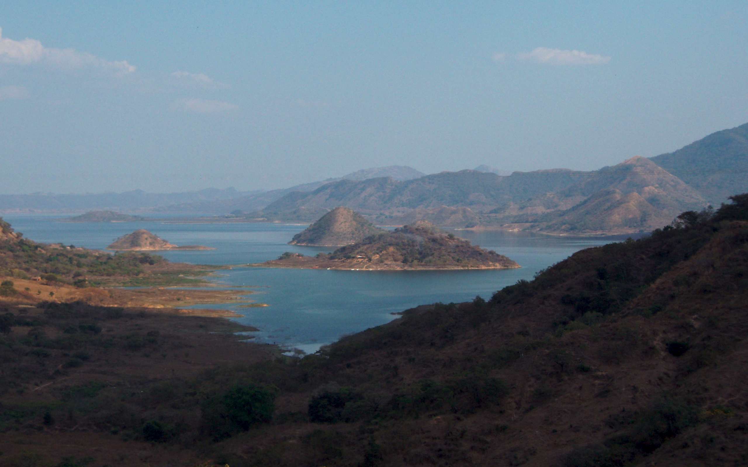
Presa cerca de Las Maravillas, Distrito Villa Corzo, Chiapas, Mexico

2/365 Nacimiento
Topographic Map of El Parral, Chis., Mexico
Find elevation by address:

Places in El Parral, Chis., Mexico:
Places near El Parral, Chis., Mexico:
Primera Avenida Nte. Pte., El Parral, El Parral, Chis., Mexico
El Parral
Central 14, Villa Hidalgo, Chis., Mexico
Villa Hidalgo
Ángel Albino Corzo International Airport
Villaflores
Villa Corzo
Tenochtitlán
Segunda Avenida Nte. Ote., Tenochtitlán, Chis., Mexico
Tuxtla Gutiérrez
Tuxtla Gutiérrez
Chiapas
Ixtapa
Jastic
2b
Sumidero Canyon
Berriozábal
El Paraíso
Escolar Juan Sabines Gutiérrez, El Paraíso, San Fernando, Chis., Mexico
Ocozocoautla De Espinosa
Recent Searches:
- Elevation of W Granada St, Tampa, FL, USA
- Elevation of Pykes Down, Ivybridge PL21 0BY, UK
- Elevation of Jalan Senandin, Lutong, Miri, Sarawak, Malaysia
- Elevation of Bilohirs'k
- Elevation of 30 Oak Lawn Dr, Barkhamsted, CT, USA
- Elevation of Luther Road, Luther Rd, Auburn, CA, USA
- Elevation of Unnamed Road, Respublika Severnaya Osetiya — Alaniya, Russia
- Elevation of Verkhny Fiagdon, North Ossetia–Alania Republic, Russia
- Elevation of F. Viola Hiway, San Rafael, Bulacan, Philippines
- Elevation of Herbage Dr, Gulfport, MS, USA