Elevation of El Camino Real, Palo Alto, CA, USA
Location: United States > California > Santa Clara County > Palo Alto >
Longitude: -122.15918
Latitude: 37.4385004
Elevation: 17m / 56feet
Barometric Pressure: 101KPa
Elevation Map:
Satellite Map:
Related Photos:
Egret Strut

Gnarled Oak

Seed Pods

IMG_1380 Let Me Feed You, Honey.
Four In One

IMG_5922 Forster's Tern Hovering, Mountain View Shoreline Park, California

IMG_3580 Black-Crowned Night Heron

IMG_0173 Here I Come! Mountain View Shoreline Park, CA
Fish On
Shadow Bike

Break Chairs

Cone Drips

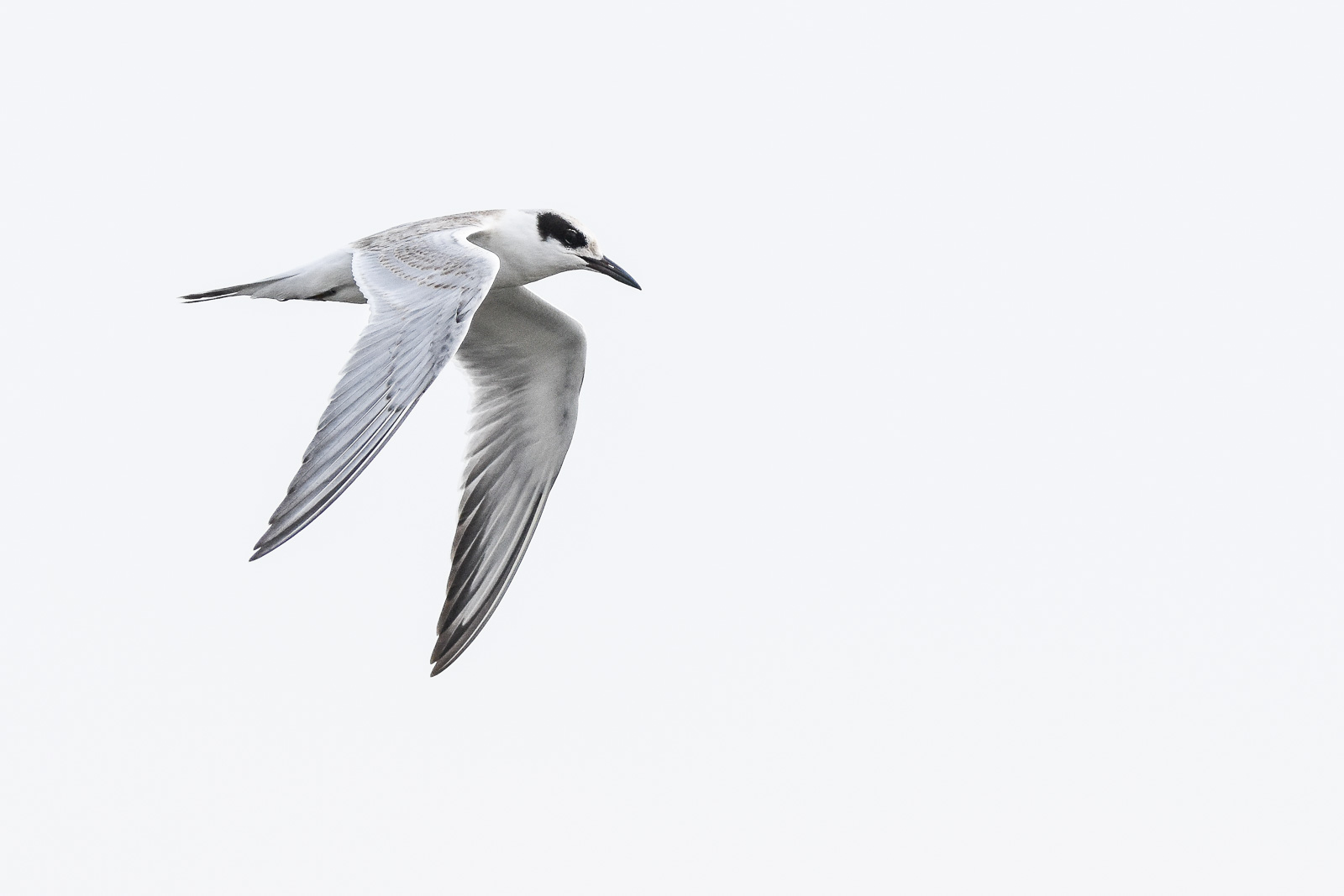
Proficient dive bomber - Forster's Tern
Forster's Tern (1st year)
Wheels Up

DSC01246.JPG

Sunset View

IMG_6686 Great Egret, Mountain View Shoreline Park, CA

Red On Purple

Barn Swallow (immature)

Green Heron (1st summer)

Heavenly shades of night are falling, it's twilight time ...

Heavenly Shades of Night are Falling -- Reprise

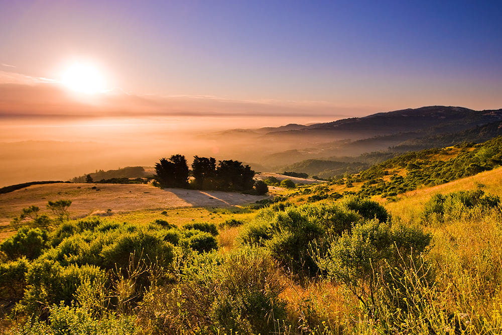
Fields of Gold

Door of opportunities :)

Home on the Farm

Arastradero Pasture

~~Garden of PEACE #2~~
Yesterday afternoon stroll.

DSC00963.JPG

Alle Fotos-58

Closing Time
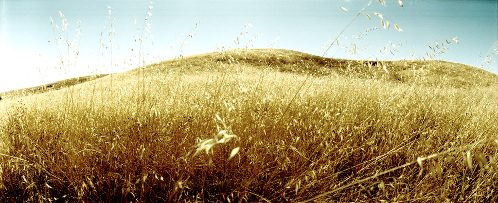
grassy hill

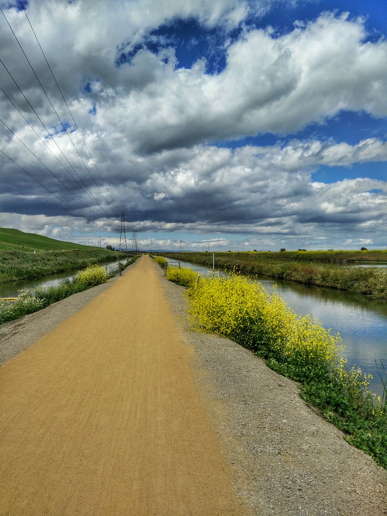
April Skies | Palo Alto
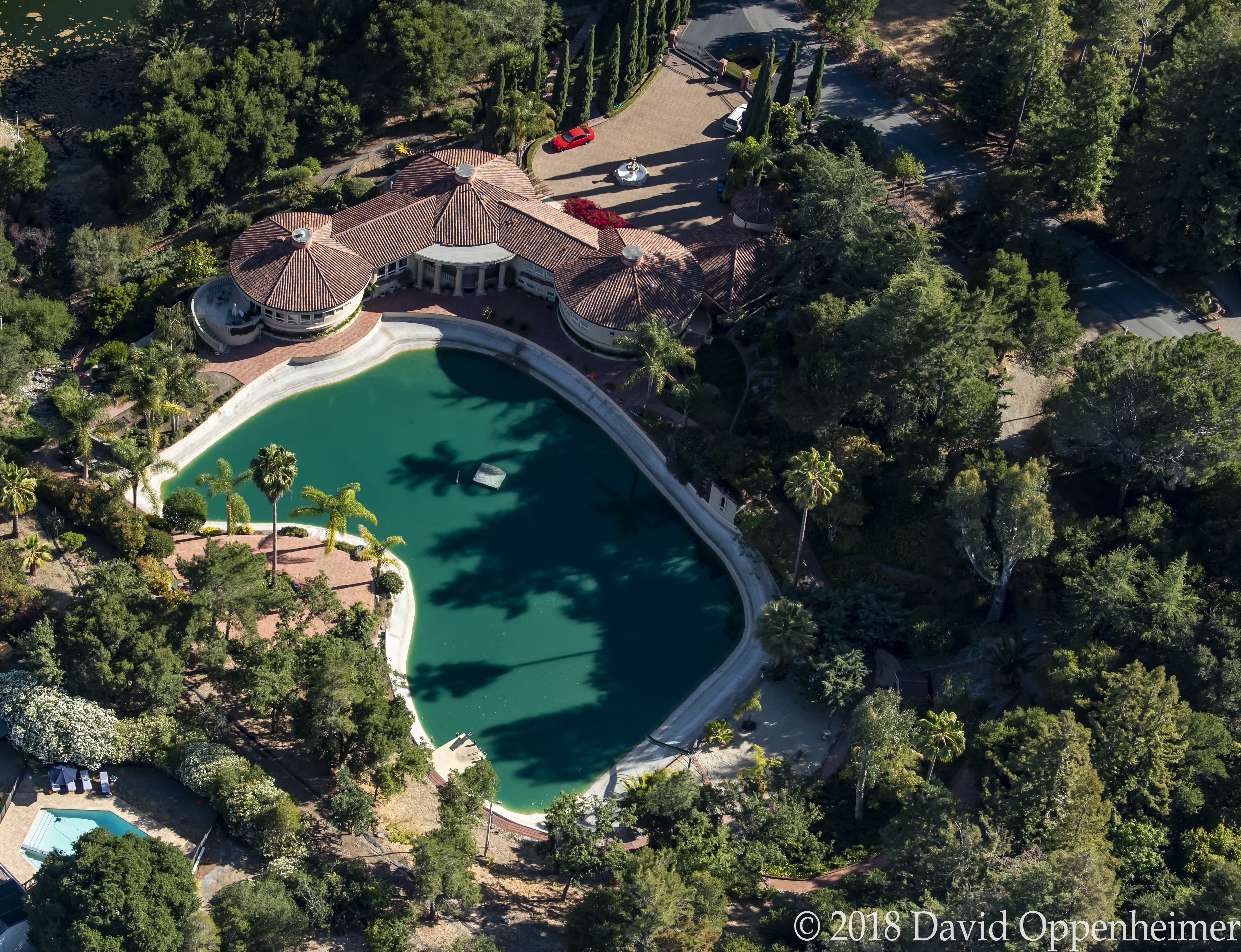
Luxury Real Estate at 12500 Corbetta Lane Los Altos Hills California
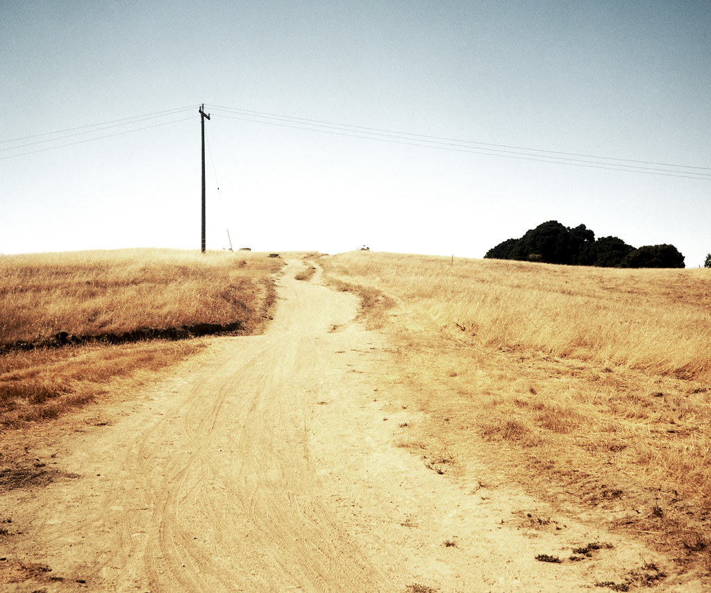
trail uphill

Stanford and Palo Alto

hwy 280

Tree in Yellow Field
Cotoye Hills Regional Park 11.jpg

Mustard field
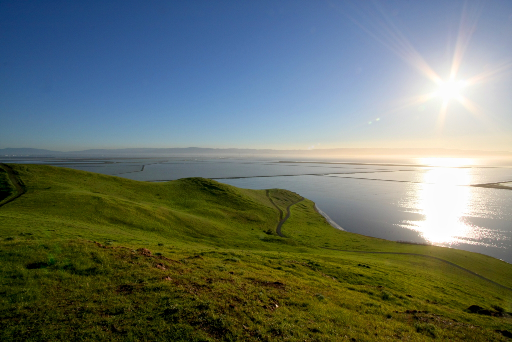
Skyline Sunrise
Topographic Map of El Camino Real, Palo Alto, CA, USA
Find elevation by address:

Places near El Camino Real, Palo Alto, CA, USA:
100 Kellogg Ave
1523 Portola Ave
Southgate
1431 Waverley St
729 Escondido Rd
Alma Street
252 Stanford Ave
Old Palo Alto
Mirrielees House
Stanford
2100 El Camino Real
College Terrace
College Ave, Palo Alto, CA, USA
Evergreen Park
701 Tennyson Ave
1235 College Ave
2455 El Camino Real
2583 Park Blvd
550 N California Ave
395 Page Mill Rd
Recent Searches:
- Elevation of Beall Road, Beall Rd, Florida, USA
- Elevation of Leguwa, Nepal
- Elevation of County Rd, Enterprise, AL, USA
- Elevation of Kolchuginsky District, Vladimir Oblast, Russia
- Elevation of Shustino, Vladimir Oblast, Russia
- Elevation of Lampiasi St, Sarasota, FL, USA
- Elevation of Elwyn Dr, Roanoke Rapids, NC, USA
- Elevation of Congressional Dr, Stevensville, MD, USA
- Elevation of Bellview Rd, McLean, VA, USA
- Elevation of Stage Island Rd, Chatham, MA, USA