Elevation of Edwards County, IL, USA
Location: United States > Illinois >
Longitude: -88.050979
Latitude: 38.4267827
Elevation: 145m / 476feet
Barometric Pressure: 100KPa
Elevation Map:
Satellite Map:
Related Photos:

Edwards County Lanes
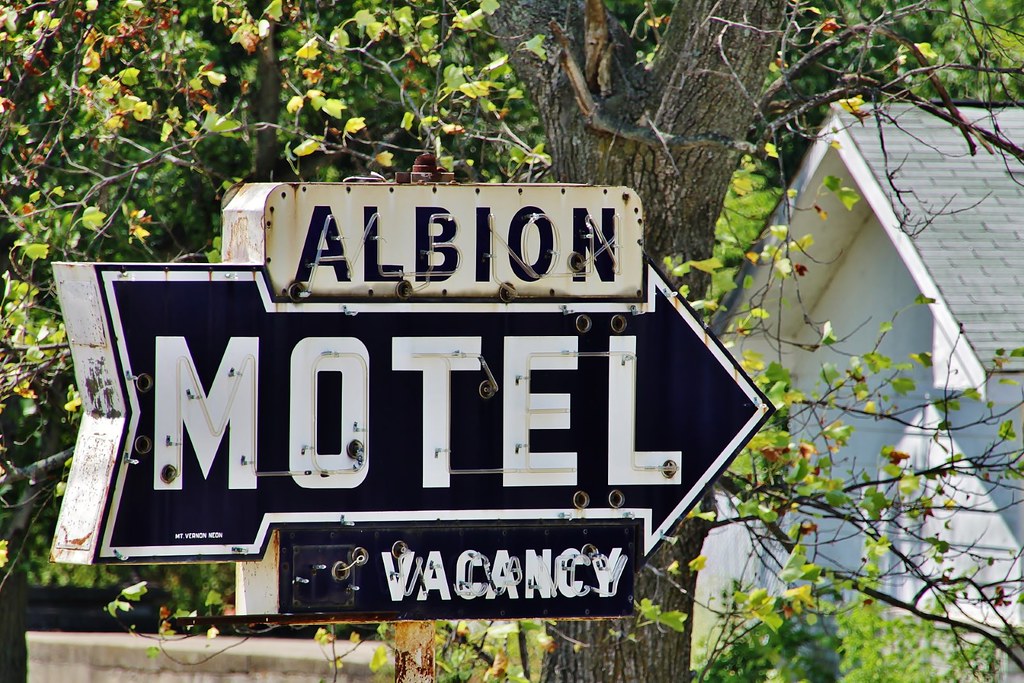
Albion Motel - Albion, Illinois

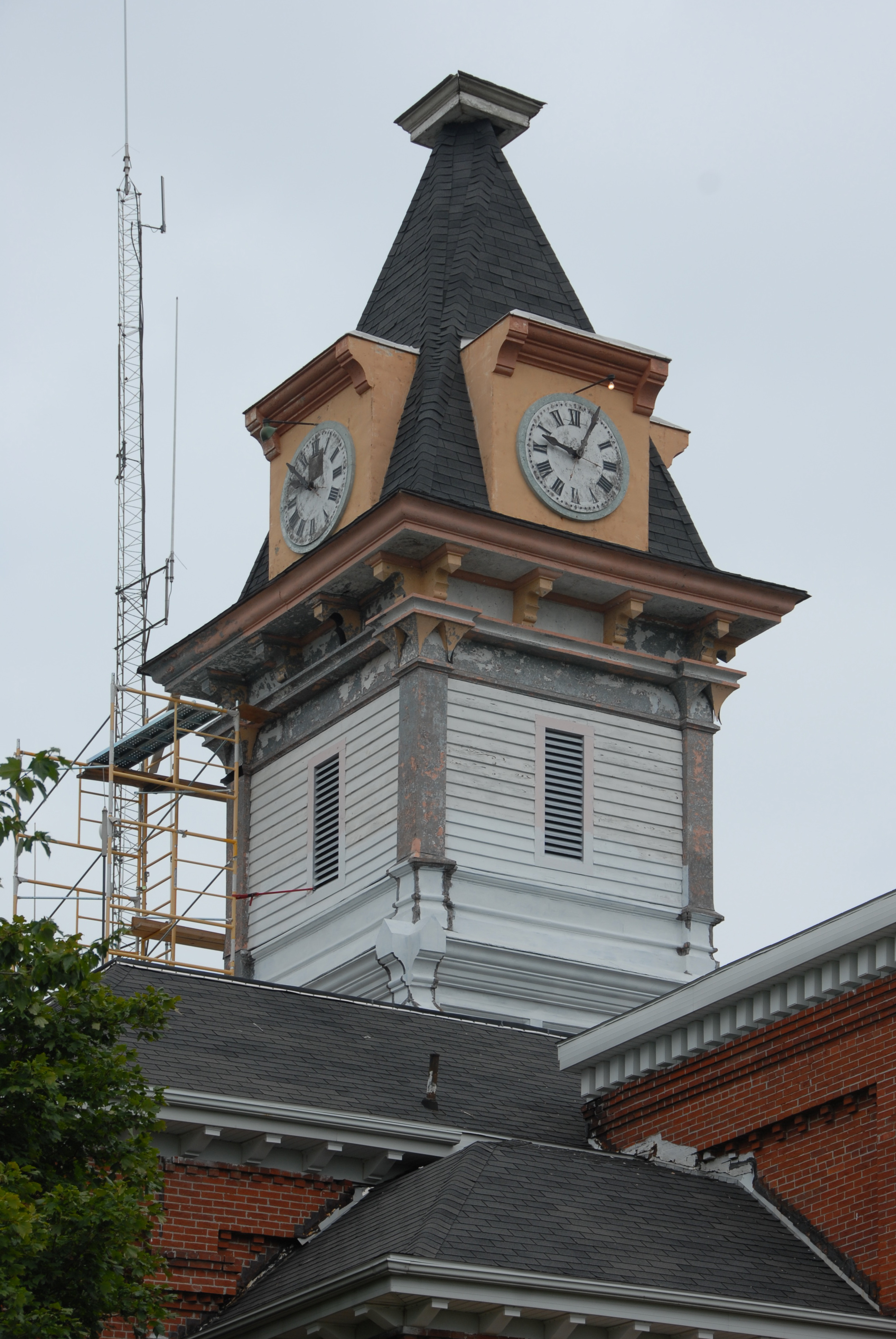
Edwards County Courthouse (Albion, Illinois)

Edwards County Courthouse (Albion, Illinois)
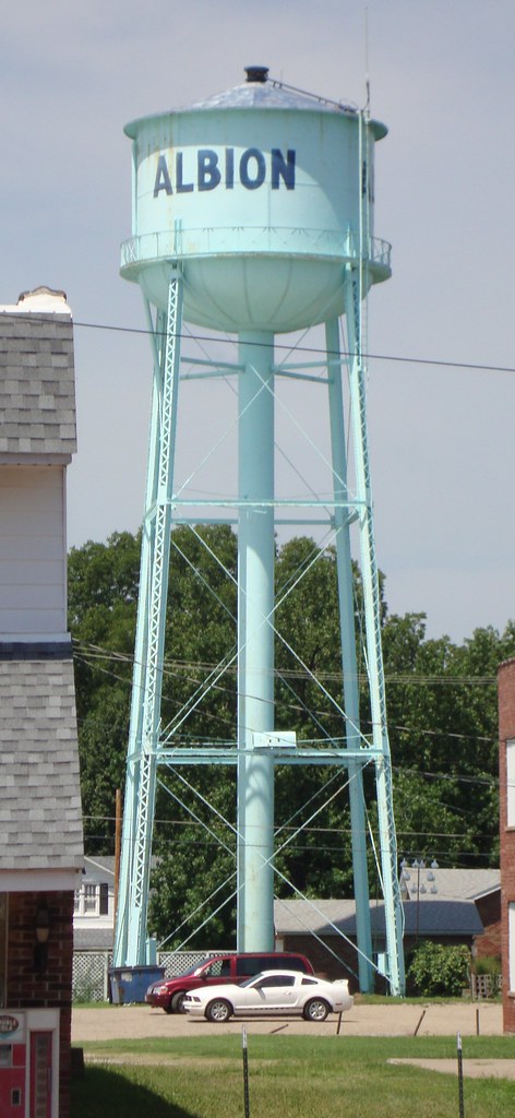
Albion, Illinois Water Tower
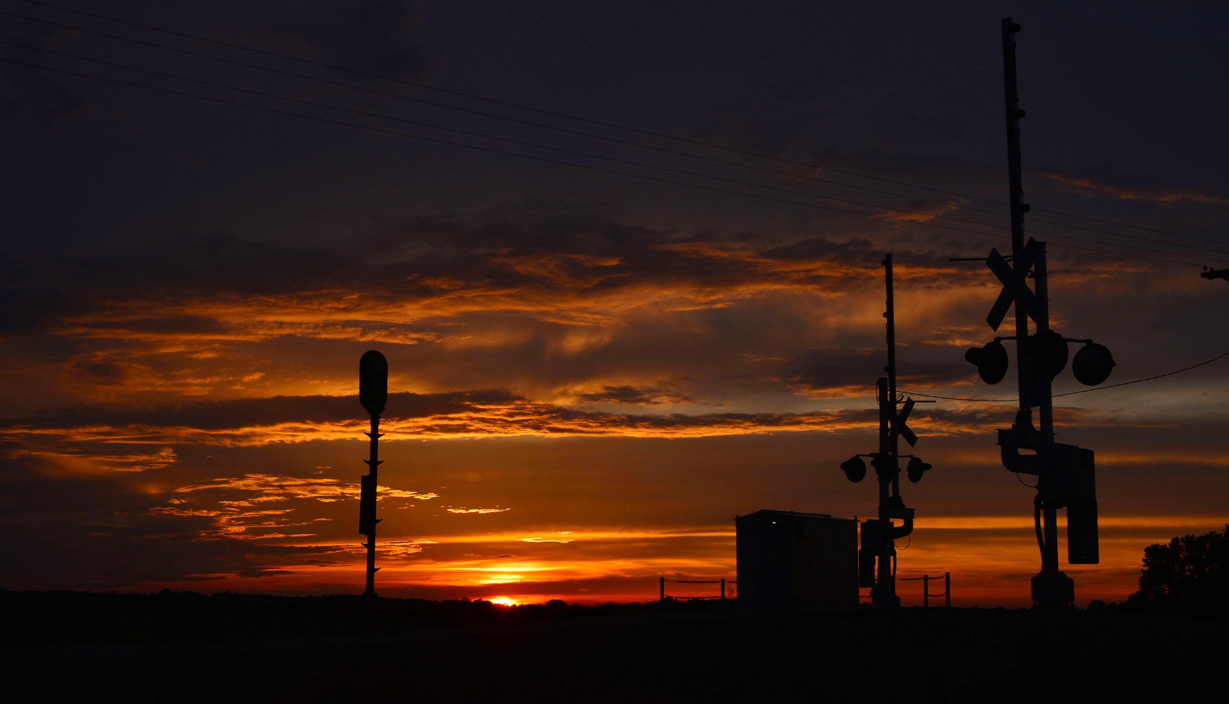
A Southern Illinois Sunset

Snapseed photo edits via iPhone 6
EDWARDS_DSC_1715 copy
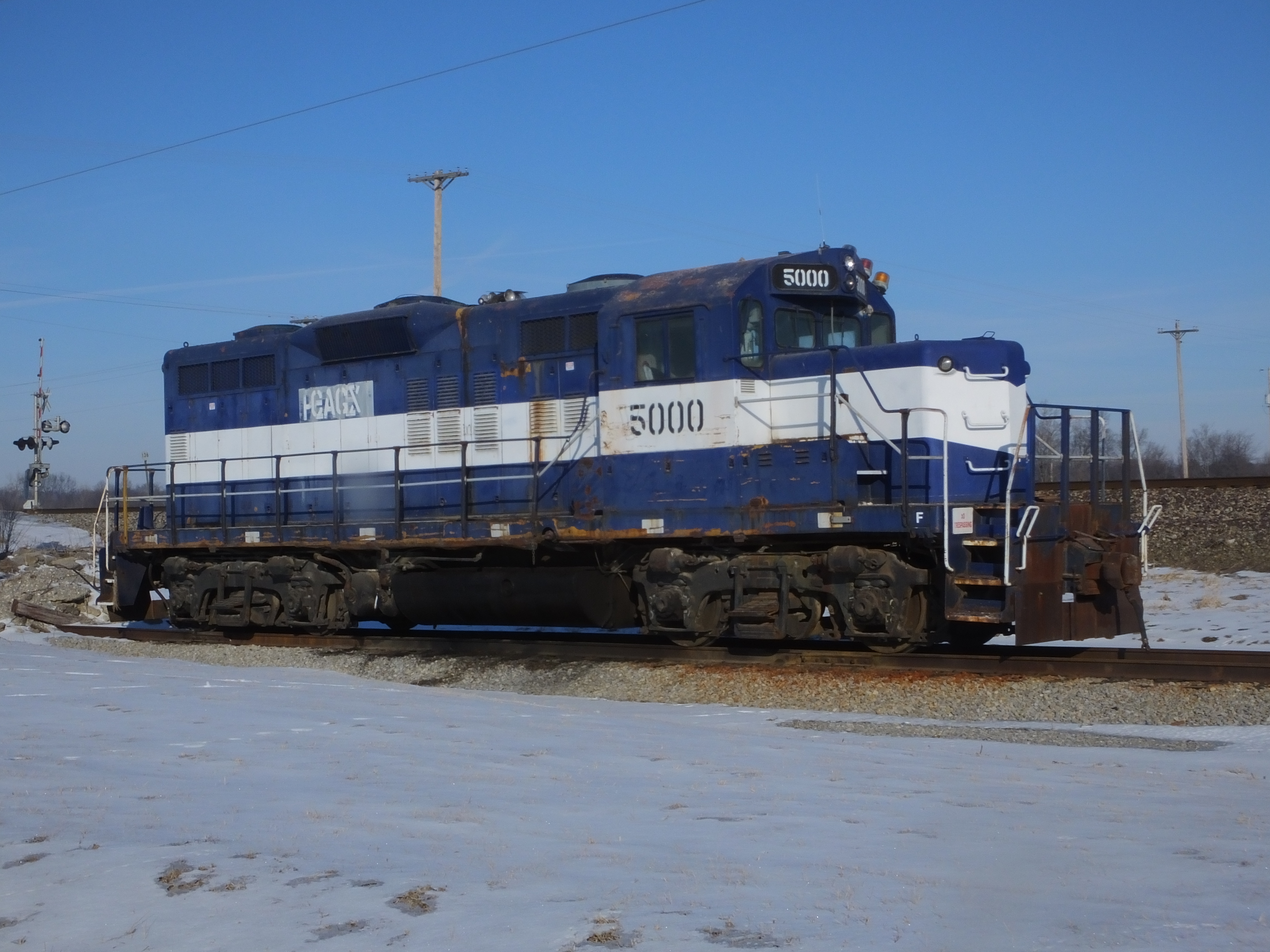
Con-Agra 5000 2/12/2014
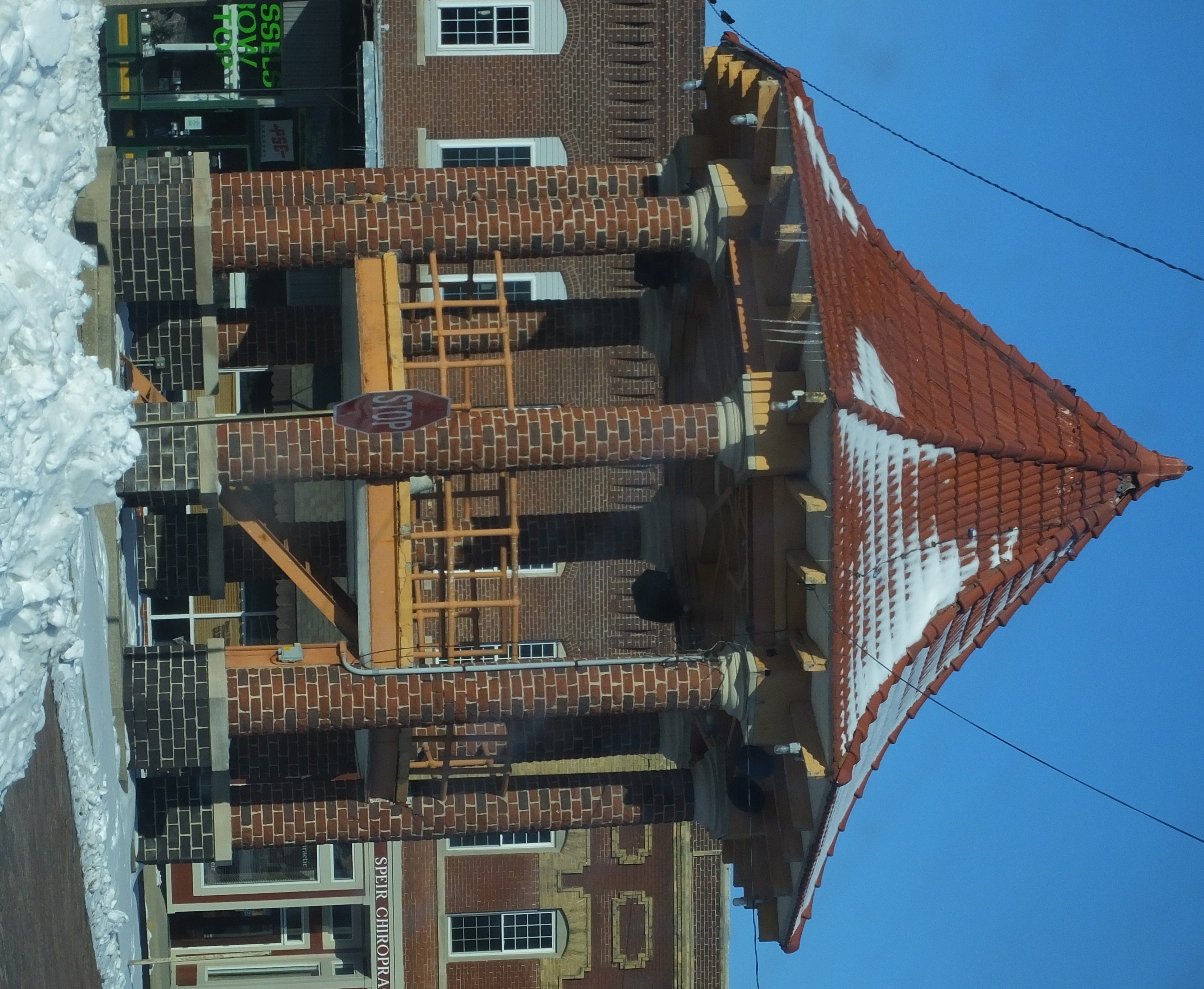
Gazebo 2/12/2014

Con-Agra 5000 2/12/2014

Con-Agra 5000 2/12/2014
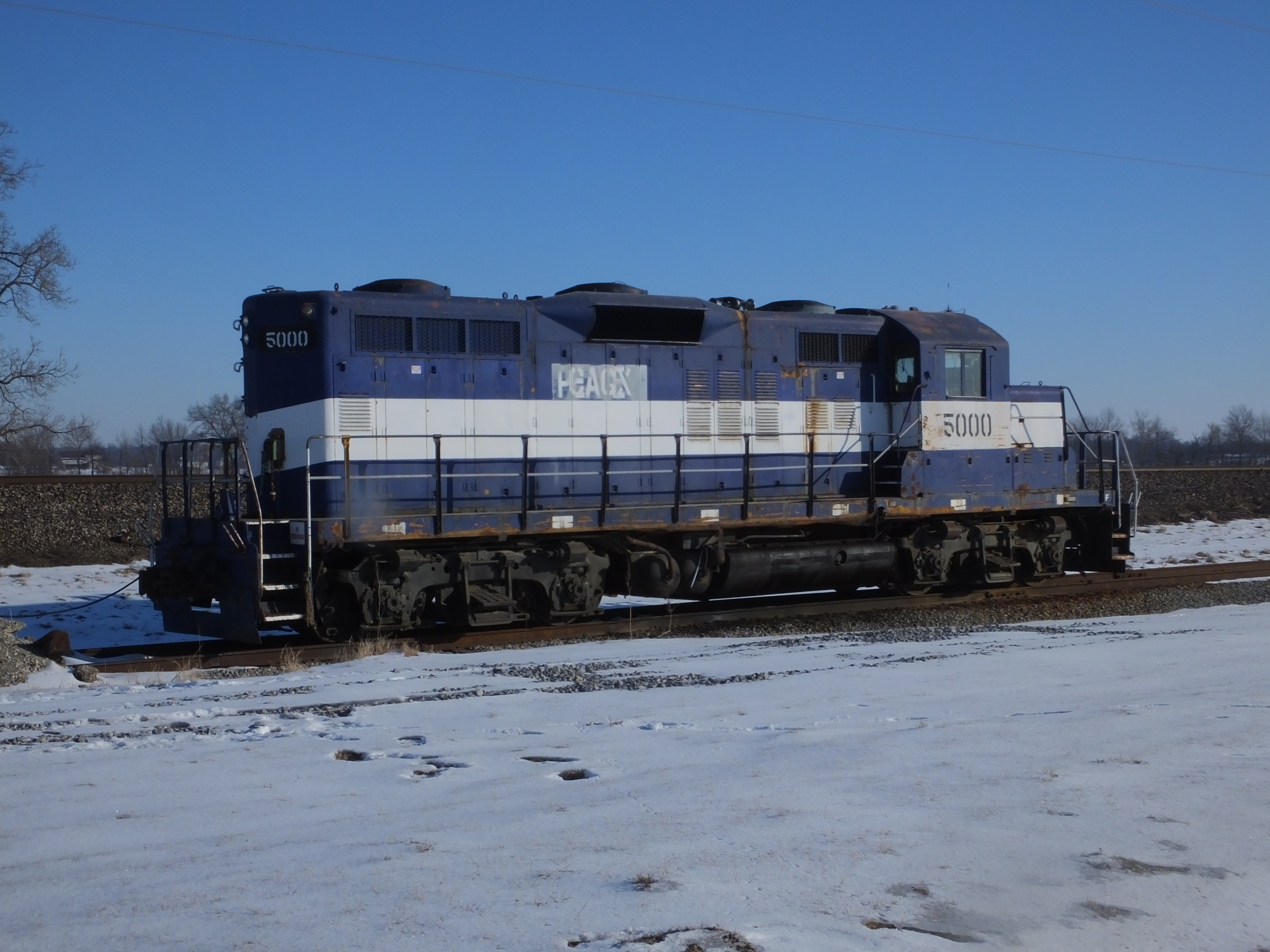
Con-Agra 5000 2/12/2014

Con-Agra 5000 2/12/2014

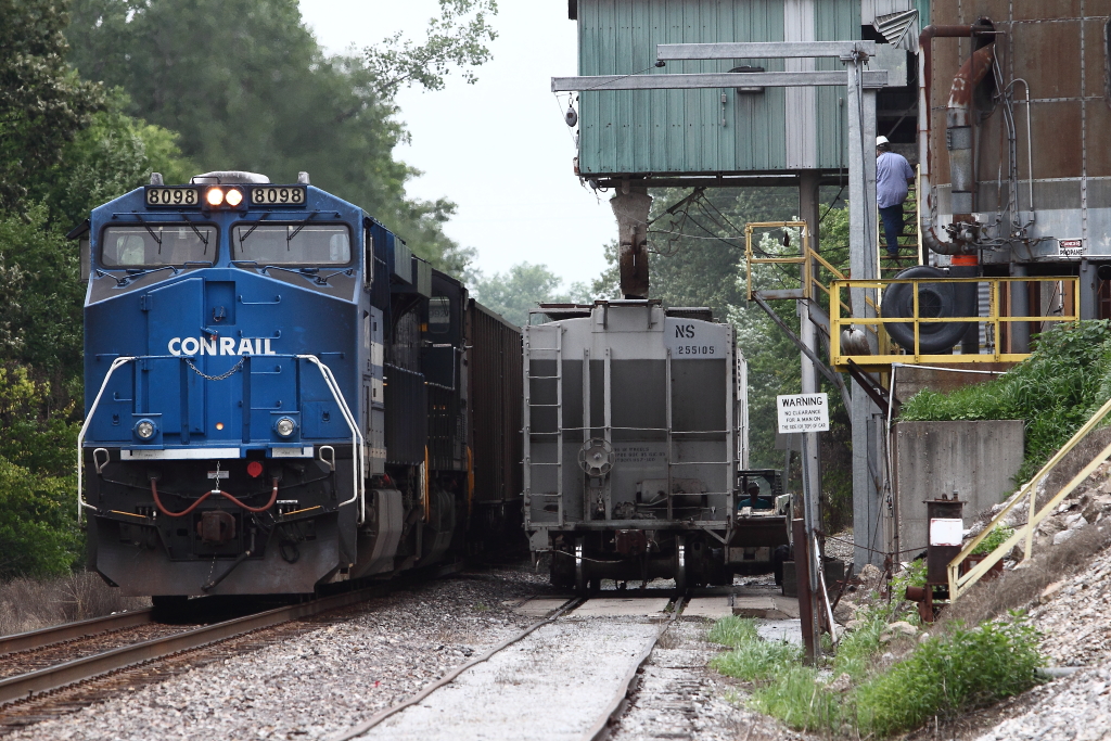
NS 8098 796 7-13-2013 Golden Gate IL MP 126.9
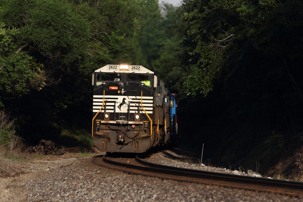
NS 2622 168 7-14-2013 Albion IL MP 134.4_1
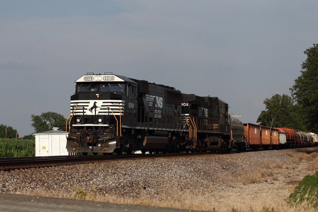
NS 6919 375 7-17-2013 Golden Gate IL MP 128
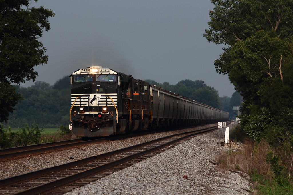
NS 7525 46G 8-18-2013 Golden Gate IL MP 126.9

UP 8556 224 8-21-2013 Golden Gate IL MP 128
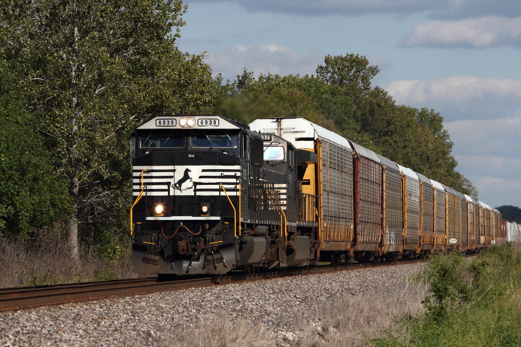
NS 6939 375 9-21-2013 Golden Gate IL MP 126.9
NS 8098 797 7-5-2013 Golden Gate IL MP 126

NS 9430 112 Golden Gate IL 27 Jul 2012
Topographic Map of Edwards County, IL, USA
Find elevation by address:

Places near Edwards County, IL, USA:
Leech Township
Parkersburg
W Locust St, Parkersburg, IL, USA
Golden Gate
Mount Erie Township
Madison Township
Main St, Mt Erie, IL, USA
Mount Erie
County Road 1250n
County Road 1250n
Wabash County
Jasper Township
Mount Carmel
2 N Main St, Griffin, IN, USA
Griffin
Crossville
Elliott St, Crossville, IL, USA
Grover Township
Phillips Township
Griffin Rd, Griffin, IN, USA
Recent Searches:
- Elevation of Corso Fratelli Cairoli, 35, Macerata MC, Italy
- Elevation of Tallevast Rd, Sarasota, FL, USA
- Elevation of 4th St E, Sonoma, CA, USA
- Elevation of Black Hollow Rd, Pennsdale, PA, USA
- Elevation of Oakland Ave, Williamsport, PA, USA
- Elevation of Pedrógão Grande, Portugal
- Elevation of Klee Dr, Martinsburg, WV, USA
- Elevation of Via Roma, Pieranica CR, Italy
- Elevation of Tavkvetili Mountain, Georgia
- Elevation of Hartfords Bluff Cir, Mt Pleasant, SC, USA