Elevation of Edinburg, IL, USA
Location: United States > Illinois > Christian County > Buckhart Township >
Longitude: -89.389533
Latitude: 39.6572697
Elevation: 179m / 587feet
Barometric Pressure: 99KPa
Elevation Map:
Satellite Map:
Related Photos:

DSC_2159.JPG

Union Block, Taylorville, Illinois

Photo Sep 04, 7 19 54 PM

Photo Sep 04, 7 22 24 PM

sunset 2

Baltimore Oriole

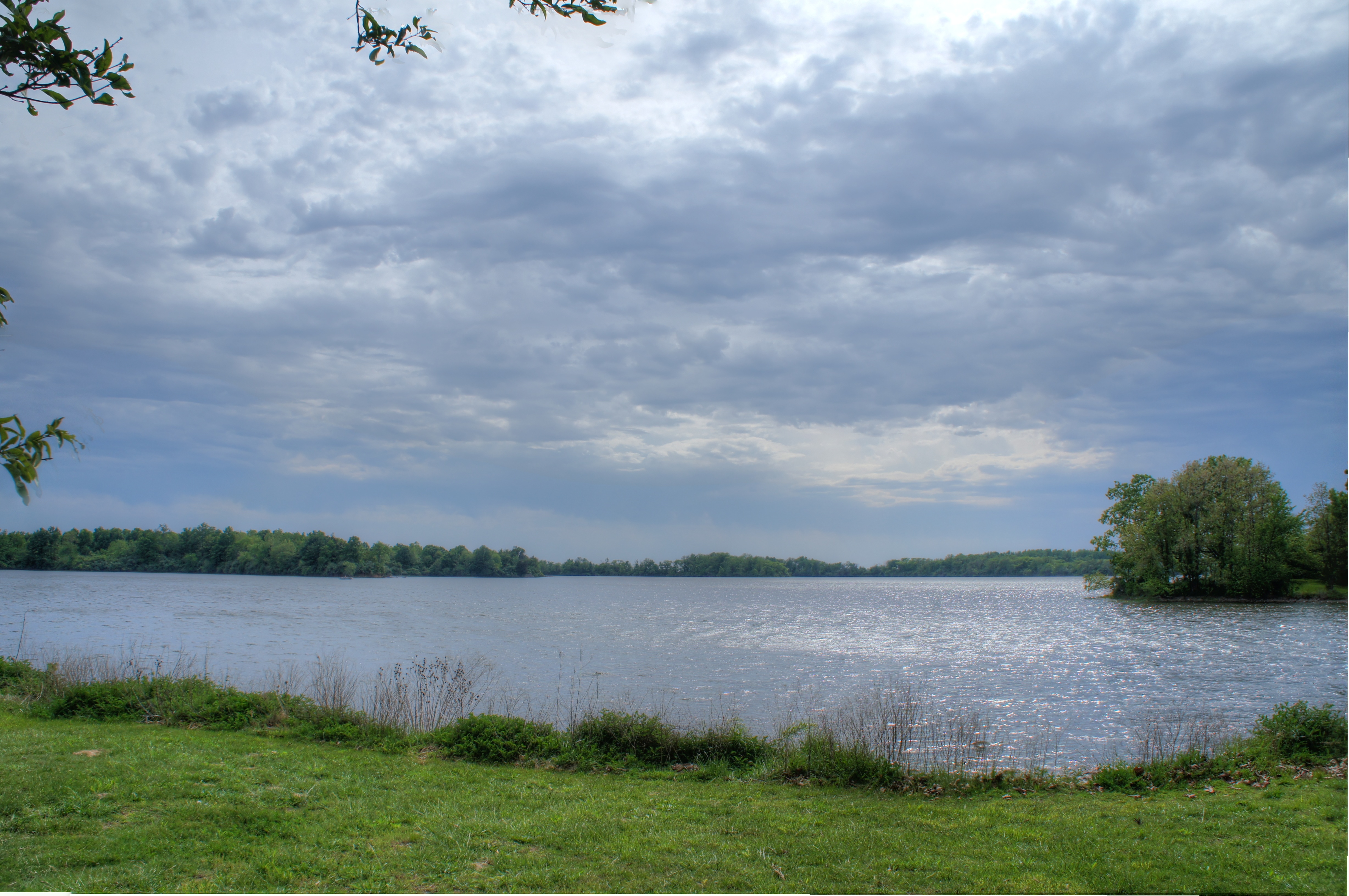
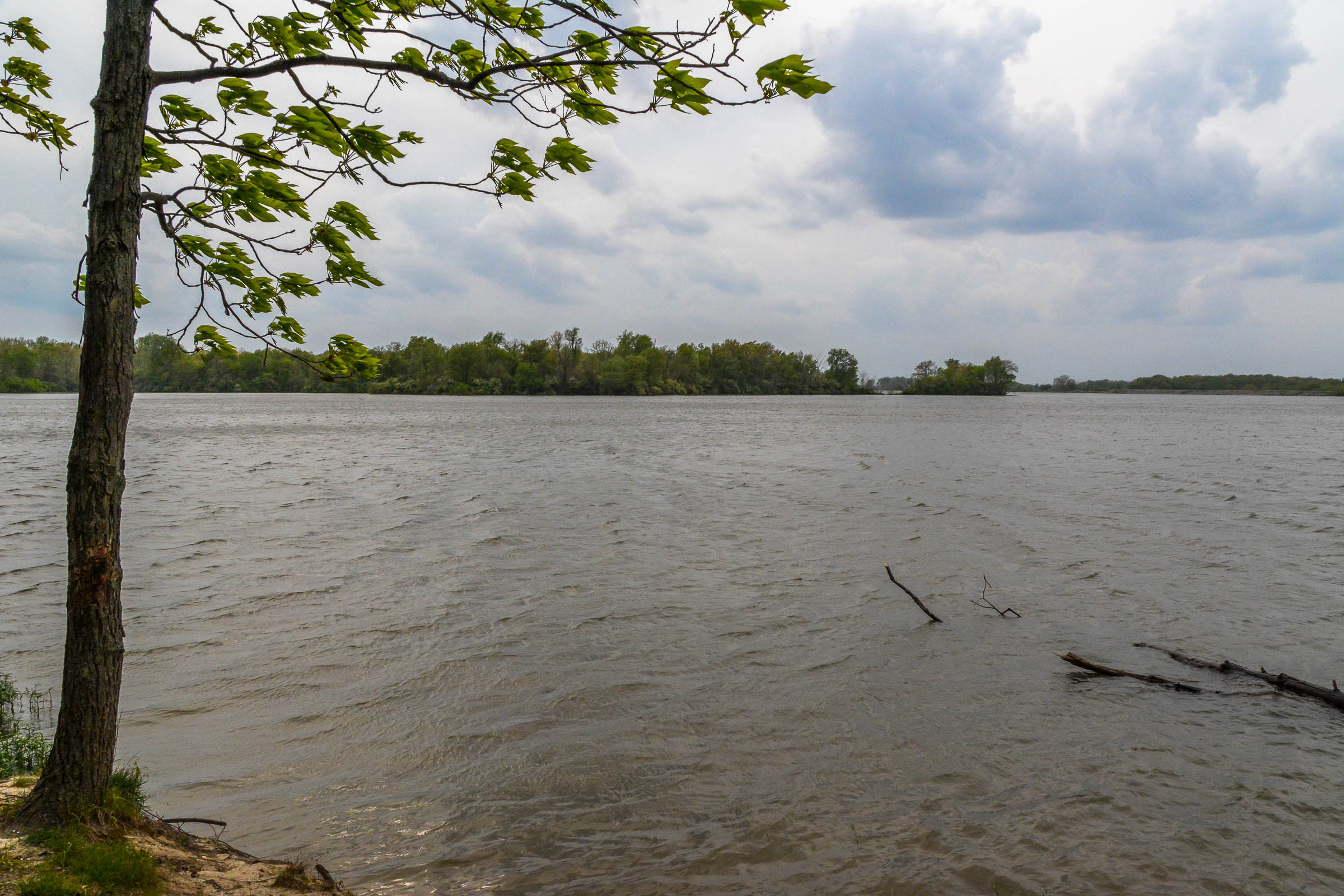
Sangchris Lake Illinois

Sunset at Sangchris Lake

Sangchris Lake

waking woods

Sunset at Sangchris Lake

Blue-tipped Dancer male
Sangchris Lake
Taylor 5

Blue-tipped Dancer male

Moonlit Taurus (3)

DSC_2157.JPG
DSC_1636.JPG

Adventures of the Green Caterpillar
Sangchris Lake

Gerald Fishing

Sangchris Lake Illinois
Topographic Map of Edinburg, IL, USA
Find elevation by address:

Places in Edinburg, IL, USA:
Places near Edinburg, IL, USA:
W Washington St, Edinburg, IL, USA
Buckhart Township
2511 County Rd 625 E
Kincaid
IL-29, Rochester, IL, USA
Main St, Bulpitt, IL, USA
Bulpitt
Jeisyville
S 1st St, Taylorville, IL, USA
South Fork Township
Main St, Rochester, IL, USA
E Calloway St, Taylorville, IL, USA
Co Hwy 40, Rochester, IL, USA
Taylorville Township
Christian County
Cotton Hill Township
New City Rd, Rochester, IL, USA
7900 Cardinal Hill Rd
Pawnee Township
Lincoln St, Pawnee, IL, USA
Recent Searches:
- Elevation of Beall Road, Beall Rd, Florida, USA
- Elevation of Leguwa, Nepal
- Elevation of County Rd, Enterprise, AL, USA
- Elevation of Kolchuginsky District, Vladimir Oblast, Russia
- Elevation of Shustino, Vladimir Oblast, Russia
- Elevation of Lampiasi St, Sarasota, FL, USA
- Elevation of Elwyn Dr, Roanoke Rapids, NC, USA
- Elevation of Congressional Dr, Stevensville, MD, USA
- Elevation of Bellview Rd, McLean, VA, USA
- Elevation of Stage Island Rd, Chatham, MA, USA