Elevation of Edgewood Dr, Peyton, CO, USA
Location: United States > Colorado > El Paso County > Peyton >
Longitude: -104.49471
Latitude: 39.1433224
Elevation: 2114m / 6936feet
Barometric Pressure: 78KPa
Elevation Map:
Satellite Map:
Related Photos:

View from the Fire Tower
Pike's Peak, CO
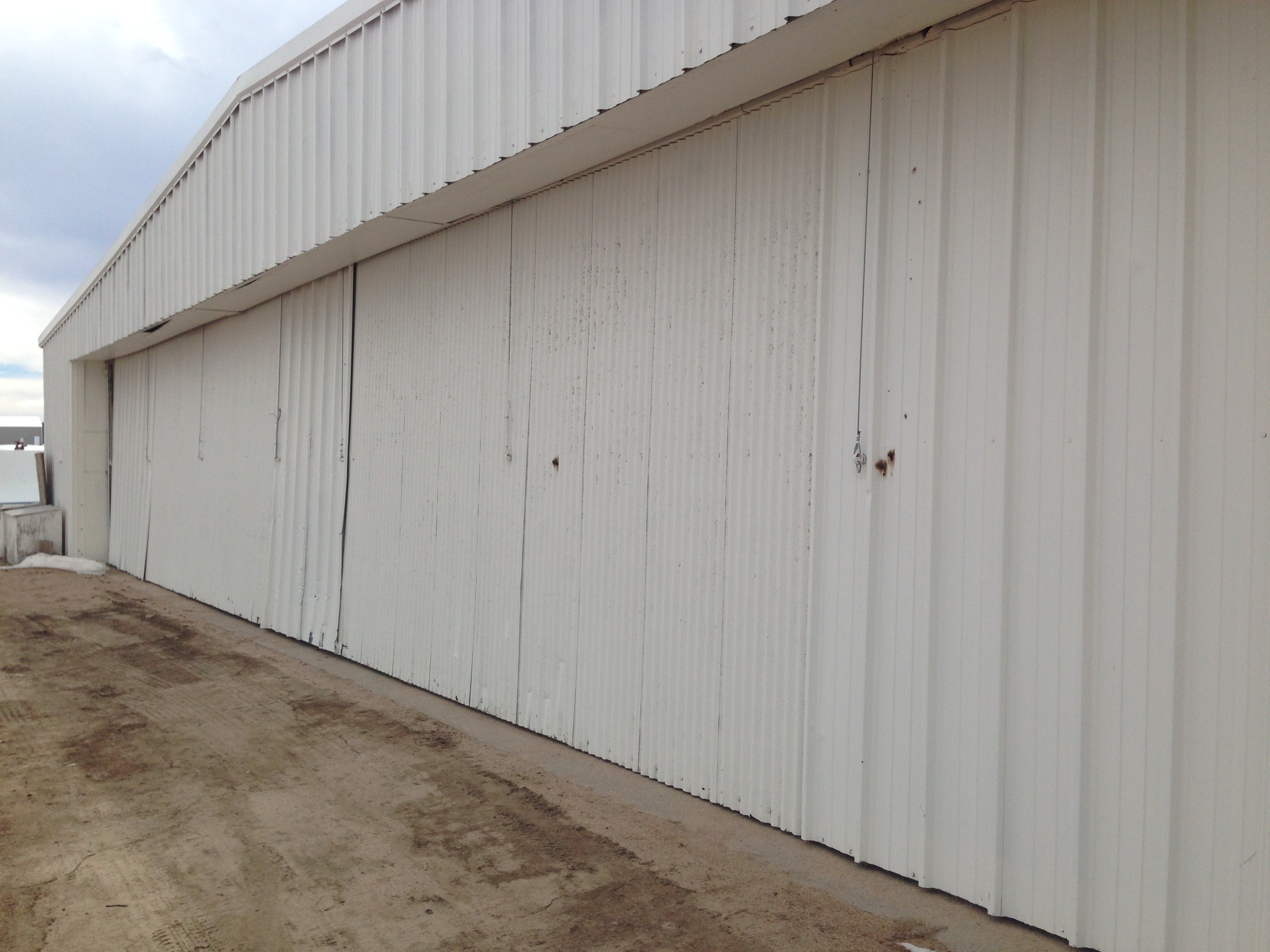
Hanger Door - Outside view

Door - Inside View
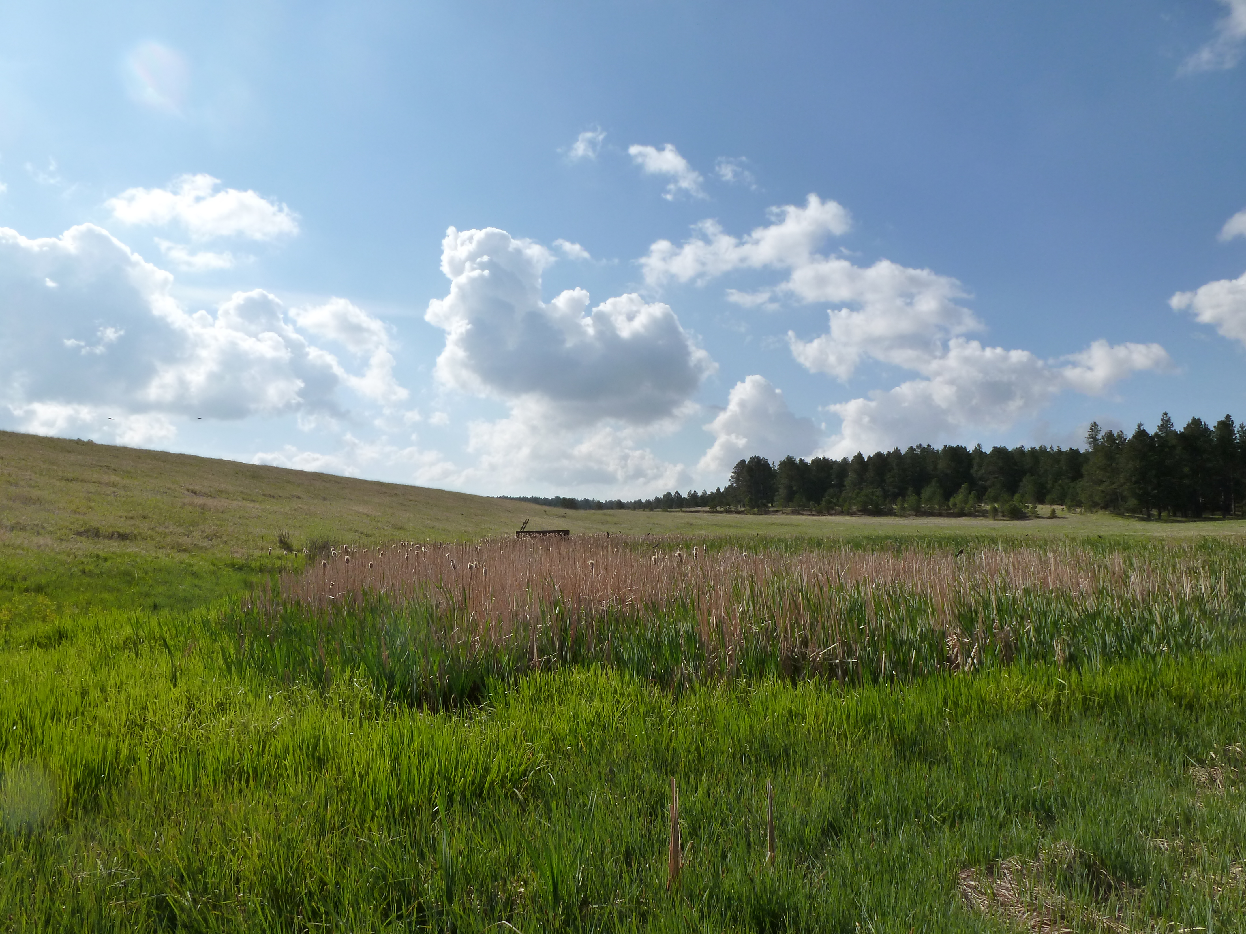
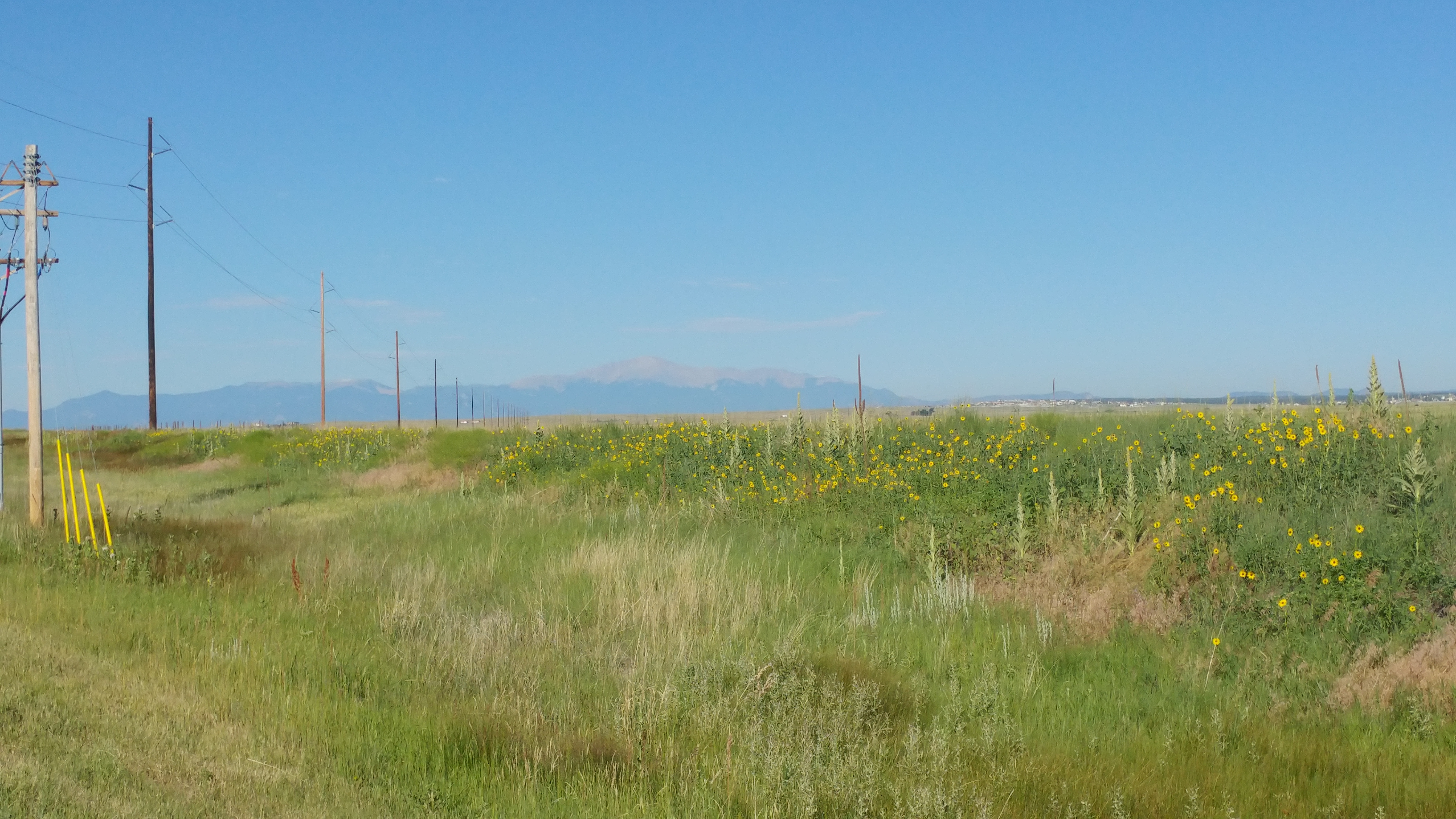
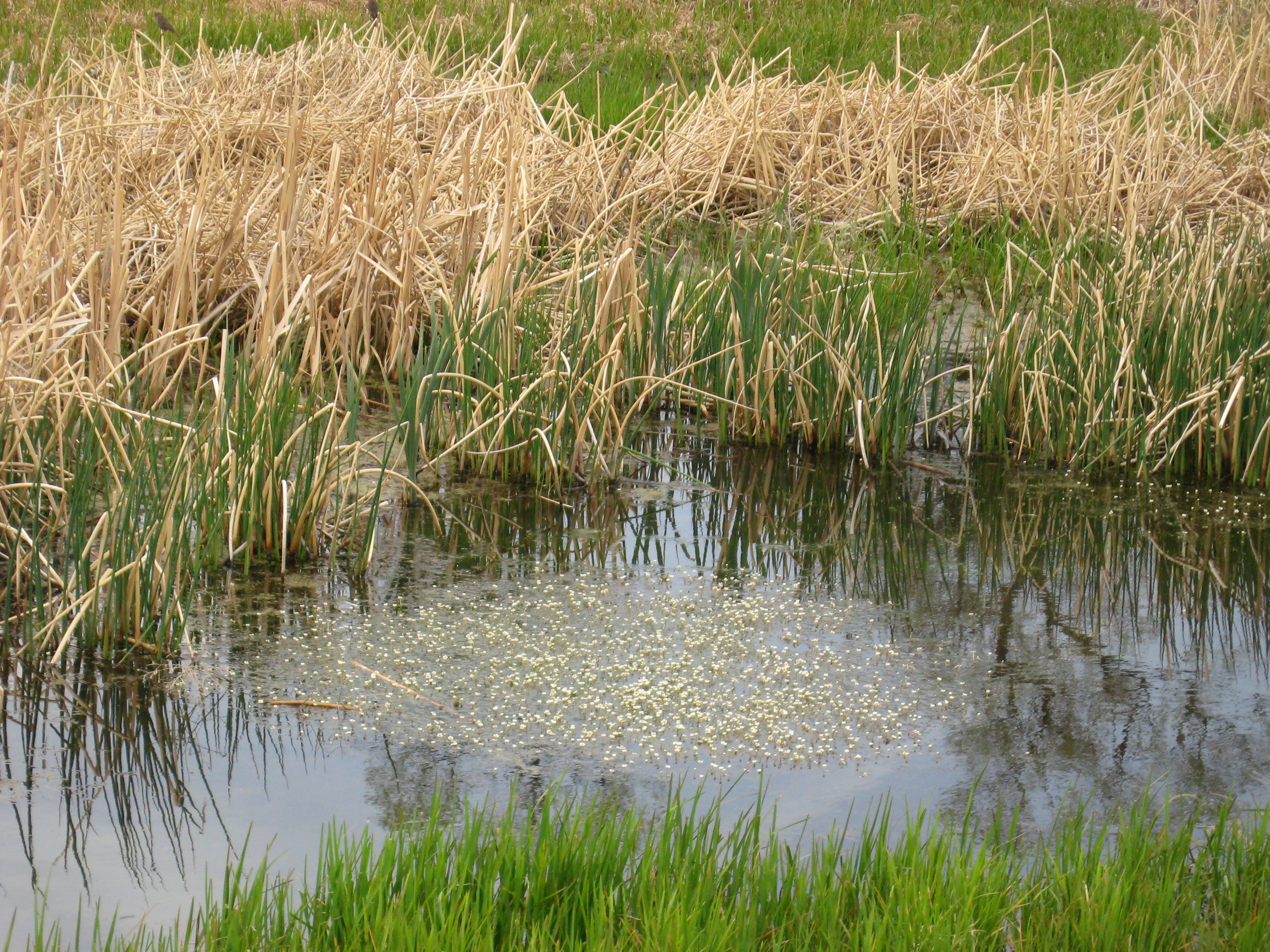
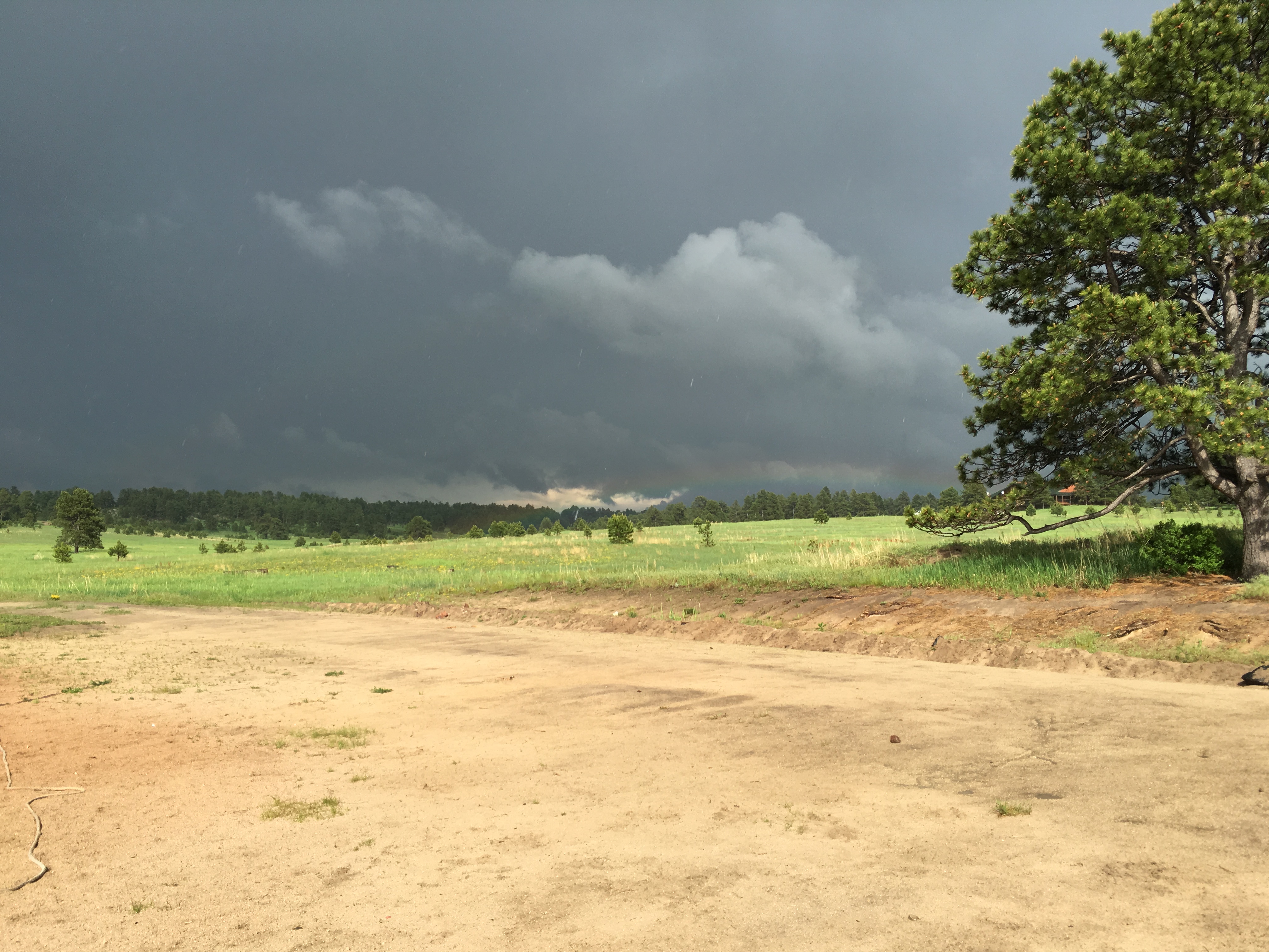
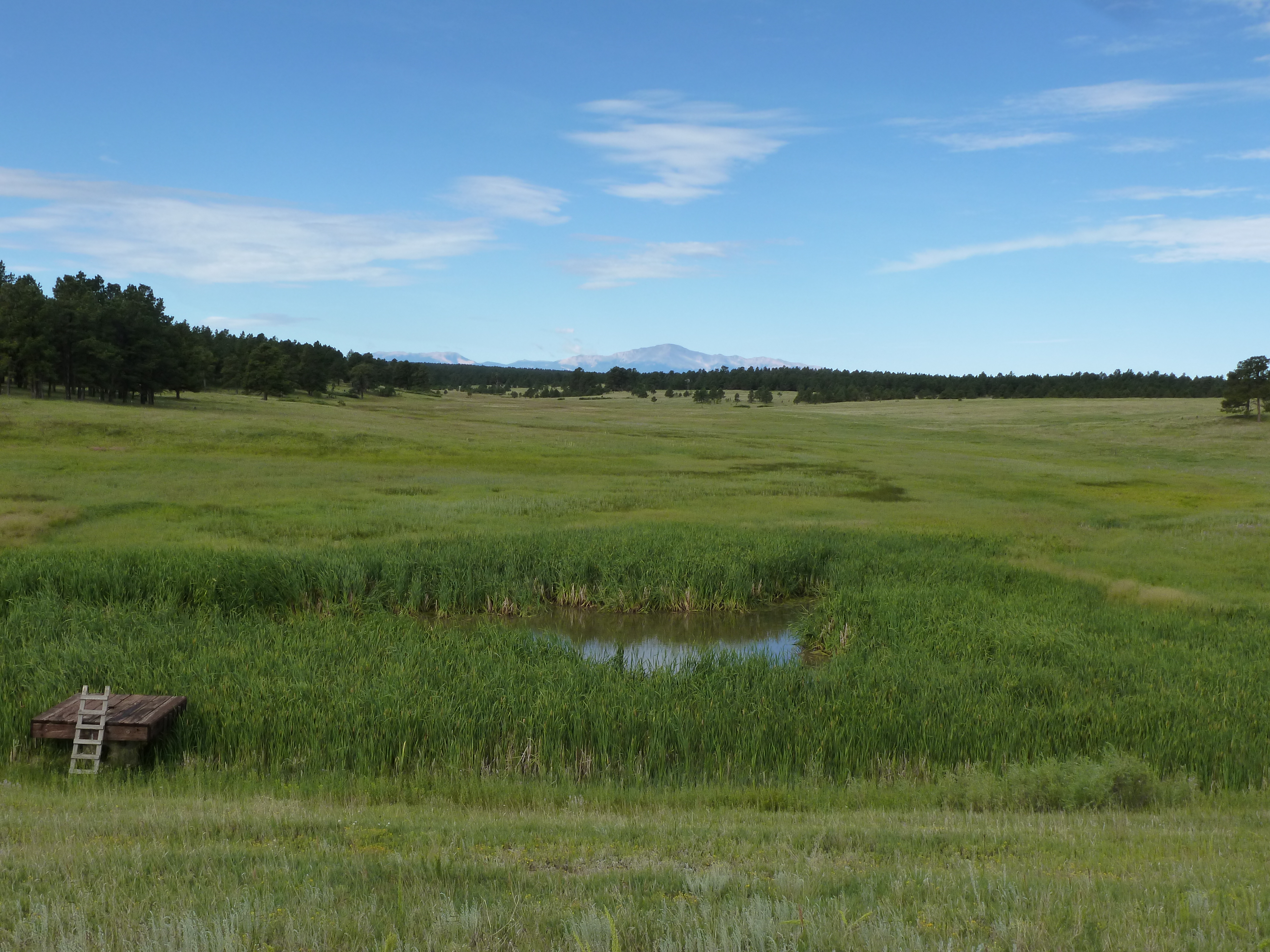
Wetland View

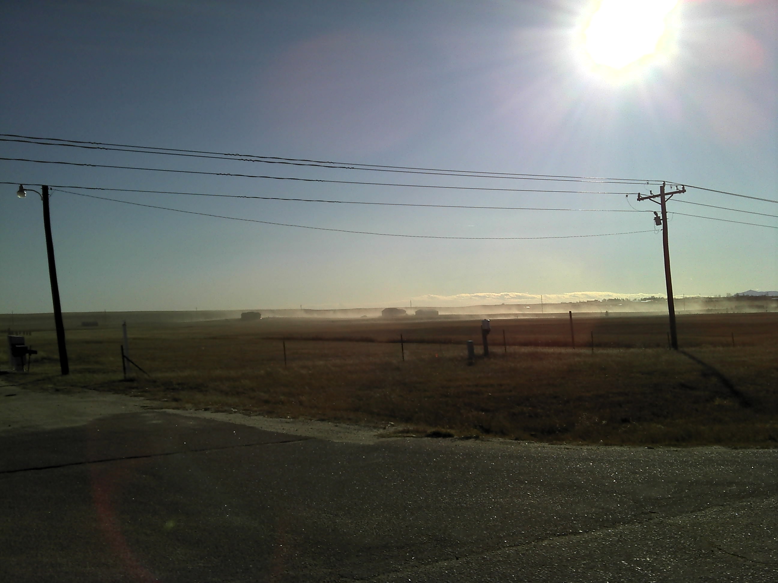
Hazy View

Sanctuary View of Pikes Peak

Wetland View

Pond View

Snow, Pond, Elbert, Colorado at Sunrise

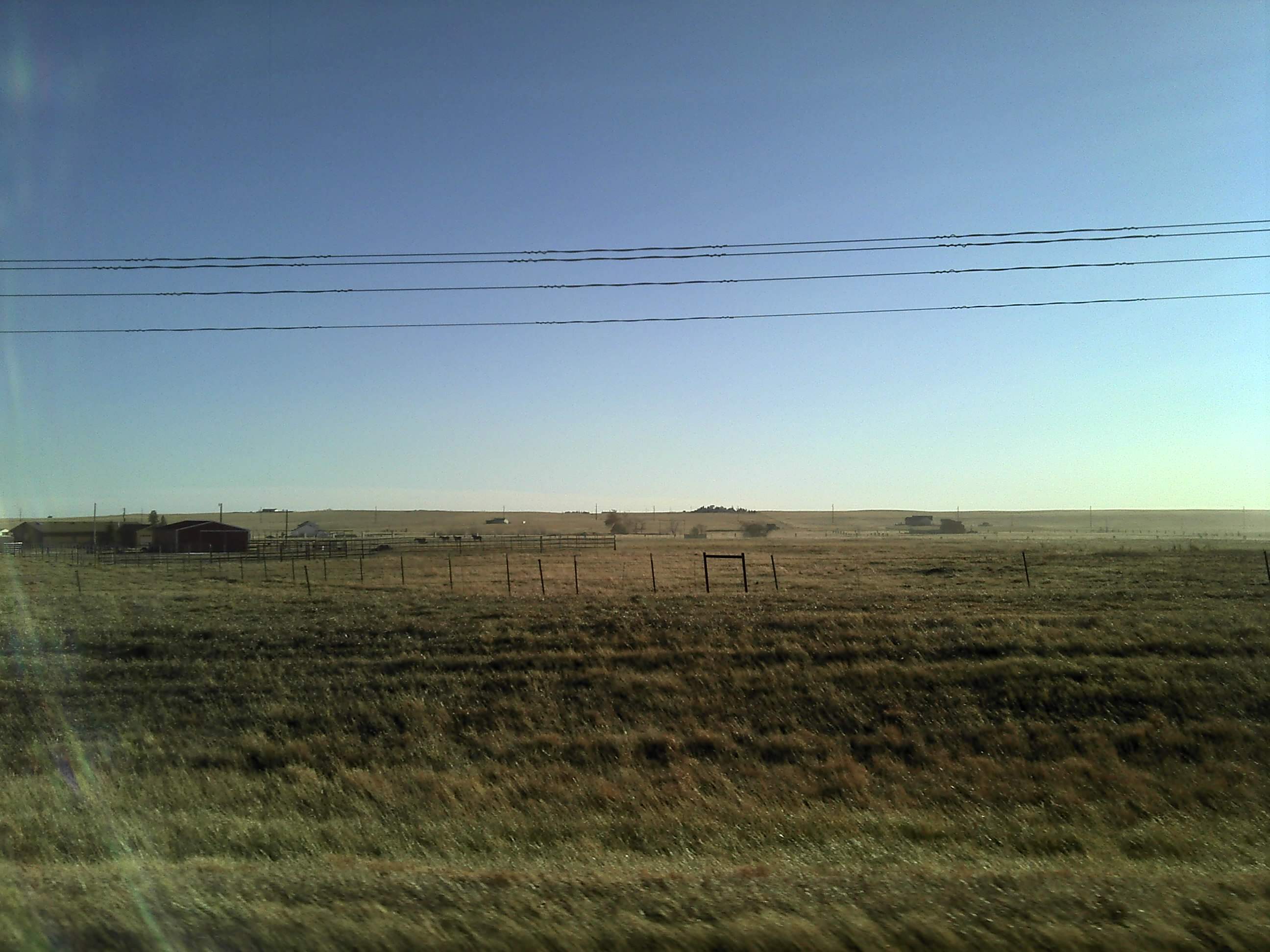
Road to nowhere
Marvin Bobo - image (81)
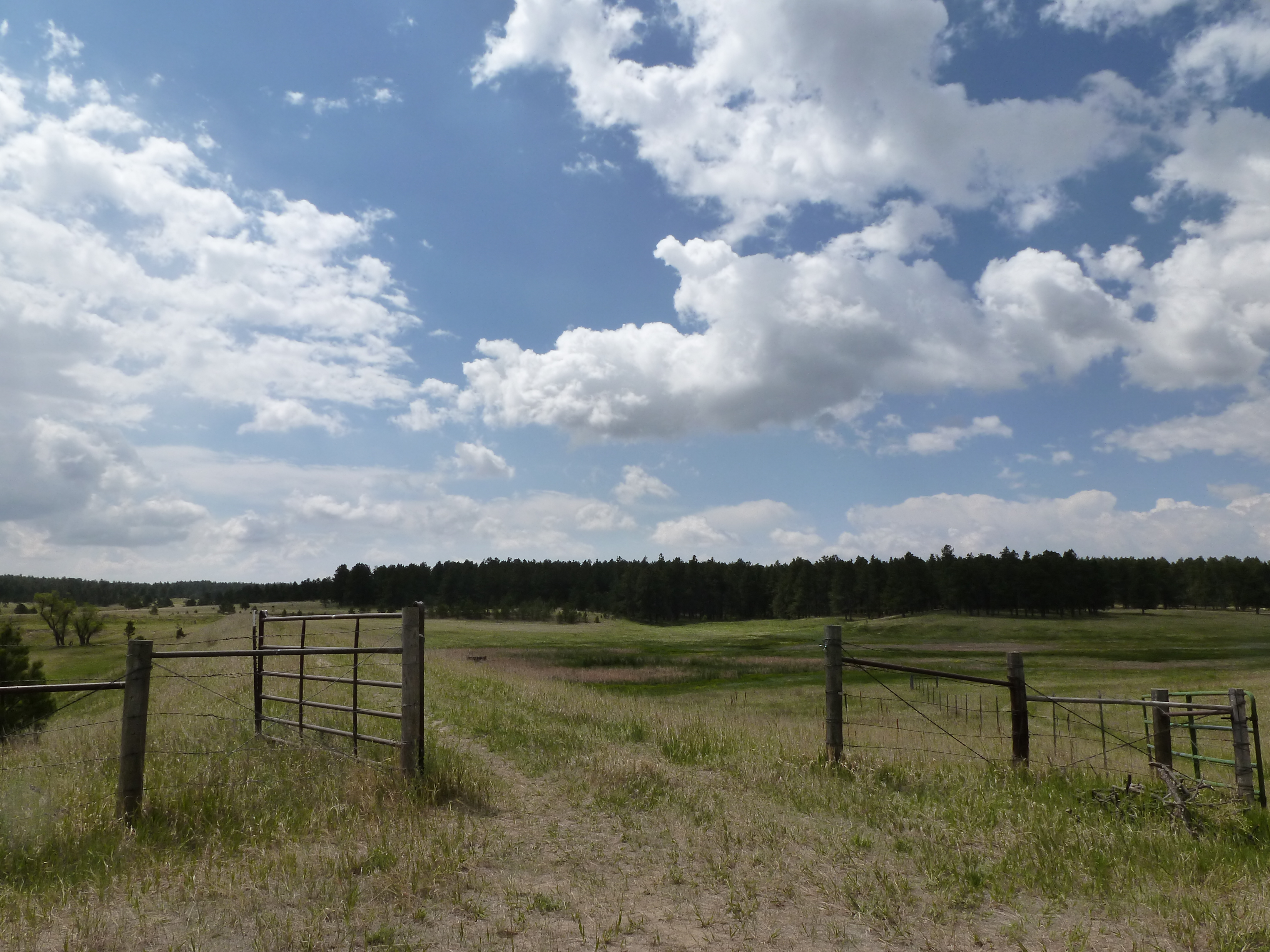
Through the gate
Another Small Wetland with Flowers
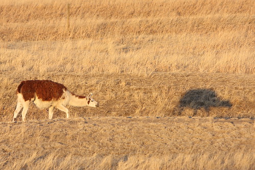
Me & my Shadow

Pikes Peak
Sent from a Motorola phone
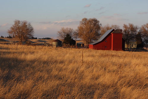
Red Barn & Setting Sun

George's cows - taken with my iPhone
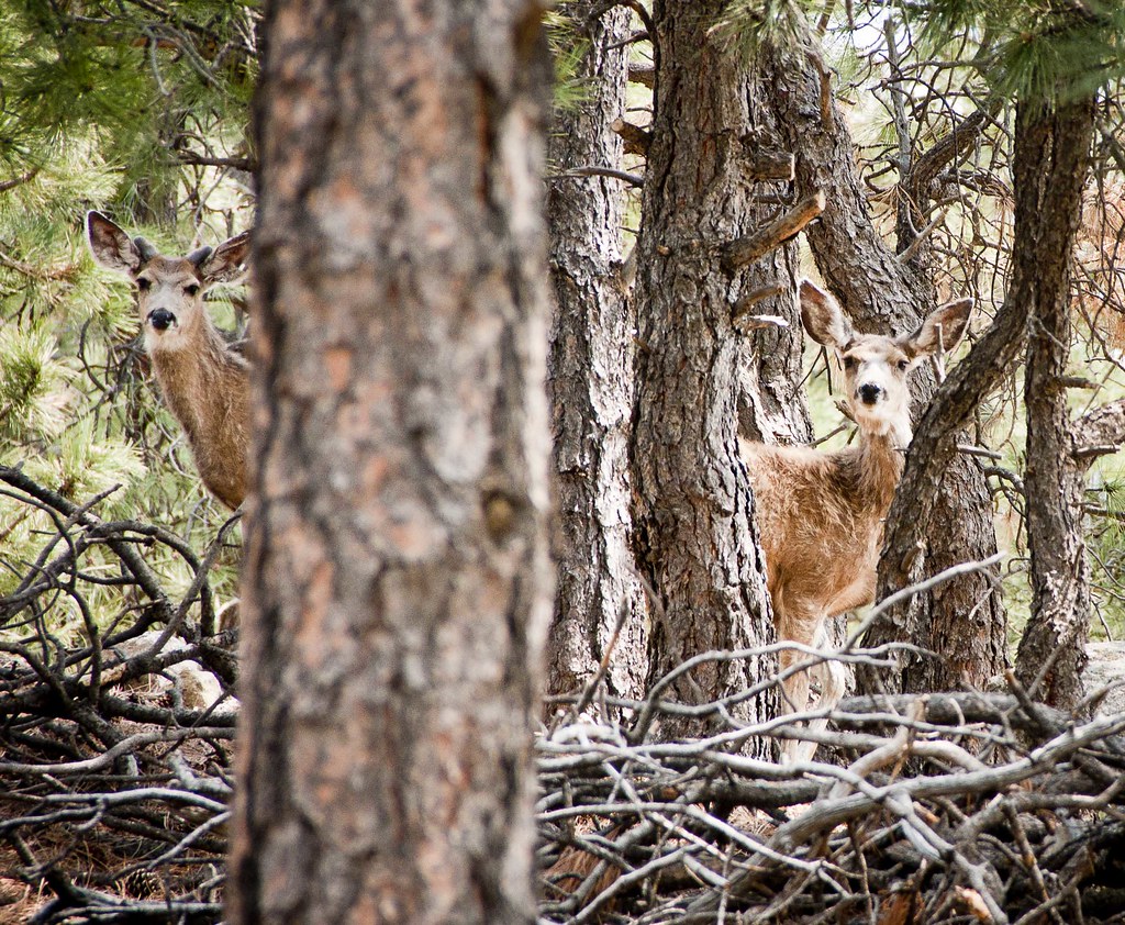
Mule Deer
Sent from a Motorola phone
Marvin Bobo - image (78)
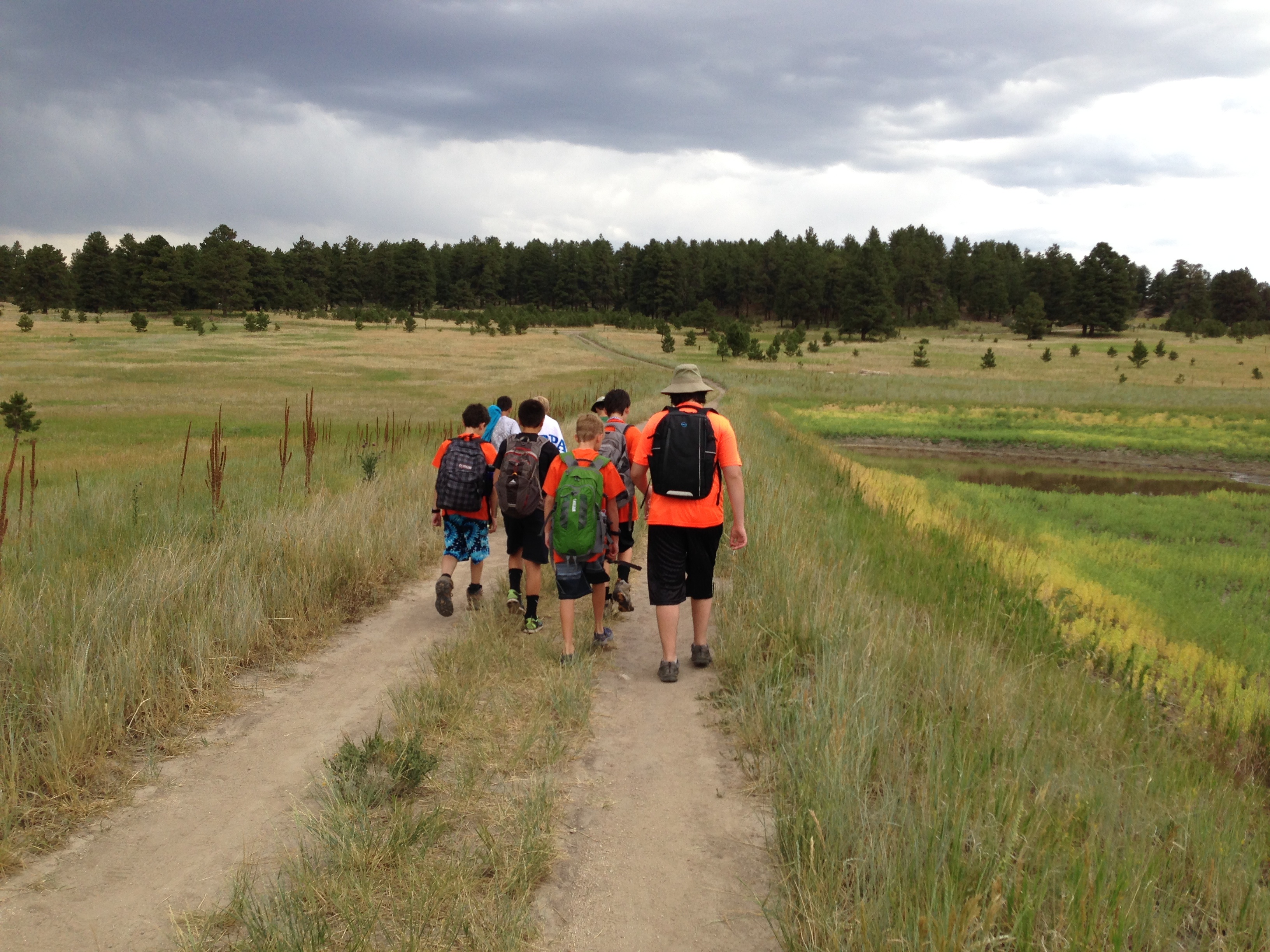
Heading back from Day 1 of the Rifle merit badge

Small Puffball Mushroom
Sent from a Motorola phone
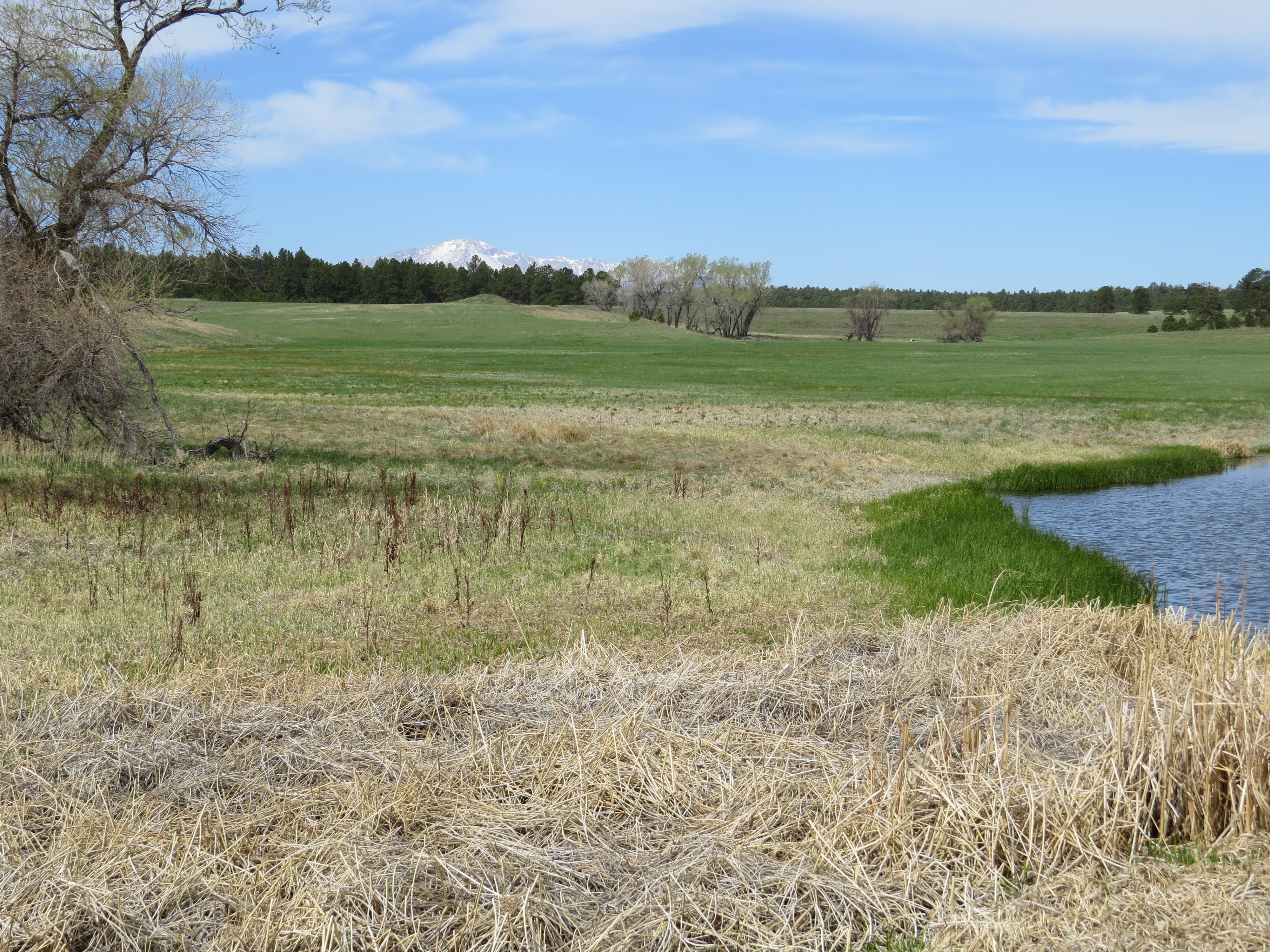
Pond and Peak
At the Pond
Topographic Map of Edgewood Dr, Peyton, CO, USA
Find elevation by address:

Places near Edgewood Dr, Peyton, CO, USA:
Edgewood Drive
19405 Birdseye View
19960 Birdseye View
21623 Comanche Creek Dr
Connestoga Court
17843 Pinon Park Rd
18905 Ackerley Heights
17775 Lodgepole Rd
19220 Pinon Park Rd
Sweet Road
18840 Sweet Rd
Homestead Ranch Park
16110 Reata Rd
11535 Fulda Ln
5291 Antelope Trail
19550 Horseshoe Ct
14630 Tiboria Loop
4453 Porcupine Trail
Eastonville
Peyton
Recent Searches:
- Elevation of Unnamed Road, Respublika Severnaya Osetiya — Alaniya, Russia
- Elevation of Verkhny Fiagdon, North Ossetia–Alania Republic, Russia
- Elevation of F. Viola Hiway, San Rafael, Bulacan, Philippines
- Elevation of Herbage Dr, Gulfport, MS, USA
- Elevation of Lilac Cir, Haldimand, ON N3W 2G9, Canada
- Elevation of Harrod Branch Road, Harrod Branch Rd, Kentucky, USA
- Elevation of Wyndham Grand Barbados Sam Lords Castle All Inclusive Resort, End of Belair Road, Long Bay, Bridgetown Barbados
- Elevation of Iga Trl, Maggie Valley, NC, USA
- Elevation of N Co Rd 31D, Loveland, CO, USA
- Elevation of Lindever Ln, Palmetto, FL, USA